Annapurna Trek
All images © David Noble. No image can be used for any purpose
without permission
Page 6 - Ghorepani - Tatopani - Ghasa - Marpha (Day 8 to 10)
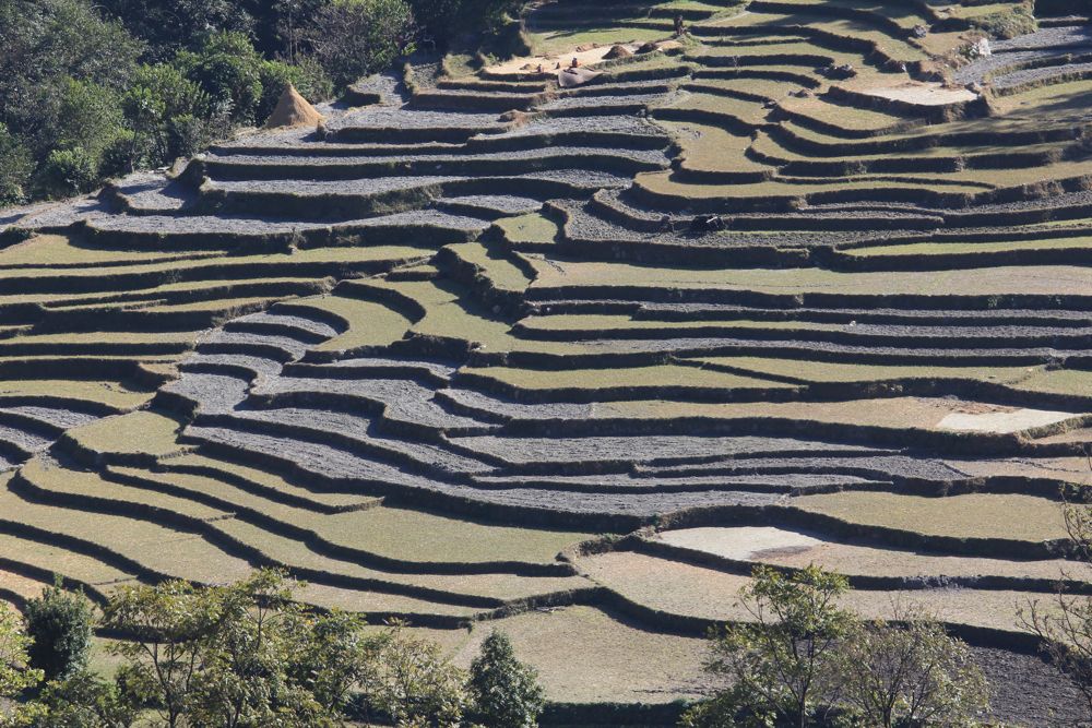
Above - terraces
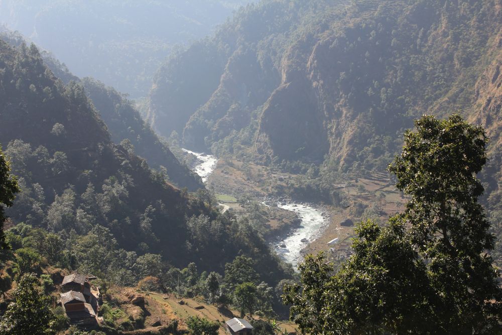
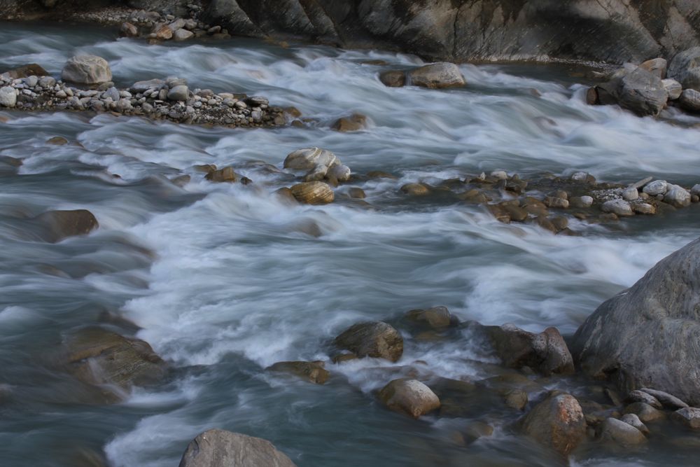
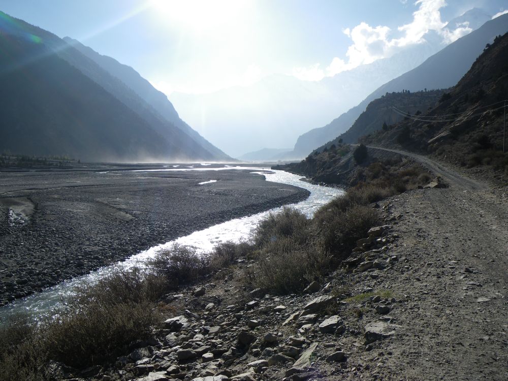
Above - the Kali Gandaki
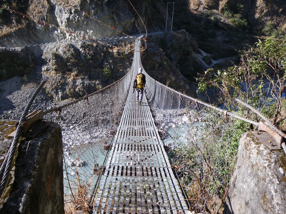
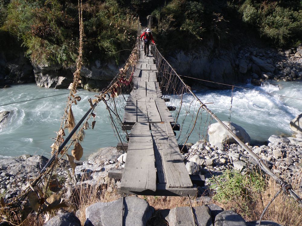
Above - Basu crossing the Kali Gandaki
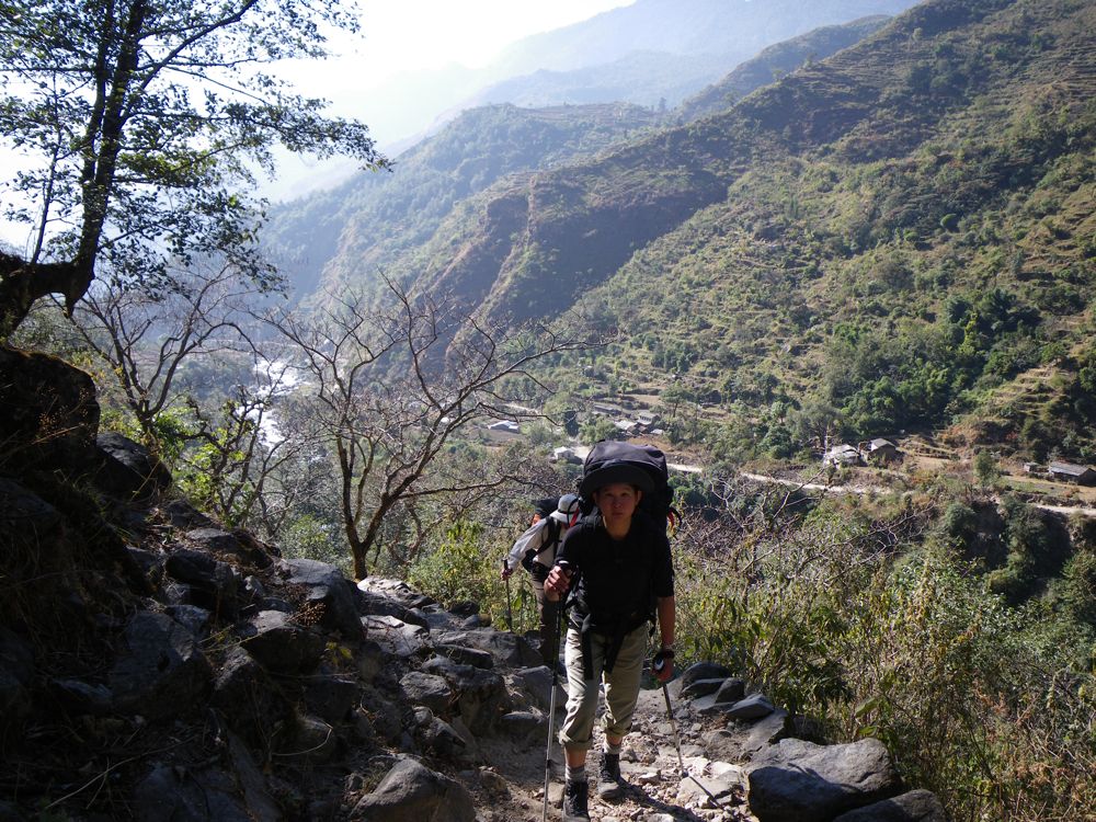
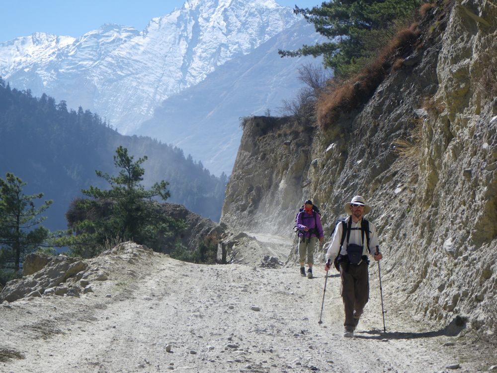
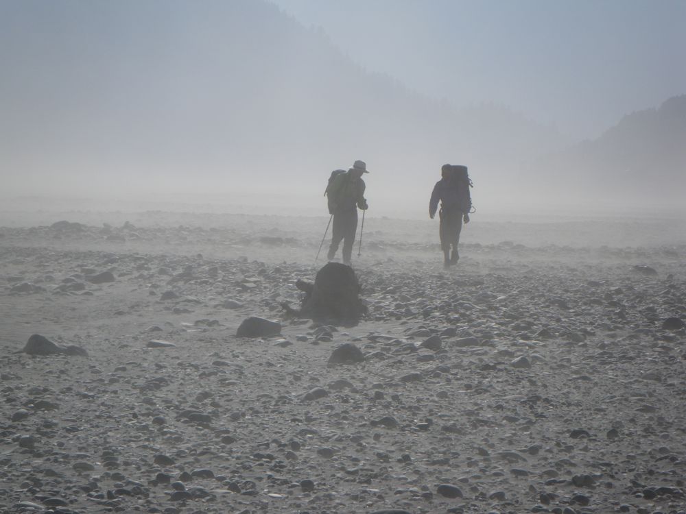
Above - John and Chuin Nee walking to Tatopani
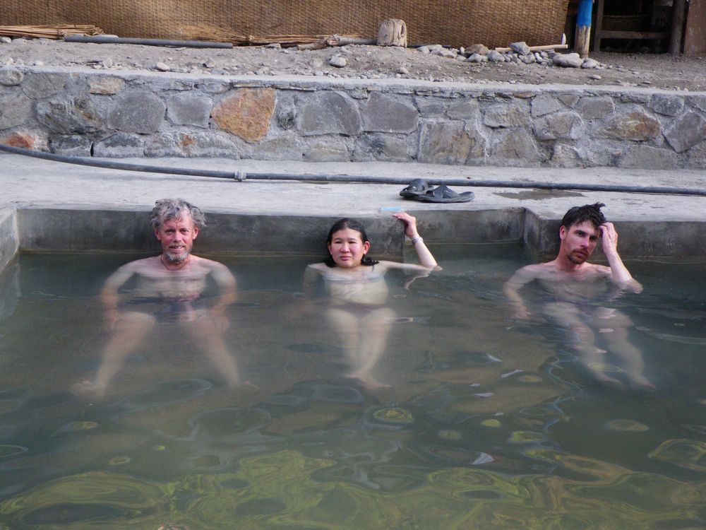
Above - Tatopani means "hot water" - and we enjoyed the thermal pools.
Dave, Chuin Nee and John in the pool (photo taken by Basu). Earlier we
visited Tadapani - which means a "long way to water"
Above - the thermal pools are next to the Kali Gandaki
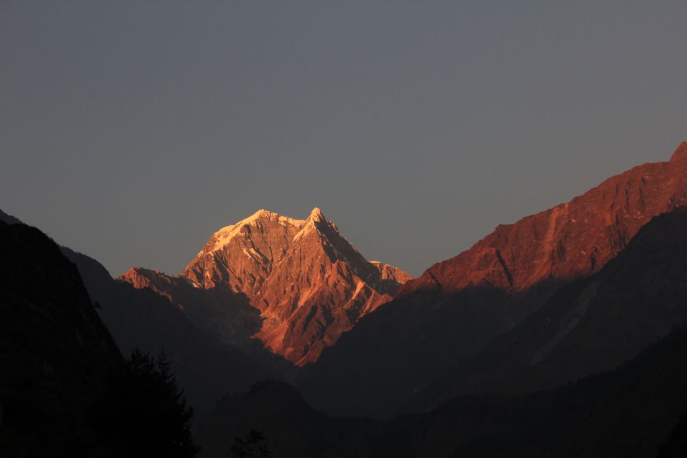
Above - Nilgiri Peaks
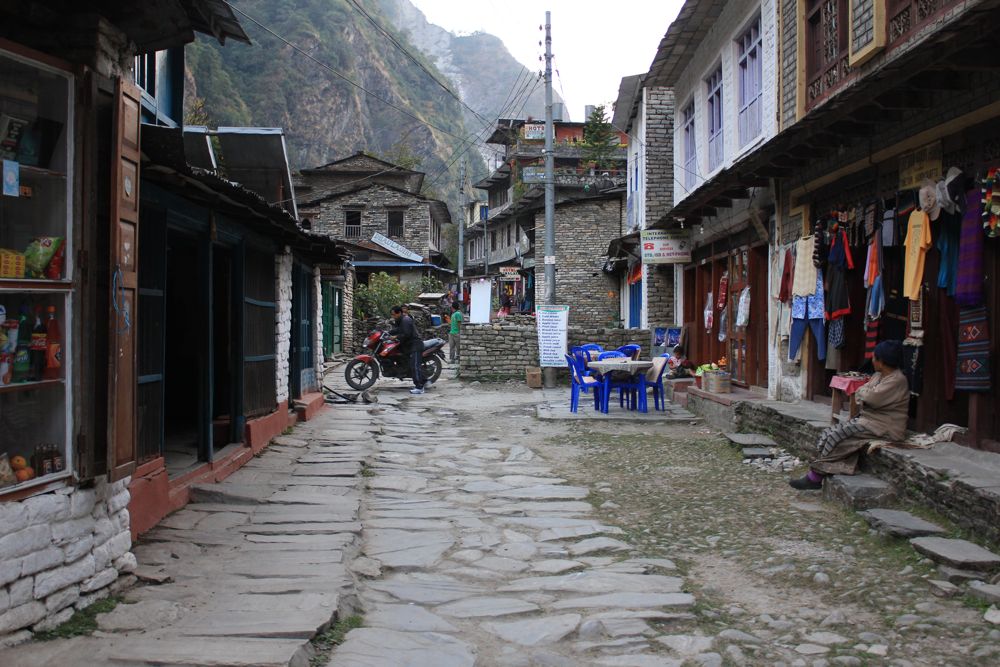
Above - Tatopani
Day 9 - Tatopani - Ghasa
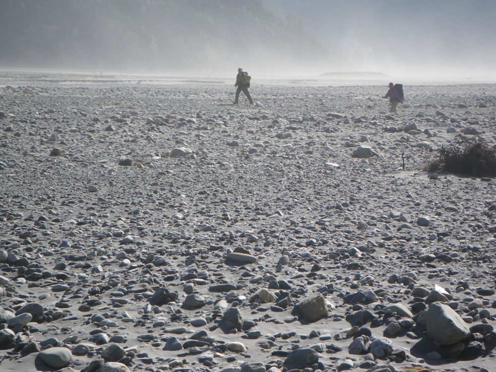
Above - to avoid a long road walk - we crossed the river and walked on
tracks on the other bank
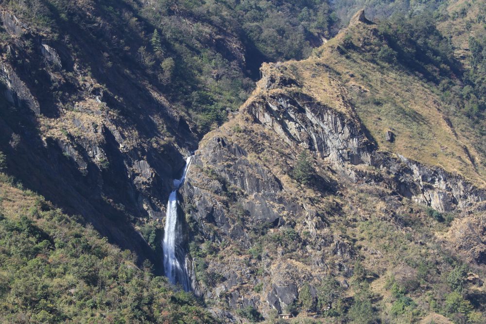
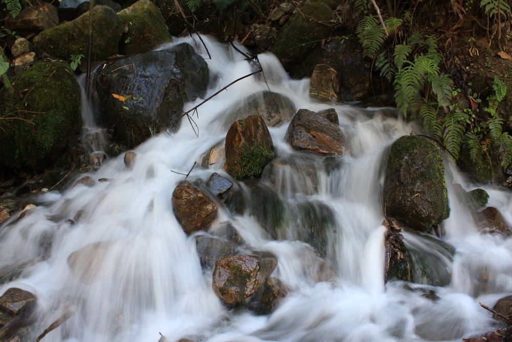
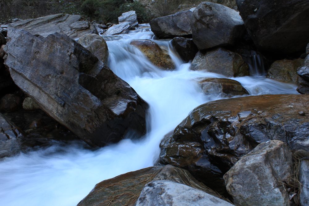
Above - waterfall
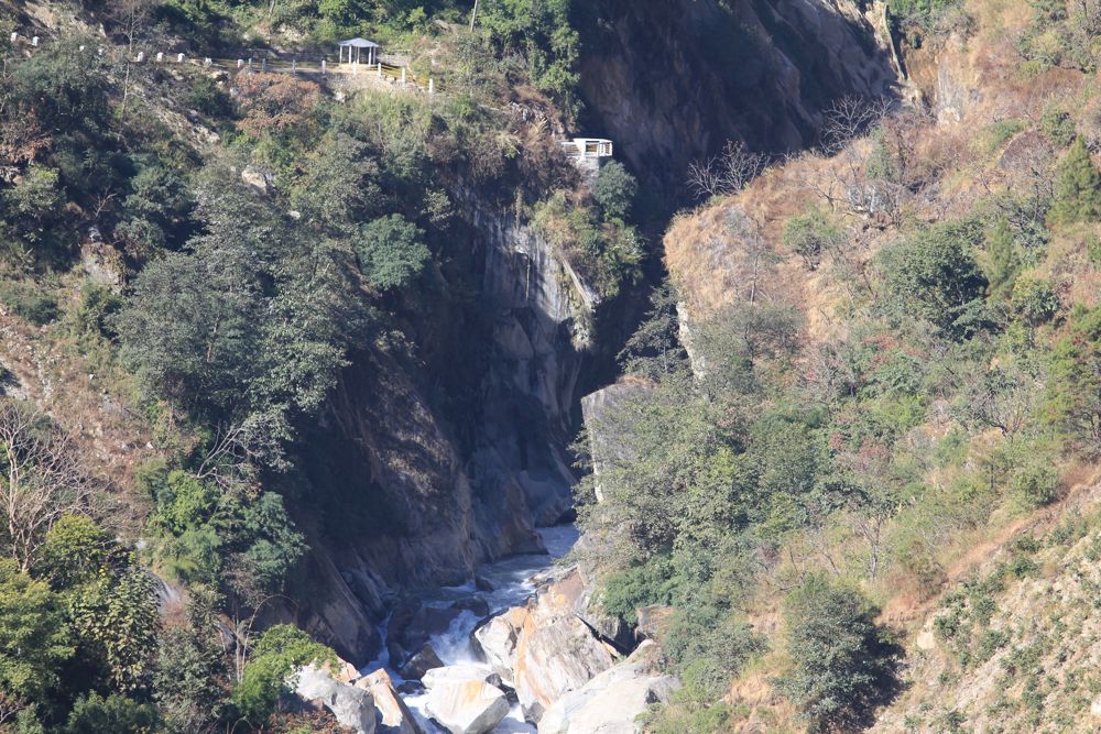
Above - Deep Gorge on the Kali Gandaki (in fact the worlds deepest
gorge)
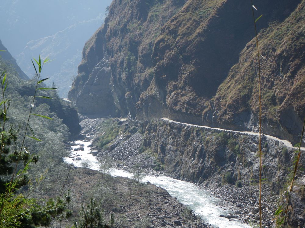
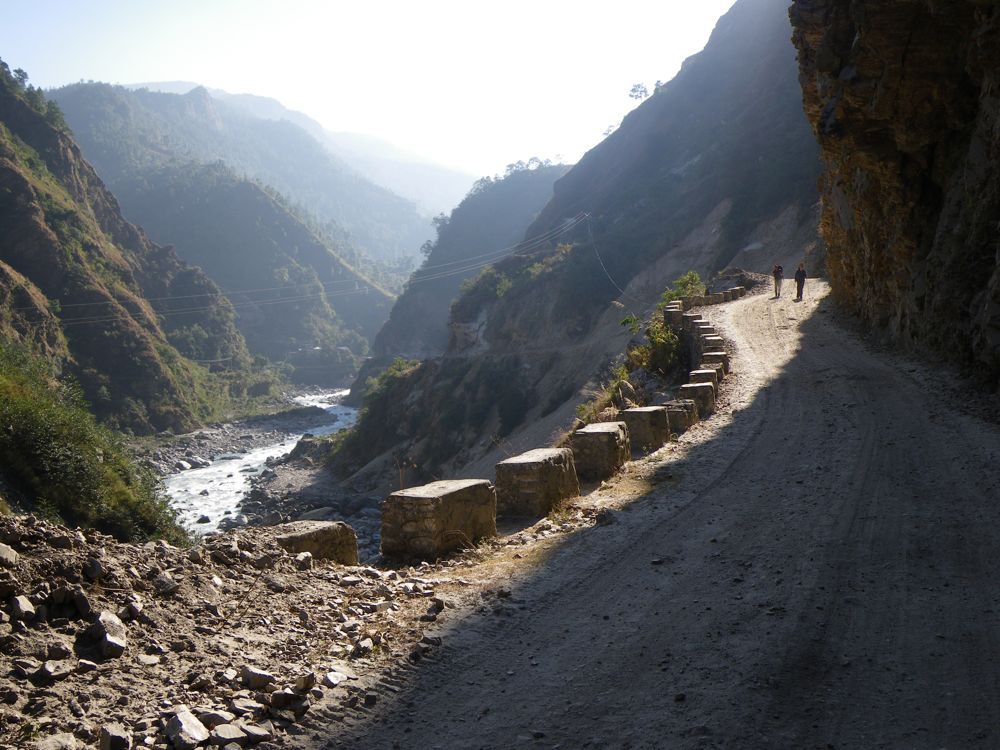
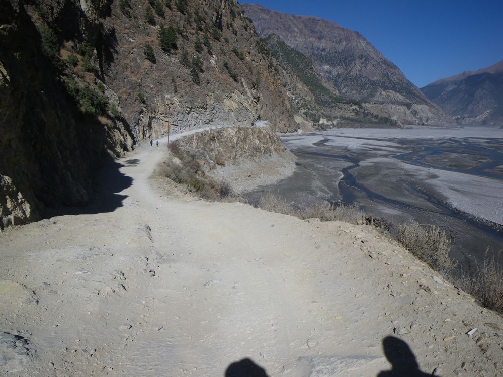
Above - this road up the river is fairly new and has changed the
Annapurna Circuit trek
Above - small side creek
Above - crossing the river once more
We stayed the night in a lodge at Ghasa. In the afternoon we wondered
up the valley a bit
Above - the Kaiku Khola
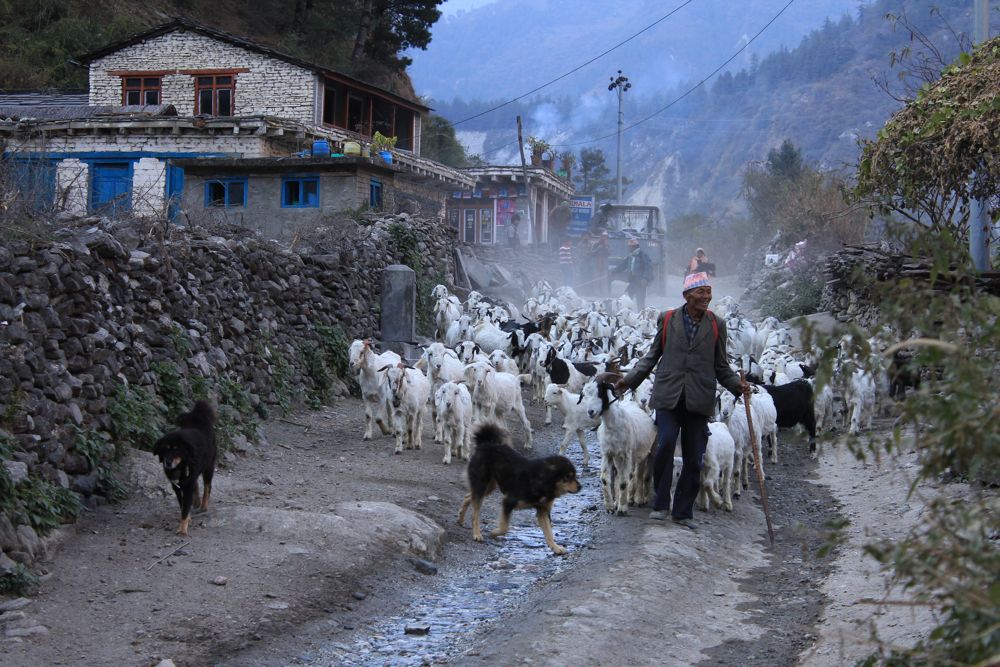
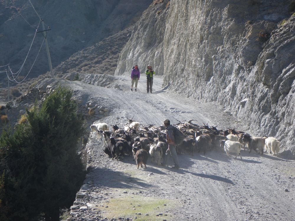
Above - goat herder
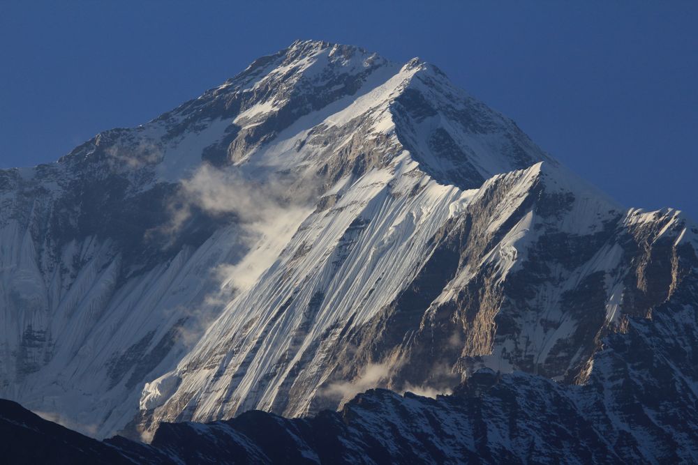
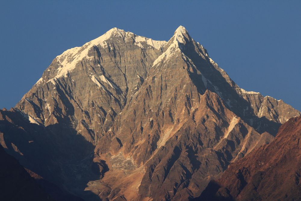
Above - Dhaulagiri
Day 10 - Ghasa - Kalopani - Larjung - Tukuche - Marpha
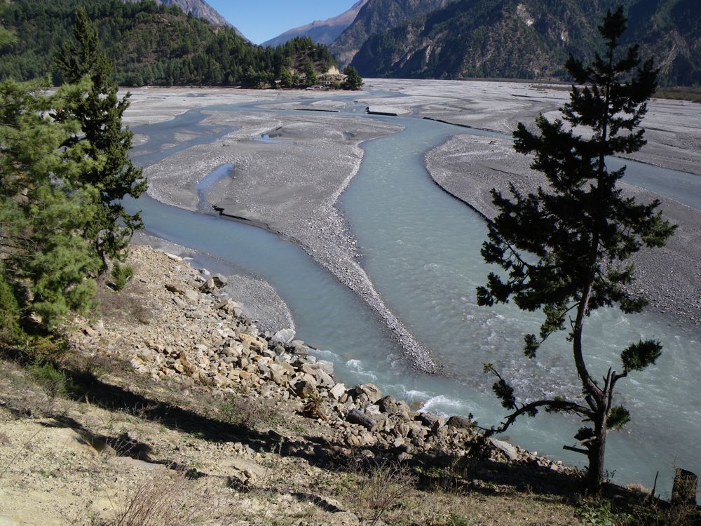
Above - the river changes as you go upstream - into a flat braided
section
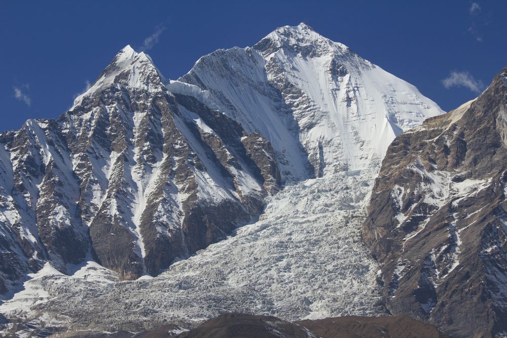
Above - Dhaulagiri
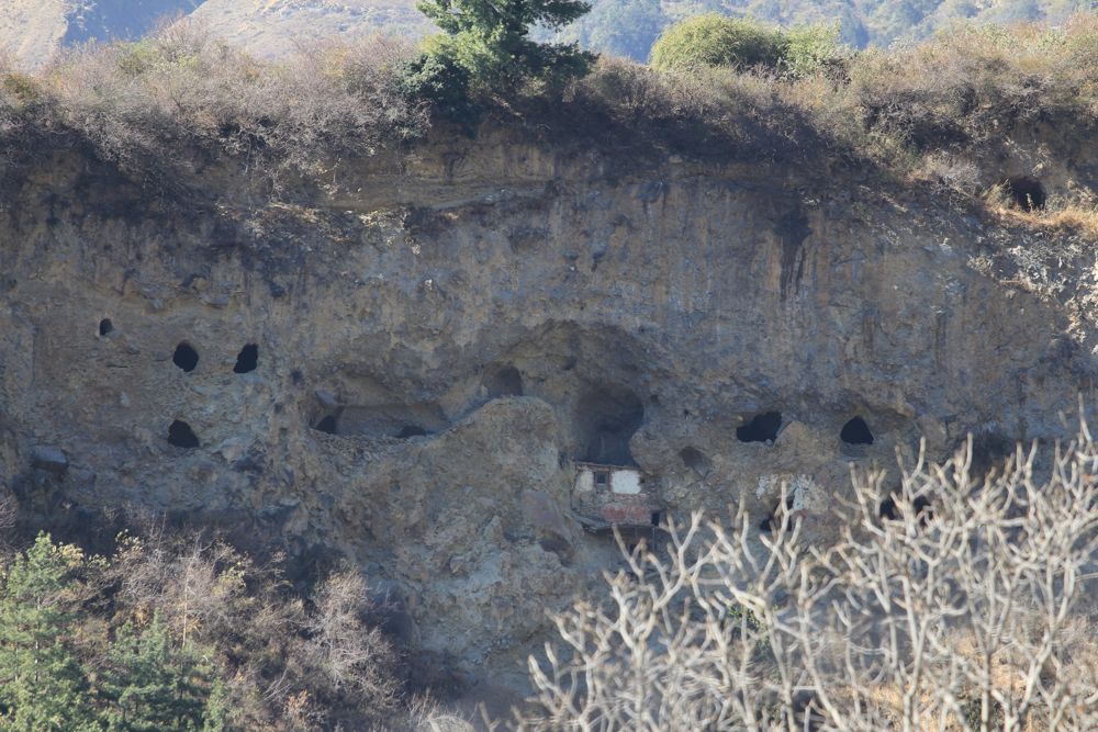
Above - caves above Tukuche - used by holy men
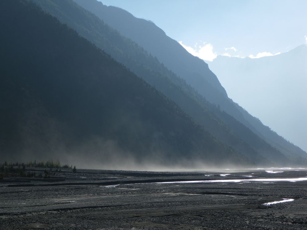
Above - John and Chuin Nee wanted to walk off the road - but the
riverbed was very dusty. In this region - every afternoon a strong wind
springs up (blowing up the valley)
Above - back on the road
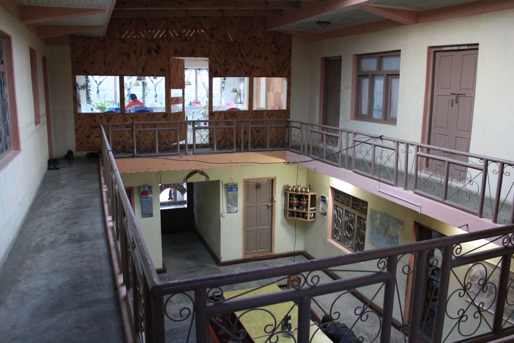
Above - in our lodge at Marpha. It is common for the lodges here to
have a closed inner courtyard - to avoid the wind
Continue to Page 7
Return to Annapurna Trek Menu
Return to Nepal Menu
Return to david-noble.net