Europe 2006 - Walkers Haute Route - Chamonix to Zermatt
All photos © David Noble. No image can be used for any purpose without permission.
Day 7 - September 14 - Cabane de Prafleuri to Les Haudéres
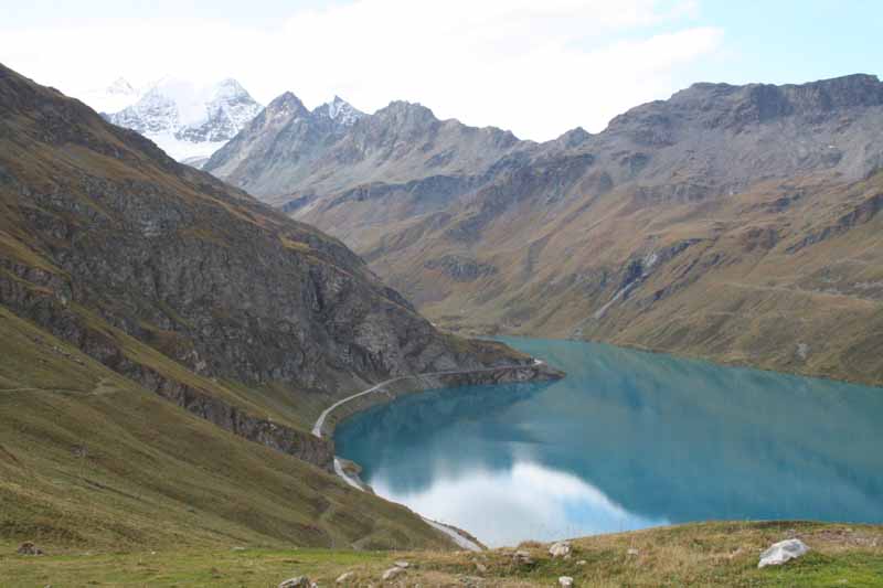
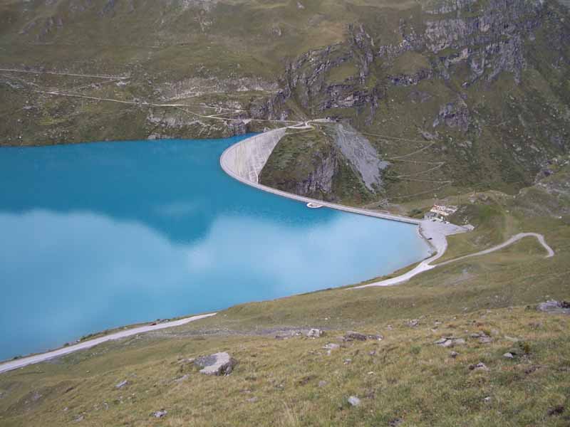
The route first went over the Col Des Roux (2804m) then dropped down to Lac des Dix

Above - Lac des Dix

Above - Ibex grazing above the lake
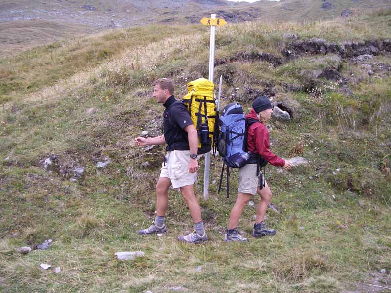
Above - Eric and Sue follow the sign
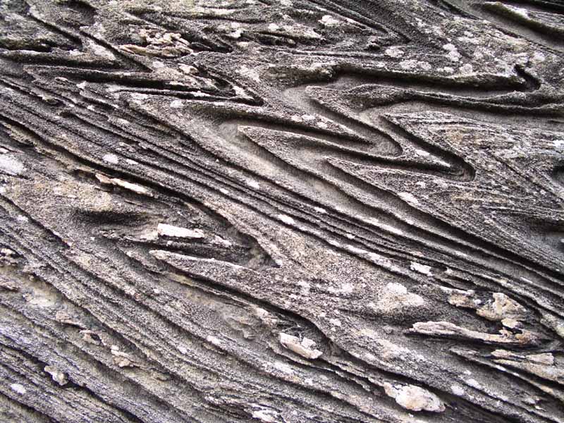
Above - Twisted rock
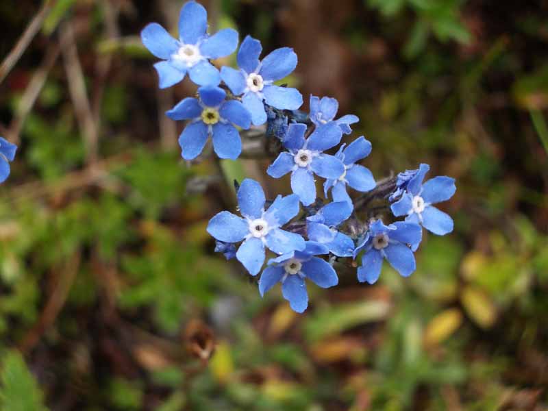
Above - Flowers
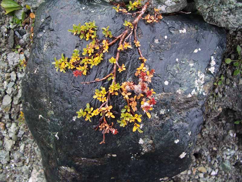
Above - Vegetation

Above - footbridge over a gorge above the lake
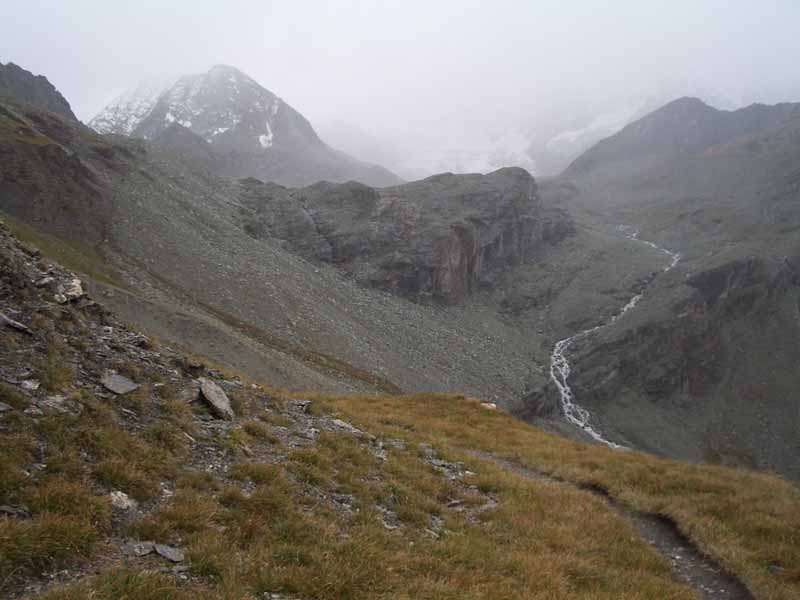
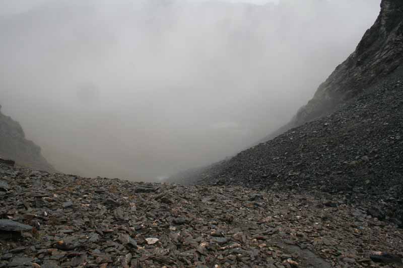
Above - looking up the valley - bad weather on the way
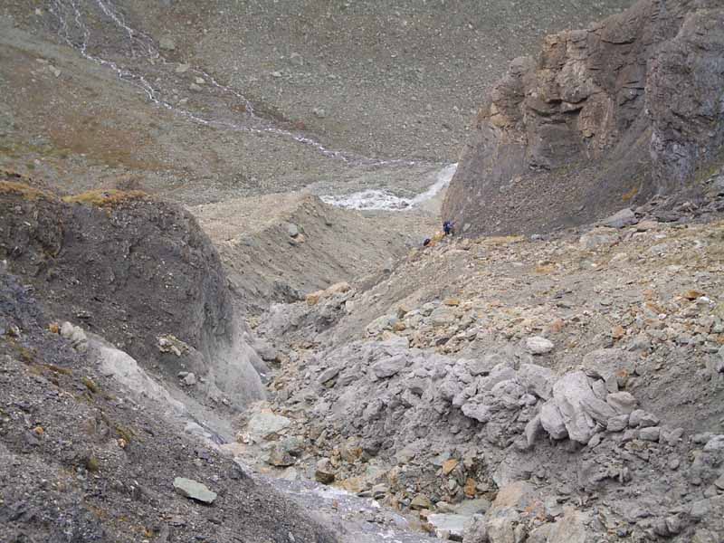
Above - Looking down at Wit and Jen, two more walkers from Colorado - climbing up out of the valley towards the pass.

Above - Local walkers on the ladders of the Pass des Chevres (2855m)
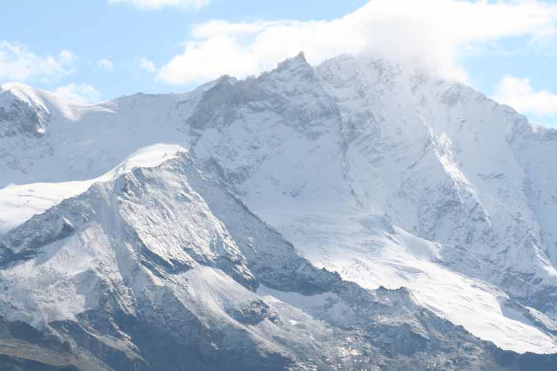
Above - looking down into the next valley at peaks above Arolla

Above - A small hamlet above Arolla - note the traditional roofs made from stone slabs - typical in the canton of Valais
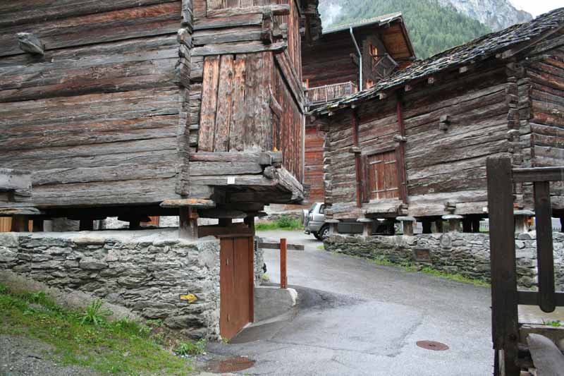
Above - Old granaries at Les Haudéres - the stones parts of the foundations are to prevent rodents getting into the grain
Day 8 - September 15 - Les Haudéres to Cabane de Moiry

Above - Looking back down to Les Haudéres on the way to La Sage. From here to the pass 1700m or so above - it rained.
Above - At the pass - the Col du Tsaté (2868m) - after crossing the pass the weather improved.
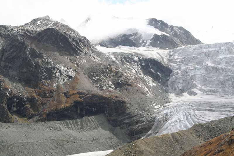
Above - Looking towards the Cabane de Moiry - hard to see in
about the middle of the photo - overlooking the Glacier de Moiry
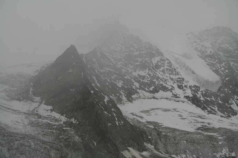
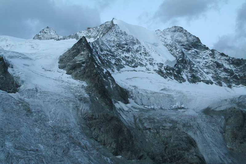
Above - the Glacier de Moiry
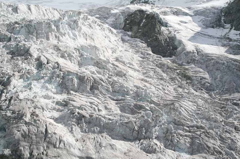
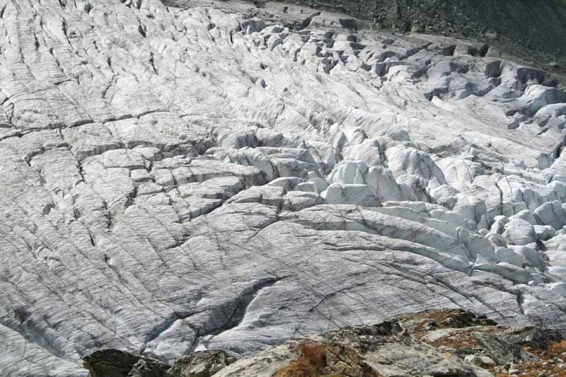
Above - the Moiry icefall
Above - late afternoon snowfall
At the cabane - I again met up with Wit and Jen and also two walkers
from Rock Island USA - Bill and Bob. Our meal that night included
venison and Dole and Pinot Noir wines.
Day 9 - September 16 - Cabane de Moiry to Zinal
Above - the next morning - clear and cool
Above - The route goes down the valley on a bevedere track perched high above Lac de Moiry
Above - Lac de Moiry
The route then climbs up to the Col de Sorebois (2847m)

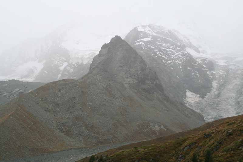
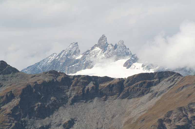
Above - looking back to Mt Blanc de Cheilon near Lac Dix (obsured by bad weather earlier)
Above - Looking forward - the Weisshorn
Above - looking back to the Aiguilles Rouges d'Arolla
From the Col de Sorebois I went to the ski-field on the other side to
the township of Zinal - where I camped at the local camping ground.
Continue to next section
Return to menu