Europe 2006 - Walkers Haute Route - Chamonix to Zermatt
All photos © David Noble. No image can be used for any purpose without permission.
Day 13 - September 20 - St Niklaus to Europahütte
The last two days of the walk were on the Europaweg - a high level
route about 2000m high (about 1400m from the valley floor) - all the
way to Zermatt. These las two days were very scenic.
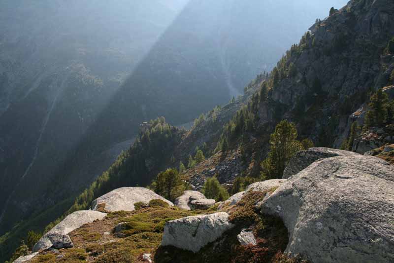
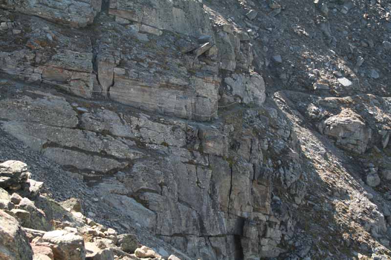
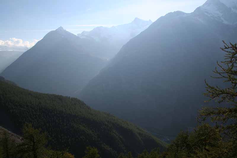
Above - Looking down towards the Reidlerscher Glacier
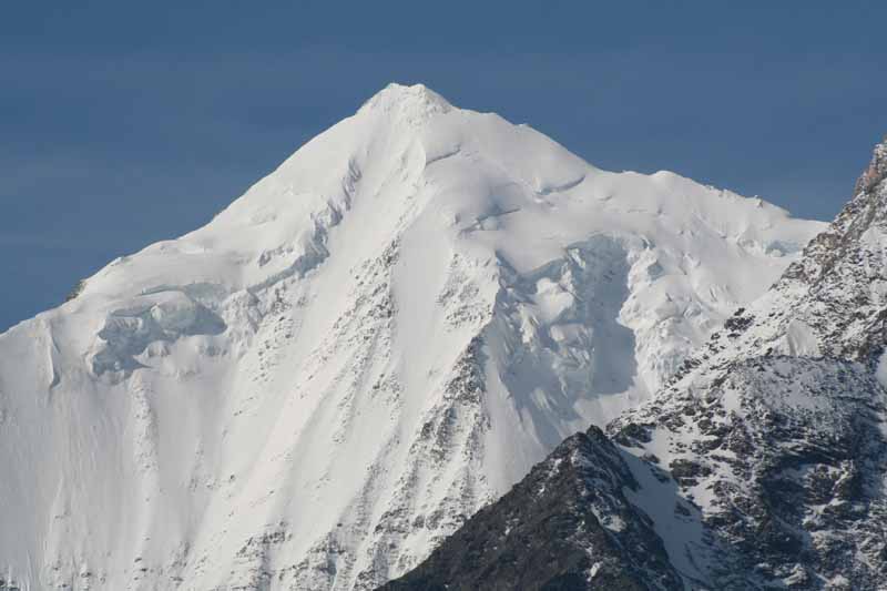
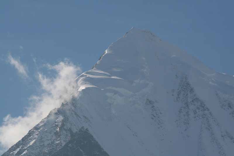
Above - The Weisshorn dominates the view for thesee two days
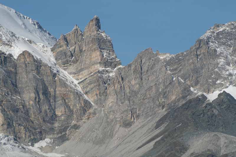
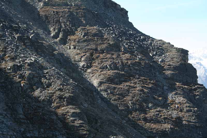
Above - Small side peaks of the Weisshorn

Above - peaks
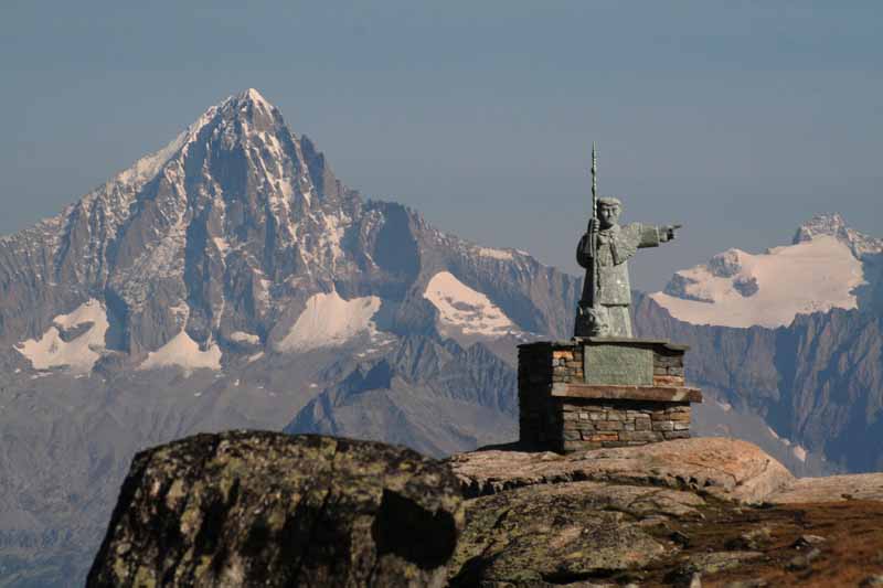
Above - St Bernard, patron saint of the Alps

Above - also the patron saint for hitchhiking?

Above - On the track - a danger area - where there is a high chance of rockfall
Above - The track cut out on the side of the valley
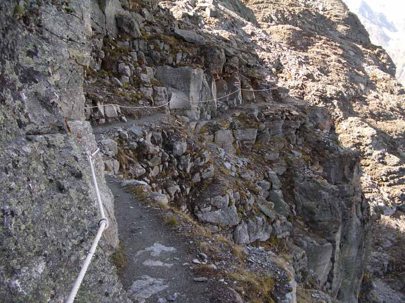
Above - The track

Above - ice patterns
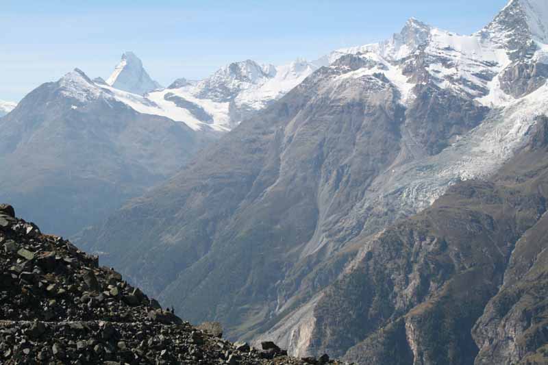
Above - A distant Matterhorn
Above - the track
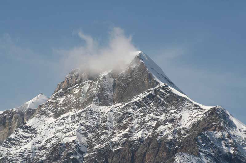
Above - peak near the Weisshorn

Above - the track
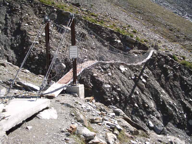
Above - rickety bridge
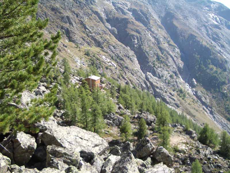
Above - the Europahütte
Above - The - the Europahütte was a good place to sit on the terrace having a beer and photographing the nearby peaks
Above - Looking up the valley

Above - Peaks up the valley
Continue to next section
Return to menu