Princess Mountains Traverse - February 1979
All images © David Noble. No image can be used for any purpose
without permission. Some photographs taken by Gordon Thompson.
This follows from Part 1 - the approach
walk via the Dusky and Hauroko Tracks

Above - Gordon at Lake Hauroko at the base of the Princess Mountains.
We had traverse around the lake - but not at lake level.
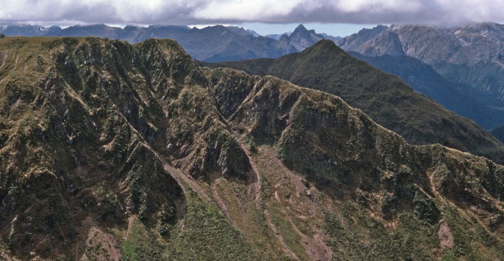
Above - on the way up - looking back down to Lake Hauroko
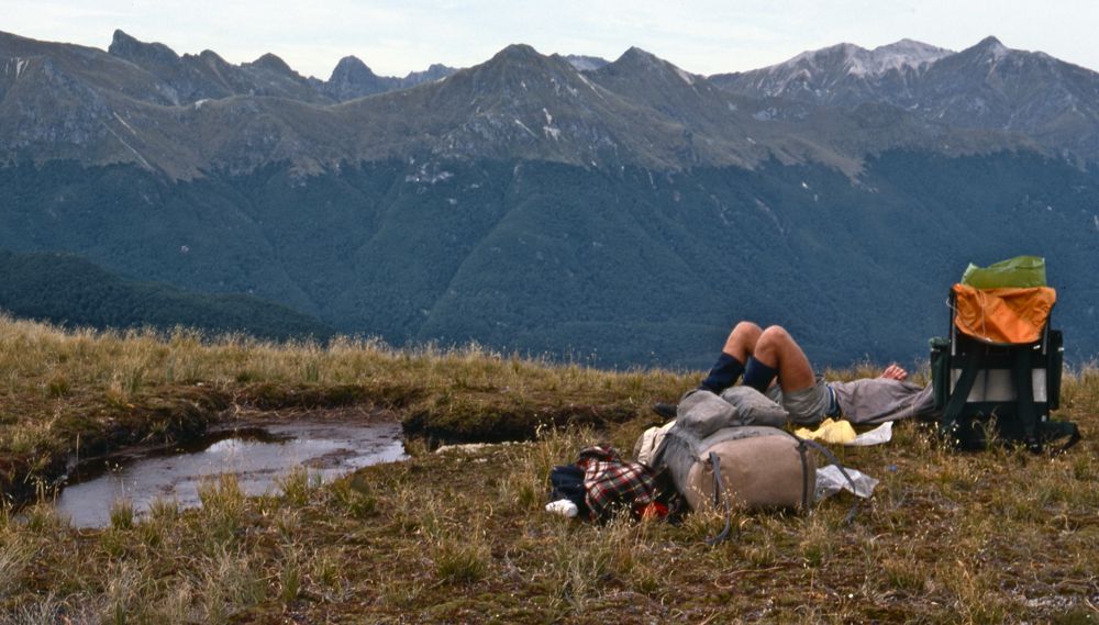
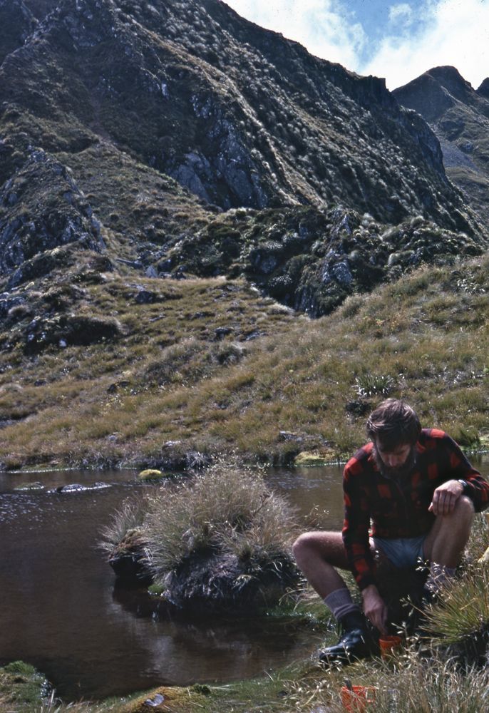
Above - resting at the bushline
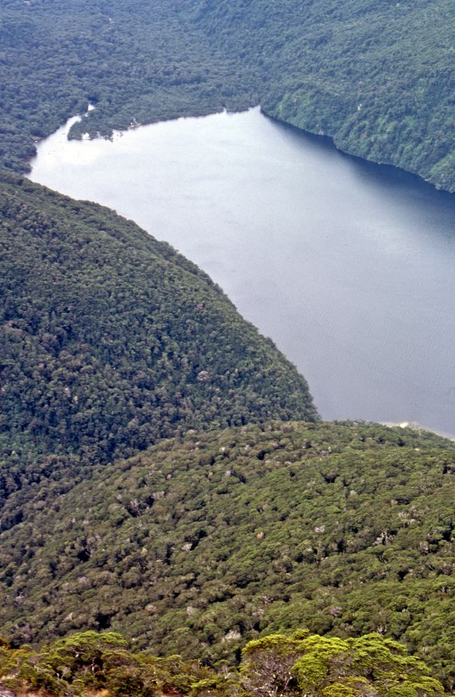
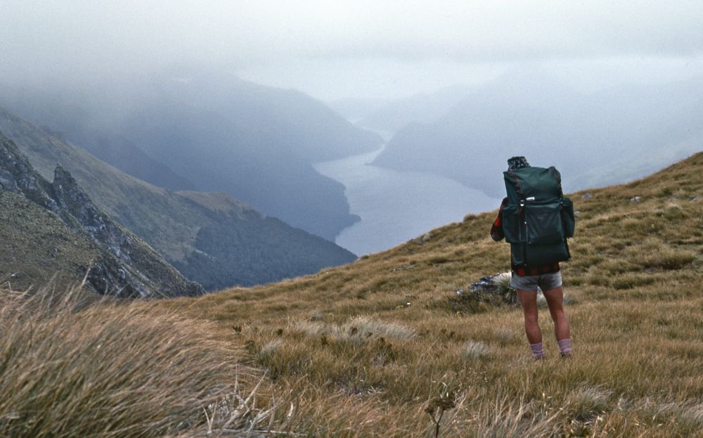
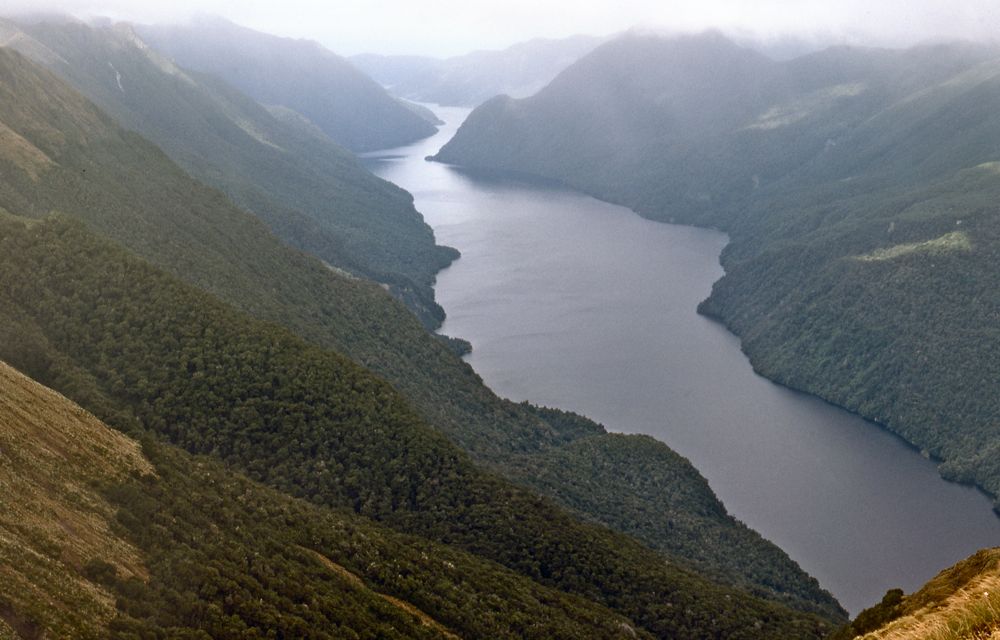
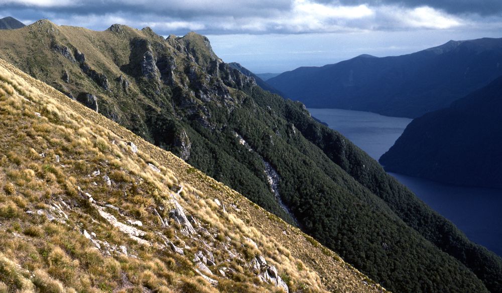
Above - Lake Hauroko
Above - Looking back up rhe Hauroko Burn
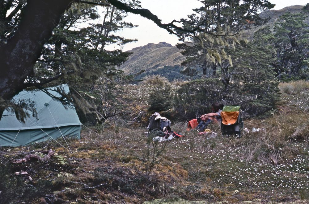
Above - Our nice sheltered campsite near End Peak - just above the
bushline from our spur up from near the Hay River

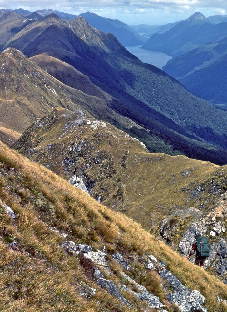
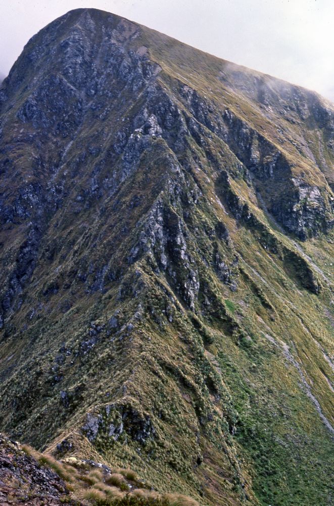
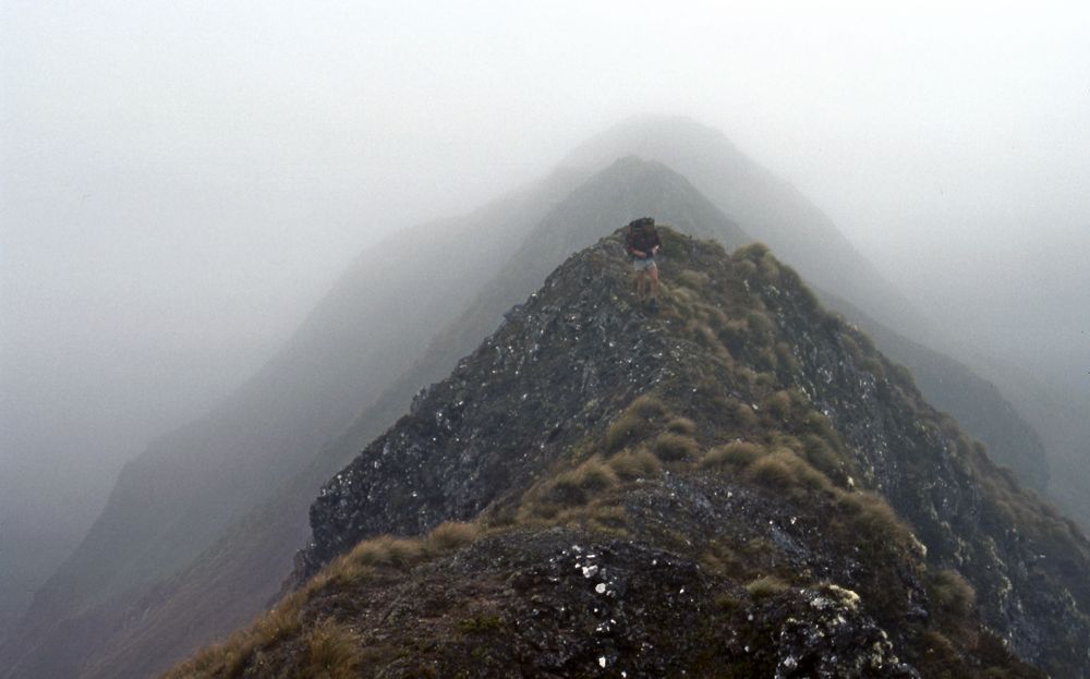
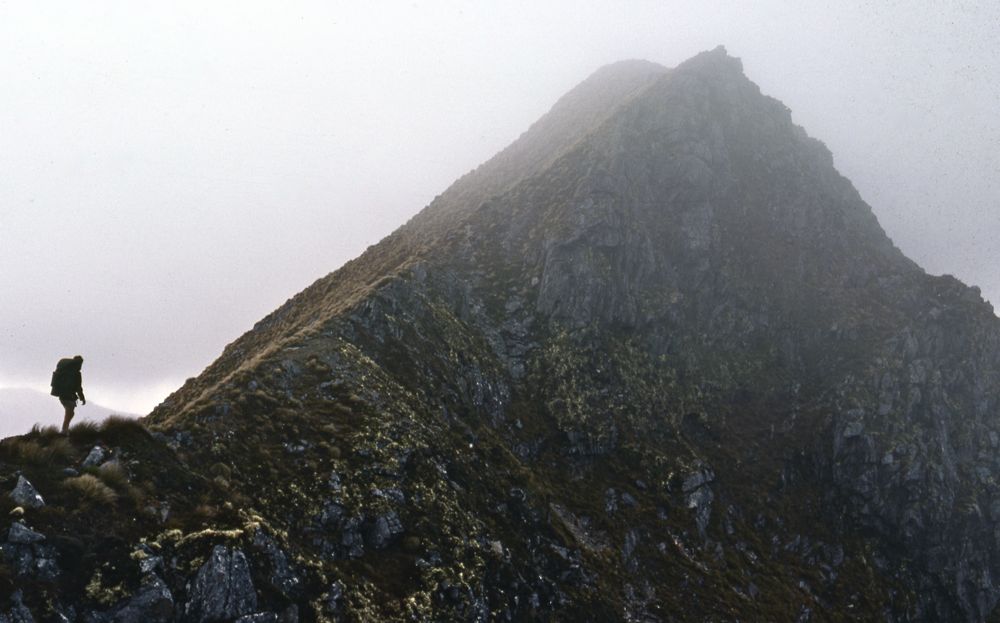
Above - Gordon climbing up to End Peak. Lake Hauroko far below. On this
day it started out reasonably fine so we set off southwards along the
crest of the range. We stopped at about lunchtime when we were hit by
bad weather and set up camp.
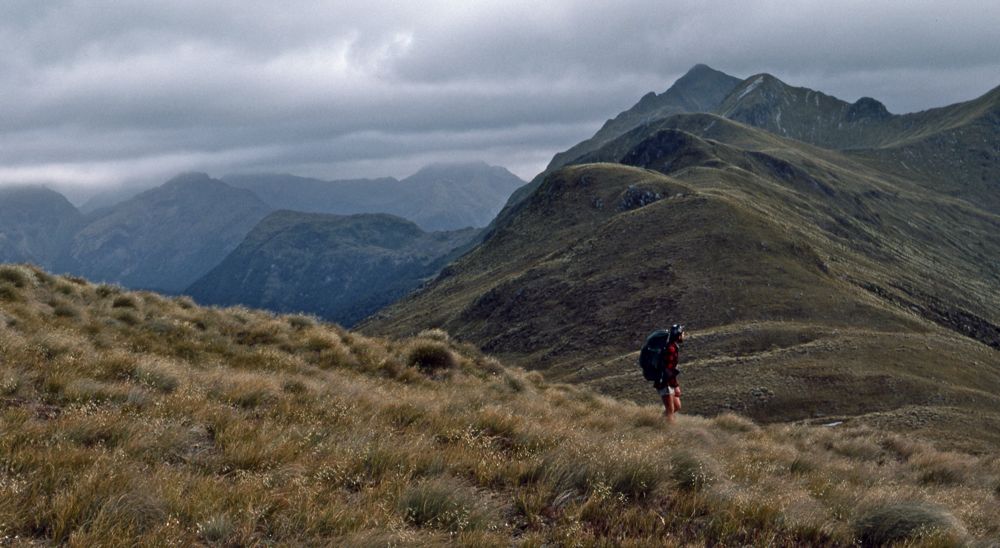
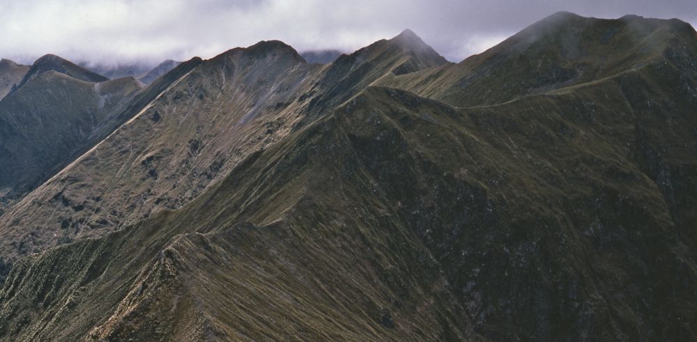
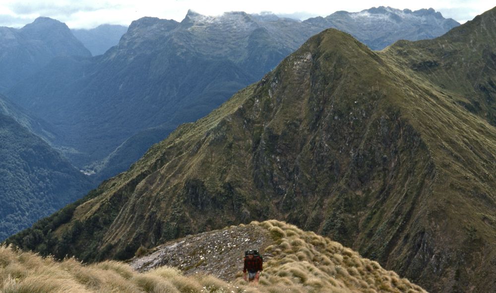
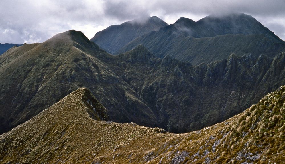
Above - On the range - looking south on the open tops and our first
views of Lake Poteriteri

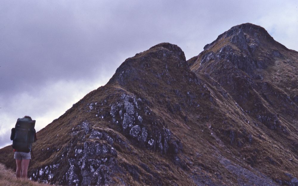
Above - Dave
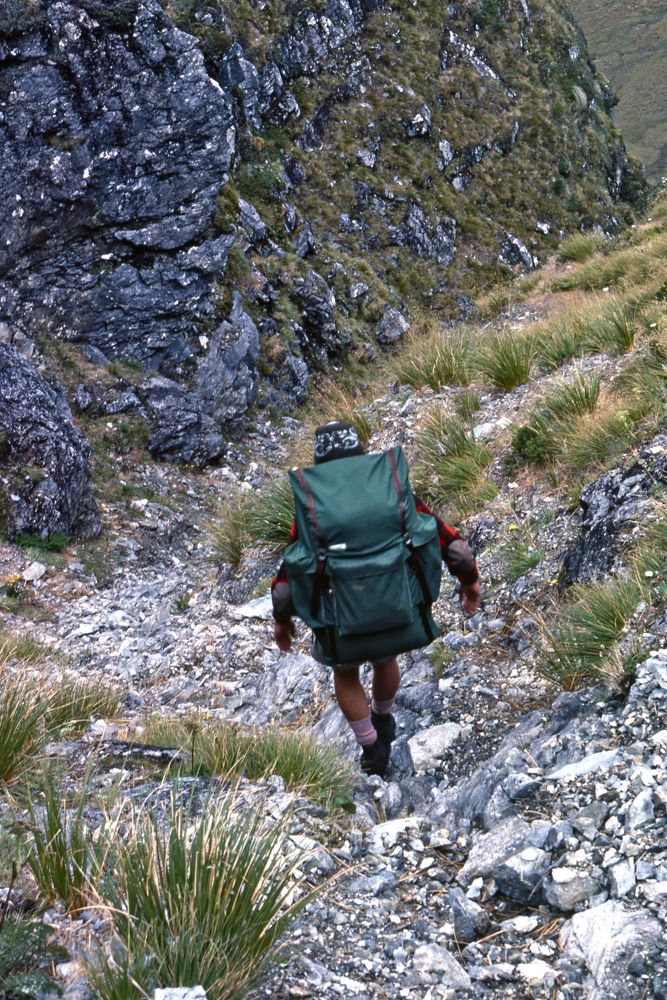
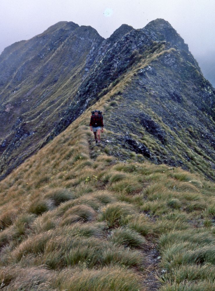
Above - Traversing. Old dear trails made the going fast and easy

Above - Kia!
Above - Open tops
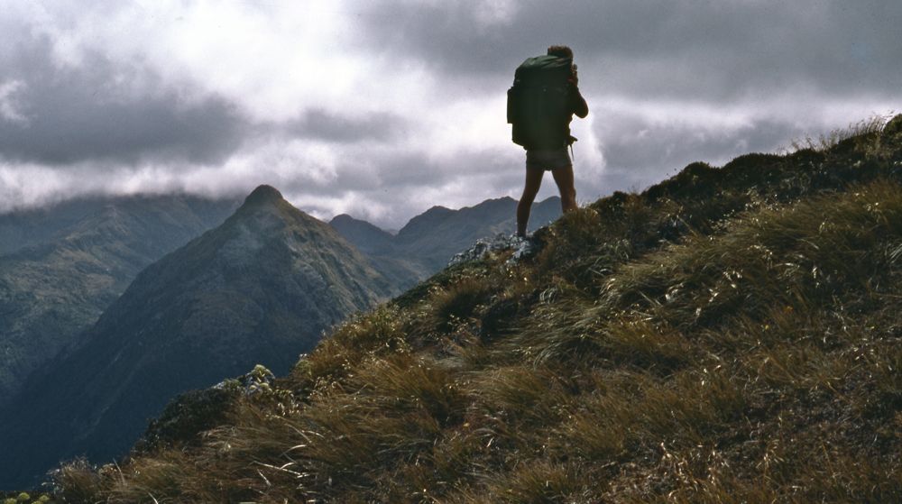
Above - Gordon on the tops
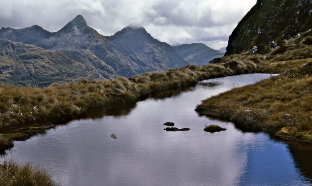
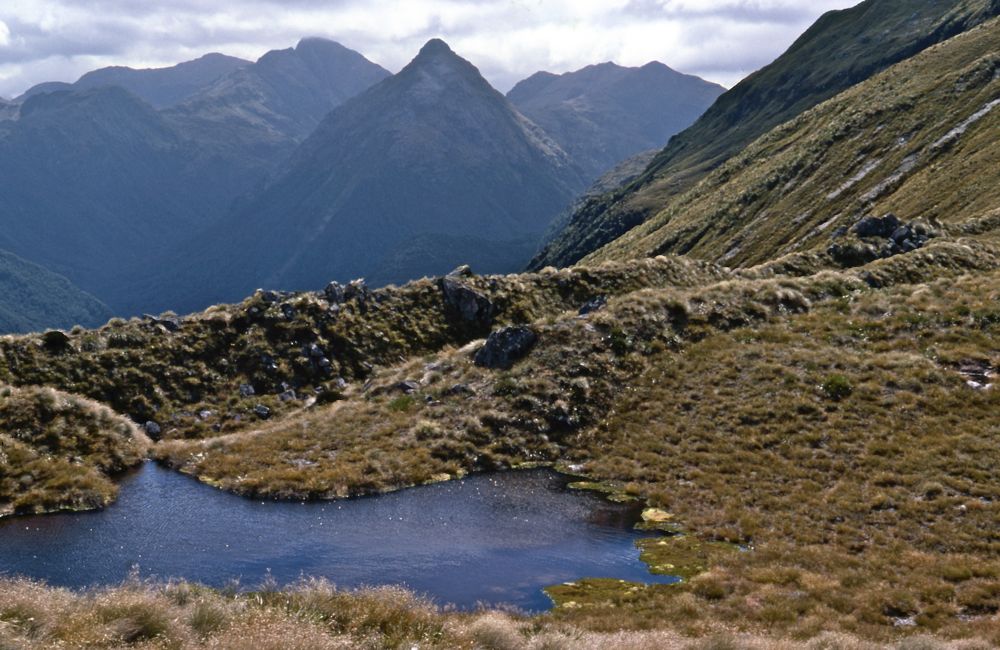
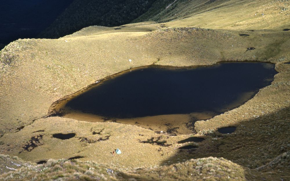
Above - small tarn
Above - Gordon stops for a drink
Above - View from the tops

Above - easy open going

Above - Gordon traversing the tops
Above - Lake Poteriteri
Above - Gordon descending a gut
Above - our second campsite on the range
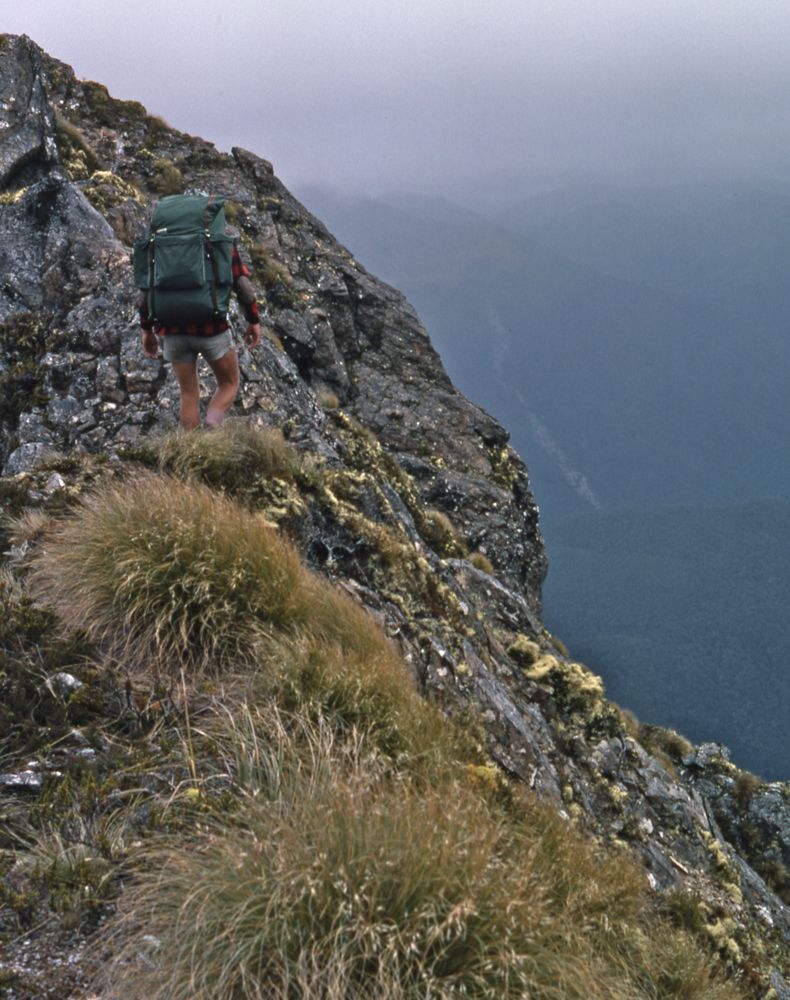
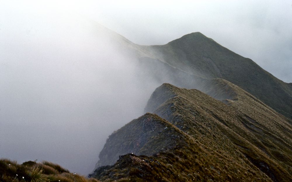
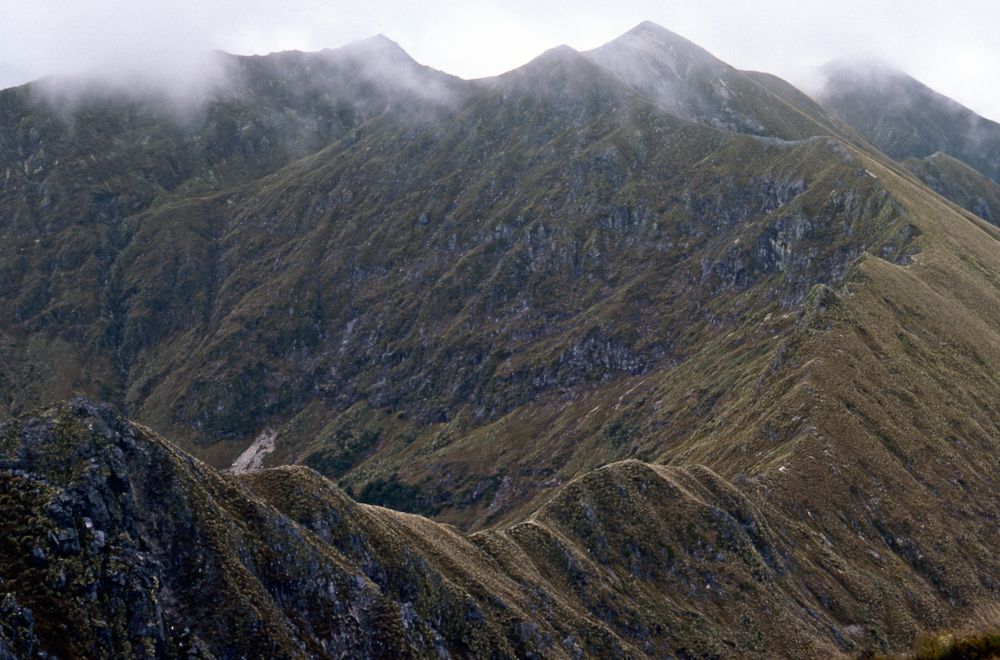
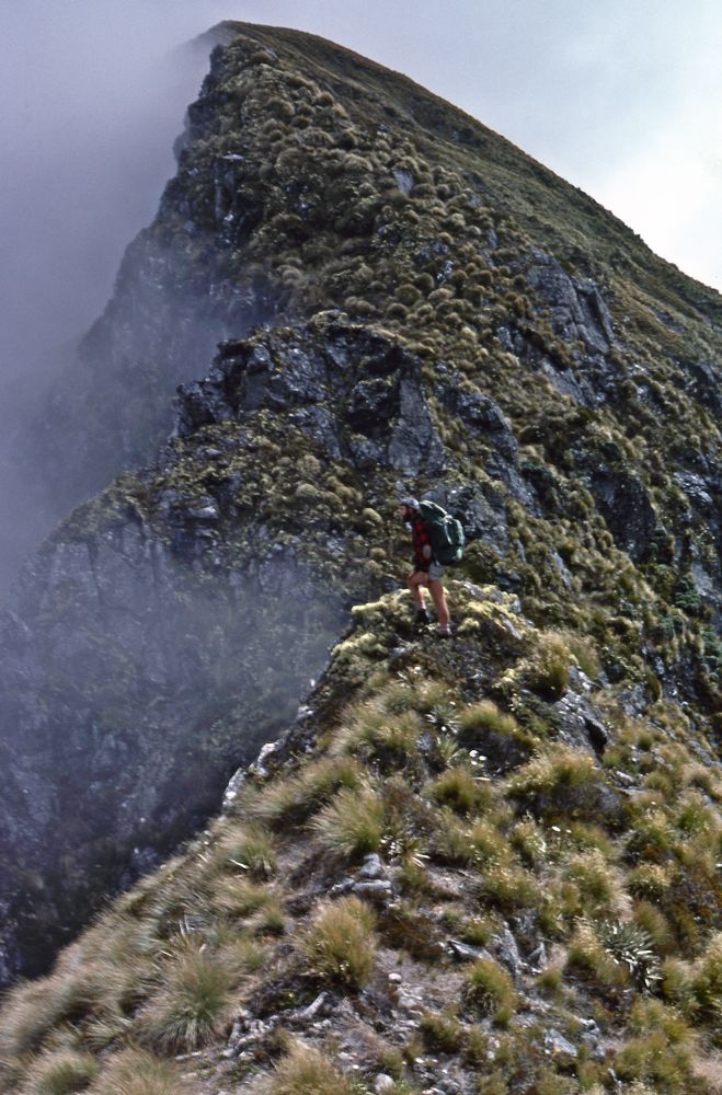
Above - Looking back. This steep section was the only place on the
entire range that we had to deviate from the skyline. Bad weather was
coming - so we camped in the lee of the range.
Above - another view looking back

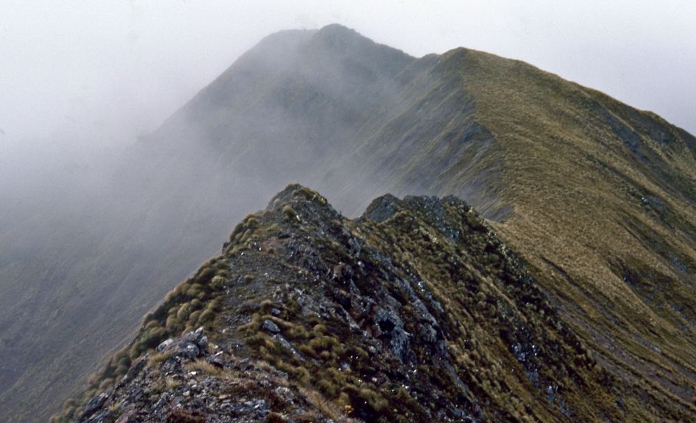
Above - Gordon on the tops
Above - Lake Poteriteri
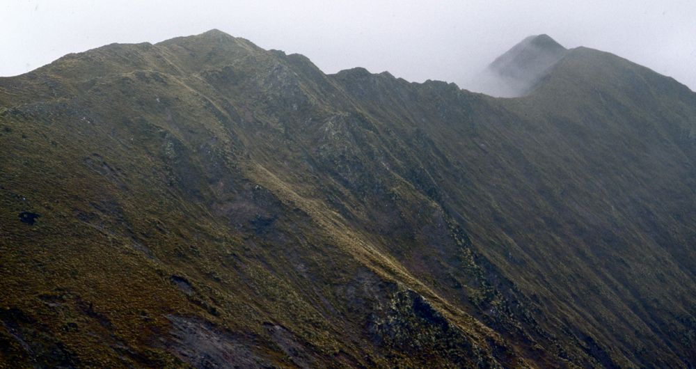
Above - the tops
Above - More open tops
Above Grdon walking in mist on the tops
Above - Gordon on the tops

Above - Lake Hauroko
Above - Looking ahead

Above - Gordon pointing to something
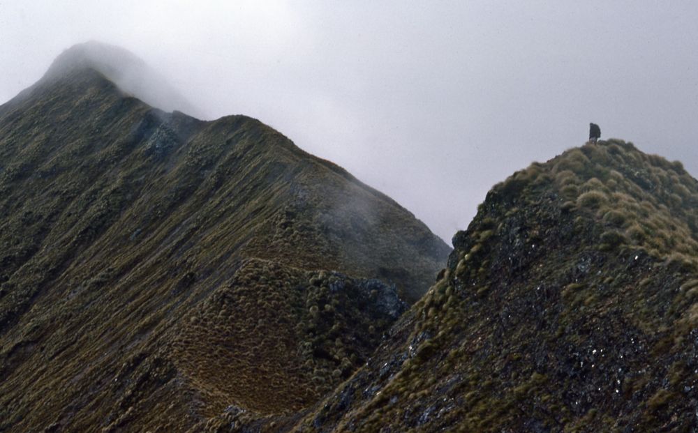
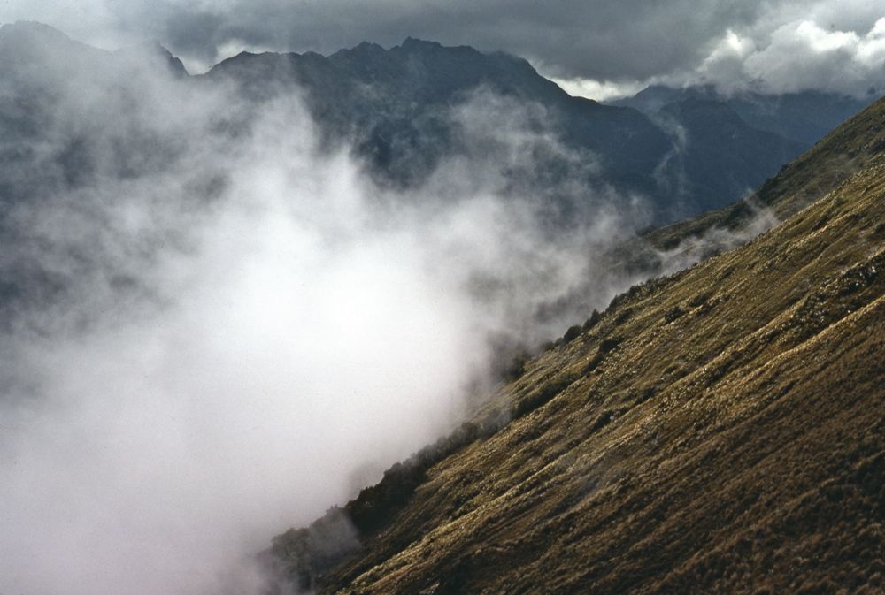
Above - More mist and open going

Above - Kea
Above - The mist lifts a little
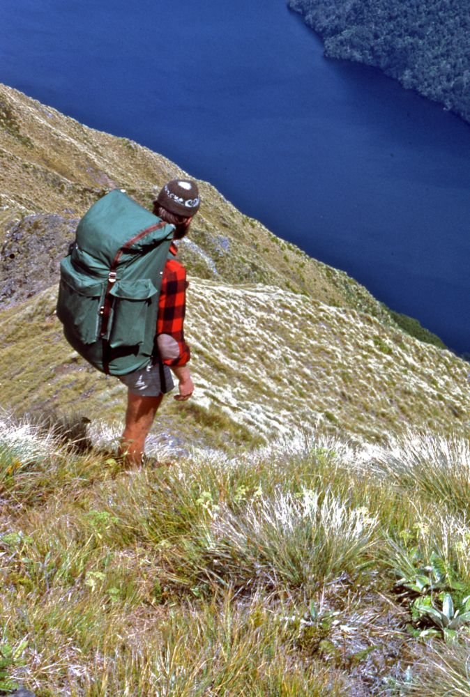
Above - Looking down to Lake Poteriteri
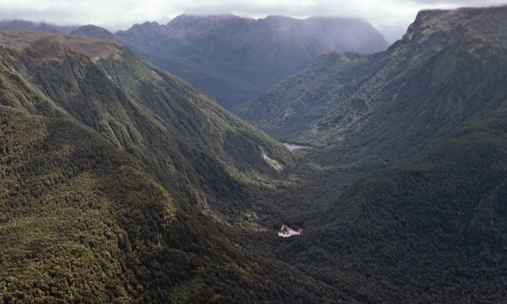
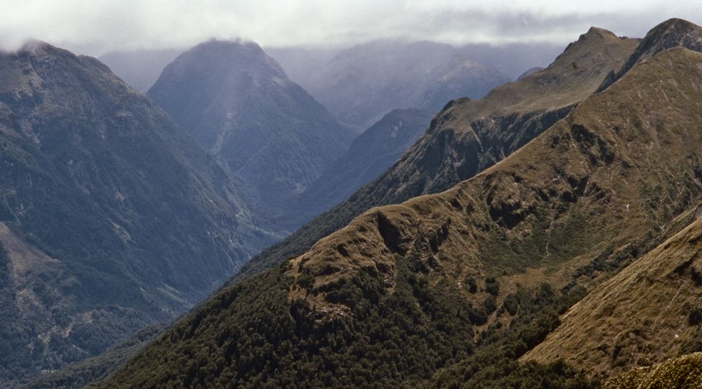
Above - a nearby valley - looking to Lake Kakapo and the Cameron
Mountains
Above - Looking to the nearby mountains
Above - Climbing out of a deep saddle. The Cameron Mountains behind.
Above - Lake Hauroko
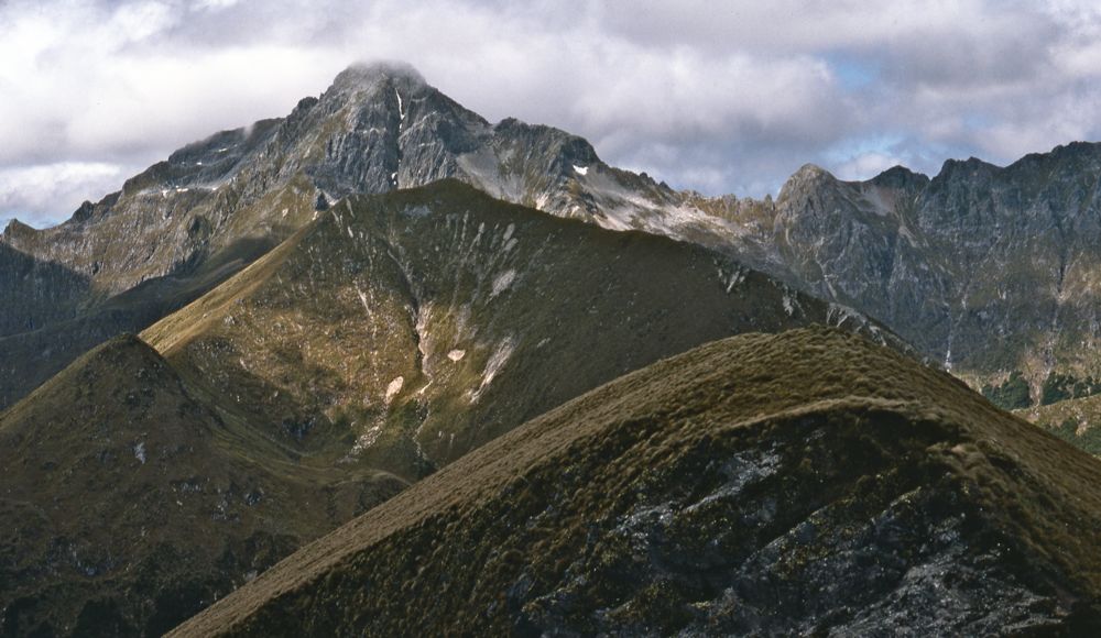
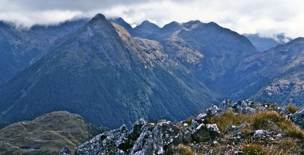
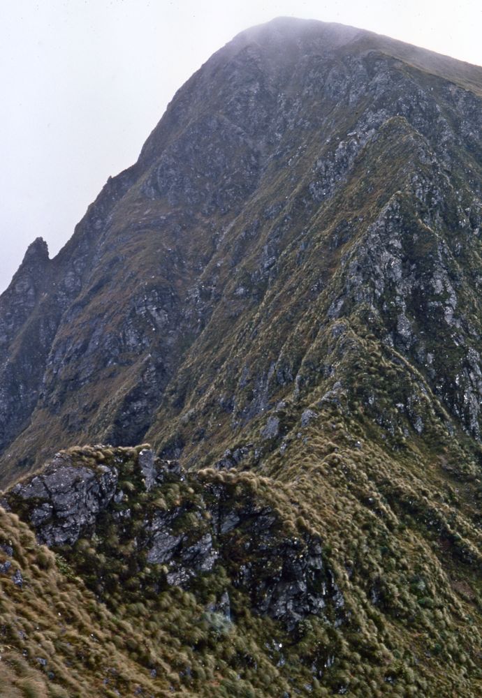
Above - Caroline Peak
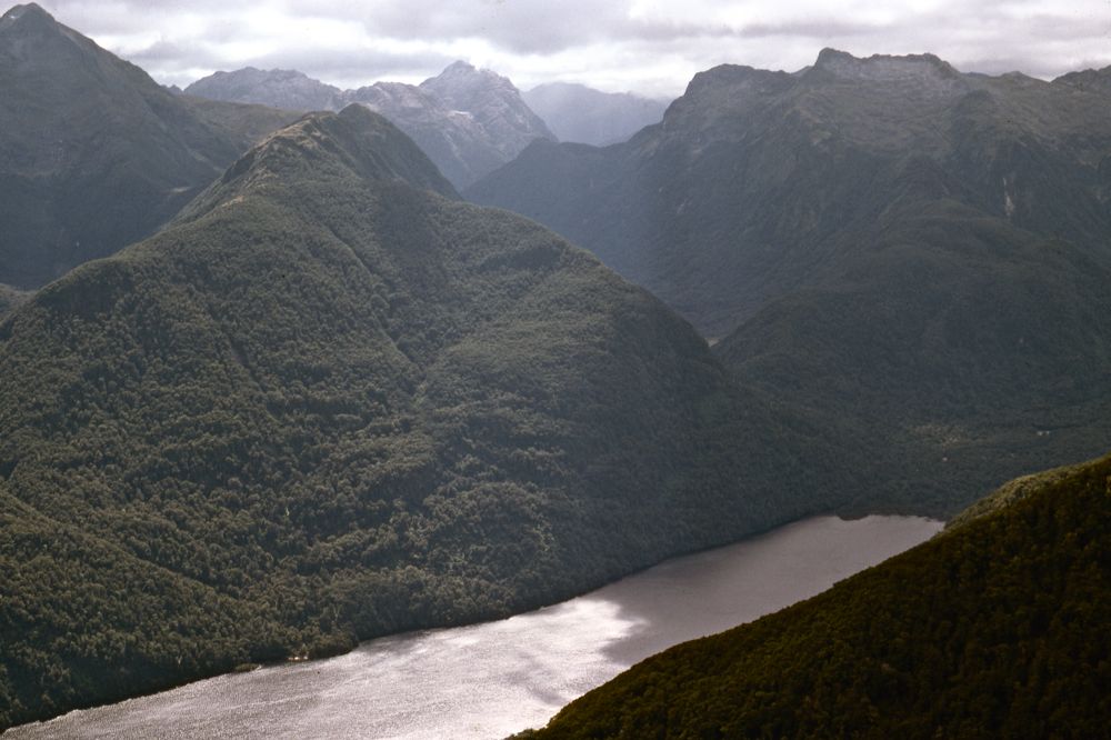
Above - Lake Poteriteri and the Cameron Mountains. Lake Kakapo lies in
the valley in the middle of the photo.
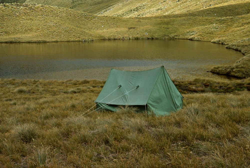
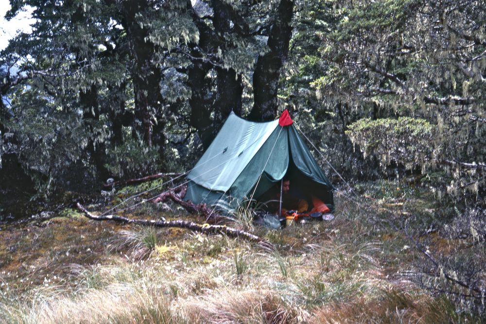
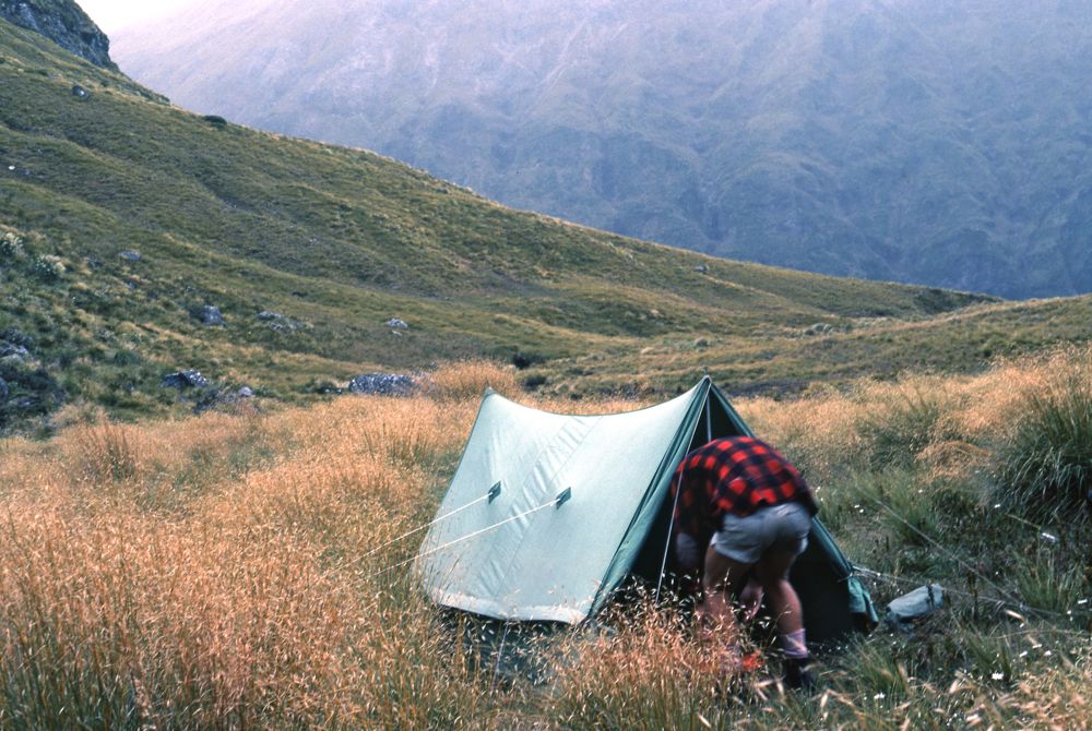
Above - our third campsite on the range
Above - Rare sun hits our campsite near this nice tarn on the lee of
the range


Above - A storm approaches from the Cameron Mountains
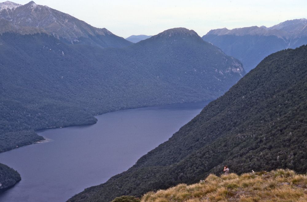
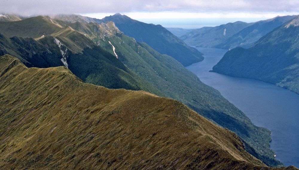
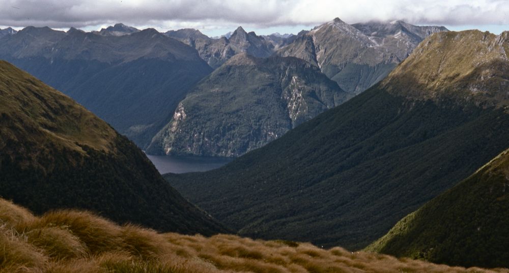
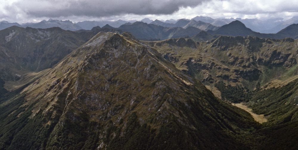
Above - Princess Mountains and Lake Poteriteri

Above - Lake Poteriteri
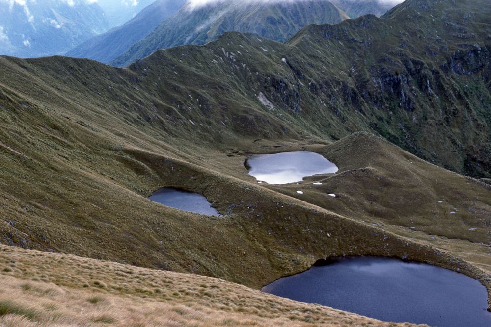
Above - The next day looking back (north). Our campsite was near the
most distant of these three lakes.
Above - Traversing. More open tops and more mist
Above - Cloud
Above - On the tops

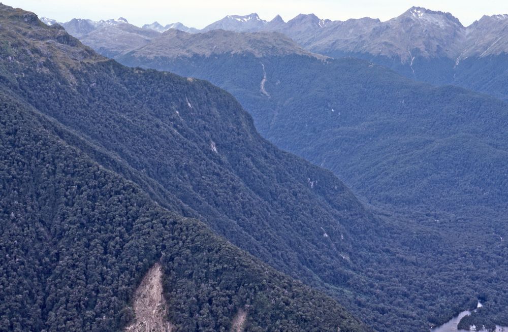
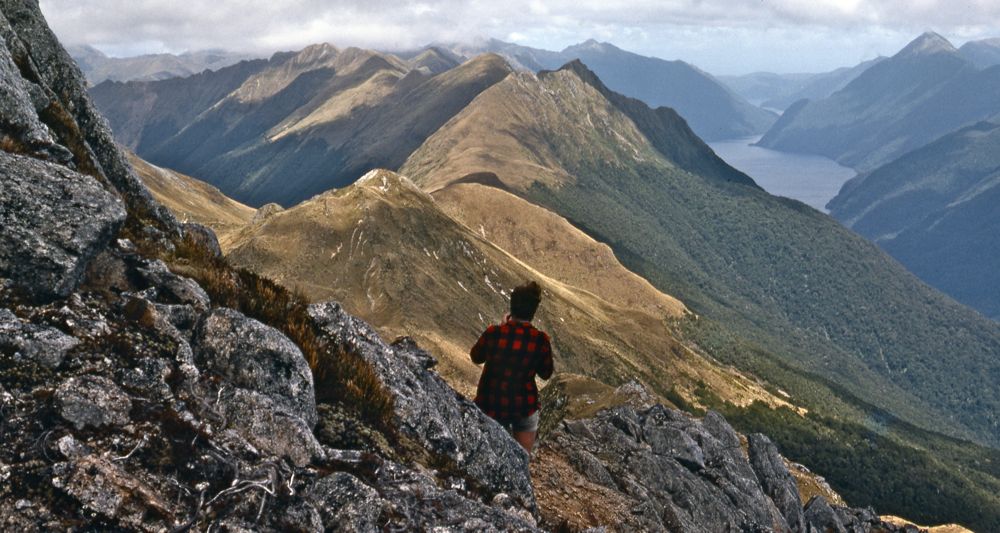
Above - View north from near Helena Peak looking back on the range -
most of the country we had just traversed. Fantastic!

We camped in a sheltered basin just east of Helena Peak. After a cold
night we awoke to find snow had fallen.
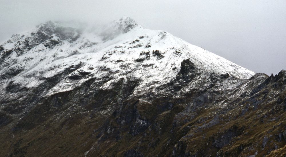
Above - Looking back to Helena Peak. We descened down as easy spur to
the Rata Burn and then went through rainforest to the outlet of Lake
Hauroko. There we found a deep fast flowing river. But - by luck there
was another walkwire nearby - so we crossed to the eastern side and
walked north along Lake Hauroko to a hut. There we met a party of
fishermen. The next morning we accepted a lift out on their boat back
to the road (and then another lift back to Invercargill).
Of the fifteen days of the trip - it rained on all except two days -
but many of the days had fine patches.
Return to menu
Return to david-noble.net