The Three Passes - West Coast to Arthurs Pass - January 1979
All images © David Noble. No image can be used for any purpose
without permission. Some photographs taken by Gordon Thompson.
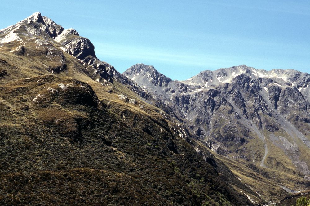
We caught a taxi out of Hokatika to a track that went up the Styx Valley
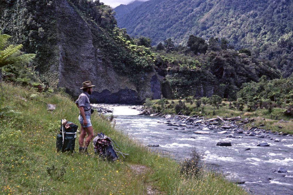
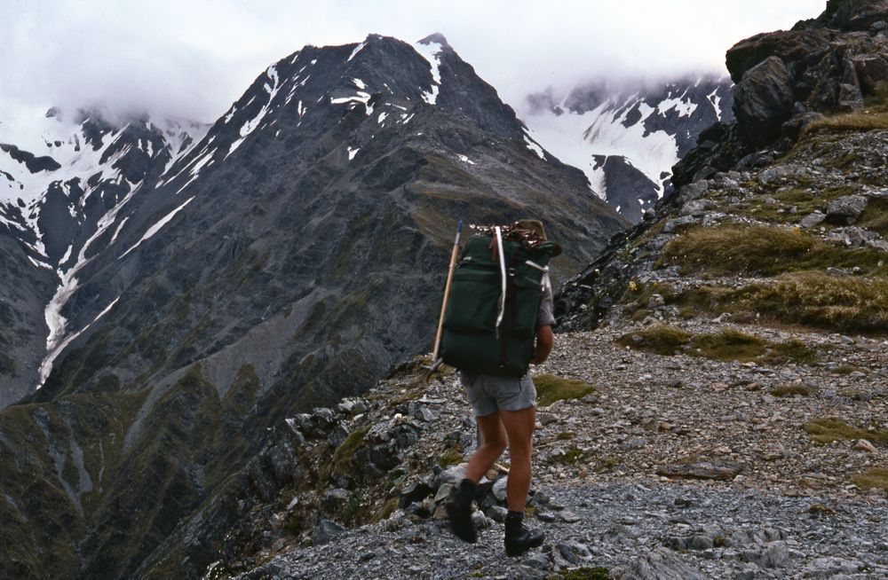
Above - Gordon near the start looking at the Styx River - wondering how
to get over the bluff in front.
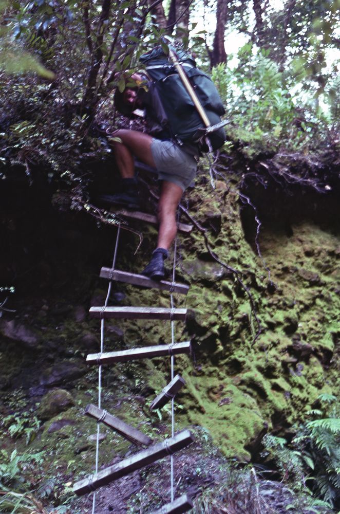
Above - We found this old and tricky ladder.

Above - We spent the first night in this hut at Grassy Flat in the
upper Styx.
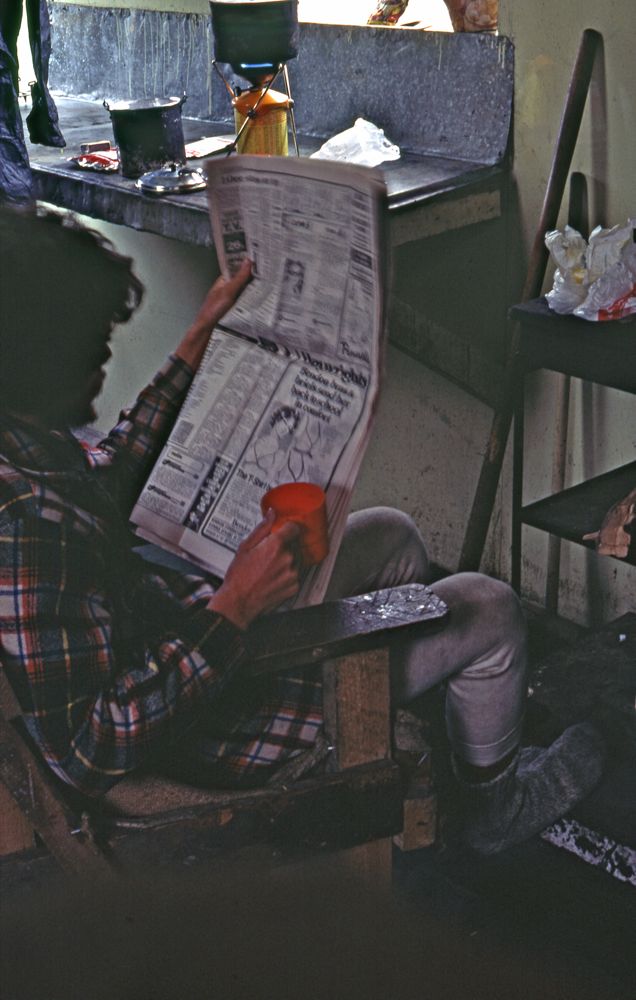
Above - Dave relaxing in the hut
Above - Next morning, in fine weather we crossed over a saddle to the
Arahura Valley
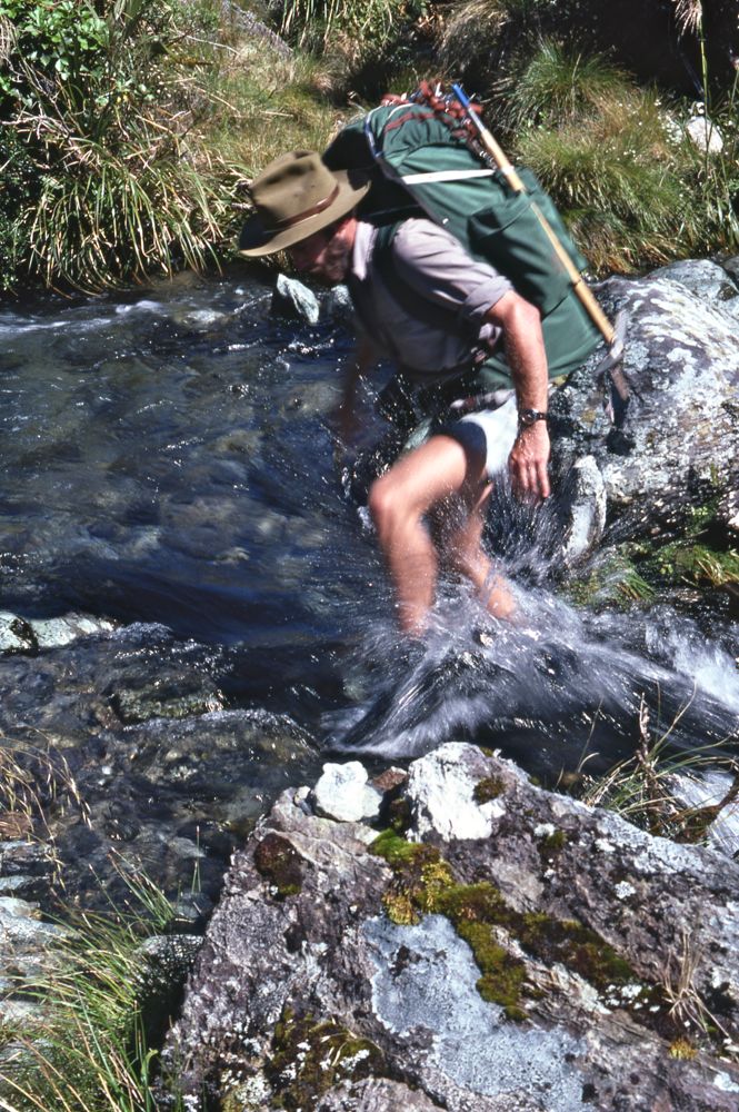
Above - Gordon crossing a small creek
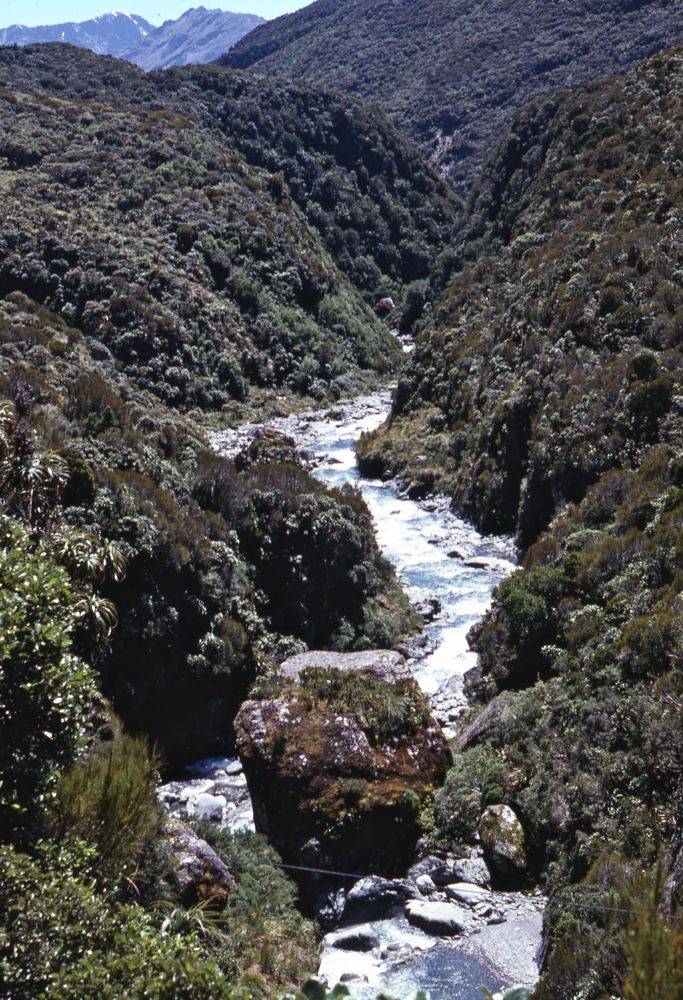
Above - The Arahura River
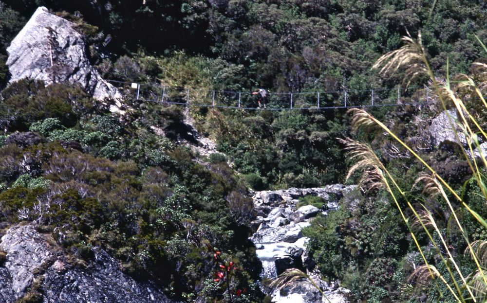
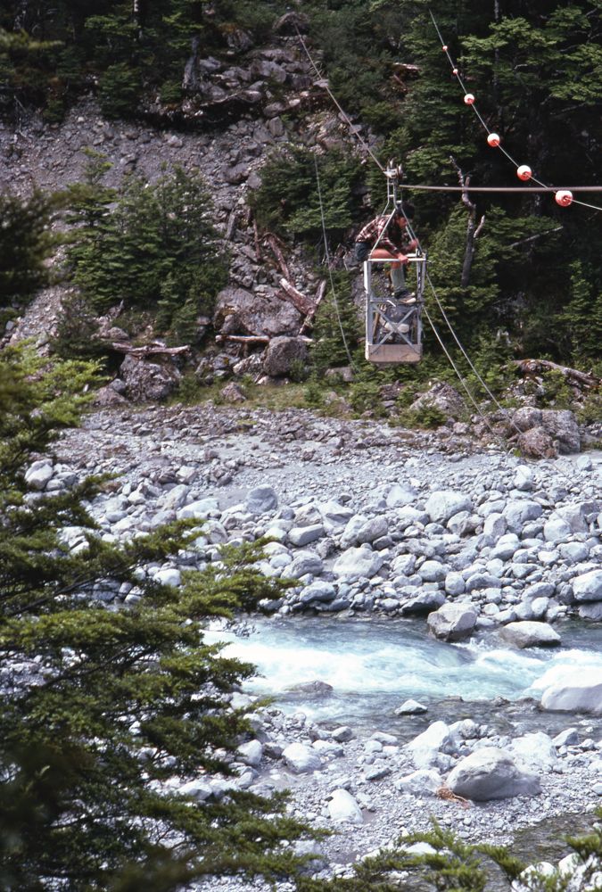
Above - Dave crossing a swingbridge near Harman Hut
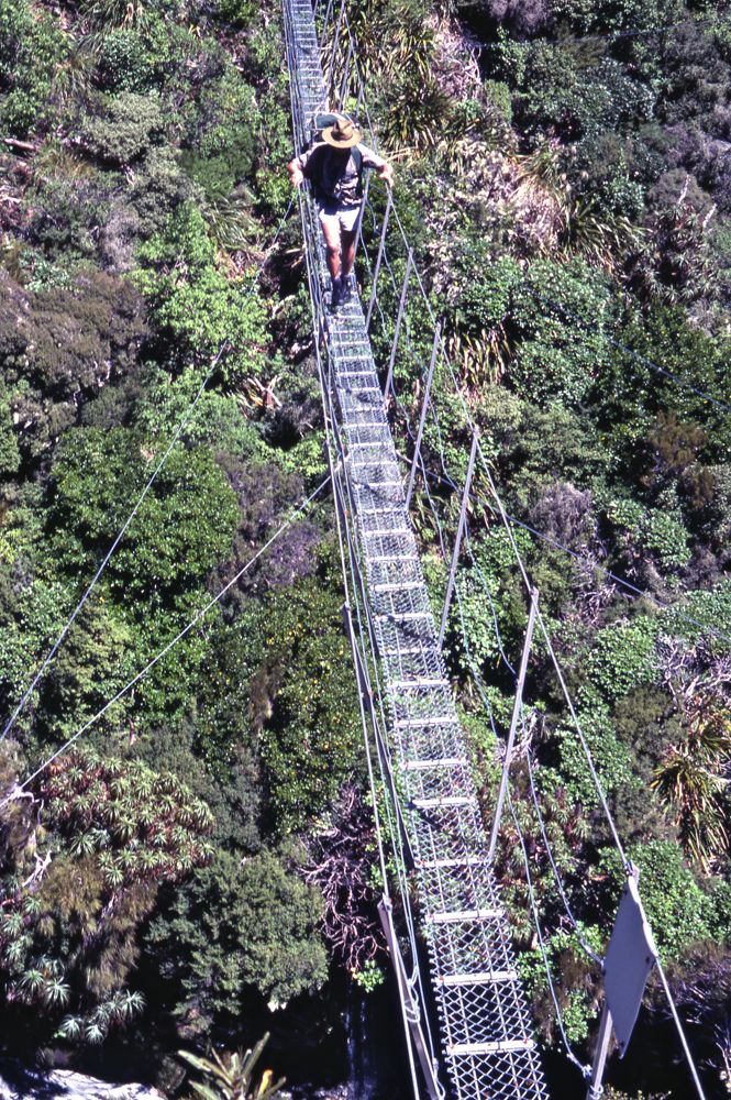
Above - Gordon on the swingbridge
Above - Looking down the Arahura Valley
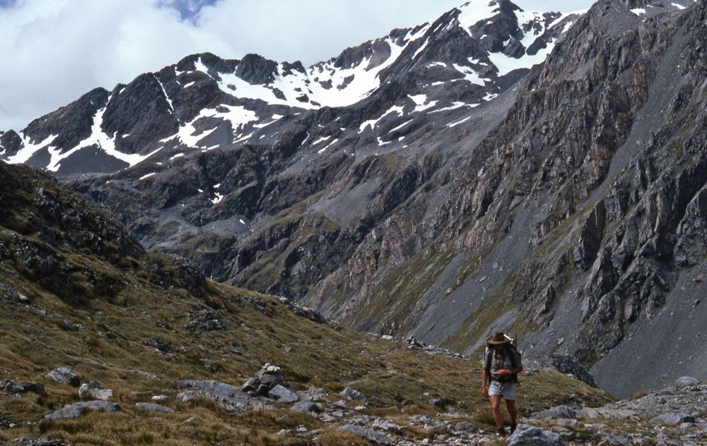
Above - Gordon climbing up to Browning Pass
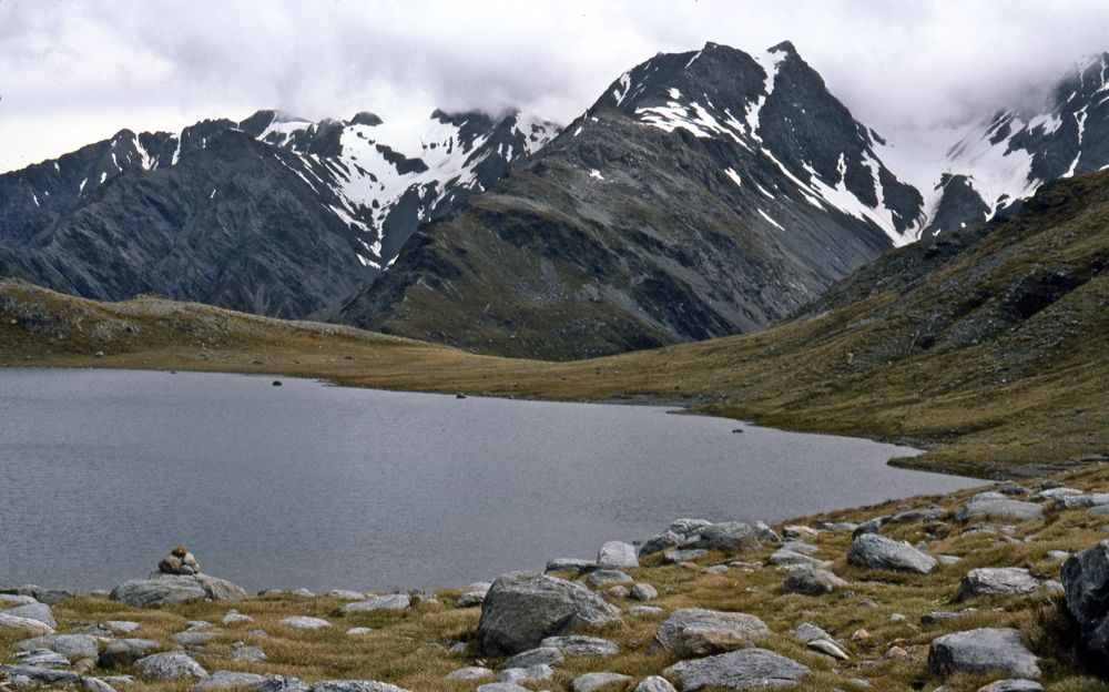
Above - Lake Browning.
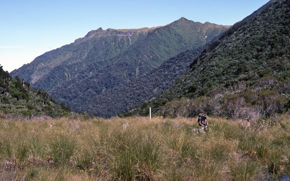
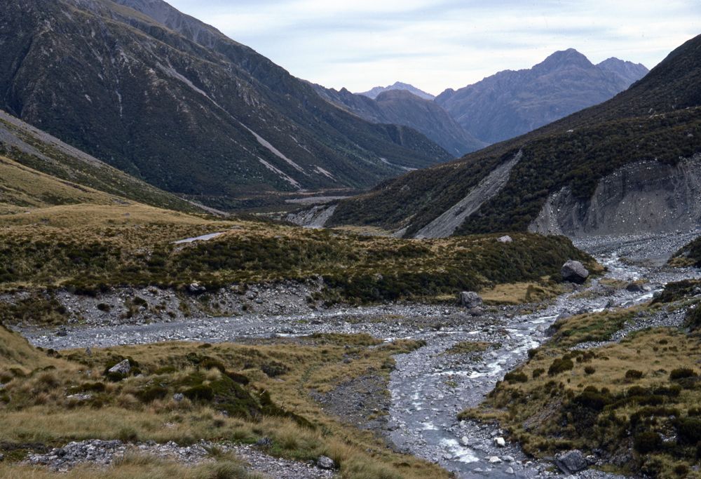
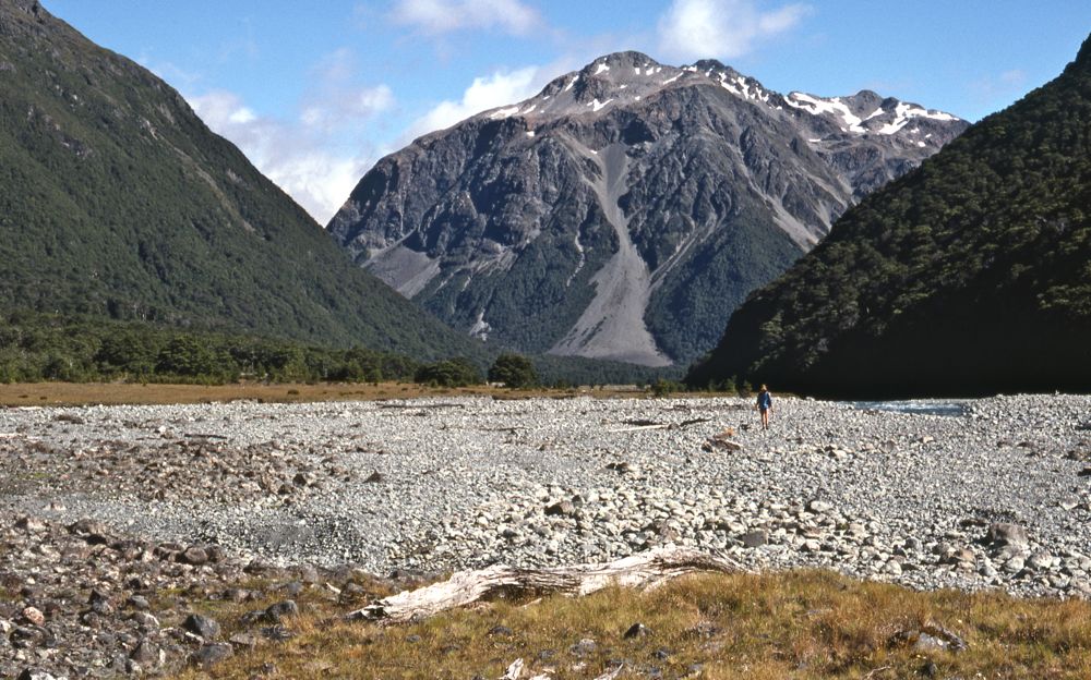
Above - Looking down from Browning Pass to the Wilberforce River. We
camped near the junction of the Cronin Stream - coming in on the left a
short way down the valley.
Above - Gordon near Browning Pass
Above - Near Park Morpeth Hut at the junction of Cronin Stream and the
Wilberforce River. We camped near the hut.
Above - Dusk
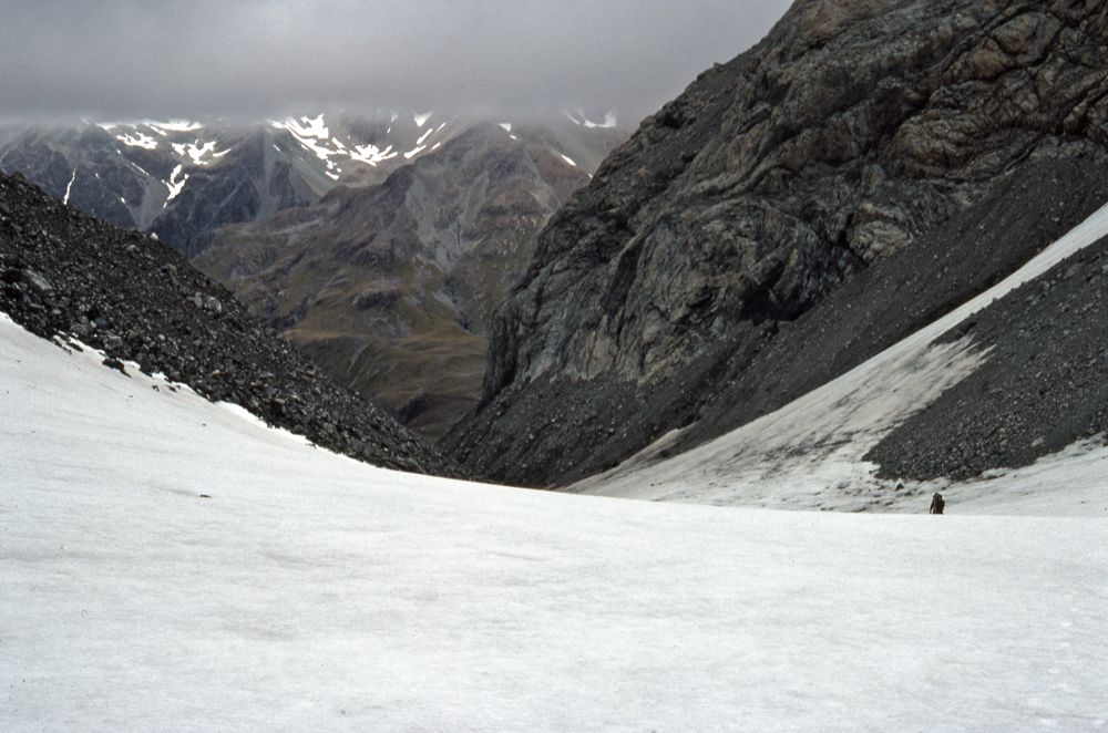
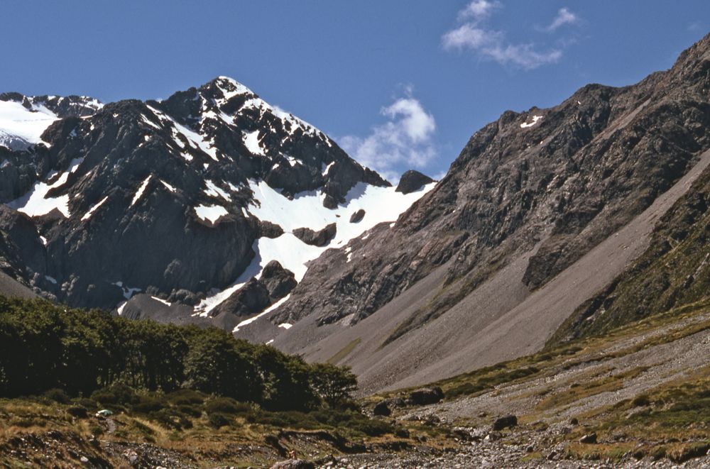
Above - Next day we walked up Cronin Stream to Whitehorn Pass
Above - Near Whitehorn Pass
Above - At Whitehorn Pass
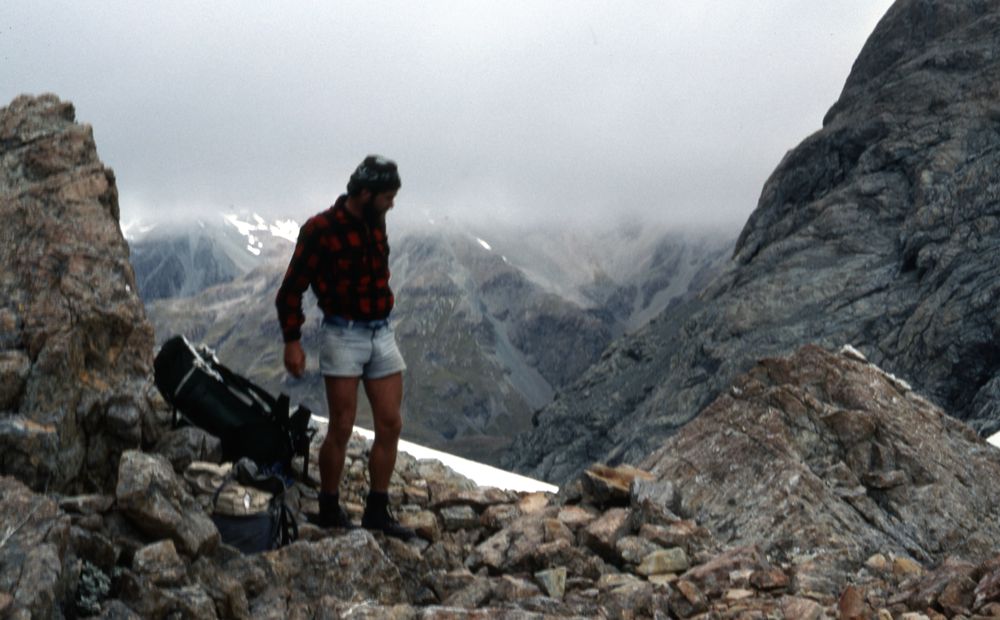
Above - Gordon at Whitehorn Pass
Above - At Whitehorn Pass
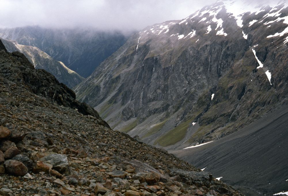
Above - At Harman Pass
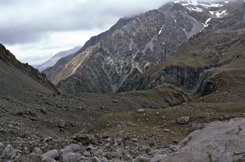
Above - Below Harman Pass
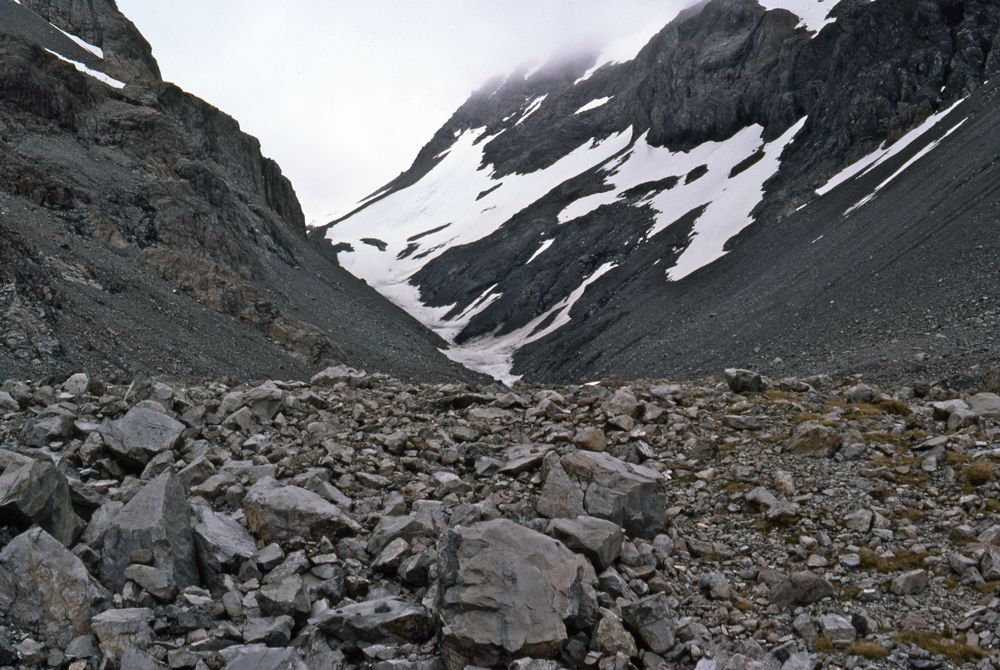
Above - Looking back up to Harman Pass
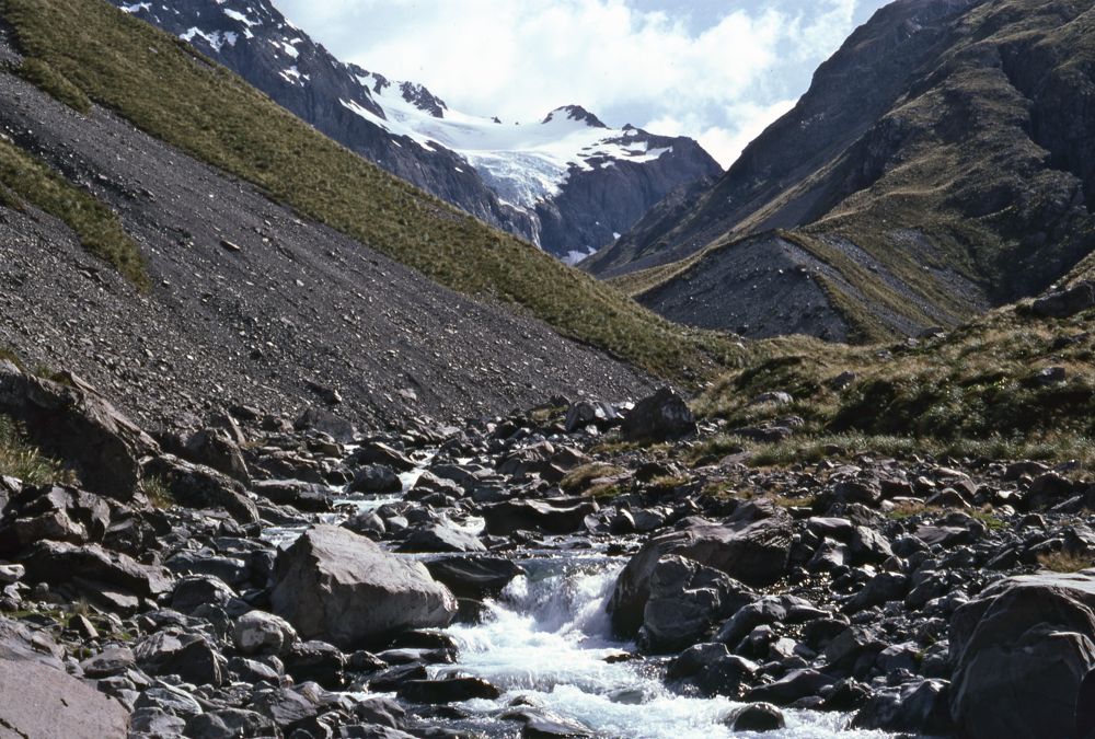
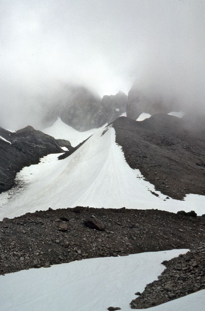
Above - Our route lay down this steep stream
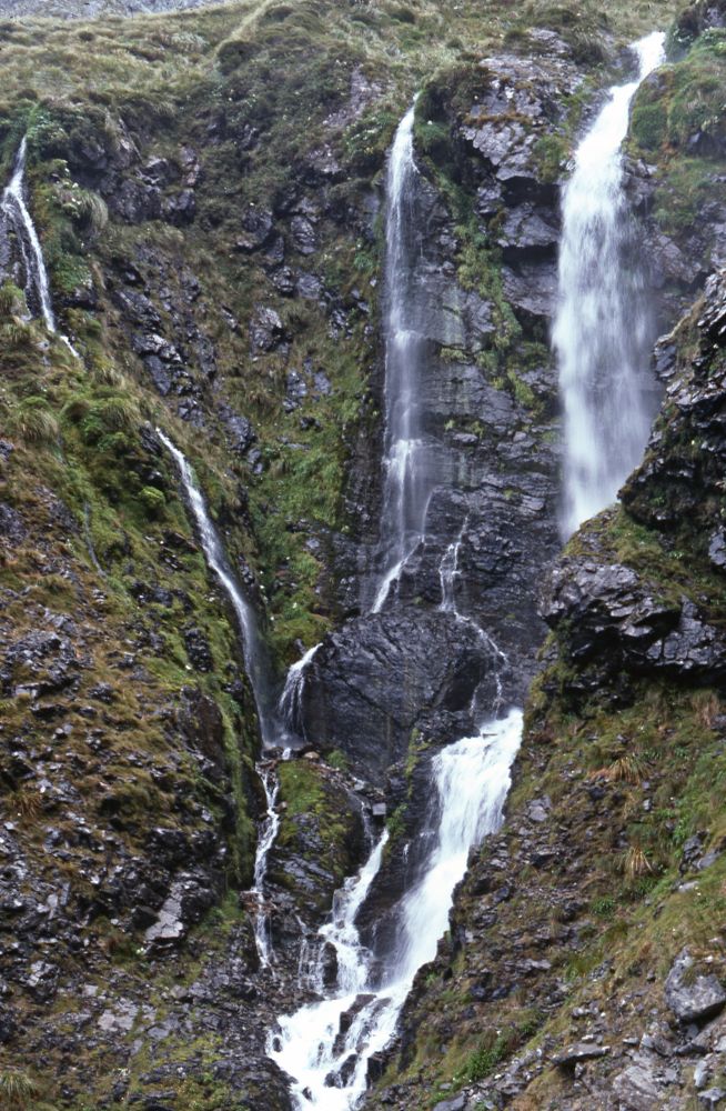
Above - We skirted these nice waterfalls
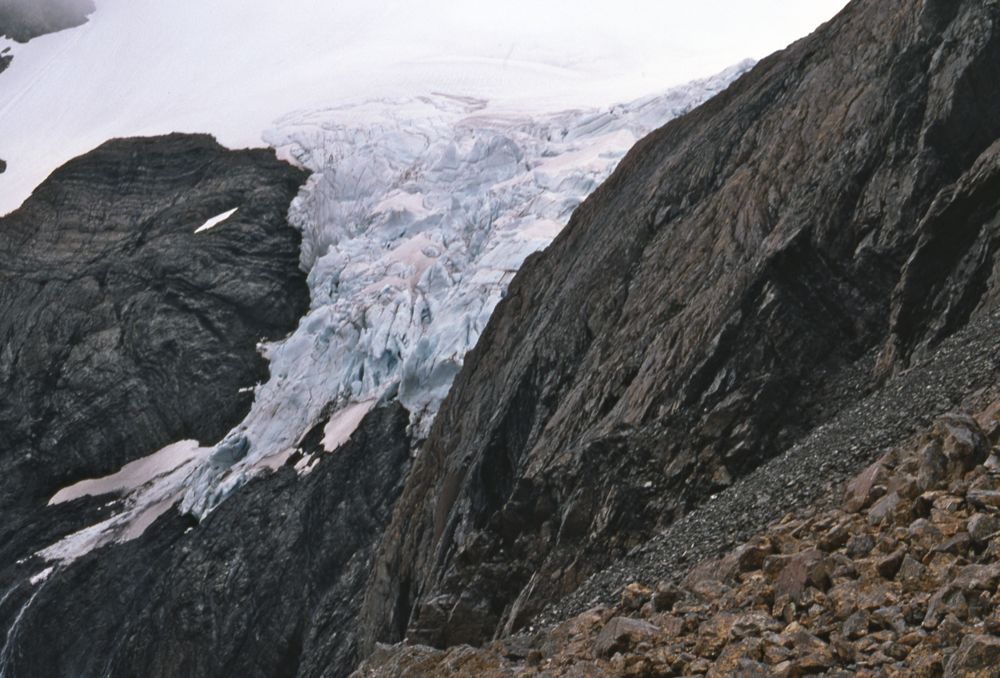
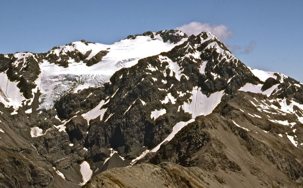
Above - Near the bottom - Looking up the White River to Mt Murchison
Above - Dave crossing the White River
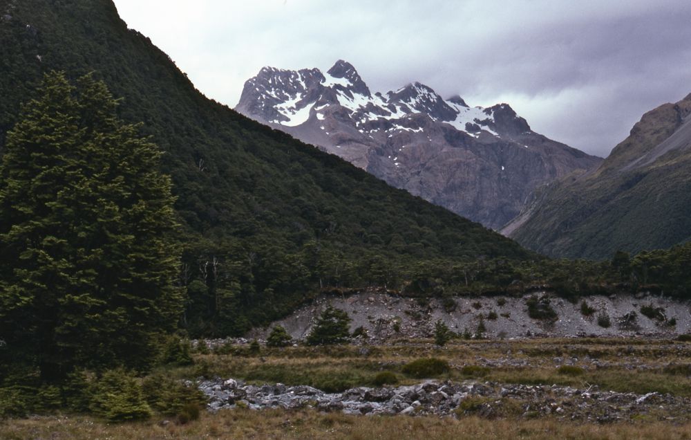
Above - Mt Murchison
We stayed in the spacious Carrington Hut that night
Above - Walking down the Waimakariri River the next day.
Later we turned off from the main valley and went up the Crow River to
Crow Hut.
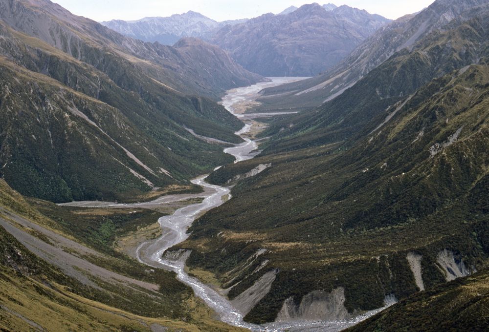
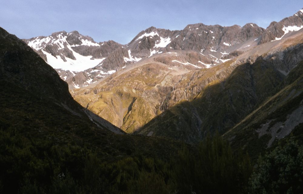
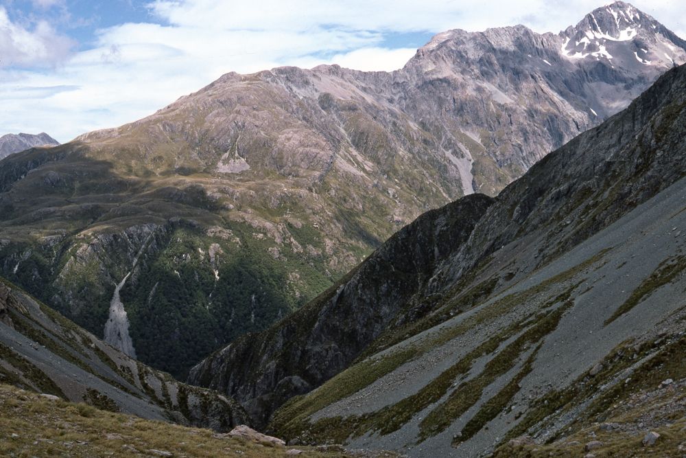
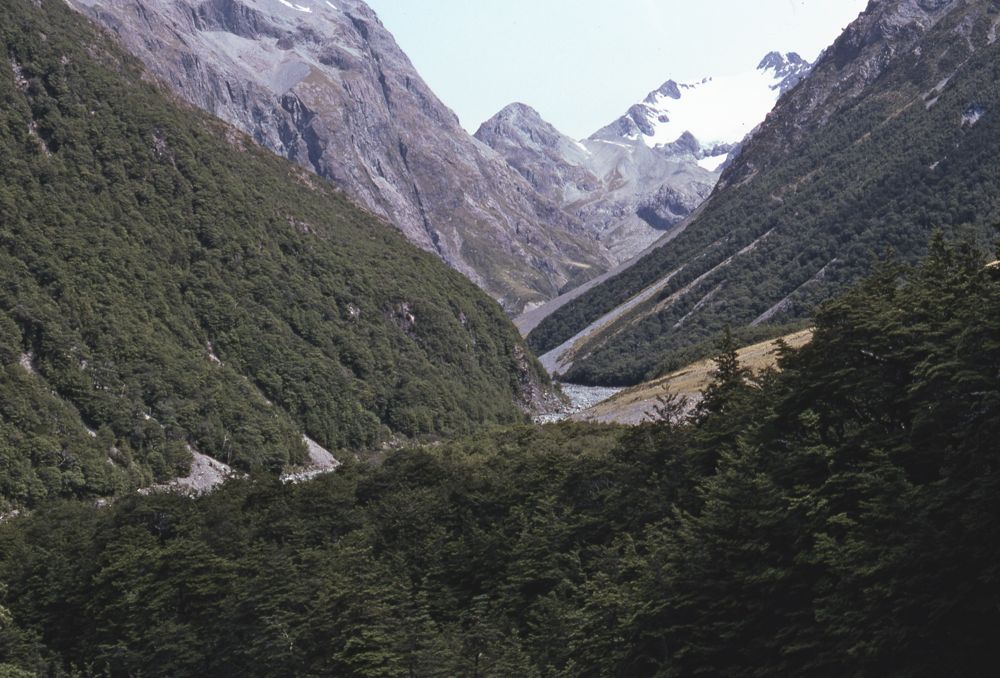
Above - Looking up the Crow River to Mt Rolleston. The next day we
clilbed up screes on the right to near Avalanche Peak
Above - Mt Rolleston from near Avalanche Peak
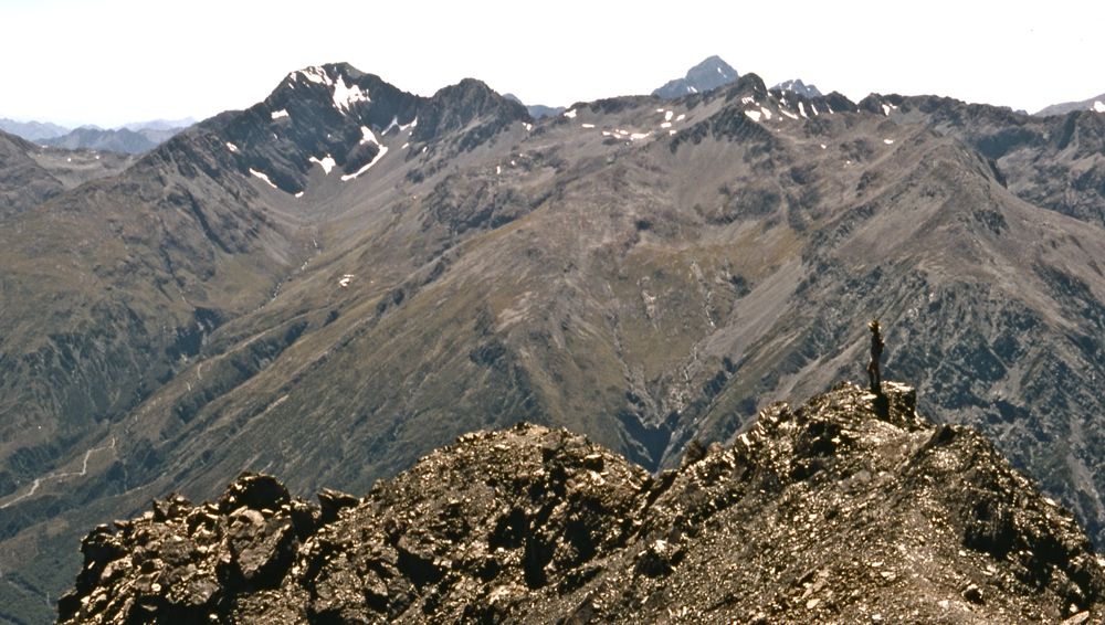
Above - Gordon on the range near Avalanche Peak
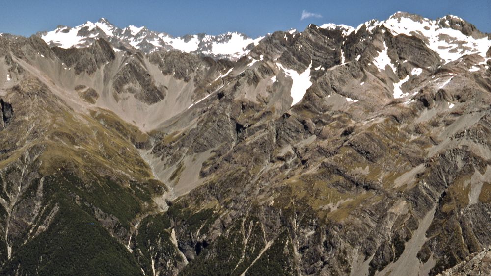
Above - nearby peaks
From there is was a short, easy descent to Arthurs Pass
Return to Menu
Return to david-noble.net