Frankland Range Traverse
January 2002
All images © David Noble. They cannot be used for any purpose
without permission.
This was a 6 day walk along the Wilmot and Frankland Ranges in South
West Tasmania. I was joined on this walk by Rob Hynes. This was my
second traverse of these ranges. My first was with Adrian Teague in
December 1979.

Above - Rob with his father, who drove us out to the start of the walk
at the Serpentine Dam
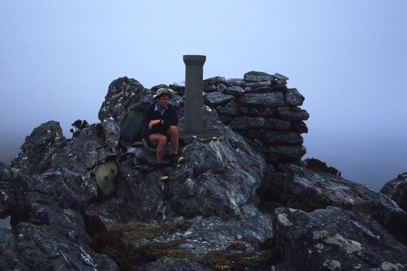
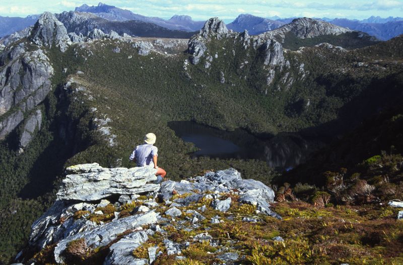
Above - Rob on Mt Sprent

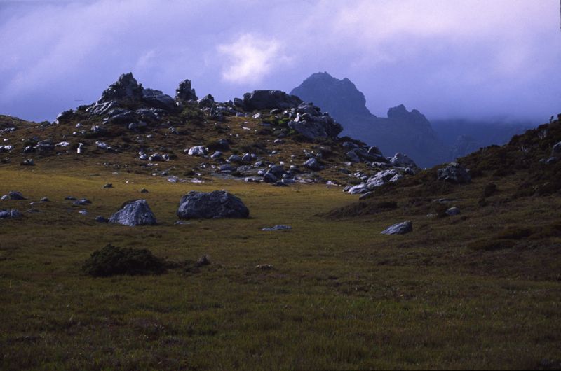
Above - Looking along the Wilmot Range

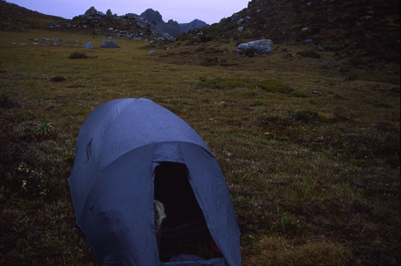
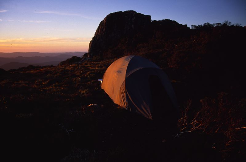
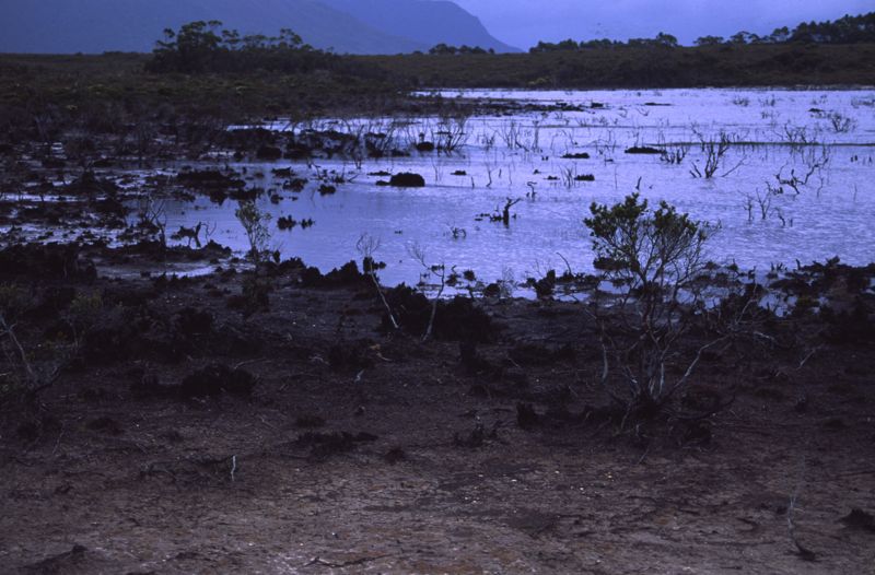
Above - Our first campsite

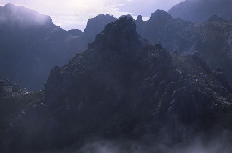
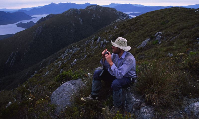
Above - Dusk
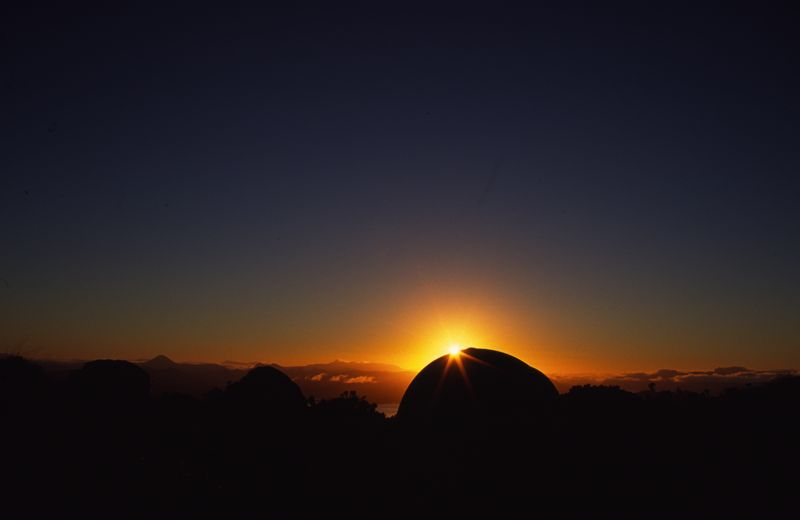
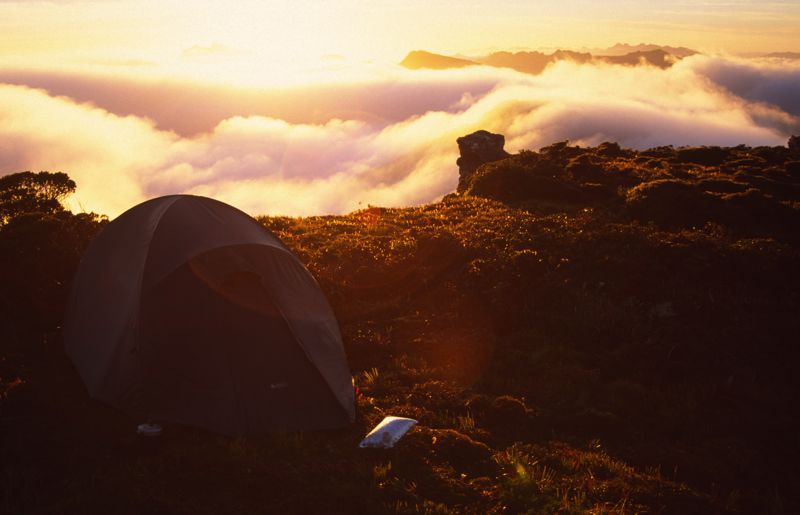
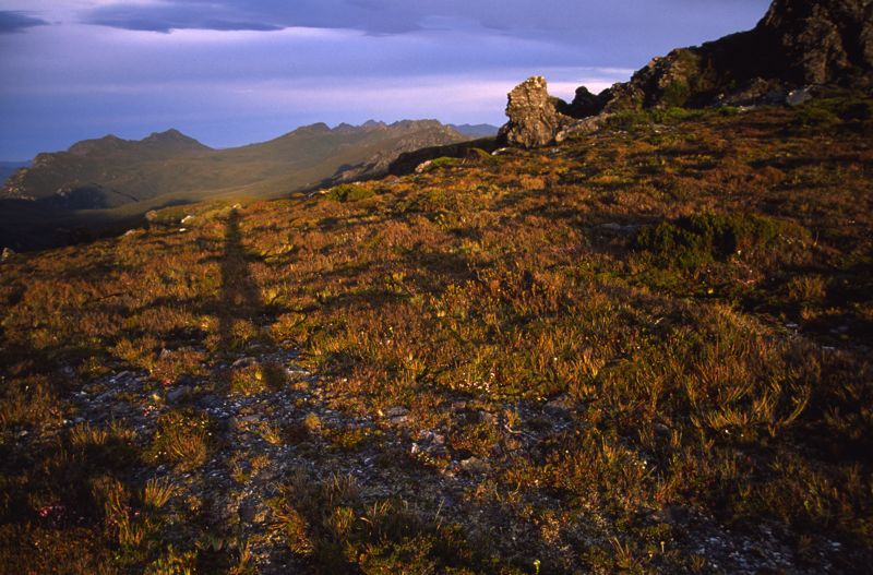
Above - Sunset

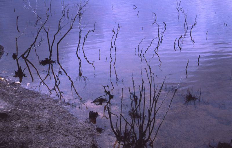
Above - Dawn

Above - Yabbie
Above - We camped at the southern end of the Wilmot Range for the
second and third nights
Above - We were stormbound for a day

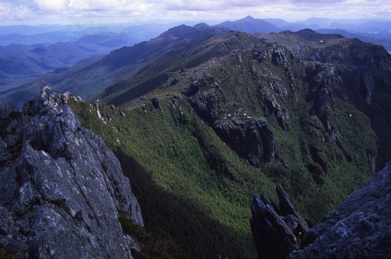
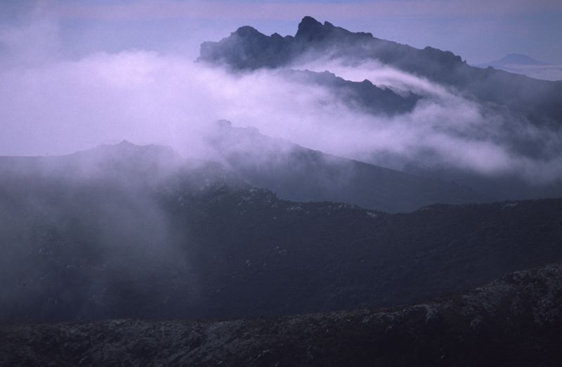
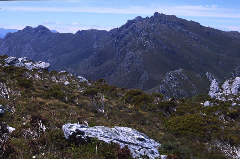
Above - Looking back along the Wilmot Range
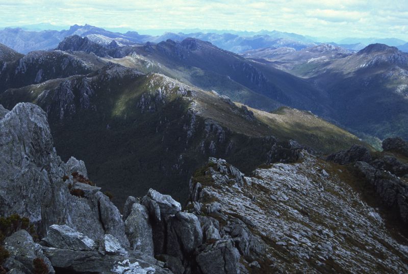
Above - Looking along the Frankland Range (and the Western Arthurs in
the far distance on the left)
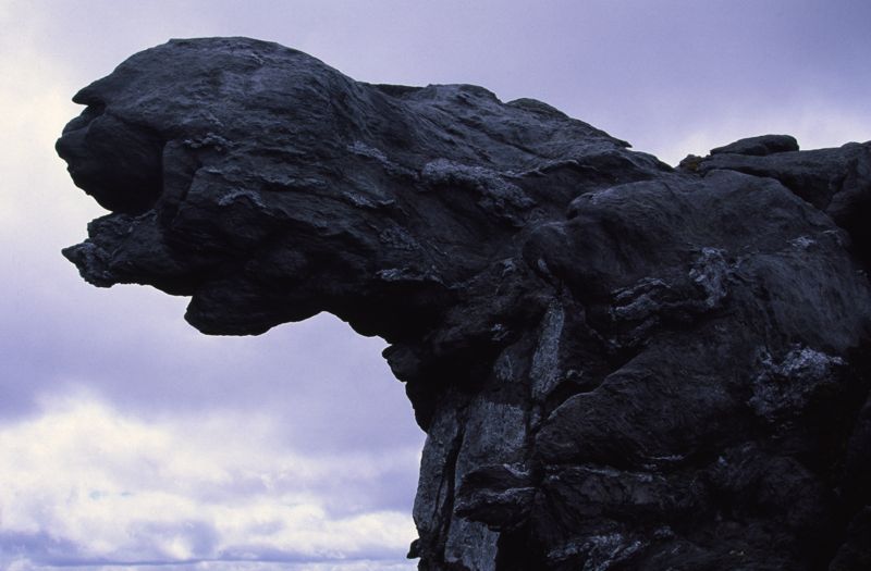
Above - Rock formation in the Wilmot/Frankland saddle

Above - Rob on the rock, Coronation Peak behind
Above - Looking to Double Peak

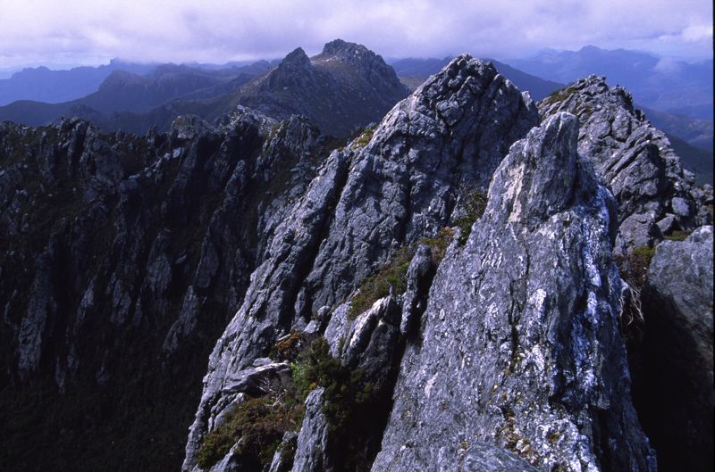
Above - rock towers
Above - The Moat

Above - high camp on the range

Above - dawn


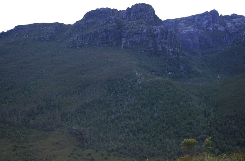
Above - Approaching Frankland and Secheron Peaks

Above - high on Frankland Peak - looking back along the range

Above - Dawn - from near Frankland Peak
Above - Our route down wasa through this band of scrub
Above - Rob on the Giblin Range

Above - Looking down the the Lake Pedder Impoundment
Above - "Fake Pedder"

Links
Scott Morrison's
Traverse in 2006
Return to david-noble.net