Traverse of Mt Hopetoun and Arthur Range (SW Tasmania)
16 - 27 January 2001
Page 2 - Eastern Arthur Range Double Traverse
All images copyright David Noble. They cannot be used for any
purpose without permission.
Day 6
- We climbed Luckmans Lead and traversed the Eastern Arthur
Range to camp at Hanging Lake. On the way the weather cleared
perfectly. After pitching our tents on the platforms at the lake we
quickly climbed Federation Peak and left a colourful entry in the
summit book.
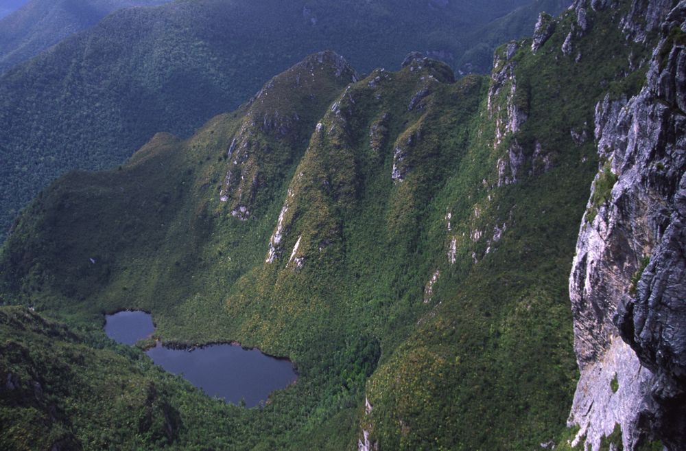
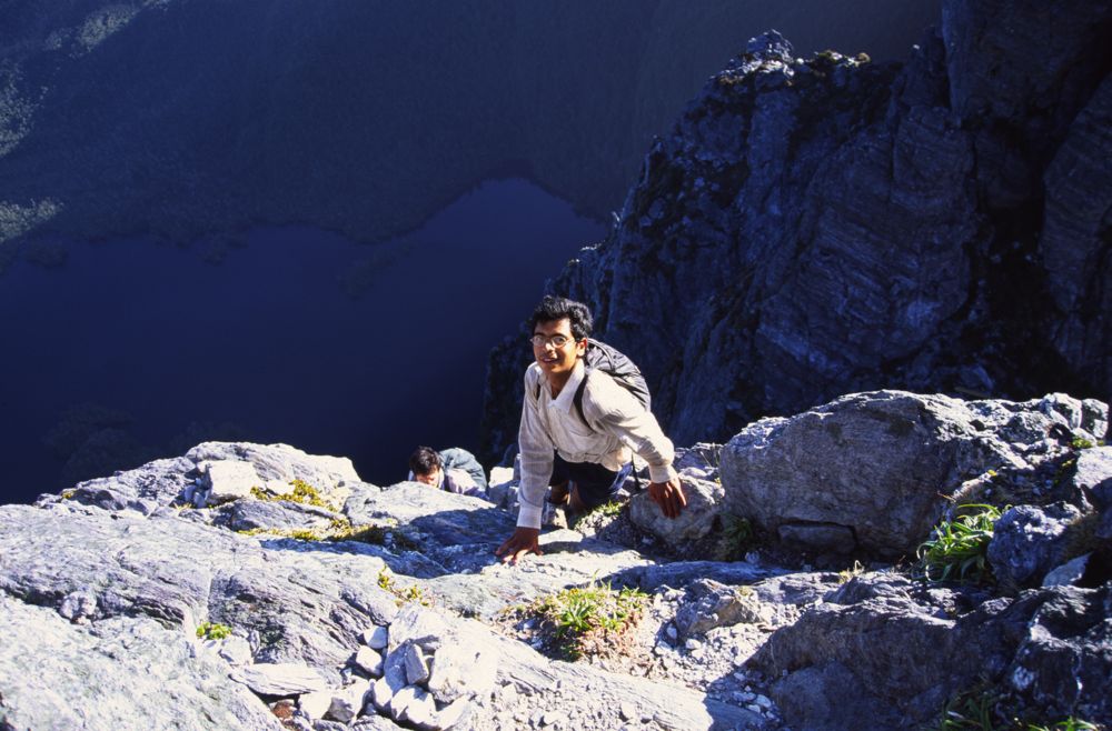
Above - Looking down from the top of Luckmans Lead

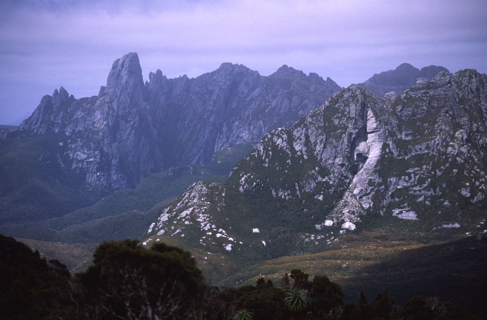
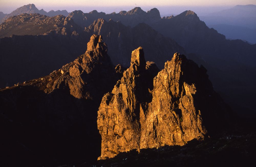
Above - The Dial and the Needles
Above - Federation Peak from Stuart Saddle
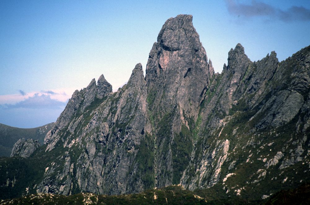
Above - Federation Peak
Above - Federation Peak from the Southern Traverse
Above - Alex and Rob on the scramble up the peak

Above - Mt Hopetoun from Federation Peak
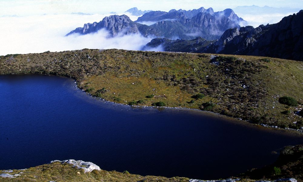
Above - Hanging Lake and Mt Geeves

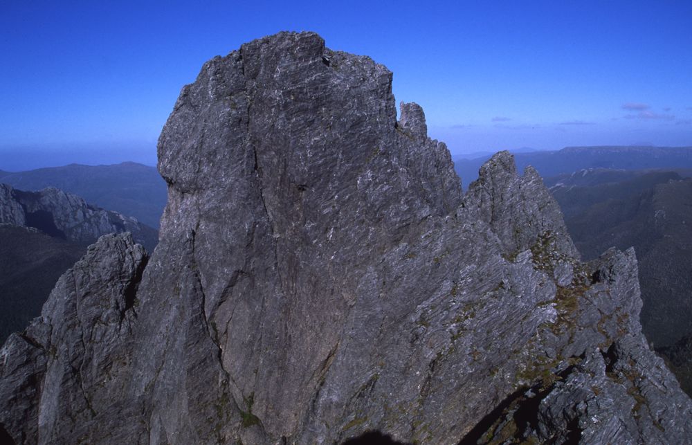
Above - Alex on the summit

Above - Rob and Alex on the way down

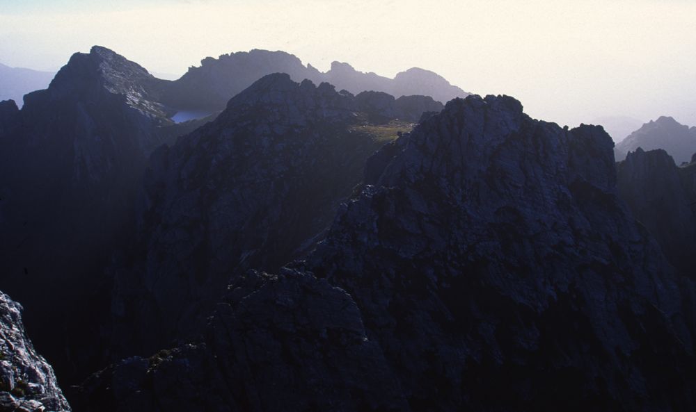
Above - Dusk - top of Thwaites Plateau
Above - Dusk - top of Thwaites Plateau
Above - Dusk - top of Thwaites Plateau
Day 7
- Up early to photograph the sunrise. Later, a large wall of
mist rose up out of some abyss and flooded over Federation Peak - a
most impressive site! We then descended back down the range to camp
at Pass Creek
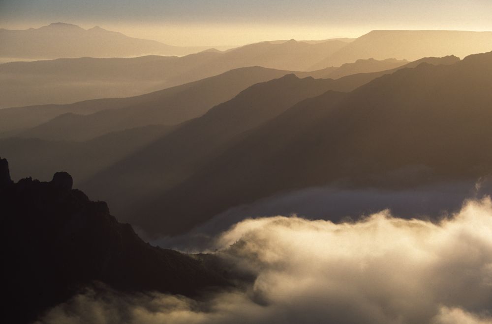
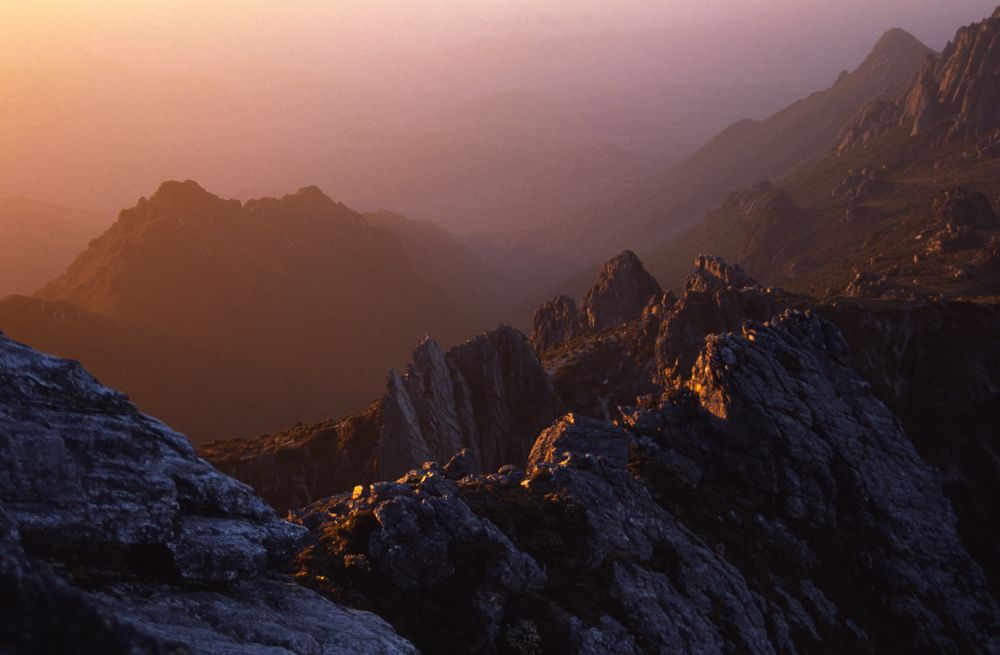
Above - Dawn - Whiz Range

Above - Dawn - Whiz Range (The Whiz Range named by Barry Higgins in the
early 60's has also been called "Tam O'Shanter", "The Craycroft Hills"
and the "Crest Range")
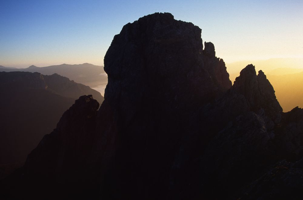
Above - Dawn - Federation Peak
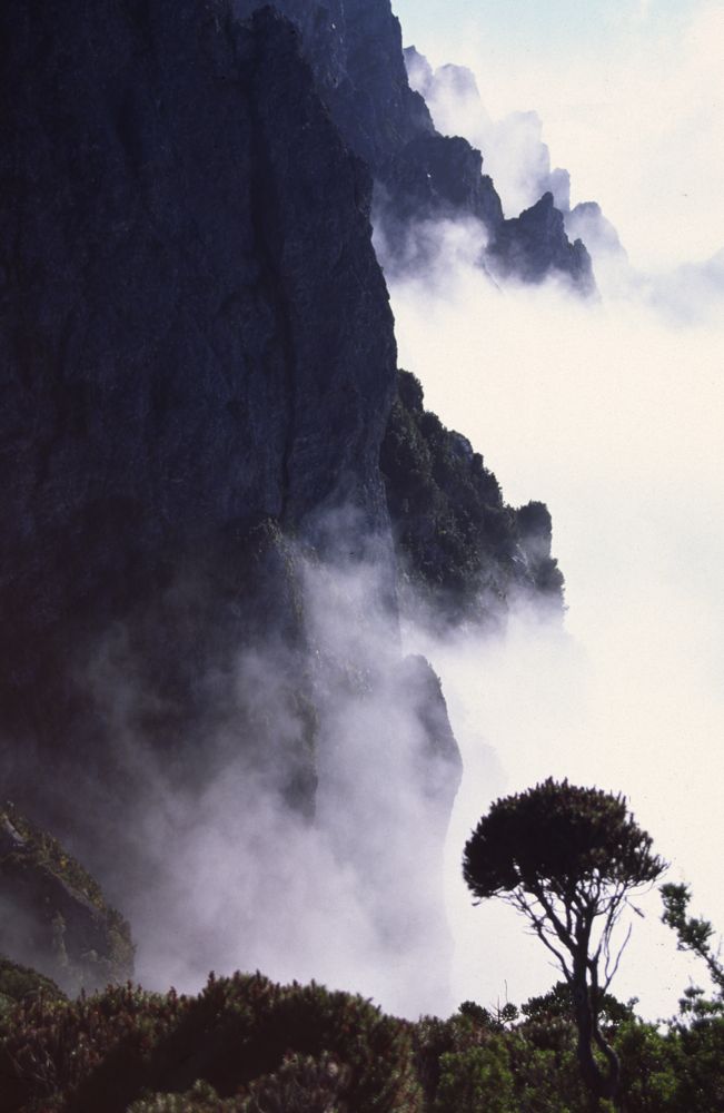
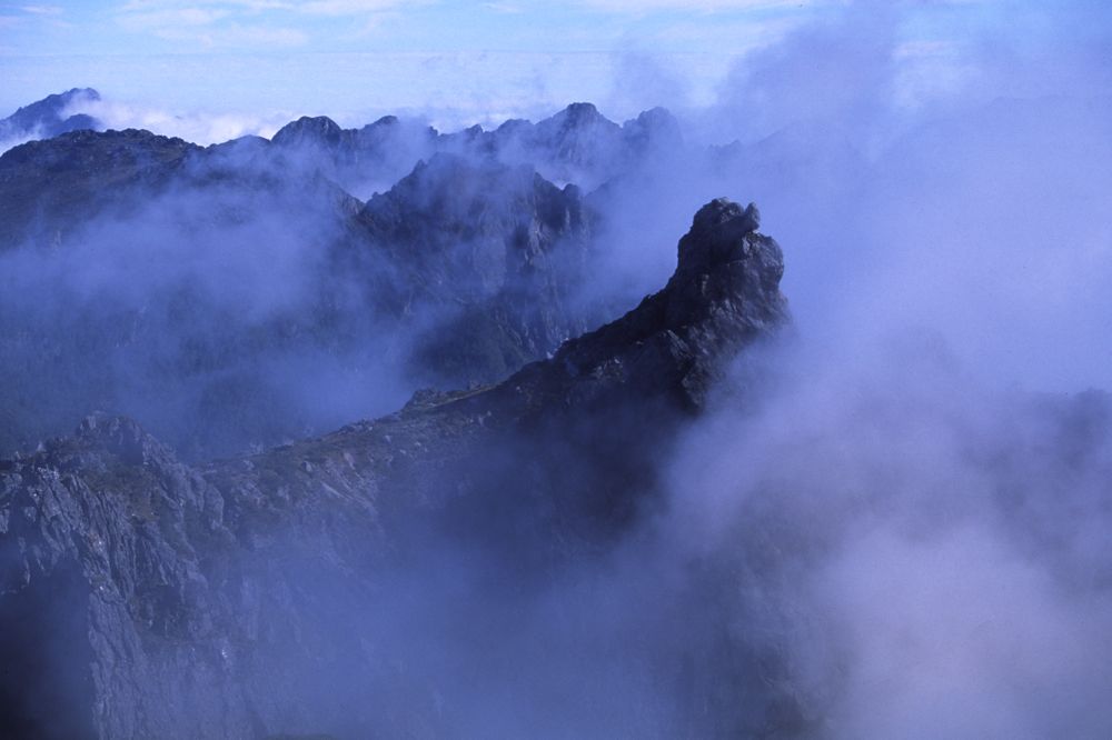
Above - rising mist
Above - rising mist

Above - our campsite near Hanging Lake
Above - view from Hanging Lake
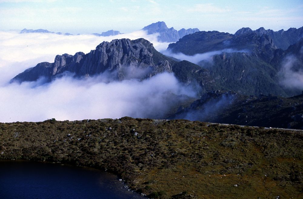
Above - view from Hanging Lake
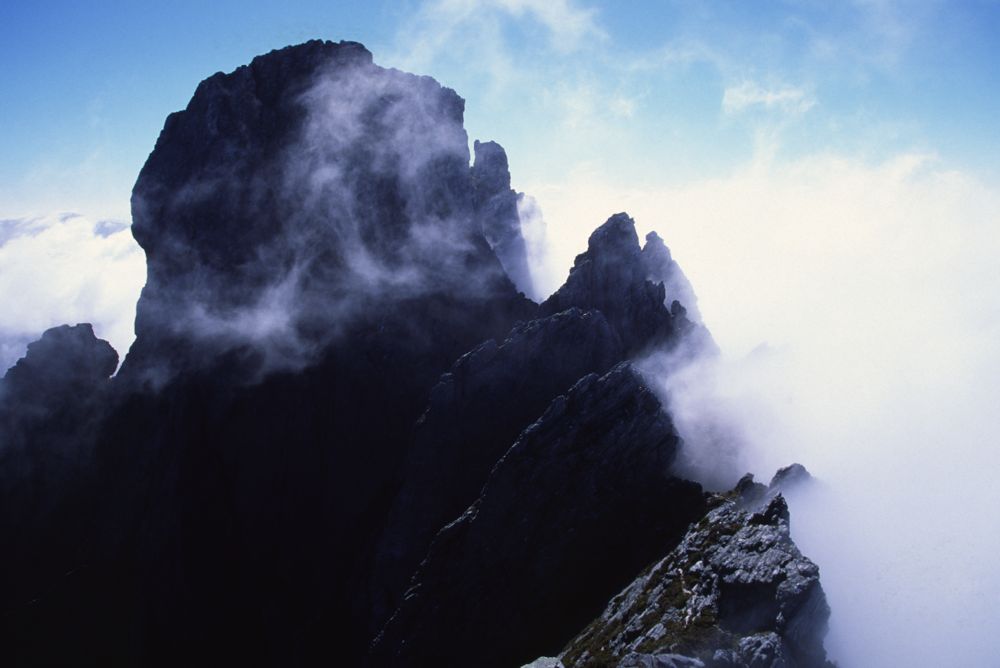
Above - the Devils Thumb
Continue to Page 3 - the Western Arthur Range
Return to david-noble.net