Tasmania - Southern Reserve Walk - Jan 1977
All images © David Noble. No image can be used for any purpose
without permission.
This was an 8 day solo walk in the south end of Cradle Mountain - Lake
St Clair National Park. I had gone to Tasmania early to prepare some
food drops for a long south west trip. I had dropped them off at the
airport and now had over a week to wait for the others to come down
from the mianland - so thought some time in the Southern Reserve would
be nice.
Day 1
I hitched from Hobart to Derwent Bridge and set off for up the Cuview
Valley for Lake Petrarch from Cynthia Bay at Lake St Clair
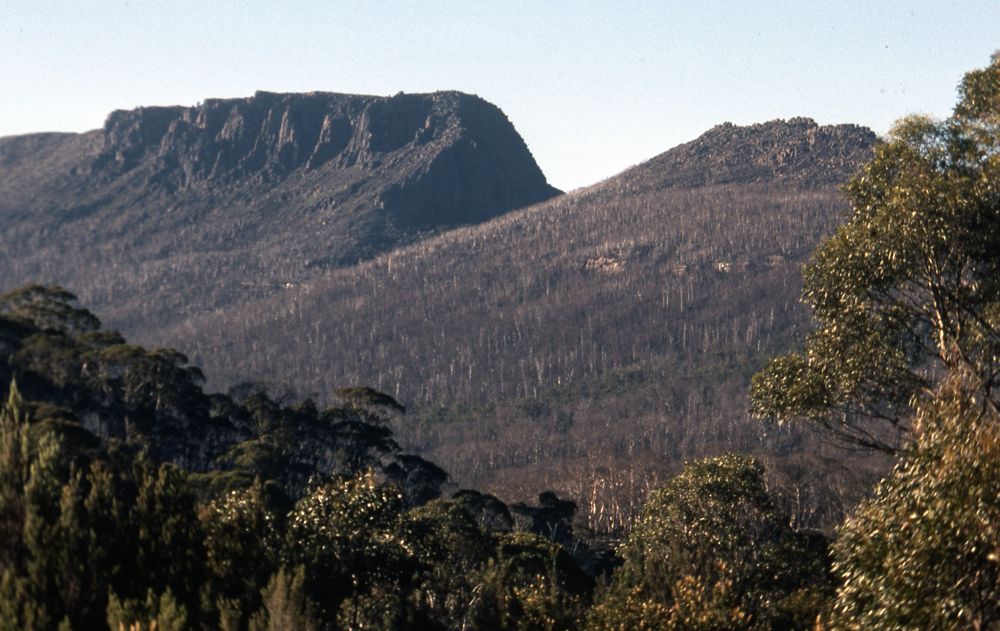
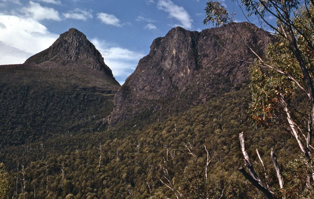
Above - Mt Olympus
Day 2
I set off early in the morning and climbed Mt Olympus. Then back to
Lake Petrarch, and off the track to Byron Gap. I then climbed Mt Byron
from the gap. I was intending to continue over Mt Cuvier and Manfred
but the going looked a bit tricky for a solo hike with a big pack. So I
went back to the gap and followed the track to Narcissus and then
camped nearby at Nicholls Junction.
Above - Mt Ida from Mt Olympus
Above - Mt Manfred from Mt Byron
Above - The Guardians and Mt Gould from Mt Byron

Above - Mt Olympus from near Nicholls Junction
Day 3
I set off early with a daypack for Mt Manfred. I left the Lake Marion
track and headed cross country - but before long it started raining
heavily - so I stopped and headed back to Nicholls Junction. I then
packed up and headed to Pine Valley to wait out the bad weather.

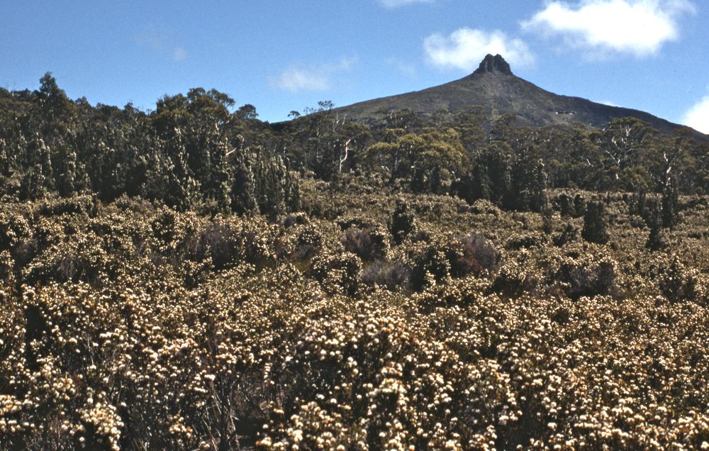
Above - Mt Manfred
Day 4
In fine weather I set off up the track to the Labyrinth. At the top of
the hill I dumped my gear and set of for the Minotaur and Mt Gould.
After climbing both peaks I returned and had lunch. In the afternoon I
headed to the Labyrinth and set up camp. In the late afternoon - I
climbed Walled Mountain.
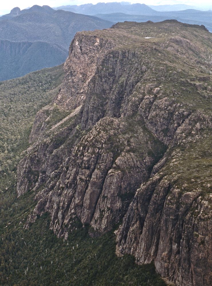
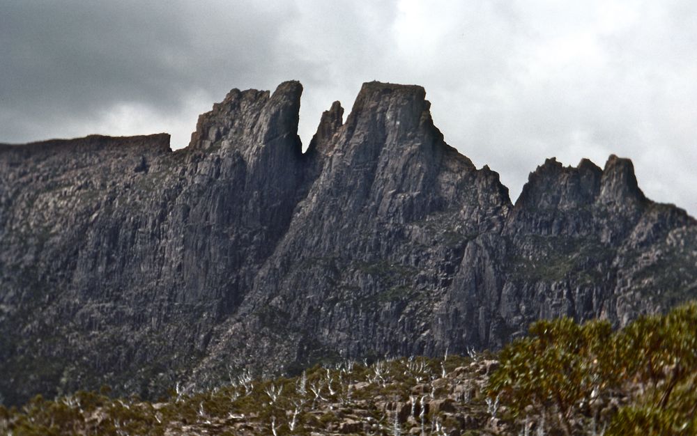
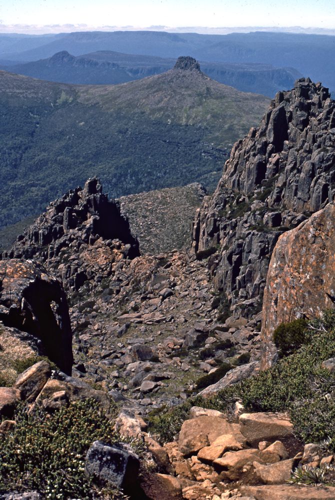
Above - Mt Gould and the Minotaur

Above- Tasmanian Waratahs (Telopia
truncata)
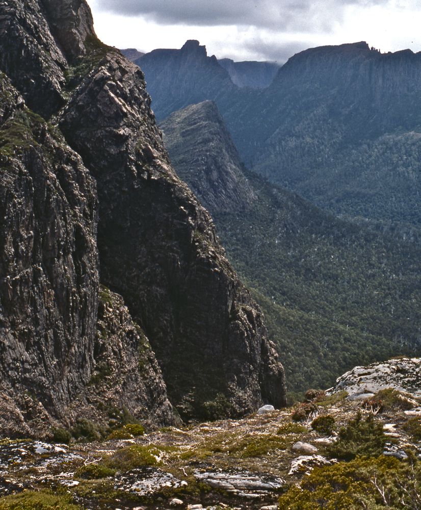
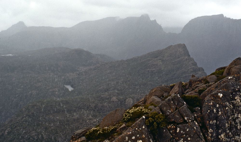
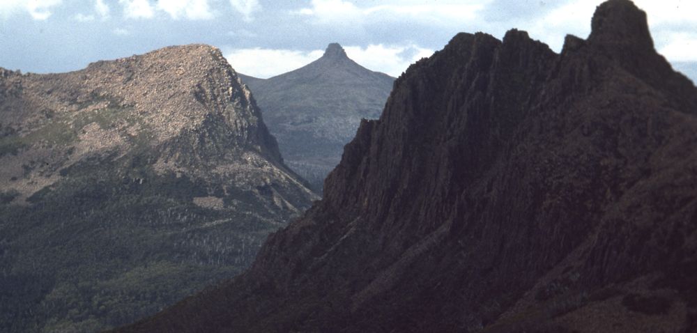
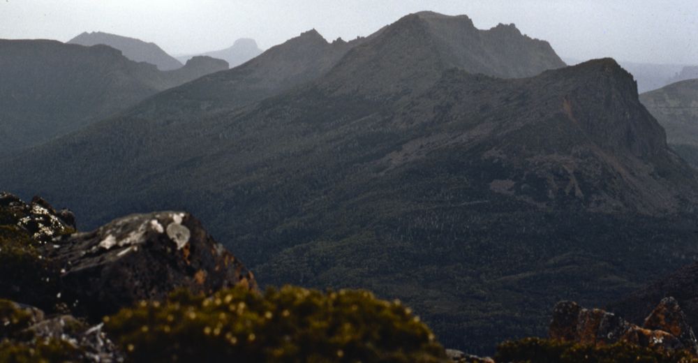
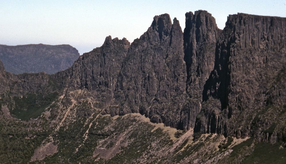
Above - from the slopes of Mt Gould - looking to the Parthenon, the
Geryon and the Acropolis with the walls of the Minotaur on the left.
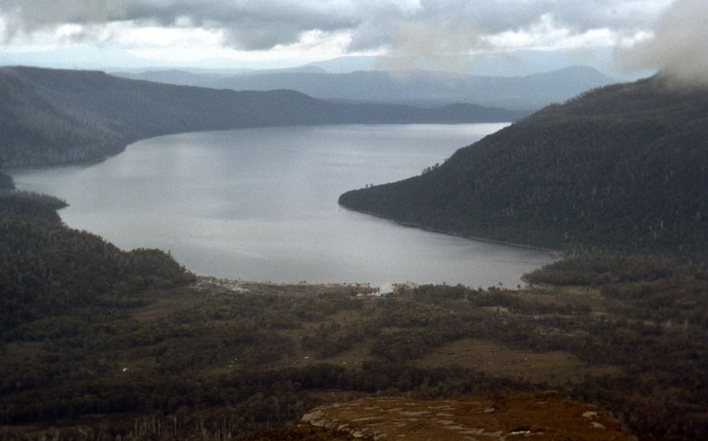
Above - Lake St Clair
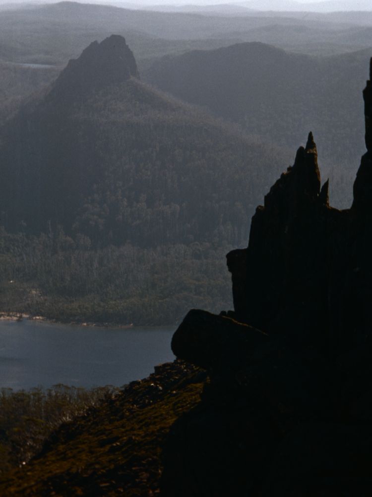
Above - Mt Eros and Hyperion
Above - The Guardian
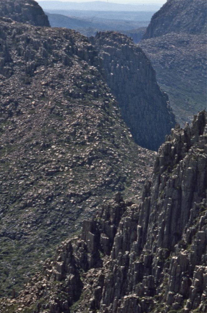
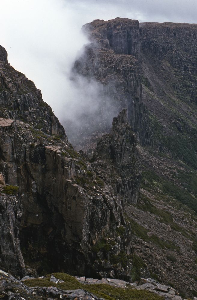
Above - More bad weather as I reached the summit of Mt Gould.
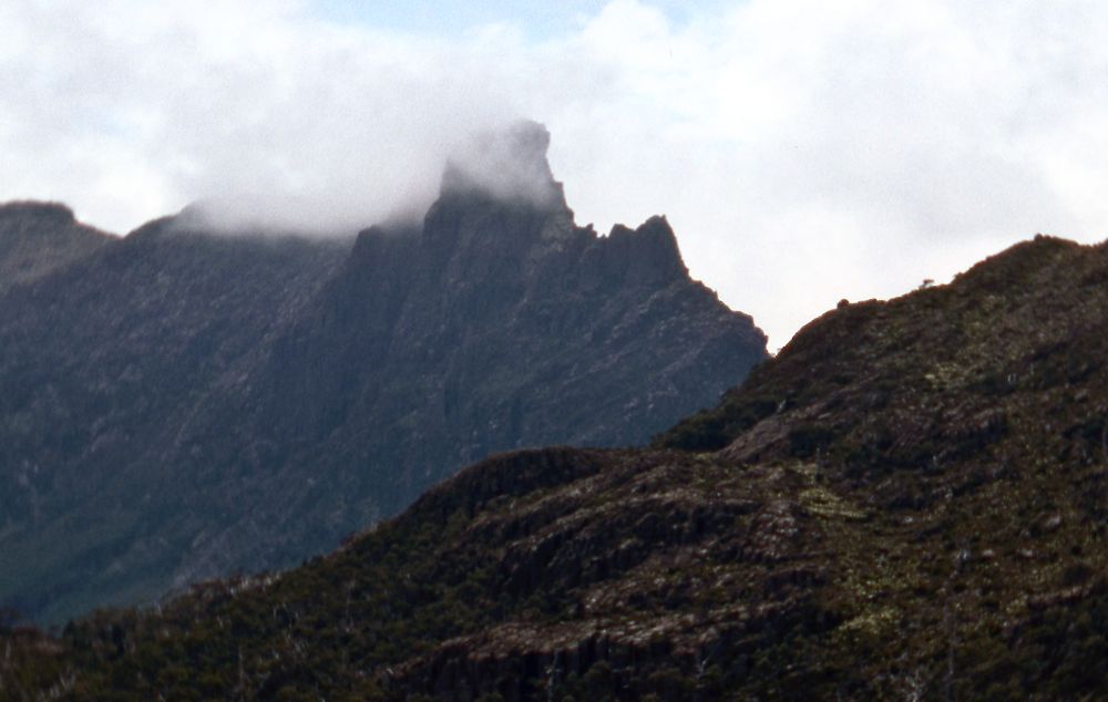
Above - the Geryon
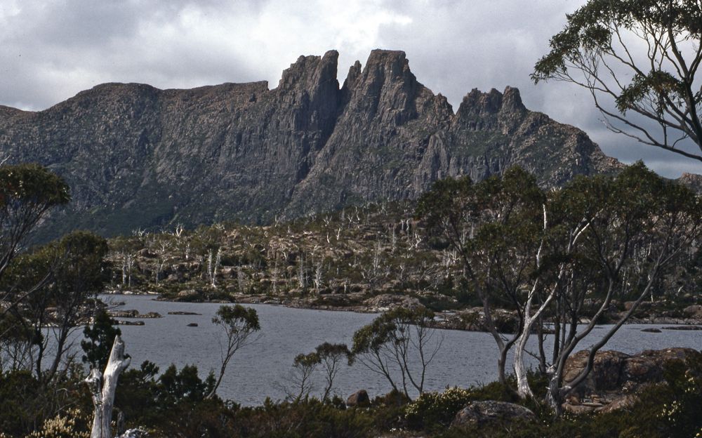
Above - the Geryon from the Labyrinth
Above - Pelion East and Mt Hyperion from Walled Mountain

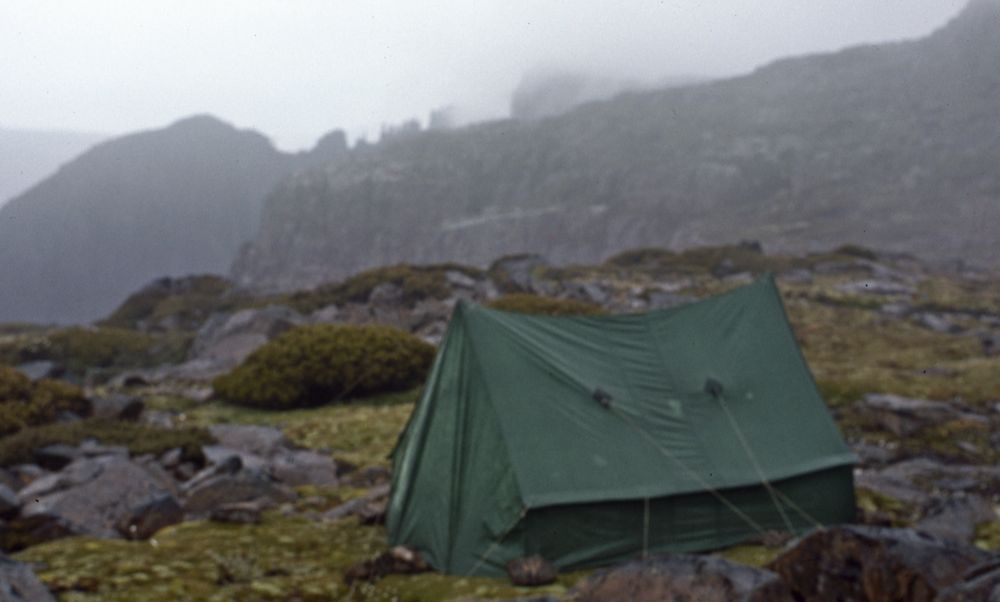
Above - A storm approaches
Day 5
I pack up and headed to the high part of the Du Cane Range. First side
trips to Mt Eros and Mt Hyperion, and then a trip to the North Peak of
the Geryon. Then more bad weather hit as I got close to Bug Gun Pass -
so I camped just above it.
Above - Looking at Big Gun Pass
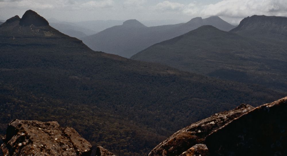
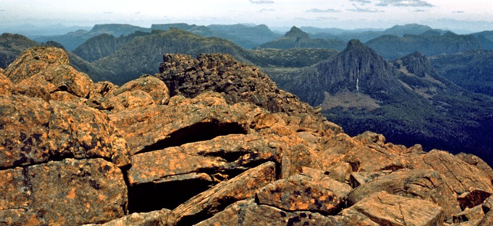
Above - The Acropolis from Geryon North Peak
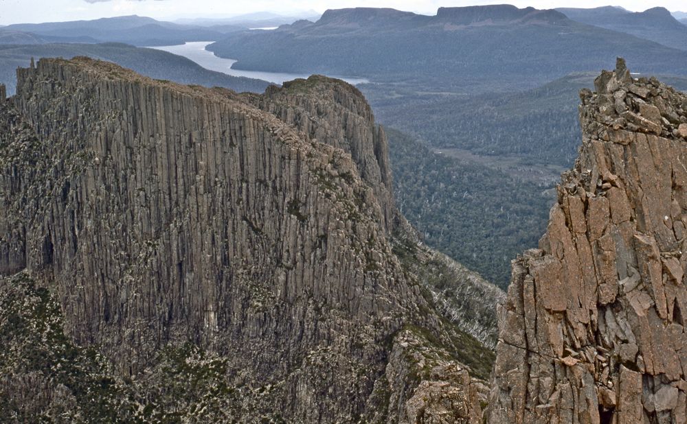
Above - Mt Ossa and other peaks of the Pelion Range from the top of Big
Gun Pass
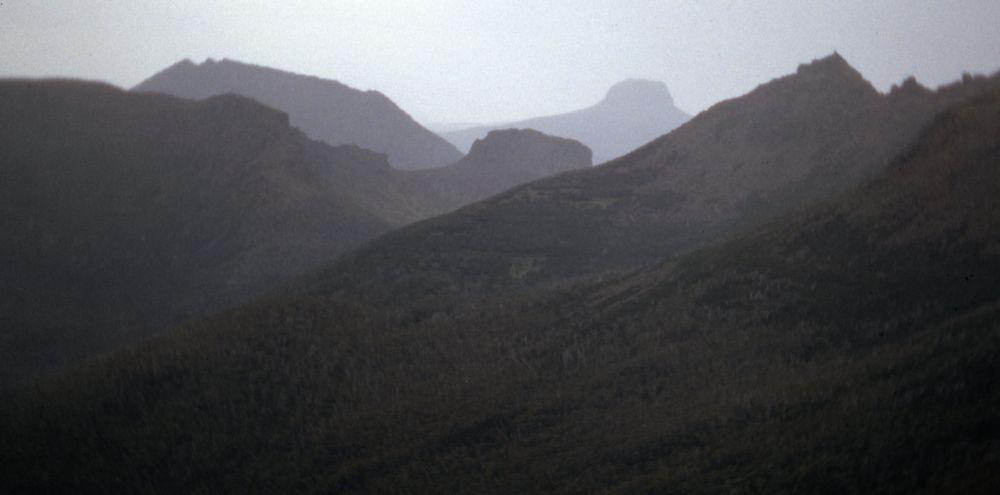
Above - through the gloom - Mt Thetis, Pelion West, Paddys Nuts, Barn
Bluff and part of Mt Ossa
Day 6
It started to fine up - so I packed up and crossed Big Gun Pass to Mt
Massif and then traversed to Falling Mountain. I then descended to Du
Cane Gap and went down to Windy Ridge Hut for the night
Above - Big Gun Pass
Above - the Geryon
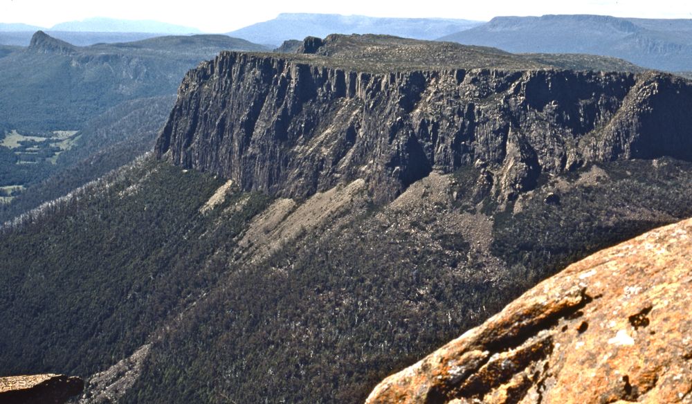
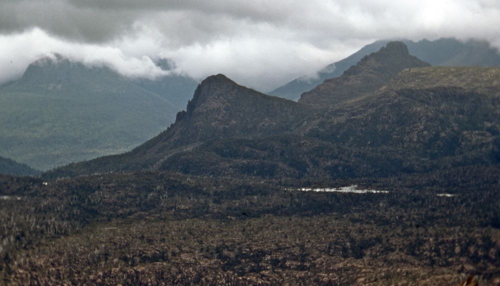
Above - Cathedral Mountain

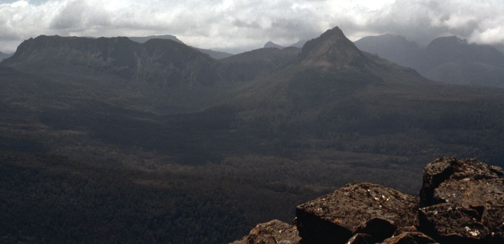
Above - The Acropolis and Geryon from Falling Mountain
Day 7
I did a long daytrip from Windy Ridge Hut to Mt Ossa and Pelion East
Above - Pelion East
Above - Du Cane Range peaks from Mt Ossa
Above - Pelion East from Mt Ossa
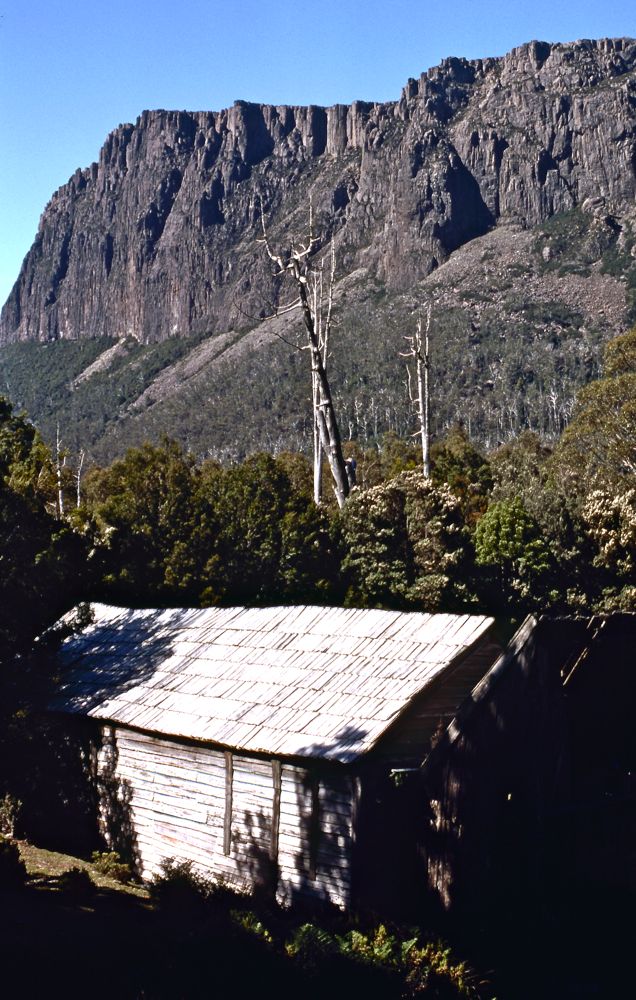
Above - Cathedral Mountain from "Windsor Castle" (Du Cane Hut)
Day 8
I walked out from Windy Ridge to Narcissus and then a quick trip around
Lake St Clair to Cynthia Bay, then walked down to Derwent Bridge Hotel
for a drink. Then a hitch back to Hobart.
Return to david-noble.net