Blue Breaks Walk - Part 1
© David Noble. No images can be used for any purpose without
permission
Day 1 - Kanangra Walls, Bullhead Range, Cambage Spire, Kowmung River
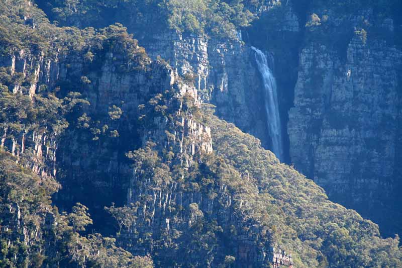
Above - Kanangra Falls from the Walls
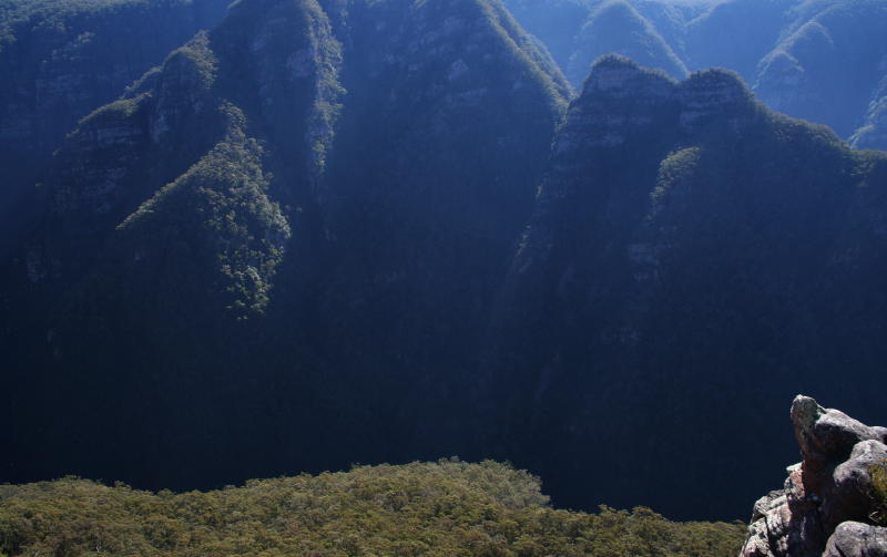
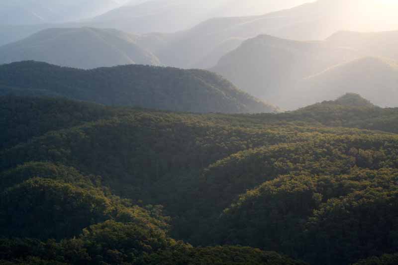
Above - Thurat Spires and Kanangra Deep
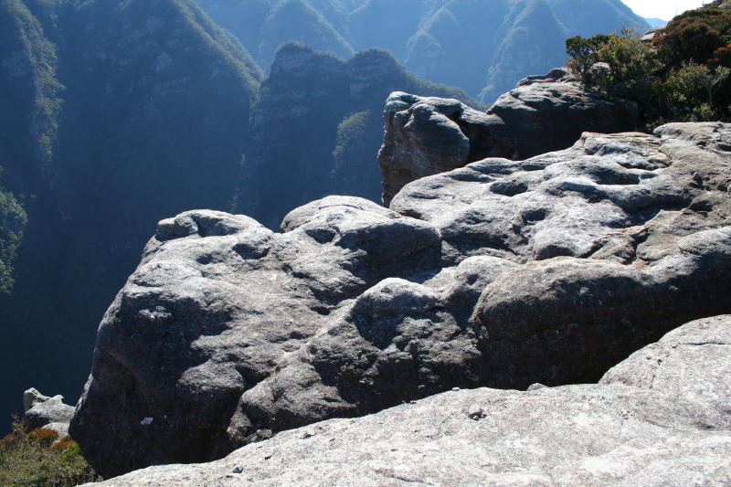
Above - Kanangra Deep
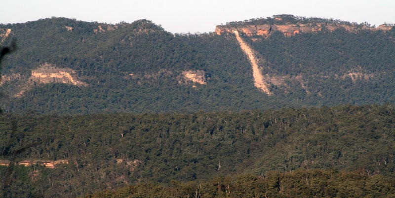
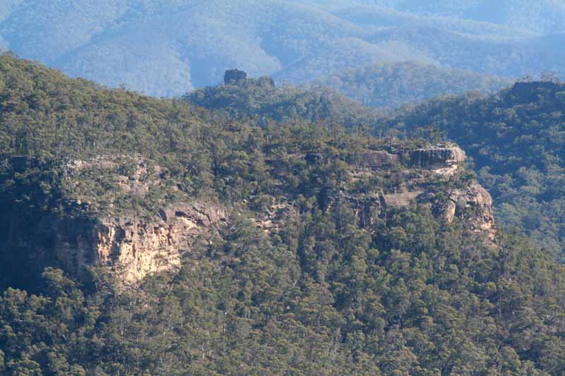
Above - A recent landslide on Axehead Mountain - viewed from Cambage
Spire
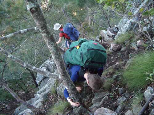
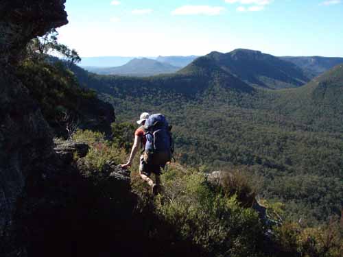
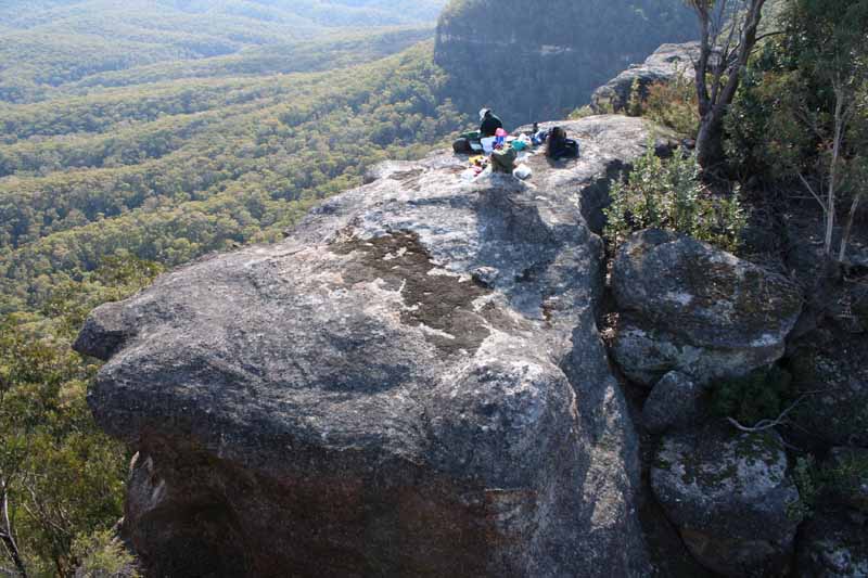
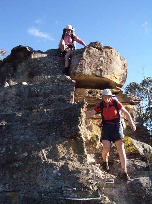
Above - Jo and Vanessa scrambling off Cambage Spire
Day 2 - Kowung River, Bulga
Range, Byrnes Gap, Axehead Mountain
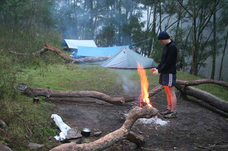
Above - Jo at the campsite on the Kowmung
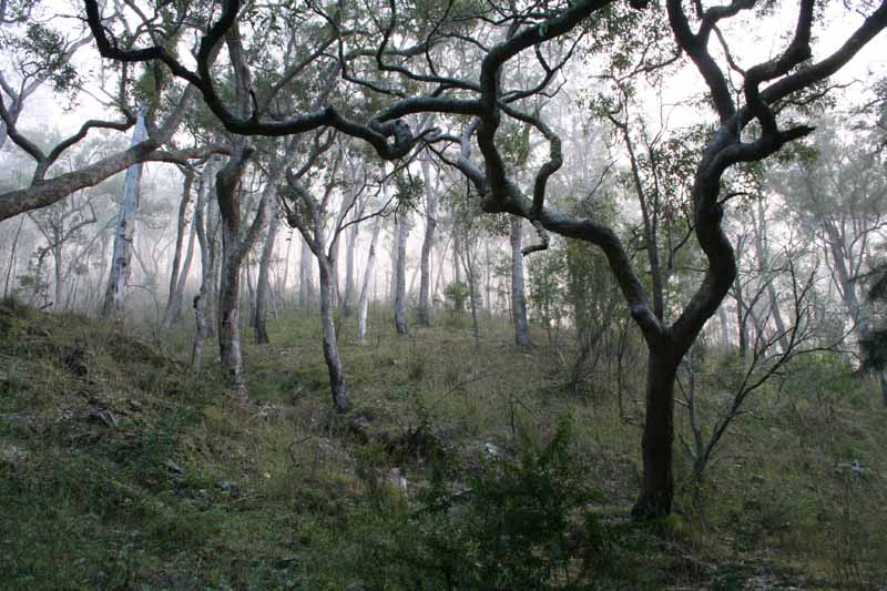
Above - Trees near the river
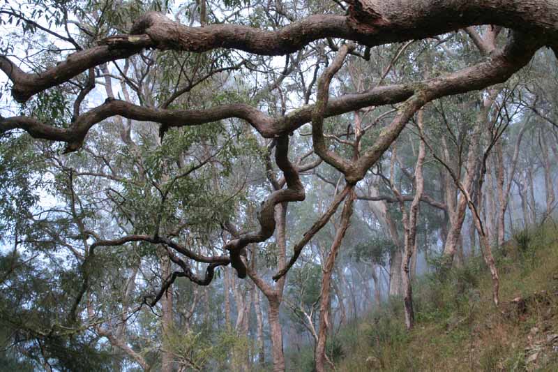
Above - Trees near the river
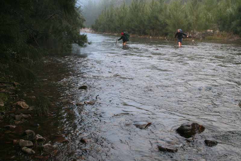
Above - Crossing the Kowmung. The river was still a bit high after
recent rain
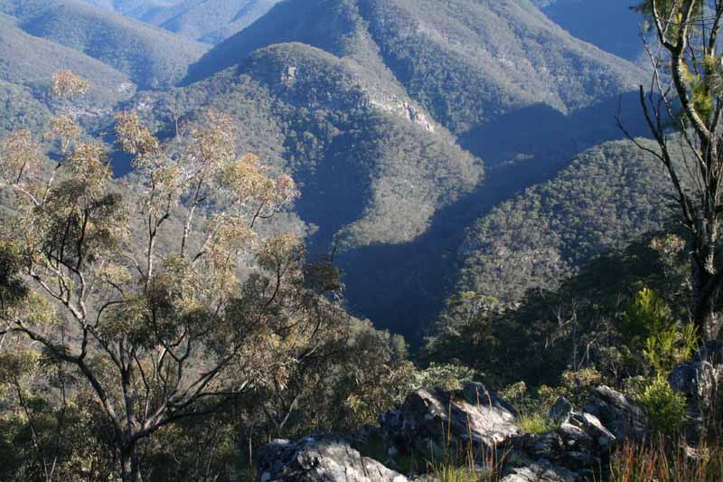
Above - From Bulga Cone - looking back to the Kowmung - Christies
confluence
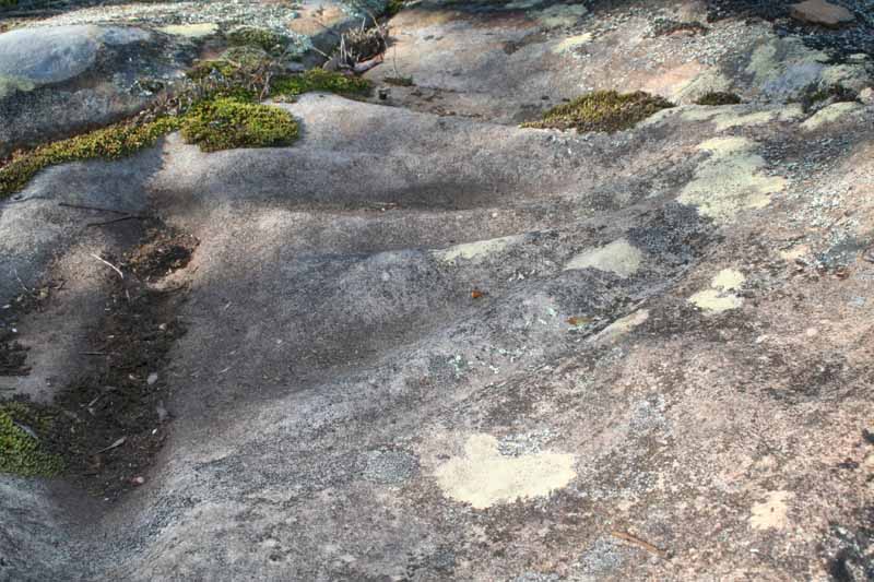
Above - Aboriginal sharpening grooves on Bugle Lookout - Bulga Range
Above - Jo on Axehead Mountain
Above - A nice place for lunch - on Axehead Mountain

Above - On top of the landslide on Axehead Mountain. Our pass down off
a steep bit is right next to the landslide!
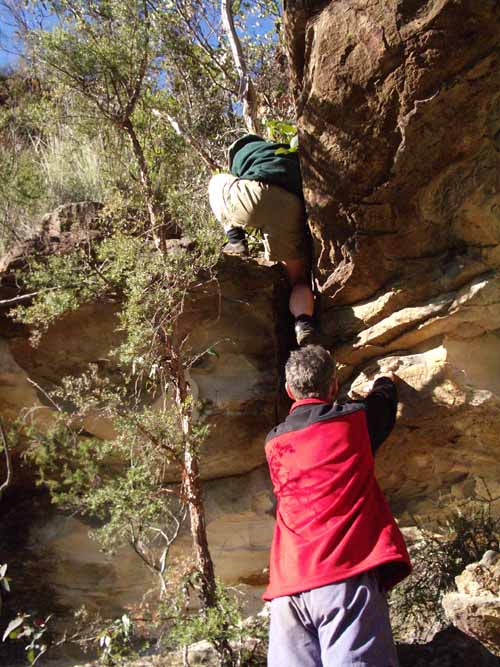
Above - Dave helping Vanessa down the bottom of the pass
Above - Jo and Vanessa at the landslide
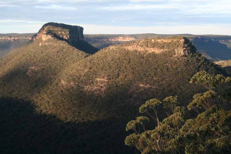
Above - The Soapbox on Tonalli Mountain and Mt Colong in the background
Above - Chiddy's Obelisk and Tonalli Mountain
Above - Aboriginal sharpening grooves near the Sentinel - Axehead
Mountain
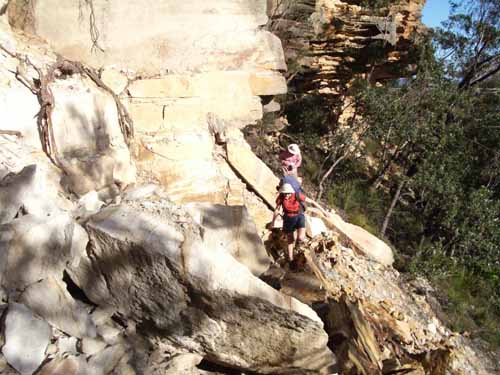
Above - Vanessa and Jo scrambling on Axehead Mountain
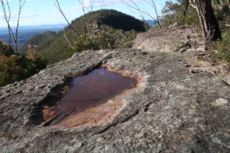
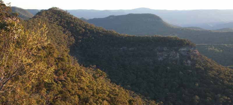
Above - The view north from Toddy Head - Axehead Mountain. In the far
distance on the left is Broken Rock Range and Bimlow and (closer) Lacys
Tableland on the right. Vengeance Peninsula is on the far right. The
pool in the foreground provided our water for the night and the next
morning.
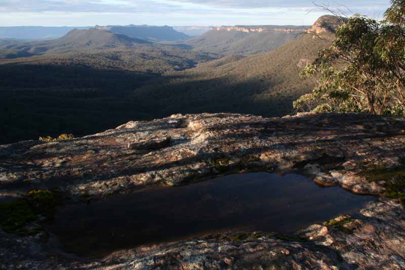
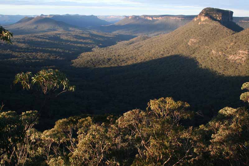
Above - Late afternoon lighting - Kowmung Gorge from Toddy Head -
Axehead Mountain
Above - Vengeance Peninsula and (right) Bull Island from Toddy Head

Above - Vanessa and Jo check the maps - Toddy Head
Above - the view north
Above - The Sentinel (part of Axehead Mtn) - left and Kowmung Mountain
from Toddy Head
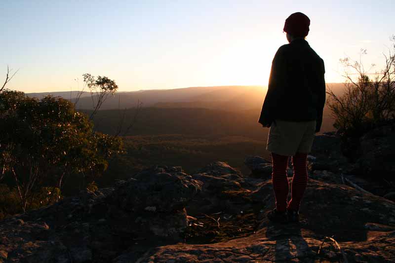
Above - Vanessa watches the sun setting over the Kowmung Valley
Go to Part 2
Return to Blue Breaks Walk menu
Return to david-noble.net