Blue Breaks Walk - 24 - 29 September 2011
All images © David Noble. No image can be used for any purpose
without permission.
Page 3 - Broken Rock Range - Kowmung River
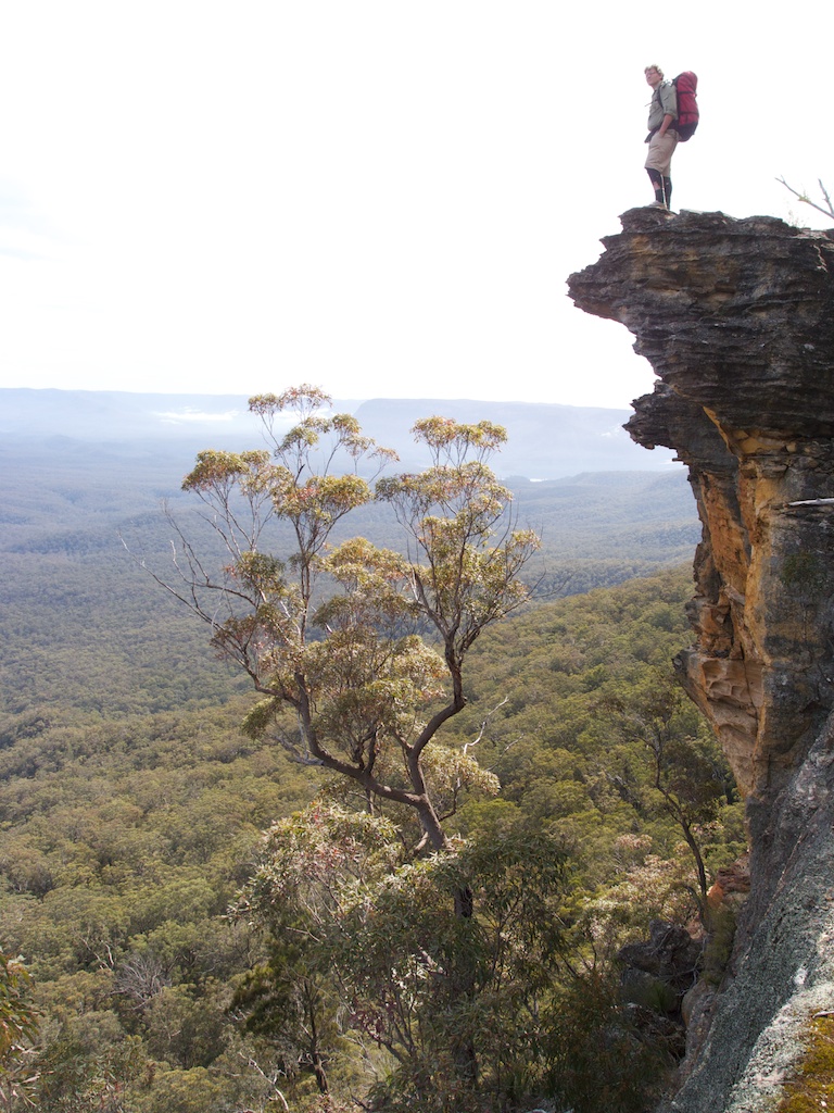
Above - Tim on an overhang
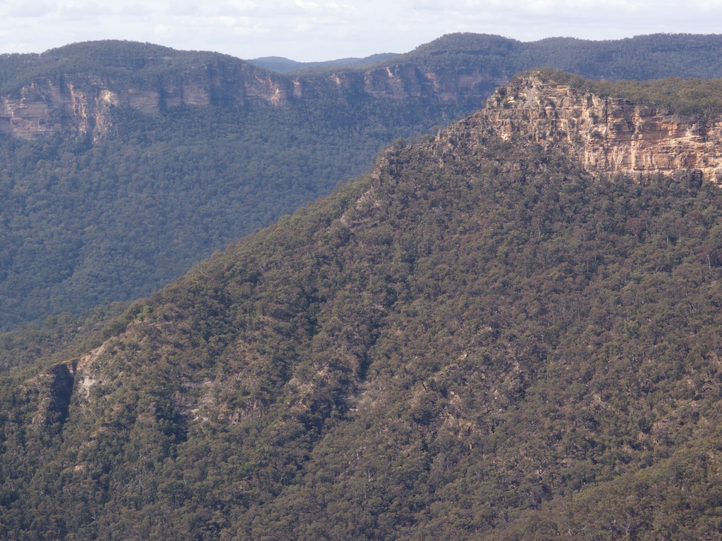
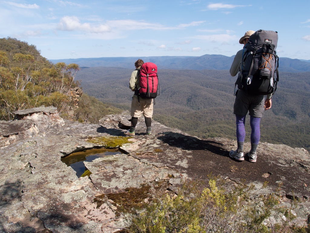
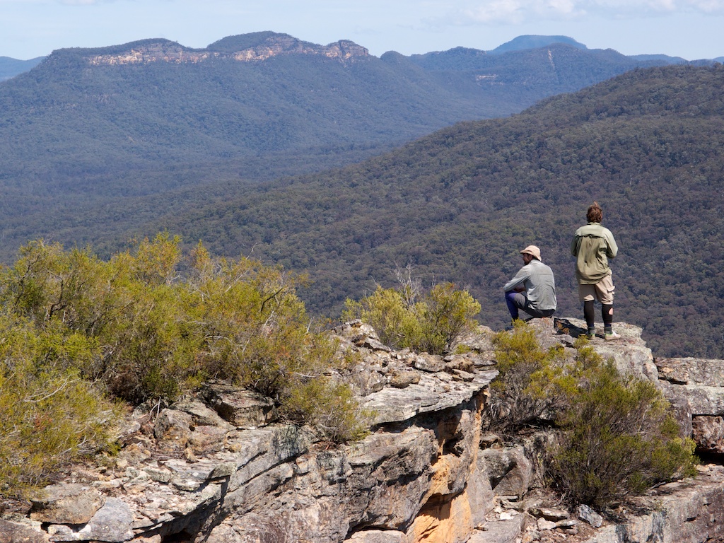
Above - Looking at Shoobridge Head - a steep scrambling pass with
Bimlow Tableland behind
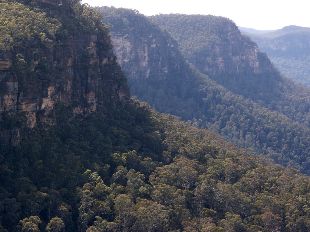
Above - looking towards Catt Head. Another pass - but a harder one
than Shoobridge Head.
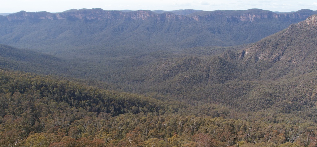
Above - Bimlow Tableland
Above - on Broken Rock Range
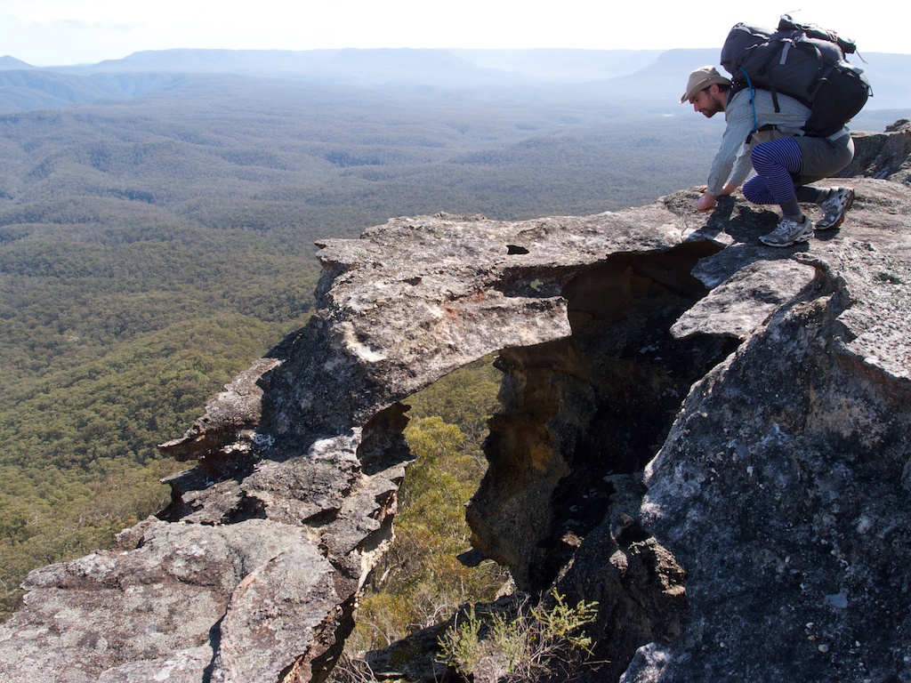
Above - Peter inspects and arch
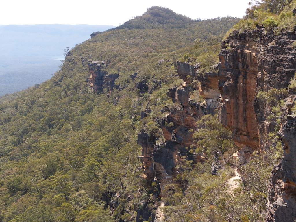
Above - looking back along the range to Mt Broken Rock

Above - the southern end of Broken Rock Range
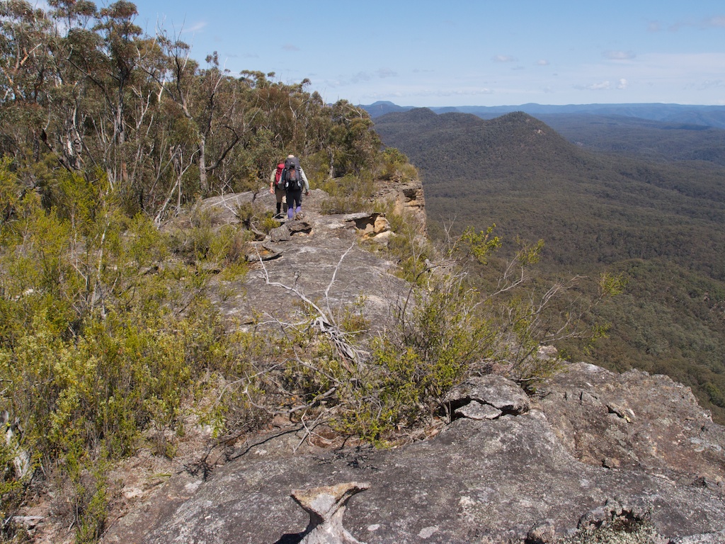
Above - looking towards Vengeance Peninsula and the Axehead Range
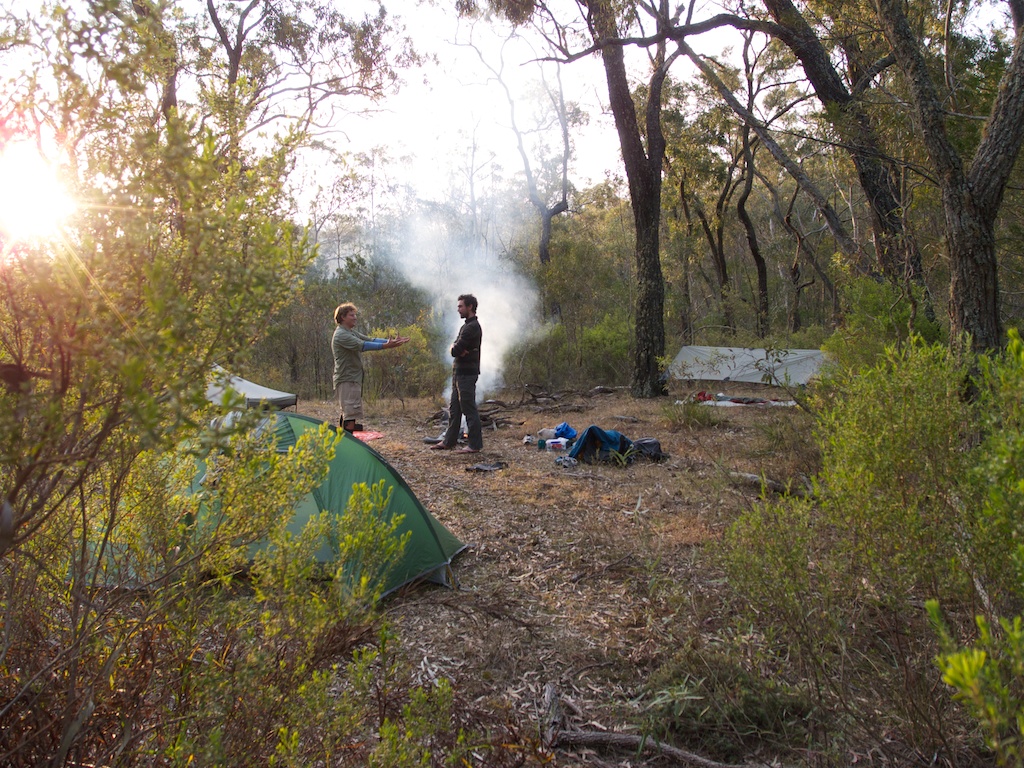
Above - camp near Butchers Creek
Day 5 - Scotts Main Range - Kowmung River
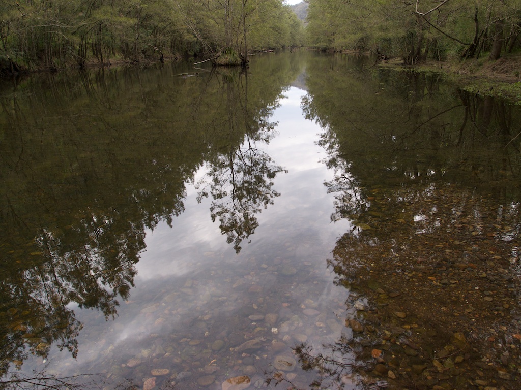
Above - Kowmung River near Gingra Creek
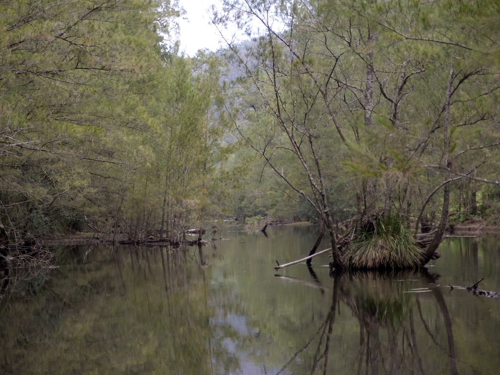
Above - Kowmung River
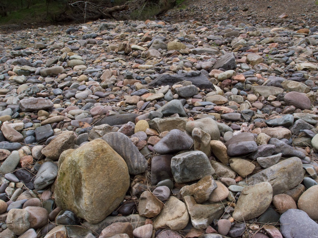
Above - river cobbles, Gingra Fan
Above - Kowmung River. We walked up the Kowmung River from Gingra
Creek to Ferny Flat
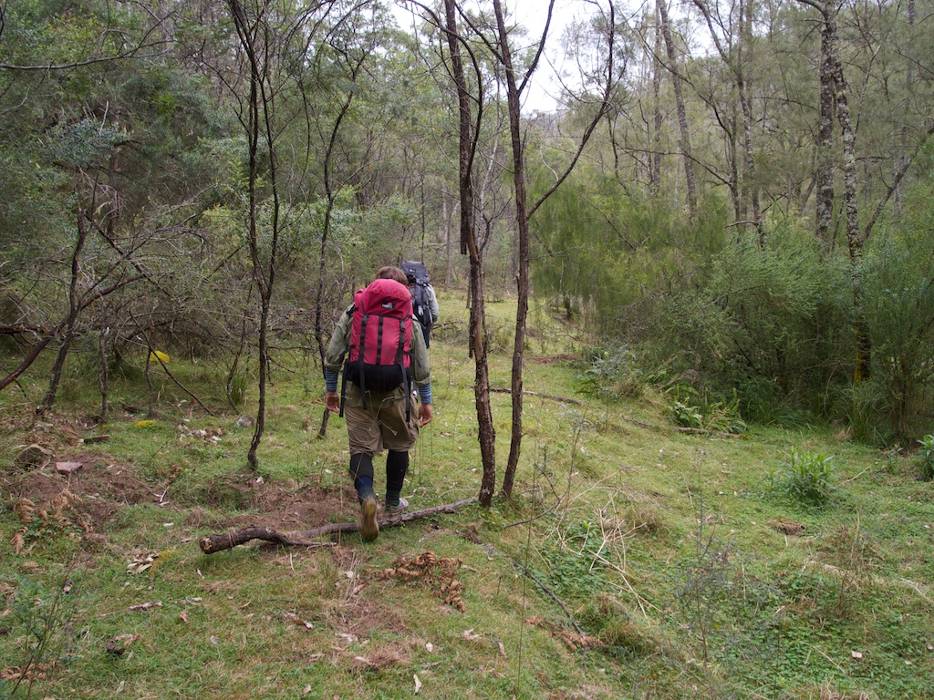
Above - walking on the grassy banks of the Kowmung River. A lot of
pig damage was eveident as we headed up the river
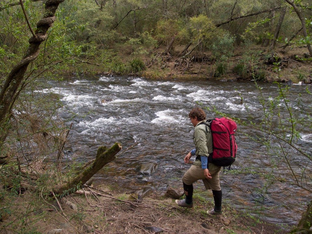
Above - Tim
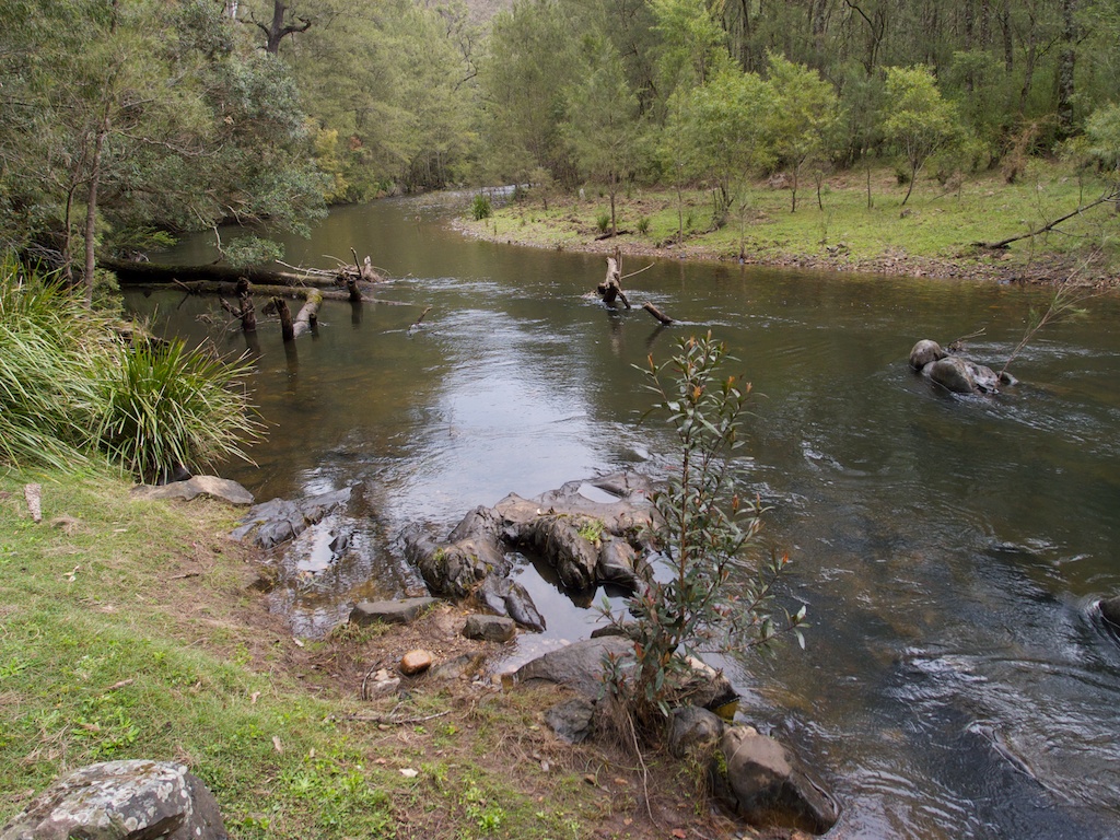
Above - Kowmung reach
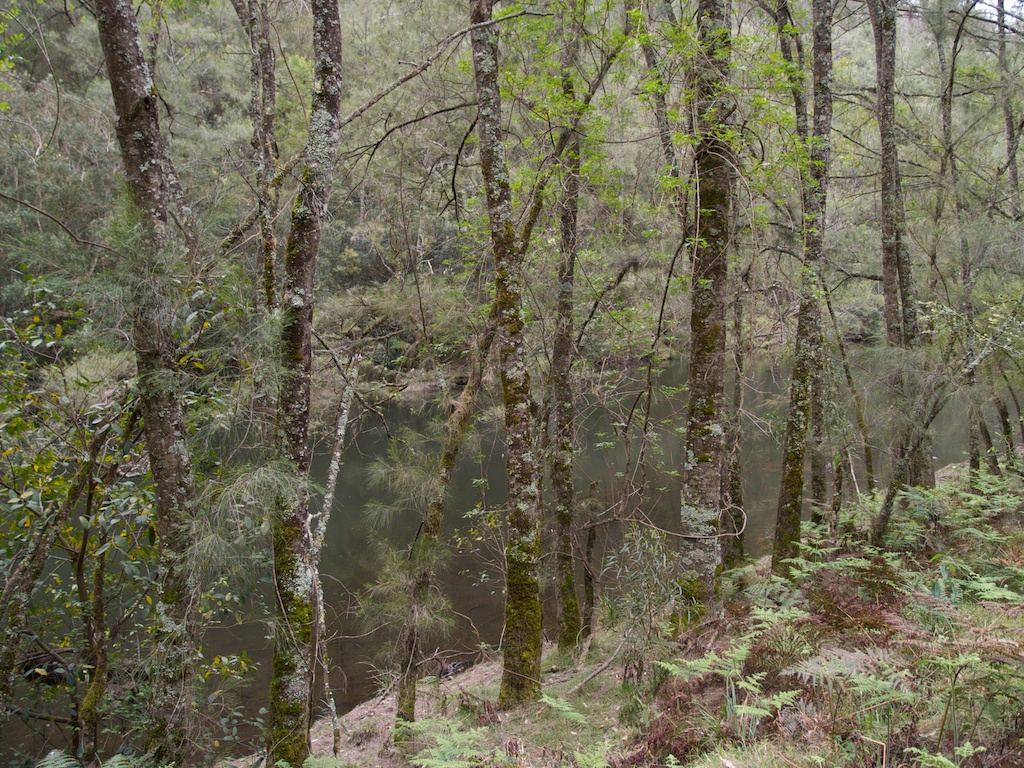
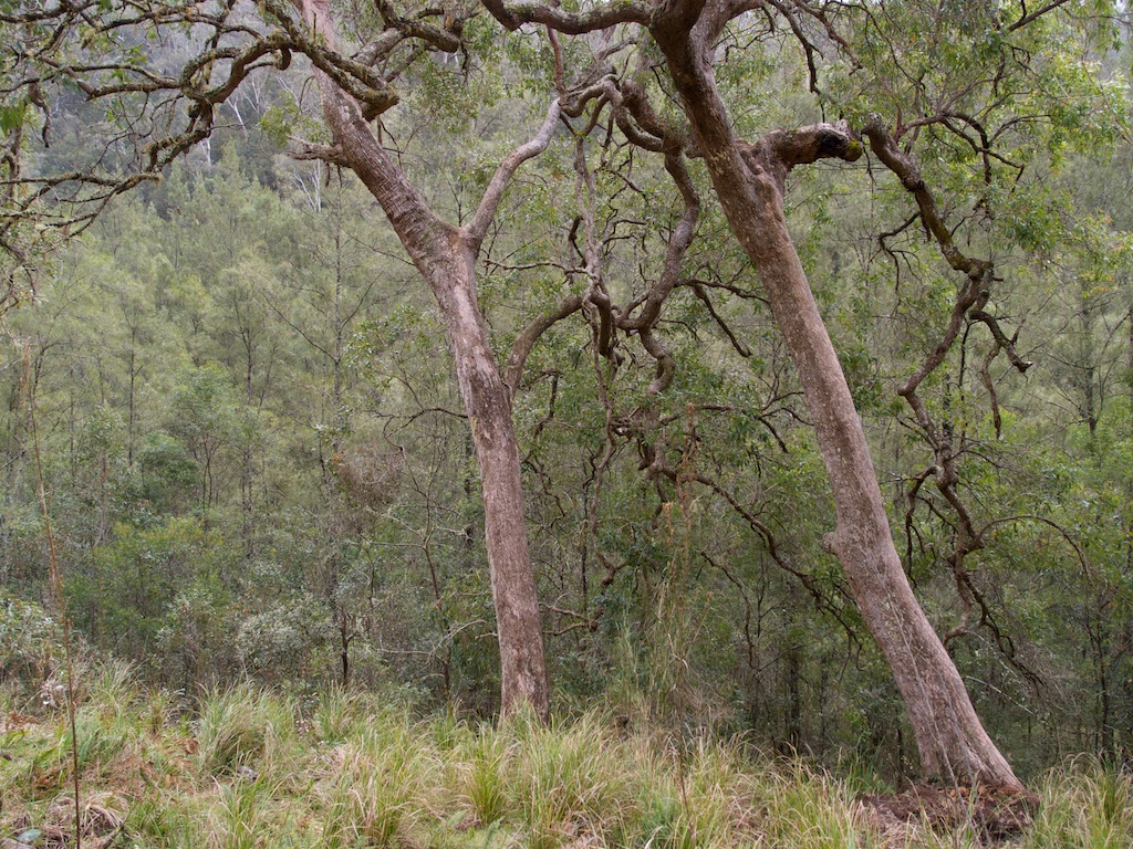
Above - water gum

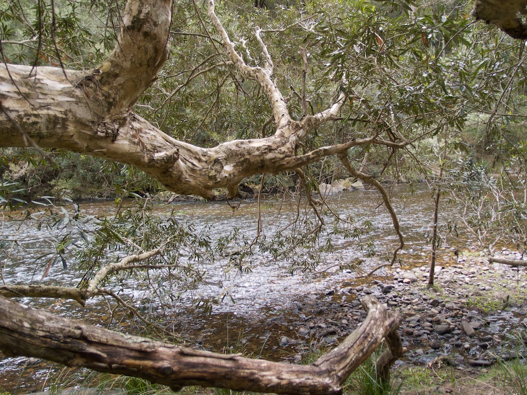
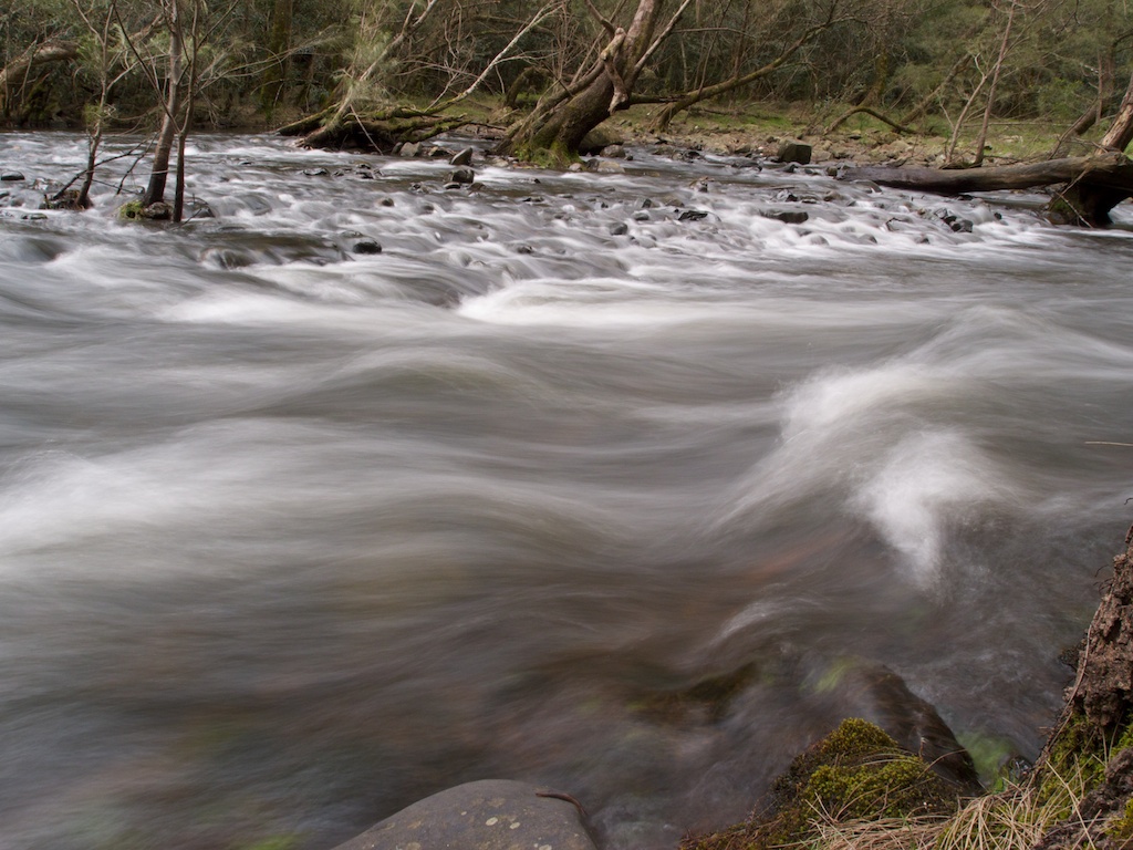
Above - Kowmung rapids
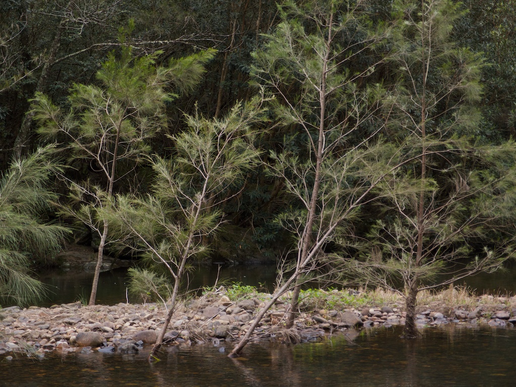
Above - small casuarinas

Above - Kowmung reach
Continue to Page 4 - More on the Kowmung
River
Return to david-noble.net