GPS Plots and Google Earth Images
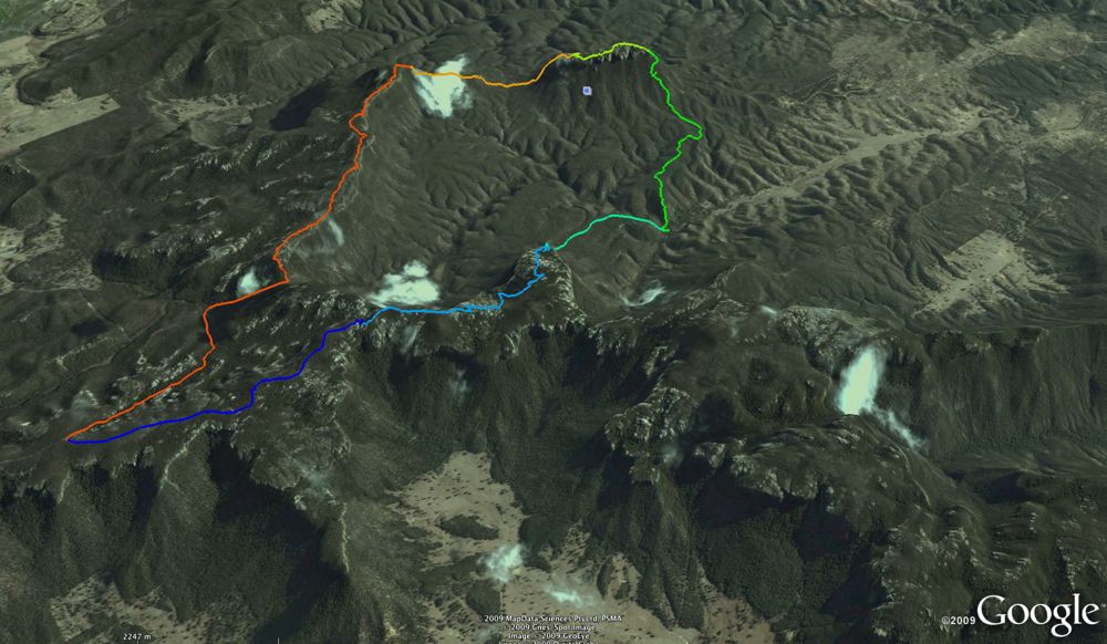
Above - The whole walk
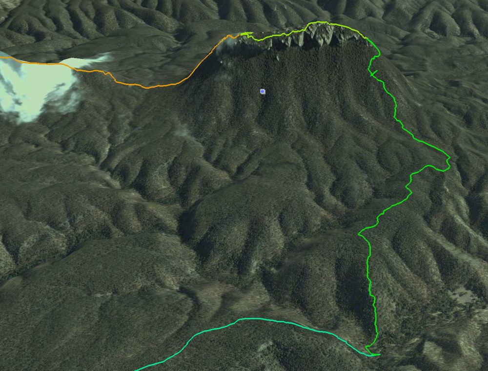
Above - Pantoneys Crown
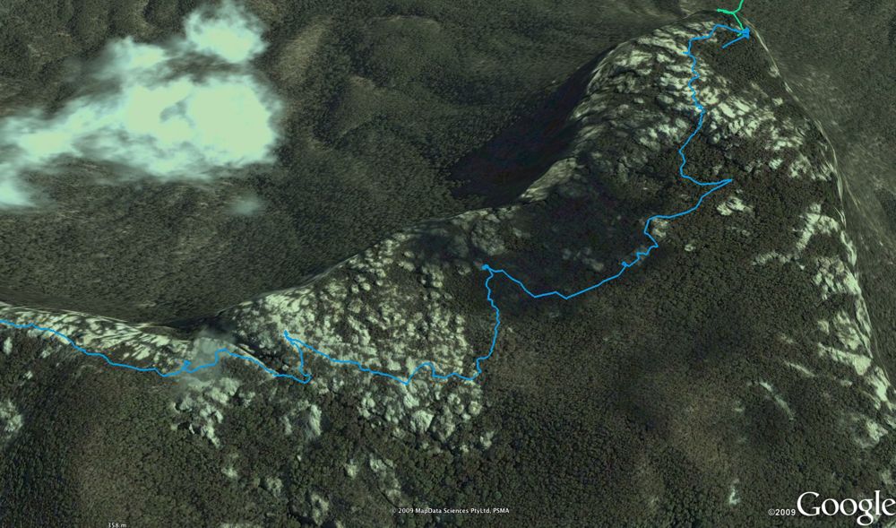
Above - Throiugh the pagodas and domes on the Wolgan-Capertee Divide.
Point Cameron on the top right.
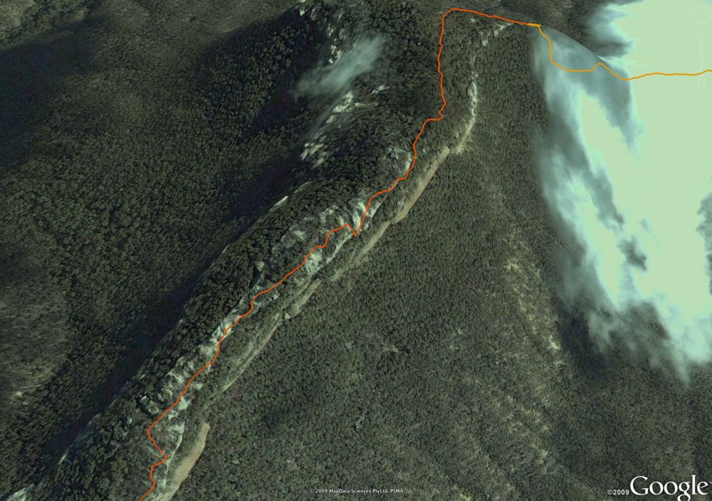
Above - The traverse out to Baal Bone Point
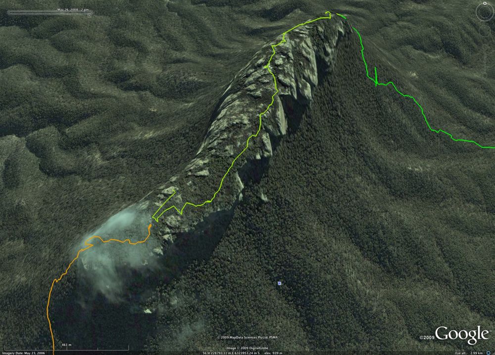
Above - Pantoneys Crown
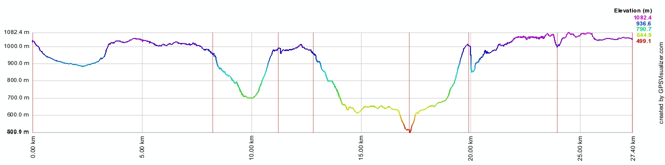
Above - The GPS profile of the walk. The sharp bump at 20km is due to a
change in barometric pressure overnight.
Return to Menu