Bruce's Walk (Eastern Section) - 23 July 2018
All images © David Noble. No image can be used for any purpose
without permission.
Party - Bob, Dave
We walked the eastern half of Bruce's Walk, from Wentworth Falls to
Lawson.

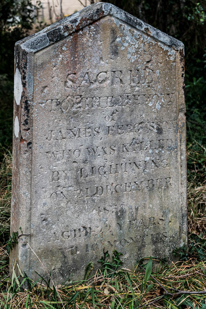
Above - We check out this old grave near Wentworth Falls Station
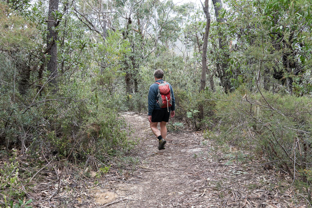
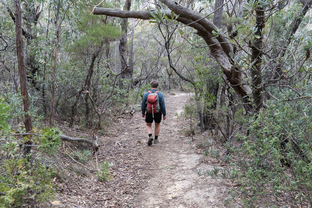
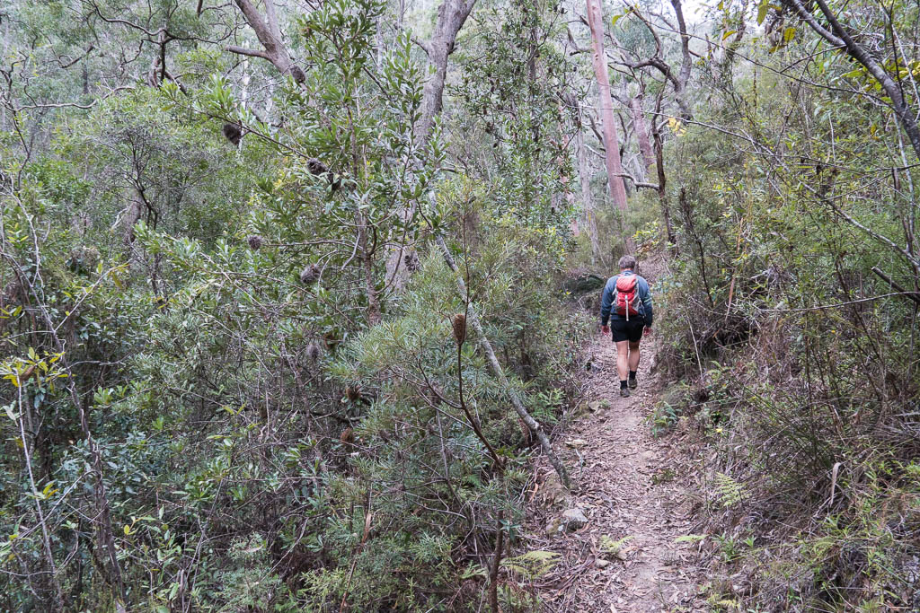
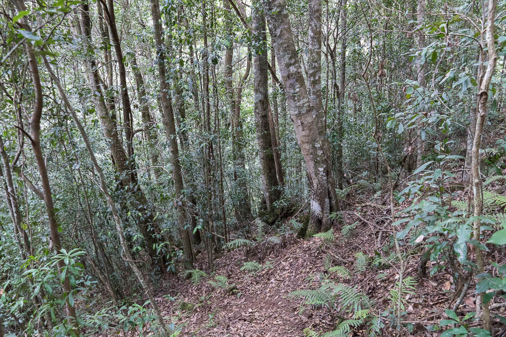
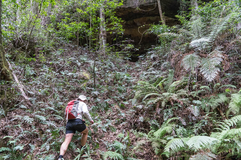
Above - Bob on the first part of the track

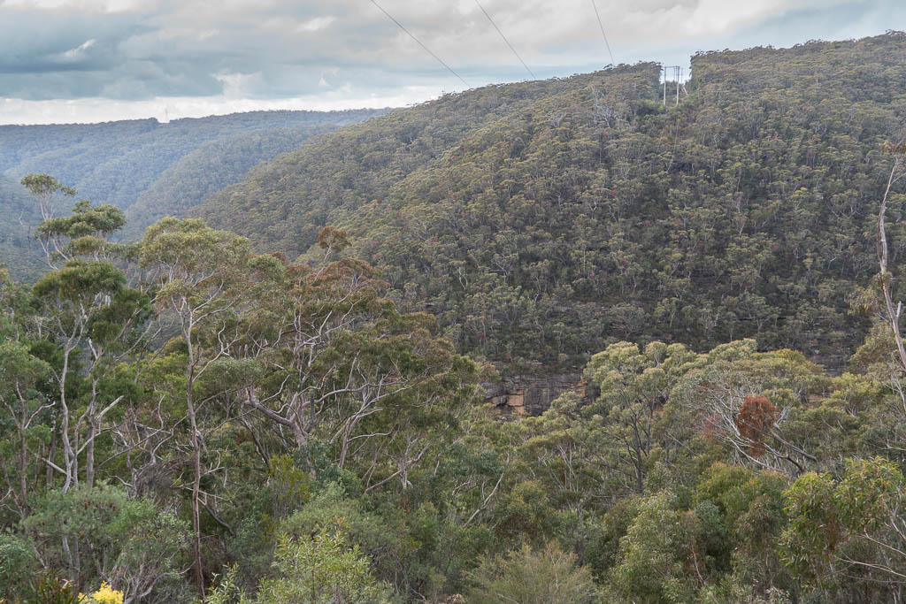
Above - View down to Burgess Glen


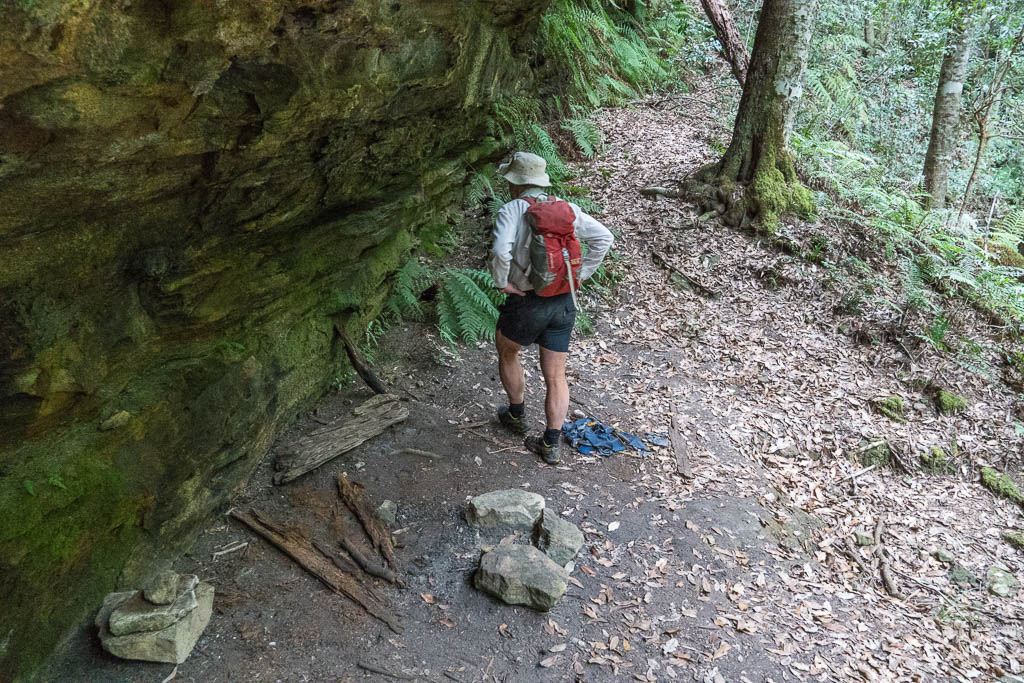
Above - Shelter Cave in Burgess Glen

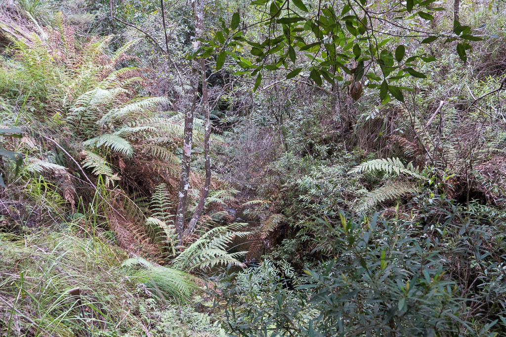
Above - Just below the creek crossing the creek drops down a short
waterfall into a section of canyon.
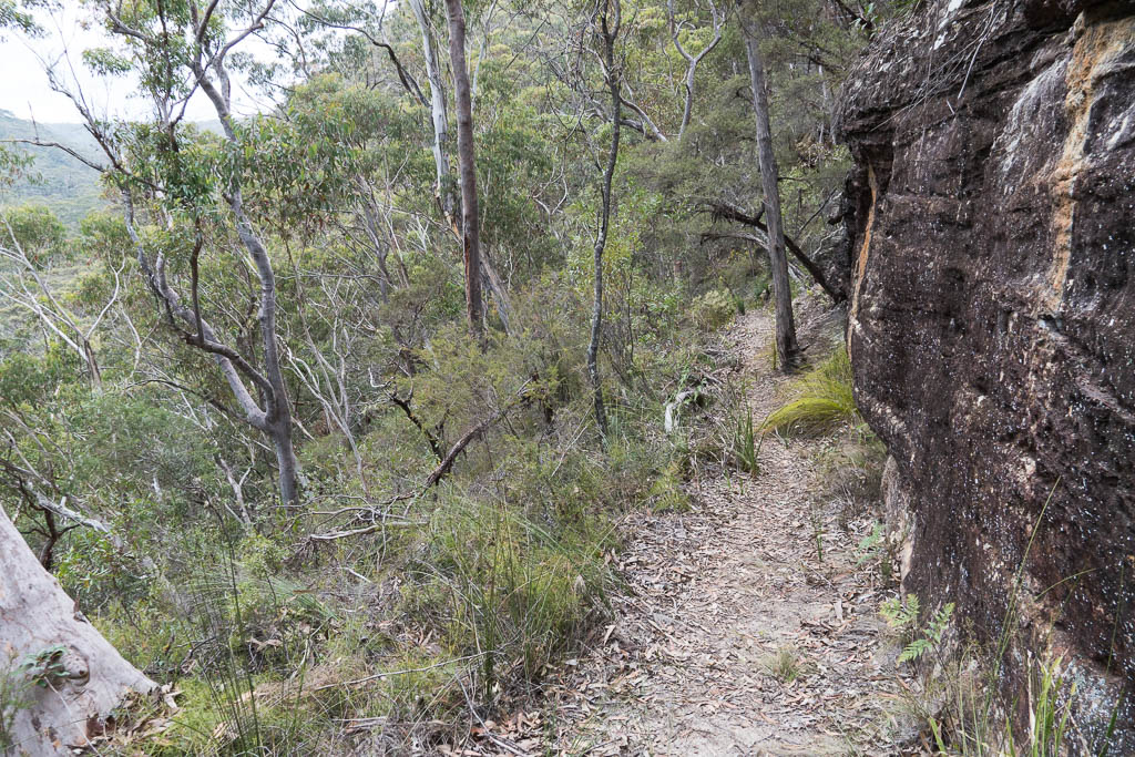
Above - The track follows ledges to a break in the cliffs
Above - looking down to Podgers Glen
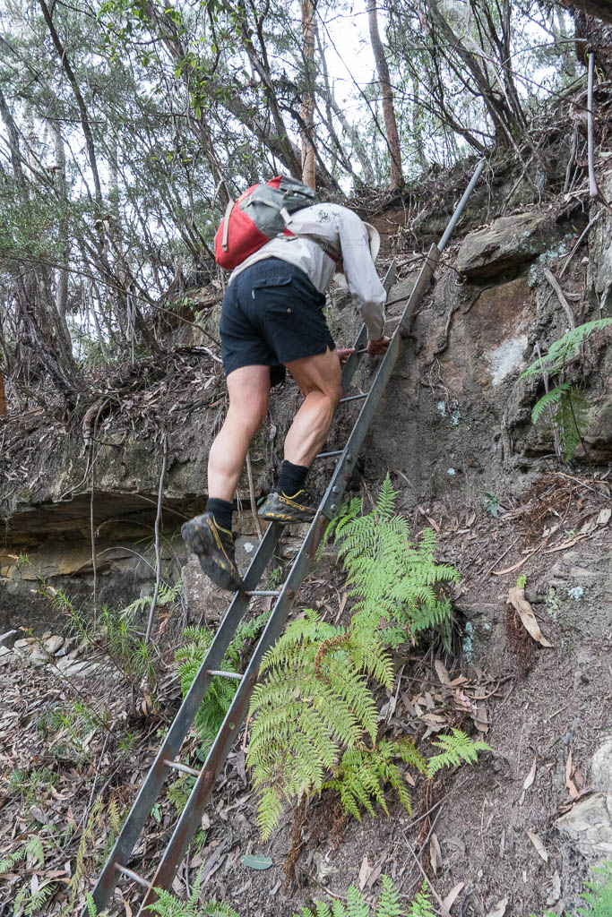
Above - Bob on the first of three ladders (there was a fourth ladder
on the other side)

Above - Podgers Glen
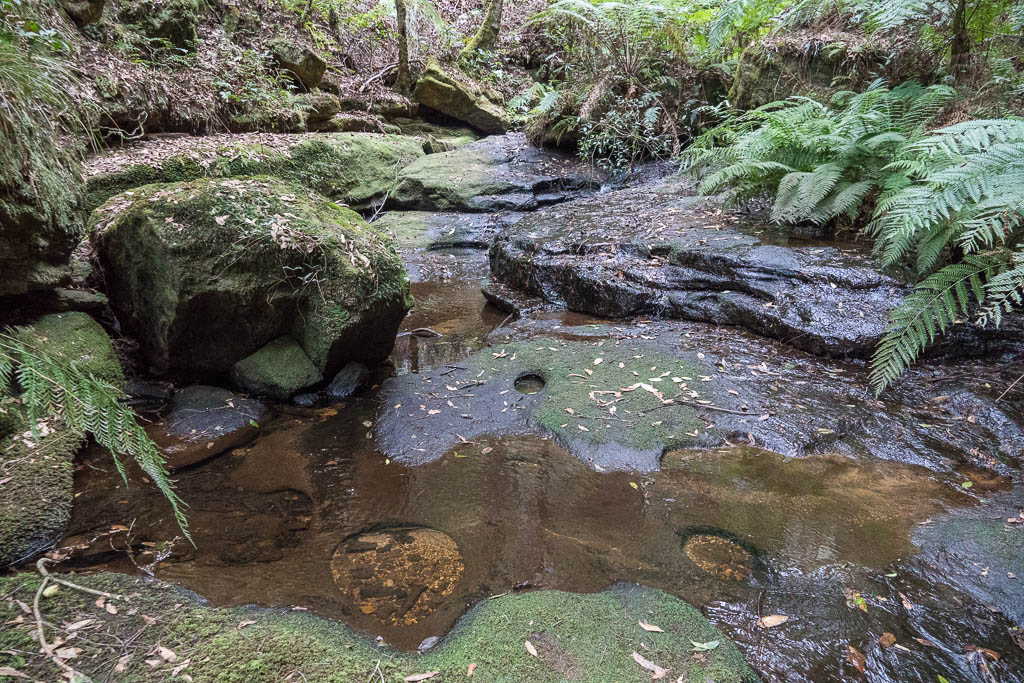
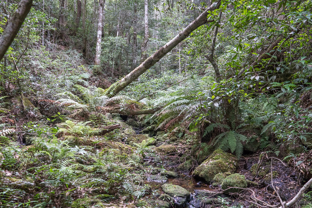
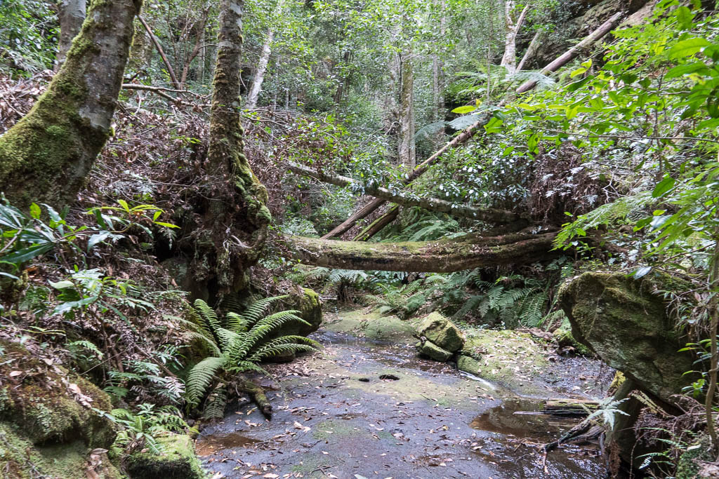
Above - Creek on the way up to Lawson Cave Falls

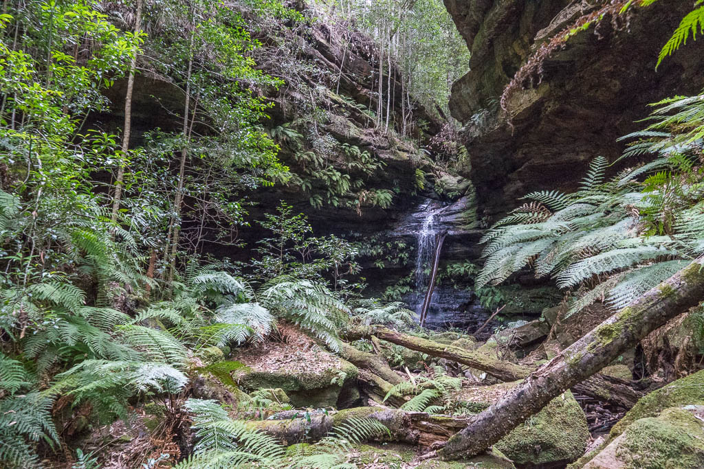
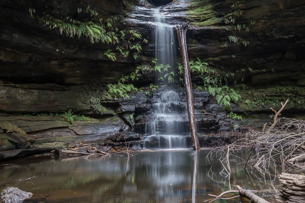
Above - Lawson Cave Falls

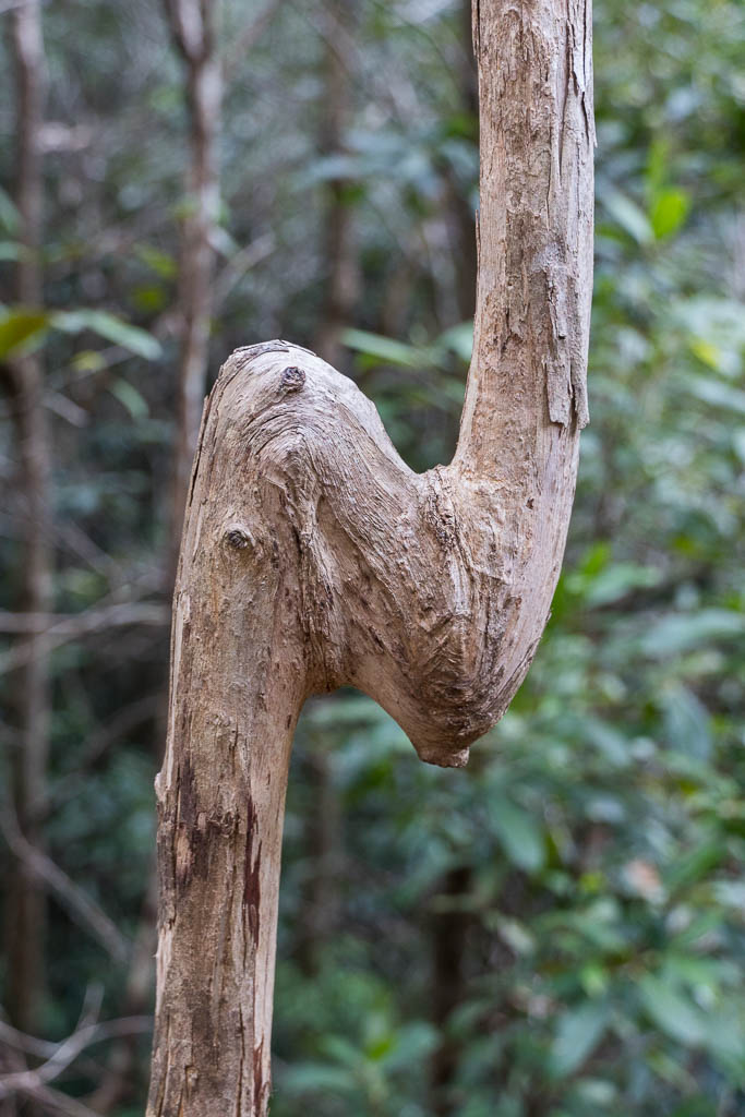
Above - nearby is this small cave

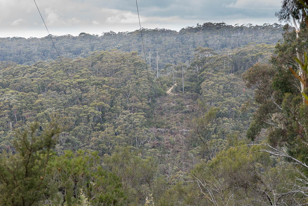
Above - View north from Kent Road firetrail - looking at Mt Banks,
Mt Hay and Mt Tomah
Return to david-noble.net