Colo River Walk - 28 - 29 October 2017
All images © David Noble. No image can be used for any purpose
without permission.
Route - Mountain Lagoon - Mailes Ridge - Colo Meroo - Colo River -
Tootie Creek Junction - T3 Track - Mountain Lagoon
Party - Wendy, Martin, Steffy, Dave N

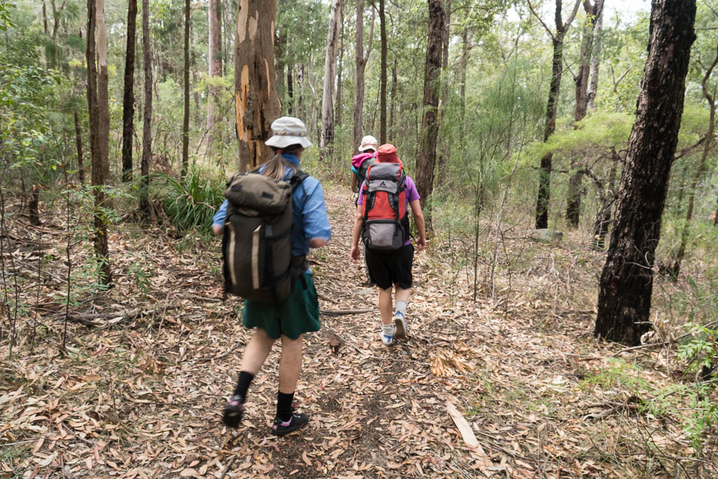
Above - On the Gospers Ridge Firetrail on the way to Mailes Ridge
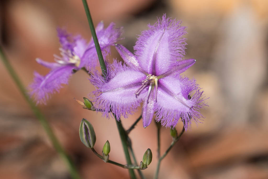
Above - Fringe Lilly
Above - On Mailes Ridge

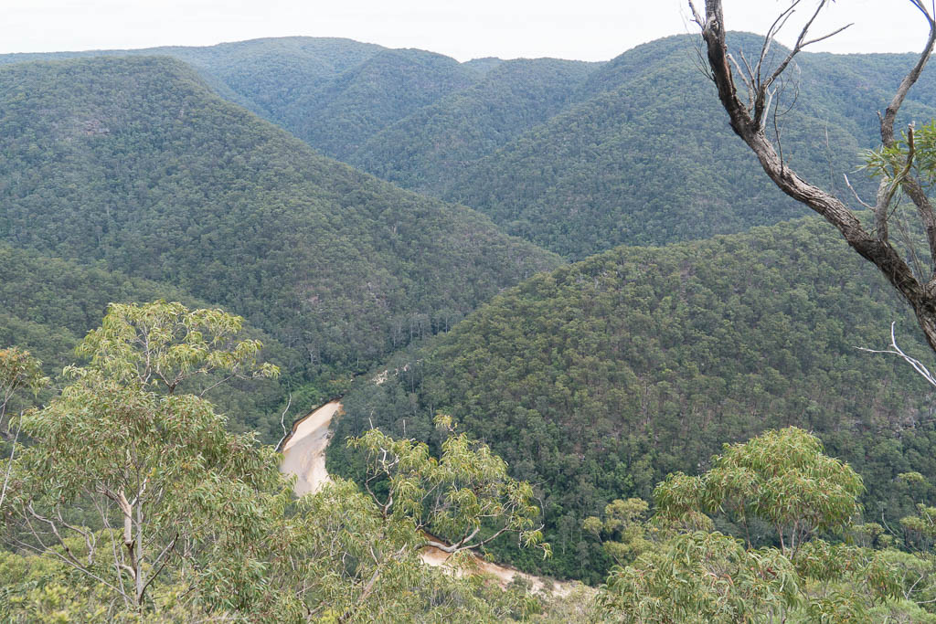
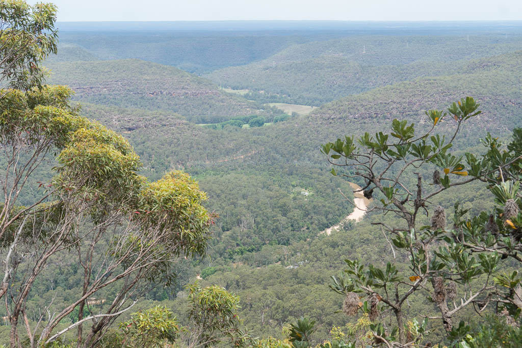
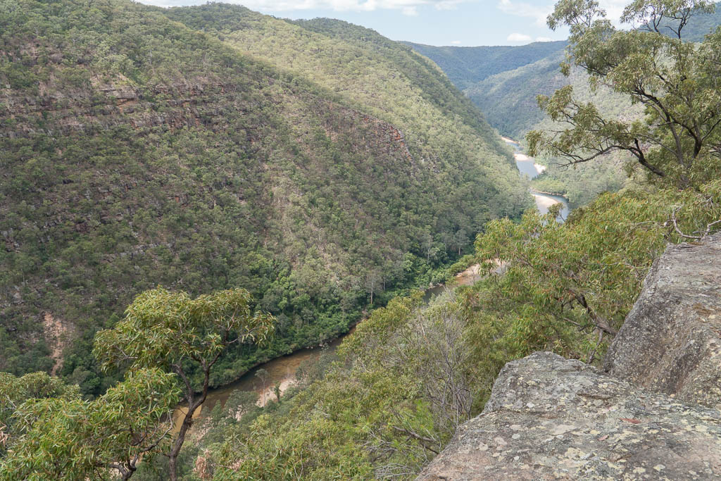
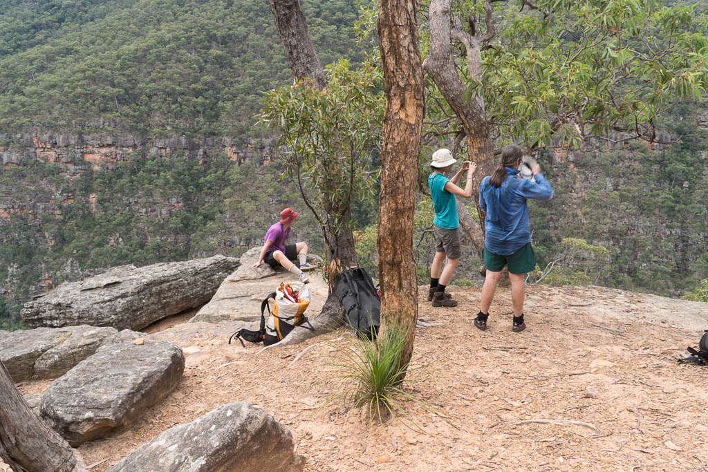
Above - A nice lookout overlooking the Colo River
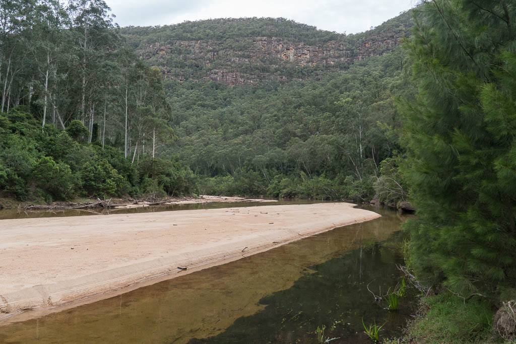
Above - The Colo River

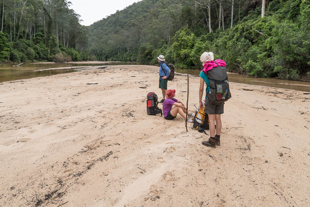
Above - That evening, we camped at the grassy spots to the left of
the big sandbank on the bend
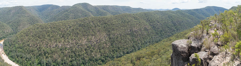
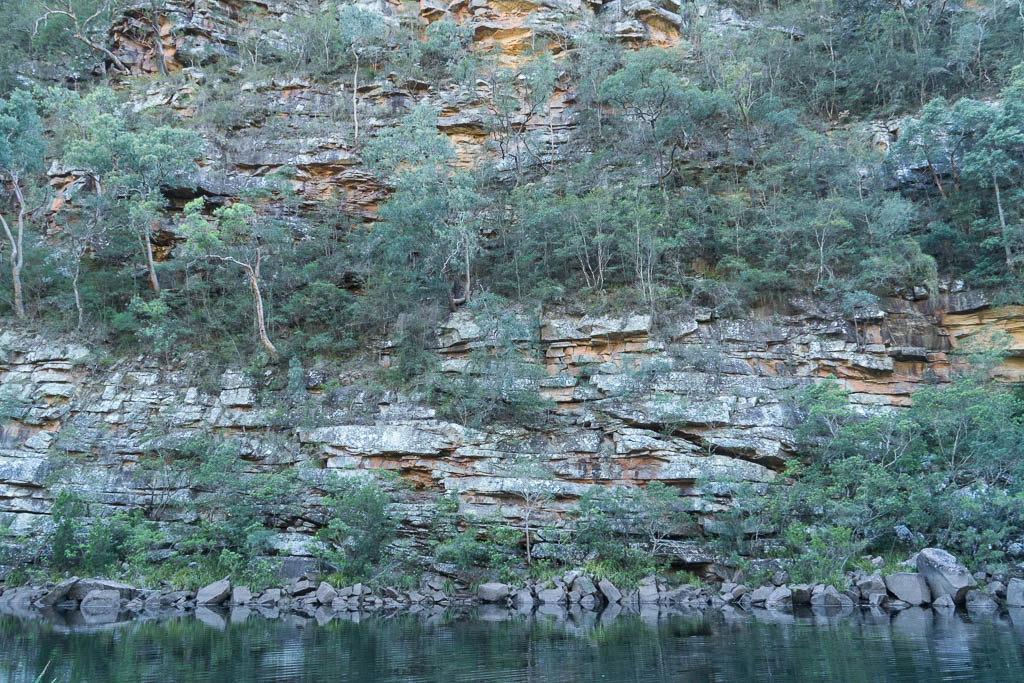
Above - Panorama - Colo Gorge

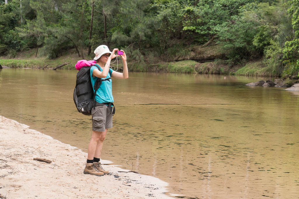
Above - Wendy photographing
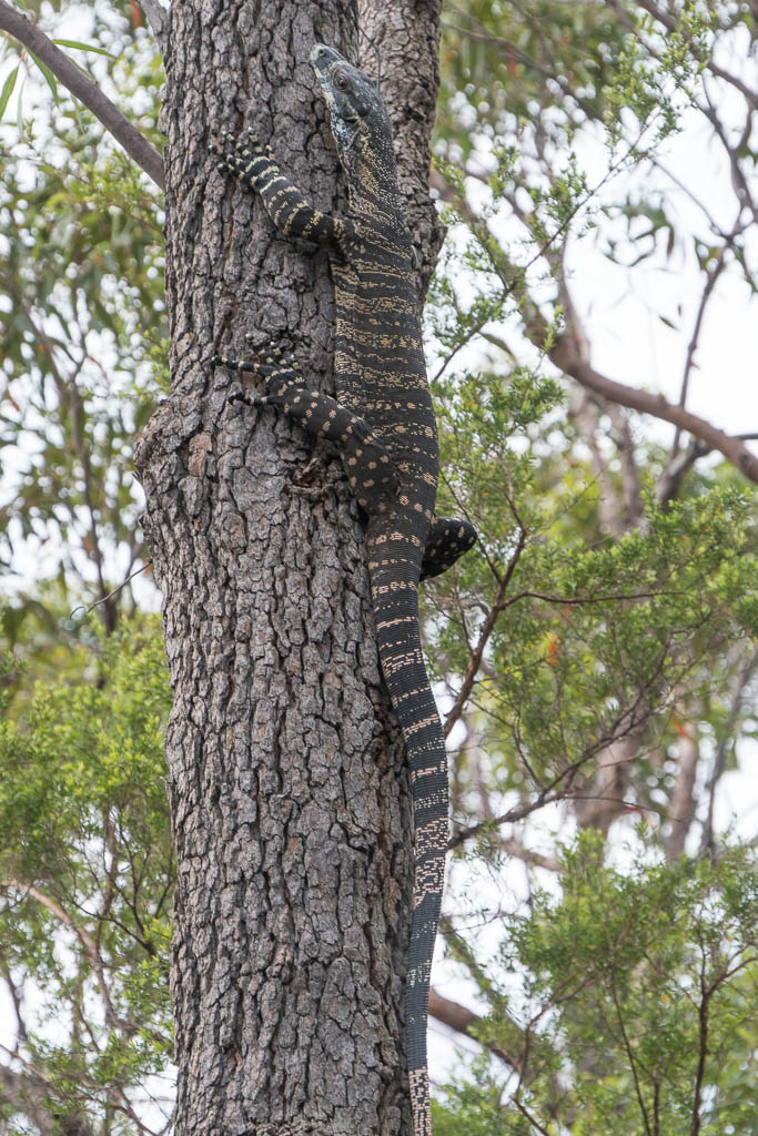
Above - One of many goannas that we saw
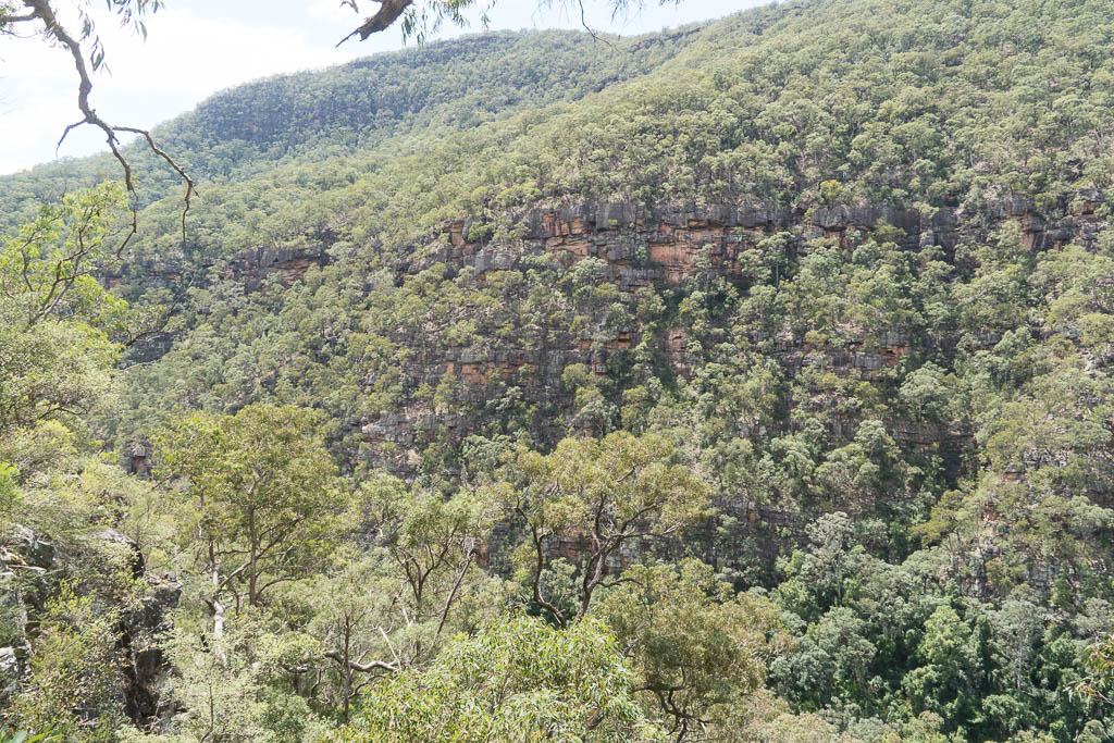
Above - From the end of Mailes Ridge - looking down to the farms of
the lower Colo
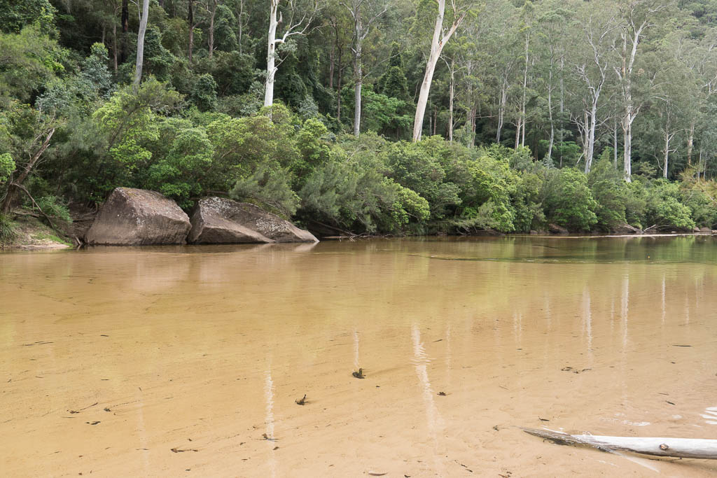
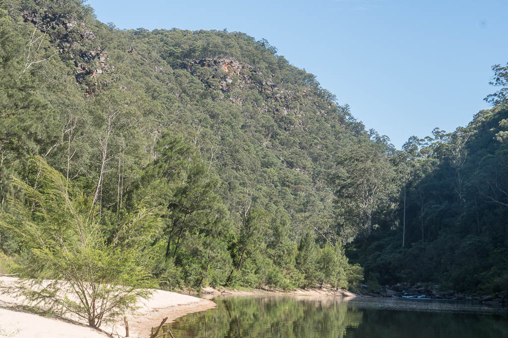
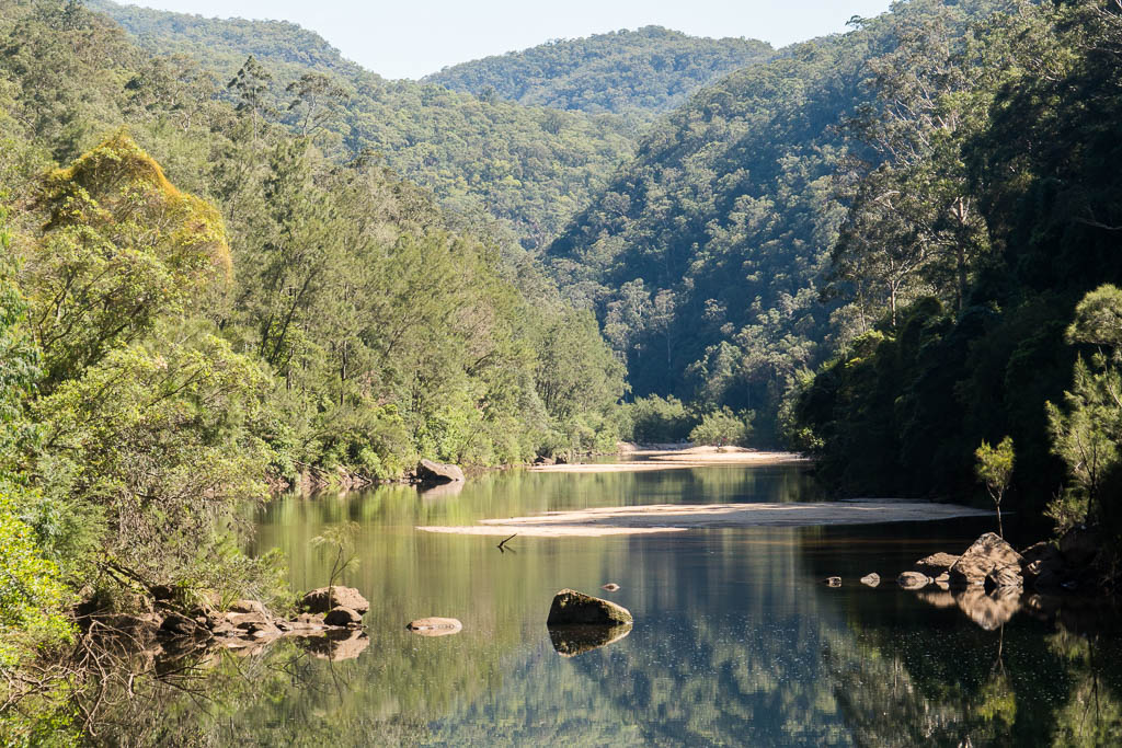
Above - Colo River near Colo-Meroo
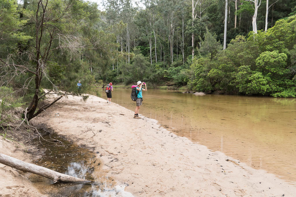
Above - Wendy photographing
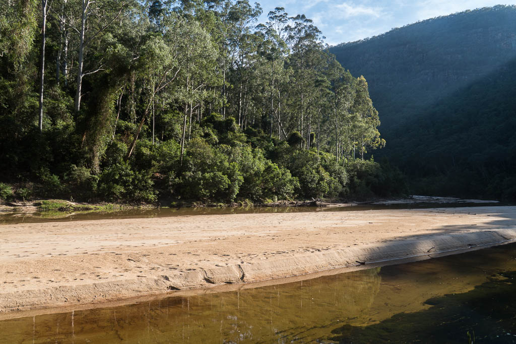
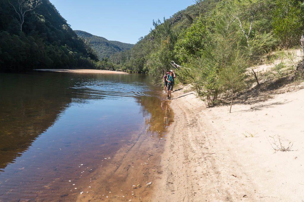
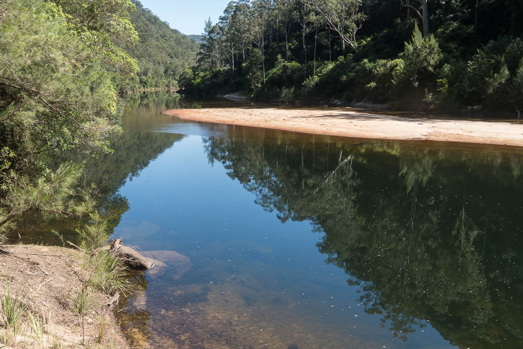
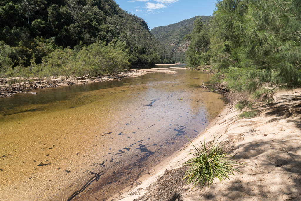
Above - Colo River. Shallow and sandy.
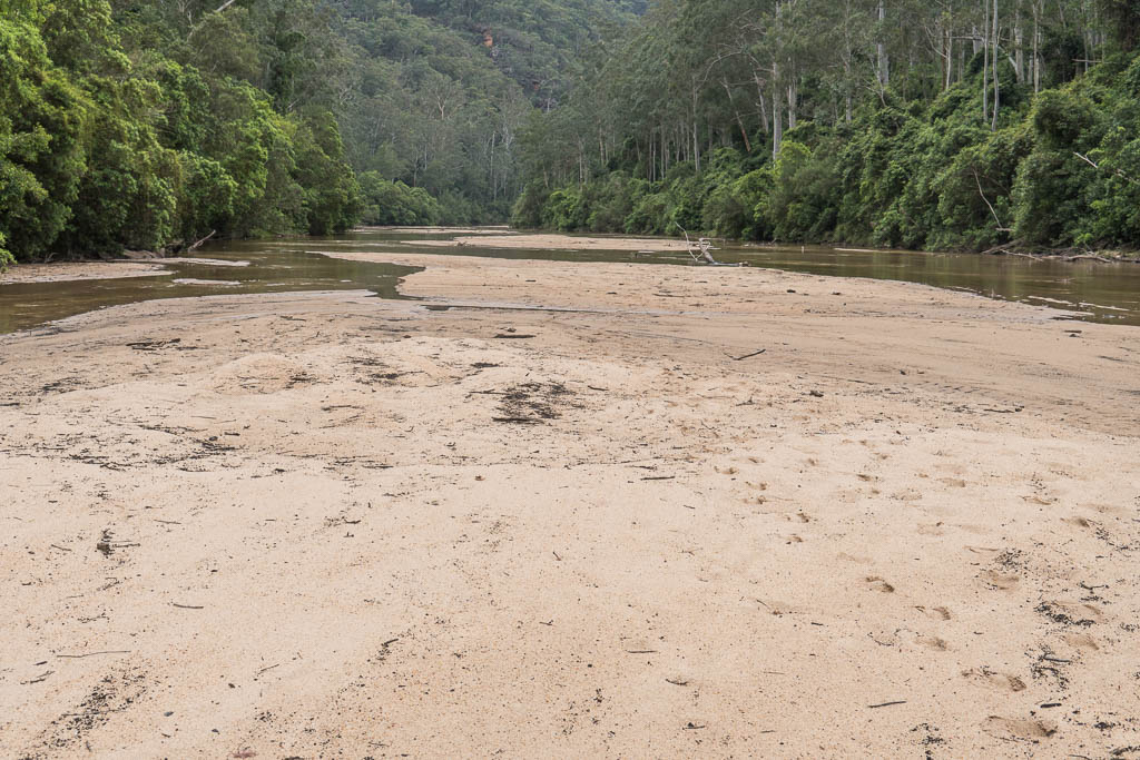
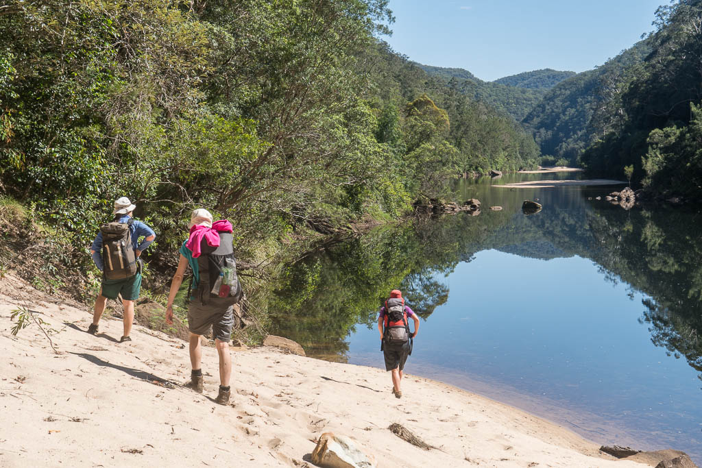
Above - Typical Colo River along the first 5 km section to the bend.
Easy, but tiring walking across the sand banks and shallow water,
with the occasional bit of quicksand to contend with.
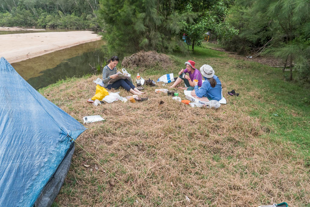
Above - Our campsite
Above - Looking up to Mailes Ridge
Above - Dawn - Colo River
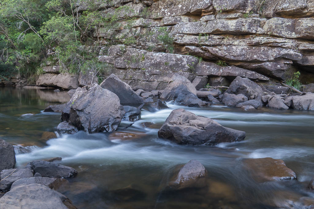
Above - Colo rapids
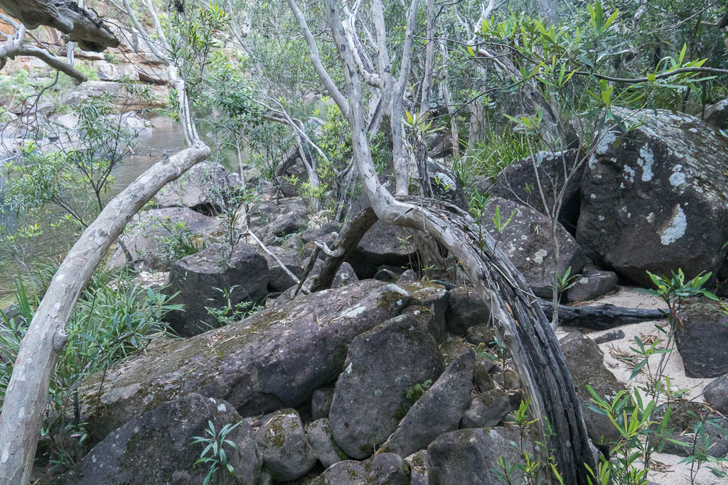
Above - Water Gums
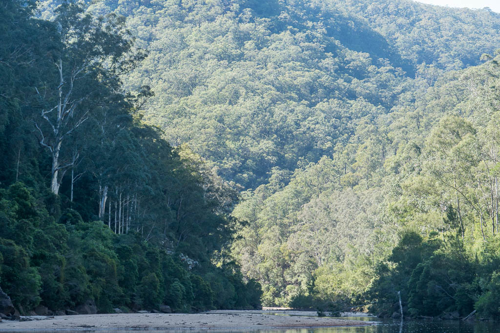
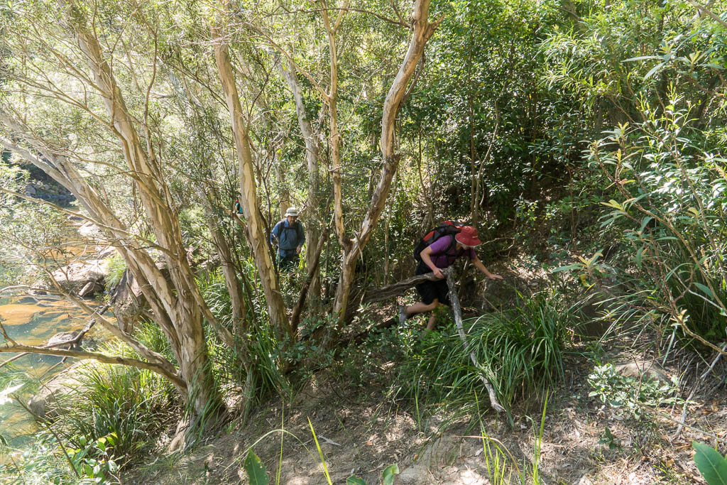
Above - Along the section from the bend to Tootie Creek - the pools
were deeper and the banks steeper. But most of the walking was not
too bad.

Above - Ttoite Creek junction is at the end of this reach

Above - Rapids near Tootie Creek
Abve - Lookimg downstream
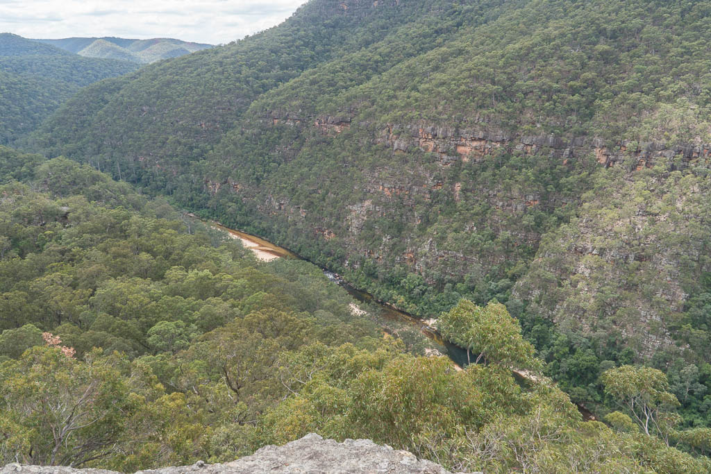
Above - Views from the climb out up the T3 Track
Return to david-noble.net