Dunphy Kowmung Adventure 26 September - 6 October 2014
Stage 3 - Dingo Dell to Top of the Uni Rover Trail
All images © David Noble. No image can be used for any purpose
without permission.
Day 5 - Dingo Dell to the Kowmung River - then up to Megalith
Ridge and back down to the Kowmung River
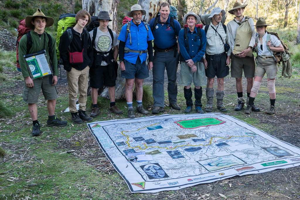
Above - the party for stage 3 - Milo, Tallai, Kalang, Dave, Peter,
Warwick, Keith, Alex and Sierra.
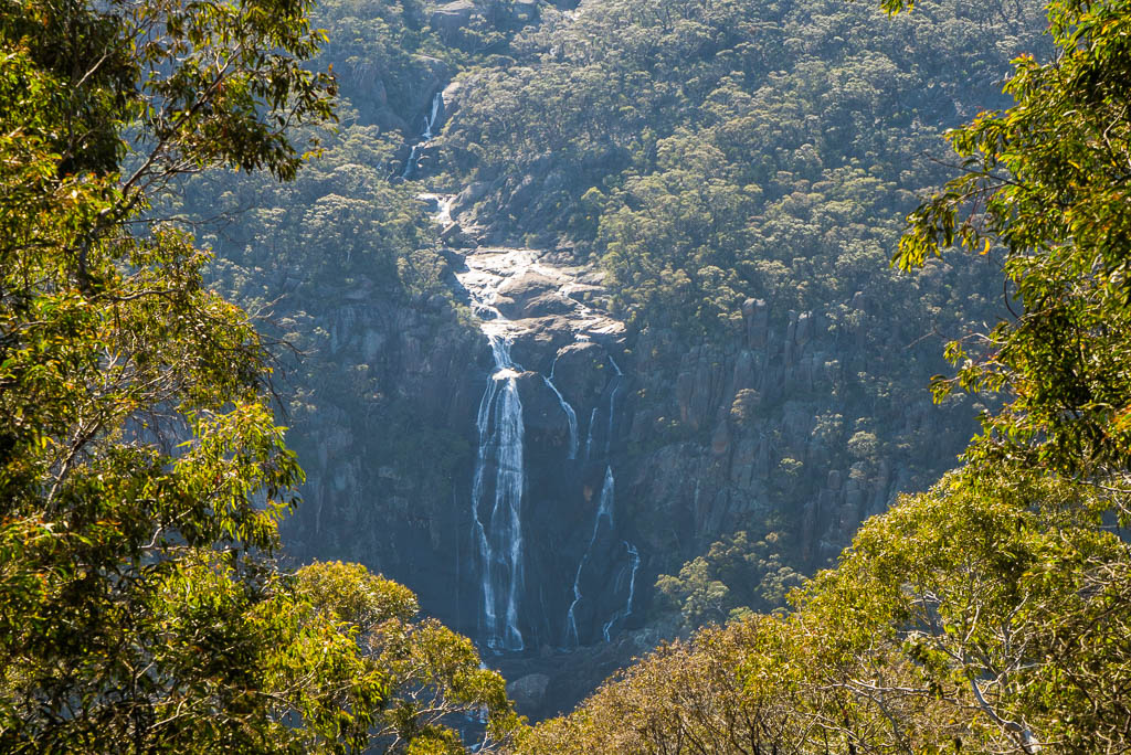
Above - Morong Falls from the Banshee Fire Road - much the same view
as Myles photographed 100 years earlier.
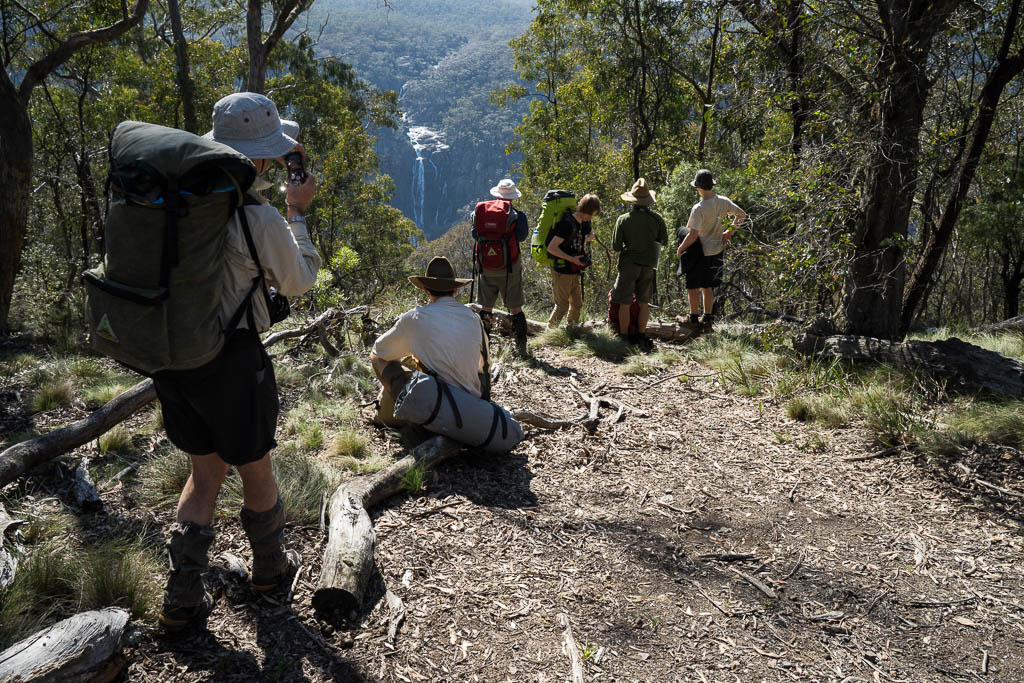
Above - on the Banshee Fire Road
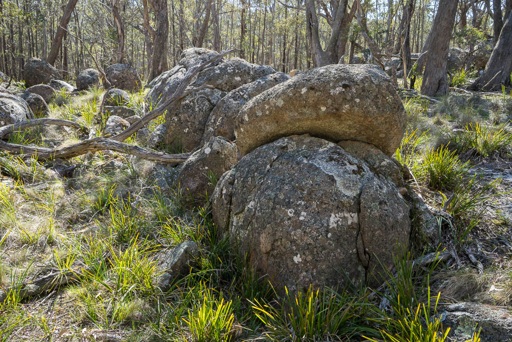
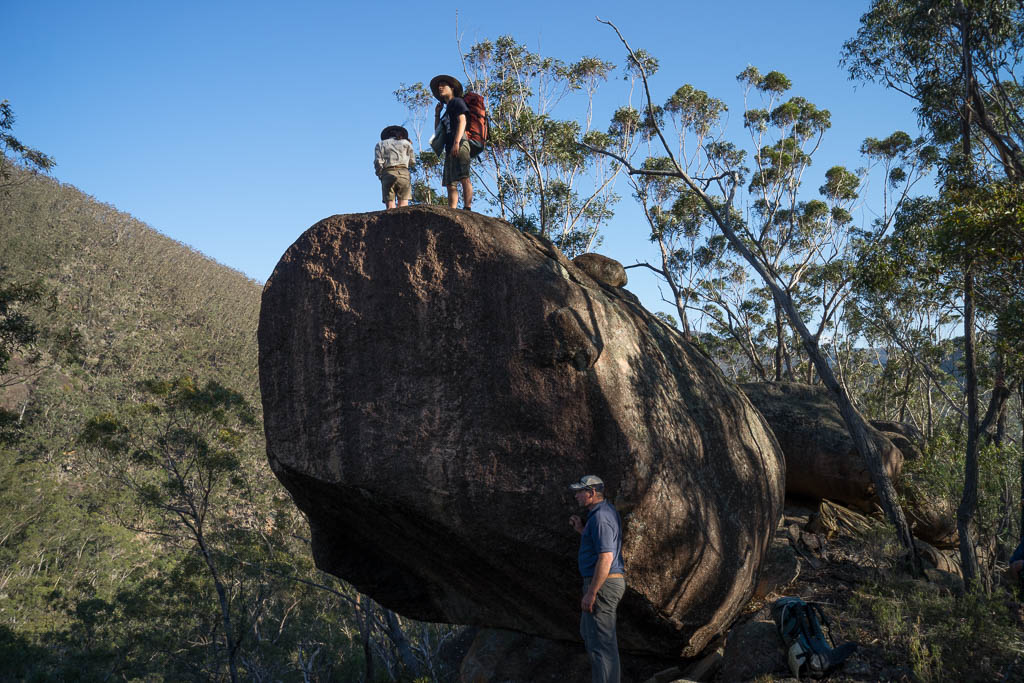
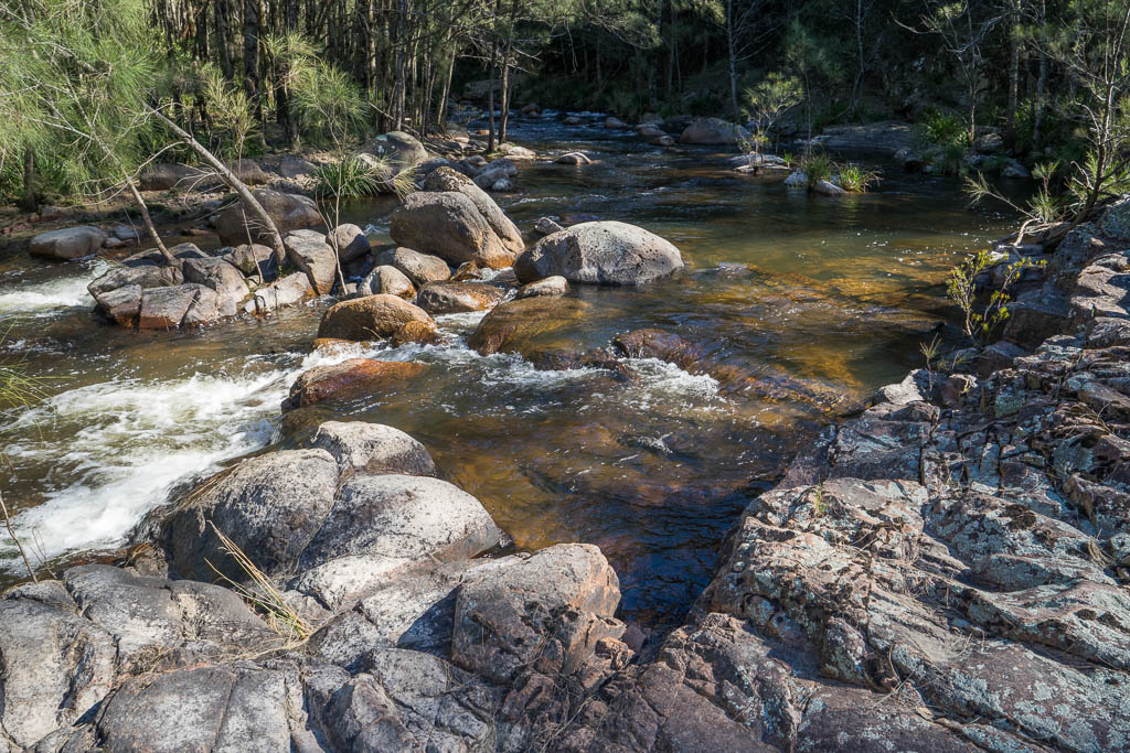
Above - Granite boulders
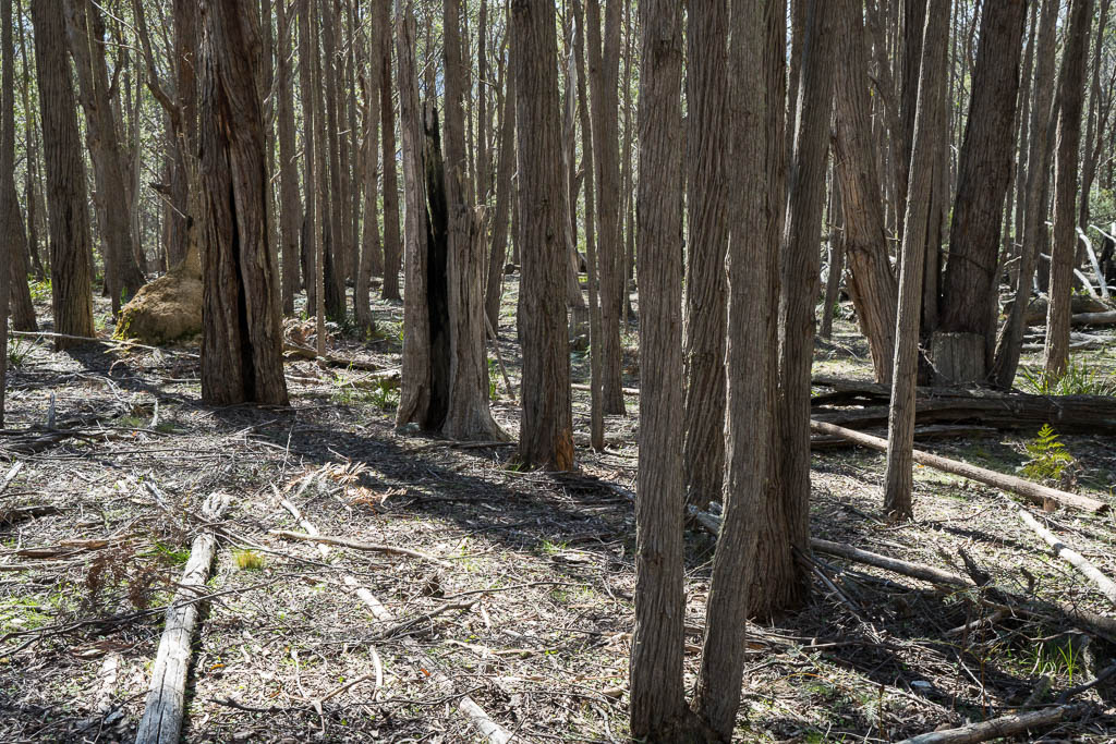
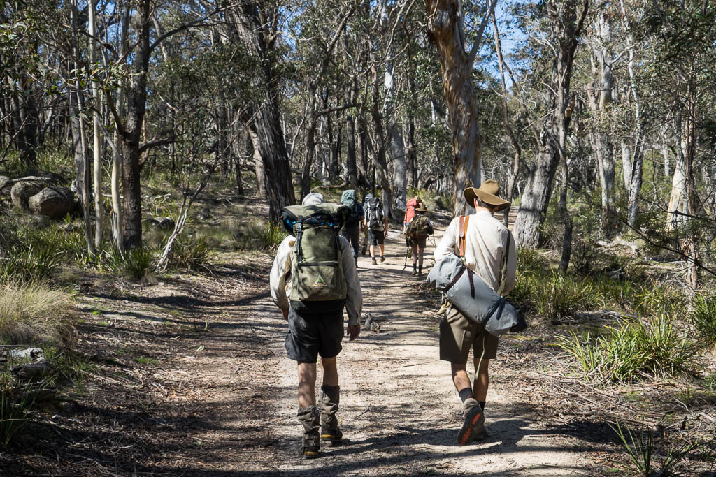
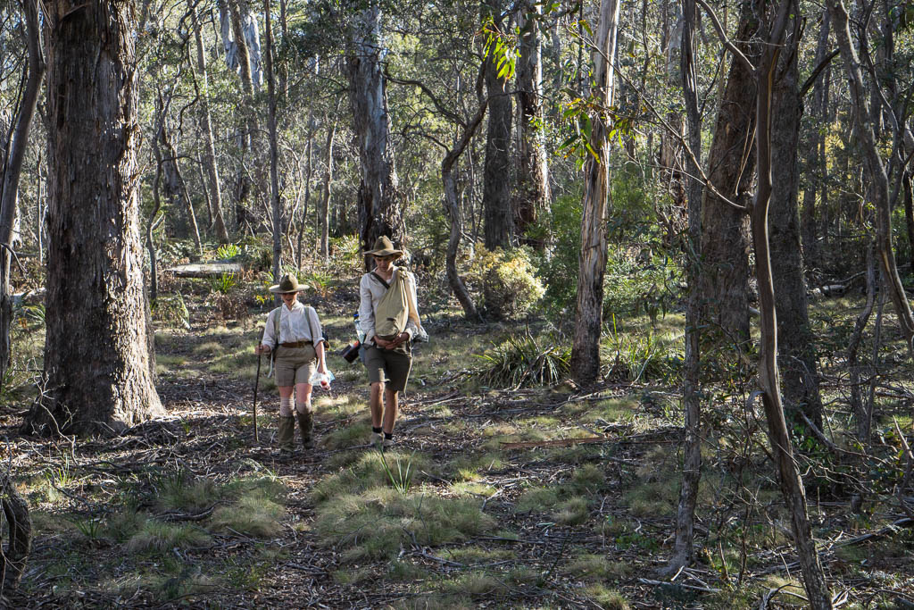
Above - open forest
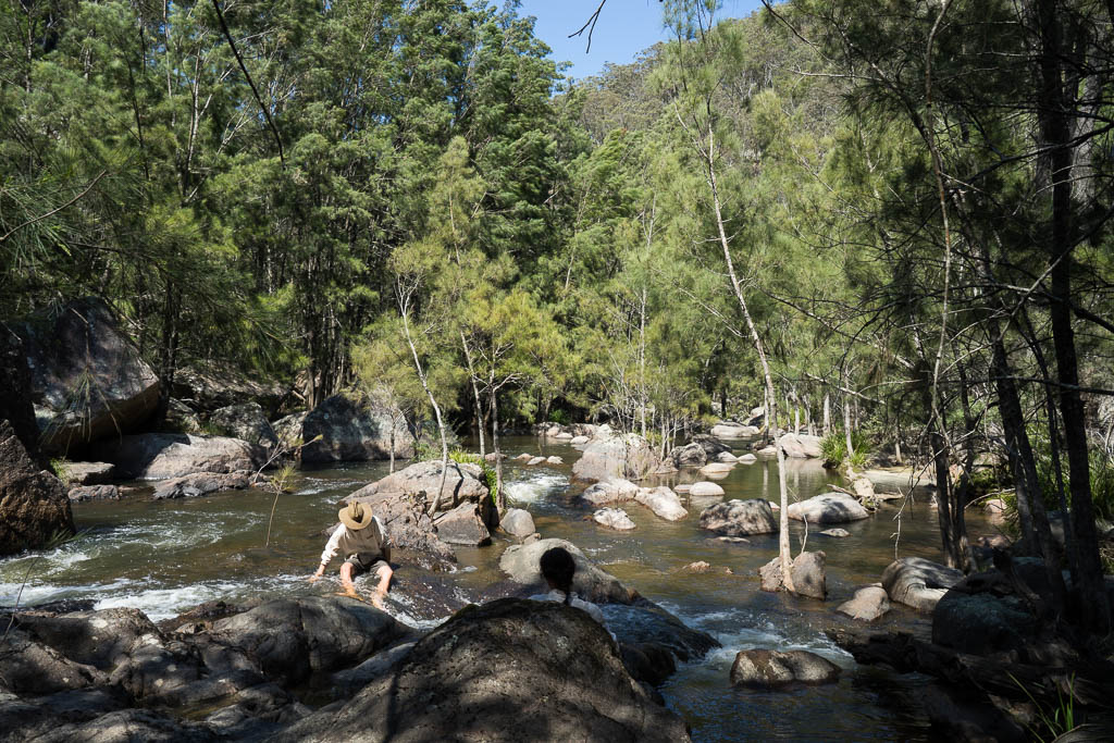
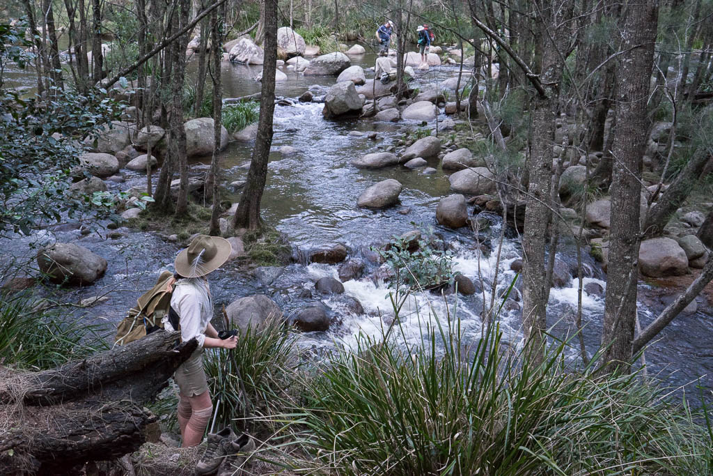
Above - Alex and Sierra cooling off in the Kowmung River - near
Peatfields Gully.
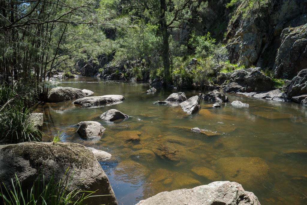
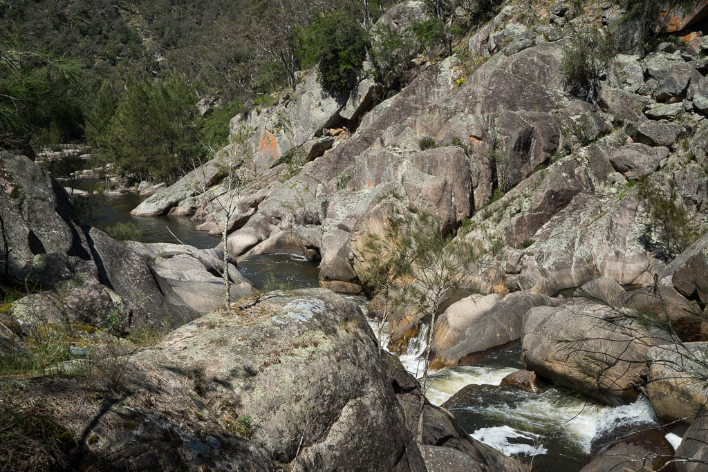
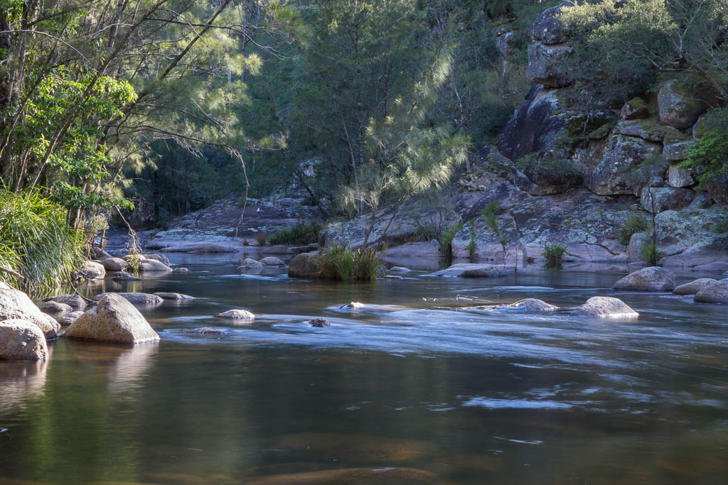
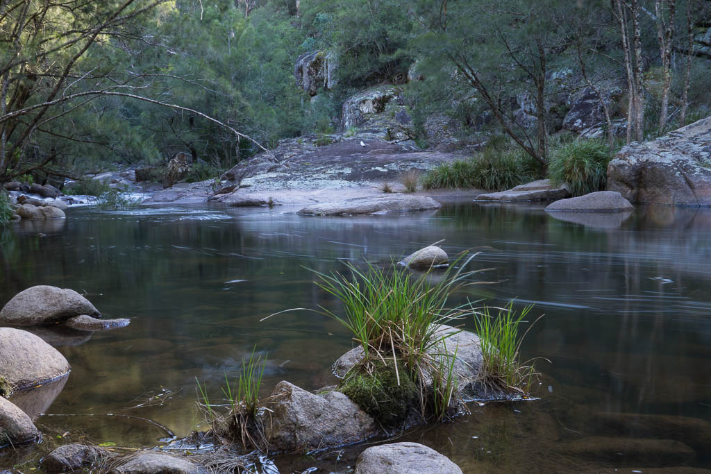
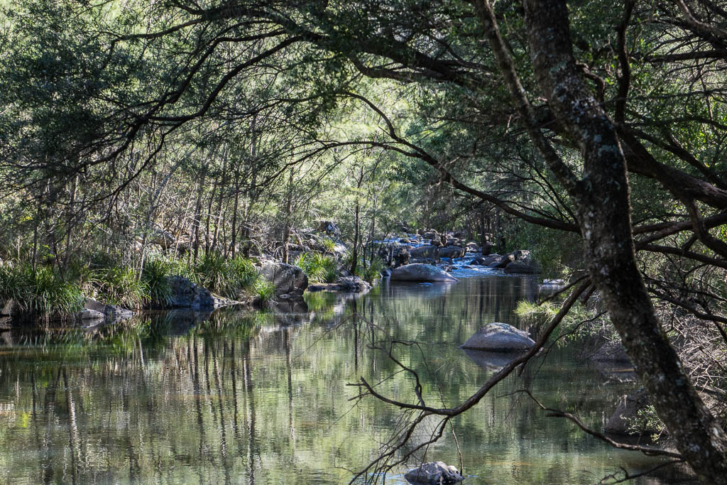
Above - The Kowmung River
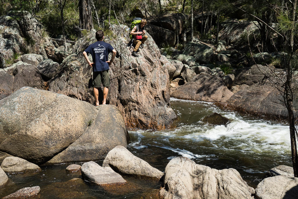
Above - Milo and Tallai crossing the Kowmung River
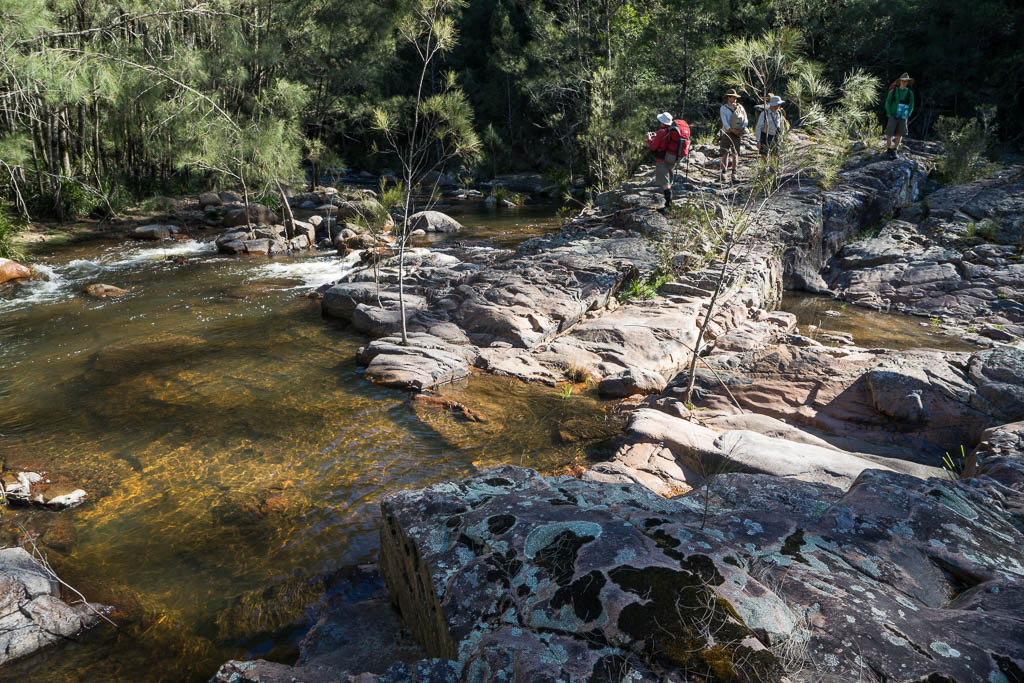
Above - a granite gorge downstream. We climbed out at this point.
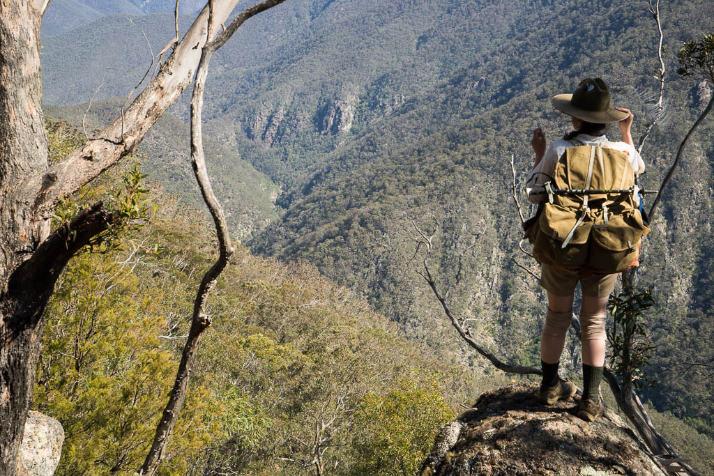
Above - Sierra looking down into the Kowmung Gorge
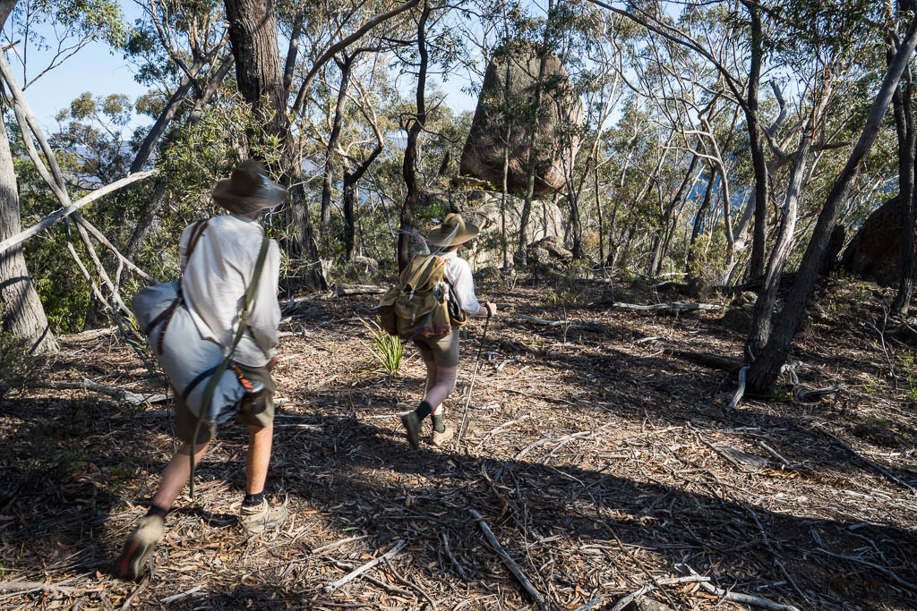
Above - We followed Myles and Bert's original route down Megalith
Ridge
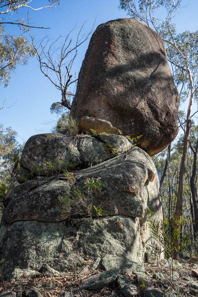
Above - Granite Tor
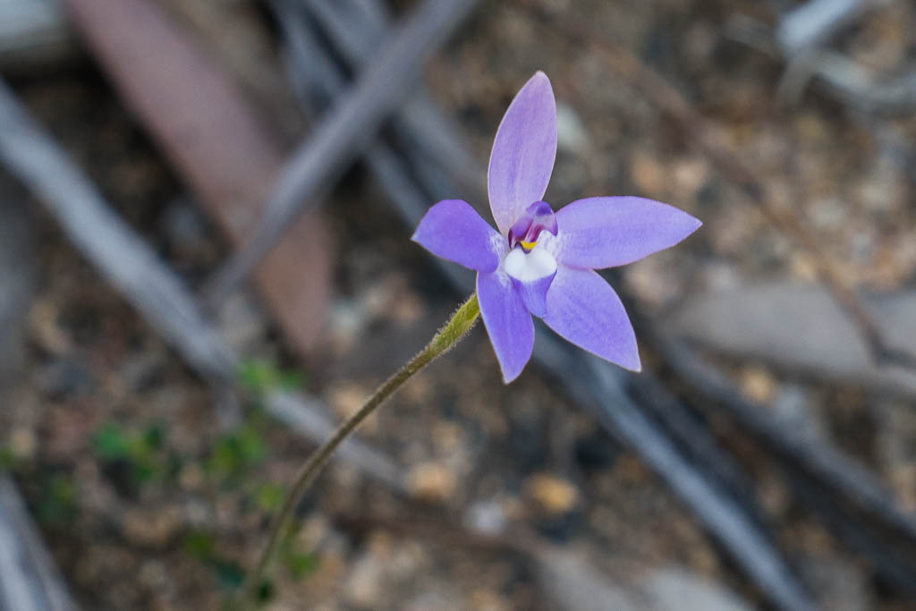
Above - Waxlip Orchid (Glossodia major) - thanks Chris
Jonkers for the id.
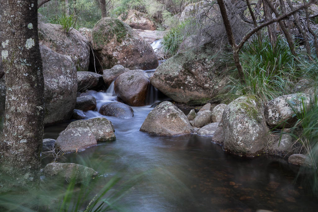
Above - Hanrahans Creek, near the Kowmung River
Above - Keith found a good campsite on the west side of the river -
so we had to cross at the bottom of Megalith Ridge
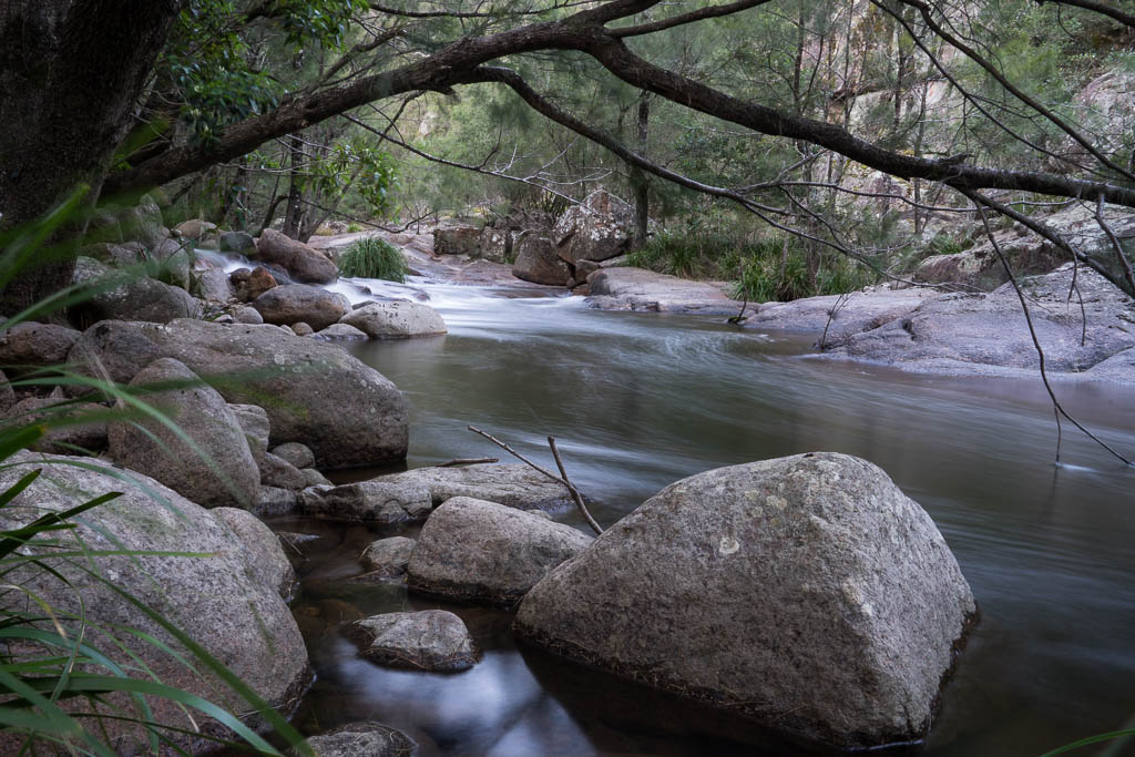
Above - The Kowmung River
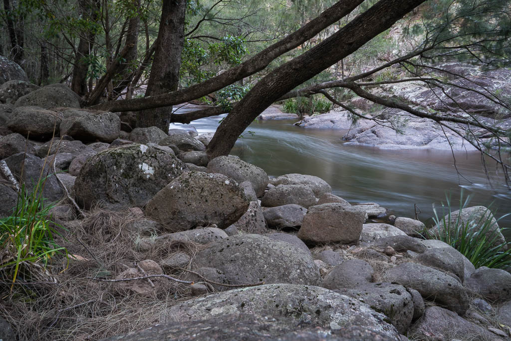
Above - The Kowmung River
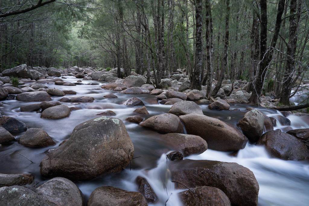
Above - The Kowmung River
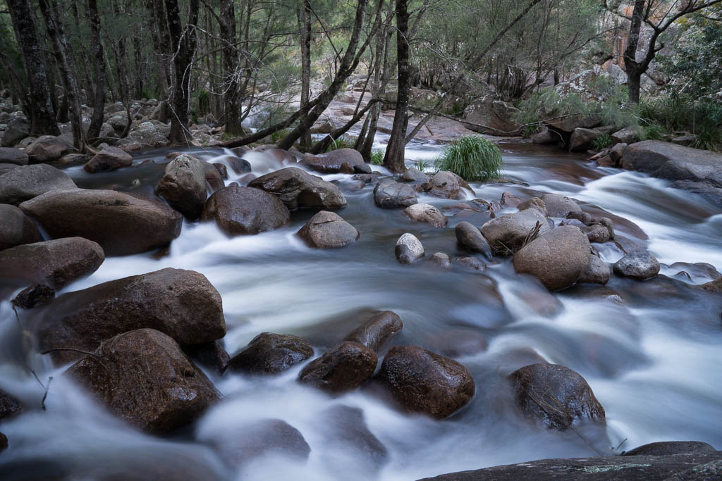
Above - The Kowmung River
Day 6 - Kowmung River - Misery Ridge - Lost Rock - Uni Rover
Trail to the Boyd Plateau
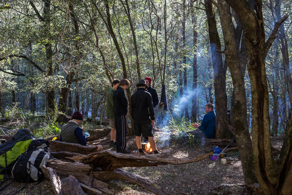
Above - at our campsite
Above - The Kowmung River
Above - The Kowmung River
Above - The Kowmung River
Above - The Kowmung River
Above - The Kowmung River
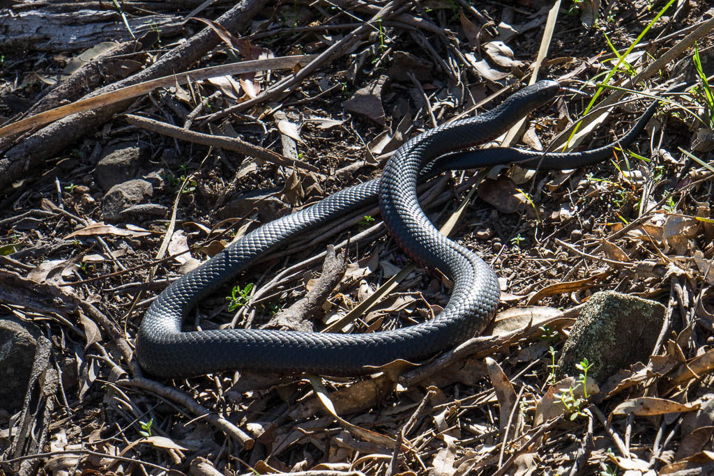
Above - warming up in the sun - this nice red belly black snake
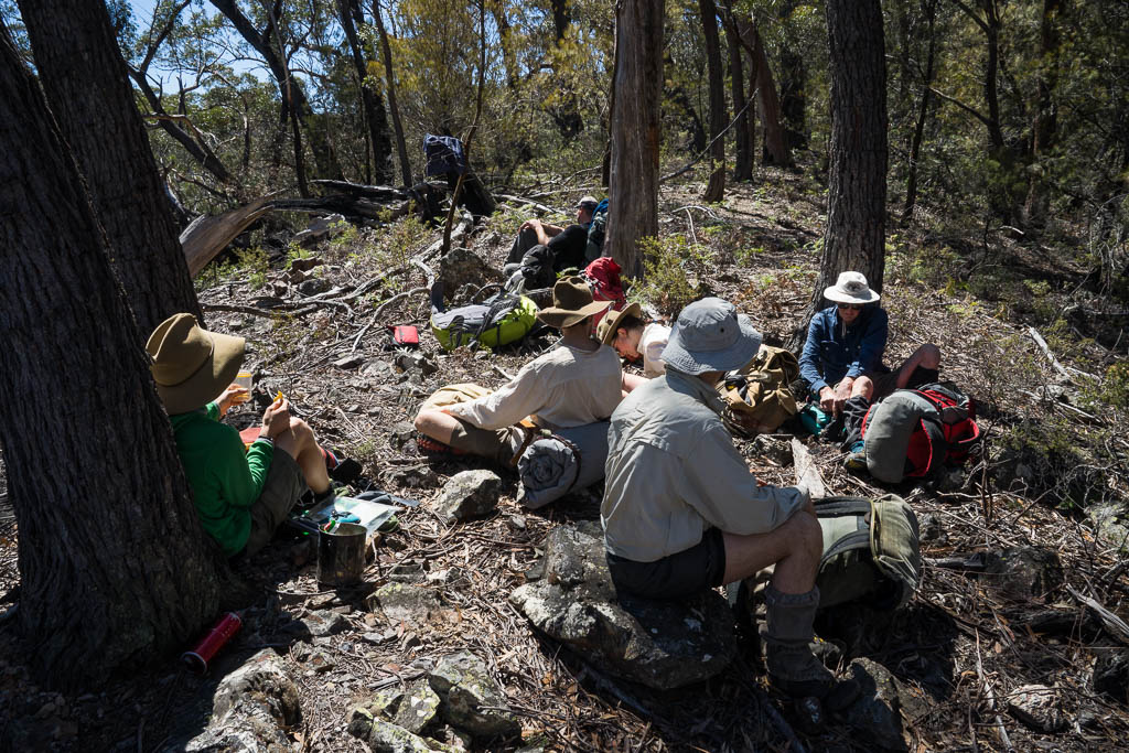
Above - Lunch on Misery Ridge
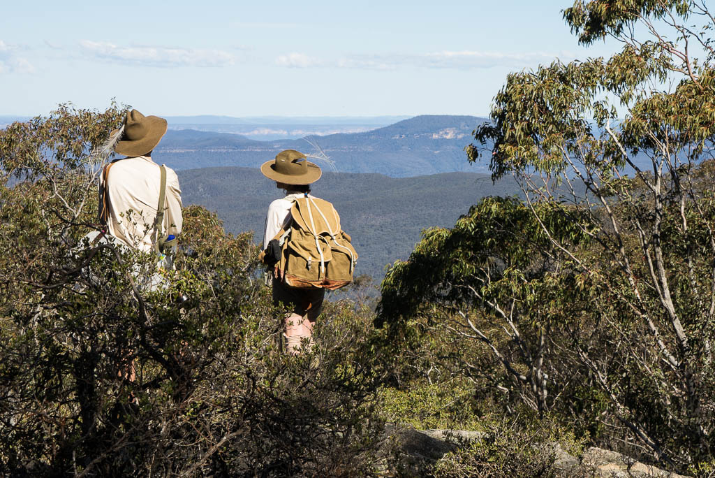
Above - Alex and Sierra looking towards Mt Colong from Lost Rock.
Myles and Bert camped near here and then explored the area, but then
could not find their tent for a long time. Mt Colong was the area
for a major conservation battle in the 1960 when a huge limestone
mine was proposed under it on Mt Armour. The conservation battle was
championed by the newly formed Colong Committee led by Milo Dunphy,
son of Myles. The Colong Committee is now the Colong Foundation for
Wilderness. One of its next battles was save the nearby Boyd Plateau
from becoming a pine plantation.
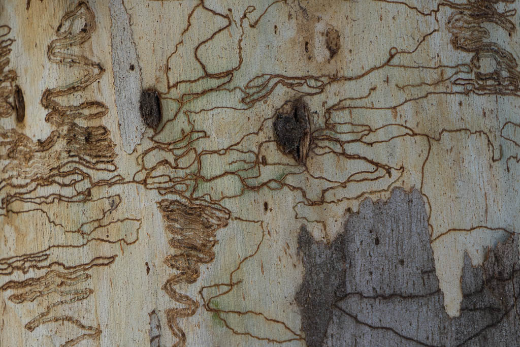
Above - scribbly gum
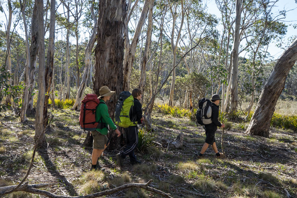
Above - The three brothers - Milo, Tallai and Kalang (triplets) on
the Boyd Plateau.

Above - the Boyd Plateau
Above - nearly at camp - Sierra and Alex
Continue to Stage 4
Return to the Menu Page
Return to david-noble.net