Lower Kowmung River - Gangerang Range Walk - Easter 2013
All images © David Noble. No image can be used for any purpose
without permission.
Page 2 of 2
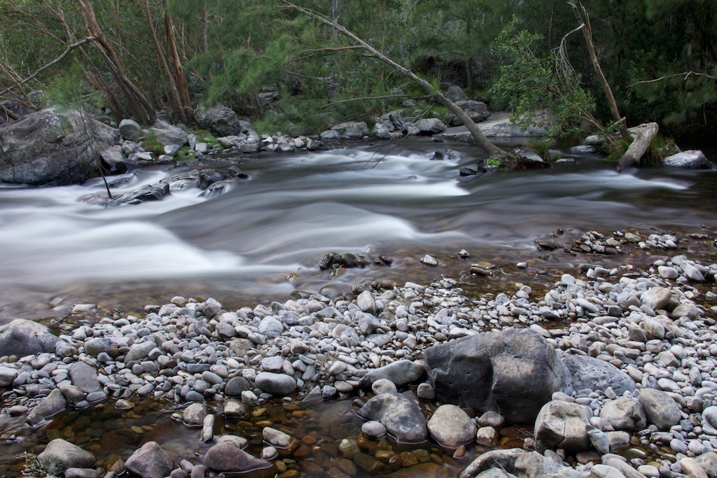
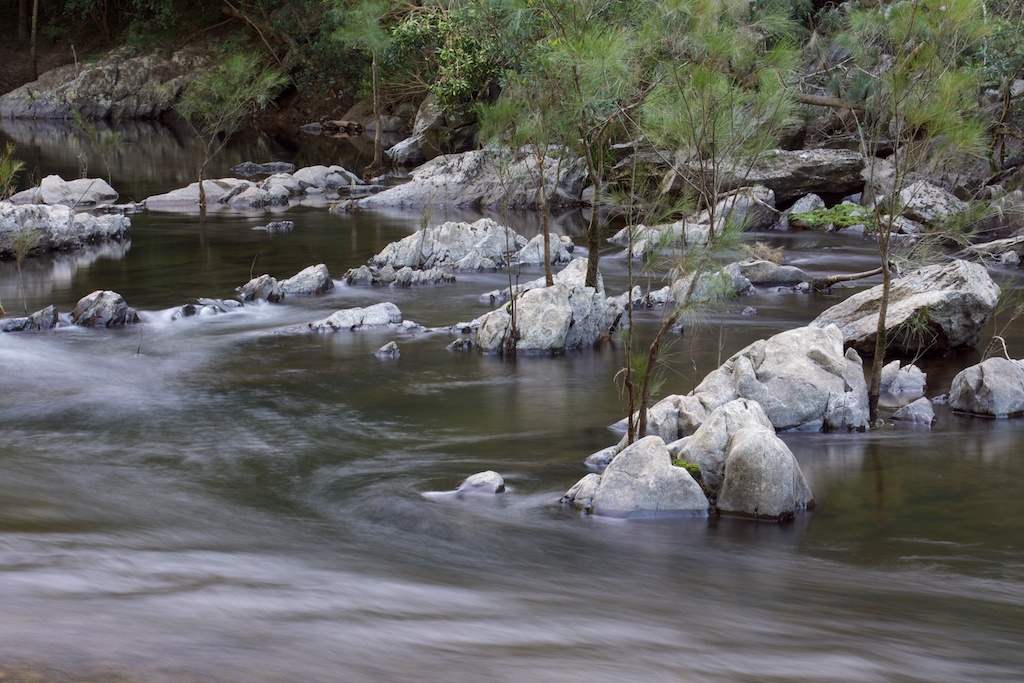
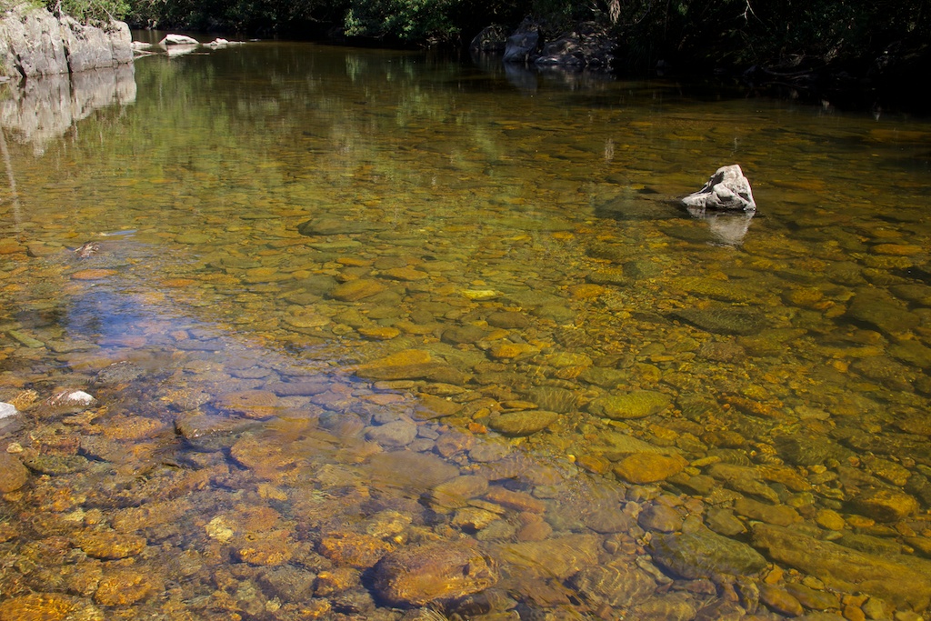
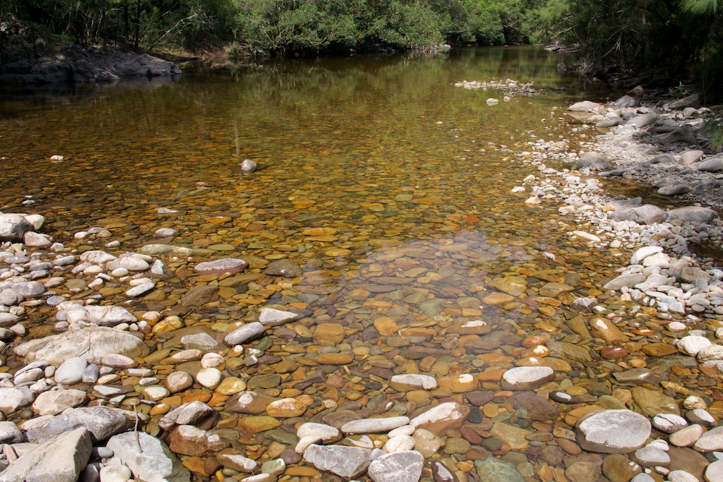
Above - Kowmung rapid
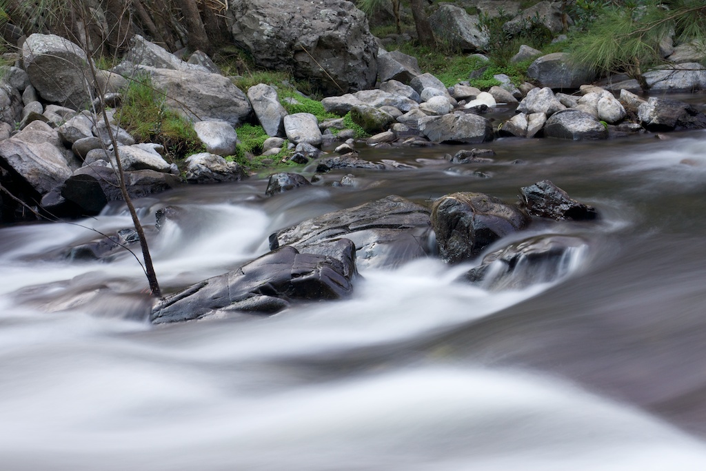
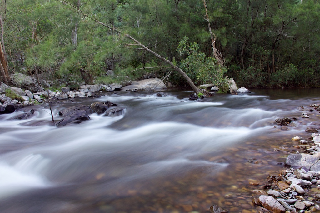
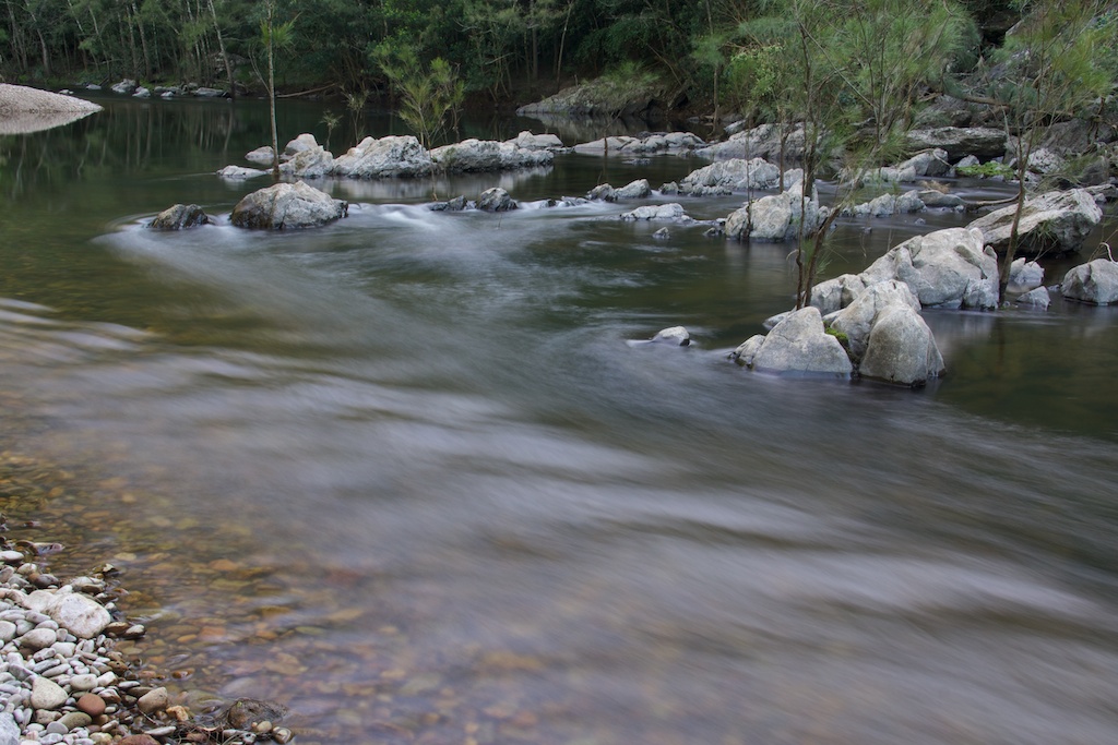
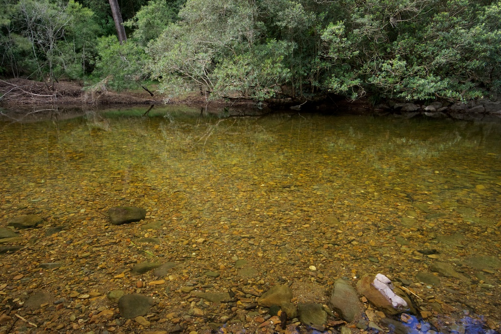
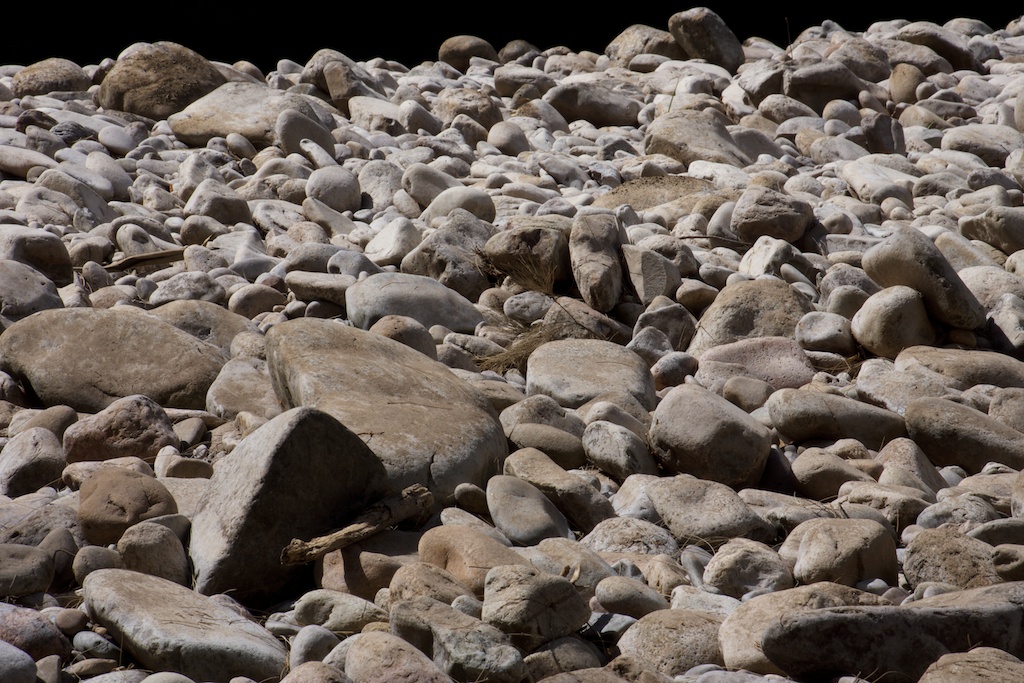
Above - one of many rocky rifts along the river
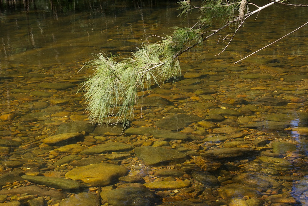
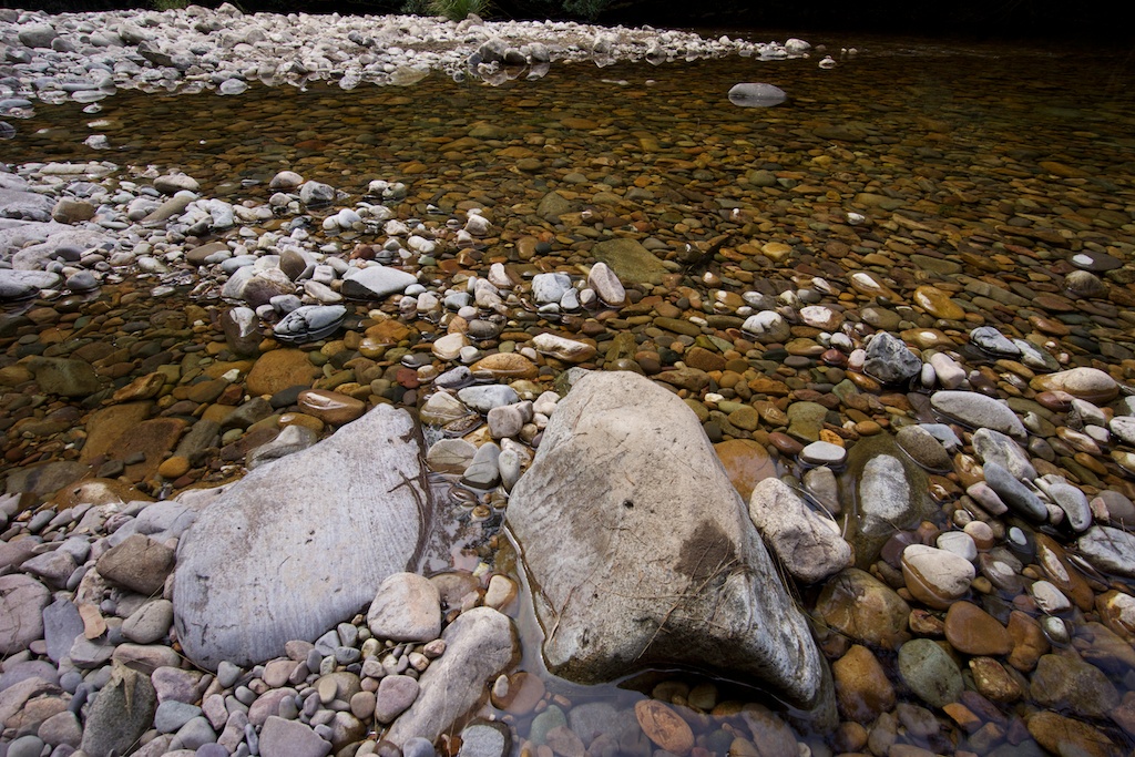
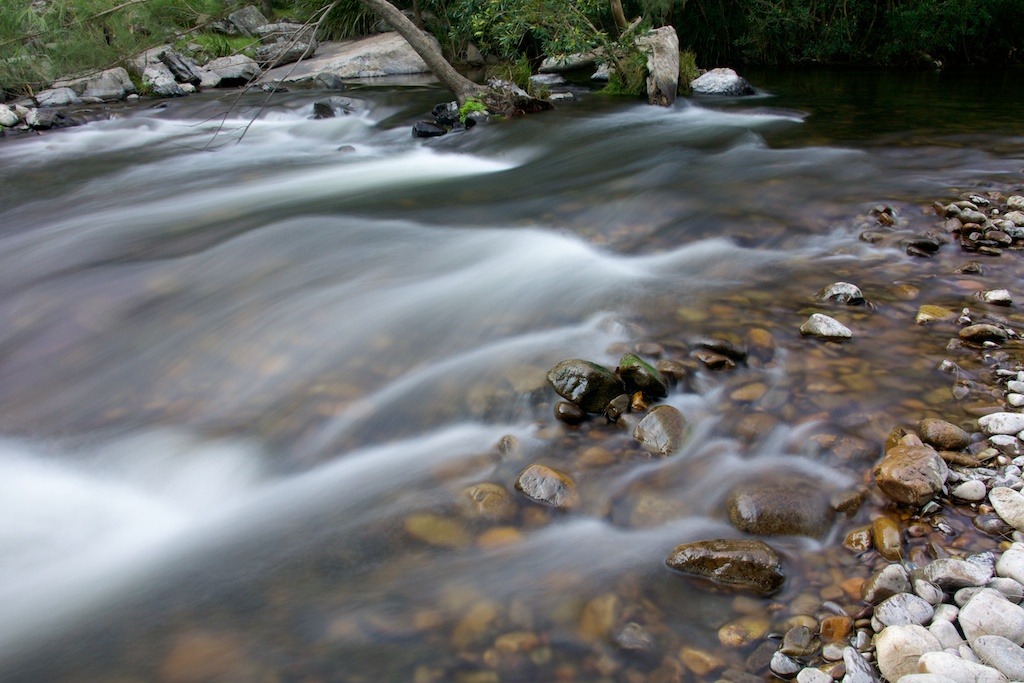
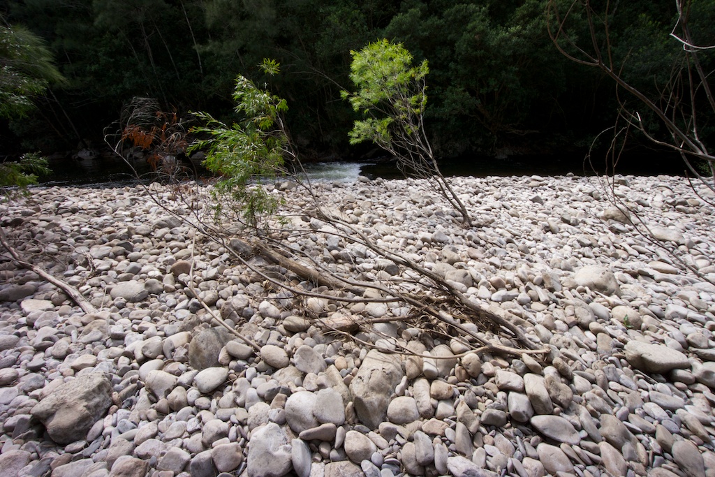
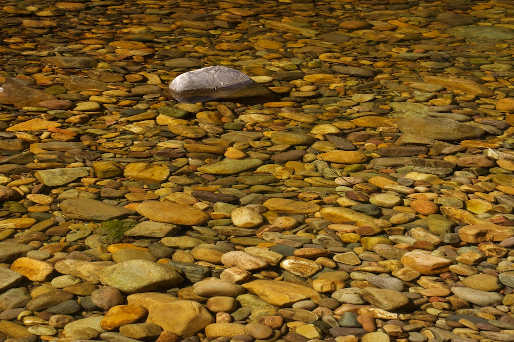
Above - river cobbles at Ritson Elbow
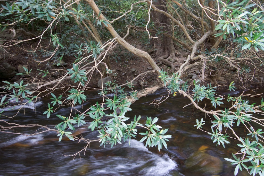
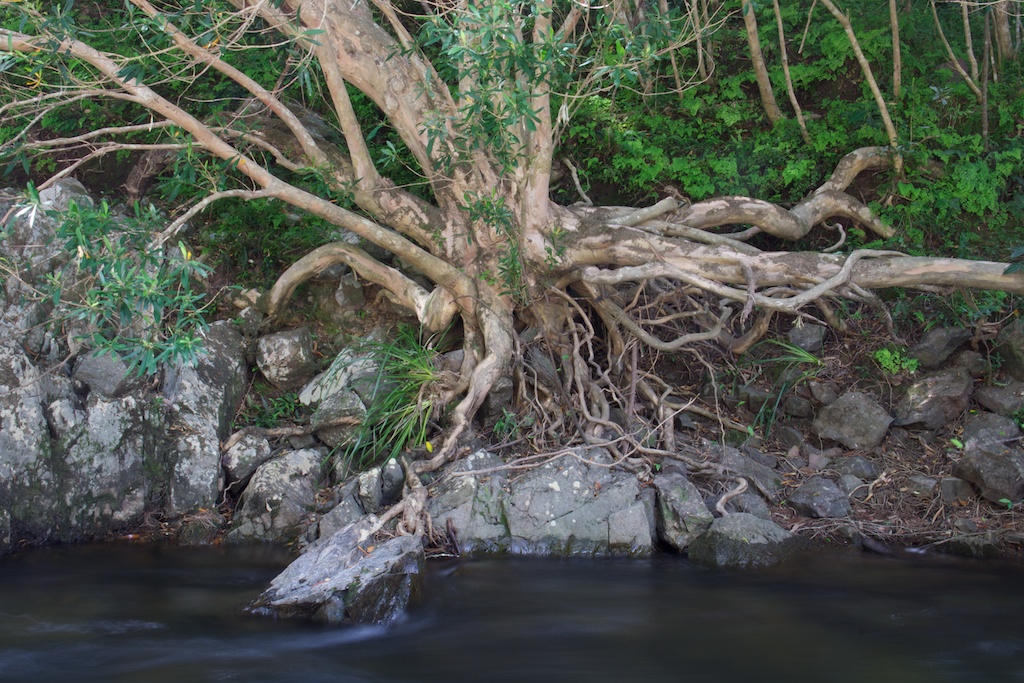
Above - River Gum
We climbed up from Ritson Elbow over Karil Mountain to the Low
Gangerang Range - and then walked out to Rigby Rocks Lookout to camp
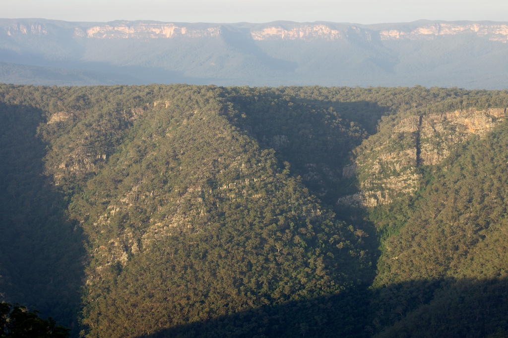
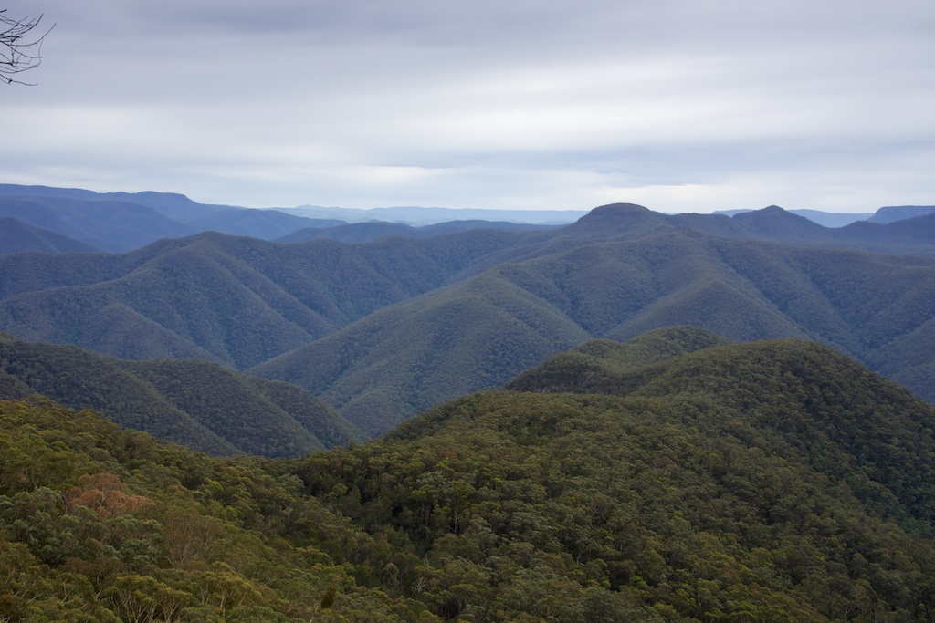
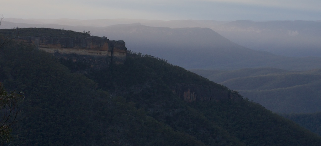
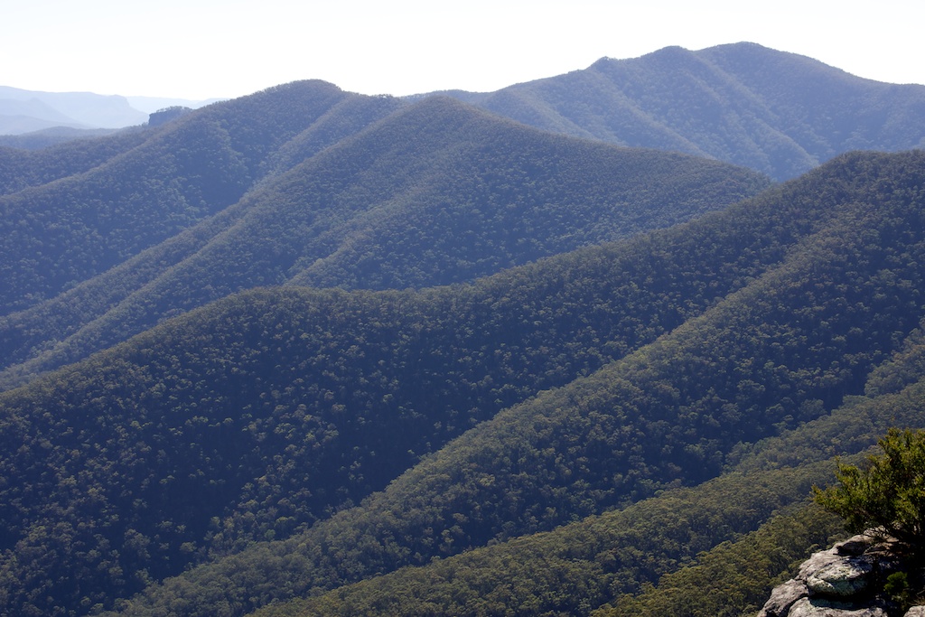
Above - Kowmung Gorge from Rigby Rocks
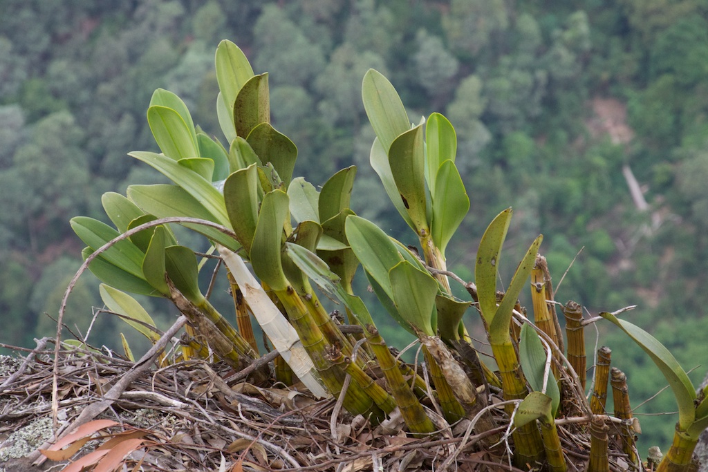
Above - orchids
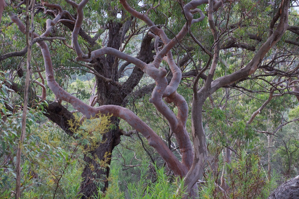
Above - Smooth Barked Apple
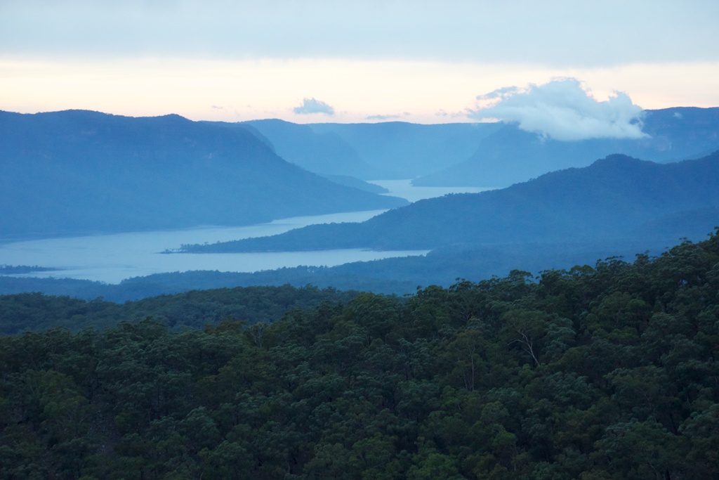
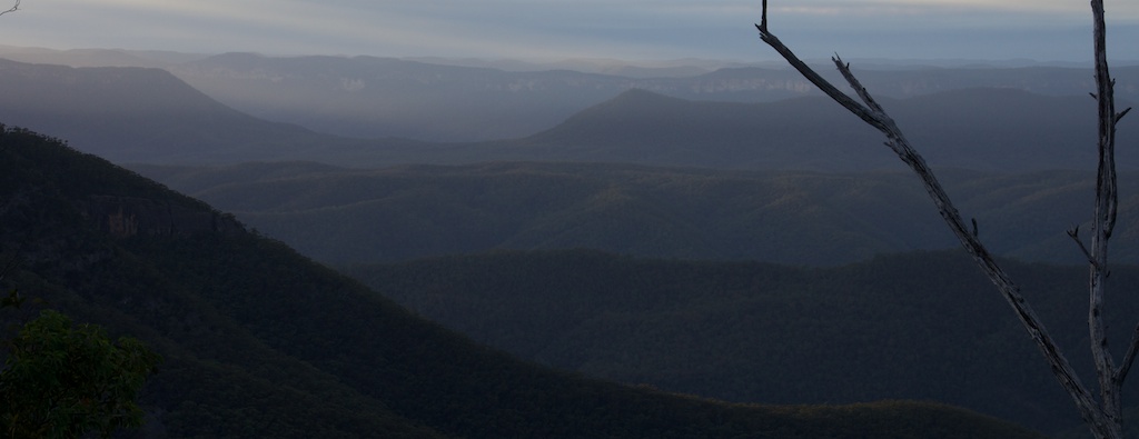
Above - dawn - Lake Burragorang - The Government plans to raise
Warragamba Dam at the end of this lake - which during a large rain
event will result in the lower Kowmung River being flooded!
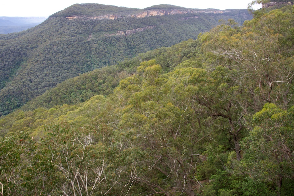
Above - The Low Gangerang Range - open Turpentine and Eucalypt
forest
Above - Rob - enjoying the open walking
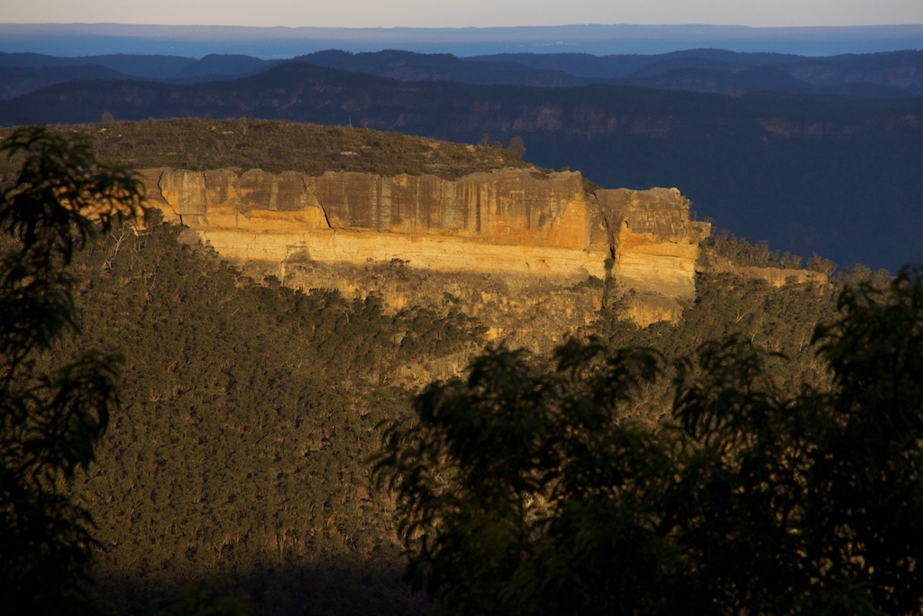
Above - Ti Willa from the top of Gentles Pass
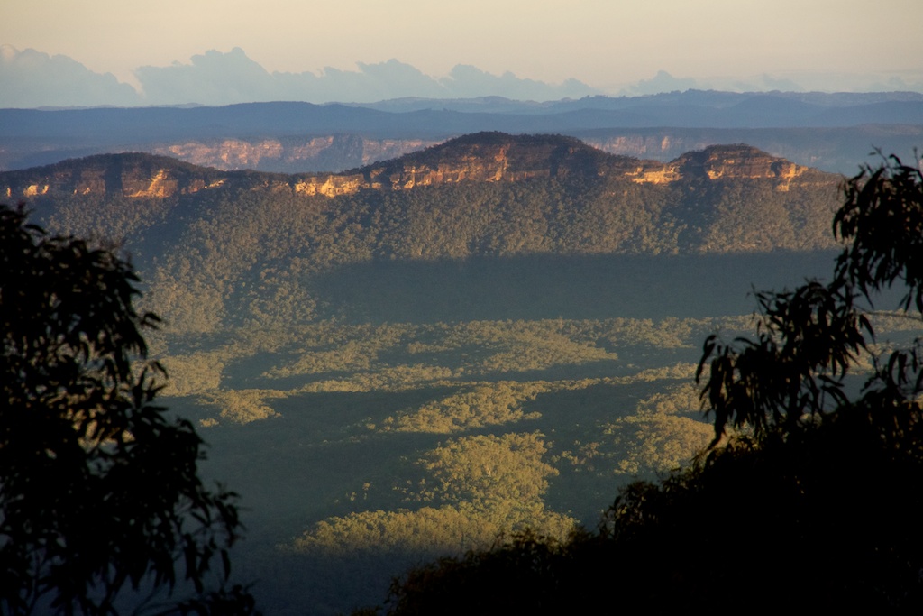
Above - the Coxs River Valley and Wild Dog Mountains
We were surprised to find some pig damage on the High Gangerangs
(there had been a little bit of damage on the Low Gangerangs). We
walked to Dex Creek for lunch and then Mt Cloudmaker. We descended
to Mt Stormbreaker to camp.
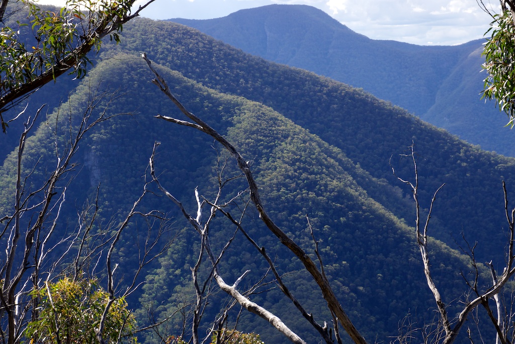
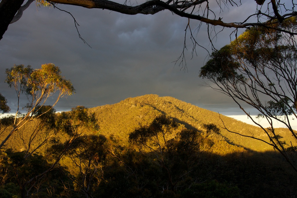
Above - Mt Paralyser and Mt Guouogang from Mt Stormbreaker
Above - Marooba Karroo
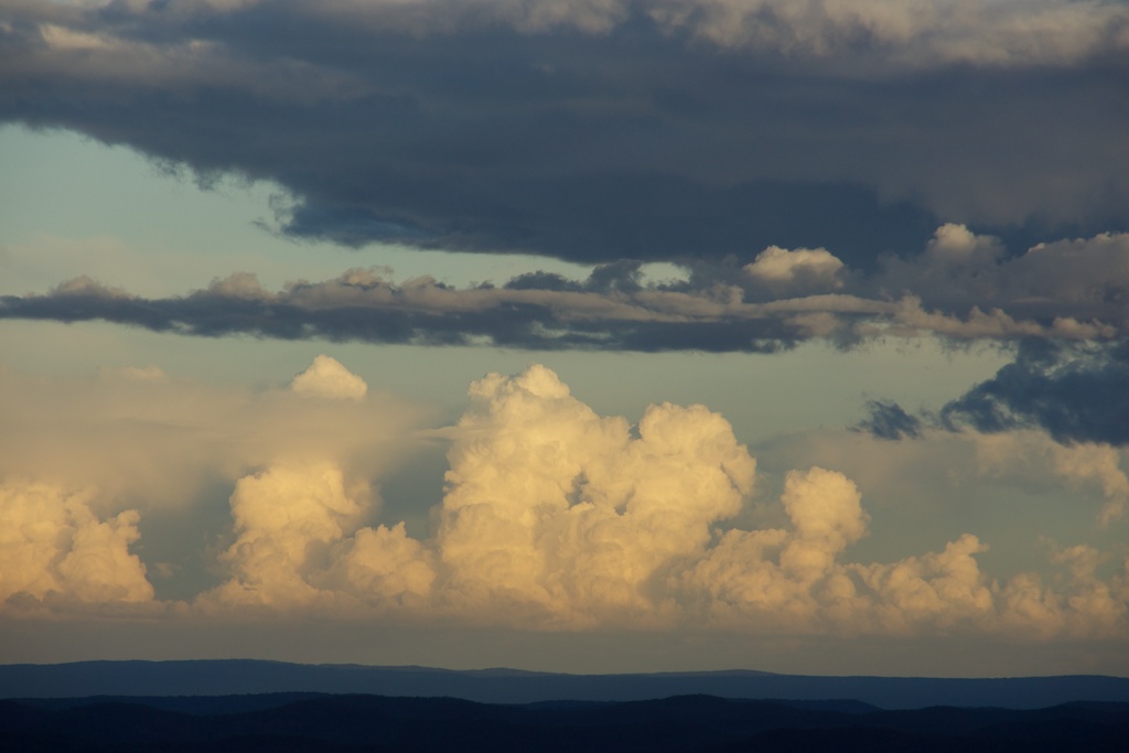
Above - evening cloud
Above - Ti Willa Plateau and the Blue Breaks behind
Above - Vengeance Peninsula
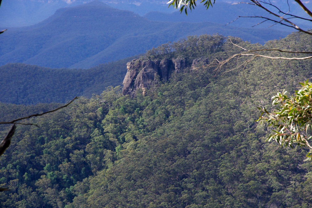
Above - Mt Cloudmaker
Above - dawn - Ti Willa and the Blue Breaks
Above - Mt Cloudmaker from Kanangra Walls
This page has a large panorama taken
from Kanangra Walls
Return to david-noble.net