Easter Walk - Blue Gum Forest - Grose River - Y Creek - Boorong
Crags - Mt Hay - 3 - 6 April 2015
All images © David Noble. No image can be used for any purpose
without permission.
Page 1 of 2
The photos are continued on page 2
Party - Keith, Wendy, Alex, Dave
Thanks to Keith Muir for organising this walk. Our original plan was
to walk down the Grose River from Blue Gum Forest to Faulconbridge
Point and then exit to Faulconbridge or Springwood. However, we had
a lot of rain on the first night and during the second day - putting
the Grose River in flood, and we thought it unwise to continue, so
we climbed out at Y Creek (Shaws Gully, Byles Pass) and then
traversed to Mt Hay via Boorong Crags. Thanks to Wyn Jones for
picking us up at the Mt Hay carpark (and for driving us out to
Perrys Lookdown at the start).
Day 1
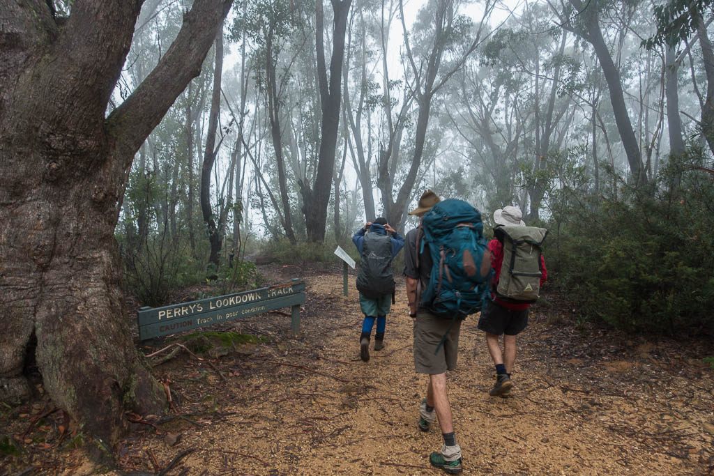
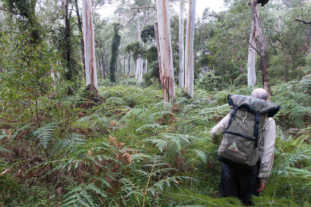
Above - We set of from Perrys Lookdown
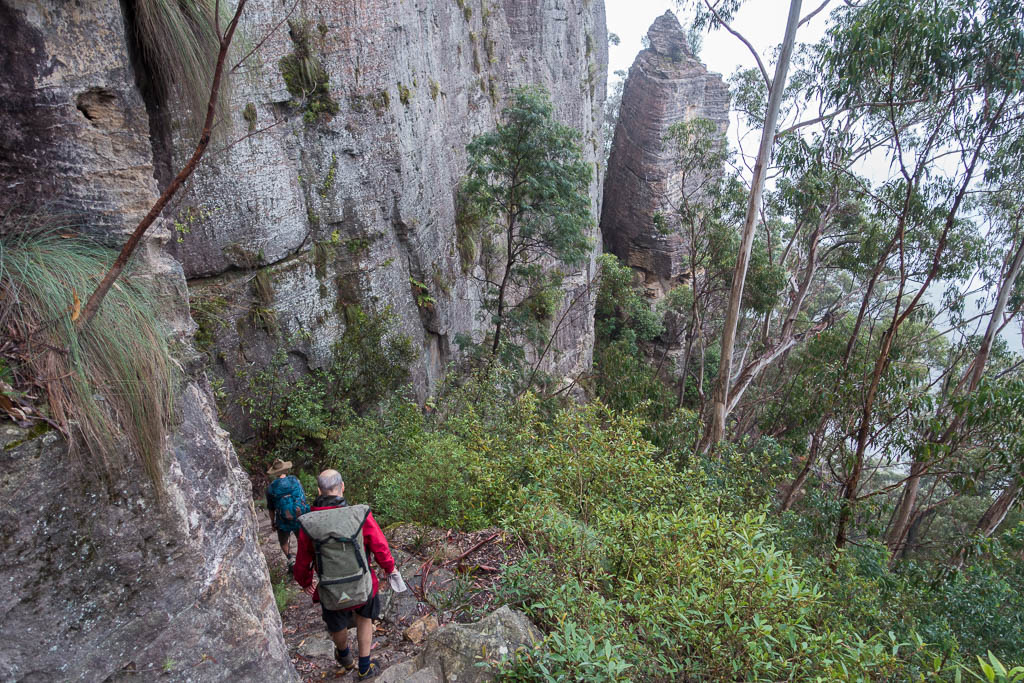
Above - Descending
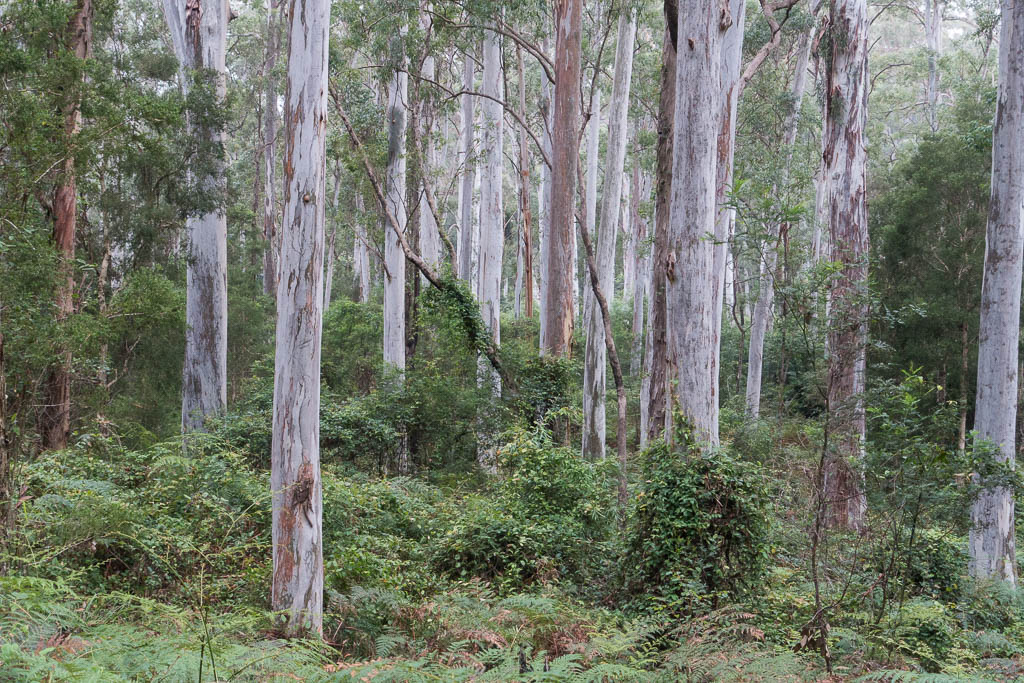
Above - Blue Gum Forest
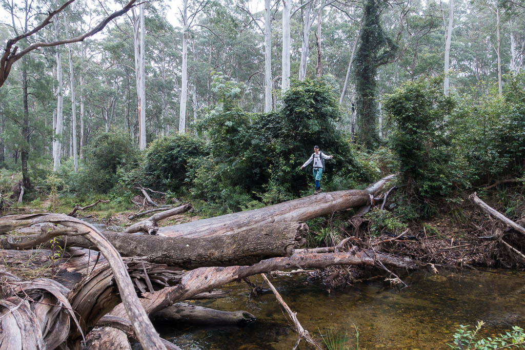
Above - Wendy crossing Govetts Creek
Above - Keith leads the way down the Grose River
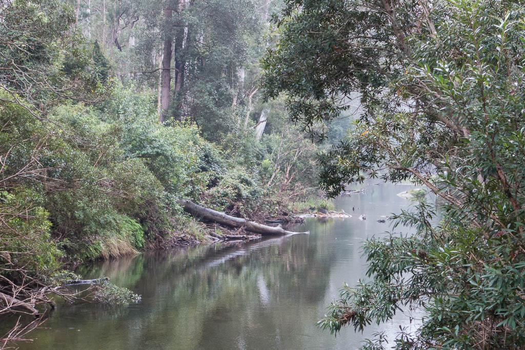
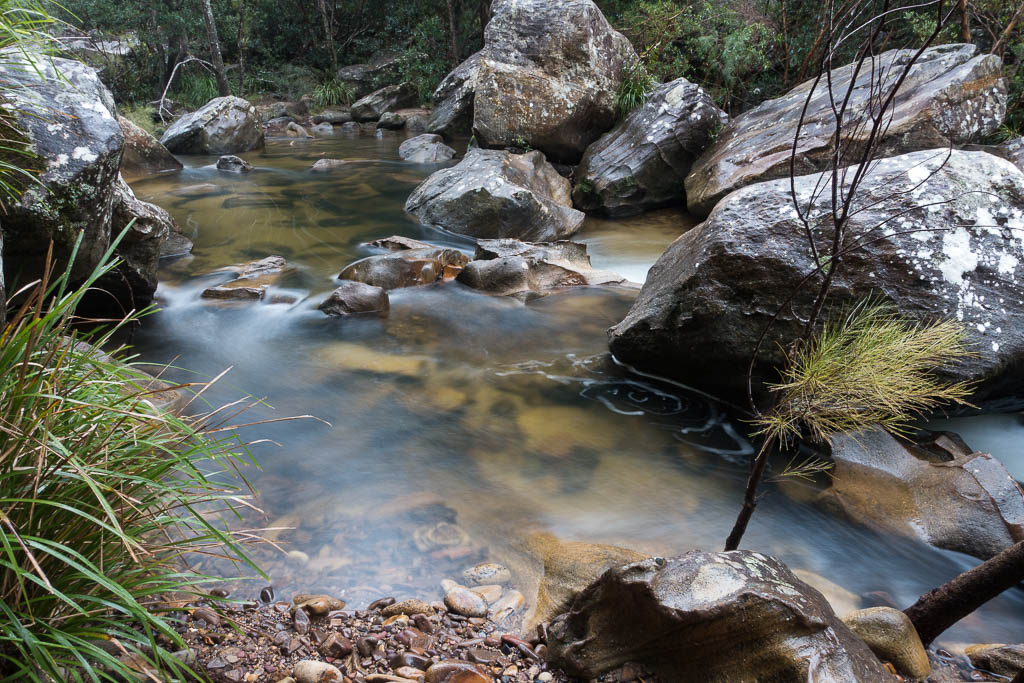
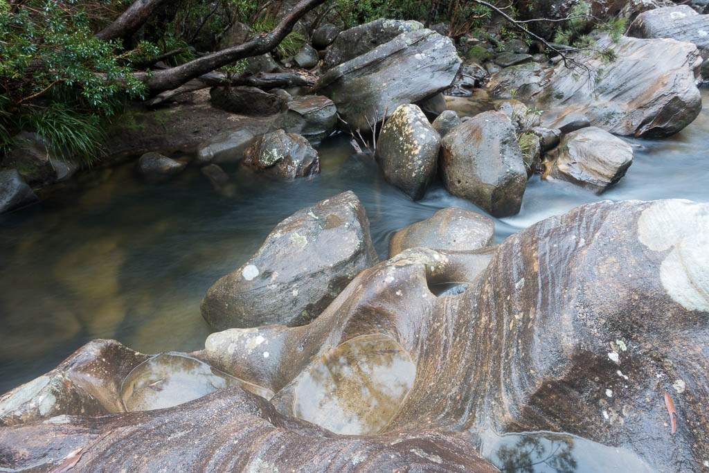
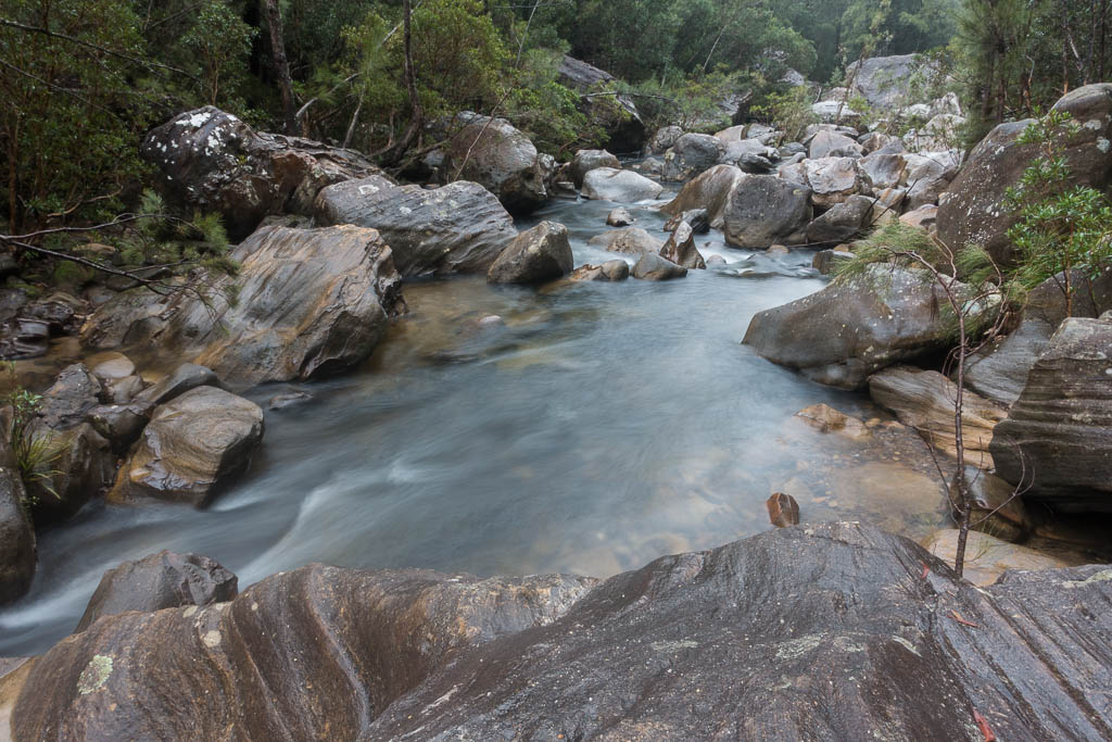
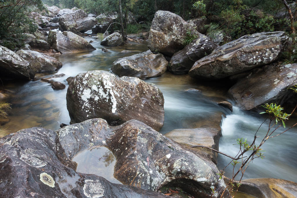
Above - The Grose River

Above - Nice open flats and Blue Gums near Walford Creek junction
Above - The Grose River
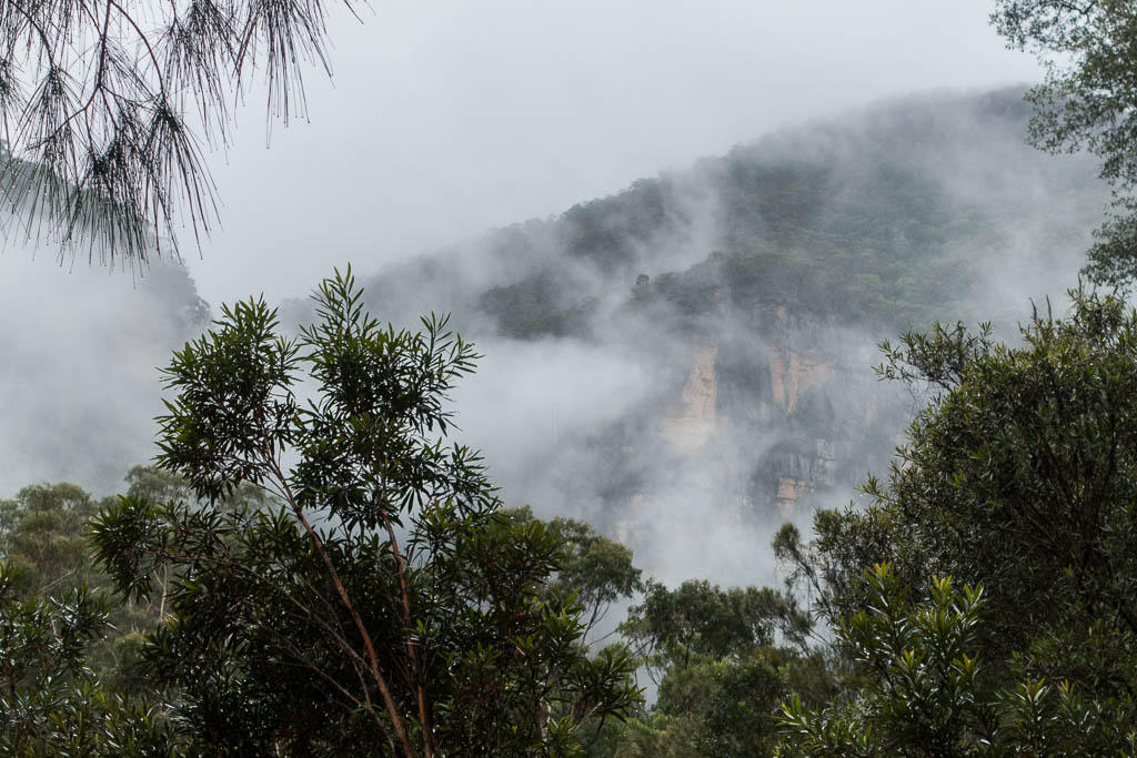
Above - The cliffs tower above

Above - At Rocky Points Ravine junction
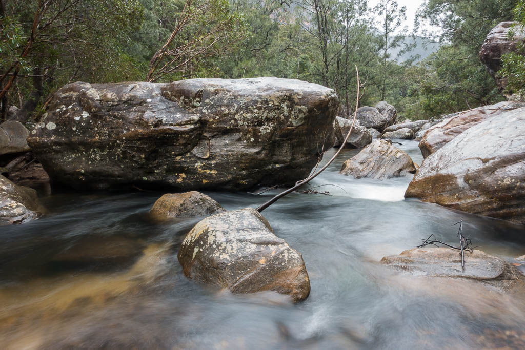
Above - The Grose River
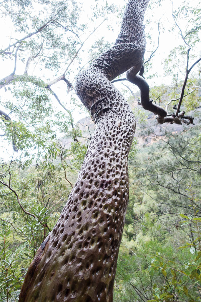
Above - A very dimpled Angophora
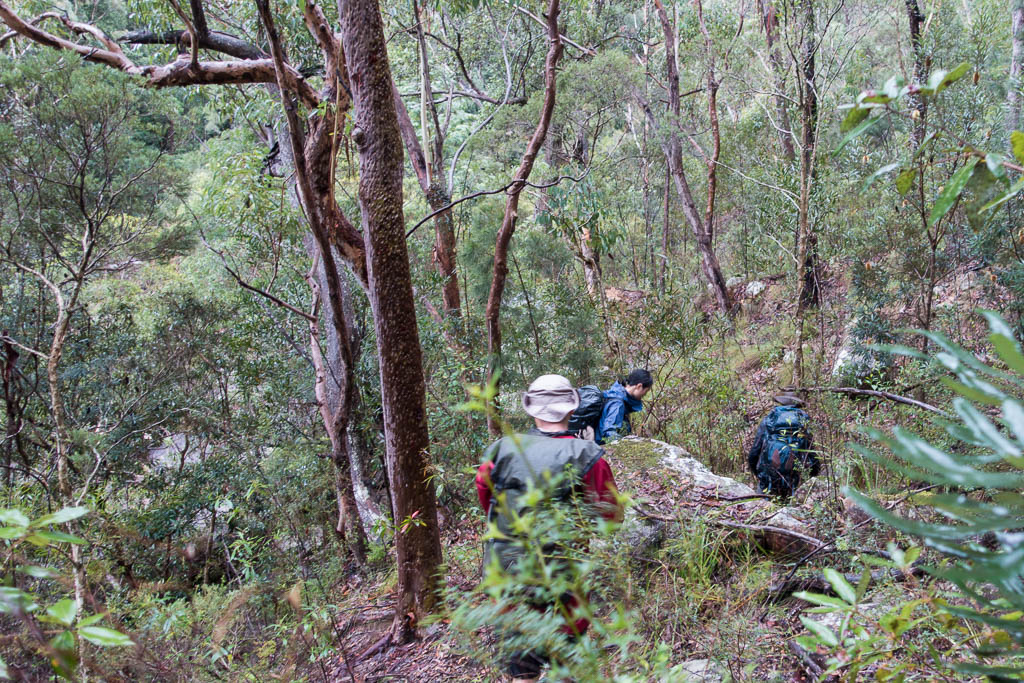
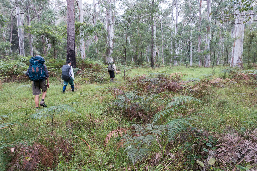
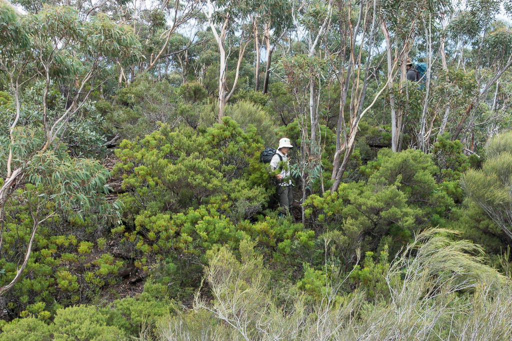
Above - A lot of the going is on scrubby banks
Above - The Grose River at our campsite. We camped on a terrace
above the river. We were about 1.5 kms upstream from Shaws Gully.
Day 2
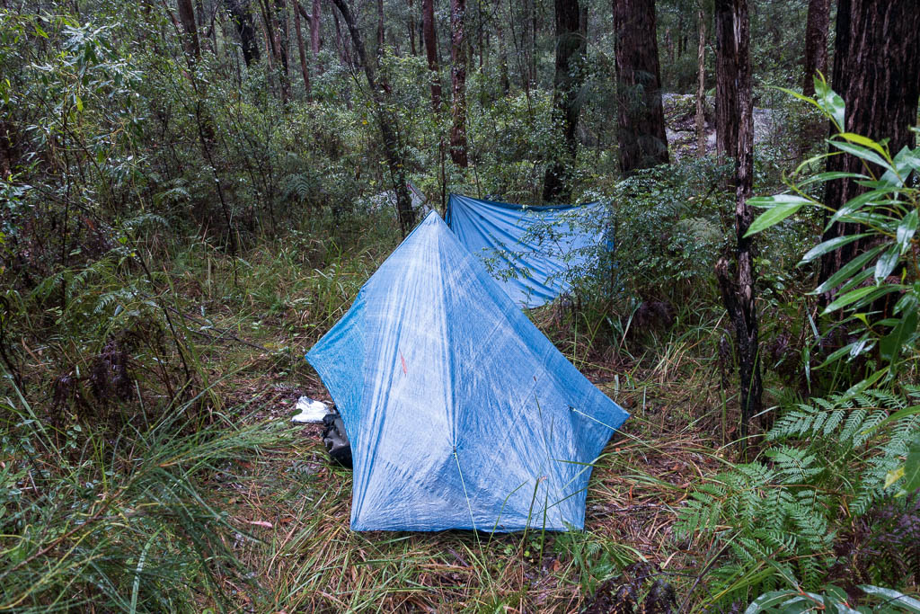
Above - our campsite after a very wet night. It rained all night and
till late in the afternoon on the second day. We decided to stay
put.
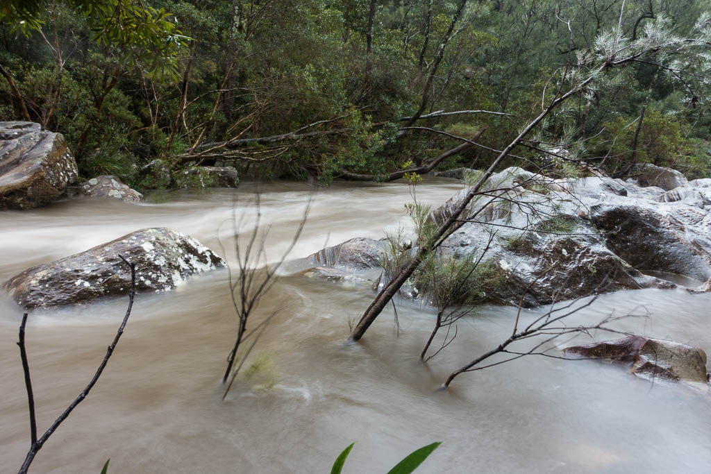
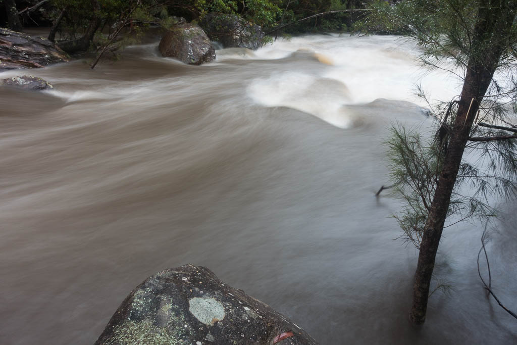
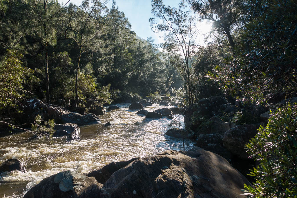
Above - The Grose River - up about 1.5 metres
Above - Alex inspects the river
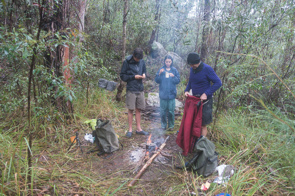
Above - At our campsite.
Day 3
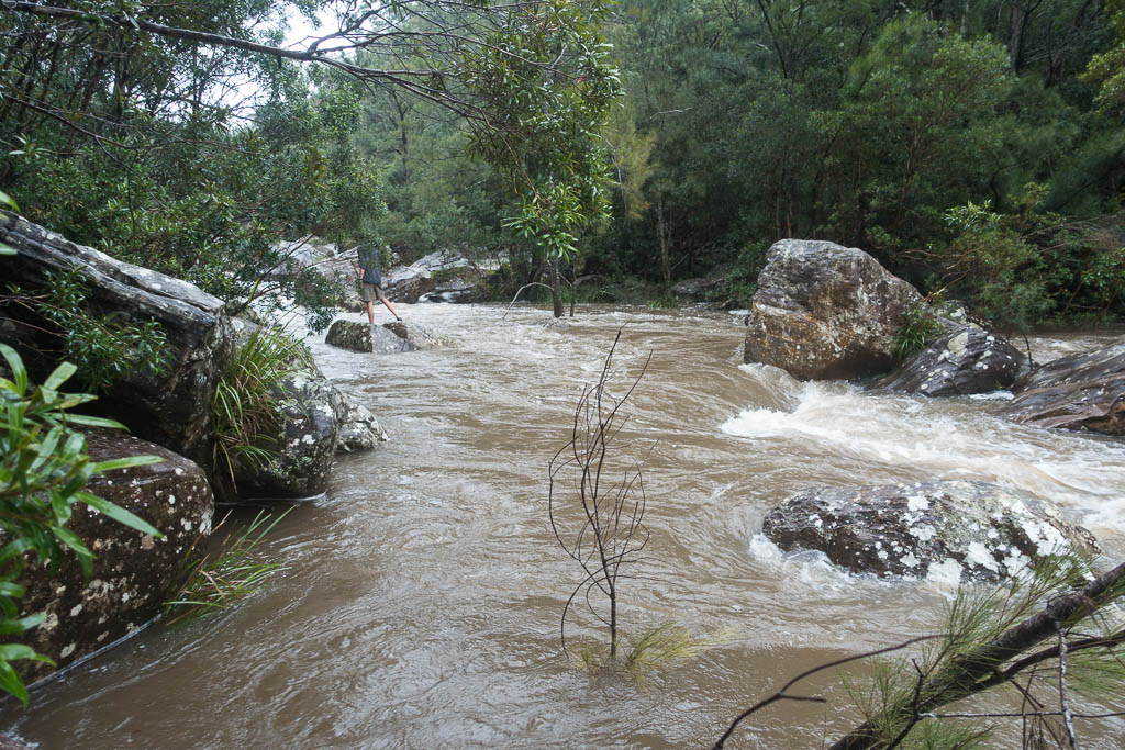
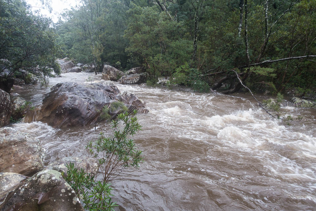
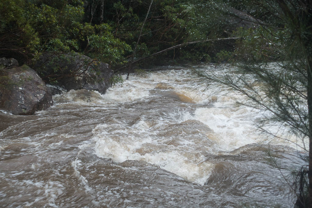
Above - The Grose River - down a bit, and its a nice sunny day!
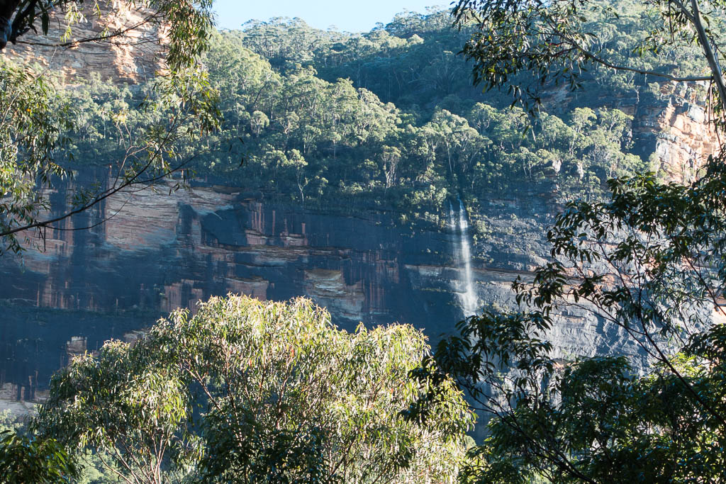
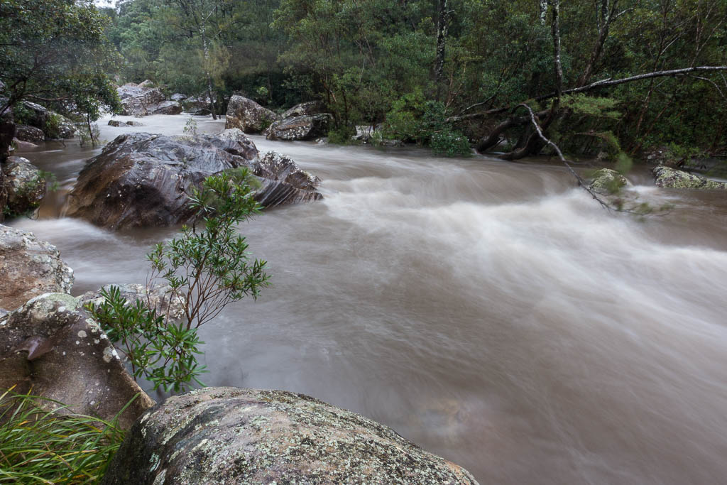
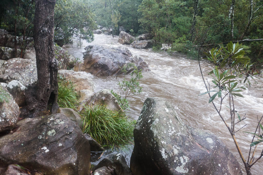
Above - This waterfall was much bigger the day before. One of many
along the cliffs.
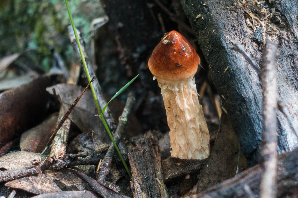
Above - Austroboletus novaezelandiae
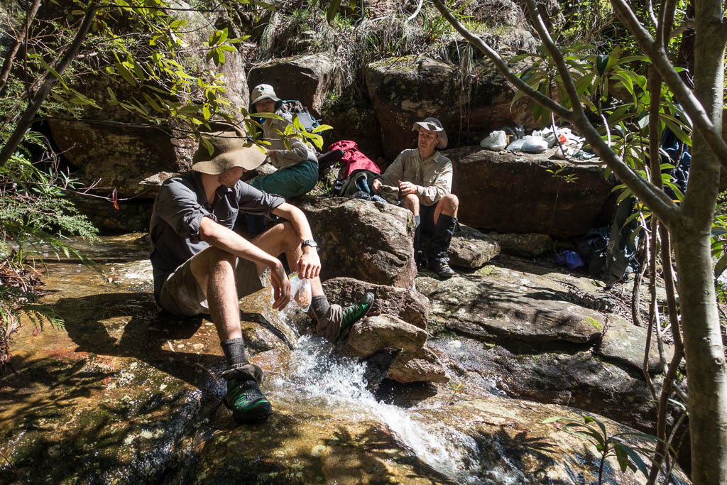
Above - We stop for a break above the cliffline at Y Creek (Shaws
Gully - Byles Pass)
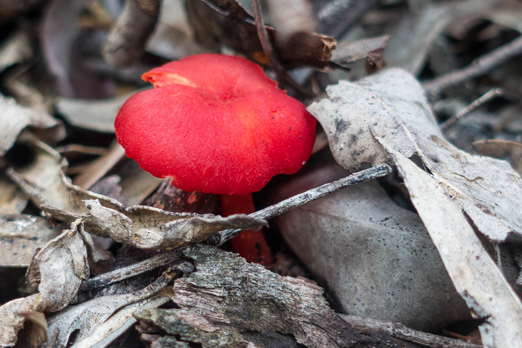
Above - On the ridge - Hygrocybe miniata
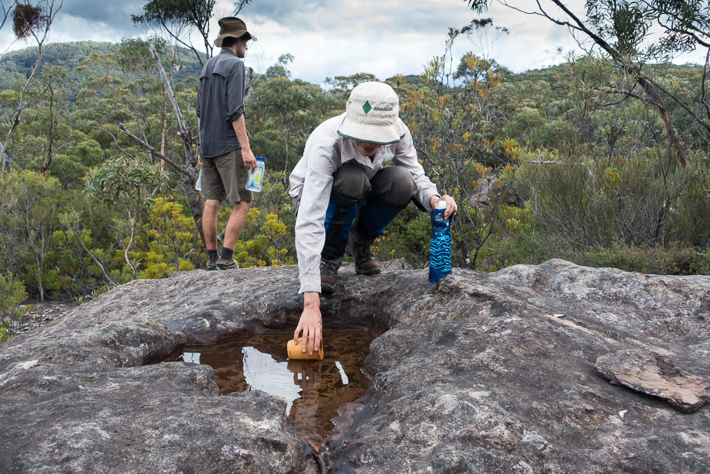
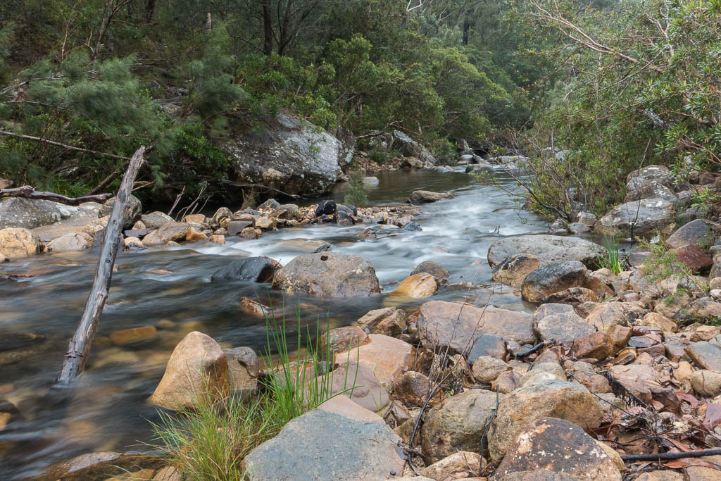
Above - Plenty of water is available from rock pools
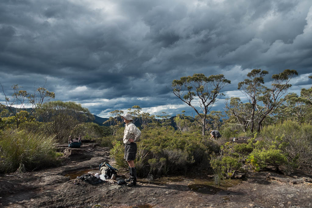
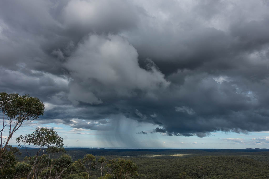
Above - The weather looks a little stormy
Above - Wendy and Alex on the ridge
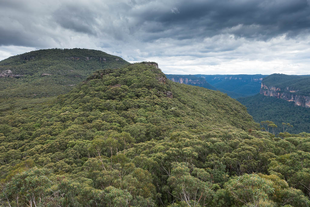
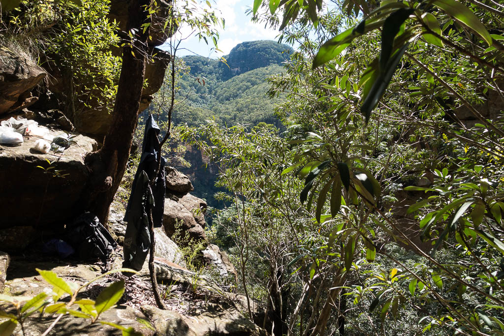
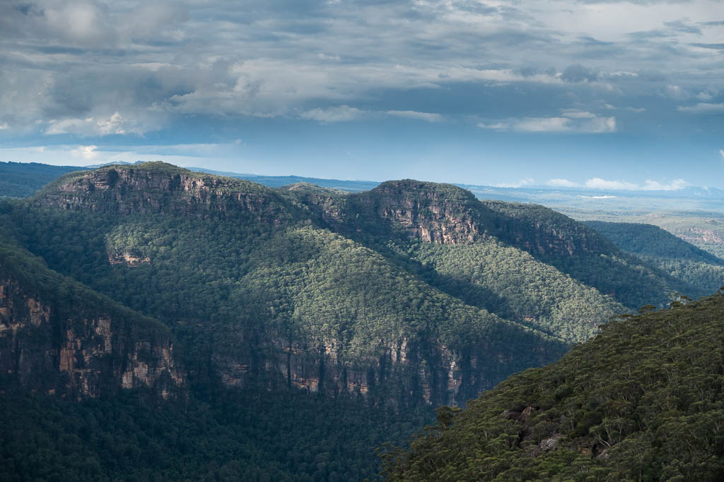
Above - Boorong Crags and Mt Hay
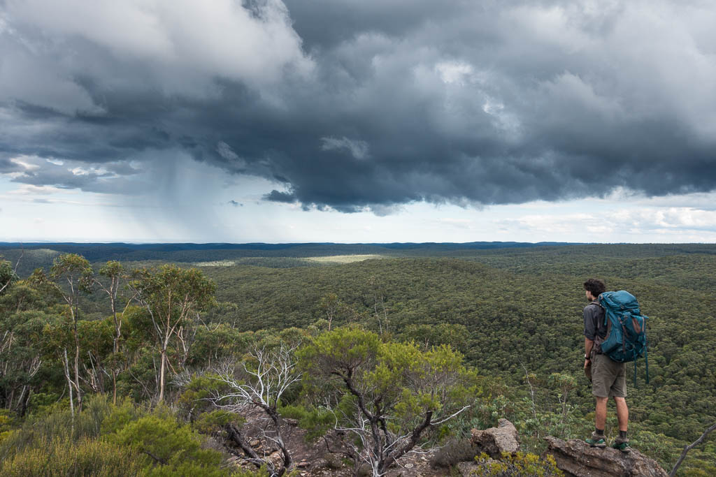
Above - Alex looks back and spots some "bendy" rain
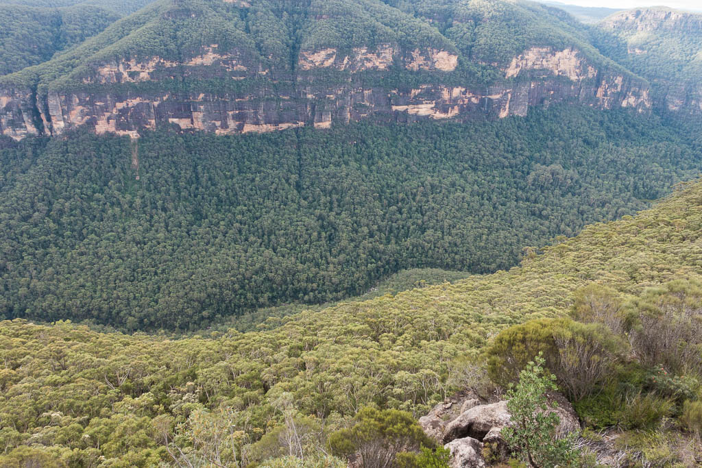
Above - Mt Dixon and Garrard Gulch on the other side of the Grose
River
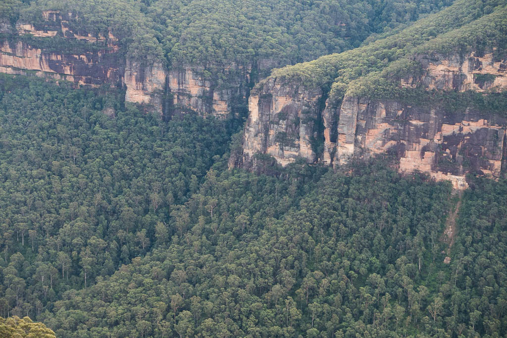
Above - Mt Caley and the Grose River
Above - Zobel Crevasse
Continue to Page 2
Return to david-noble.net