Mt Banks Traverse - 18 May 2016
All images © David Noble. No image can be used for any purpose
without permission.
Party - Bob, Dave
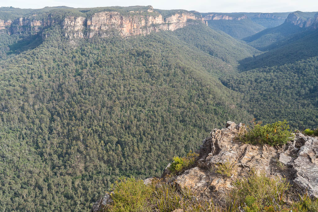
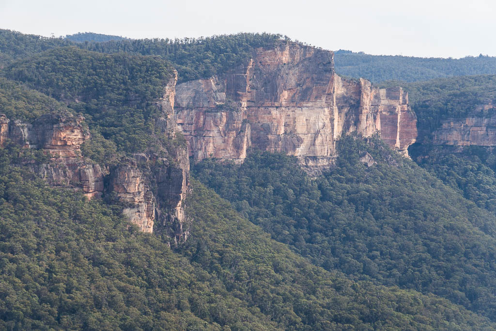
Above - The Grose Valley, looking towards Perrys Lookdown
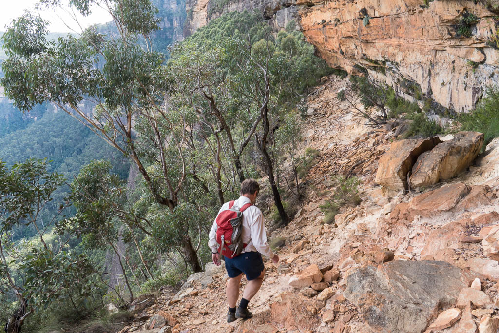
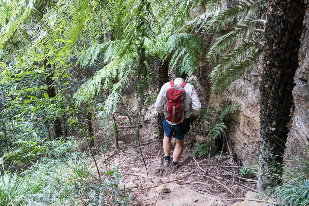
Above - Bob on the traverse which follows a ledge of shale (the
Wentworth Falls Claystone)


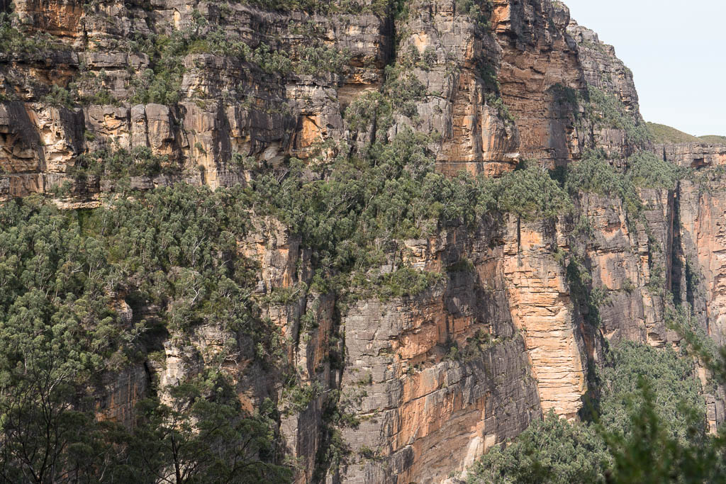
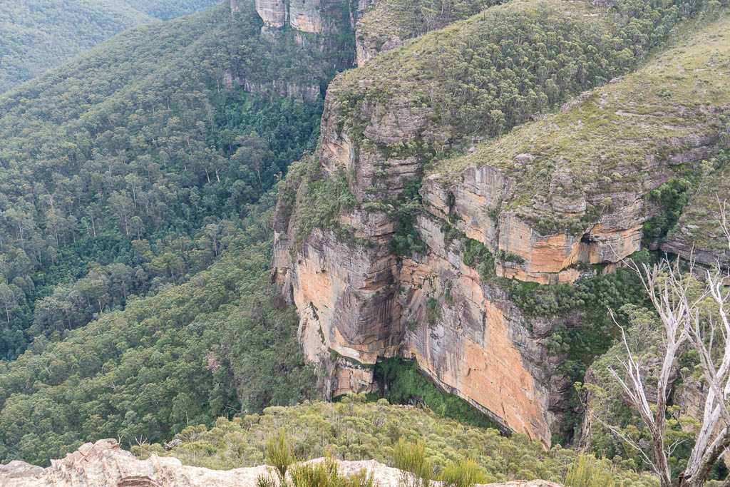
Above - Thinsg get interesting at the westen end of the ledge - a
deep gulch - the "Devils Throat" must be negotiated. There are
several ledges at different levels that lead into the chasm, but
only one of these leads to a negotiable ledge out.
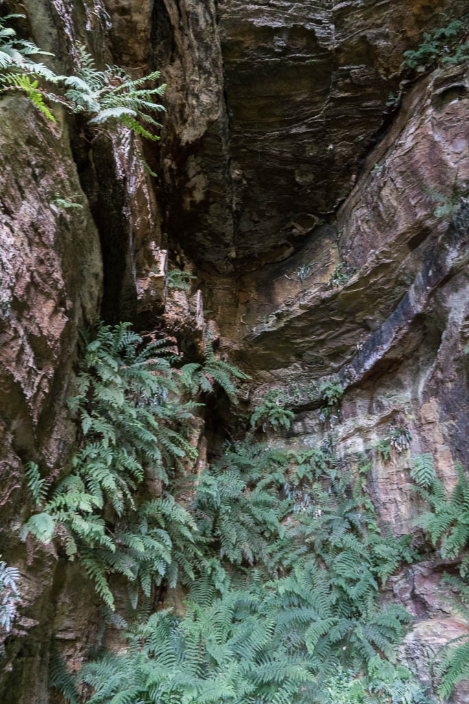
Above - this gulch is probably a dyke
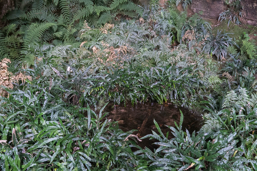
Above - a nice pool of water

Above - Bob looking into the Devils Throat


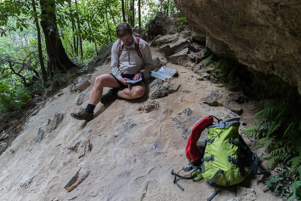
Above - We eventually work out the right way to go - and find a
logbook left by Springwood Bushwalker Phil Foster.
Above - Looking back at our traverse ledge
Above - Lower down is the half-way ledge (the Mt York Claystone)
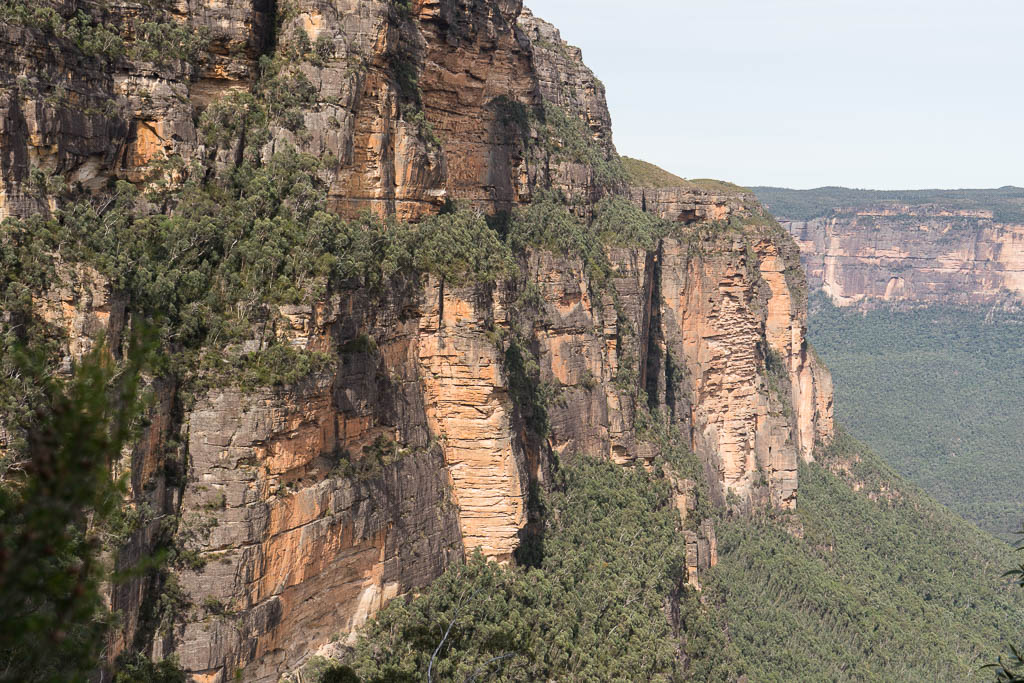
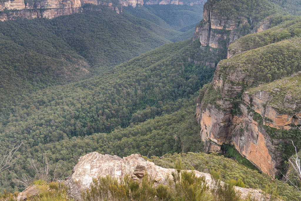
Above - Over the valley is Brownes Pass and Burramoko Head and
Hanging Rock

Above - It is a short walk back to the Mt Banks track which crosses
the heath on the top left
Return to david-noble.net