Mootik Plateau - Mt Colong Walk - Anzac Long Weekend - 24 - 26
April 2010
All images © David Noble. No image can be used for any purposee
without permission
Day 2 - Colong Gap - Mootik Plateau - Mt Colong
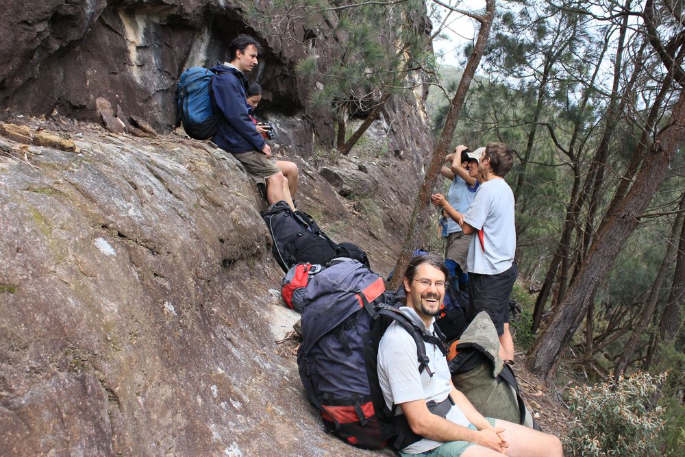
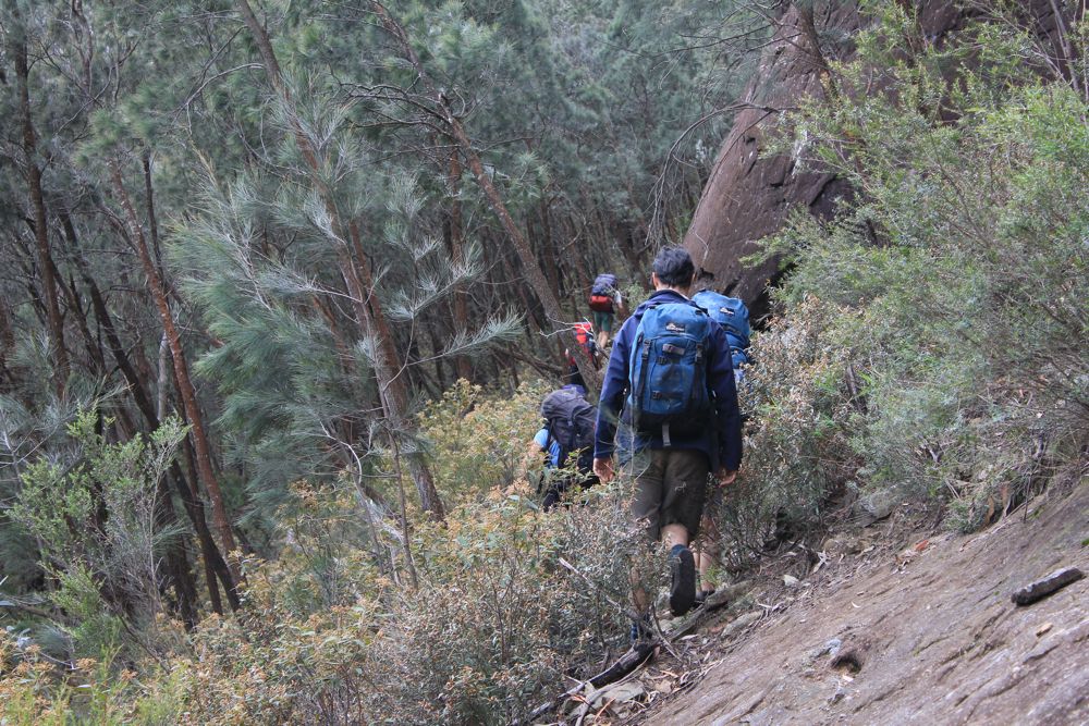
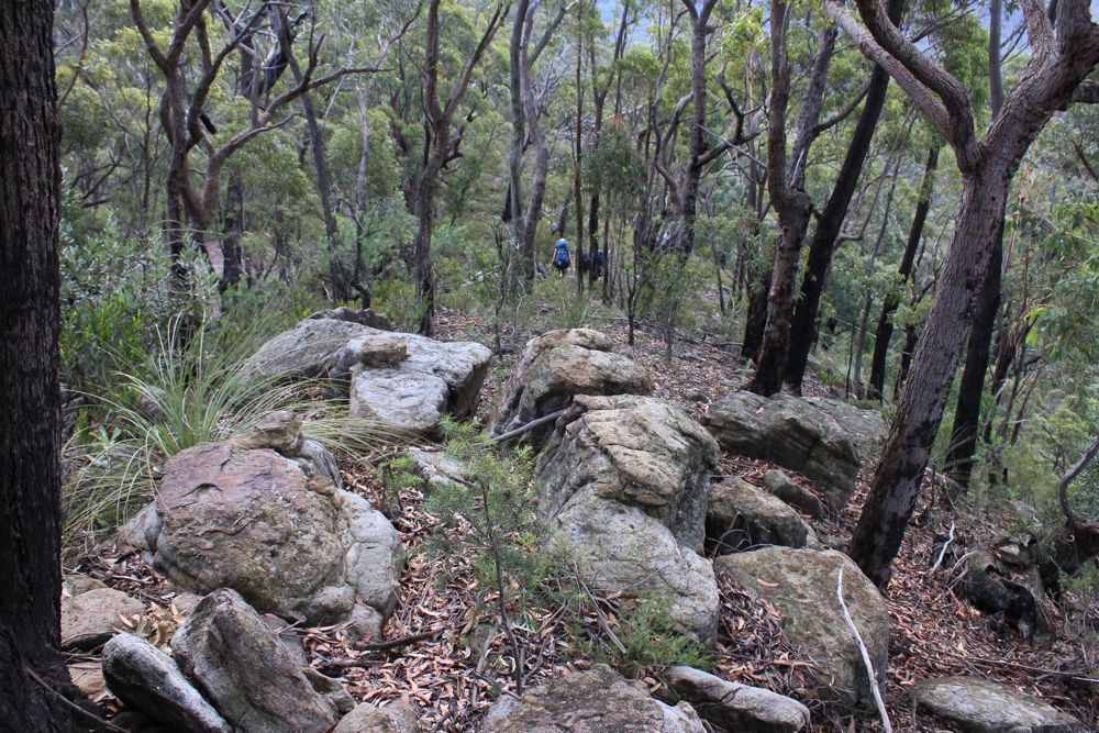
Above - we battel a bit of scrub to get to the base of Mootik Walls
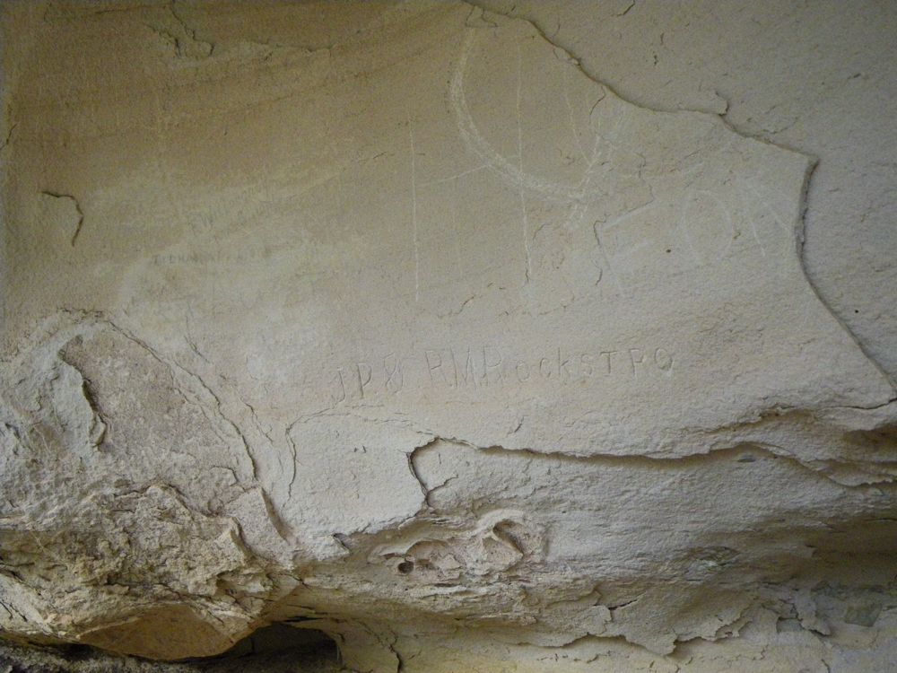
Above - old grafitti in a cave (some dates back to 1906)
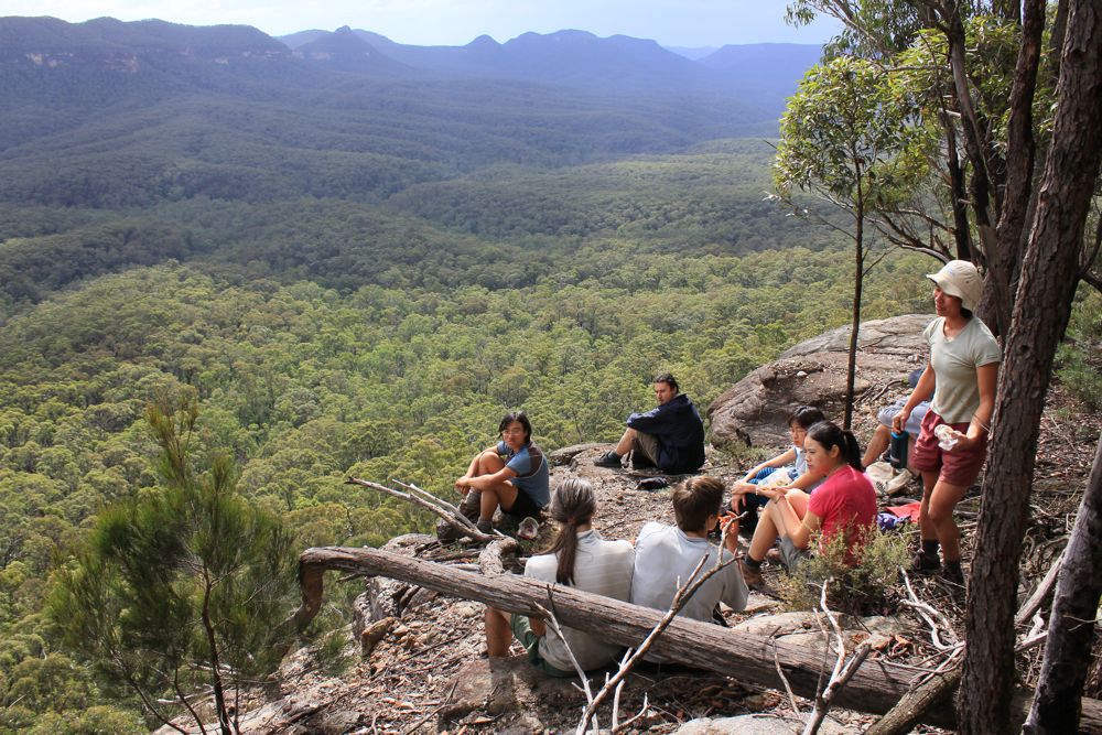
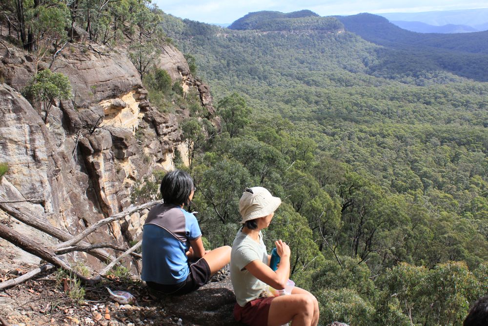
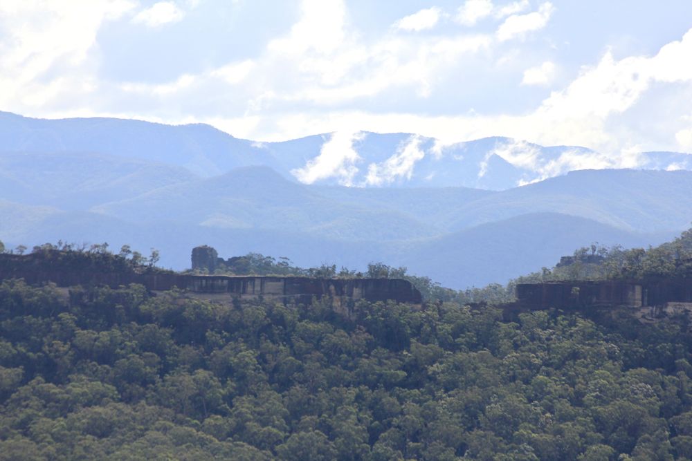
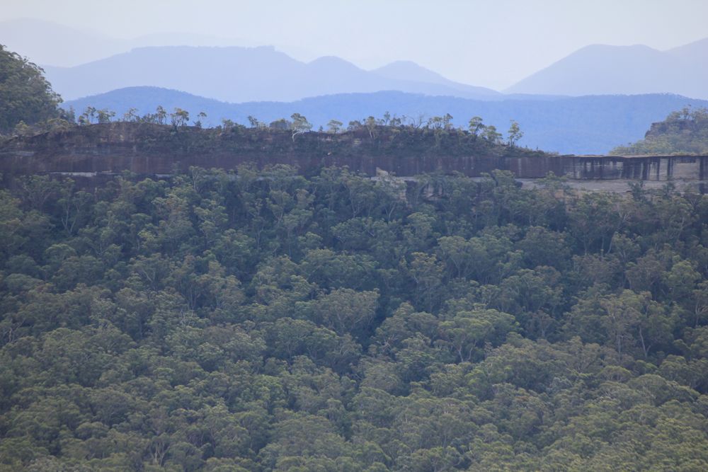
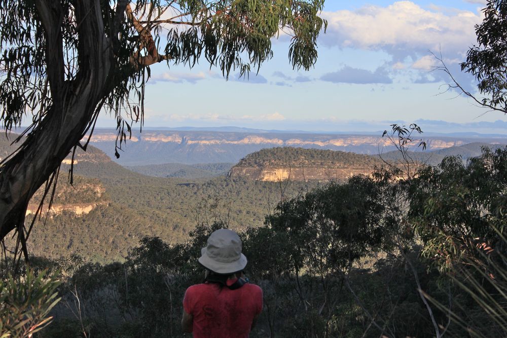
Above - The Blue Breaks and Tonalli Valley from Colong Gap
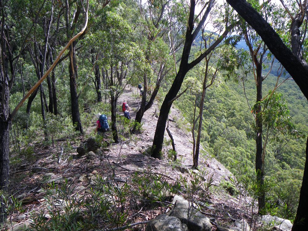
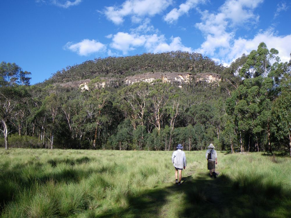
Above - Looking along our route - along the Mootik Plateau
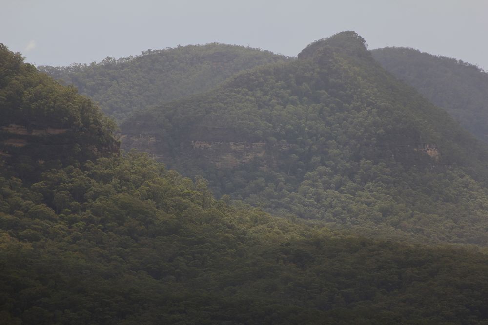
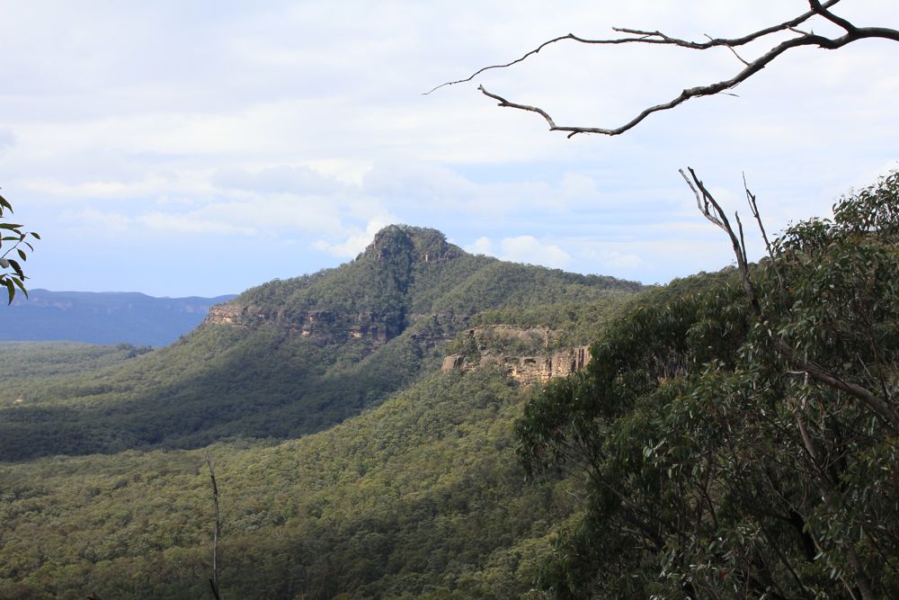
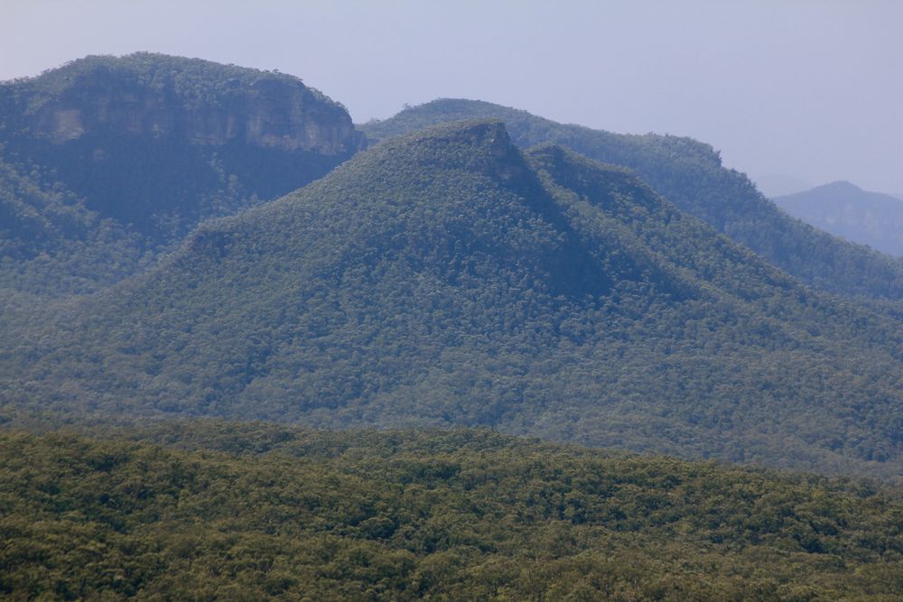
Above - Axehead Mountain
Above - Bull Island Peak and Vengeance Peninsula
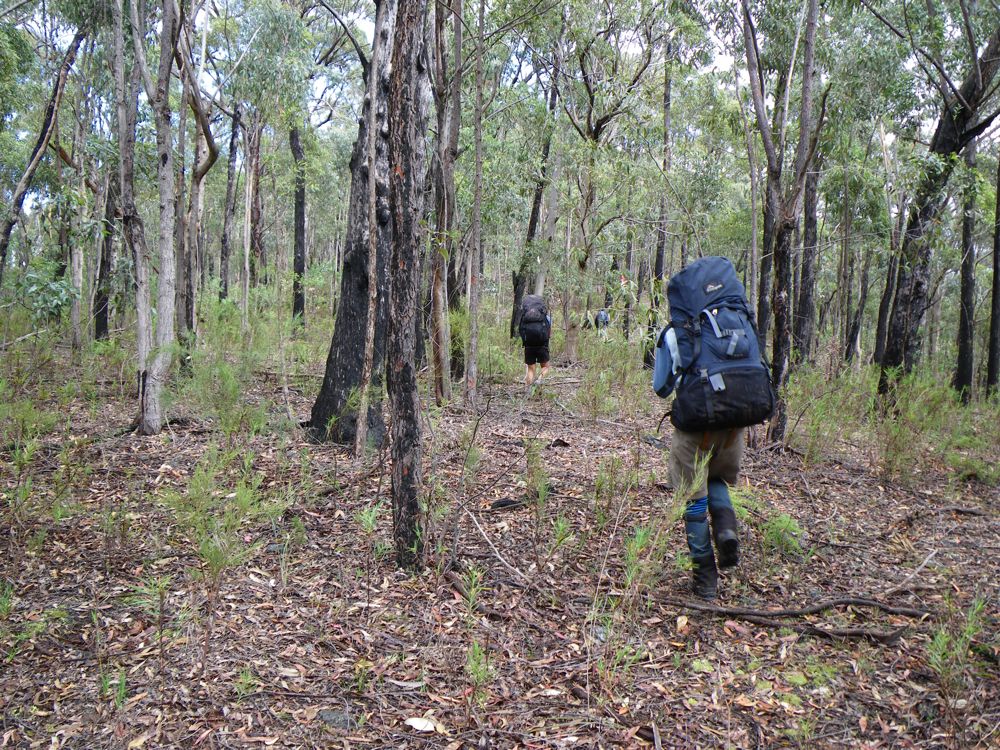
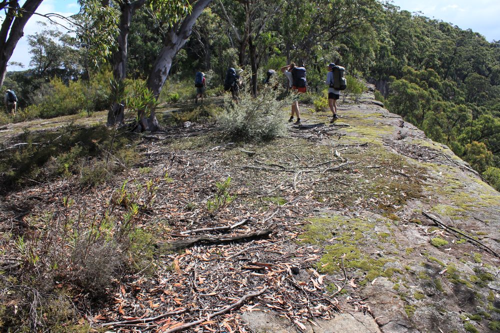
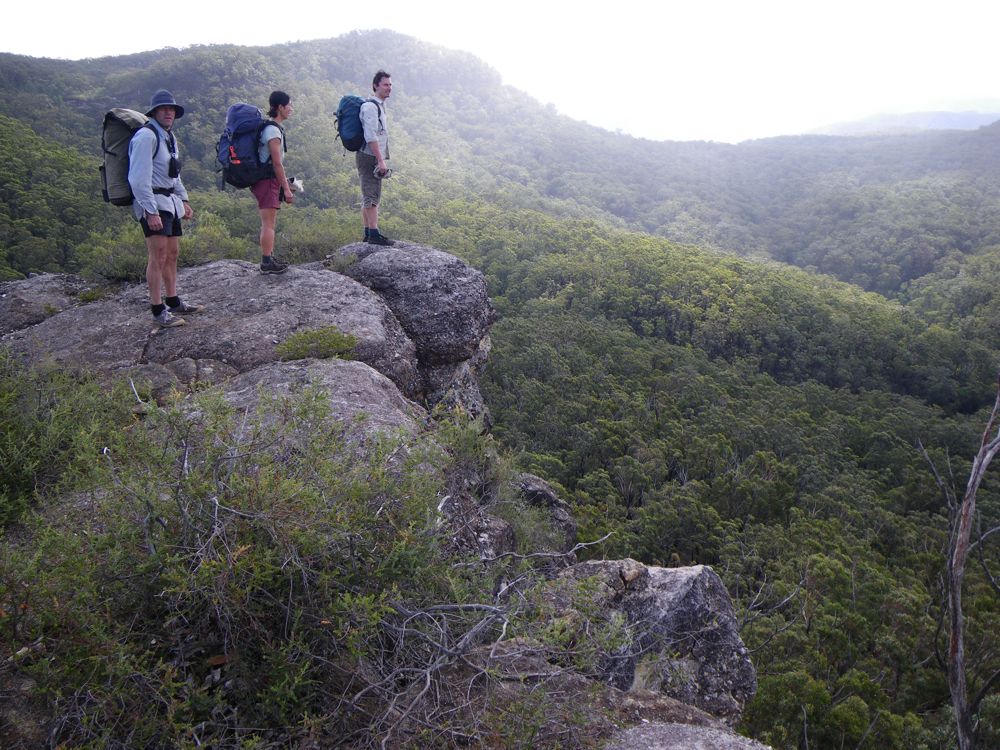
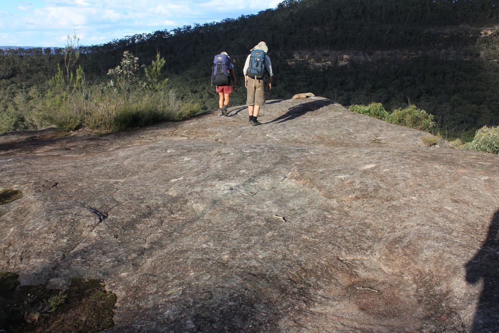
Above - walking on the open plateau
Above - Yerranderie Peak
Above - Chiddys Obelisk and the Coach and Horses (the thin isthmus that
connects Mt Yudburra with Tonalli Mountain)
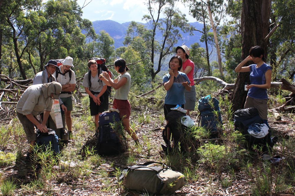
Above - the sun comes out - and so does the sun cream
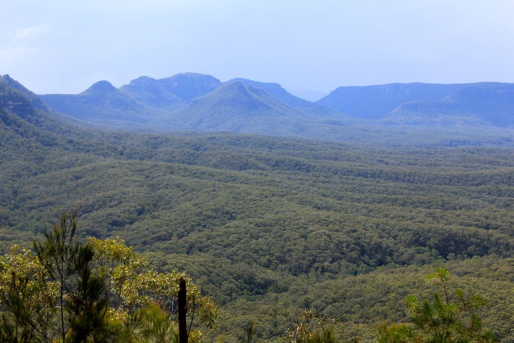
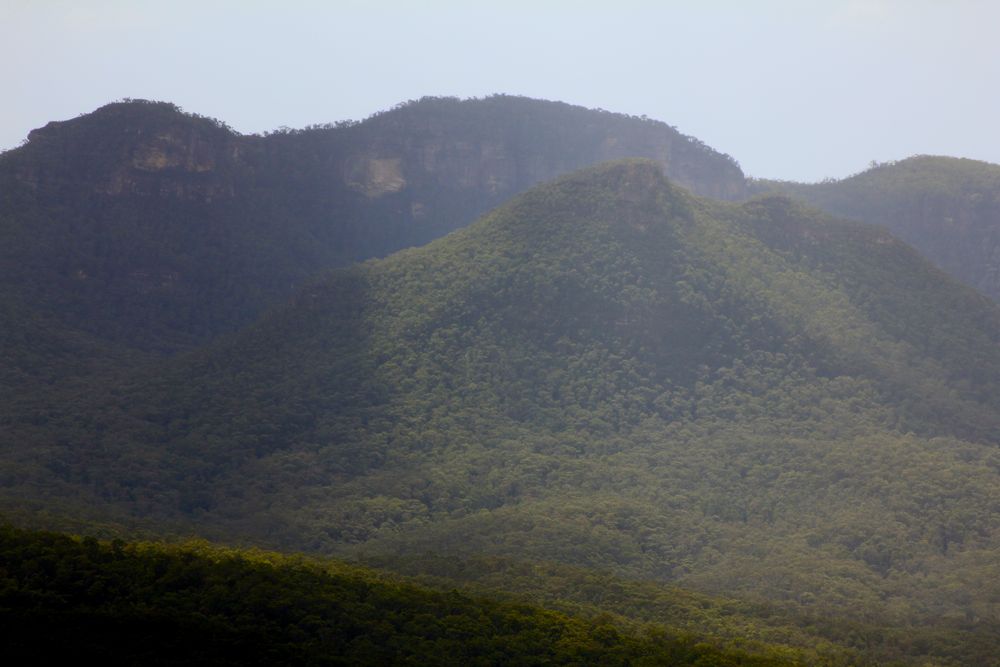
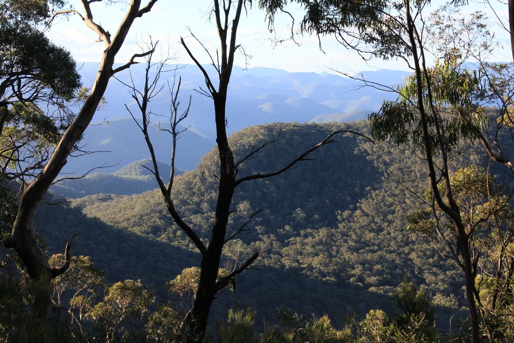
Above - the Axehead Range
Above - Bull Island Peak
Above - Chiddys Obelisk and the Coach and Horses
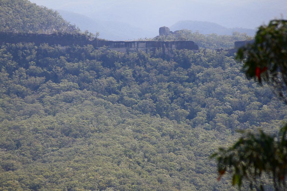
Above - The Coach and Horses, with Crafts Walls and Gabes Gap behind
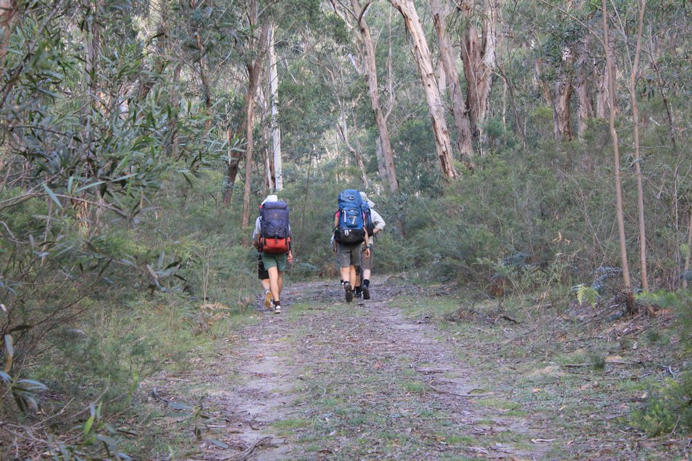
Above - at the end of the range - we drop down from here to the road
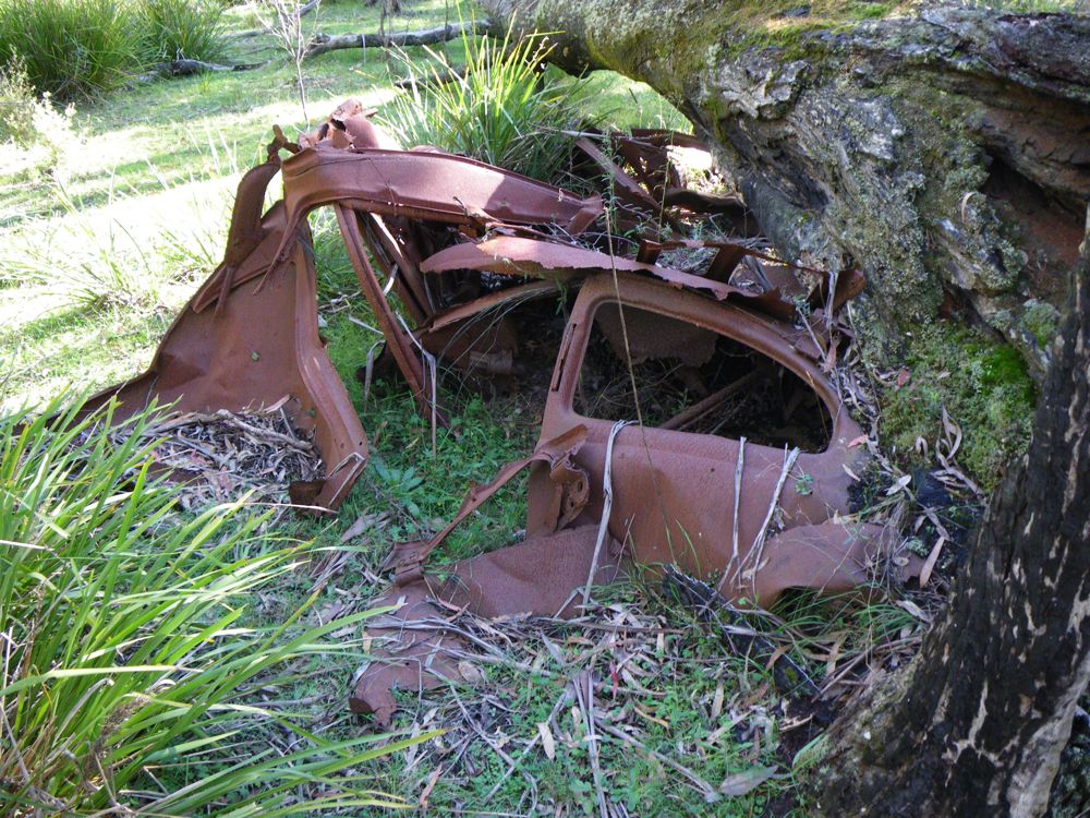
Above - looking along the swamp for water - we come across this old car
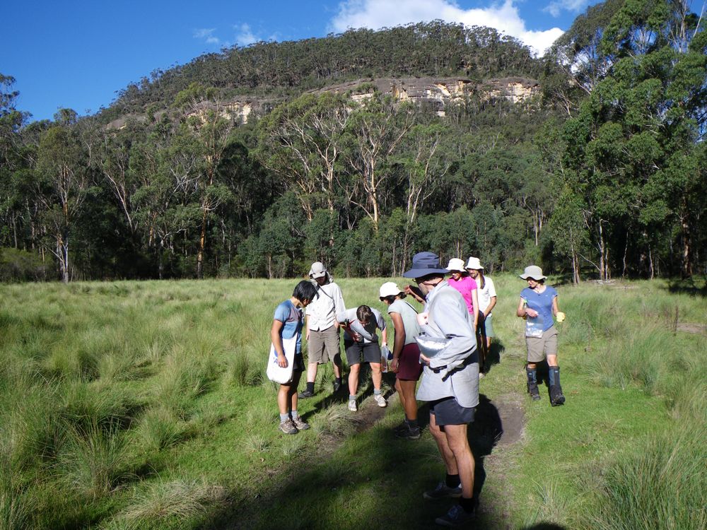
Above - a small puddle is the best source of water - but is not very
big. A bigger pool in the creek is very black however.....
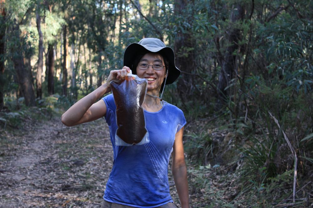
Above - Stacey with some of the creek's water - dark but drinkable
(well - better than nothing....)
Above - on the way up Mt Colong
Above - Wendy admires the view of Little Rick and the Burragorang Walls
Above - Kowmung Country
Above - Rik on Big Rick (Mt Colong), Rob also on the summit duck
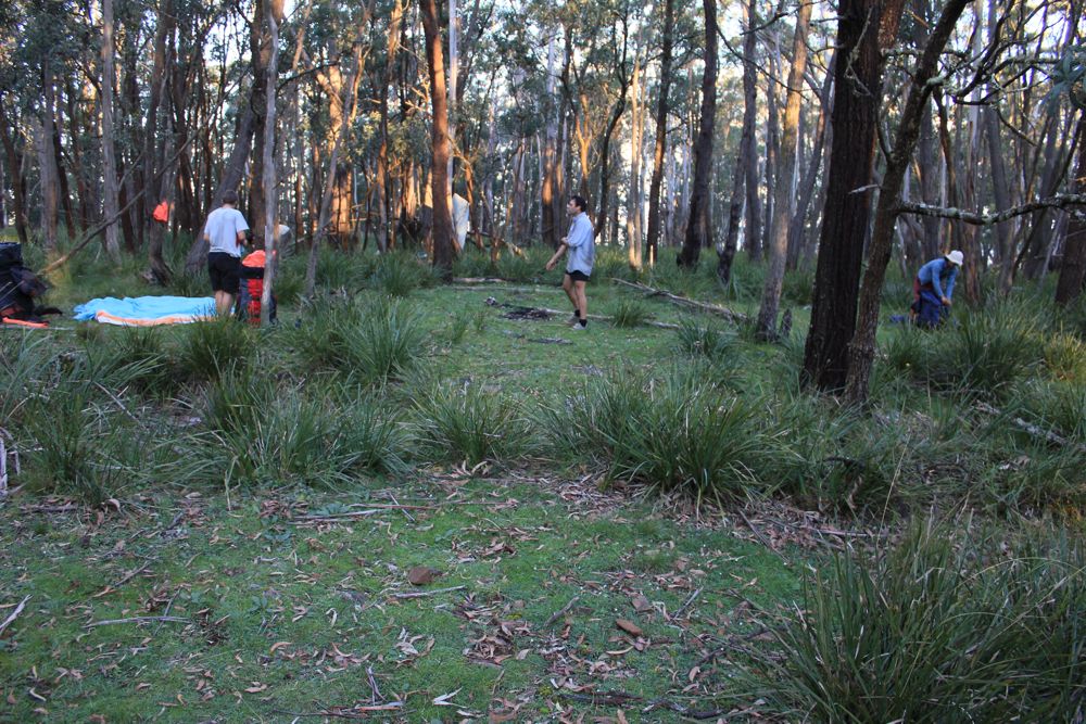
Above - we camp near the summit
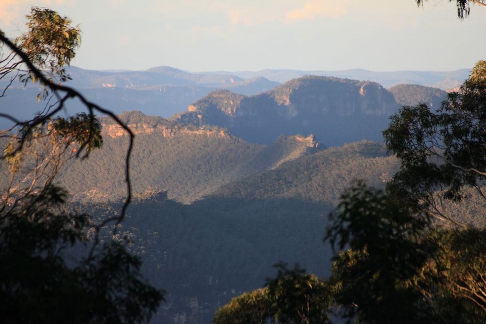
Above - dusk - Axehead Mountain
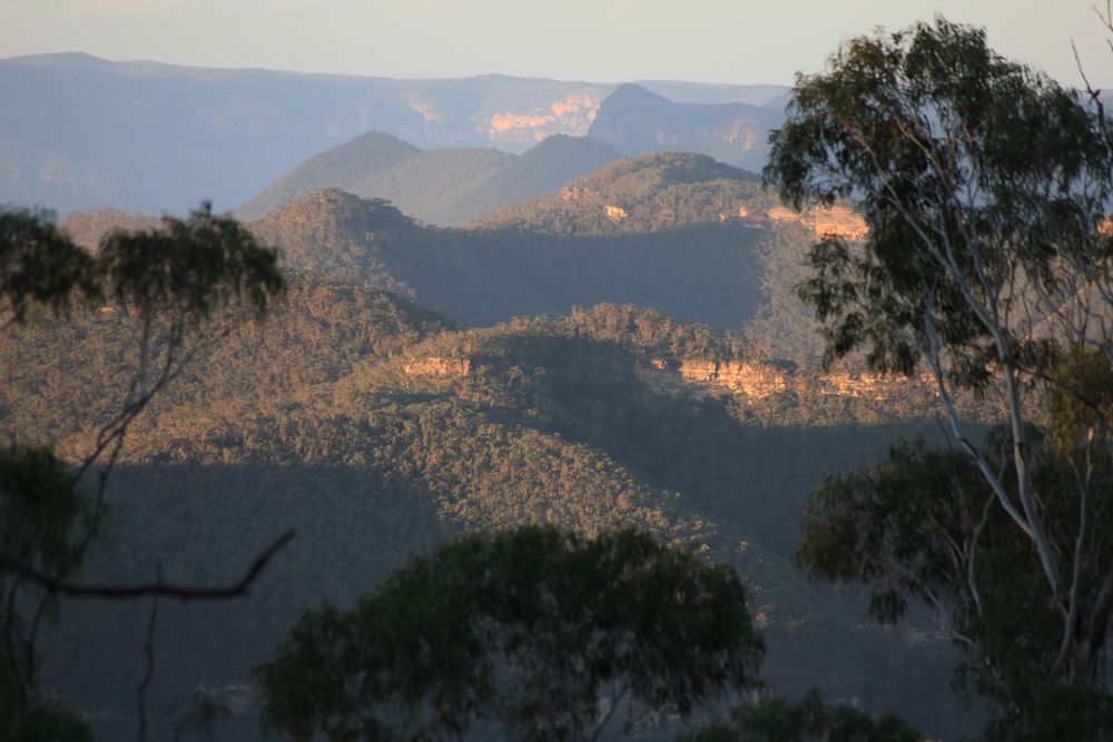
Above - dusk - Mt Broken Rock and Axehead Mtn
Continue to Day 3
Return to Menu Page
Return to david-noble.net