Mt Solitary Walk - 13 - 15 April 2013
All images © David Noble. No image can be used for any purpose
without permission.
Page 1 of 3
The photos are continued on page 2
and page 3
Also - I have place three panoramas taken from Mt Solitary on their
own pages - view south from Melvilles
Lookout, view east from
the Col, another view
south
I spent three days on a solo walk out to Mt Solitary and back from
Katoomba. I intended to walk down the Furber Stairs - but they were
closed off due to helicopter work - so I walked along to Echo Point
and descended the Giants Staircase instead. I then walked along
Federal Pass to the landslide and continued on to Mt Solitary.
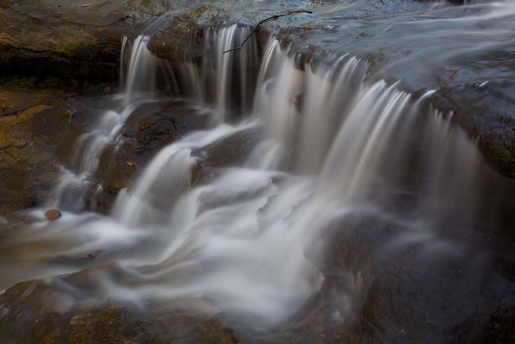
Above - Katoomba Cascades - above Katoomba Falls

Above - The first of the Three Sisters and Mt Solitary behind
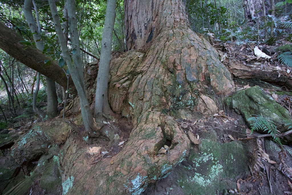
Above - old turpentine - Federal Pass

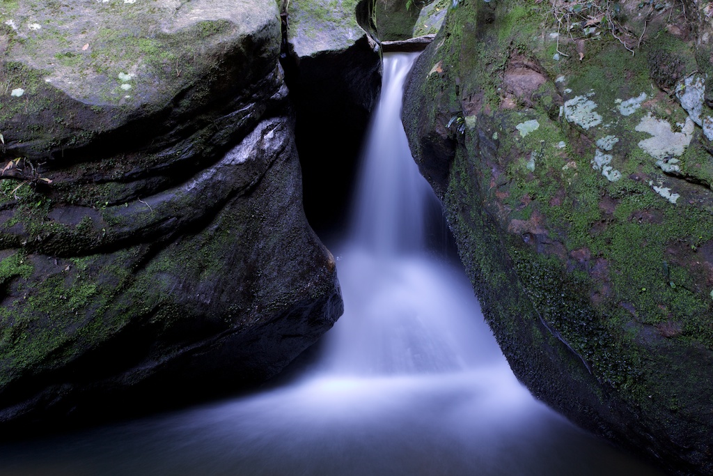
Above - small waterfall
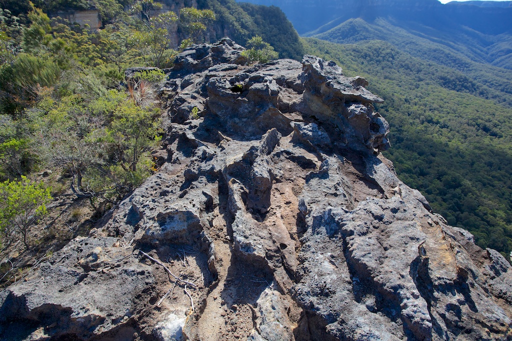
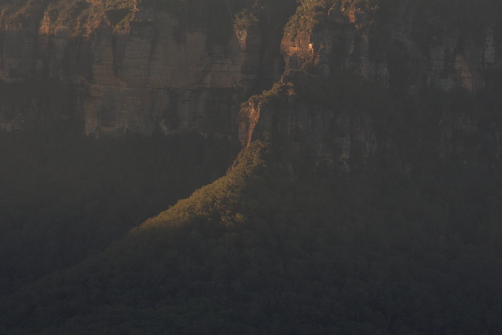
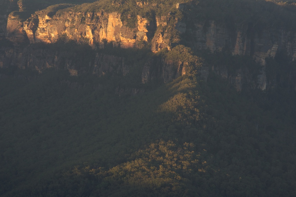
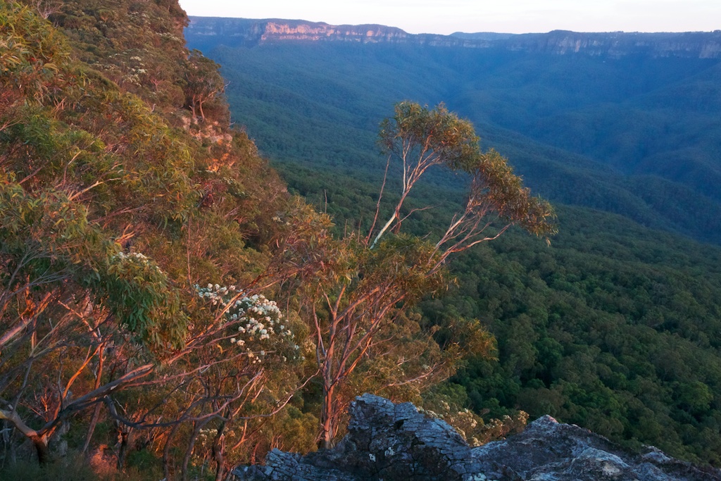
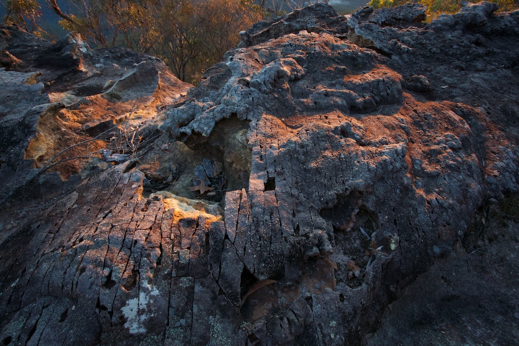
Above - view from a lookout near the outlet of Chinamans Gully - Mt
Solitary
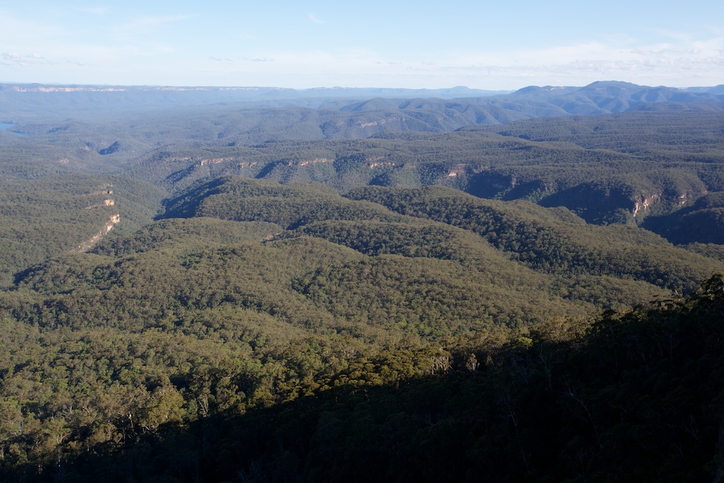
Above - view south from Melvilles Lookout
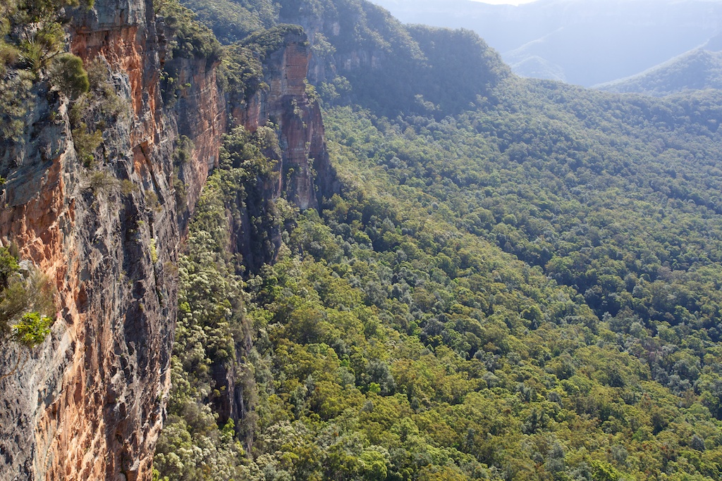
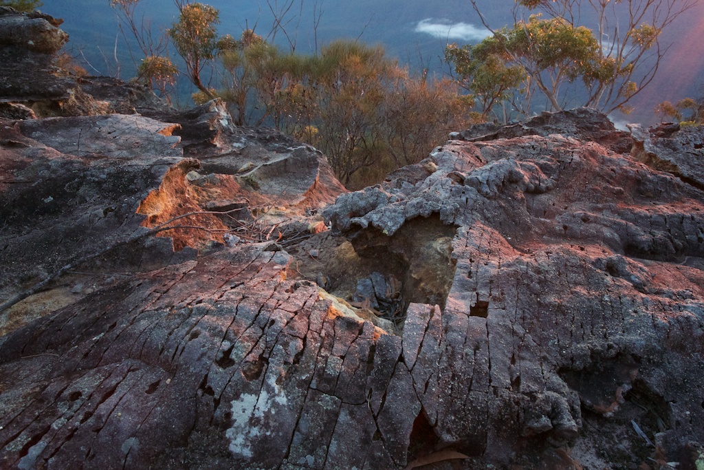
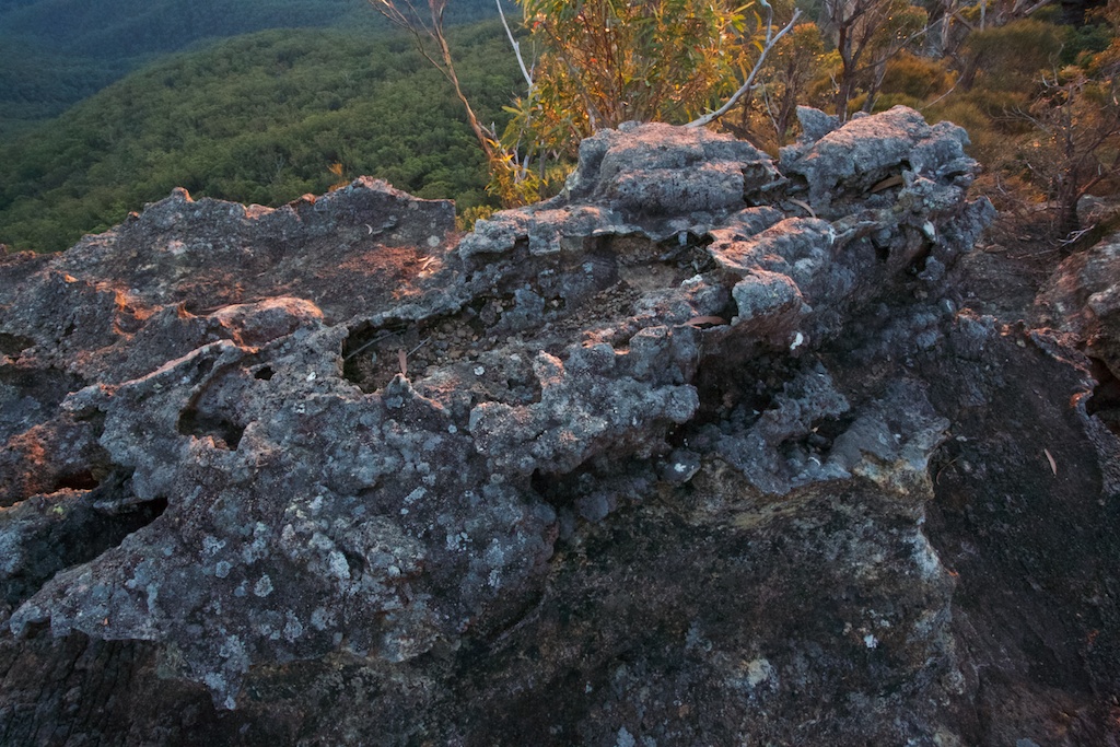
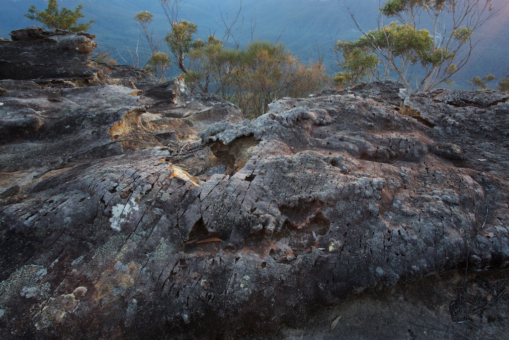
Above - view from a vantage point on the northern cliffline

Above - view north from my campsite at Singa-Jingawell Creek

Above - the Three Sisters
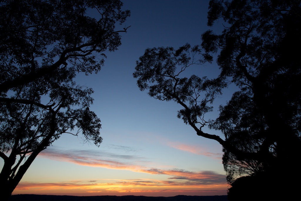
Above - Sublime Point
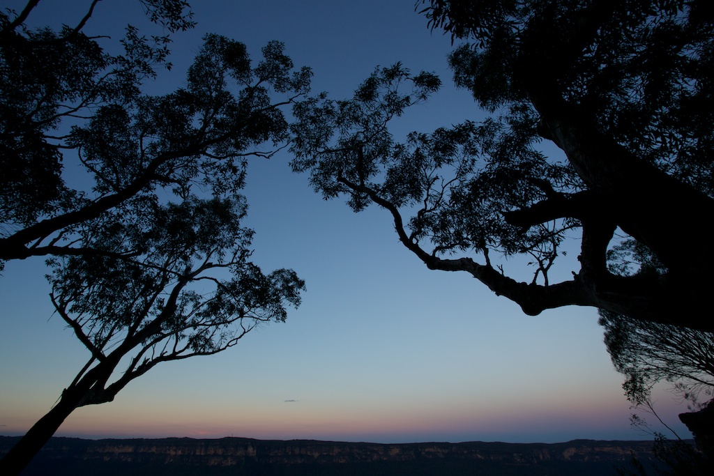
Above - dusk - the Girdle of Venus
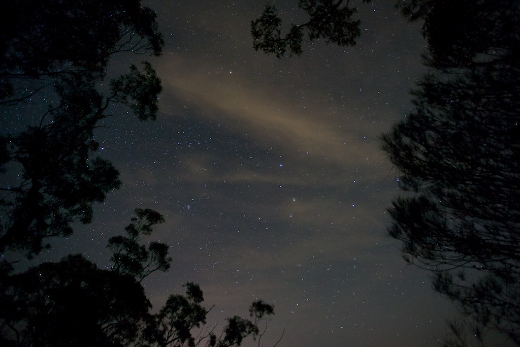
Above - evening stars

Above - pre-dawn, at 5:18am - the planet Mercury (the brightest
object) and about 3cm to the right at the same level - Comet Lemon -
a green dot with the hint of a tail. The light comes from Sydney. It
was too dark to see the clouds and the comet with the naked eye.
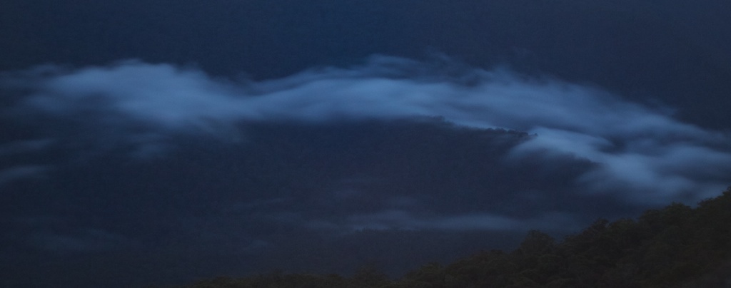
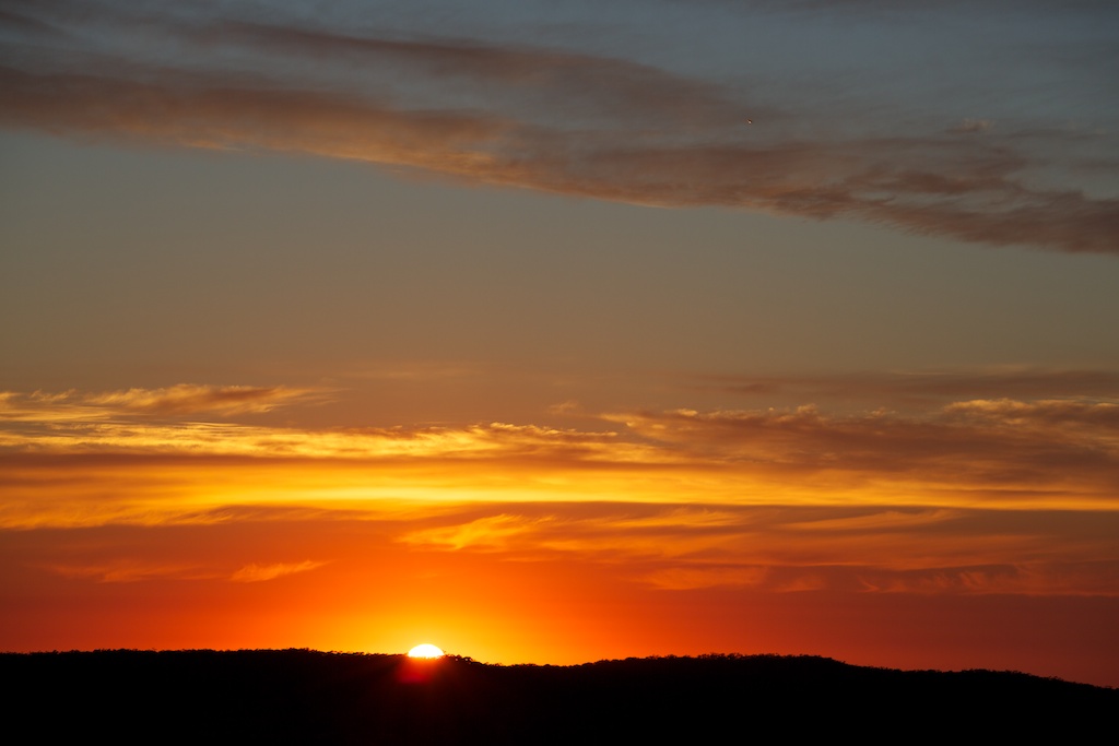
Above - valley mist - Jamison Valley. The mist rolled in about
5:30am and then rolled back out - by sunrise.


Above - this lyrebird was foraging around the campsite


Above - view from The Col - on the east side of Mt Solitary
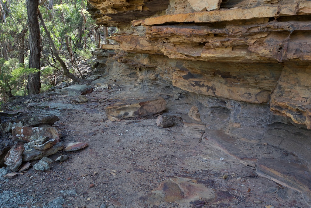
Above - campcave above Singa-Jingawell Creek. This nice cave was
about 20m above the creek level and about 200m downstream from the
main campsite. Back in the 1970's I can remember camping a few times
in a cave in Singa-Jingawell Creek - I don't think it was this one.
I think it was much closer to the creekbed. Perhaps further
downstream?
Continue to Page 2
Return to david-noble.net