Wolgan Tops Walk 21 - 22 June 2008
Google Earth Images

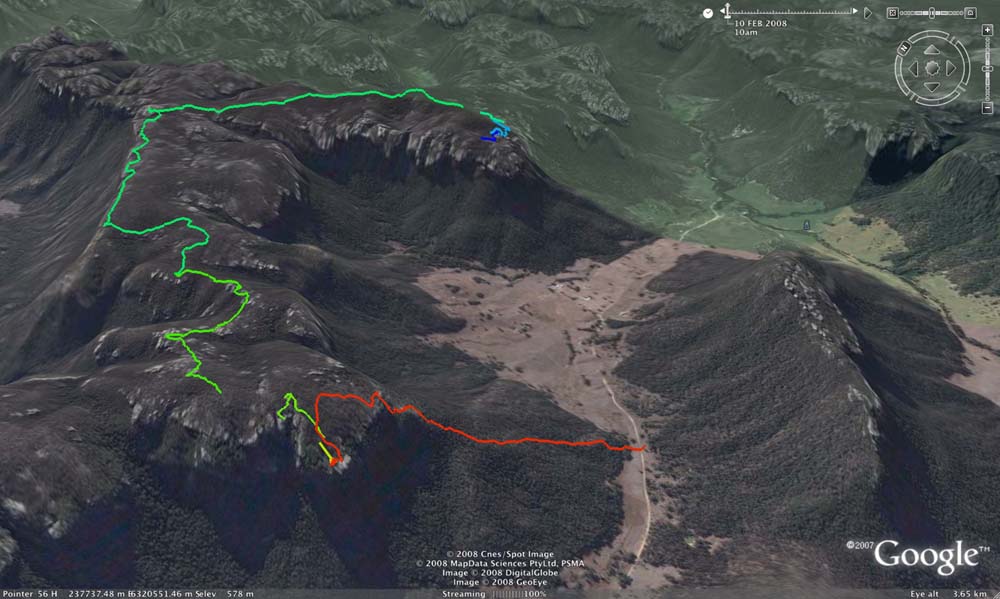
Above - GPS plots of most of the walk. The red shows the pass up the
cliff to the big pagoda. The first green path shows the route to our
campsite. The two gaps show sections when I forgot to restart the GPS
track after lunch. The batteries ran out just before the pass down on
the right and the walk back along the road. The extreme top of the
route is Mt Dawson.
Above - Another view of the walk - also showing Donkey Mtn
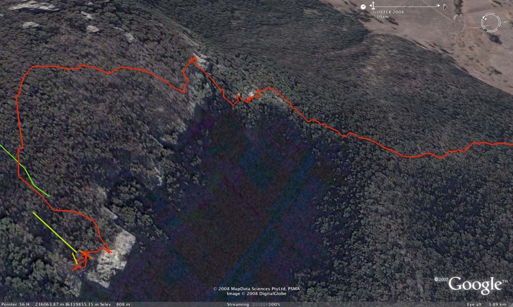
Above - The pass up - which was excellent - involving route finding and easy scrambling.
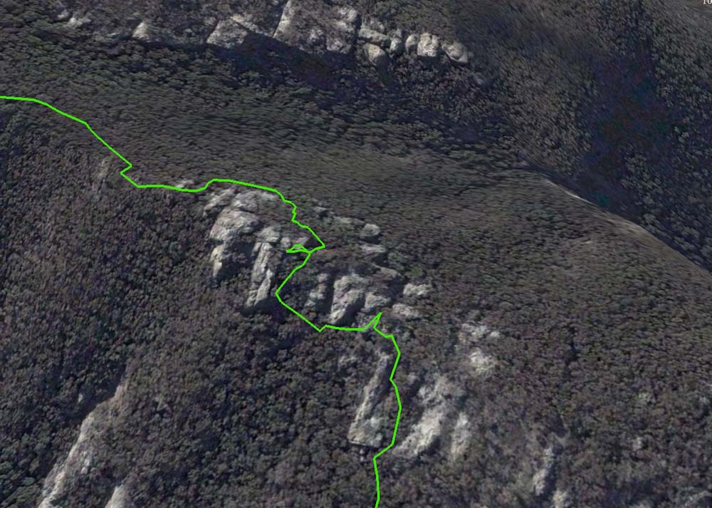
Above - Here the GPS plot does a good job showing our route through some pagodas late on the first day
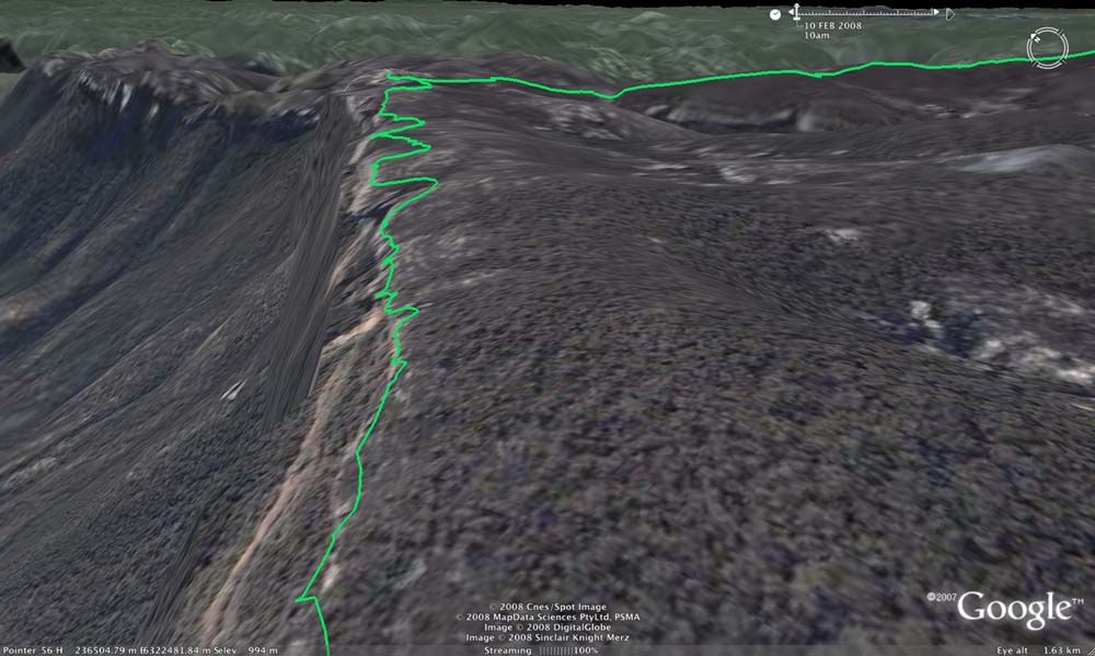
Above - This was the section we walked along the spectacular cliffline
between Point March and Mt Dawson rather than walking along the
cliffline. Good views all the way.
Return the Menu
Return to david-noble.net