Wolgan Tops Walk 21 - 22 June 2008
All images © David Noble. No image can be used for any purpose without permission.
Day 2
Continued from Day 1 Page
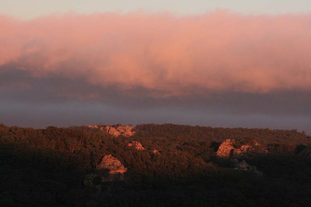
Above - Dawn - the first light hits nearby pagodas

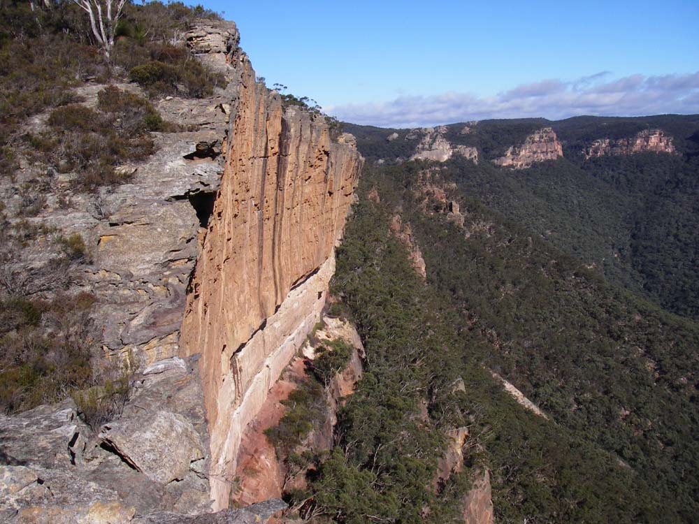
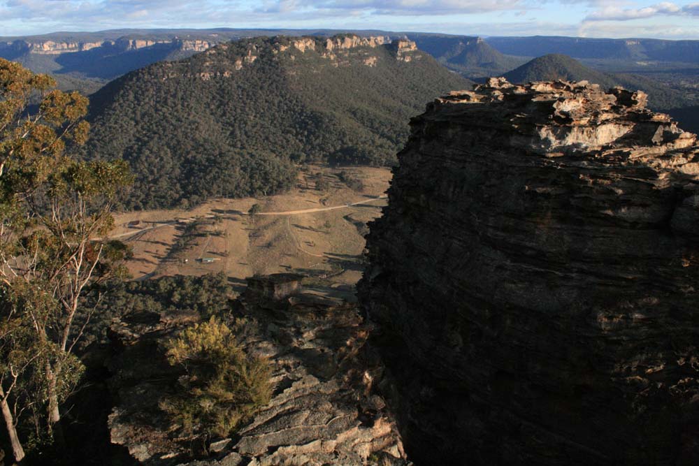
Above - cliffs
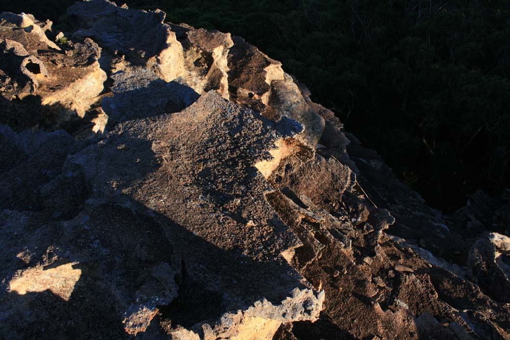
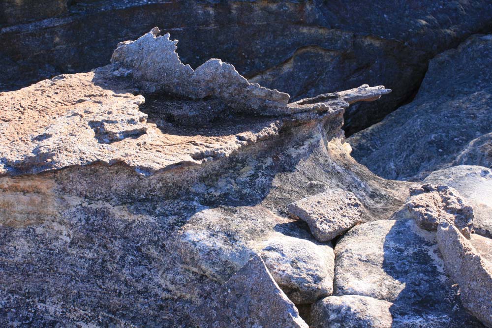
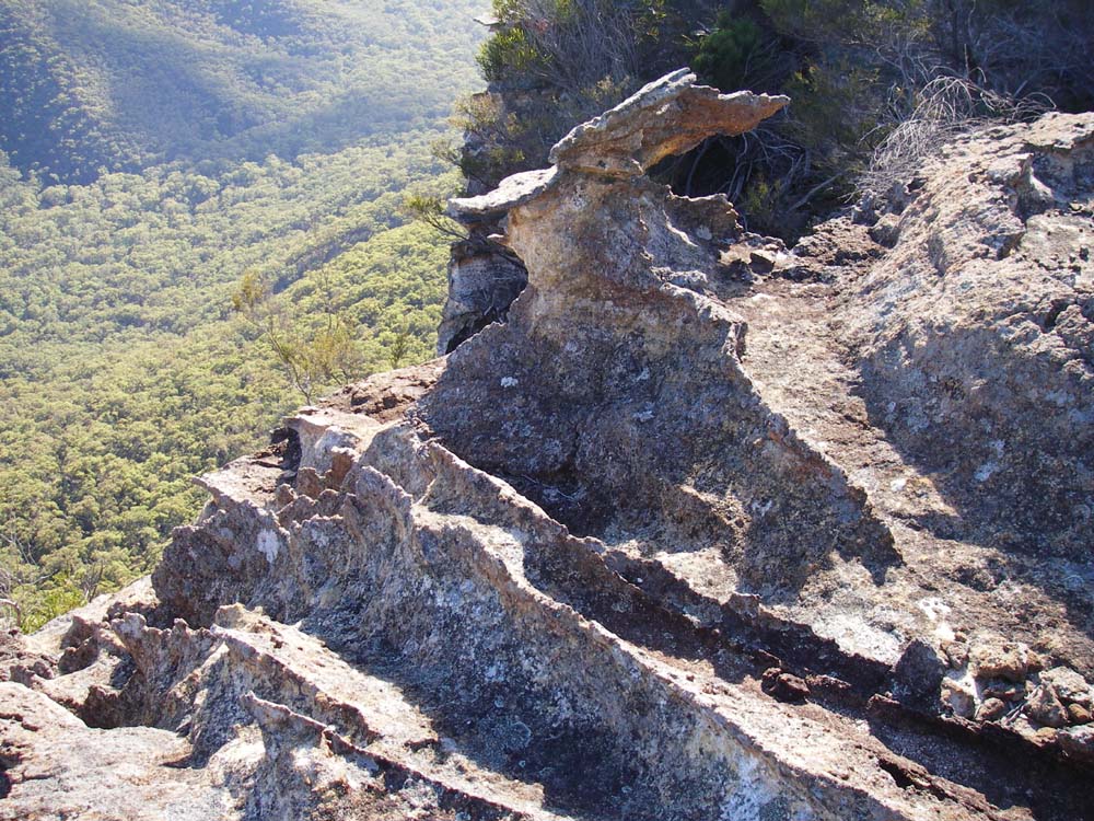
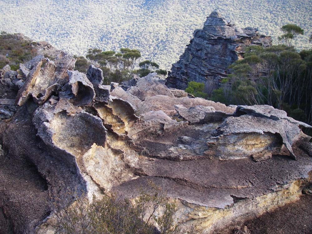
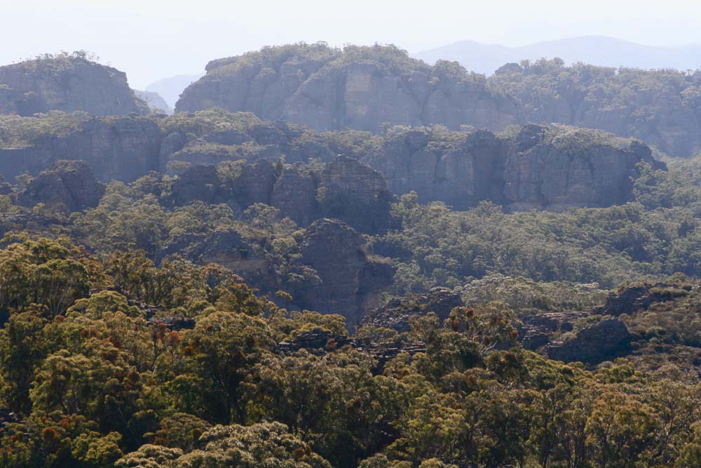
Above - rock formations
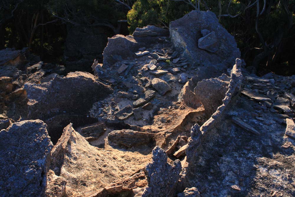
Above - rock formations
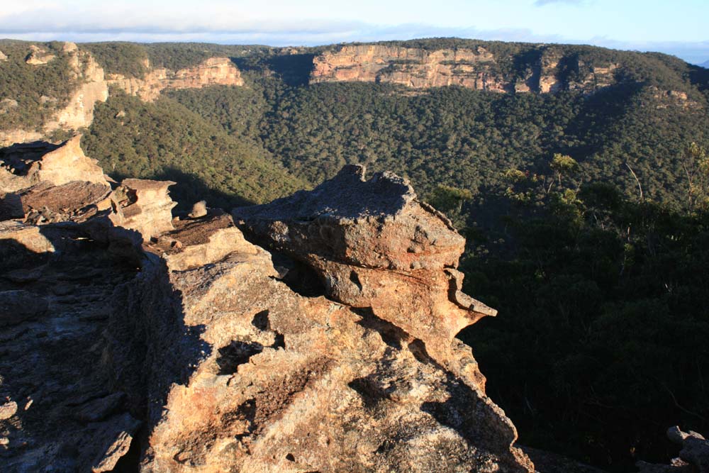
Above - Looking west
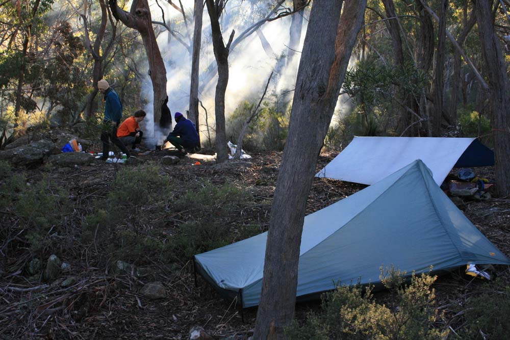
Above - at the campsite
Above - rock formations

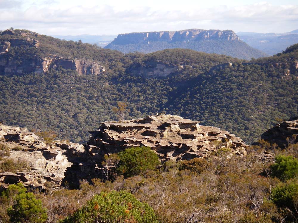
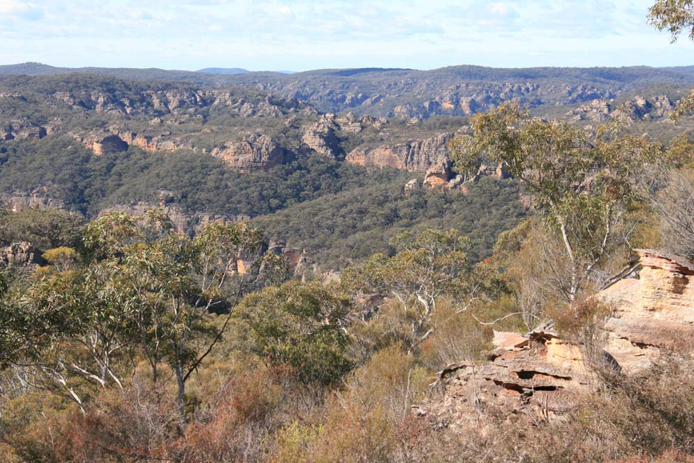
Above - Capertee Clifline - from near Point March. Looking along to Mt Dawson (distant right) and the Red Rocks
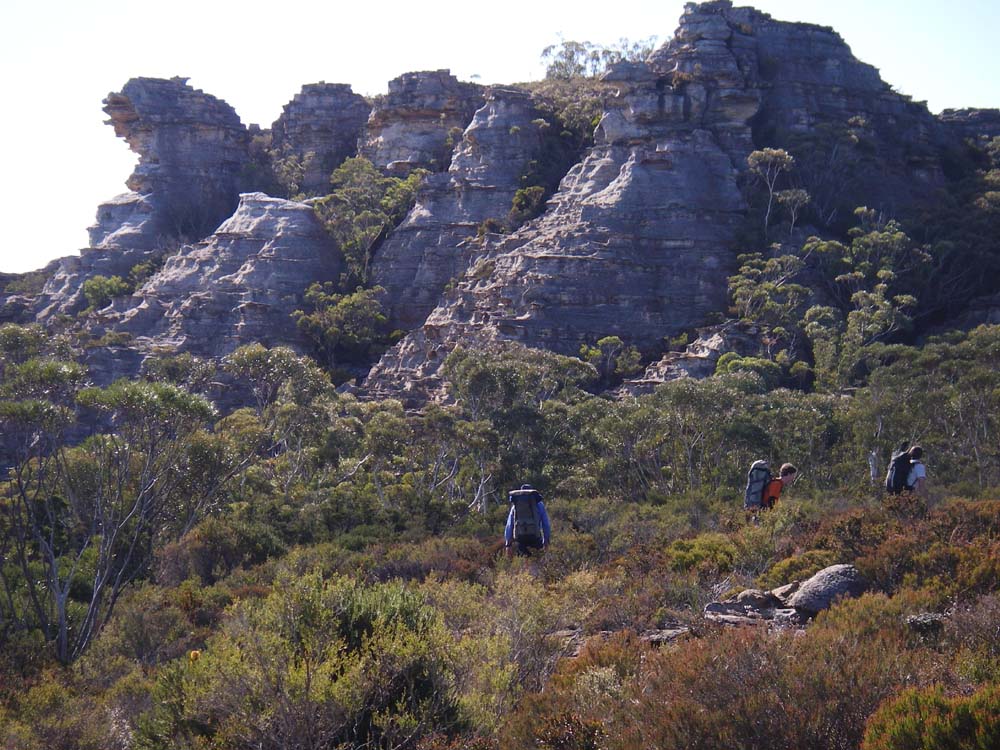
Above - Looking towards Mt Harvey
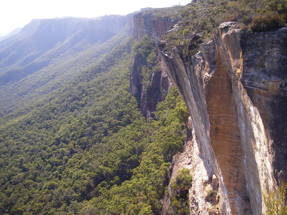
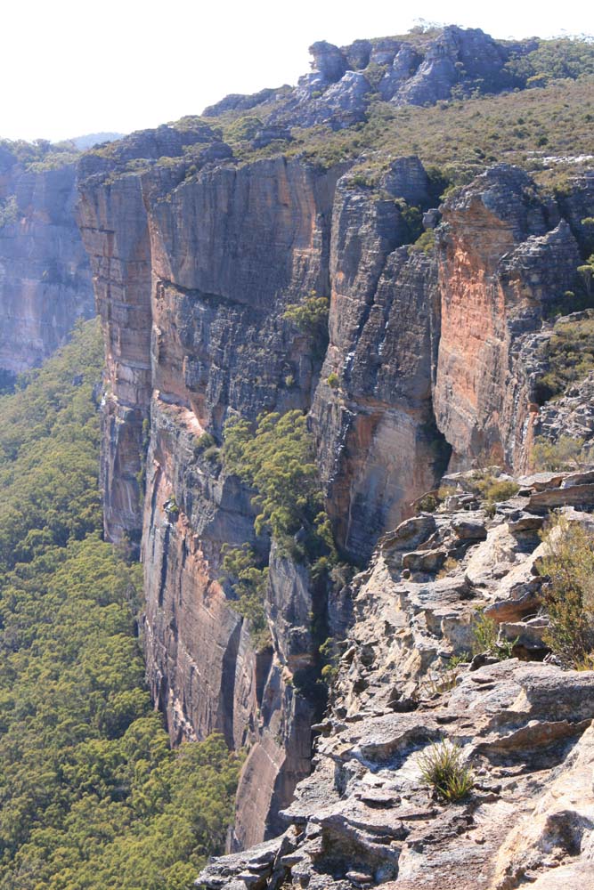
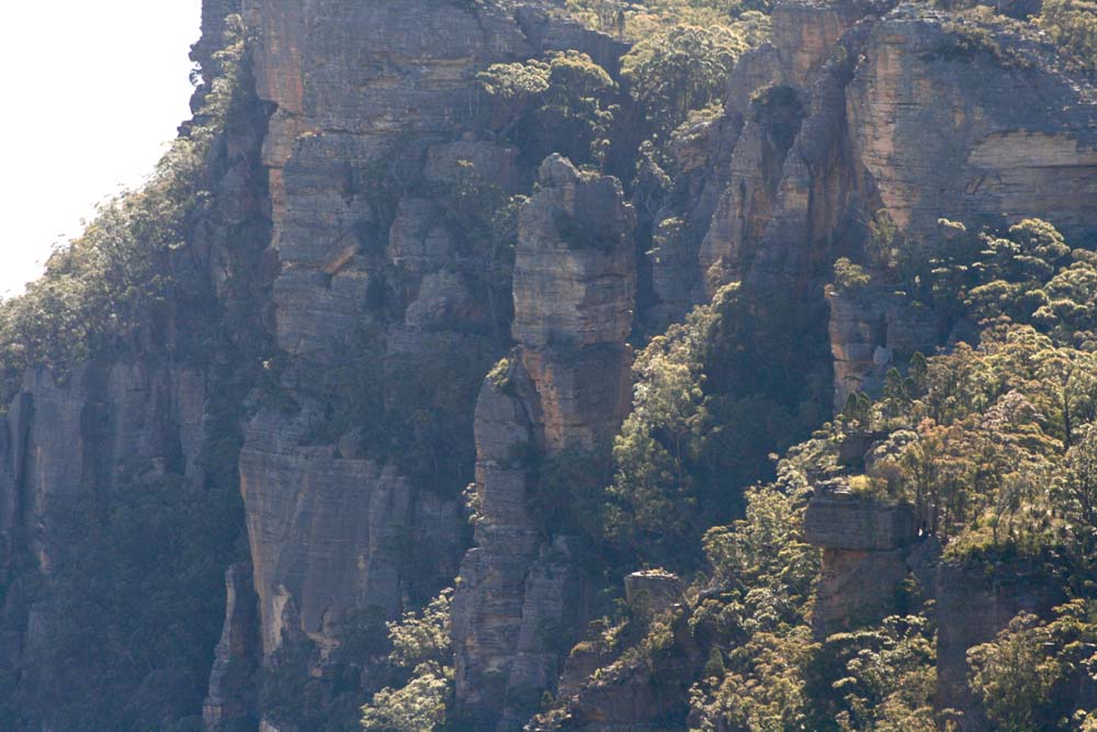
Above - cliff views
Above - cliff views
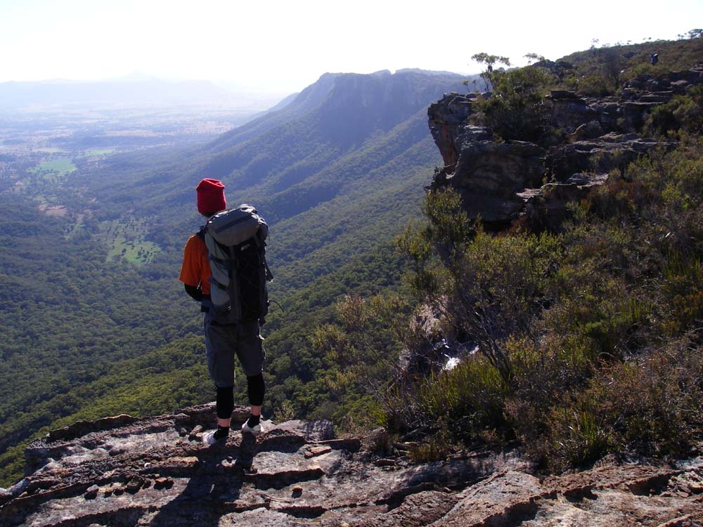
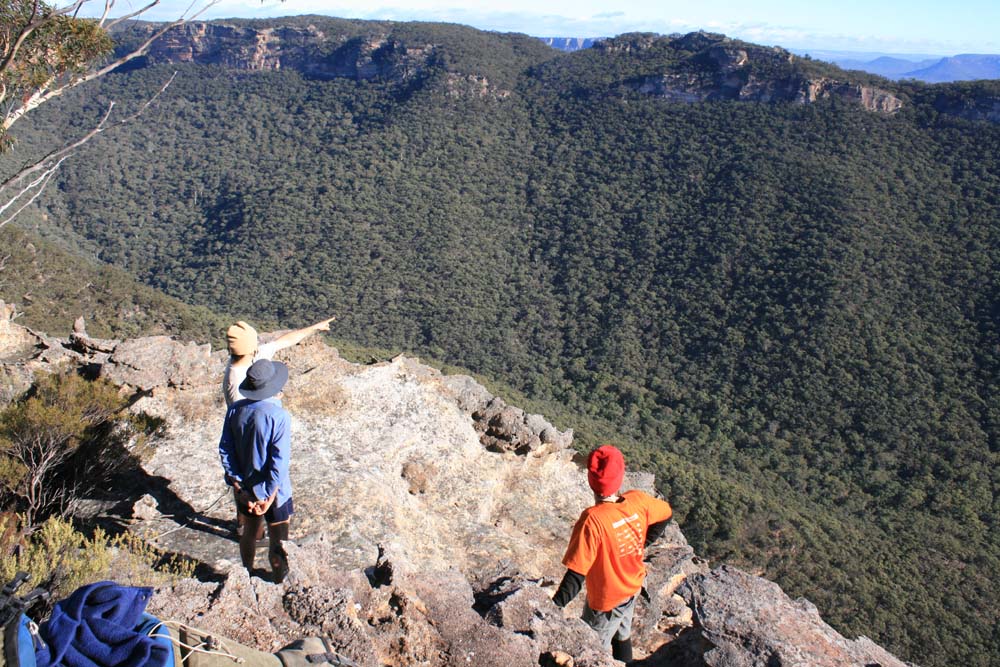
Above - Dan admires the view
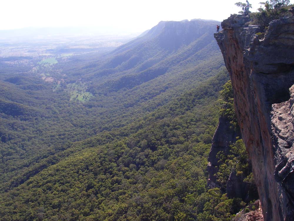
Above - Dan admires the view
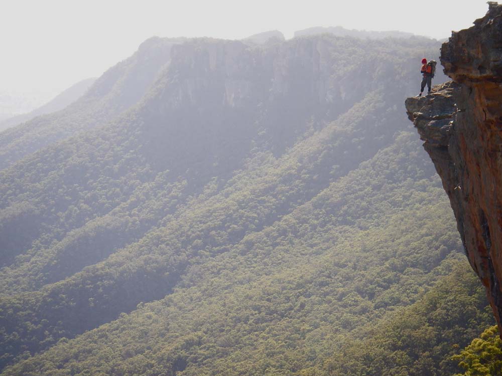
Above - Dan admires the view
Above - rock formations
Above - Pantoneys Crown
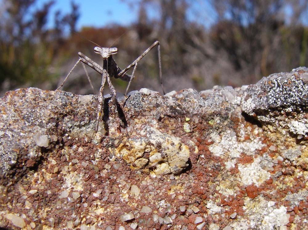
Above - Prey - what is this!
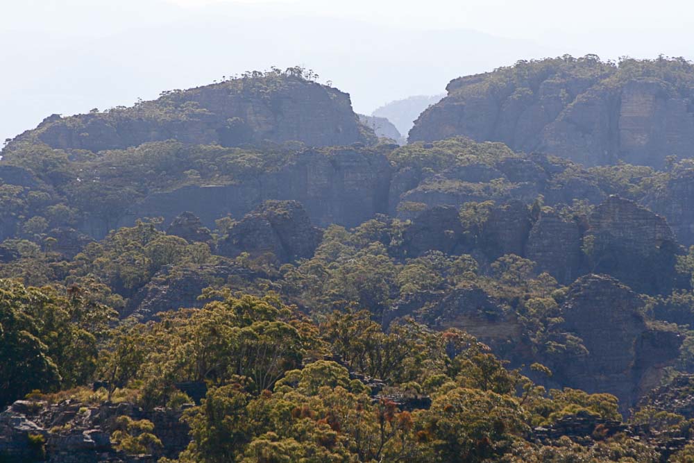
Above - clifflines near Mt Dawson
Above - rock formations
Above - Approaching Mt Dawson
Above - Looking along the Red Rocks clifflines from Mt Dawson - two of the pinnacles are in view - Ross's Knob in the middle
Above - Red Rocks Pagodas
Above - the complexity of the Red Rocks and the Wolgan/Capertee divide
Above - View of pagodas above the Wolgan
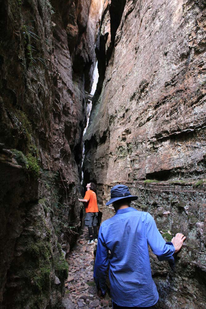
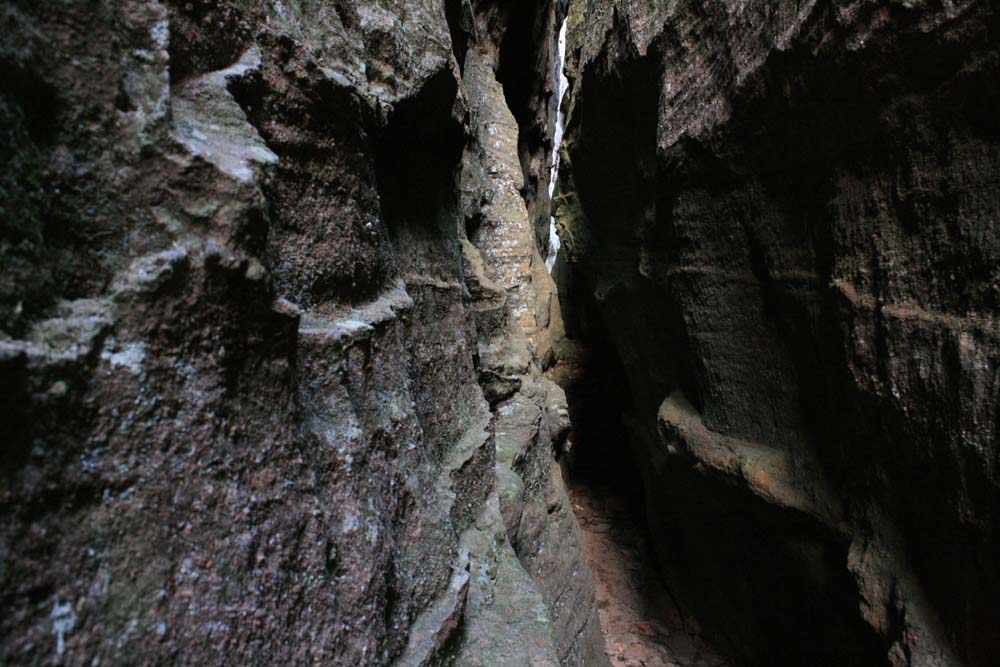
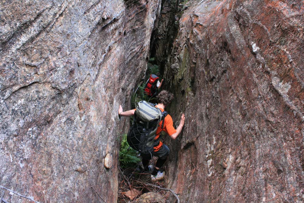
Above - We took the opportunity to explore two nearby dry canyons. This
one - Crackula is short but very narrow. Dan and Rob enjoy the canyon.
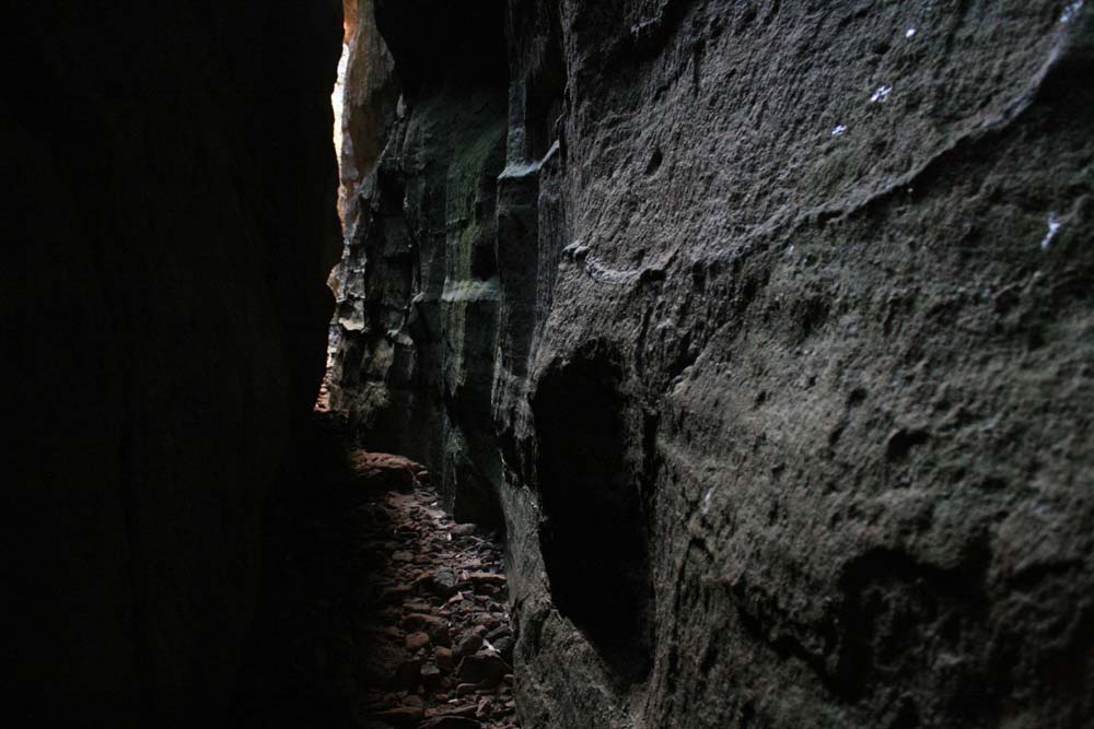
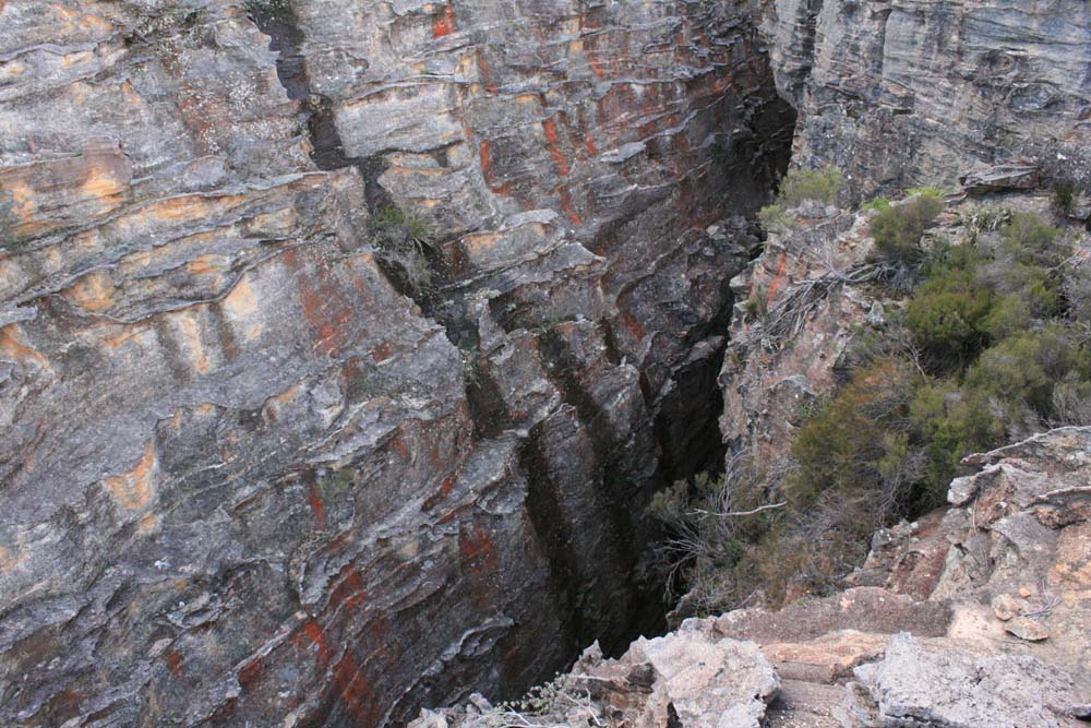
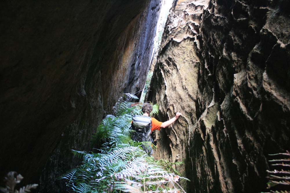
Above - Canyon formation
Above - Canyon formation

Above - Canyon formation
Above - Canyon formation
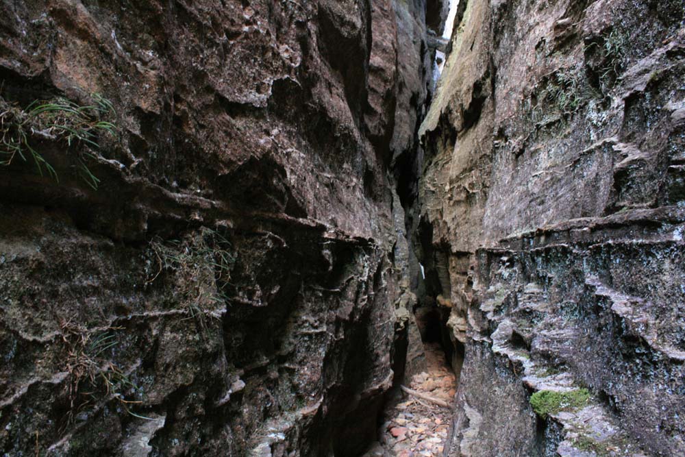
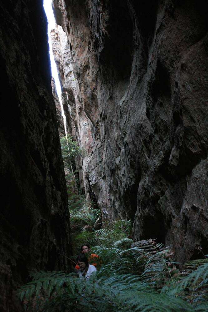
Above - Looking into the second of the canyons - Crackatoa Canyon
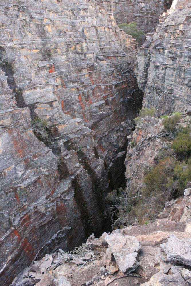
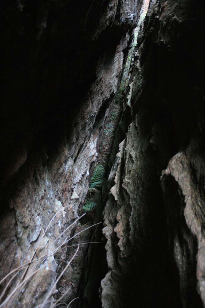
Above - Canyon formation

Above - Canyon formation
Above - Steffi and Dan start off down the canyon
Above - dan in the canyon
Above - Martin and Dan in the canyon
Above - Canyon formation
Above - Our last views - overlooking Donkey Mountain

Above - Our pass down involved going through this "room" like section
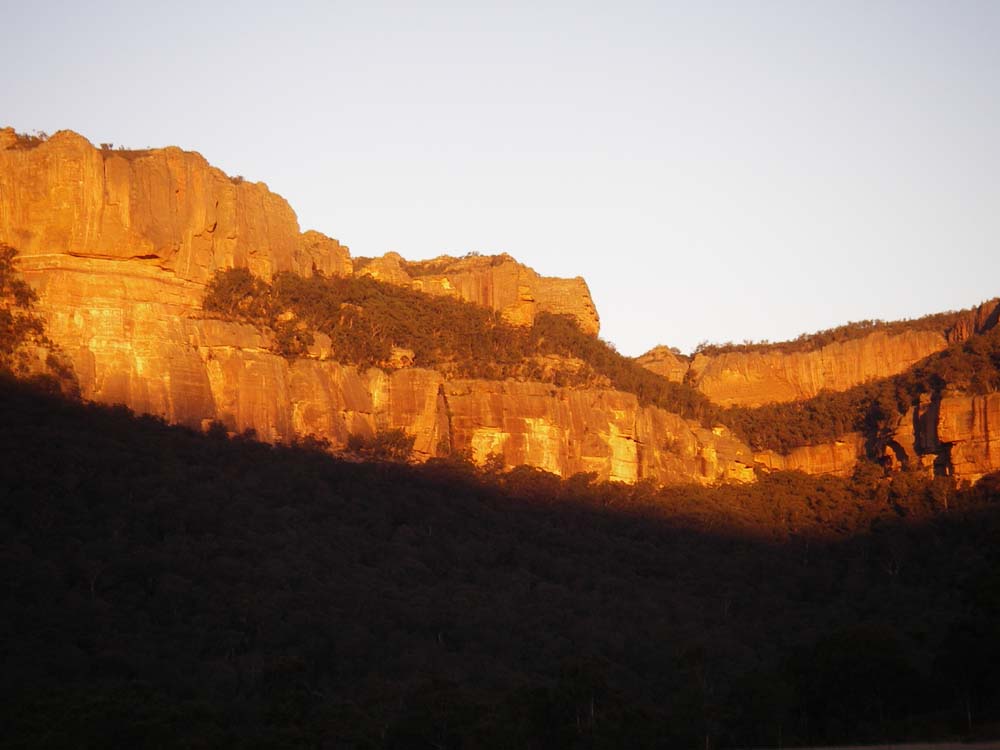
Above - Looking back at Sunset to the Wolgan cliffs
Return to Menu
Return to david-noble.net