Anderson - Oaks Trails - 24 August 2008
All images © David Noble. No image can be used for any purpose without permission
Riders - Albert, Rob, Dave

Above - Albert on the McMahons LO Road
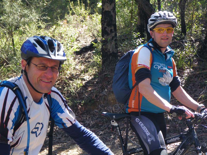
Above - Rob and Albert
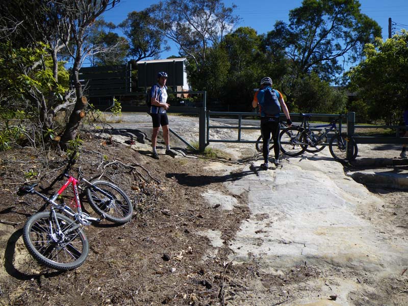
Above - at the start of the Oaks Trail at Woodford
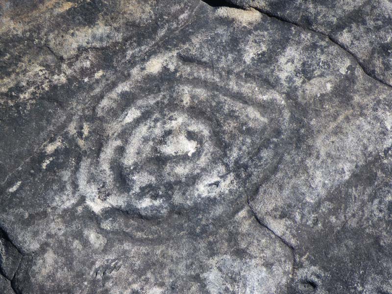
Above - The Circles
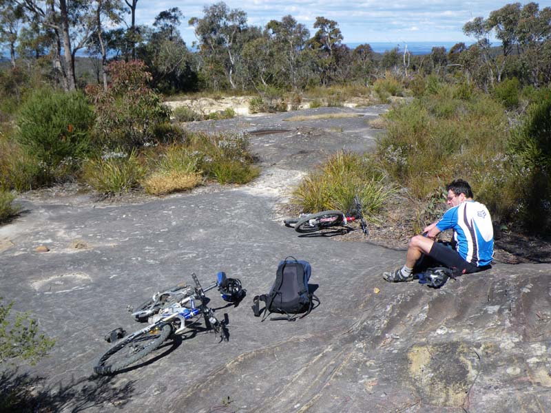
Above - Rob having lunch at the Circles
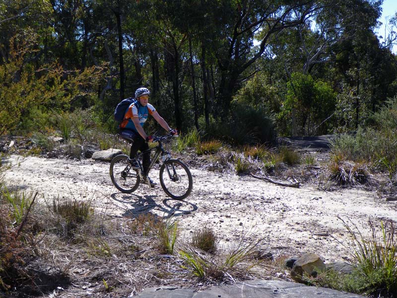
Above - Albert on the trail
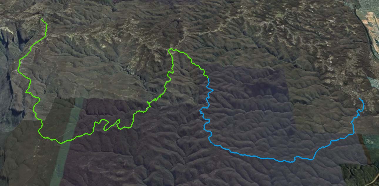
Above - Google Earth view of the GPS log. The colour change marks the Circles

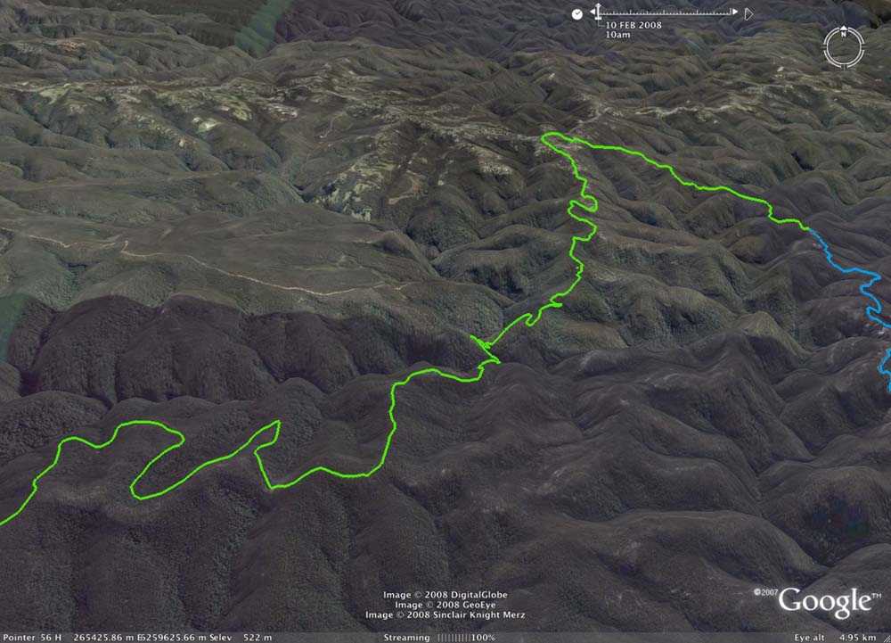
Above - another view
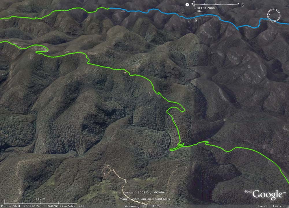
Above - A sectin of the Anderson Trail - leading down to Bedford Ck
Above - Bedford Creek crossing. Also note Ingar lake towards the bottom left
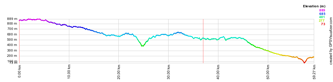
Above - GPS profile
The Google Map of the ride is here
Return to rides menu
Return to david-noble.net