Appin XC Track - 5 july 2008
All images © David Noble. No image can be used for any purpose without permission
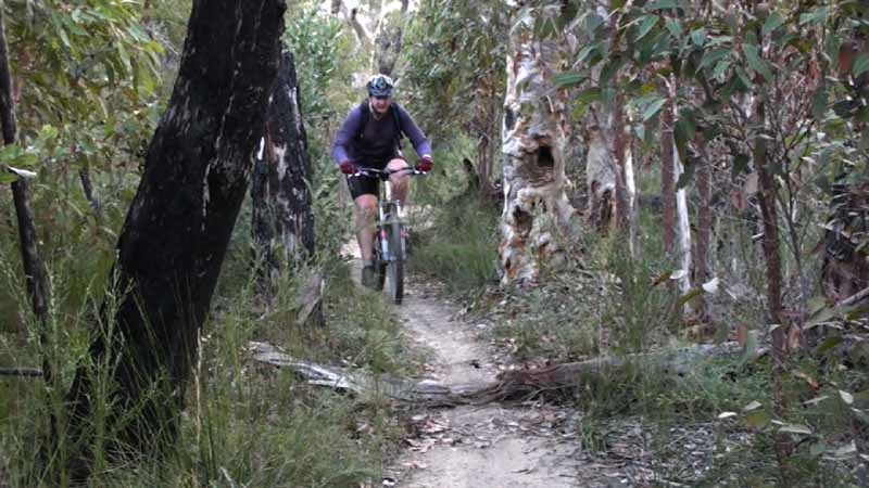
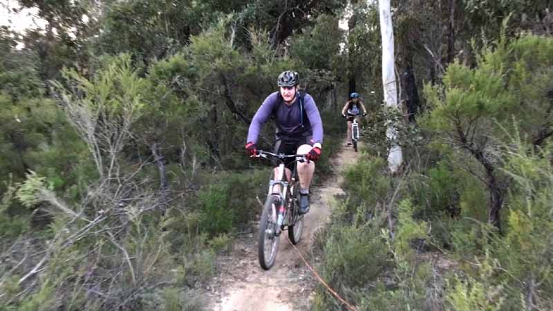
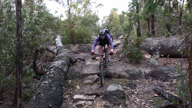
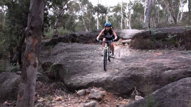
Riders - Chris, Clare, Dave
This was the first trip to this area for all of us. The cross country
track was great fun - nice winding single track. We only had time for
one loop. Chris and Clare like it so much that they went back to it the
next day. The idea for the trip came from the trailflix website where it is well described here. Thanks Grant Byrne. The track was developed by Wollongong MTB Club and it may be worth checking their website to make sure there are no races. The loop we did was around 10 kms long.
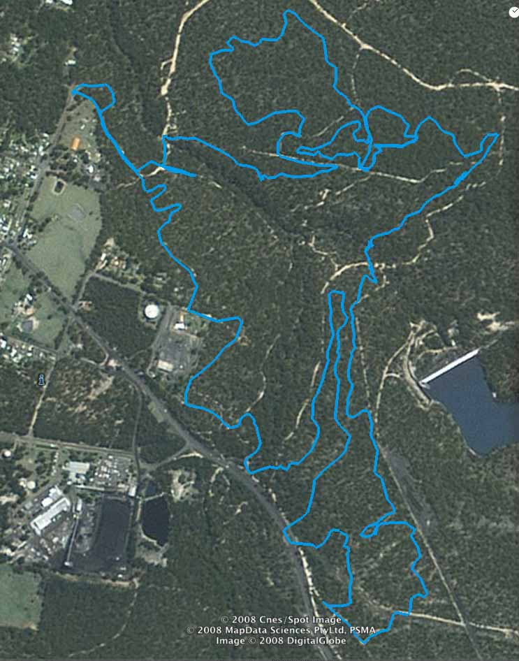
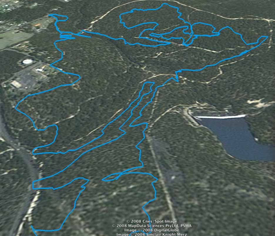
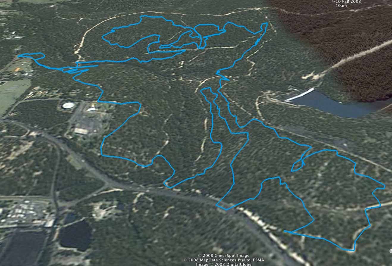
Above - here is the Google Earth GPS plot of the loop that we did. A Google maps version that is zoomable can be found here. More Google Earth images and the ride prefile can be found after the photos.
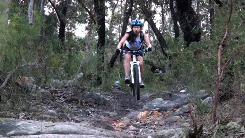
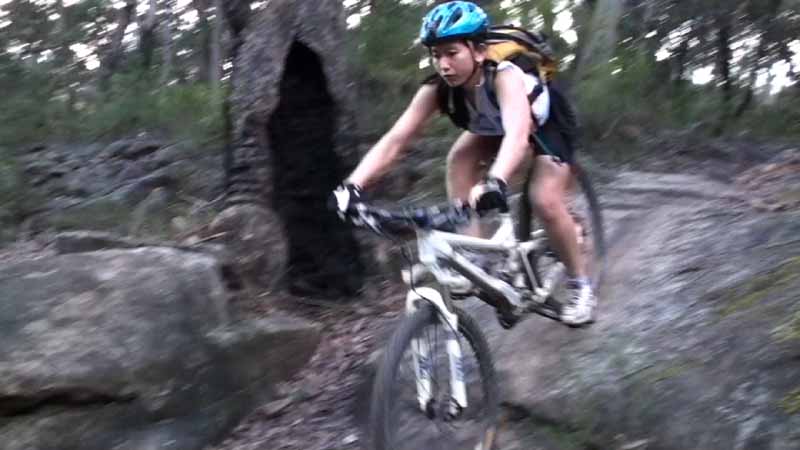
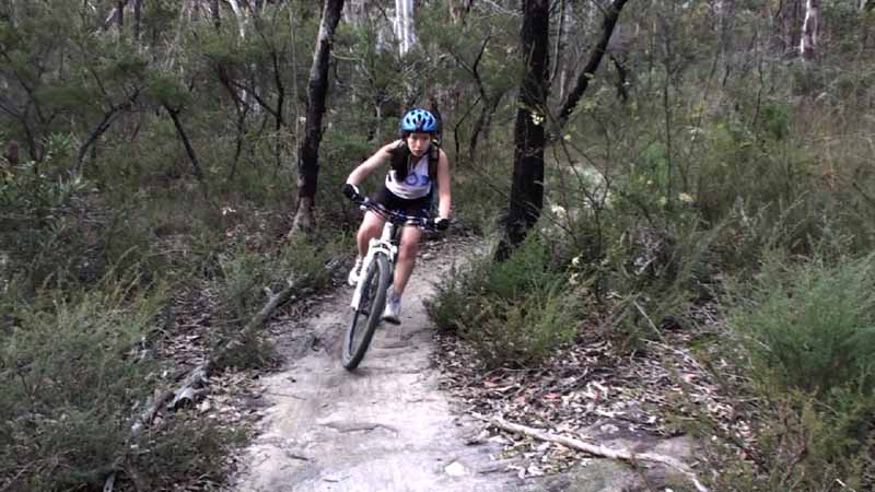
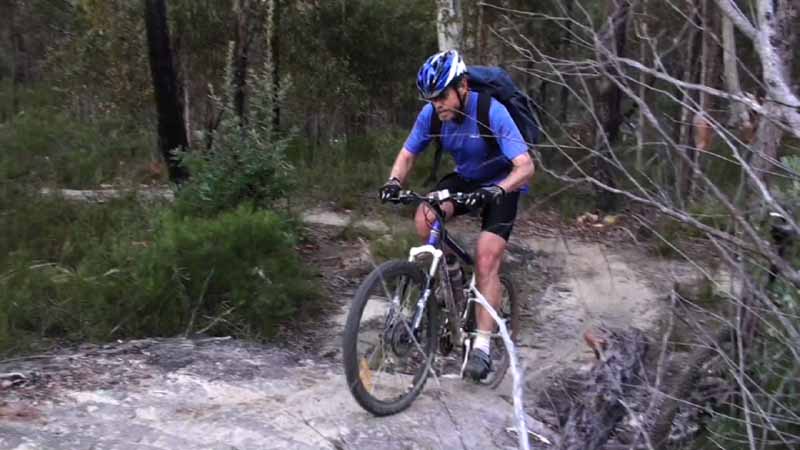
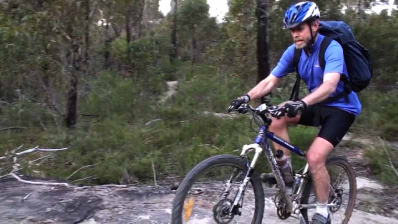
Nearly all these photos are frames of digital video.
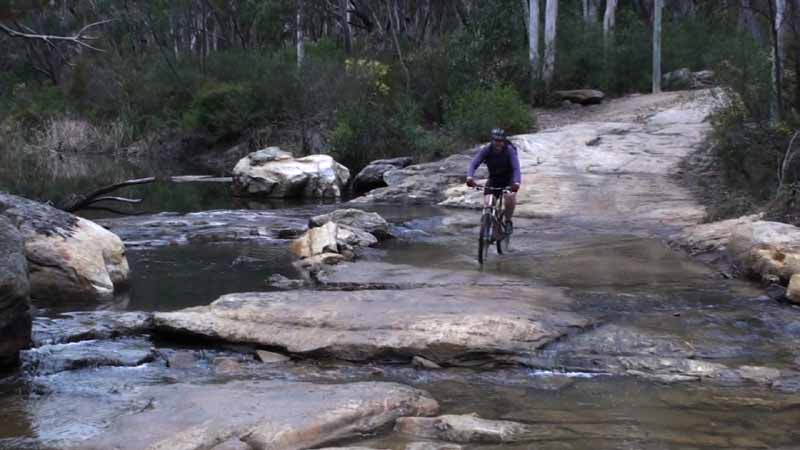
Above - Chris on the first creek crossing

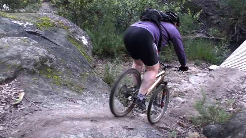
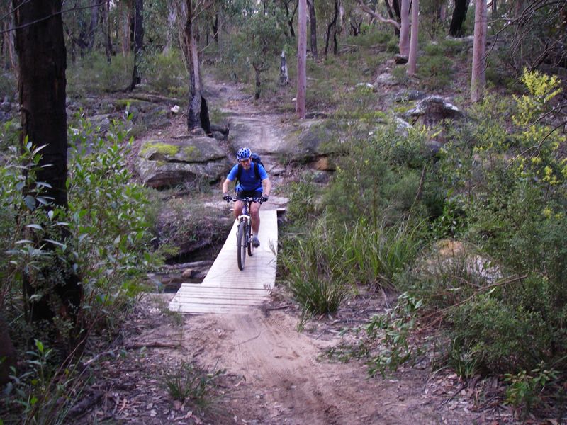
Above - Chris on the drop-off just before a wooden bridge
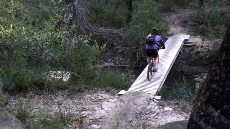
Above - This wooded bridge is about at the 5 km point


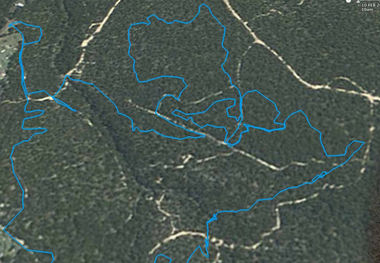
Above - the northern section of the trail. The wooden bridge seen in
the photos is at the end of the long SW trending downhill run that goes
from the far right. The home leg is on the bottom left.
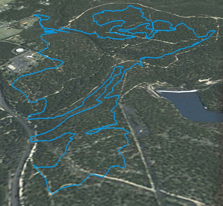
Above - a more oblique view
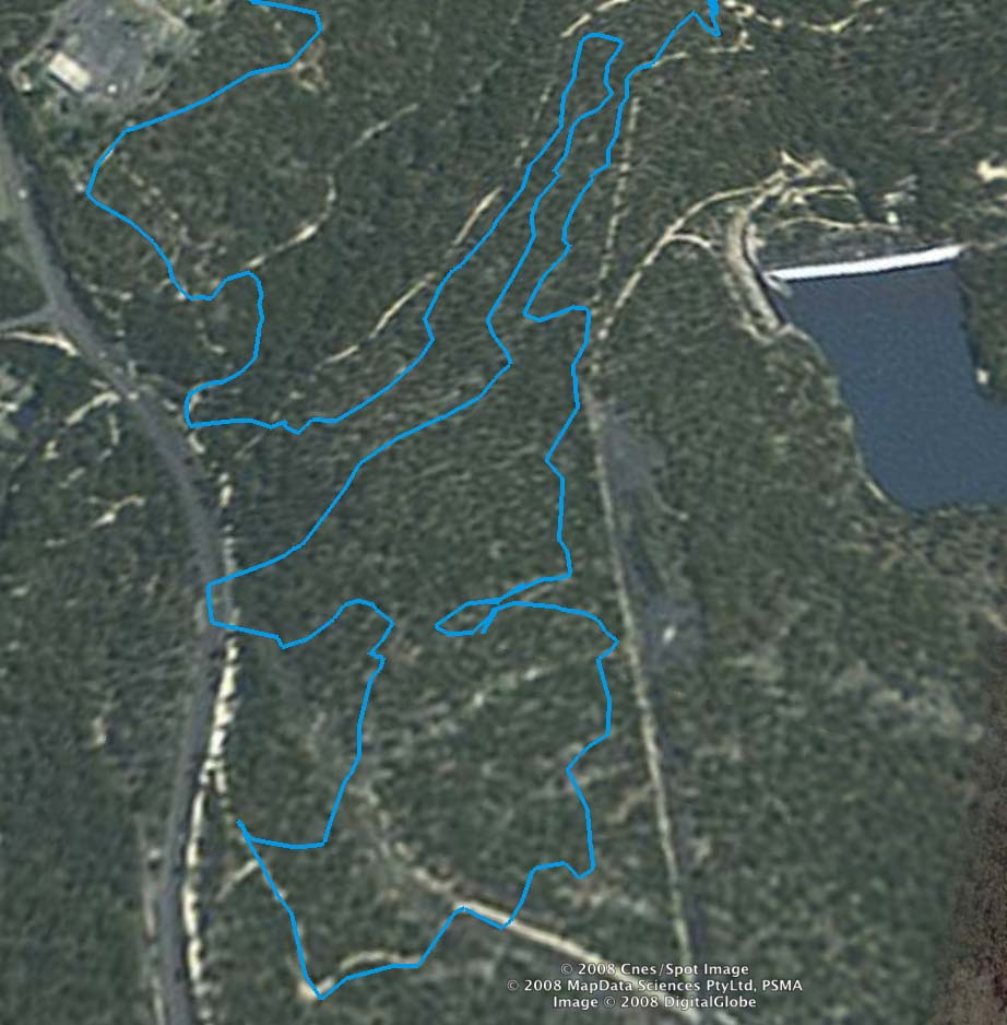
Above - The southern section
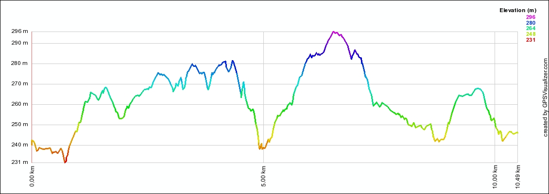
Above - Ride profile - the first dip is the first creek corssing. 5kms
marks the wooden bridge and the end of the northern loop. The next
major dip marks the end of the southern loop and the start of the
return leg.
Return to rides menu
Return to david-noble.net