Appin XC Trail - 10 July 2008
I went back to Appin, this time with Digi Dave and we did a couple of loops.
Here is a better GPS plot of the main loop. It is about 10 kms long.
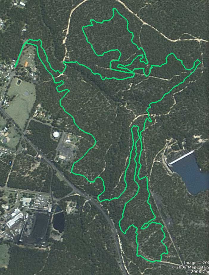
Above - The main loop follows the green plot in a clockwise direction.
The best way for the last bit of the return - to avoid a large section
of mud at the end - is at the last fire road crossing - turn right and
follow the firetrail down about 50m then return on the trail you
entered.
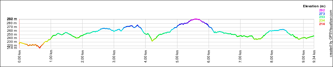
Above - Here is a profile of the main loop. I have reduced the vertical exageration.
The Google maps GPS plot can be viewed here.
Return to Rides Menu
Return to david-noble.net