Homebush Bay Ride - 6 July 2008
All images © David Noble. No image can be used for any purpose without permission
Riders - Kim, Dave
I had a cold - so didn't want to do anything too strenuous - so a ride
around Homebush Bay with Kim sounded like a good idea. It was a very
pleasant day of riding with plenty to see (and hear).
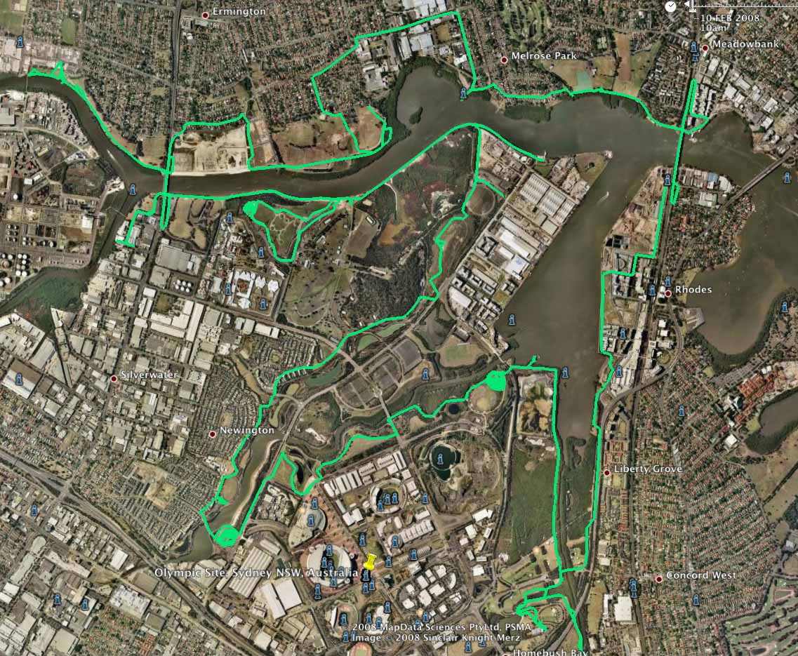
Above - Google earth GPS plot of the Homebush Bay Loop. This was close
to 40 kms - including the spiral tracks up the three hills. A Google
Maps version including the ride I did along the Cooks River to get to
Homebush Bay can be found here.
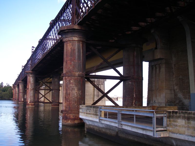
Above - the bottom view of the bike bridge over the Parramatta River at Rhodes.
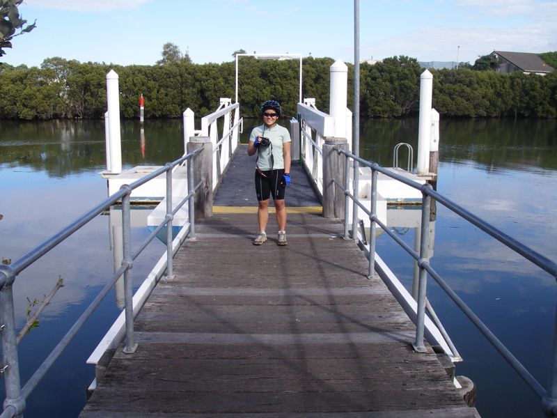
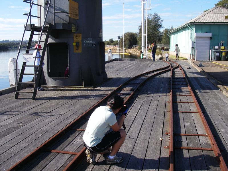
Above - Kim photographing on the river
Above - Kim
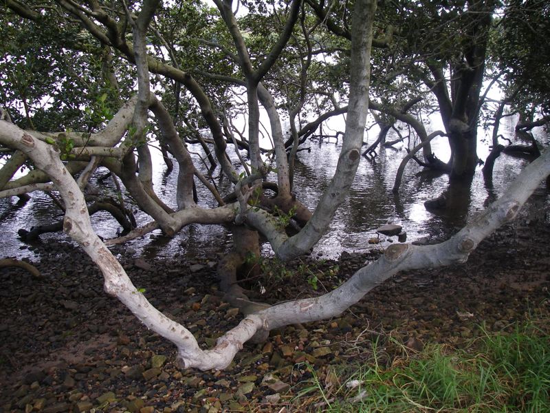
Above - mangroves
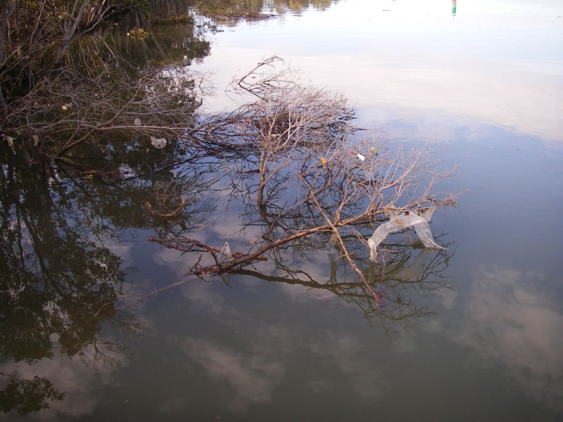
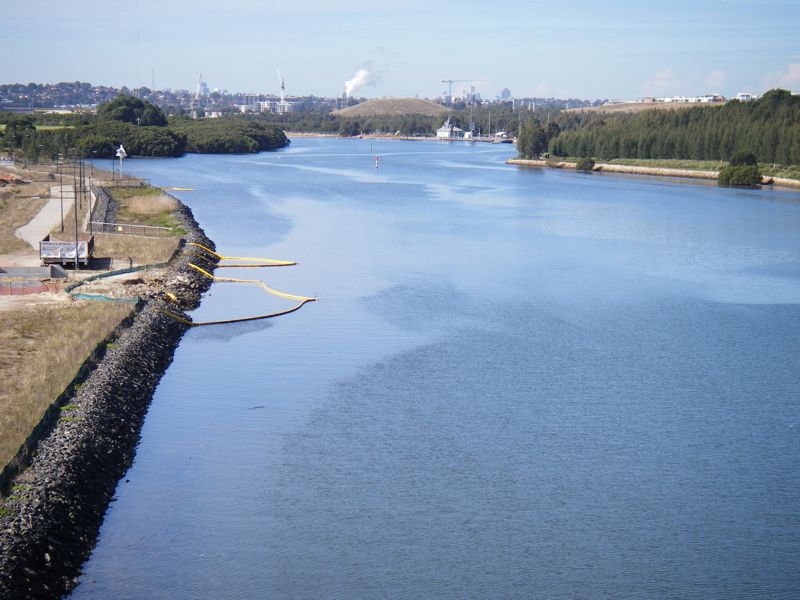
Above - the river was fairly dirty
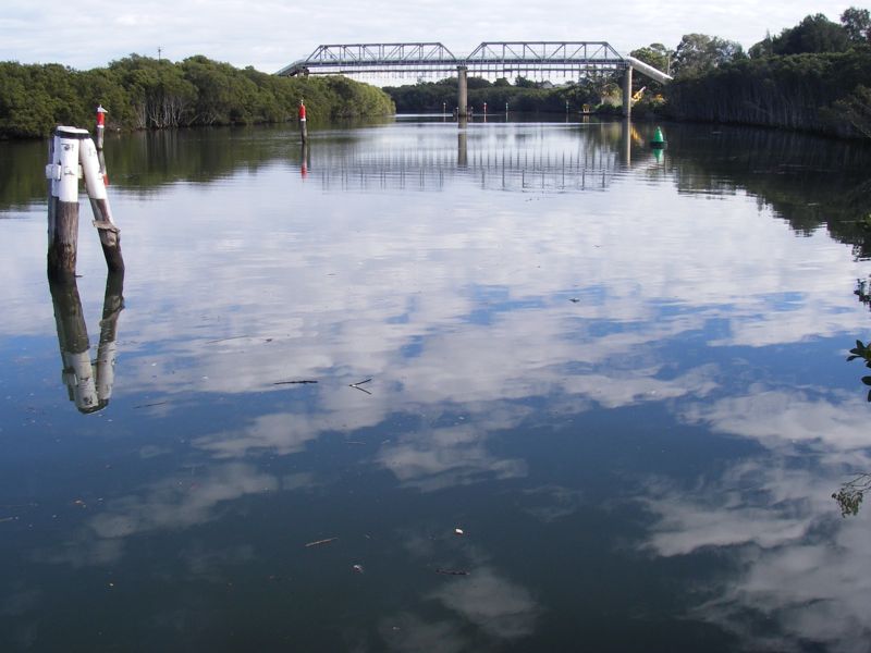
Above - Looking up the river. The bridge use to be route to Parramatta - but is now closed
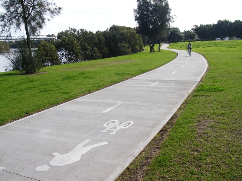
Above - Kim cruising along a nice section of cycleway
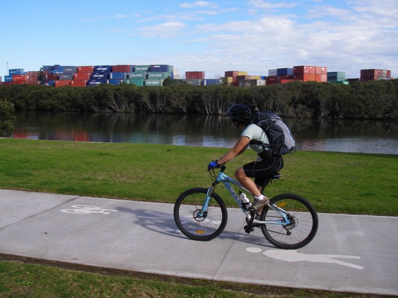
Above - plenty of containers!
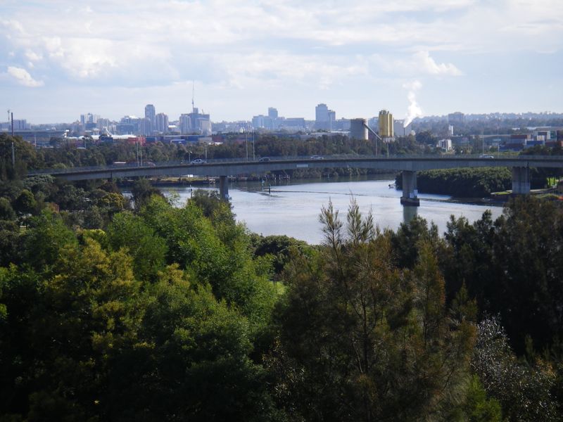
Above - view east from Silverwater Bridge
Above - View from a hill in Blaxland Riverside Park near the old Newington Armory Wharf
Above - view west
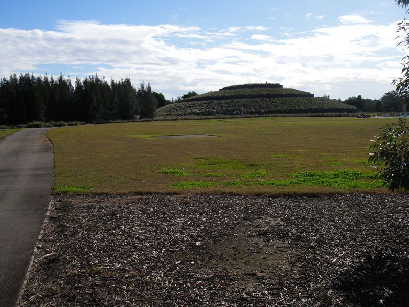
Above - Kim (just visible) on the hill
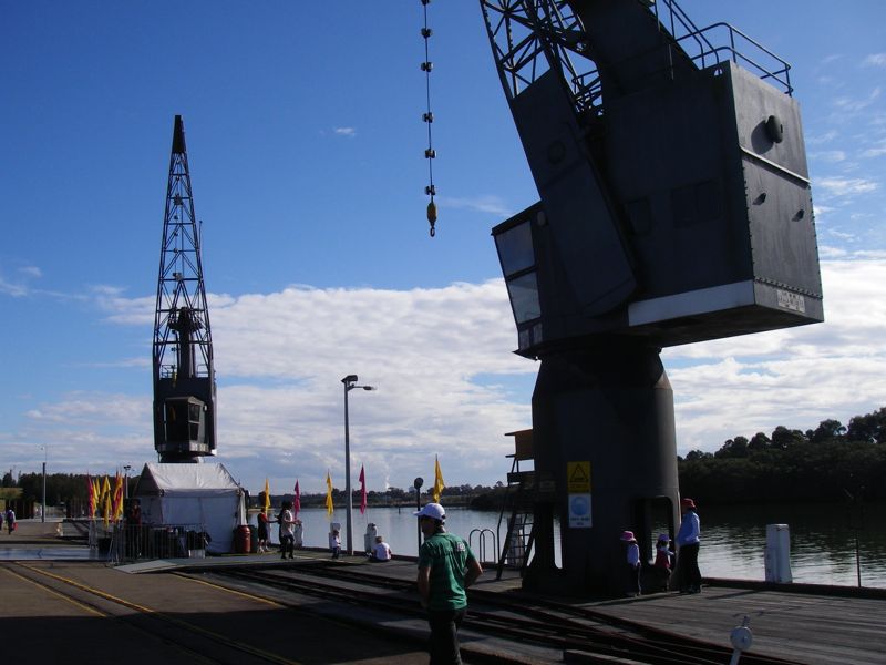
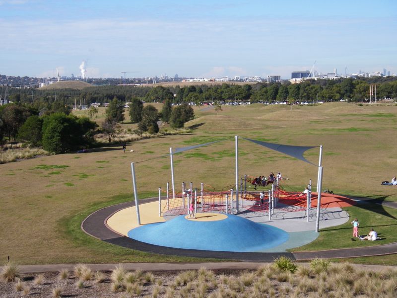
Above - at the Armory Wharf
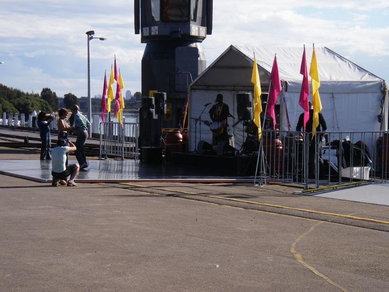
Above - free live world music on Sundays in July and August
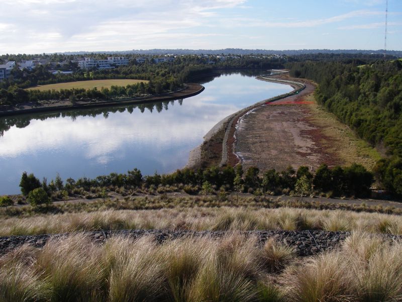
Above - View from a hill at the end of the loop we did to Hallams Creek
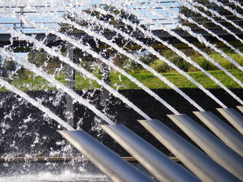
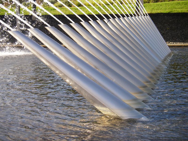
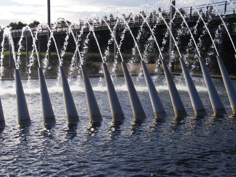
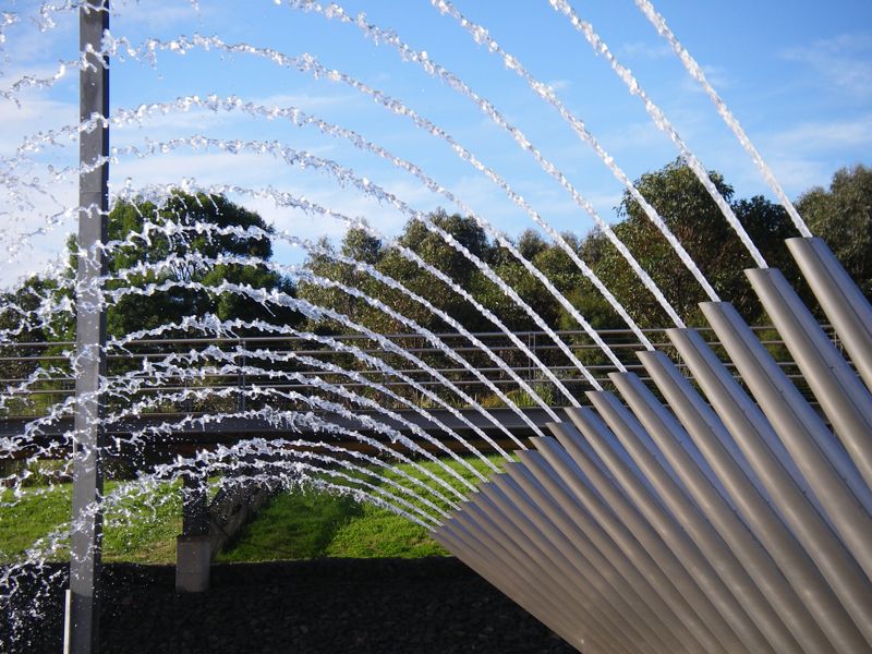
Above - Fountain at the Olympic site
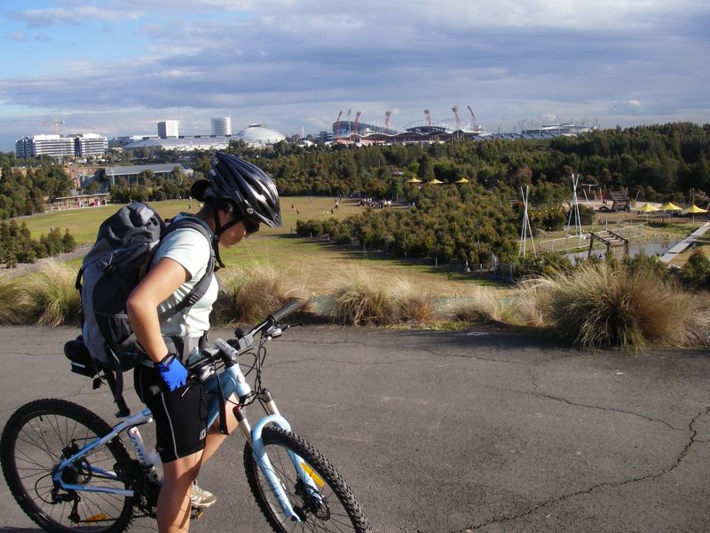
Above - Kim on the next hill at Wentworth Common
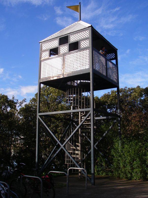
Above - observation tower
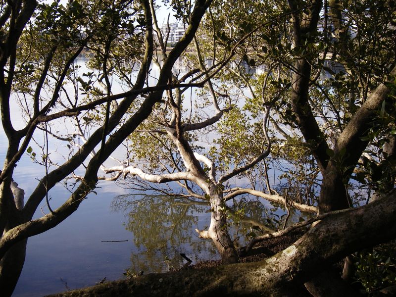
Above - mangroves
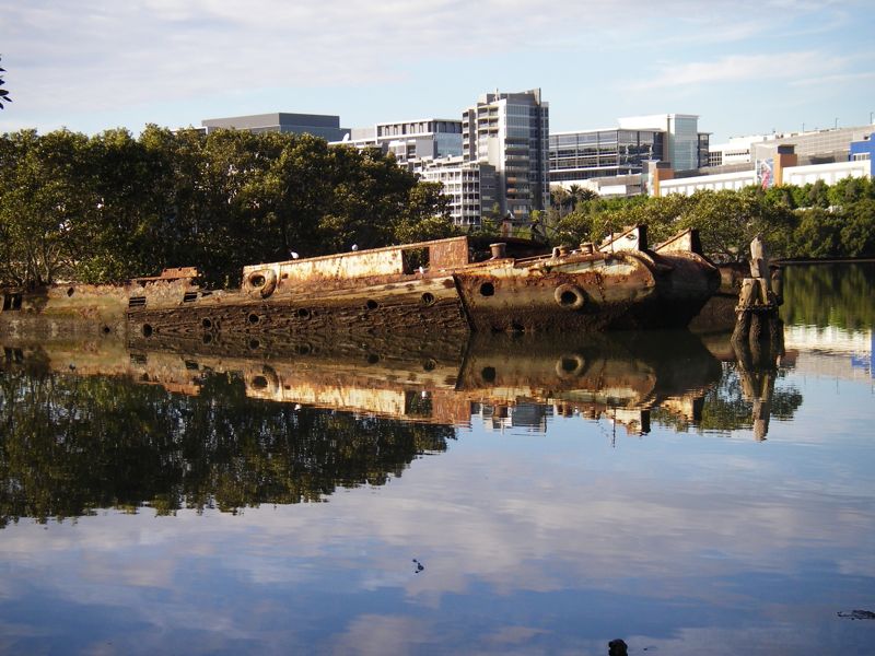
Above - wreck
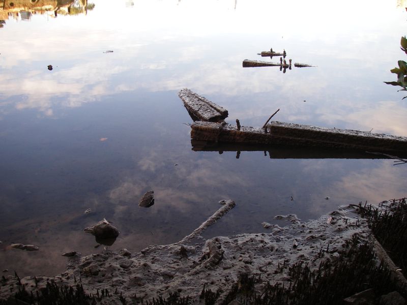
Above waterfront
Above approaching storm
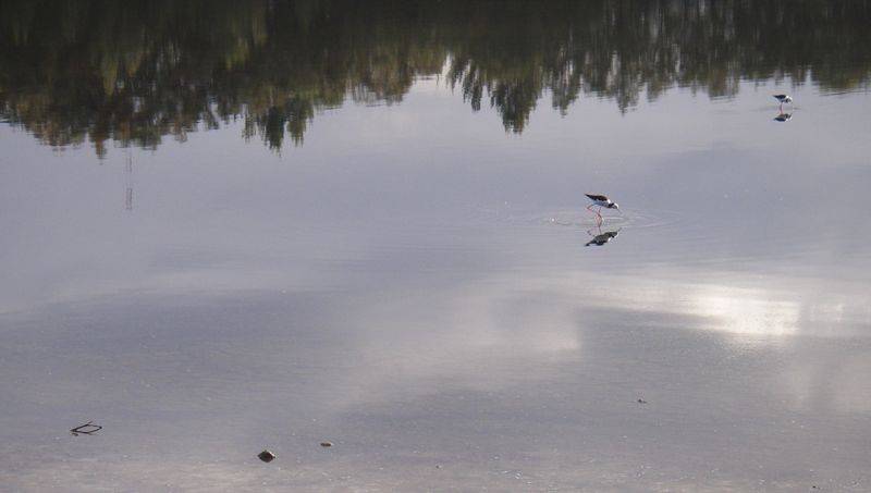
Above - water birds
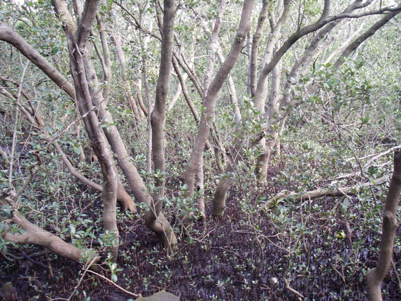
Above - mangroves
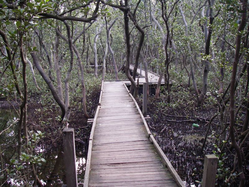
Above - the mangrove boardwalk
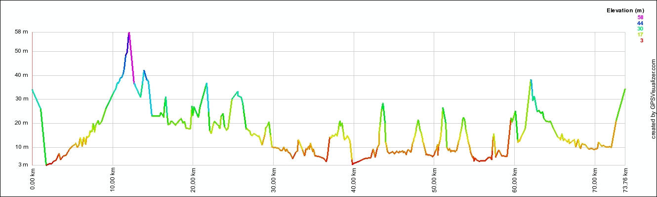
Above - the profile of the ride. The second spike (around 14 km) marks
the start of the Homebush Bay loop - which ends at 56 kms. Note the
slight drop in air pressure during the day!
Return to Rides Menu
Return to david-noble.net