Kentlyn - 18 May 2008
All images © David Noble. No image can be used for any purpose without permission.
Riders - Rob, Dave
I got the idea for this ride from the excellent Trailflix site. This page has plenty of information on the ride - location, notes, maps etc plus a well produced video.
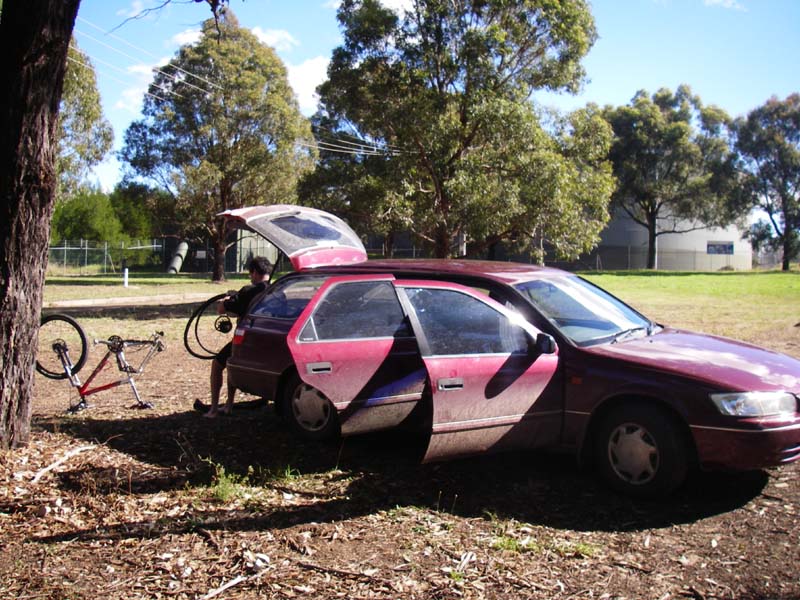
Rob fixing a tyre - at the start near the water reservoir.
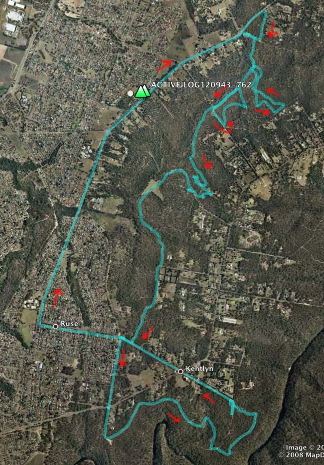
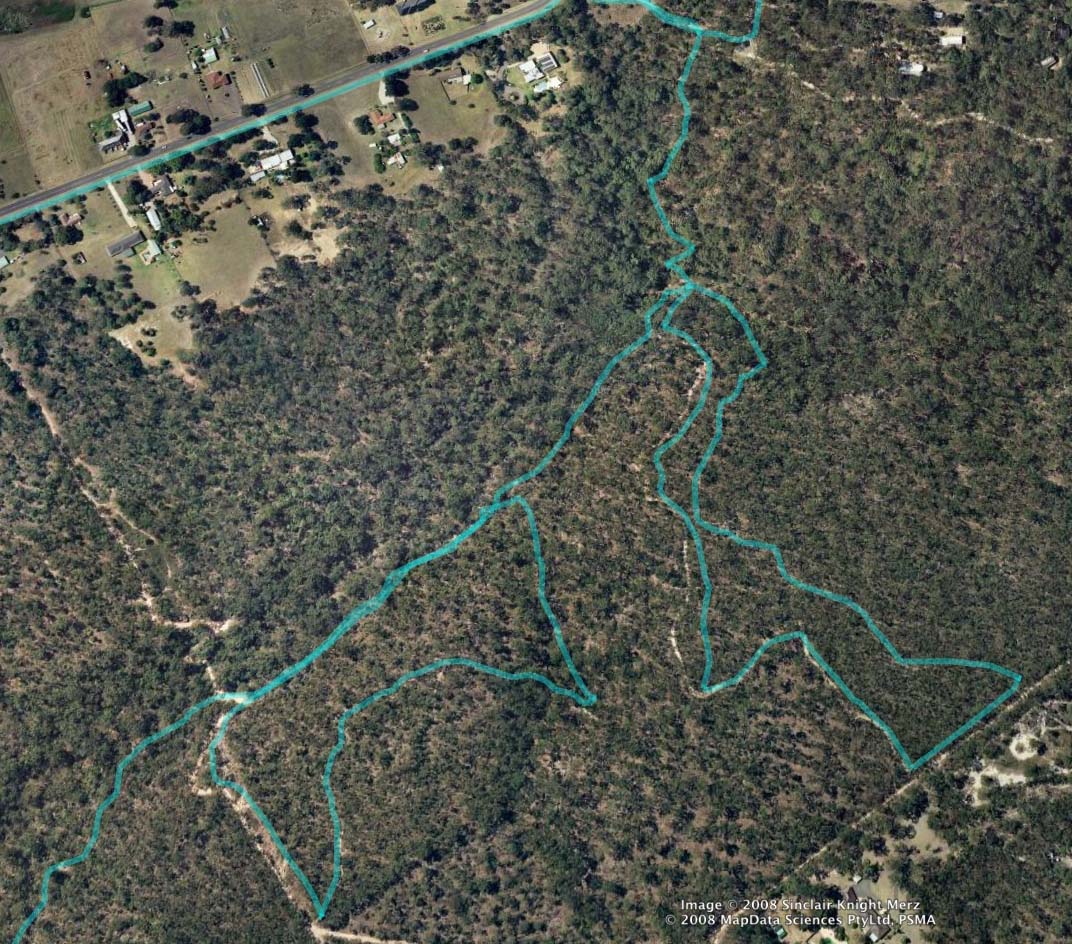
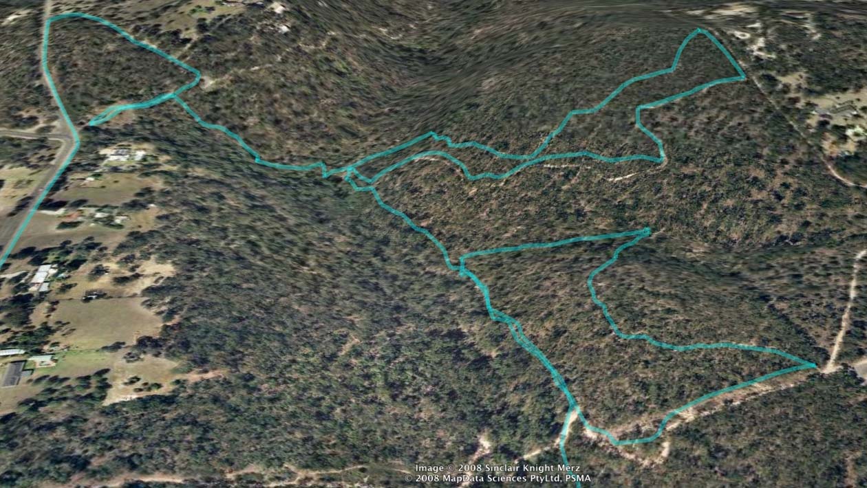
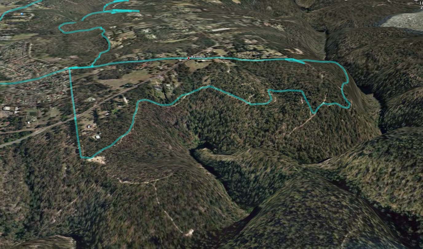
The GPS plot of the ride. We started at the green triangles. After
getting off the road - the ride goes down a steep technical section to
a creek. Then there is a series of loops (with many variations) -
featuring some nice sections of singletrack.
This page has the Google Map plot of the ride and is zoomable.
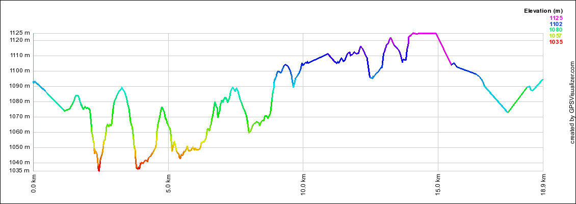
The ride profile
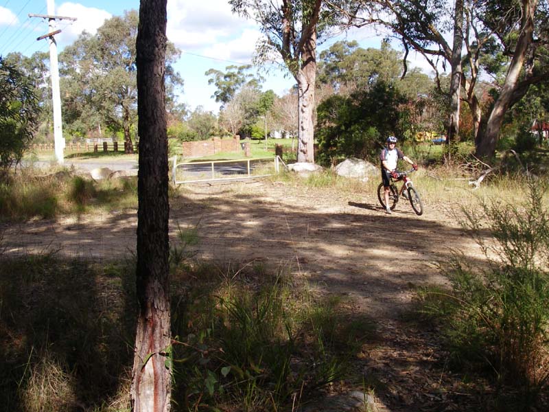
Above - Rob at the start of the ride at the end of Newman Ave
Above - At the start we followed the main singletrack - and it took us
back to Hansens Rd. The proper route turns off to the left a short
distance along.
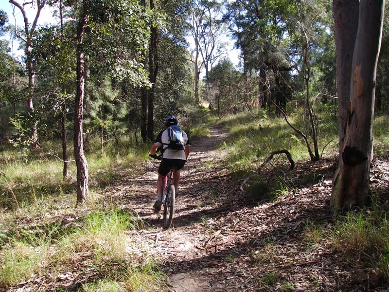
Above - the first loops. Many other trails branched off along each of these and a lot of good riding could be had.
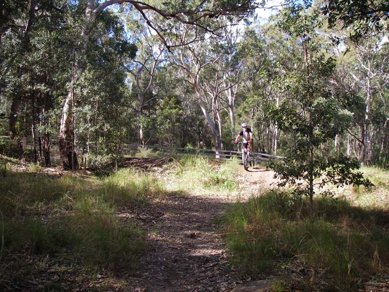
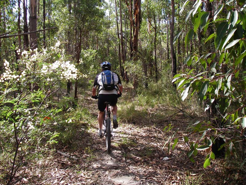
Above - Rob on the singletrack
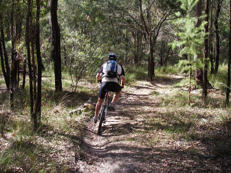
Above - Rob on the singletrack
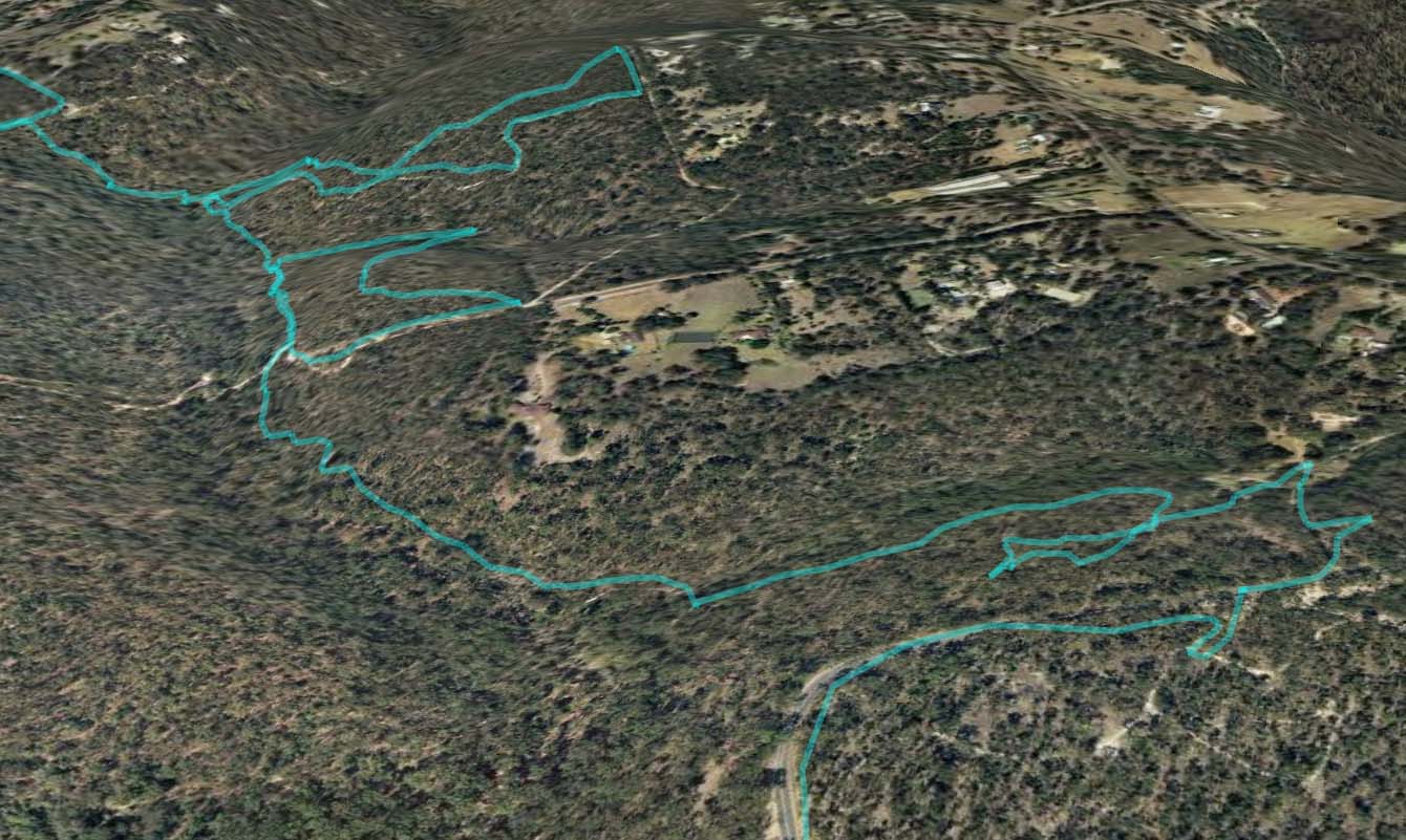
Above - Another Google Earth view of the loops
Above - Rob at the gate which is at the top of the second loop - see
previous image - the bottom right hand very sharp bend. The photo is
taken a few metres into the singletrack
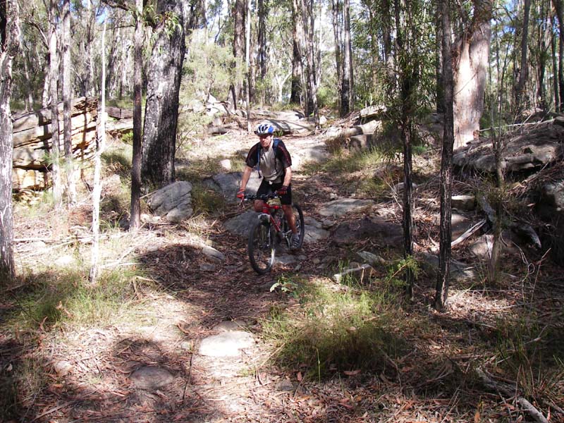
Above - Rob on the second loop
Above - We got a bit lost on the third up and down section - some of
the trails were indistinct. The notes indicate we should have got on
the road (Peters Meadows) lwer down the hill (more to the left)
Above - The Kentlyn loop - is all fast fire trail above the Georges River.
After this loop - its a quick ride back to the car along normal roads.
Return to Rides Menu
Return to david-noble.net