Menai Ride - 24 May 2008
Riders - Chris, Andrew, Dave
Back to some of our favourite trails - and exploring some new stuff as well - but still lots to see and explore.
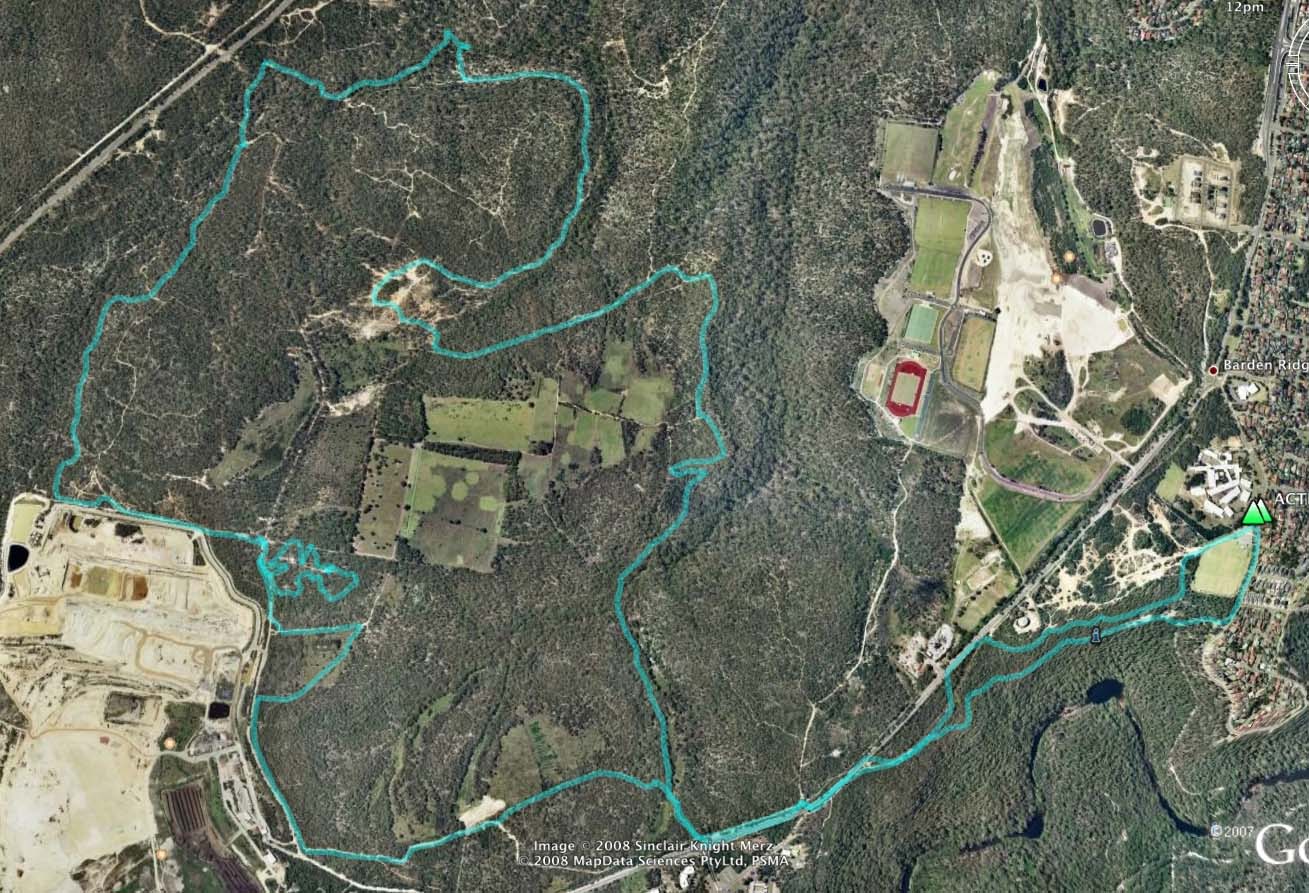
GPS plot of the ride. We started from the school and rode the top track
towards the reactor - crossed the road and then into the single track -
clockwise around the big loop. The new stuff (to us) was the section on
the upper middle - on the right of the loop - which was mainly
technical (chunky) fire trail.
There is a Google Map page showing the ride here.
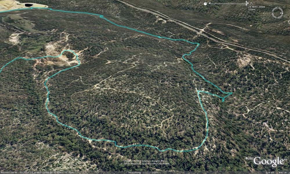
Above - An oblique view of the new section we rode.
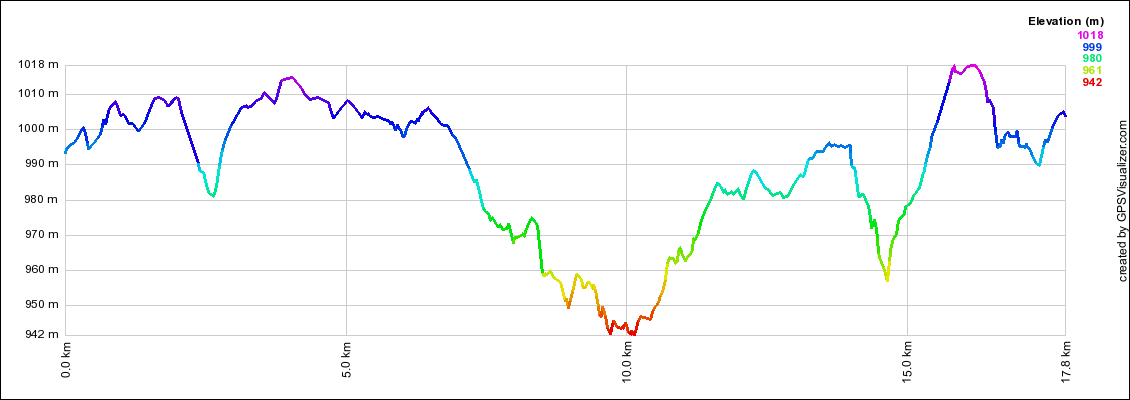
Above - The elevation profile of the ride
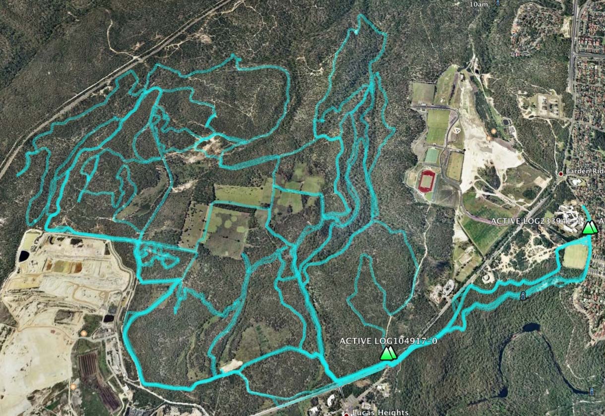
Above - the new "total" gps log of recent rides.
Return to Rides Menu
Return to david-noble.net