Old Great North Road - 14 June 2008
All images © David Noble. No image can be used for any purpose without permission.
Riders - Chris, Dave
The Google Map of the ride based on GPS data can be viewed here.
We were originally planning on doing the 50km loop - but when we got to
Mangrove Creek - we found the route too wet - lots of long pools and
flooded creek crossings - so we ended up coming back the way we had
come.
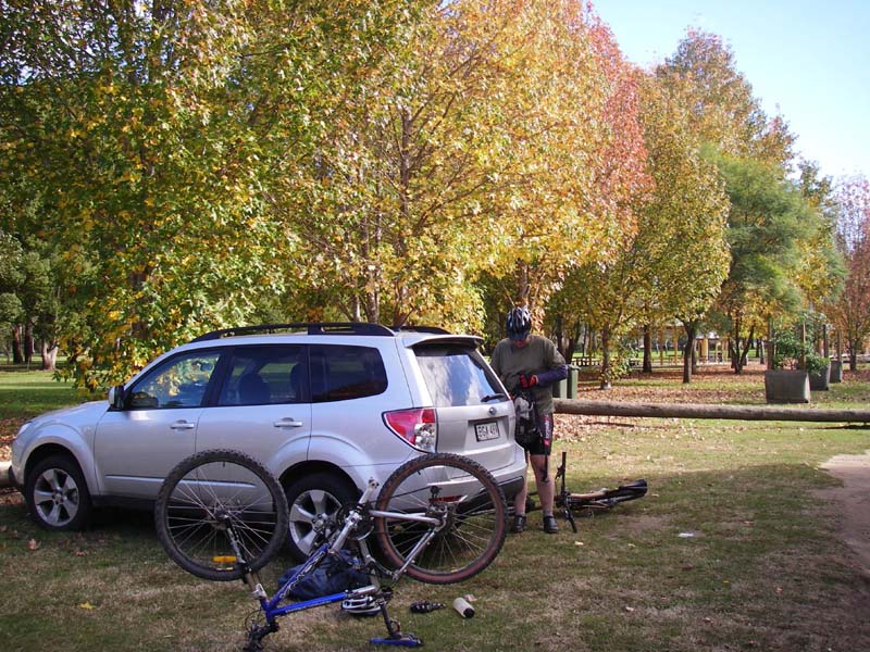
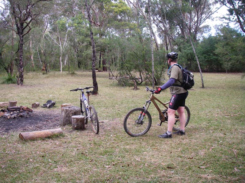
Above - Nice autumn colours. Chirs at the start at Wisemans Ferry
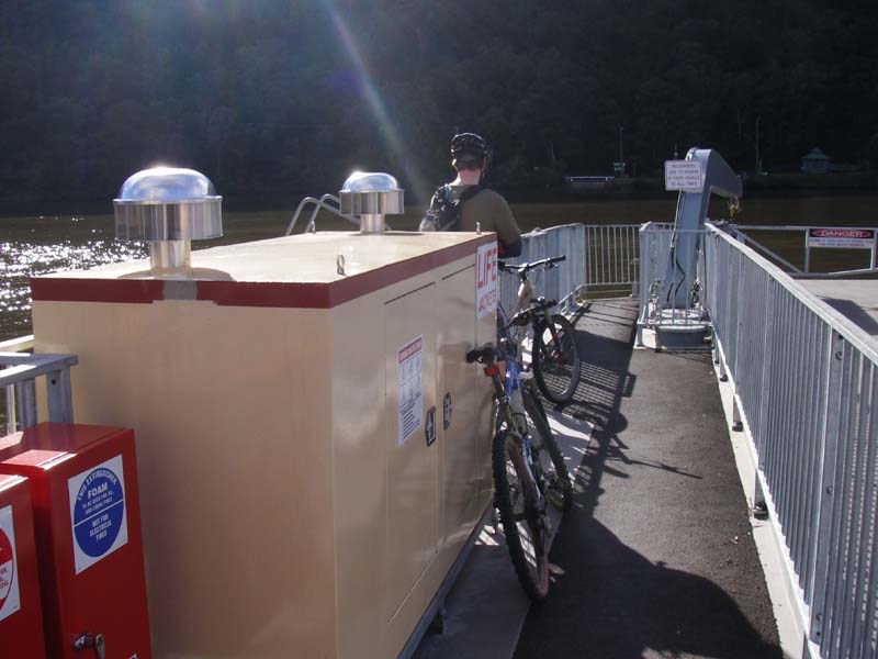
Above - On the new ferry
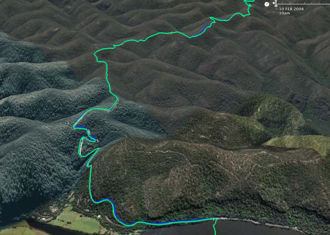
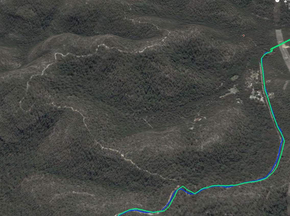
Above - a Google Earth image showing the start (and end) of the ride up the hill from the ferry
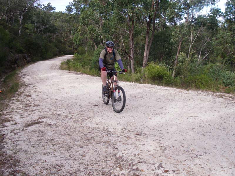
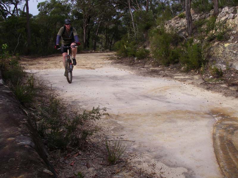
Above - Chris at the top of the hill - just before the gate
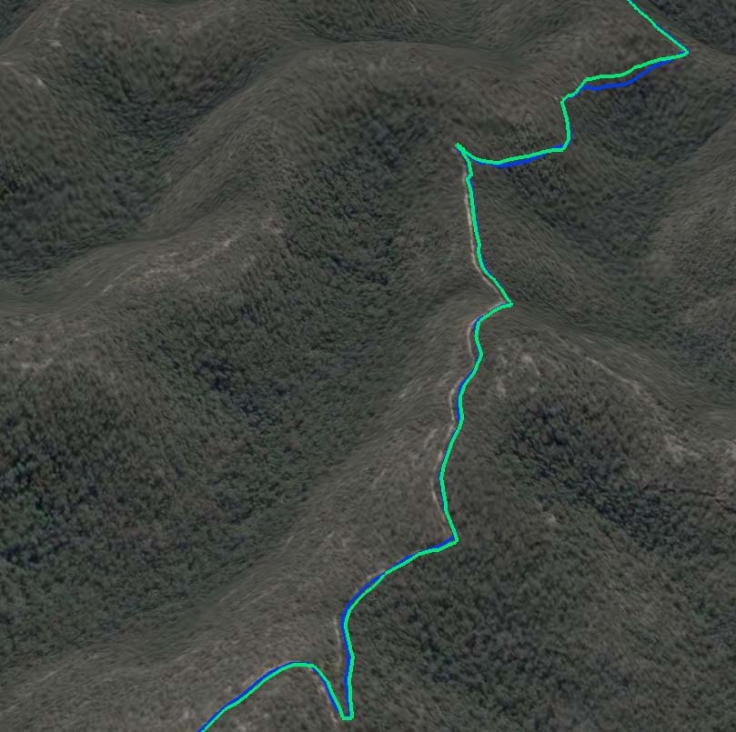
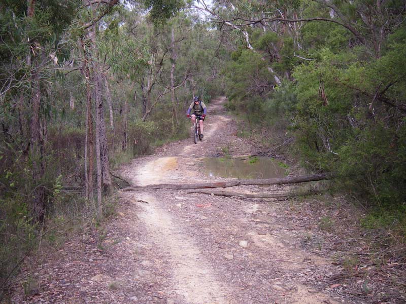
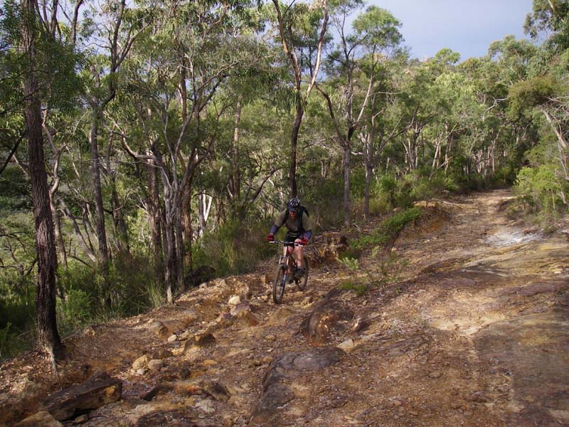
Above - This middle section is nice with some technical downs and ups
Above - At Ten Mile Hollow
Above - We rode down Simpsons Trail to Mangrove Creek. At the bottom we
found some large pools - so we turned back and returned the way we had
come
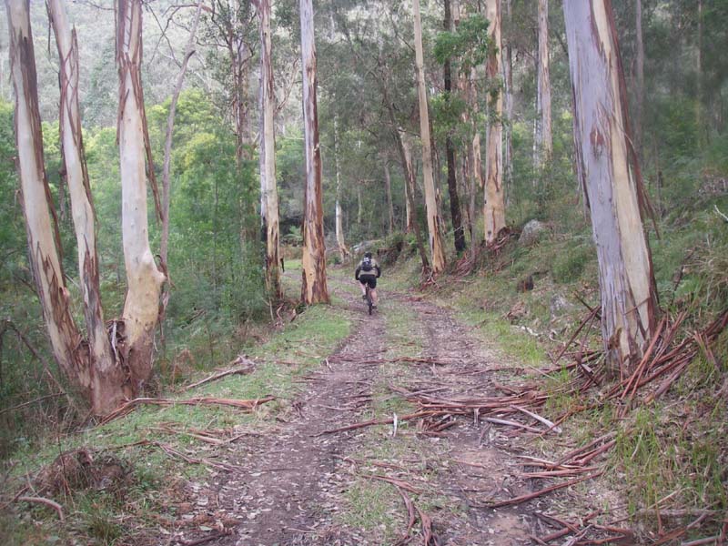
Above - The lower section of Simpsons Trail
Above - Chris on the electricity access road on the hill above the monastery
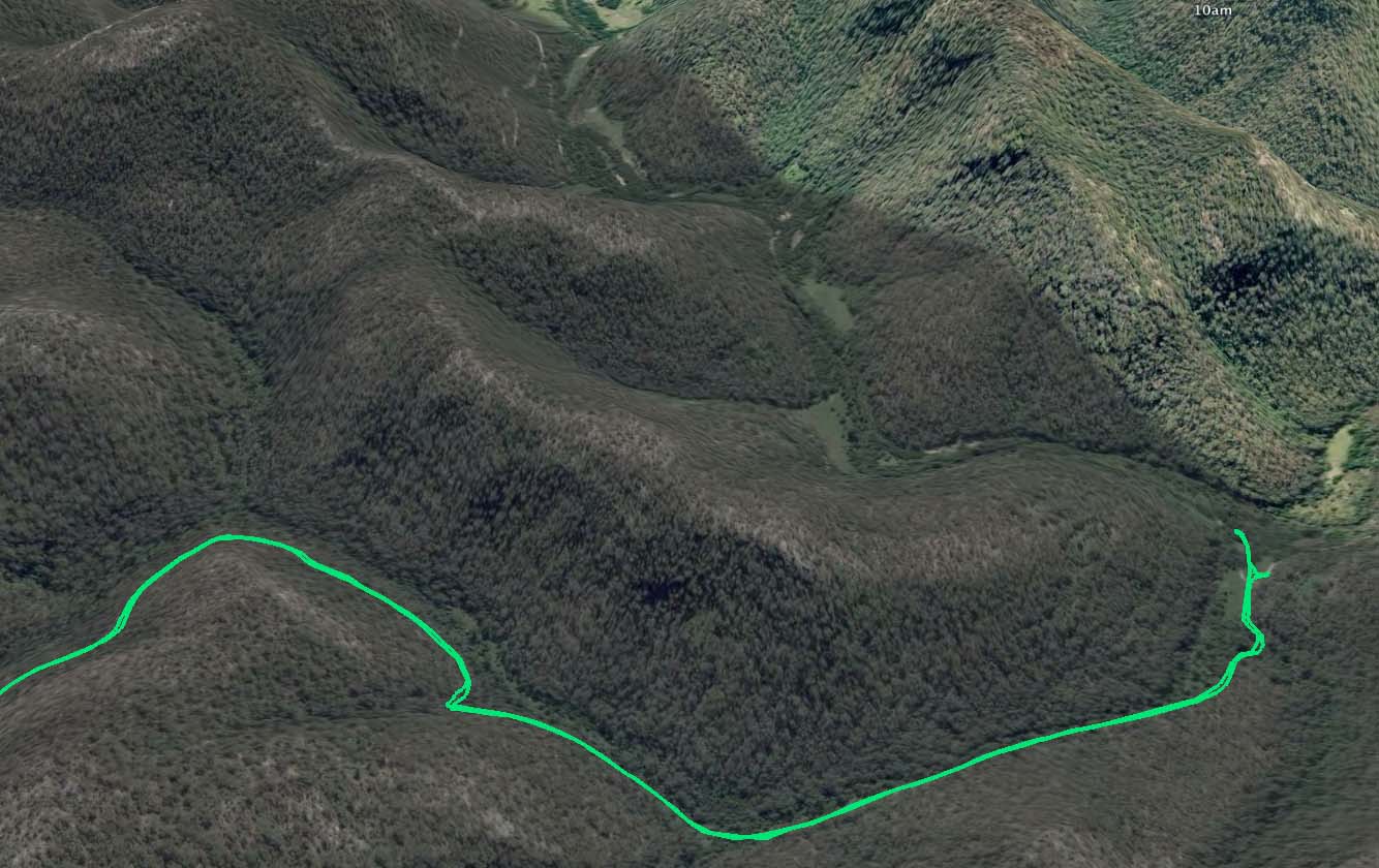
Above - This view shows the route down to the Monastery. On the left is
the bypass firetrail. On a previous trip we went that way back from
Clare's Bridge - and found it very much a rolloer coaster - wtih lots
of very steep ups and downs - a contrast with the Old Great North Road
whose hills are always gentle
Above - Chris riding back on one of the fast sections
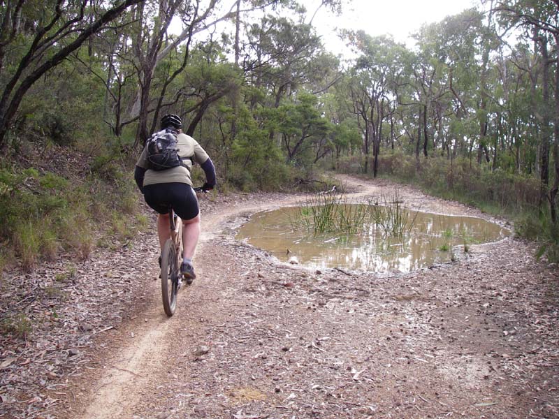
Above - Pools could be easily bypassed
Above - A more gnarly section
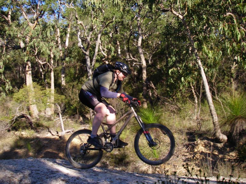
Above - getting some air on the run down the hill

Above - rainbow above the River

Above - ride profile - out and back the same way. I think the gps altitude calibration was a bit out!
Return to rides list
Return to david-noble.net