Ourimbah - 16 August 2008
All images © David Noble. No image can be used for any purpose without permission
Riders - Chris, Clare, Dave
Some of these images are taken from frames of digital video
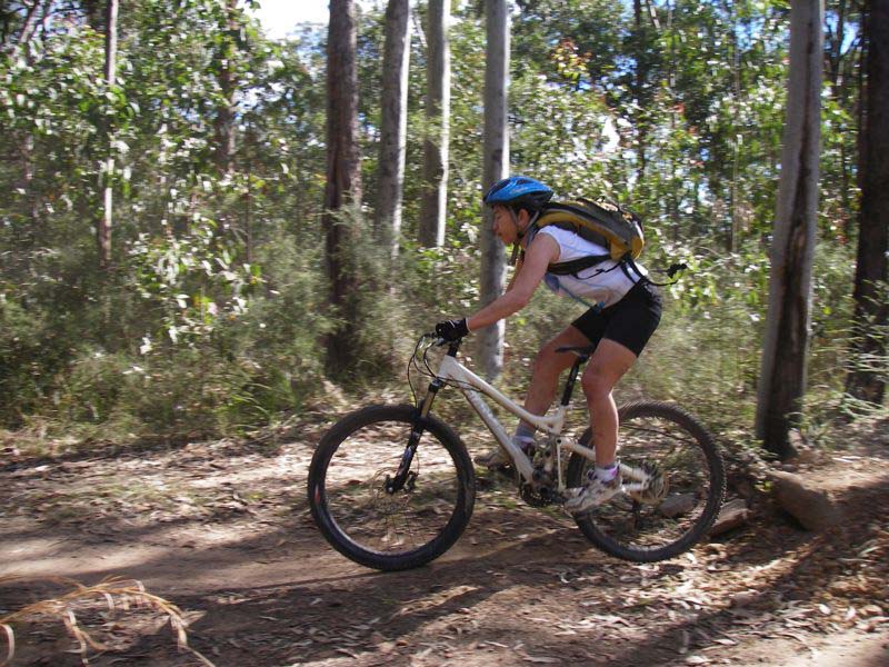
Above - Clare
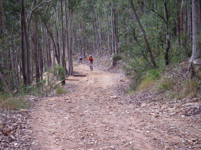
Above - Clare on the XC trail
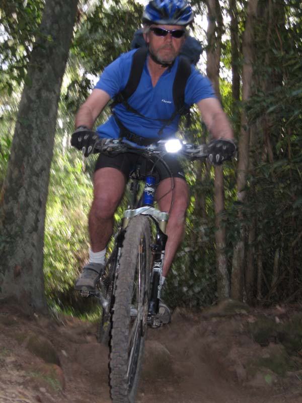
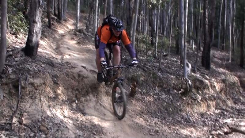
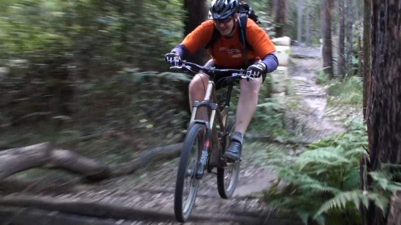
Above - Dave on the XC trail - photo by Chris
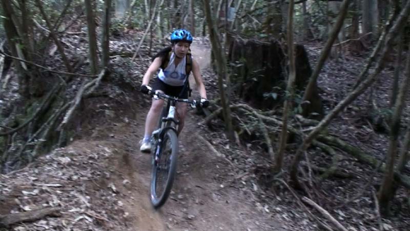
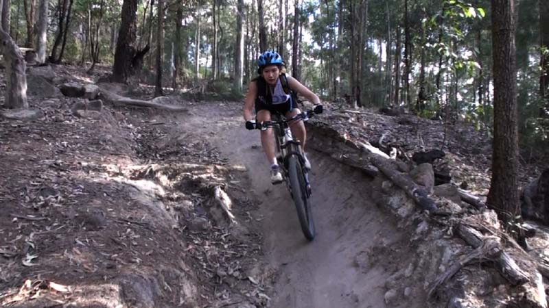
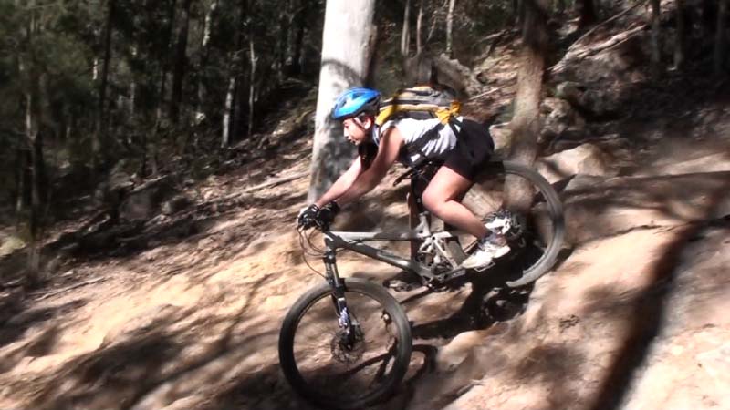
Above - Clare on a steep section
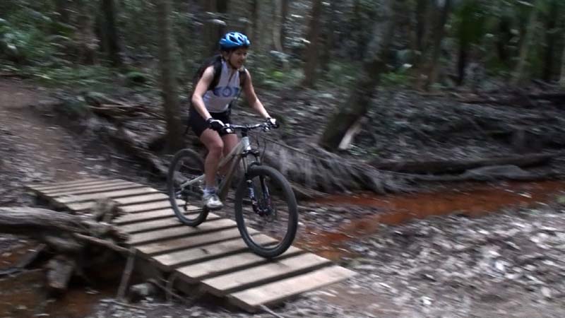
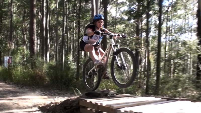
Above - a nice bridge
Then we left the XC trail and headed up Demtel Hill to tackle the Downhill Trail
Above - Demtel Hill
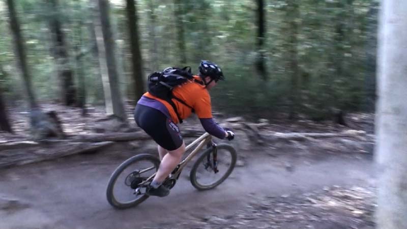
Above - Chris on the Downhill Trail
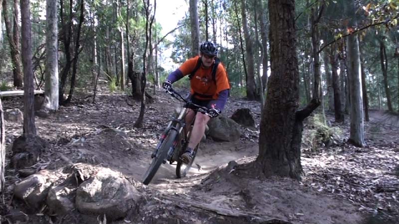
Above - Chris on the Downhill Trail
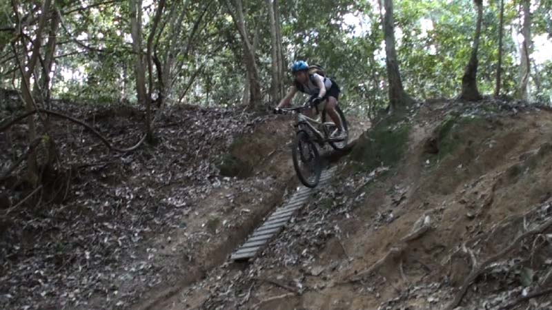
Above - Clare on the Downhill Trail
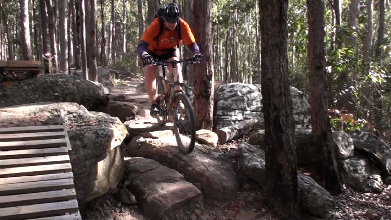
Above - Chris on the Downhill Trail
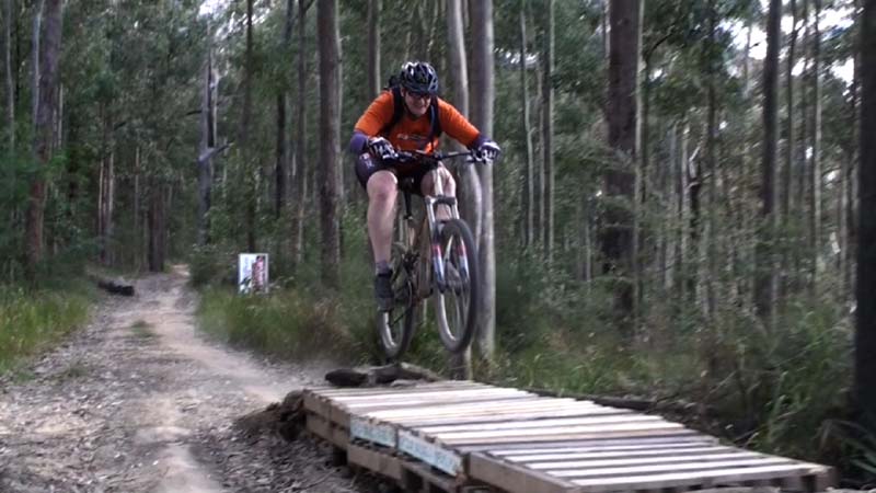
Above - Chris gets some air
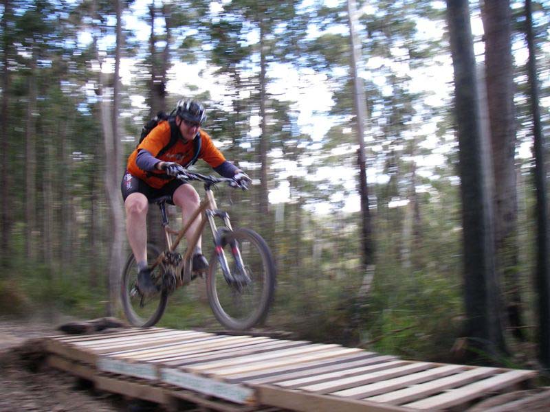
Above - Chris gets some air
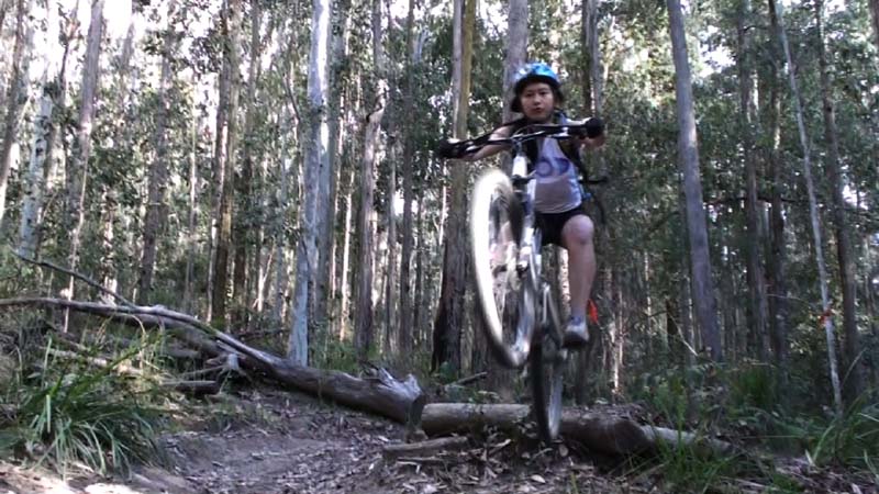
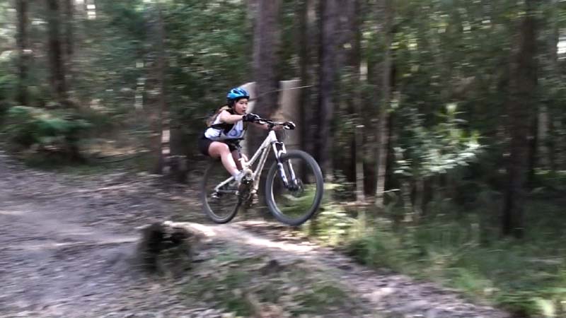
Above - So does Clare
Above - Chris on the Downhill Trail
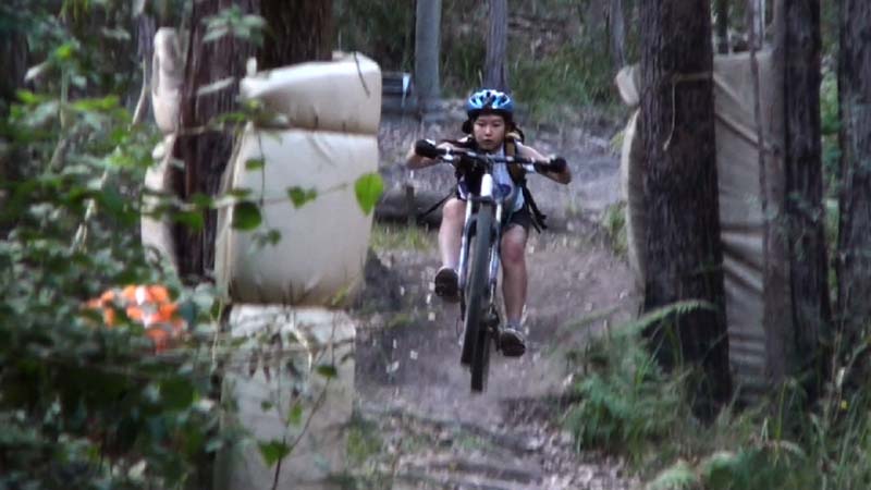
Above - Clare on the Downhill Trail
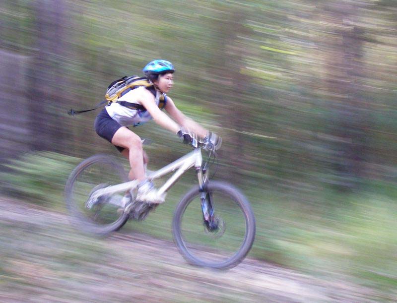
Above - Clare
Above - Chris
Above - Clare
Above - Clare
Above - Clare
After this we went back to the start - and did a full lap of the XC Trail
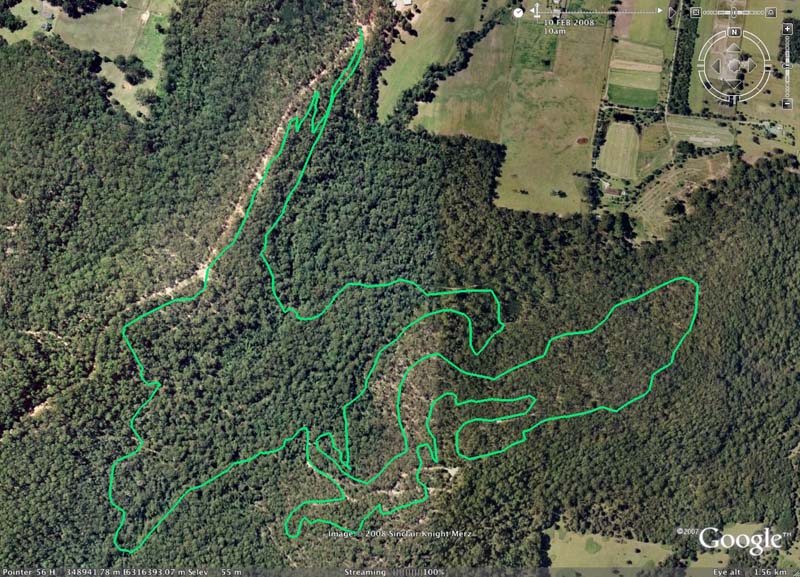
Above - The GPS plot for the XC Trail on Google Earth
A Google Maps version of the plot can be found here
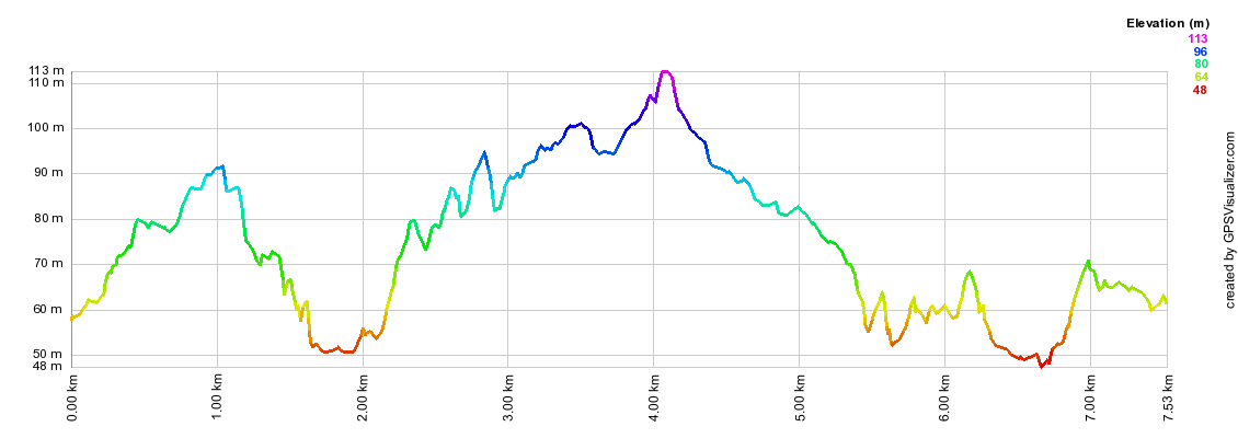
Above - The GPS plot of the profile for the XC Trail
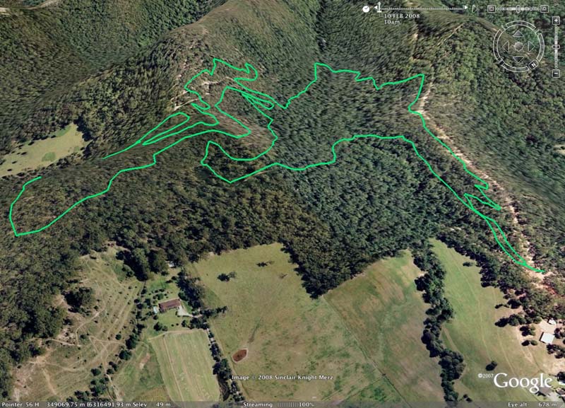
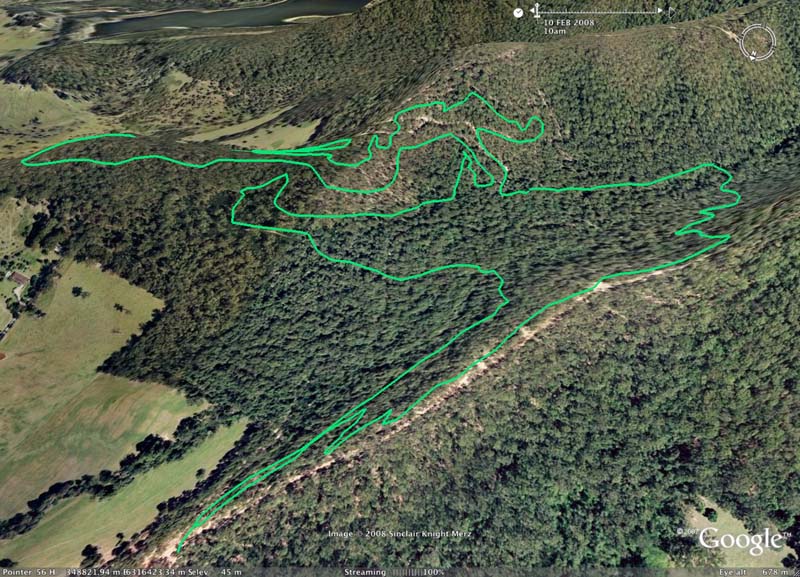
Above and below - inclined views of the XC Trail plotted on Google Earth
Links -
Our ride at Ourimbah the year before
Trailflix's page on the area
Central Coast - Ourimbah Mountain Bike Club - which builds and maintains these trails
The Central Coast Cycling Guide - page on rides in the area
Fatboys Page
Nobmobs Page
Return to Rides Menu
Return to david-noble.net