Parramatta to Kurnell - 5 April 2008
All images © David Noble. No image can be used for any purpose without permission.
Riders - Stuart, Greg, Armando, Dave, and at Woolooware we were joined by Rachel.
It had been a long while since I had been along this route - and some of the old cycleways had closed but some new ones had been built.
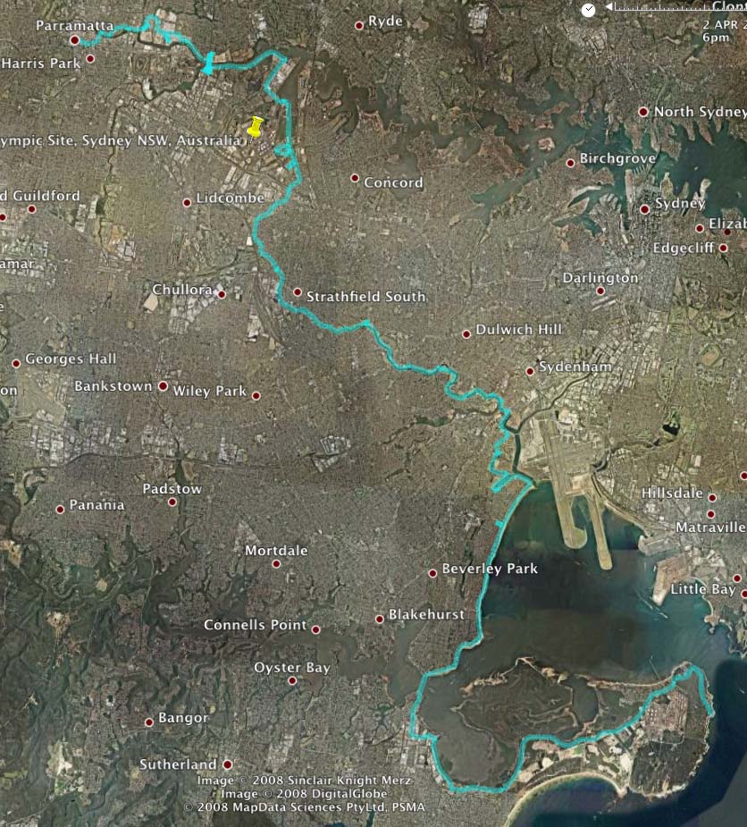
Above - This Google Earth image shows the route we used.
To zoom in and see the route in detail - go to this page with a google maps image
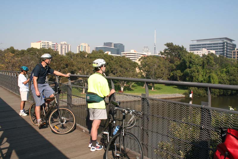
Above - Our first crossing of the Parramatta River - Armando, Greg and Stuart

Above - The first part of our route - showing a few back tracks where we were not sure of the way

Above - The old route used to go over this bridge - it is now closed.
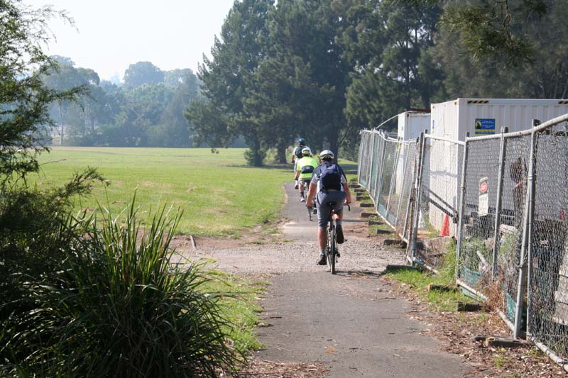
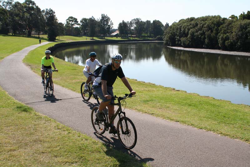
Above - Riding through parklands
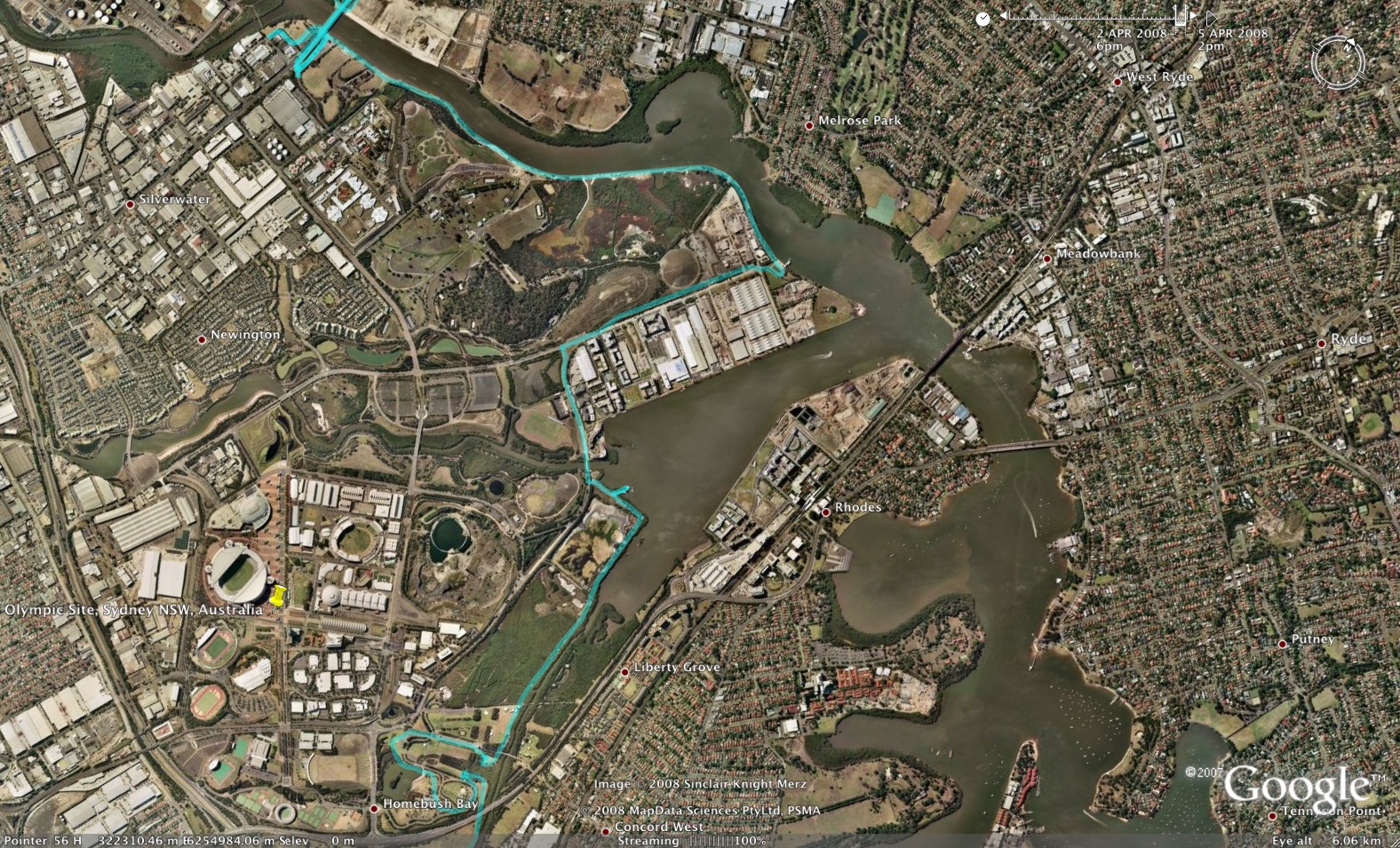
Above - The second part of our route was on the wouth side of the River to Bicentenial Park

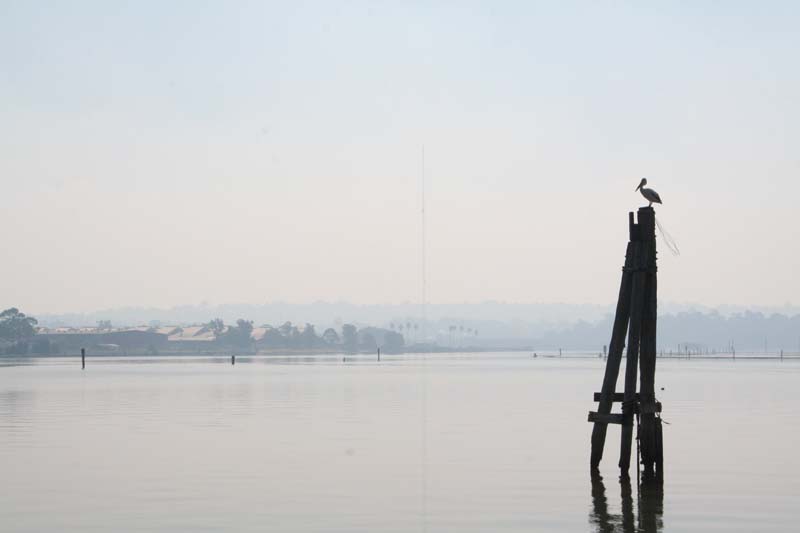
Above - Views from Bicentenial Park
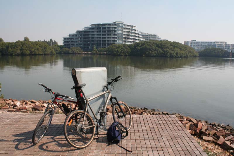
Above - Looking towards new housing developments
The river
Above - Riding along the Cooks River Cycleway
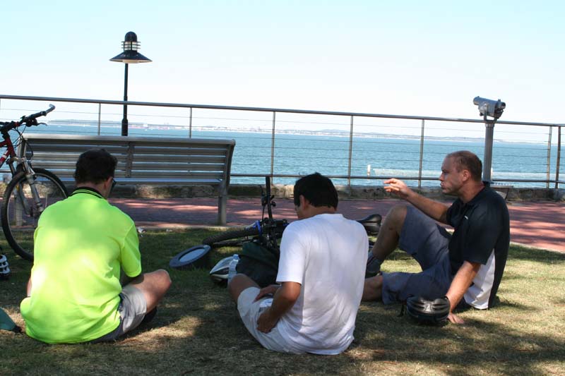
Above - We stopped for lunch at Brighton Lee Sands. After lunch - Greg and Armando bailed out and headed to Rockdale Station.
Stuart and myself kept going and followed the cycleway to the Tarren
Point Bridge and then to Shark Park were we met up with Rachel. Thanks
for the cold drinks!
We then rode out to Kurnell
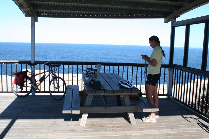
Above - Rachel at the whale observation plaform at Cape Solander
We then rode back to Cronulla Station
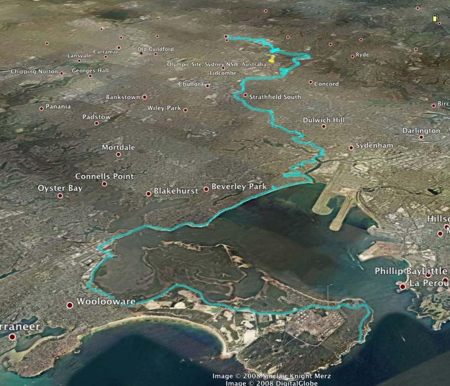
Above - The whole ride. The distance out to Kurnell and back to Cronulla was about 86 kms
Return to rides menu
Return to david-noble.net