Brownes Path - 11 August 2015
All images © David Noble. No image can be used for any purpose
without permission.
Party - Bob, Dave
On a trip to Blue Gum Forest in 2014, I had taken noticed some
possible passes into the Grose Valley to the north of Pierces
Pass. I took the following photo from the Pierces Pass Track -
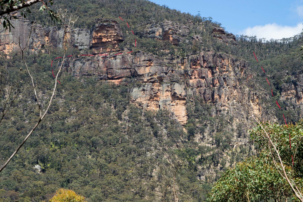
I have marked out two possible passes in red. After some research at
home, I found that the left hand pass - the one that follows a ledge
is known as Brownes Path. It was used earlier by Kevin Browne a NPWS
ranger (See"The Upper Grose Valley" by M Keats and B Fox, p 424). So
we set out on the trip to explore this pass and another possible one
nearby.
We went to Blackheath and then started out along the ridge near Hat
Hill towards Bald Head.
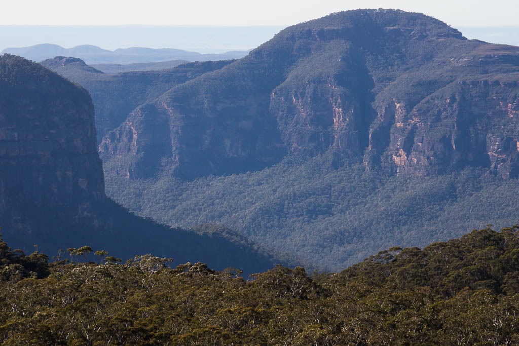
Above - Mt Hay from Hat Hill
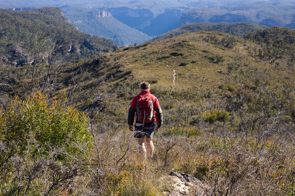
Above - Bob on the Bald Head Ridge
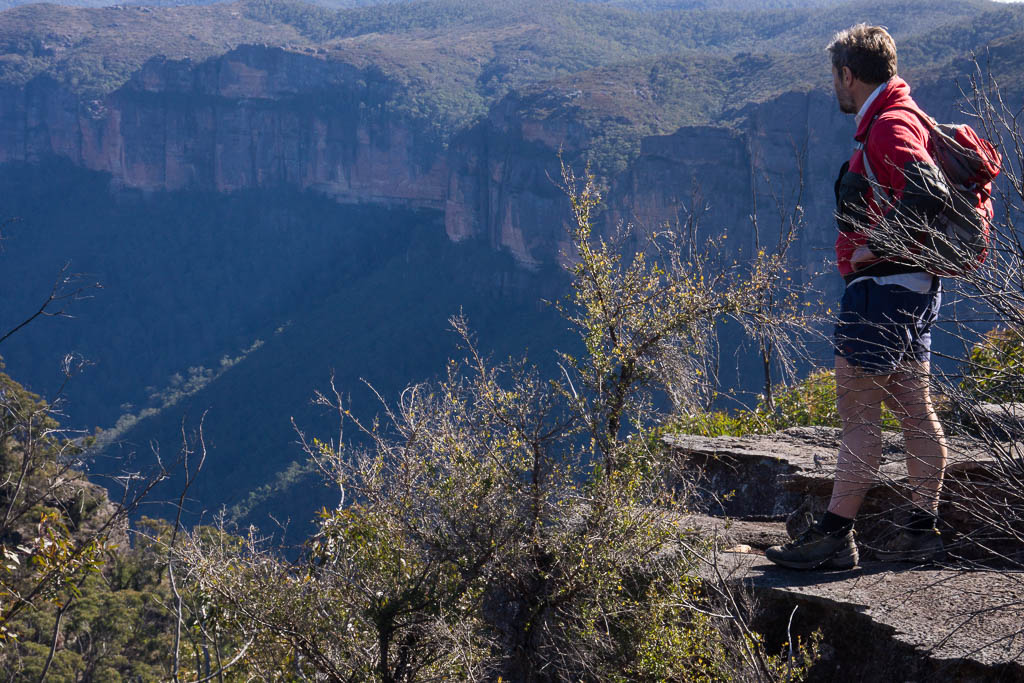
Above - Good views of the Grose Valley
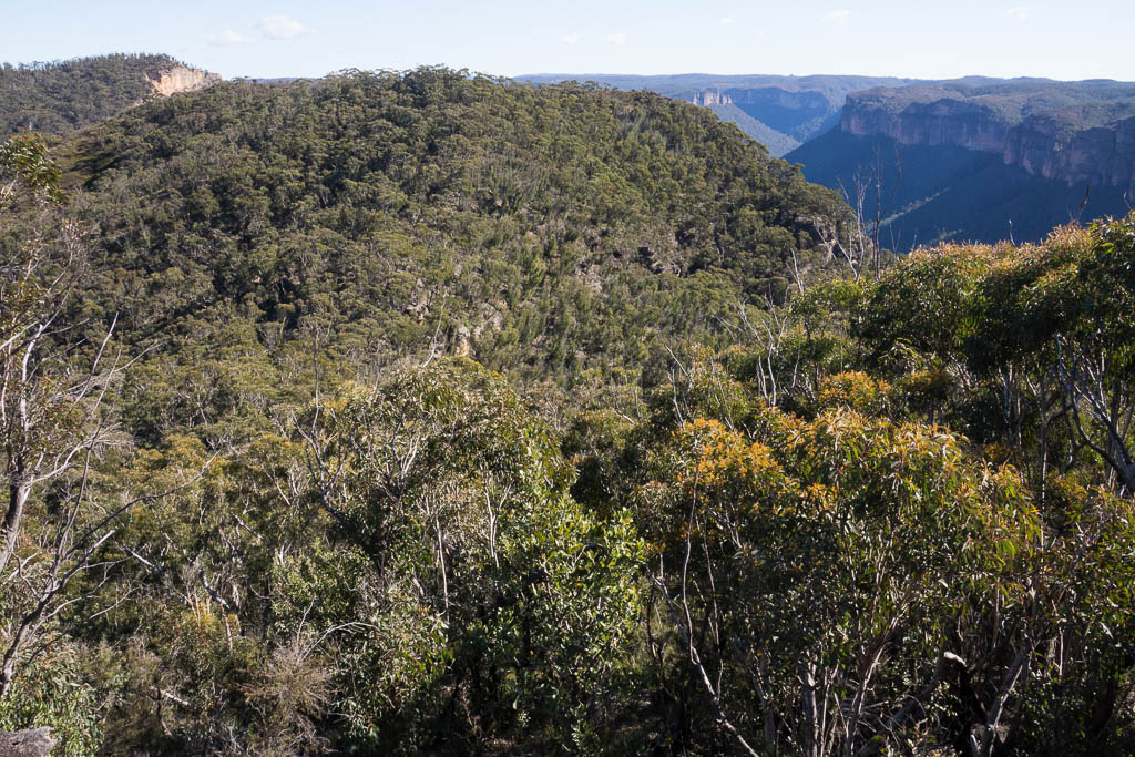
Above - in front of us is a saddle and then Bald Head. To the right
of the saddle is a gully which provided our second pass.
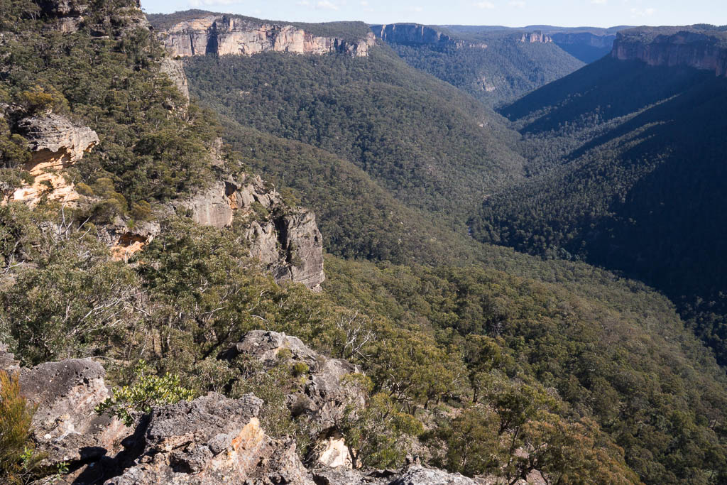
Above - The Grose Valley
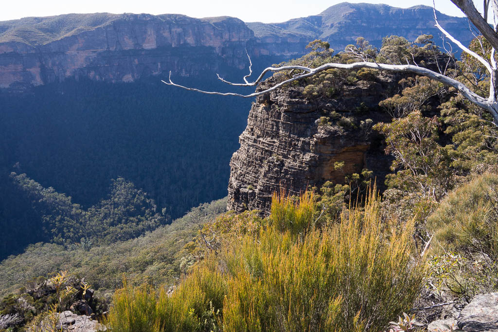
Above - a nice lookout above the Grose Valley. I had seen this
lookout on many trip down the Grose River. It is one of two rock
peninsulas that stick out into the valley at this spot. I have long
thought they may be good lookouts. We went out to the higher one -
and there was a good view, but no better that from other places. On
the platform we found a few cairns and an old faggot hidden in a
small cave. You can see both these peninsulas from Anvil Rock.
Brownes Path passes just underneath this lookout.

Above - Looking down the Grose Valley

Above - Looking to Pierces Pass
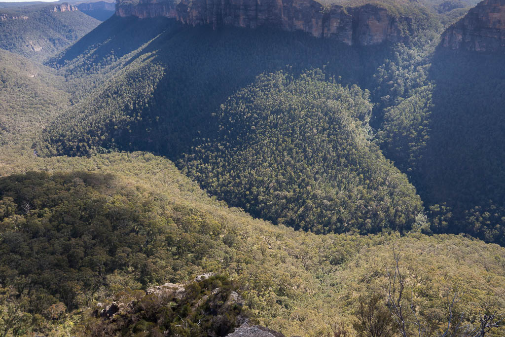
Above - The Grose Valley
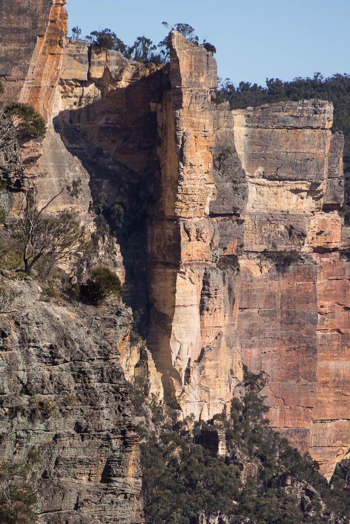
Above - Hanging Rock
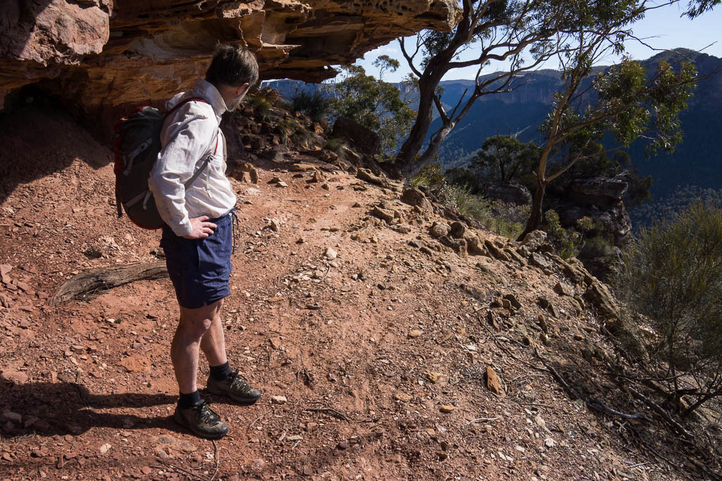
Above - Bob on Brownes Path - an easy pass.
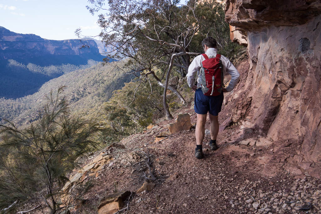

After descending the pass, we traversed around the talus slopes,
with difficulty, and then up the gully near Bald Head. The gully was
an "interesting" pass - and was not easy. We then headed along the
track to Bald Head for lunch. There are fine views from there of the
Grose Valley
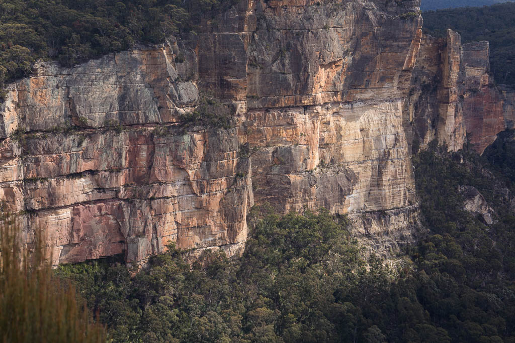
Above - Burra Moko Head and Hanging Rock


Above - The Grose Valley
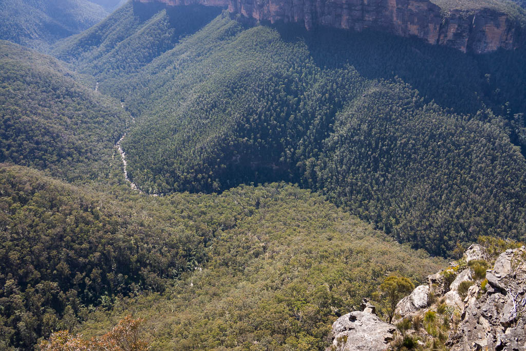
Above - The Grose Valley
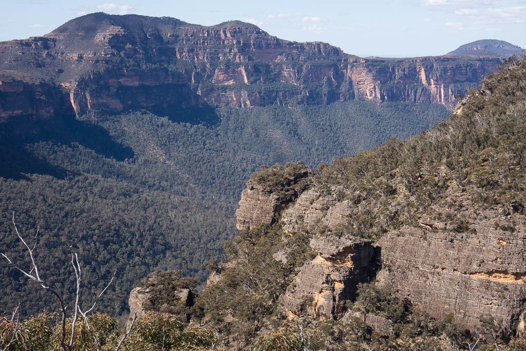
Above - Mt Banks, and you can see both of the rock peninsulas in
this photo. Brownes Path lies just under the upper one.
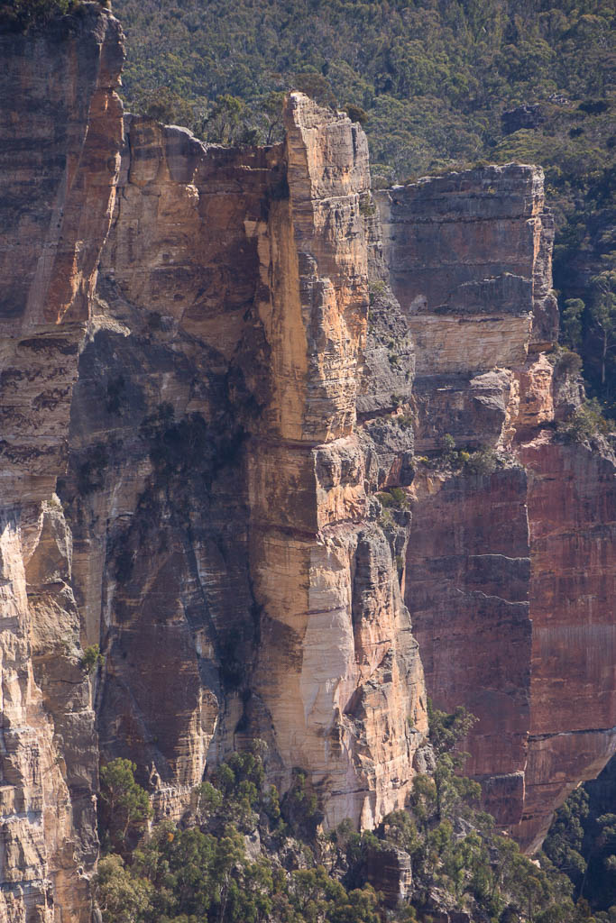
Above - Hanging Rock
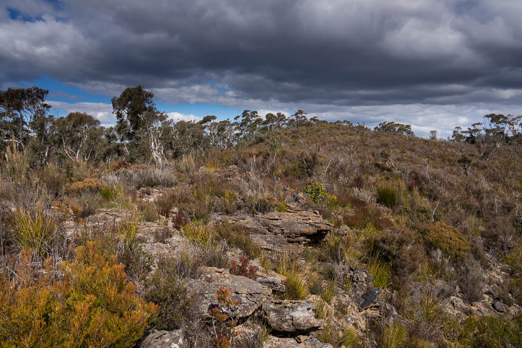
Above - open heath at Bald Head
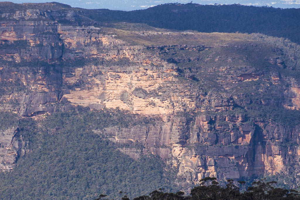
Above - On the way back to Hat Hill, we got this good view of the
exit pass from Mt Hay Canyon, up Butterbox Point. This pass was
pioneered by Tom Williams and you can
read about it on his blog.
Return to david-noble.net


