The Blue Breaks - Axehead Range
All photographs © David Noble. No image can be used for any
purpose without permission.
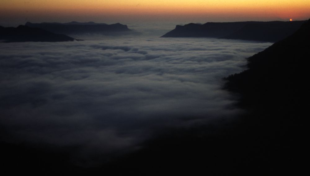
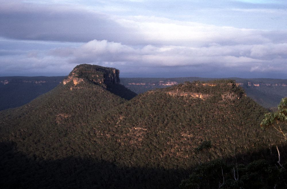
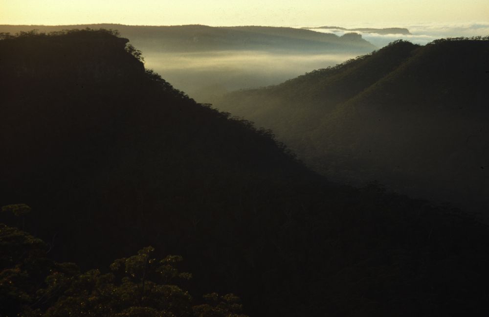
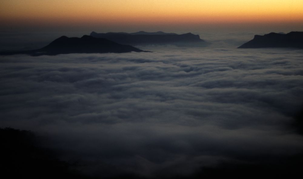
Above - Dawn from Axehead Mountain. Green Wattle Mountain and Broken
Rock Range on the left and Lacys Tableland on the right
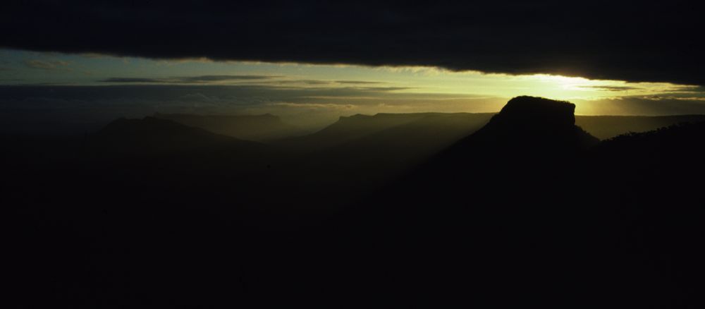
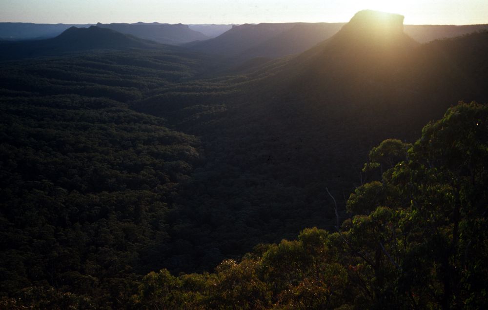
Above - Dawn - Axehead Mountain. Vengeance Peninsula is on the right
Above - Vengeance Peninsula and the "Bullaren Peaks" - Bull Island on
the left and Bull Island Peak (Alchemy Mountain) on the right. Behind
lies Lacys Tableland. Bul Island is a corruption of the aboriginal name
- "Bullaren" according to Myles Dunphy.
Above - Bull Island Peak from Axehead Mountain
Above - Vengeance Peninsula and Bull Island from Axehead Mountain. Both
can be sky-line traversed.

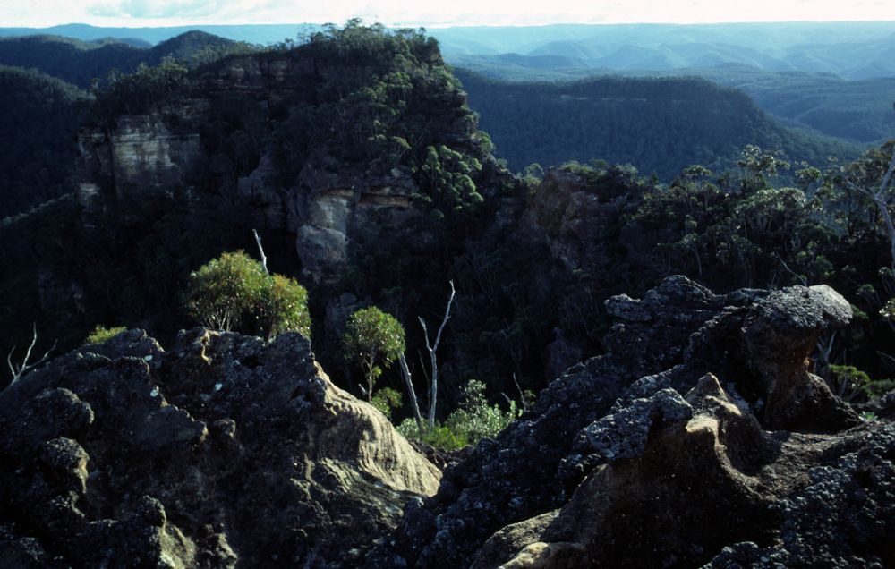
Above - The "thin bit" of Vengeance Peninsula. Behind is Lacys
Tableland. On the right are two obvious passes. One is up the point in
the middle right. Rope is handy for one section of this pass. The other
is on the far right - Lacys Gap - and easy walk up pass - just to the
left of the large block visible in the photo.
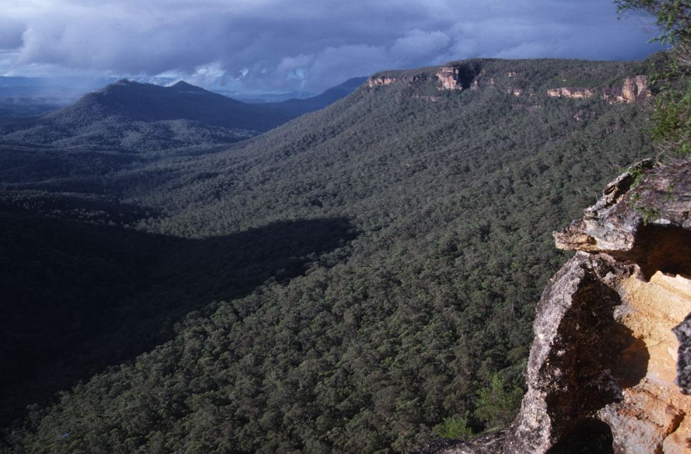
Above - View north from Vengeance Peninsula. On the left is Green
Wattle Mountain (which can be traversed - but offers little in the way
of views - it is too low) and Lacys Tablelnd on the right. Many passes
exist onto Lacys Tableland as can be seen.
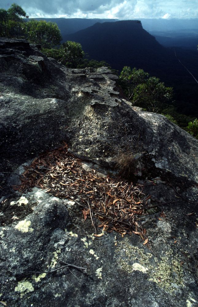
Above - rock formation - Vengeance Peninsula
Above - another view of the "thin bit", Vengeance Peninsula
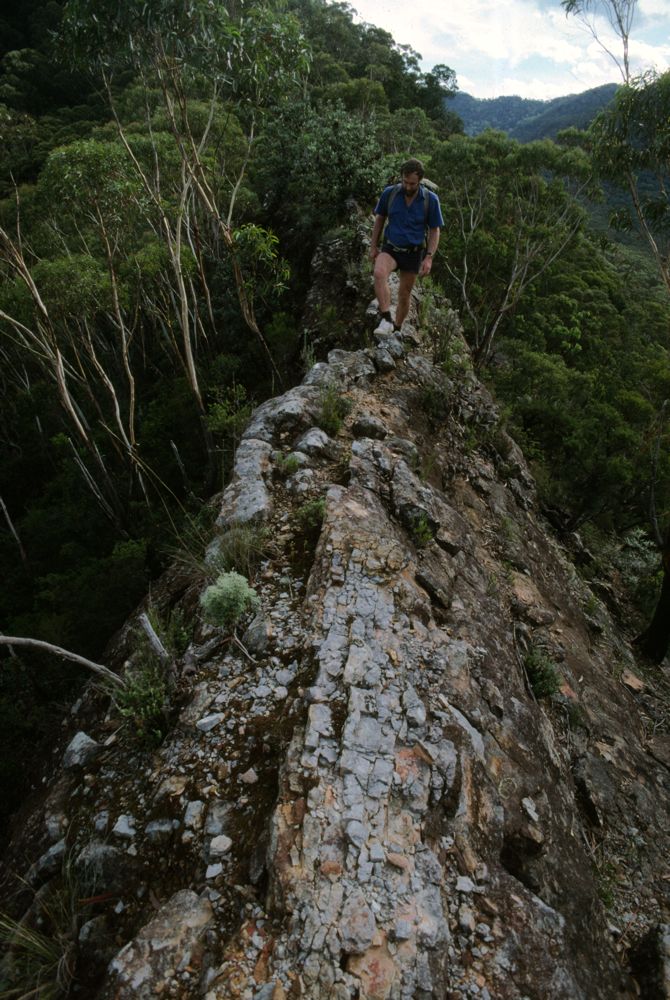
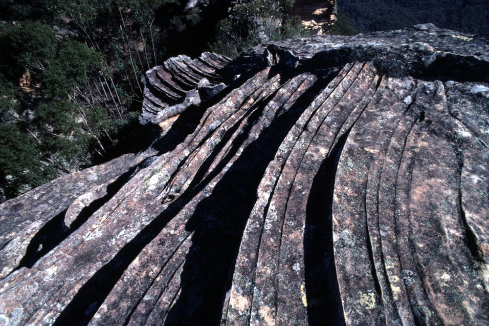
Above - Gordon Thompson on the "razorblade" - the ridge that extends
towards Lacys Tablelnd from Bull Island Peak. This is a truly amazing
formation.
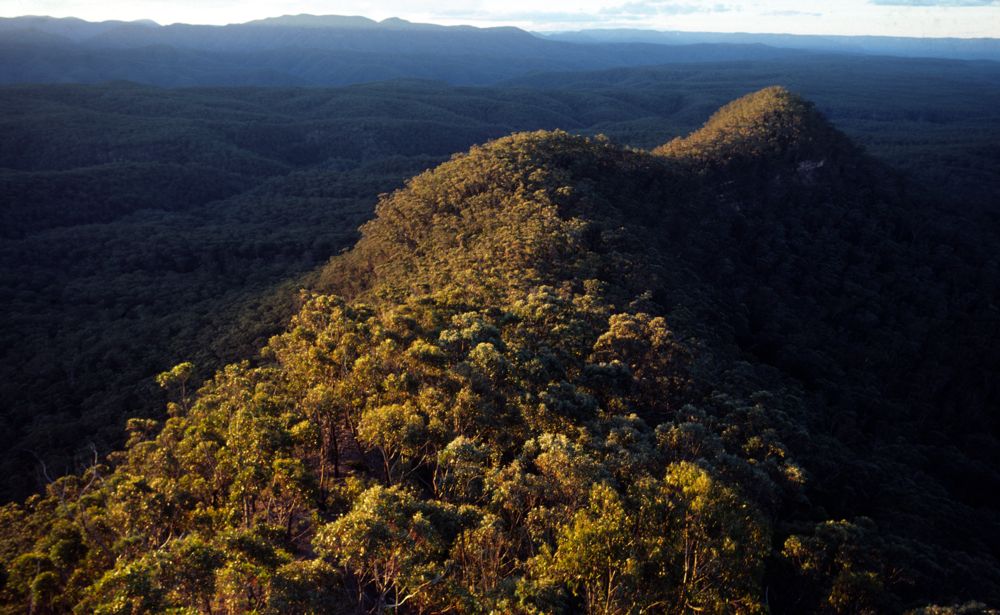
Above - This ridge heading north west off Axehead Mountain provides an
easy route back towards Scotts Main Range and the Kowmung River. The
main difficulty is getting off the second bump - down steep slopes of
dirt (via the right hand side)

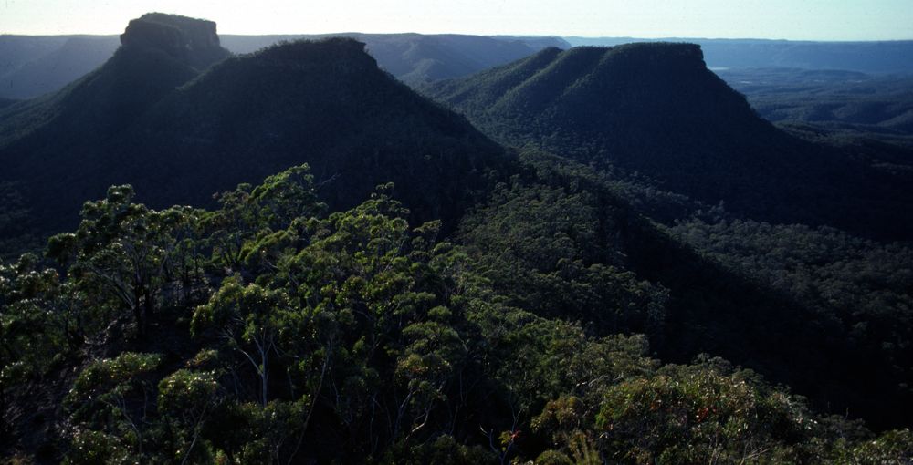
Above - The Axehead Range from Lacys Tabeleland
Above - Dawn - from Axehead Mountain. Bull Island and Bull Island Peaks

Above - Dawn - Axehead Mountain. After rain rock pools such as this can
provide good sources of water.
Above - Looking down Green Wattle Valley towards Broken Rock Range from
Vengeance Peninsula

Above - Another view of the "thin bit", Vengeance Peninsula. Some easy
but exposed scrambling is required to negotiate this section of the
high level traverse.

Above - Ashley Burke and John Atkinson on the "thin bit"
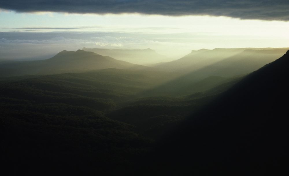
Above - morning mist
Above - another dawn view

Above - Dawn - looking towards Lacys Tableland
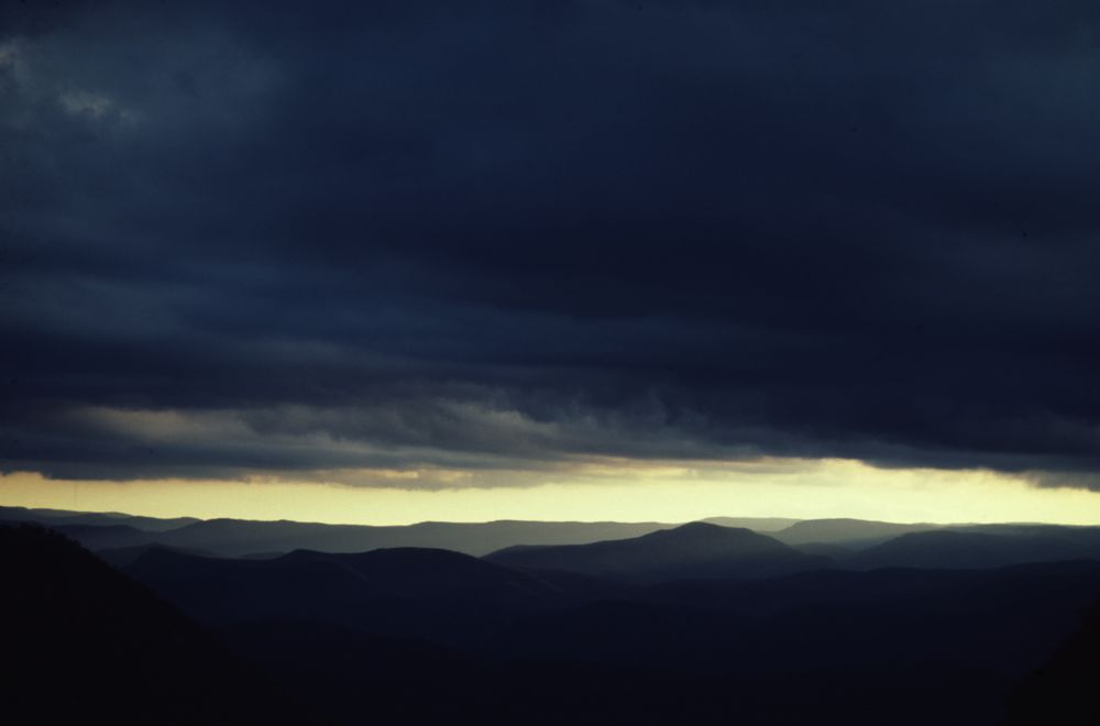
Above - Stormclouds over the Kowmung Valley from a high camp on Axehead
Mountain
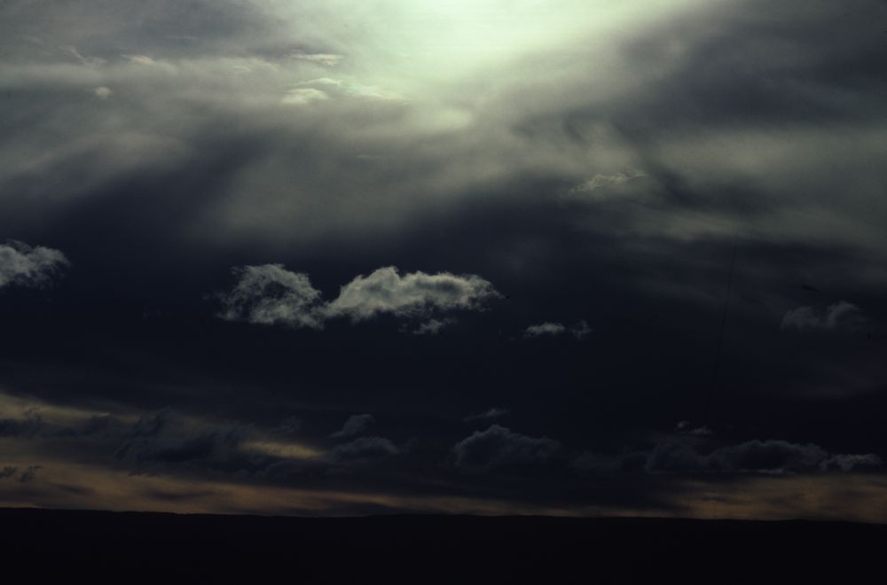
Above - Stormy sky
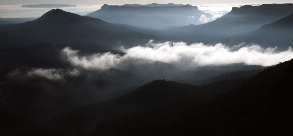
Above - Sunrise over Vengeance Peninsula
Continue to Blue Breaks Page
Continue to Lacys Tableland, Bimlow Tableland and
Lacys Creek
Continue to Bimlow Tableland
Continue to Broken Rock Range
Return to Greater Blue
Mountains Menu
Return to david-noble.net