Lacys Tablelend, Bimlow Tablelands, Lacys Creek
All photographs © David Noble. No image can be used for any
purpose without permission.

Above - The Axehead Range from Lacys Tableland. This view was taken
from the steep scrambling pass on Terni Head. Behind the gap is the
"razorblade" ridge leading to Bull Island Peak.
Above - Bull Island Peak from Lacys Tableland in poor weather
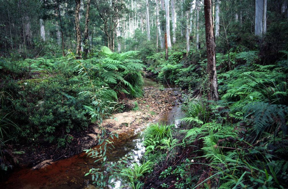
Above - Lacys Creek - the upper part flows through a magnificent forest
of Blue Gums
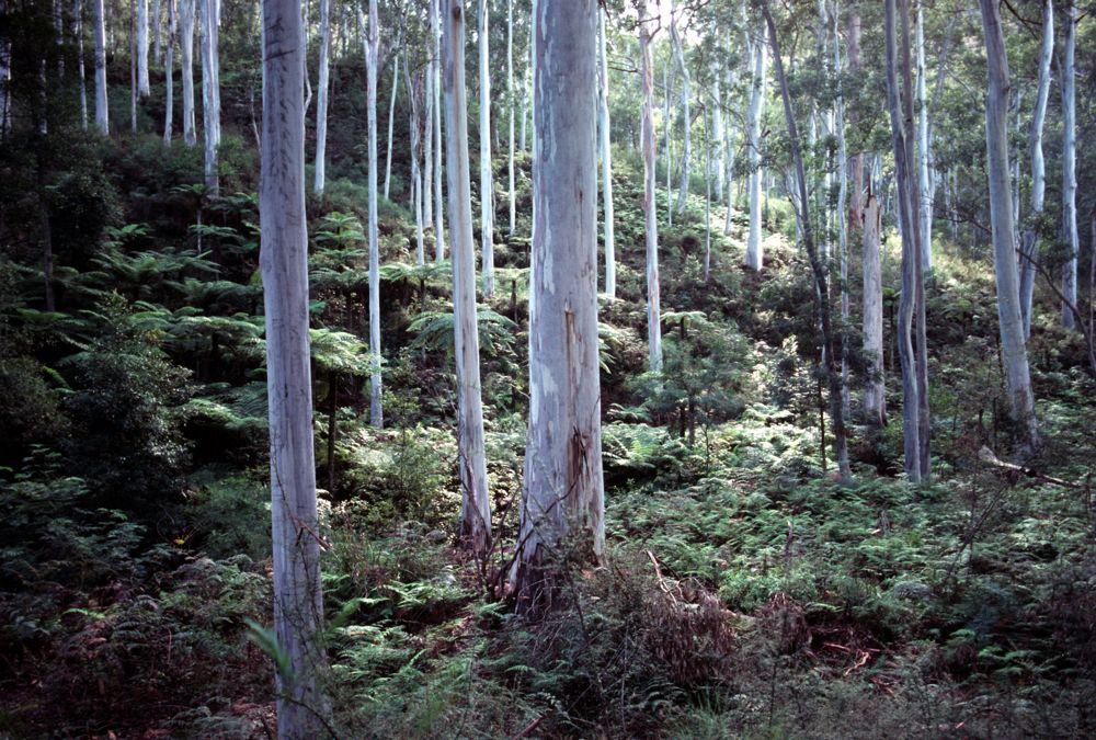
Above - Lacys Creek - Blue Gums
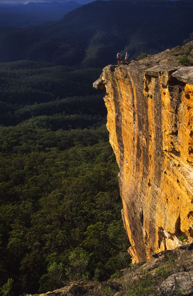
Above - walkers on the cliff that marks the border between Lacys
Tablelnd and Bimlow Tableland
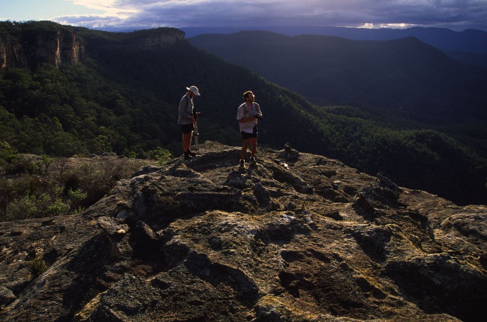
Above - walkers on the cliff that marks the border between Lacys
Tablelnd and Bimlow Tableland

Above - Bimlow Tableland - dawn

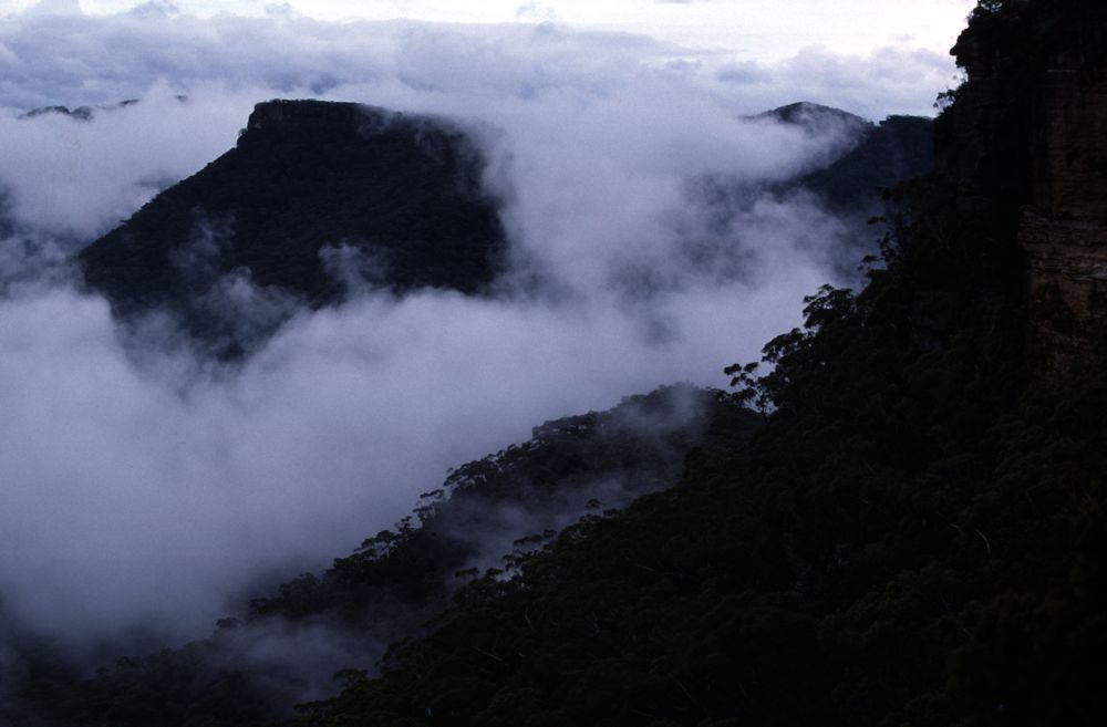
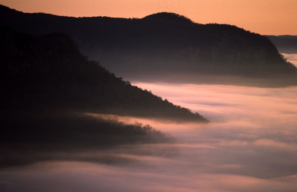
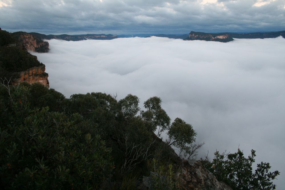
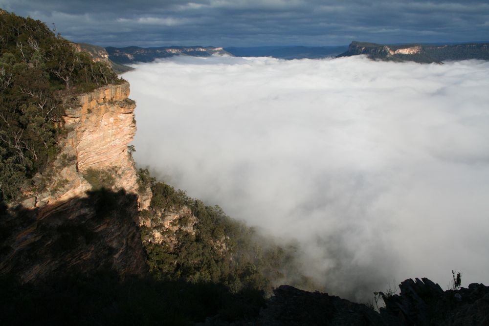
Above - morning mist - Bimlow Tablelands and Green Wattle Valley
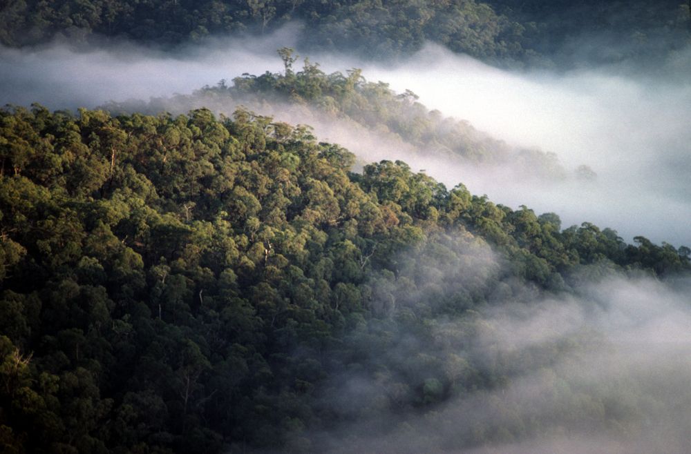
Above - morning mist
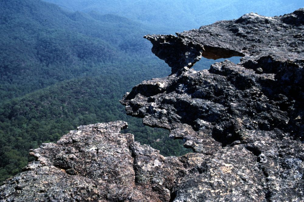
Above - thin bits of cliff
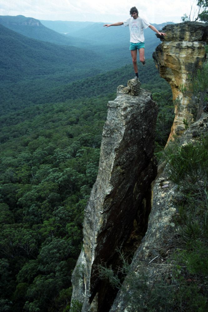
Above - Wally (Andrew Cox) on a wallicle - Bimlow Tablelands
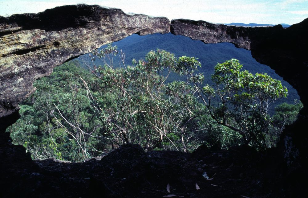
Above - small rock arch - Bimlow Tablelands
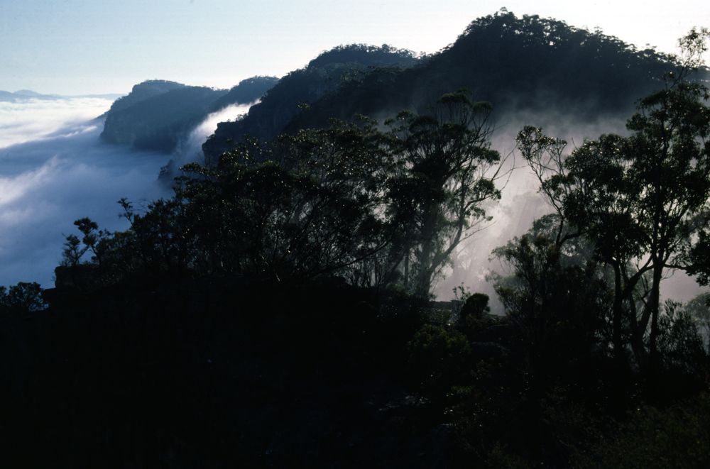
Above - morning mist - looking towards Broken Rock Range
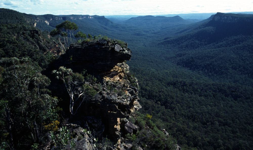
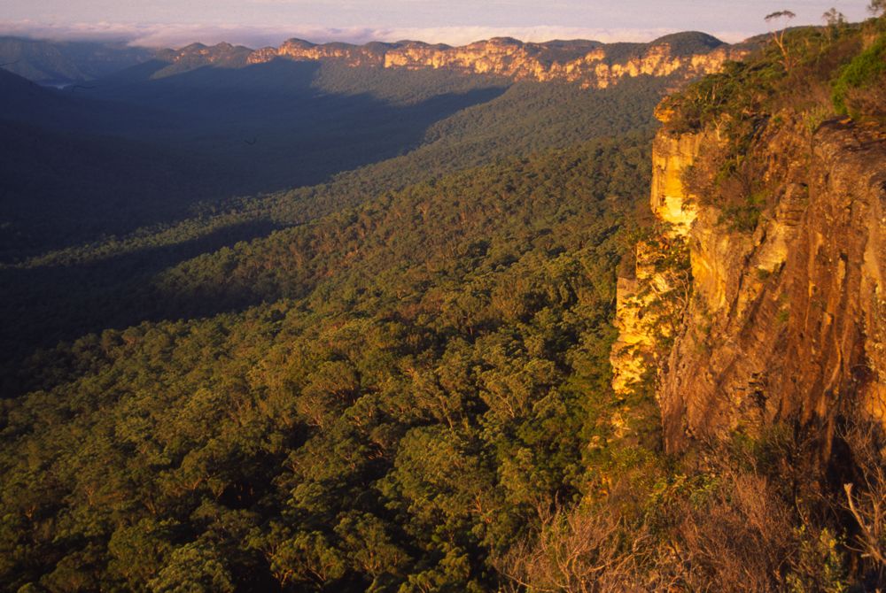
Above - view from Bimlow Tablelands
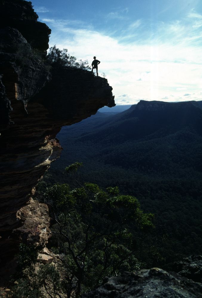
Above - walker on an overhang - Bimlow Tablelands
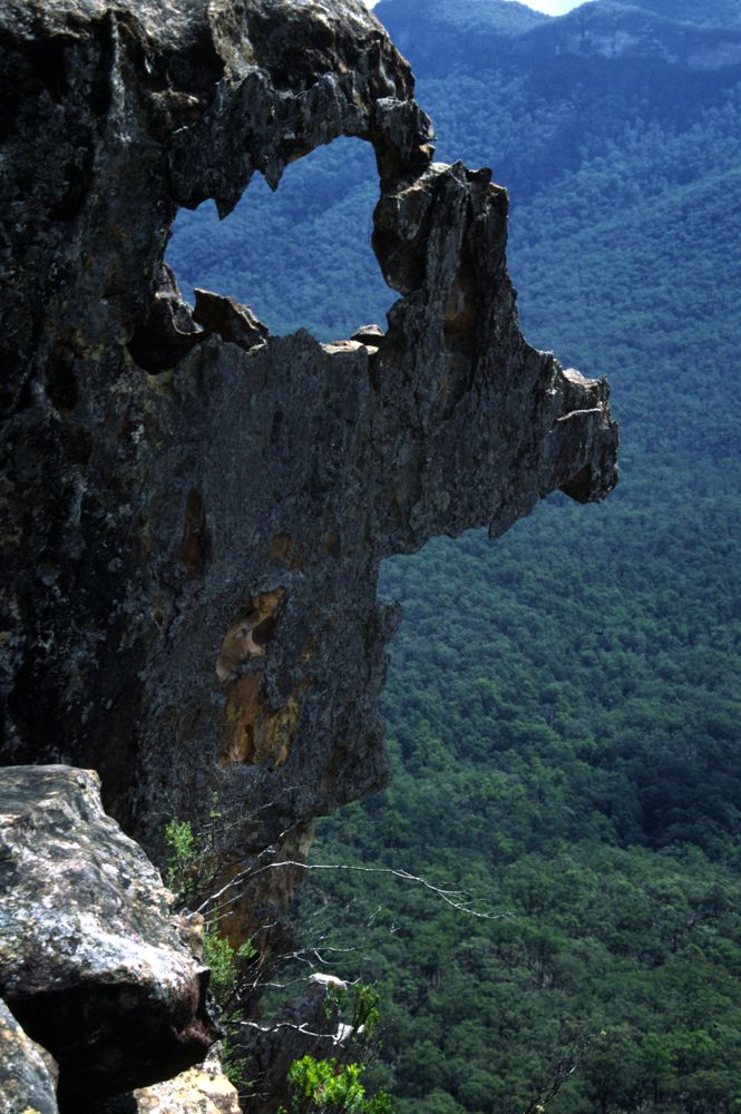
Above - "face" - Bimlow Tablelands
Above - Looking north along Bimlow Tableland - most of this can be
traversed in a day of bushwalking
Above - morning mist - Bimlow Tablelands
Above - morning mist - Bimlow Tablelands
Above - morning mist - Bimlow Tablelands
Continue to Blue Breaks Page
Continue to the Axehead Range
Continue to Bimlow Tableland
Continue to Broken Rock Range
Return to Greater Blue
Mountains Menu
Return to david-noble.net