The Yodellers Range
All photographs © David Noble. No image can be used for any
purpose without permission.
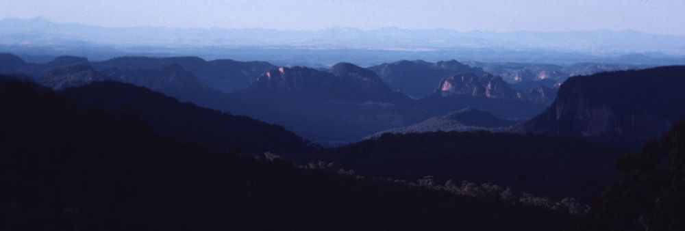
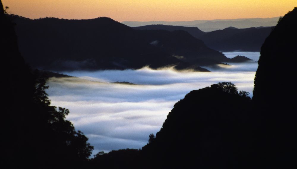
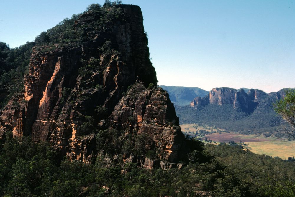
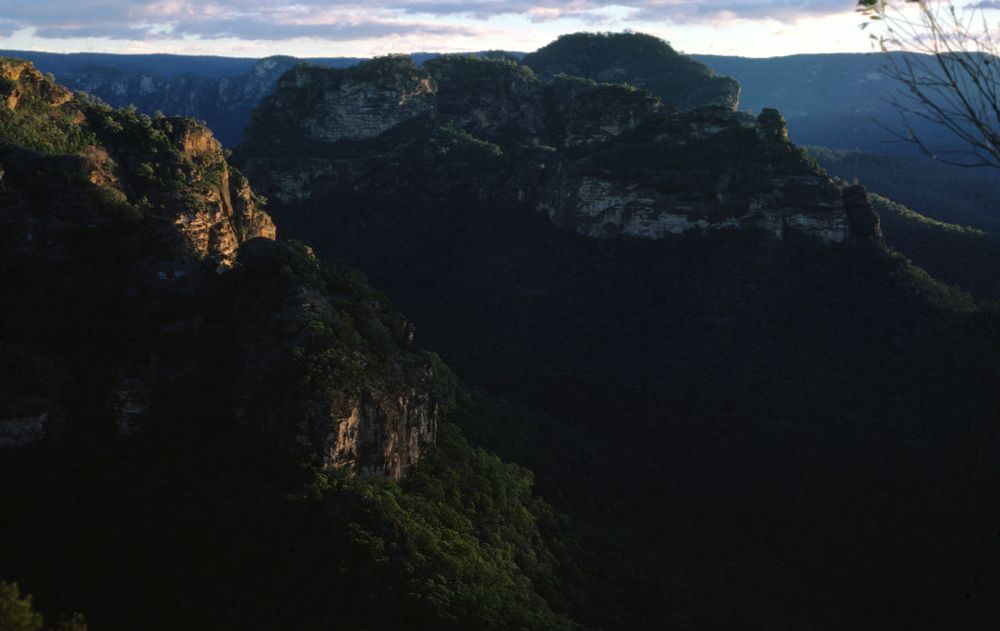
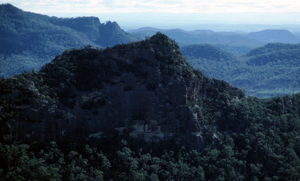
Above - The Yodellers Range from Nullo Mountain - late afternoon

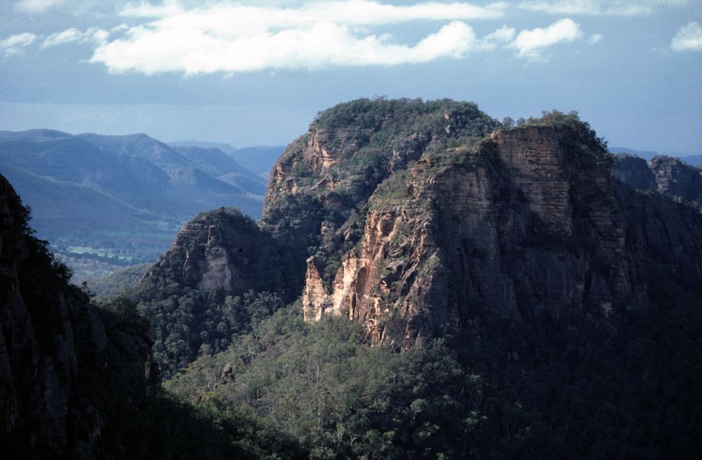
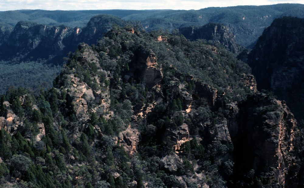
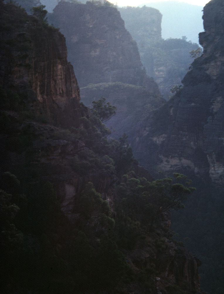
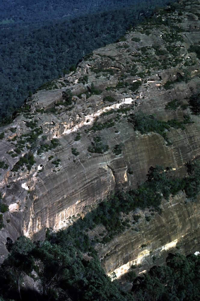
Above - This section of the range is very complex and slow to traverse
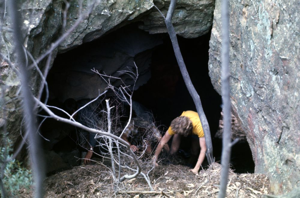
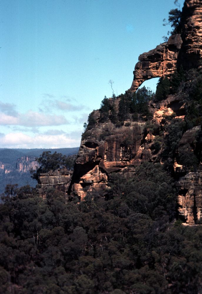
Above - This natural tunnel in the range - The Jungfrau - provides
access to the tops from the Emu Creek side
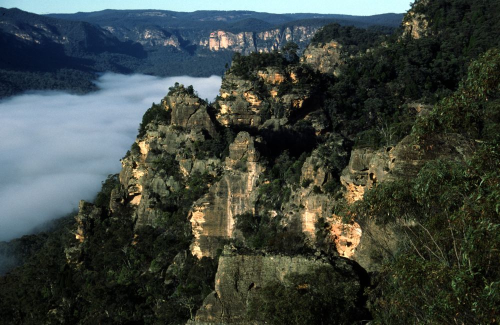
Above - The small peak in front of the mist is the Aiguille de
Schooner. The curving crack does provide a very steep descent route -
but most of the party scrambled down to the trees on the left and
reached the main irdge system by a very exposed traverse. Behind the
Aiguille is the Stockade (in the far distance, out of the mist).
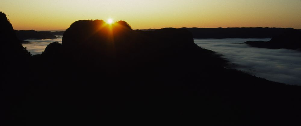
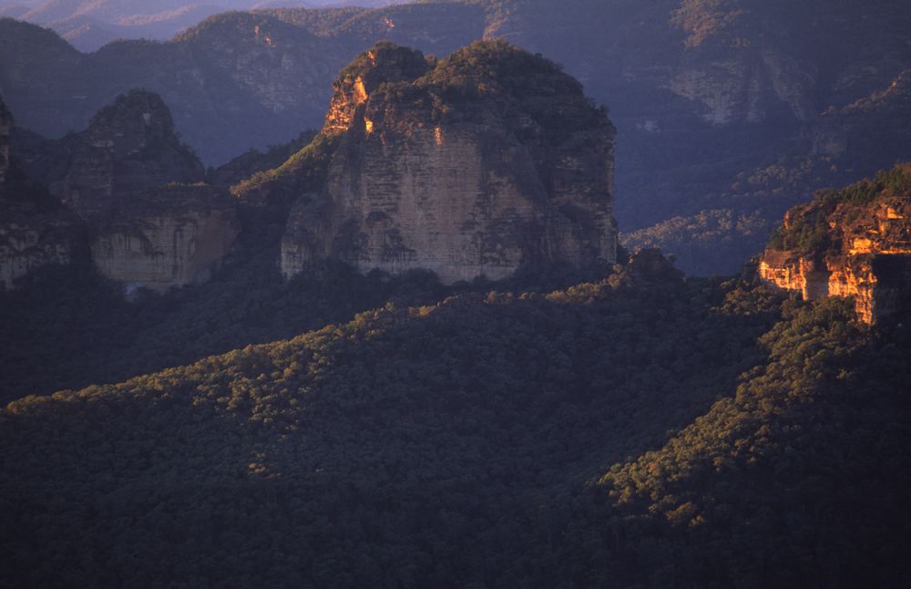
Above - Sunrise from a high amp on the Un-Named Peak
Above - Dawn - Myrtle Creek Valley
Above - Peter Vanamois (Moose) looks back at the steep descent route
from the top of the Un-Named Peak. The route lies just to the left of
the prominent left hand vertical crack.
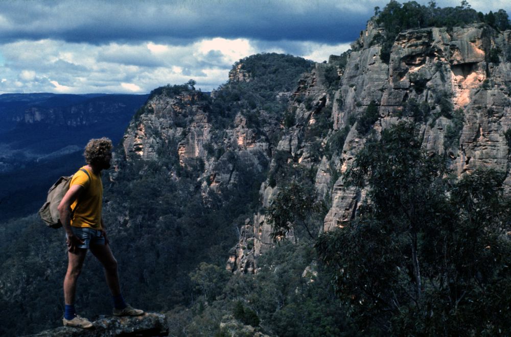
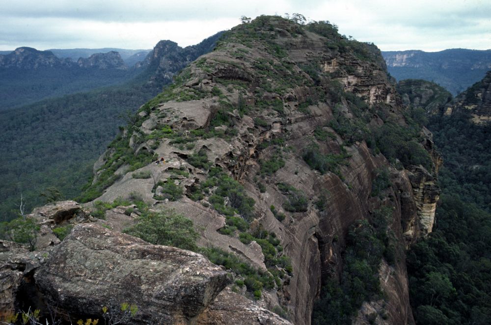
Above - The Unnamed Peak from the Blue Yodeller
Above - This view shows better the descent route from the Unnamed Peak.
About a third of the way down a walker is visible on a traverse. The
principal difficulties of the descent is the steep and exposed top half
- the ramp. The ascent of this peak from the other side is even more
difficult and is more than a tricky scramble.
Above - After the Blue Yodeller is Watts Mountain. The Blue Yodeller,
while steep is relatively easy to traverse. Watts Mountain is quite
tricky to climb from this side. Our party scrambled up the first two
steps and were then stopped by an imposing headwall - about half way up
the arete. Later, this was climbed by Nic Bendelli and party. Mt Morgan
can be seen across the valley on the right.
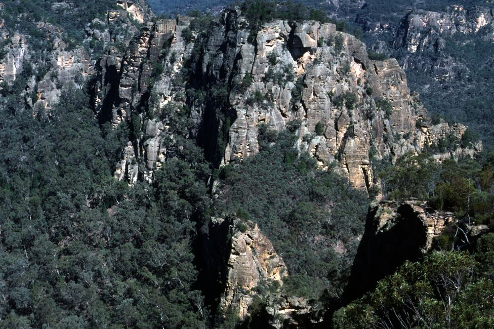
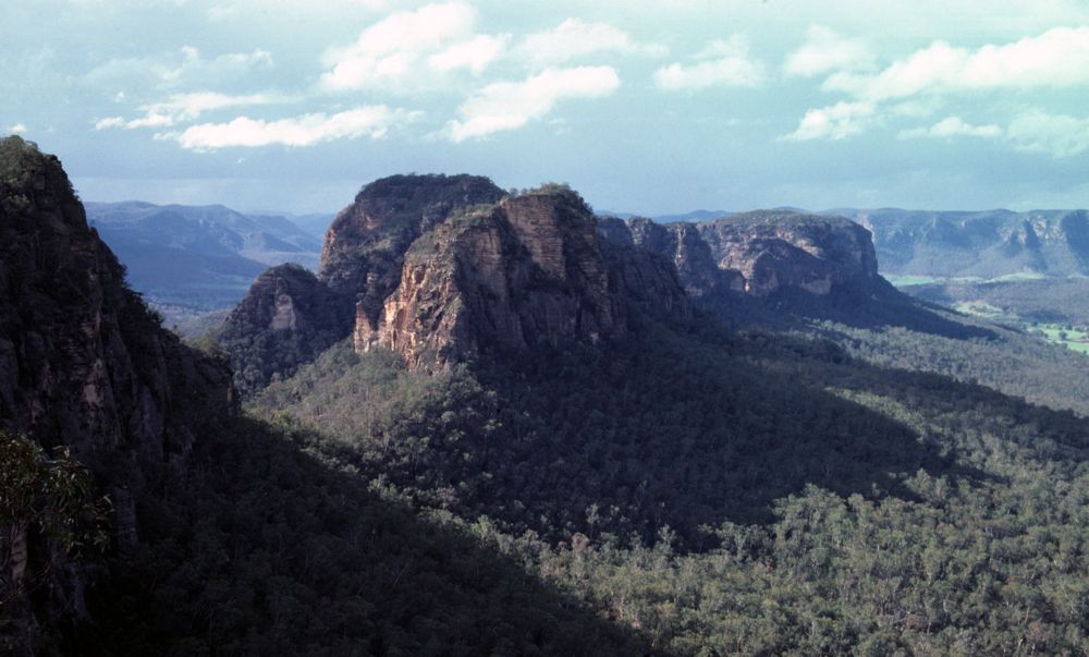
Above - Watts Mountain from the Blue Yodeller
Above - Watts Mountain and the rest of the range from the Blue Yodeller
Above - The "Beer Stein" this natural arch forms a perfect quadrant. It
is on the side of Watts Mountain.
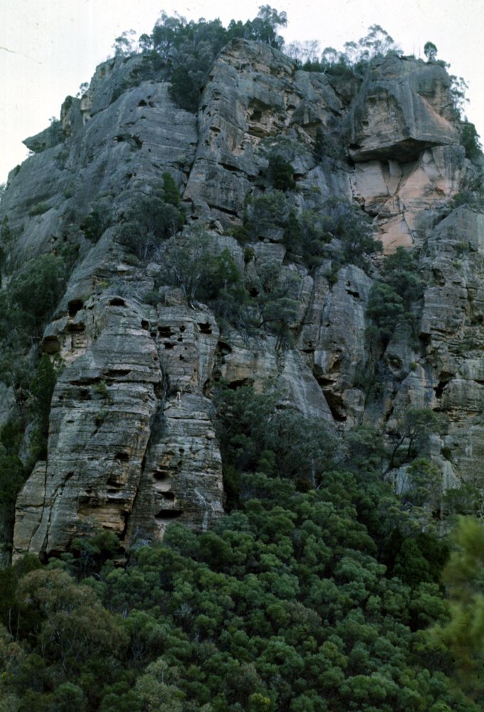
Above - Looking along Watts Mountain. Behind on the far right is The
Blue Yodeller and to the left of that is the Unnamed Peak.
Above - Tom Williams - our principal route finder on our traverse of
the range, looks at Wedding Cake Mountain. Note this peak is wrongly
labeled on the current 1:25,000 map
Above - Wedding Cake Mountain - always changing its appearance
depending on where you view it from
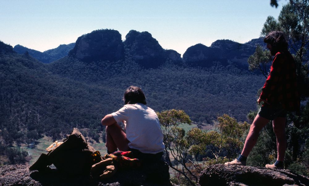
Above - Tom Williams and Chris Cosgrove looking at Wedding Cake
Mountain from a small hill in the valley near Emu Creek
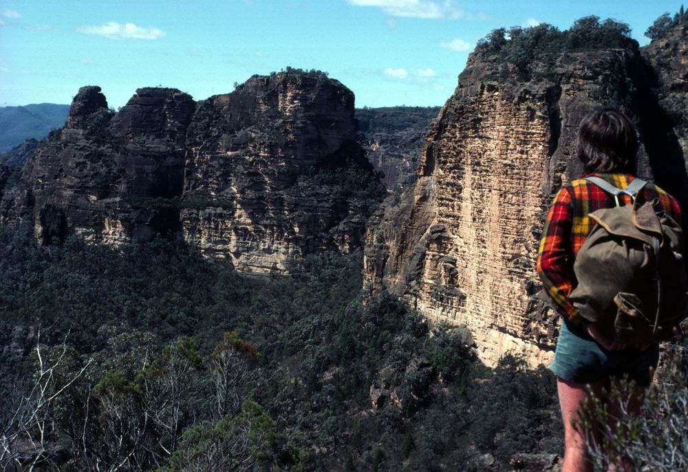
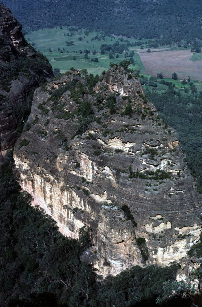
Above - Wedding Cake Mountain from the Cats Ears
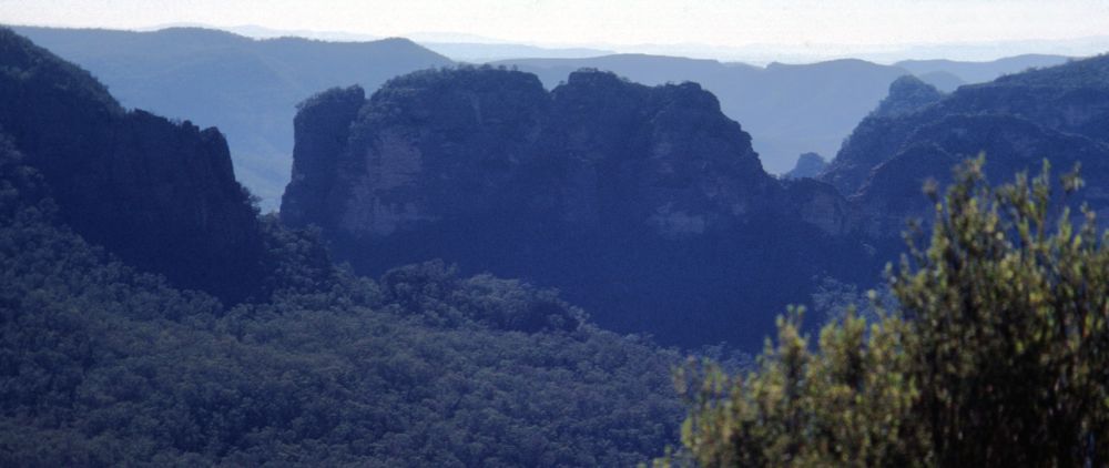
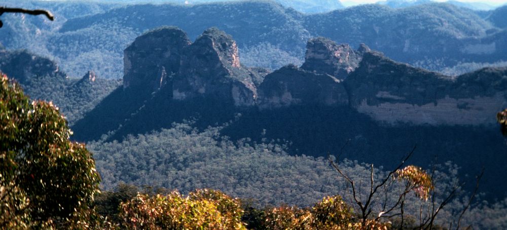
Above - Wedding Cake Mountain from Lovers Leap Range
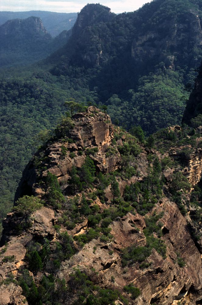
Above - On our traverse we gave this peak the name - "The Pile of
Poop". Our route was up the chimney on the bottom - on the left side of
the saddle - to reach the top of a pinnacle. Then it was a steep and
very exposed scramble up the face to the summit. On a later trip - we
found an easier route up from the defile behind the peak.
Above - Wedding Cake Mountain - chasms

Above - Wedding Cake Mountain - chasms. The peak of Wedding Cake
Mountain that is closest to Myrtle Creek is known as "Mt Tindale". The
Tindale family have farmed Myrtle Creek for many generations. In the
70's on trips we would enjoy meeting and talking to old Mr Tindale -
who used to tell us many tales of the area - about the country, horses
and bushrangers.
Above - this amazing bit of ridge connects the Cats Ears to a peak we
called the "Christmas Pudding"
Above - the connecting ridge
Above - Looking down from the summit of the Christmas Pudding to the
Pile of Poop. Between the two peaks is a very narrow defile.

Above - Col Mathers abseiling into the defile
Above - a view of this area from Mt Morgan. The peaks from left to
right - part of Watts Mountain, the small Aiguiile de Four Ounce,
Wedding Cake Mountain (two summits close together and a third on the
right - Mt Tindale) in front of the third summit is the Pile of Poop -
then a narrow
chasm can be seen - and then there is the Christmas Pudding and the
ridge leading to the Cats Ears. There are also chasms between the peaks
of Wedding Cake Mountain and the Pile of Poop.
Above - One of the Cats Ears. When coming up the Widden Valley the
names for these features are very obvious - they do look like a pair of
cats ears.
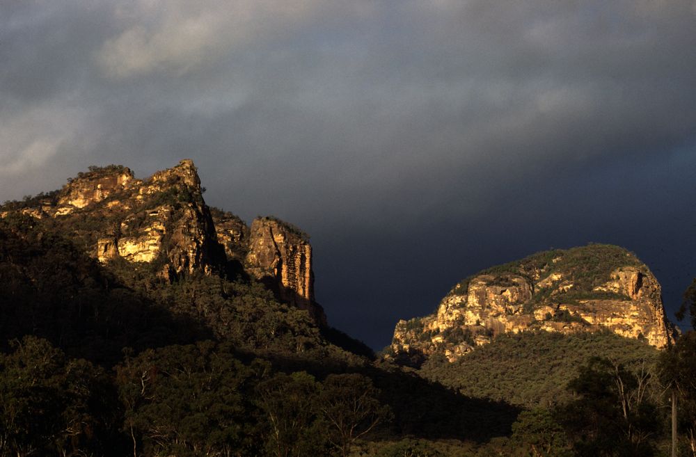
Wedding Cake Mountain (left) and Watts Mountain viewed from Myrtle Creek
Return to Widden Valley Area - Page 1
Return to Widden Valley Area - Page 2
Return to Greater Blue Mountains
Menu
Return to david-noble.net