Young - Wilkin - East Matukituki via Gillespie and Rabbit Passes
Day 8 - Top Forks - Rabbit Pass - Ruth Flat
All images © David Noble. No image can be used for any purpose without permission.
This was to be the longest and hardest day of the trip - over the
tricky Rabbit Pass. There were plenty of warnings not too tackle the
pass in wet or windy conditions in the hut and in our guidebooks. This
was certainly very good advice. Fortunately we had a marvelously fine
day.
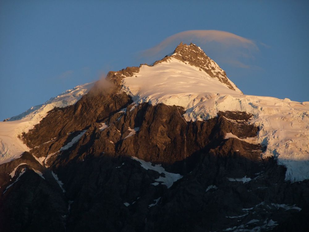
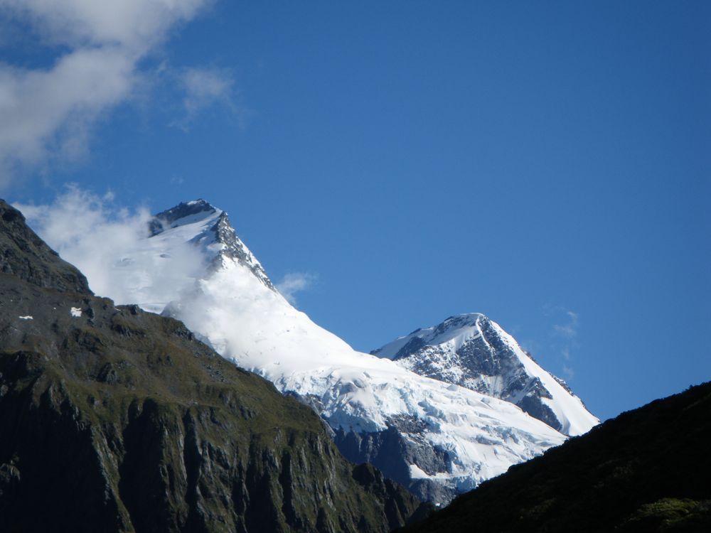
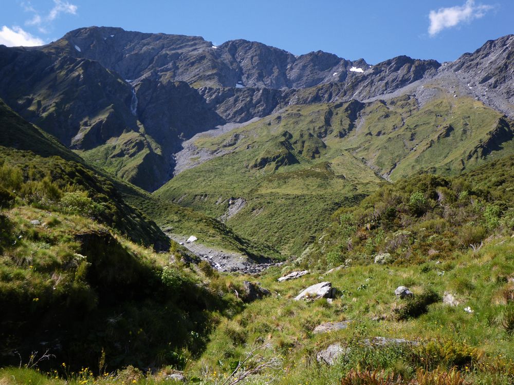
Above - Dawn (about 6:21 am) - Mt Castor

Above - a little later
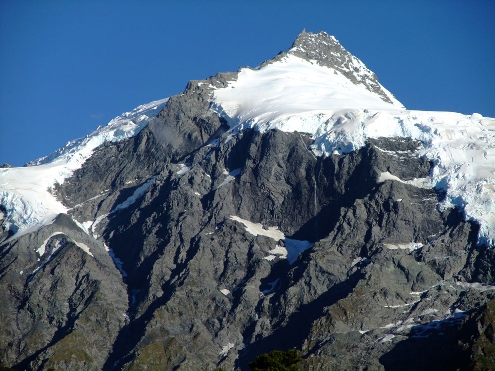
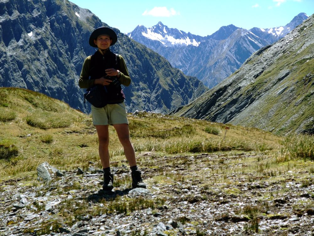
Above - and at 7:39 am - just before we set off
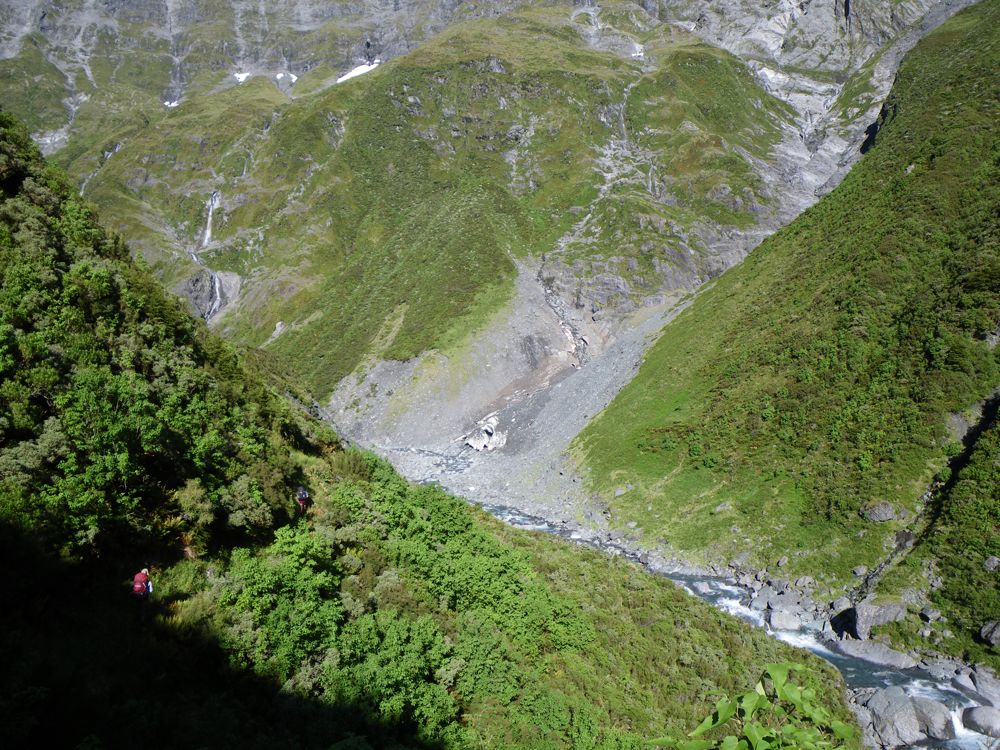
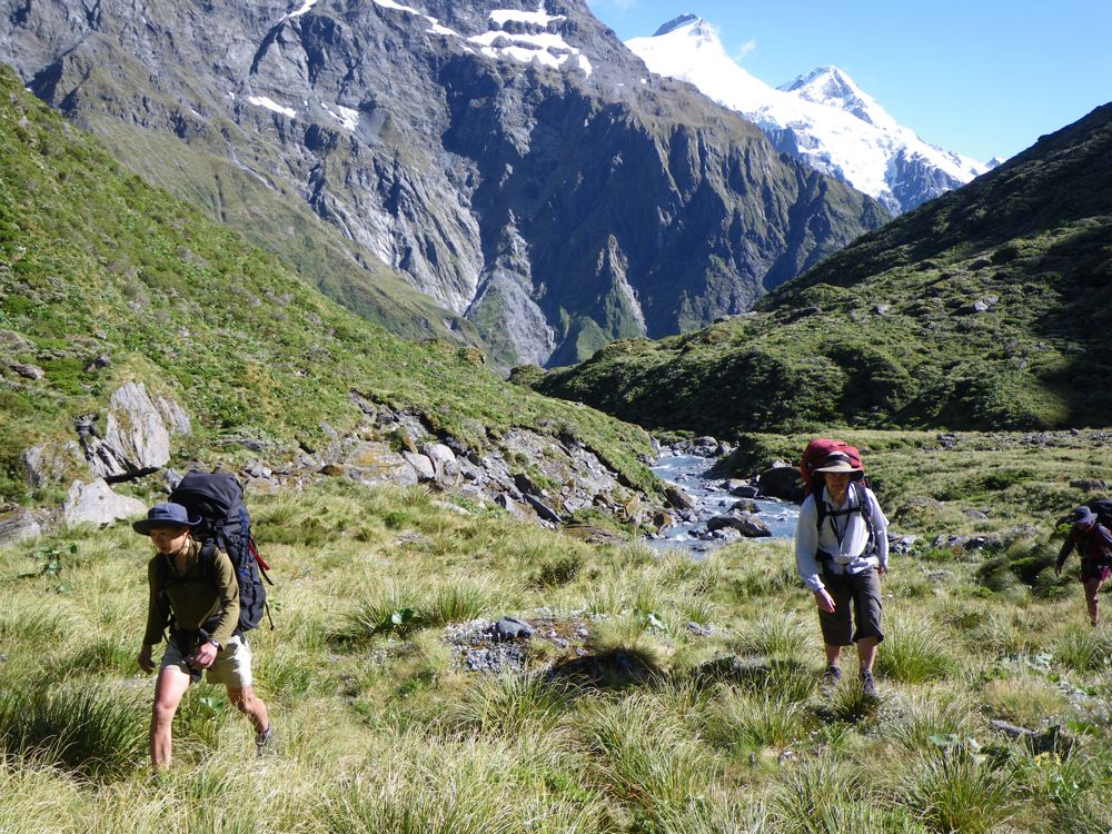
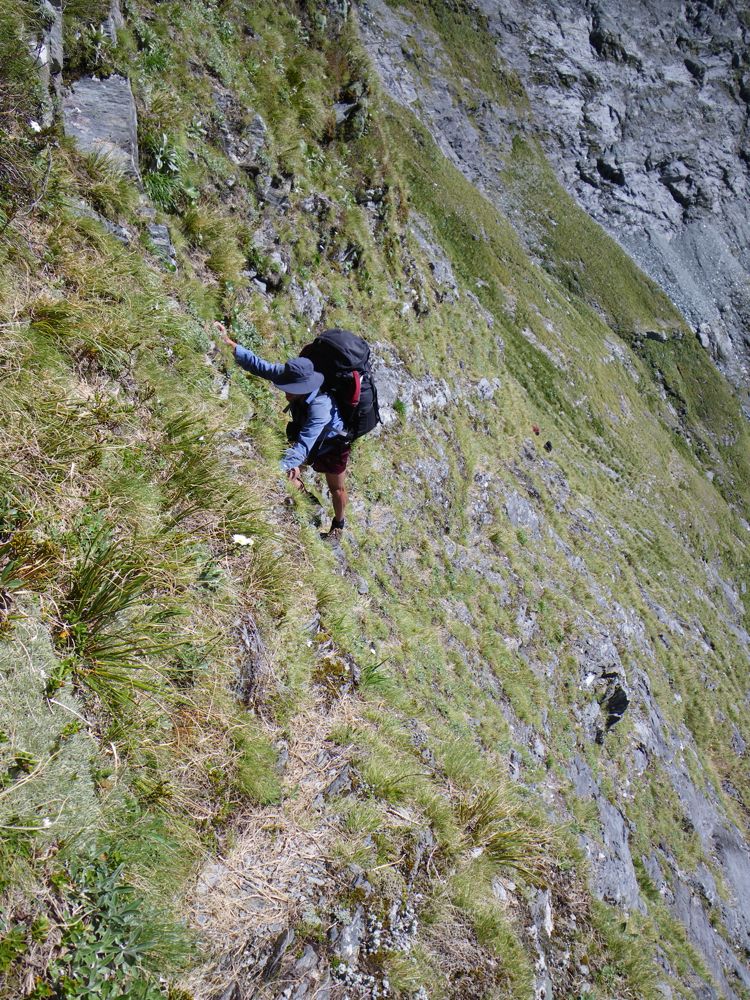
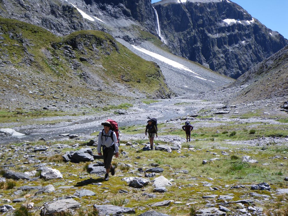
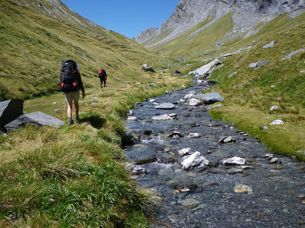
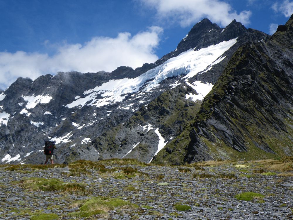
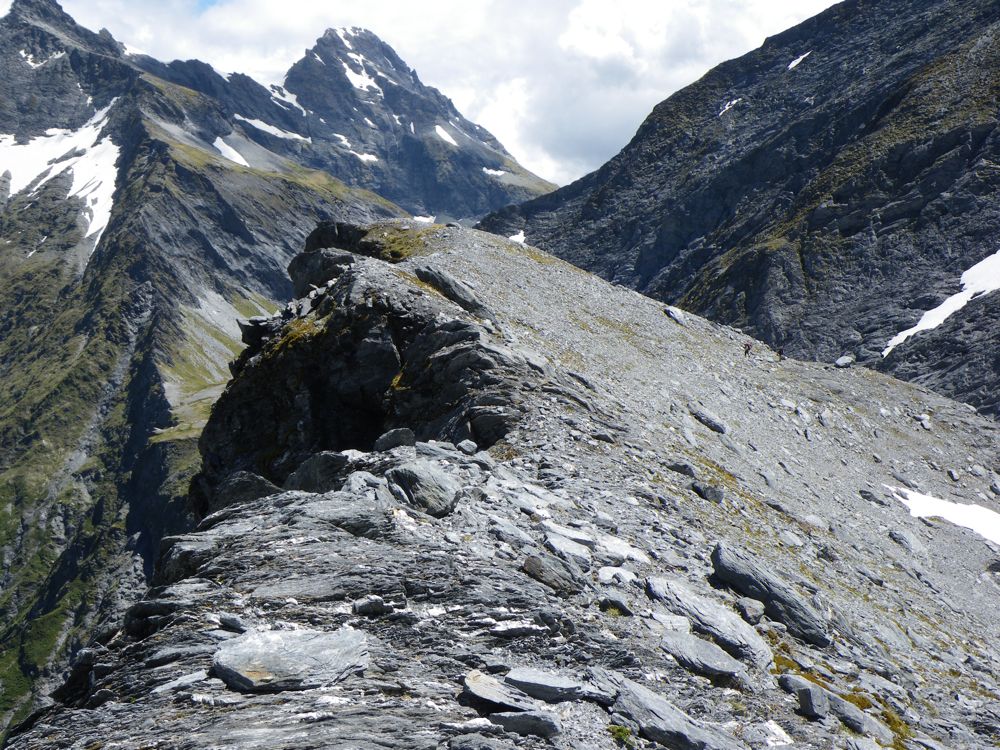
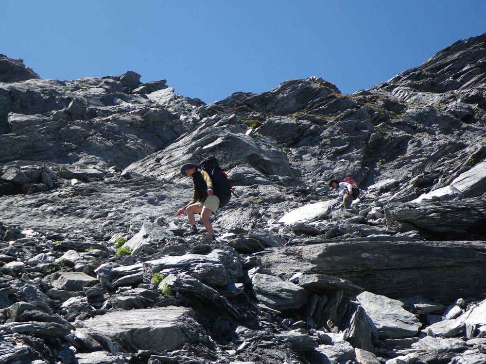
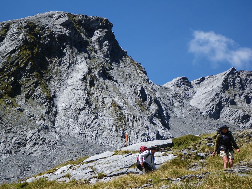
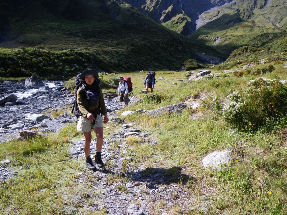
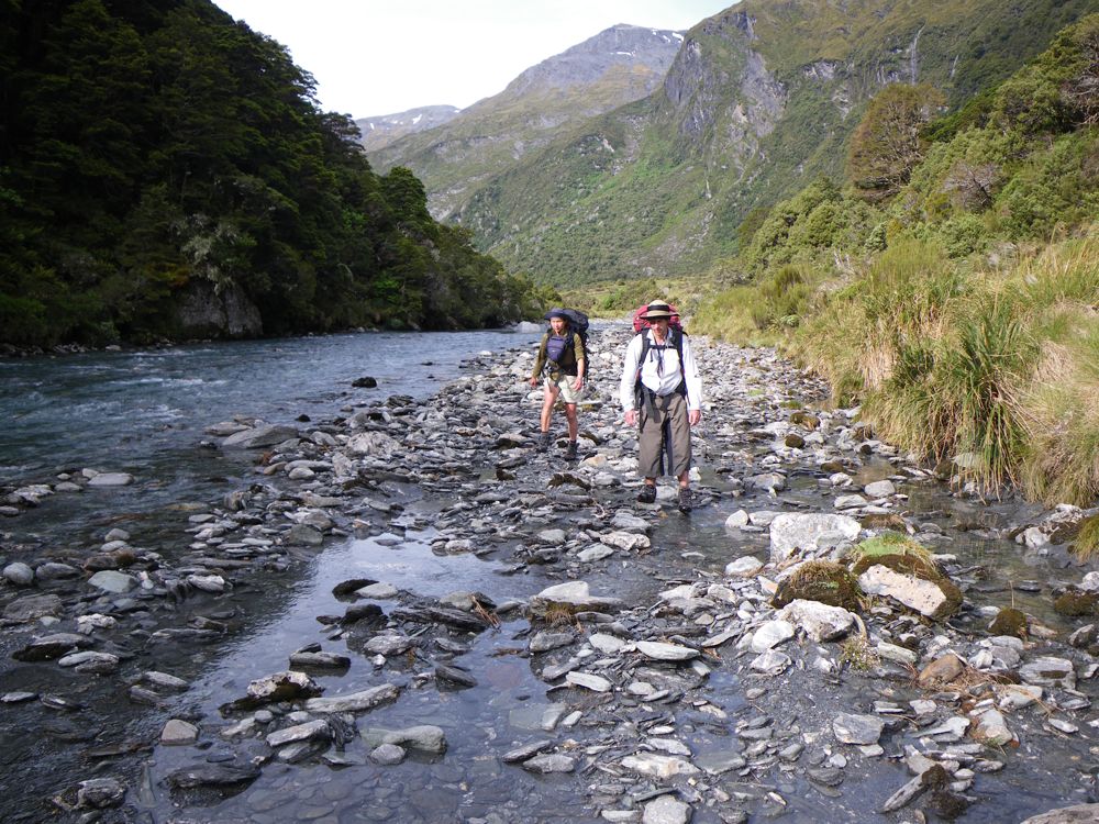
Above - John and Rob on the bottom left on the track high above the side of the south branch
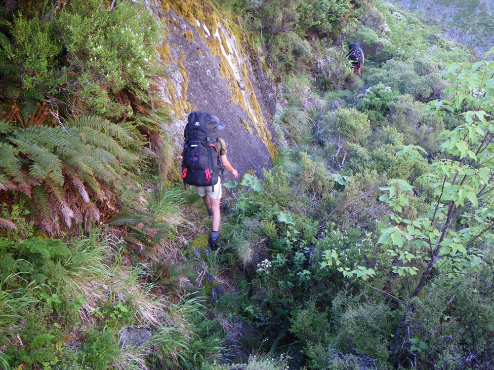
Above - Chuin Nee and Rob
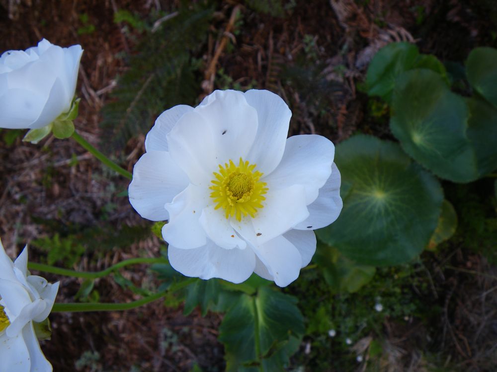
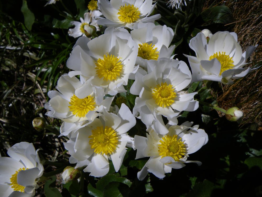
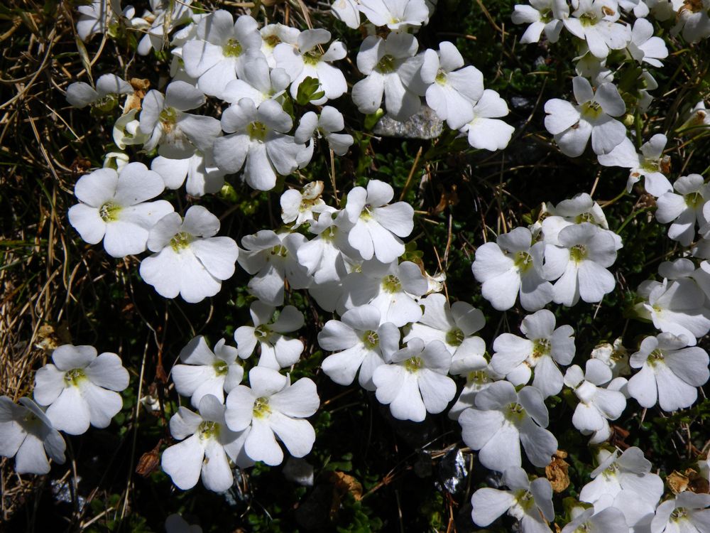
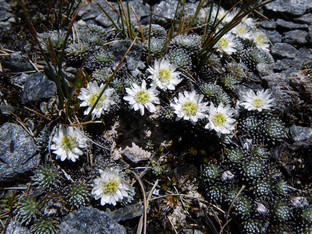
Above - Mt Cook Lily (Ranunculus lyallii)
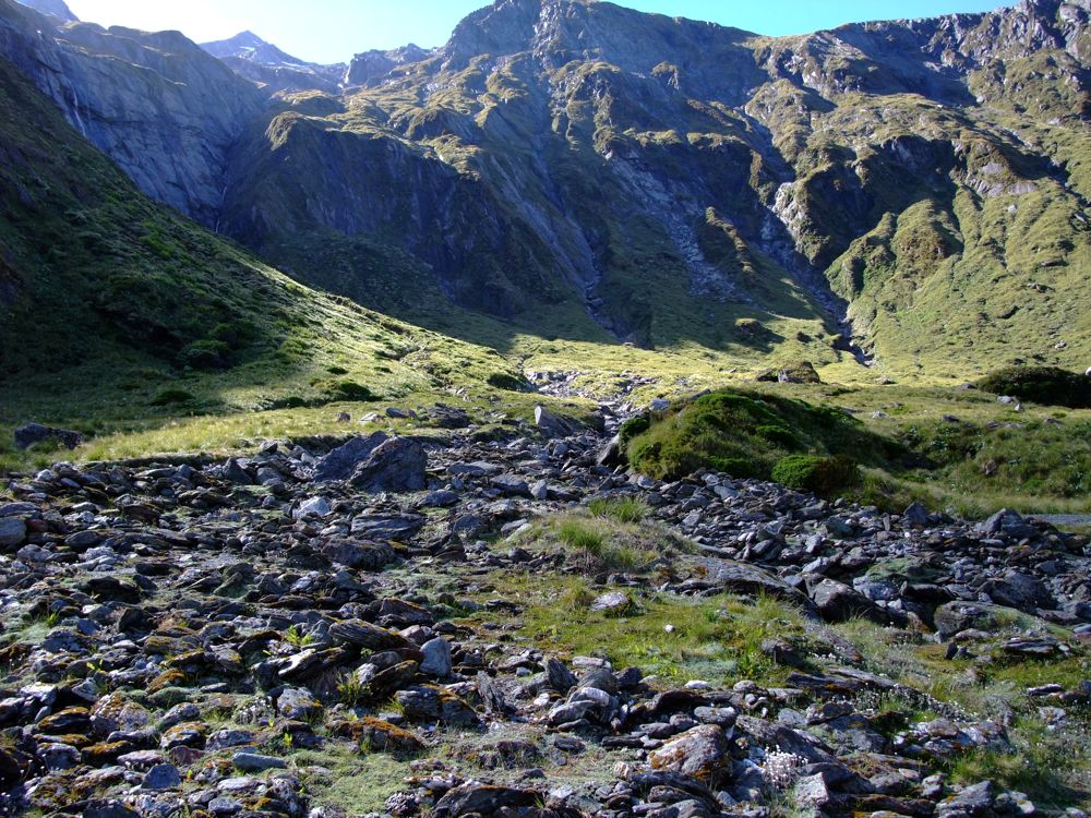
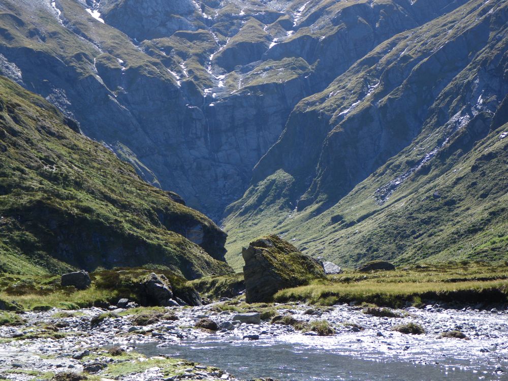
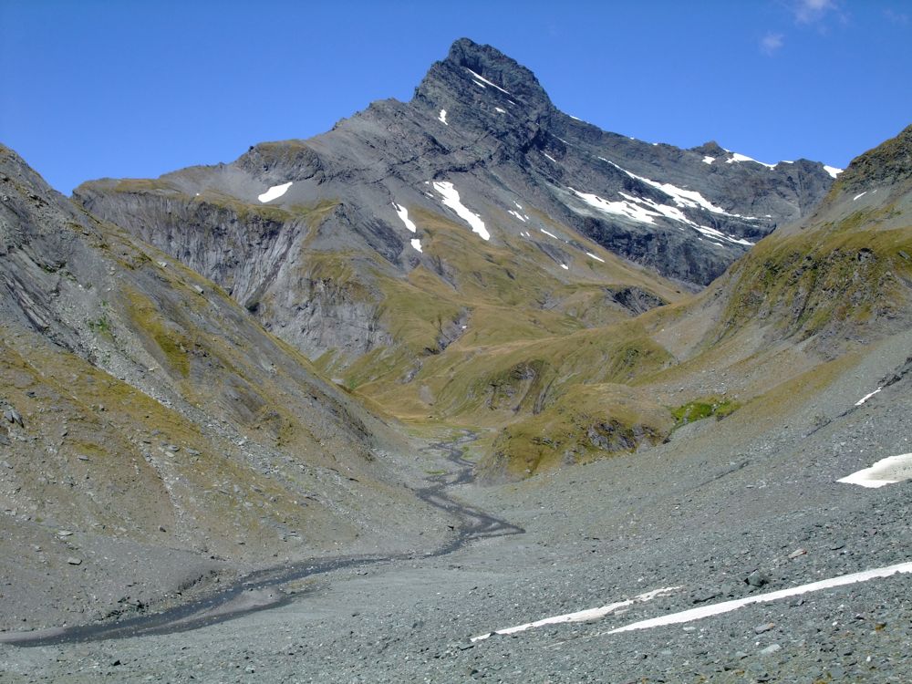
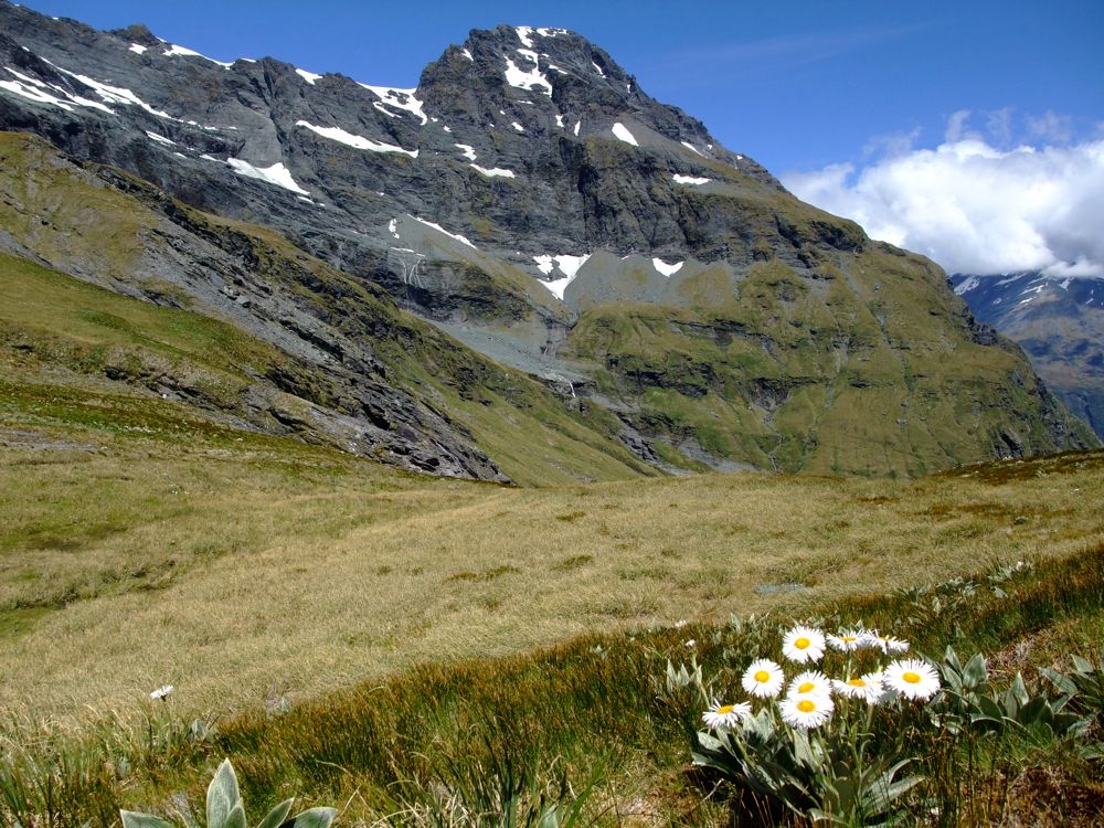
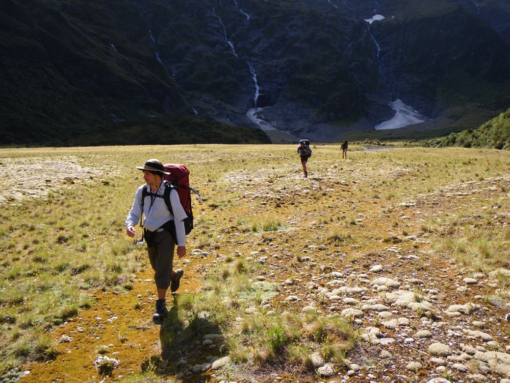
Above - an upper basin
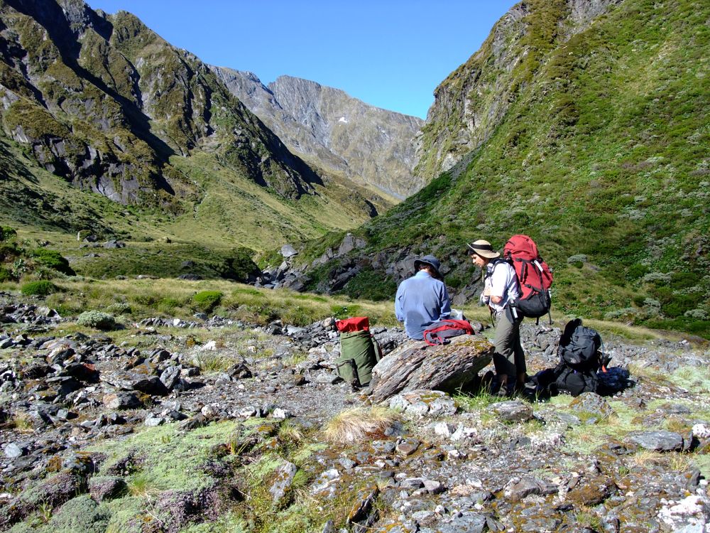
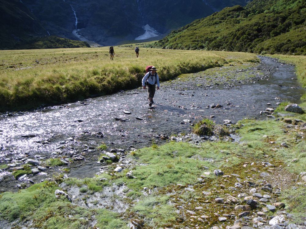
Above - a good place to take a break (and allow for some photo-pfaffing)
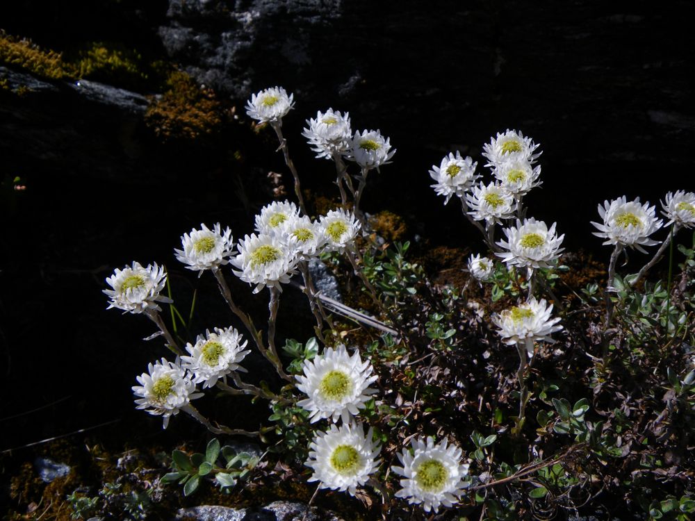
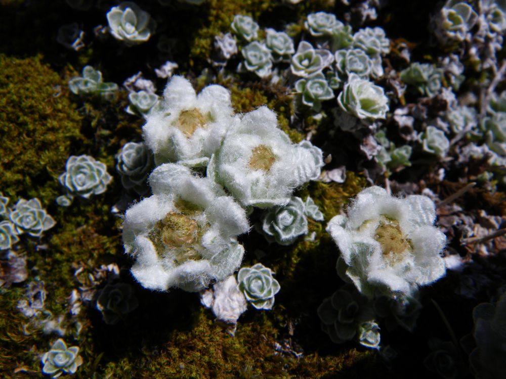
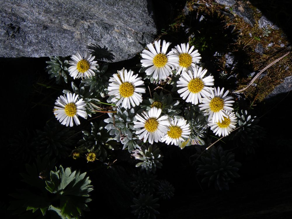
Above - everlasting daisies (Helichrysum bellidiodes)
Above - a last view of Castor and Pollux
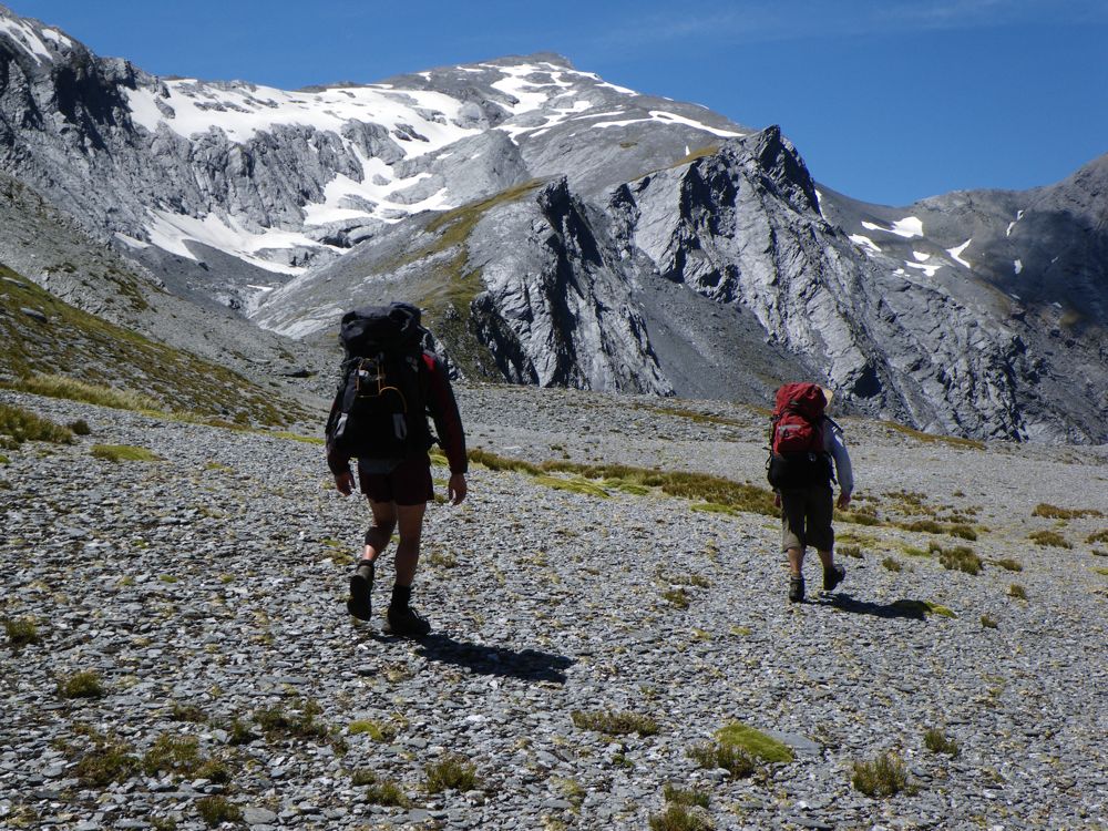
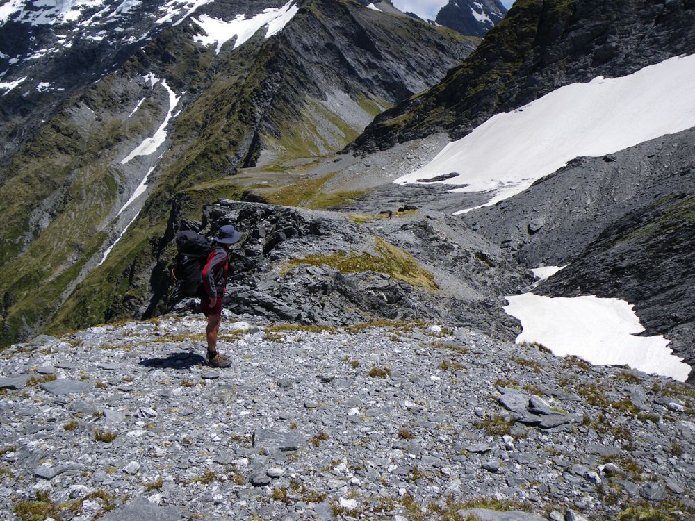
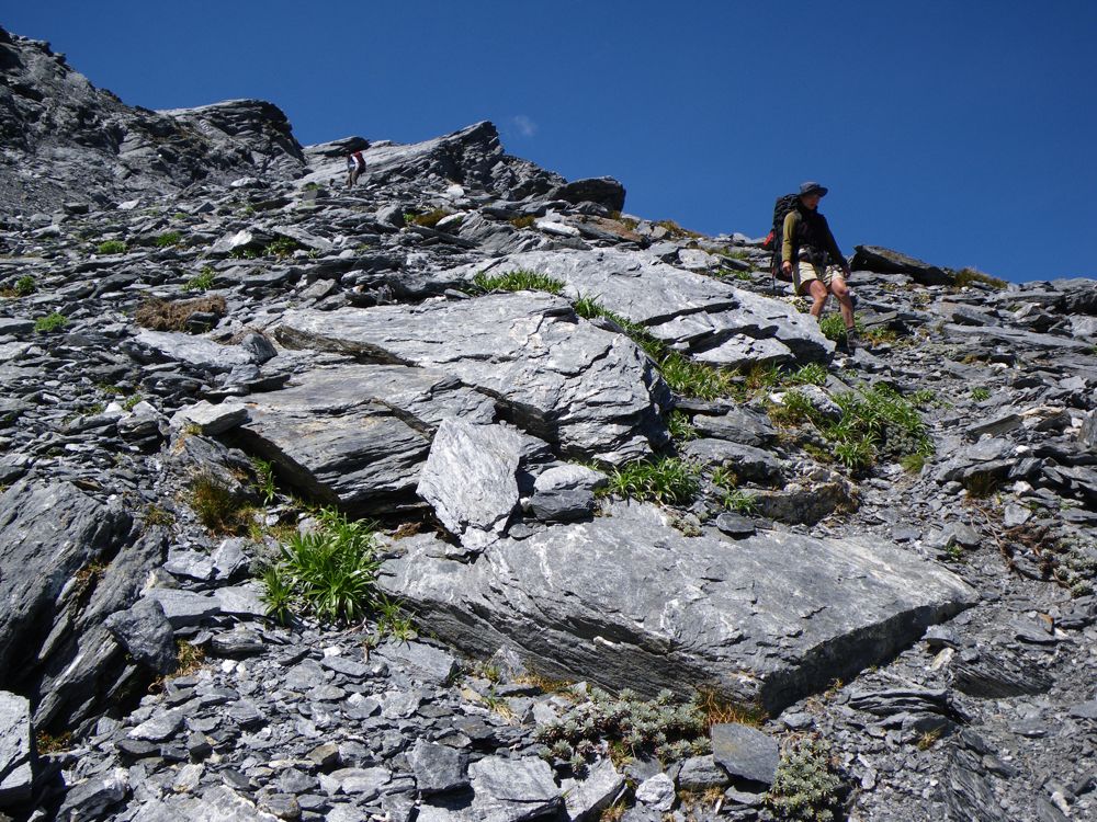
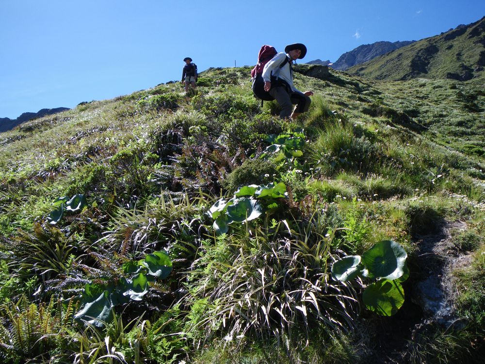
Above - continuing onwards and upwards
Above - we approach the waterfall face
Above - looking back down
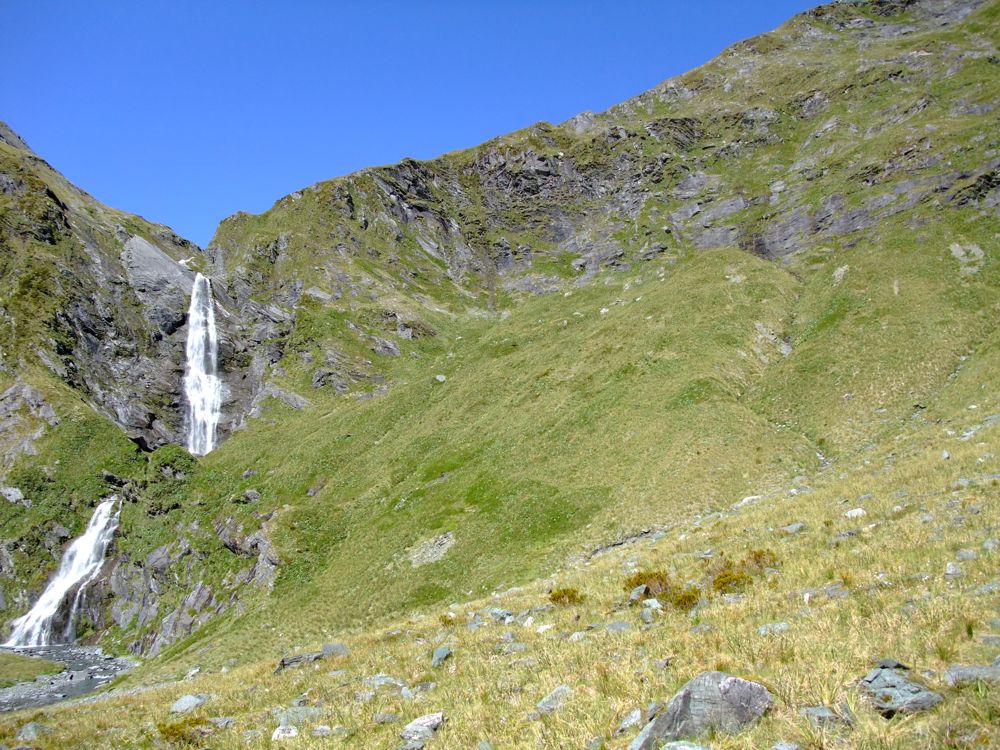
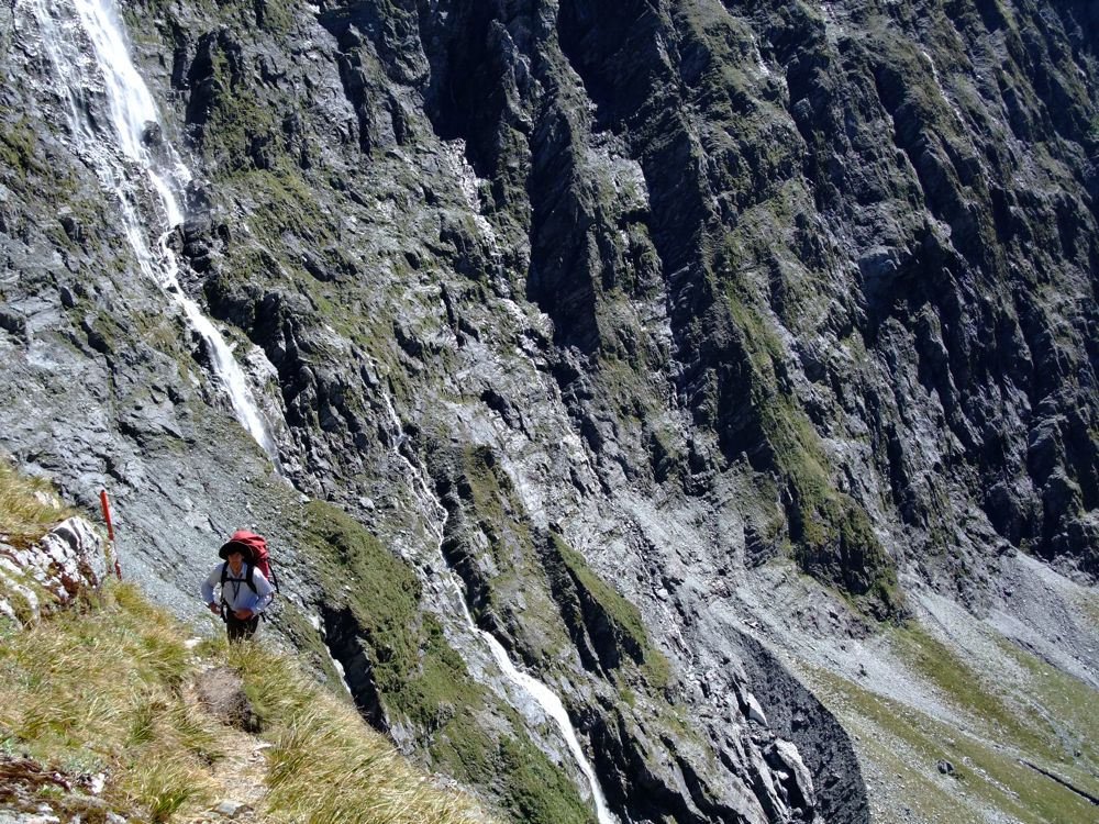
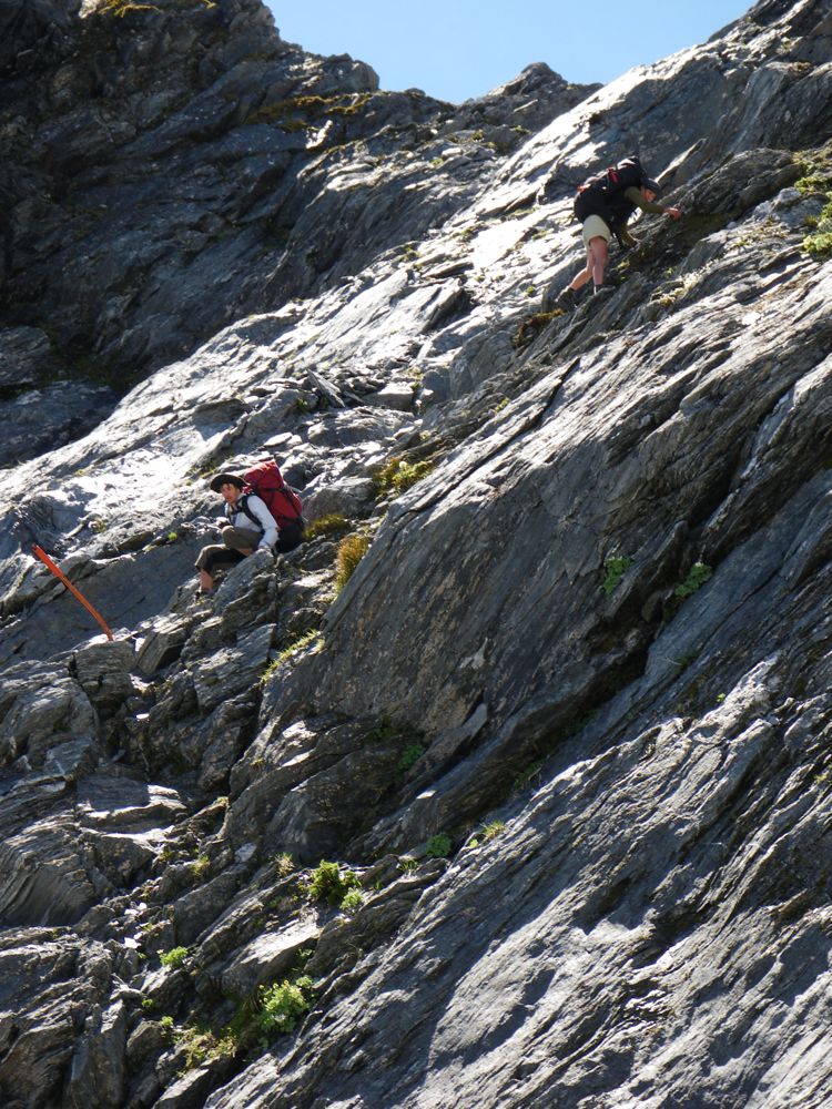
Above - the waterfall face. The hardest part of the route up to the
pass. The route (marked with standards) goes up on the right face
(about the middle of the photo) - up easy slopes, then steep country
towards the right with some small bluffs and then traverses back to the
left well above the waterfall.
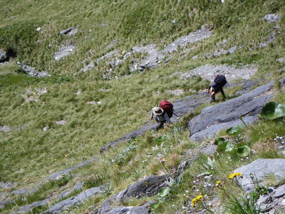
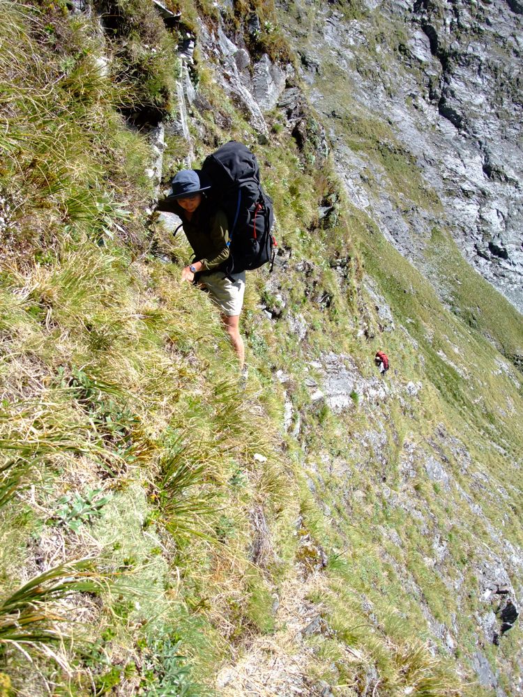
Above - looking down at John and Chuin Nee
Above - looking down at John and Chuin Nee

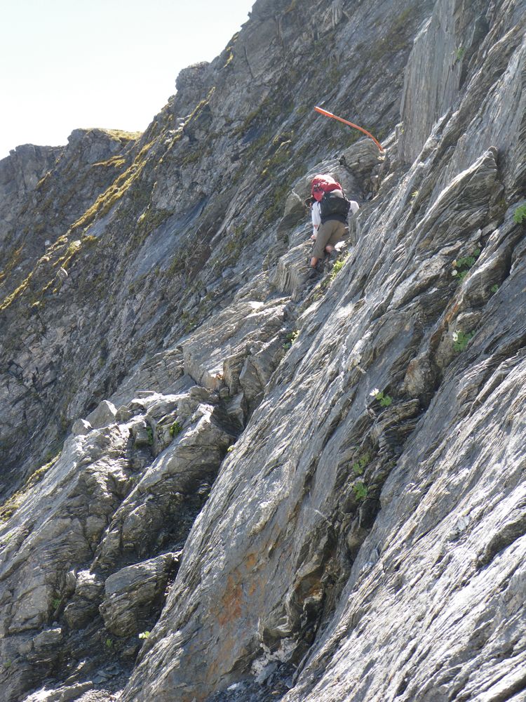
Above - Rob, with John much further below
Above - Rob on the final traverse - with John and Chuin Nee below
Above - Rob on the last bit
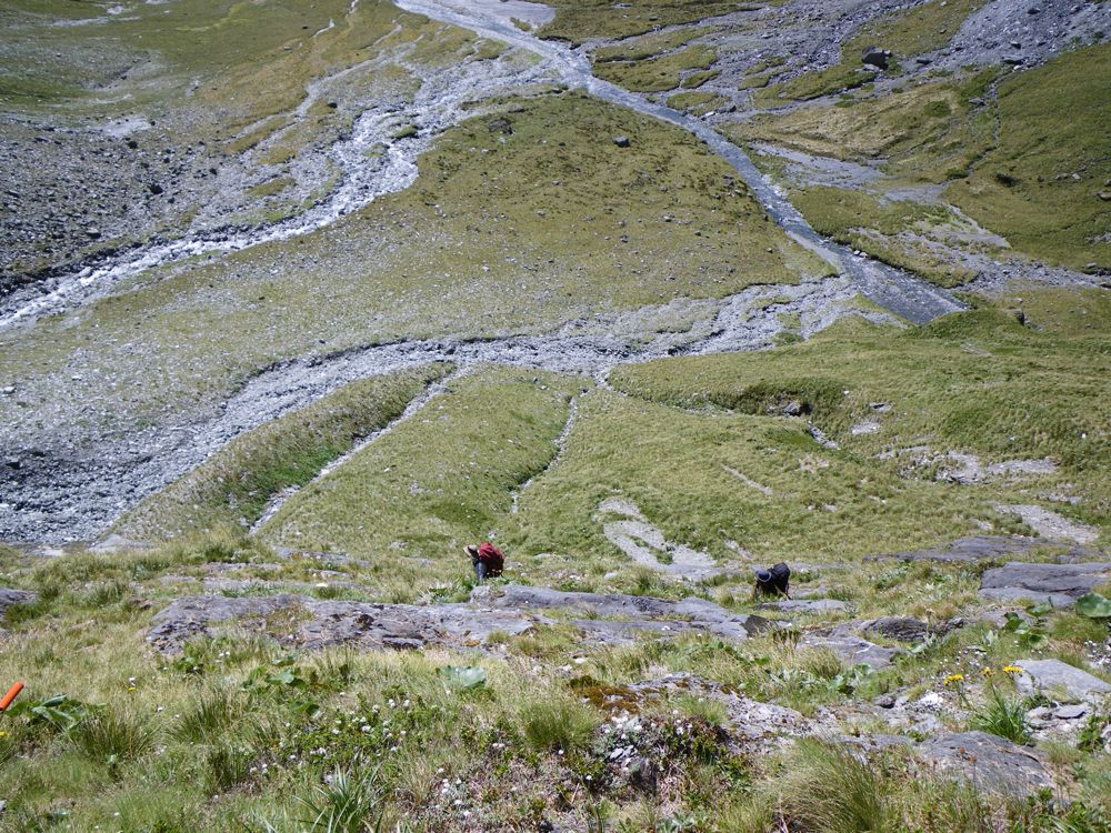
Above - Looking back down
Above - Chuin Nee on the last bit - John below further back
Above - John almost at the top of the waterfall face
Above - looking up. Pearson Saddle is on the right - we climbed up to
the saddle for a view and then returned to climb up the easy last
basins to the top of Rabbit Pass on the left.
Above - South Island Edelweiss (Leucogenus grandiceps)
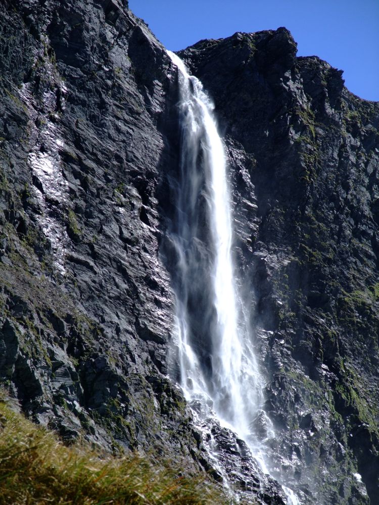
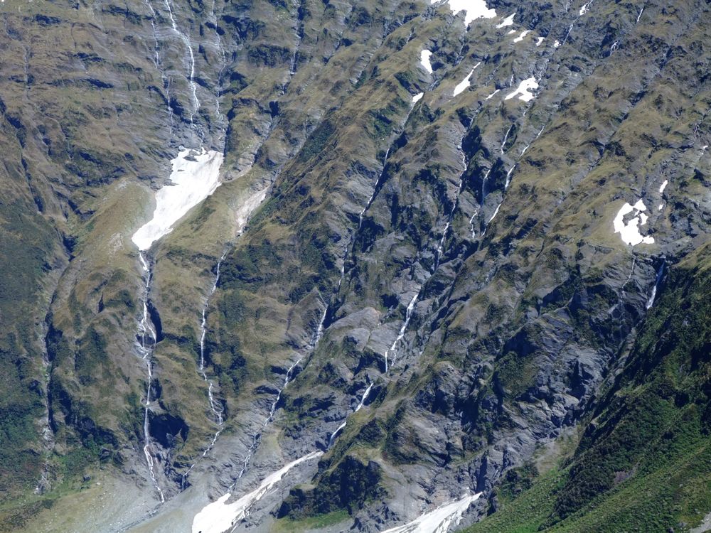
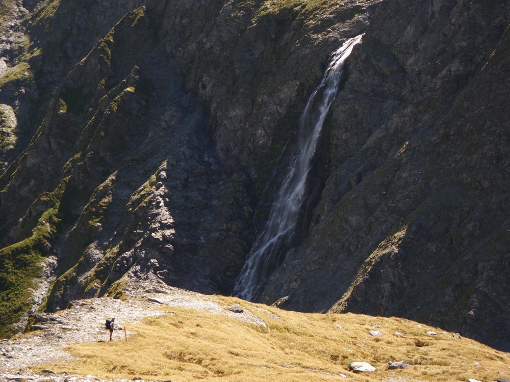
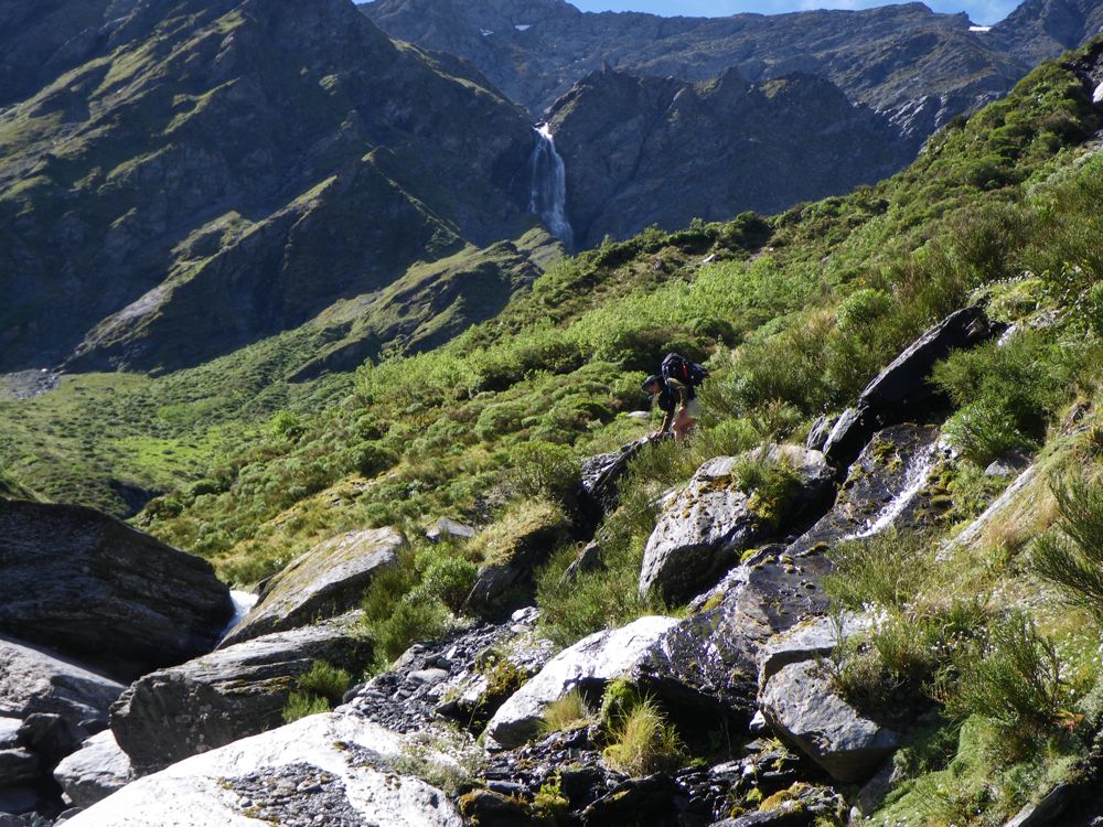
Above - Looking back at the side waterfall
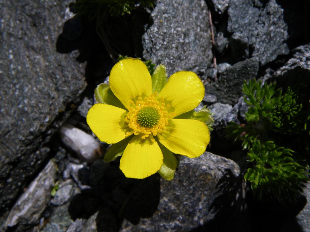
Above - Korikori (Ranunculus insignis)
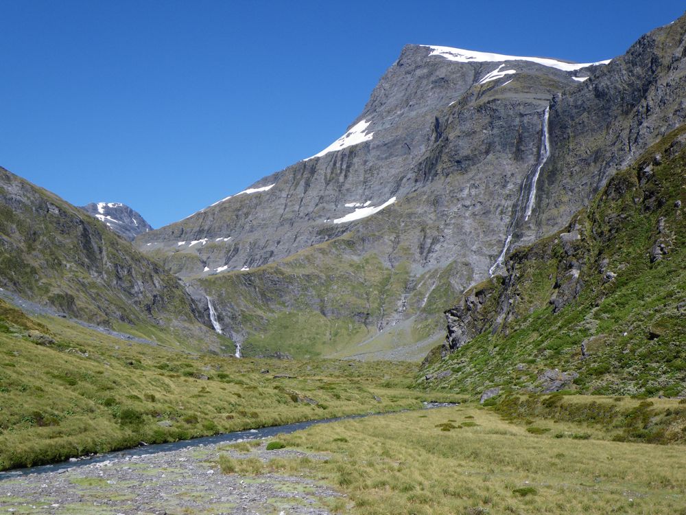
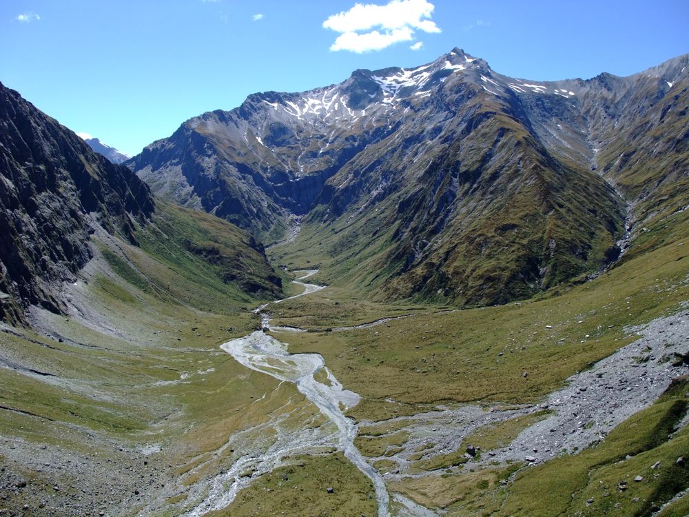
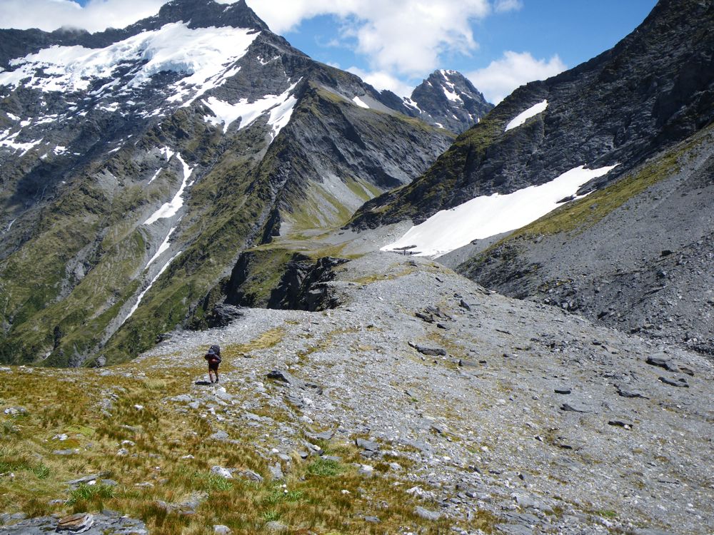
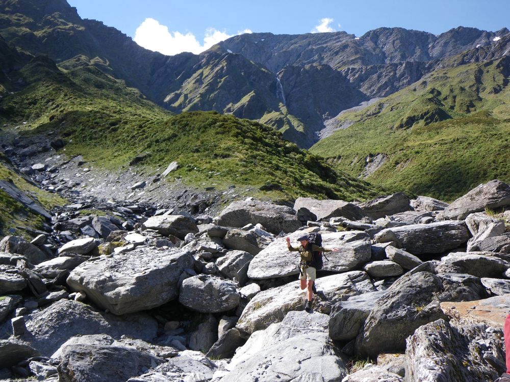
Above - heading up the valley
Above - view from Pearson Valley - looking down to west coast valleys
Above - more Mt Cook lilies
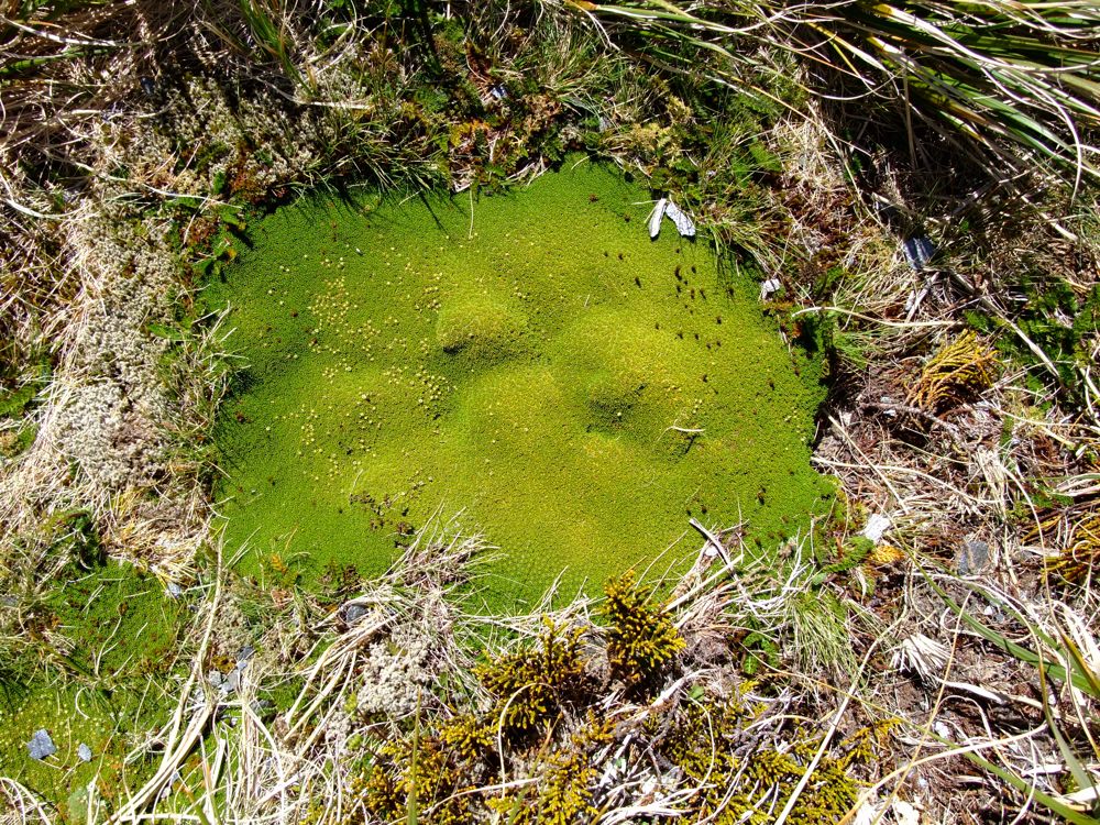
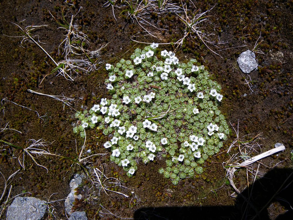
Above - a small cushion plant
Above - Chuin Nee on Pearson Saddle
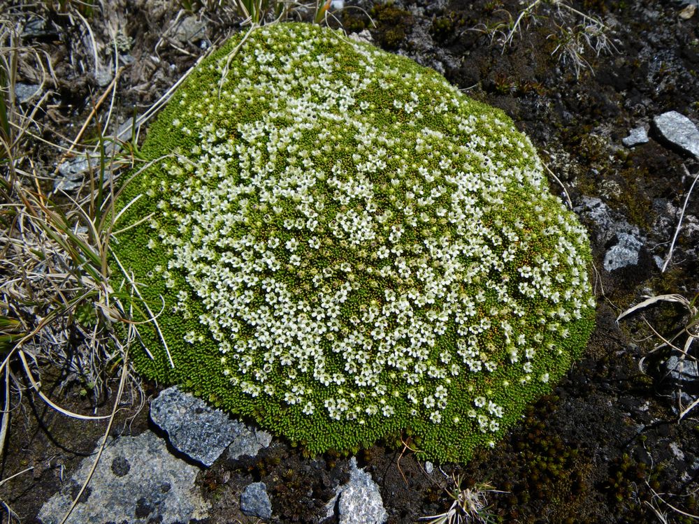
Possibly a type of vegetable sheep?
Above - Phyllachne colensoi
Above - John continuing up the South Branch to the top of the pass
Above -delightful country
Above - Rob and John at the top of the pass. Our route the was to the
left crossing the valley below the snow and up the sloping hills in the
middle of the photo.
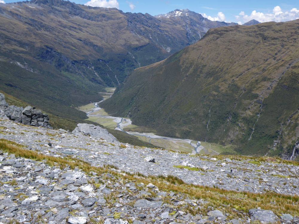
Above - looking down to the East Matukituki
Above - Euphrasia
Above - Chuin Nee photographing
Above - everlasting daisies
Above - Rob looking back down to the top of Rabbit Pass
Above - Rob, with the others a fair way back - just in front of the snow
Above - at this point - we descend steeply down on the left. John and Chuin Nee are on the right
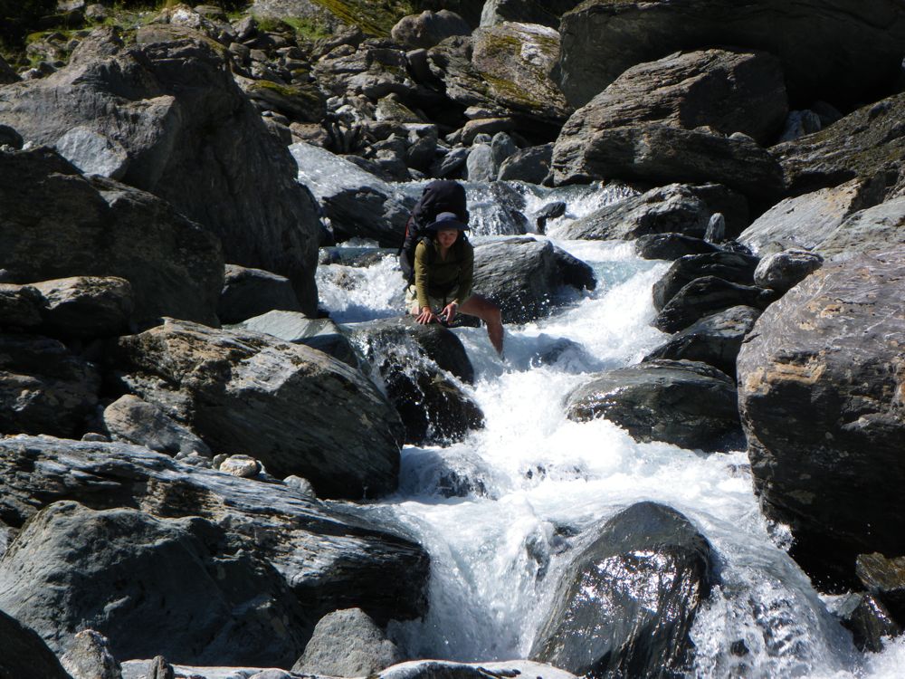
Above - streamlets
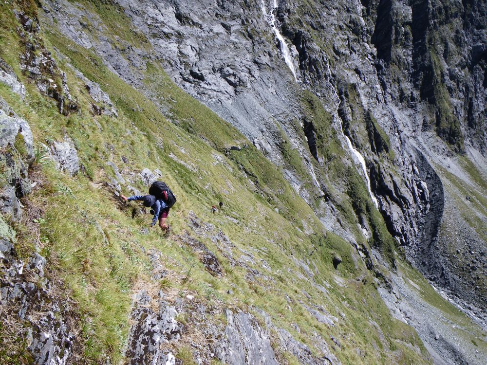
Above - John and Chuin Nee on this steep, exposed, unstable slope - the hardest part of the pass
Above - John - almost down to the easy bit
Above - Chuin Nee and John on the easy part of the descent
Above - more daisies tucked away in a sheltered crack
Above - we continue down
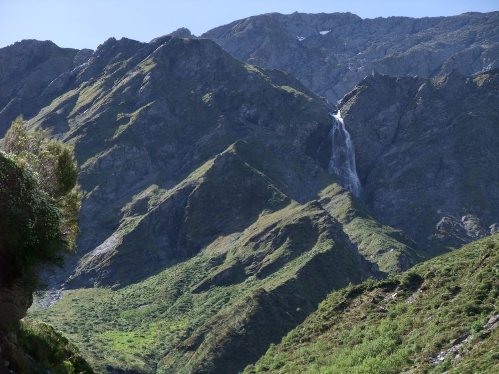
Above - Rob admired the waterfall near Rabbit Pass itself
Above - looking back. The steep nasty bit starts from the lowest point of the skyline above John and continues to the scree.
Above - more descent
Above - Chuin Nee with the waterfall above

Above - more boulders!
Above - Looking back - Rabbit Pass
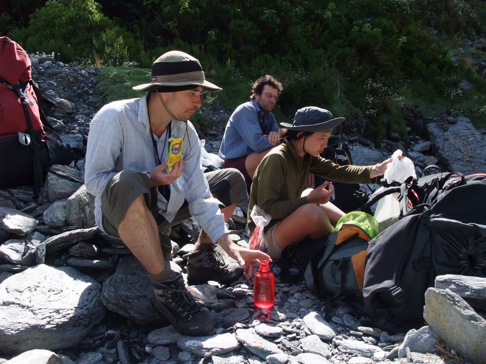
Above - we stop for a Raro break
Above - Chuin Nee enjoying more boulder fun
Above - almost down
Above - moguls?
Above - looking back
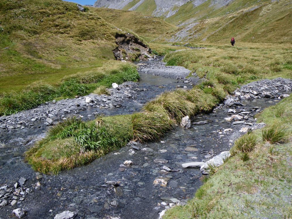
Above - Easy going on the flats
Above - continuing down
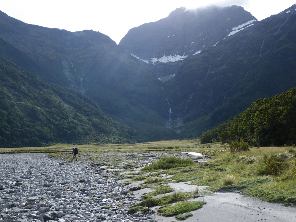
Above - Nice country - the East Matukituki
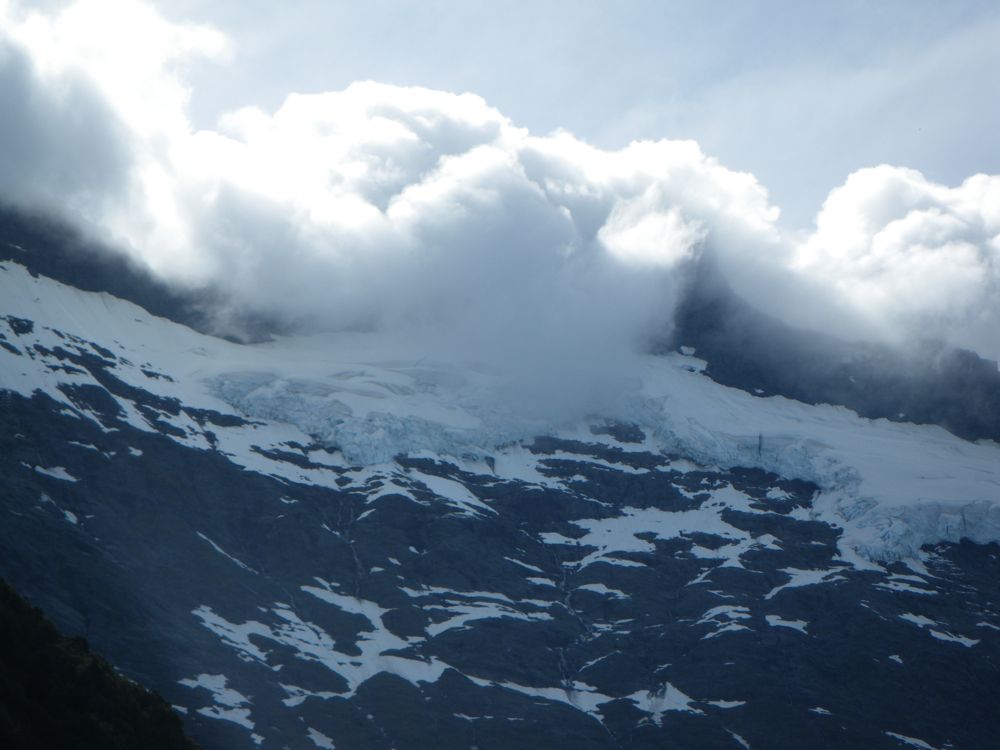
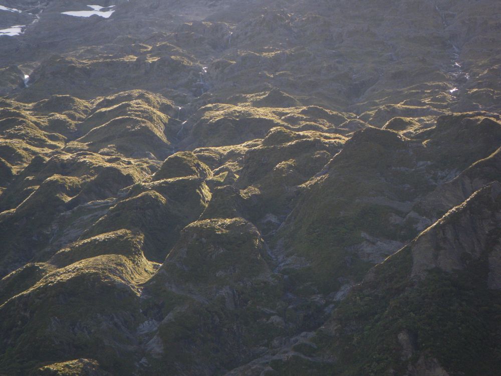
Above - something brewing in the hills?
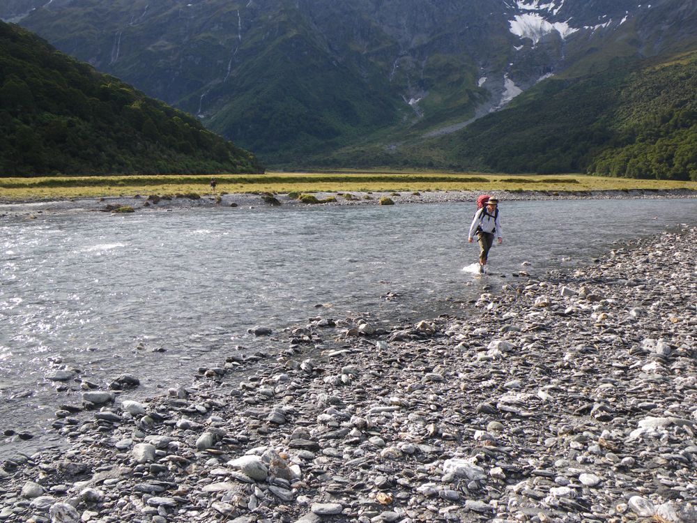
Above - We went via the open riverbed whilst Rob tackled the scrubby bank above
Above - at Ruth Flat
Above - a final crossing of the river to find a campsite
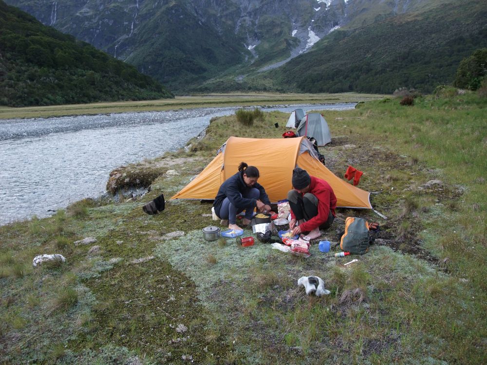
Above - Chuin Nee cooking up another tasty meal
Continue of to our last day - Day 9 - above Bledisloe Gorge to the end of the valley
Return to Wilkin Menu
Return to New Zealand January 2009 Menu
Return to david-noble.net