Traverse of the Western and Eastern Arthur Range - January 1999
All images © David Noble. No image can be used for any purpose.
Page 2 - High Moor to Federation Peak
Page 1 - Features photos from Mt Hesperus
to Lake Oberon
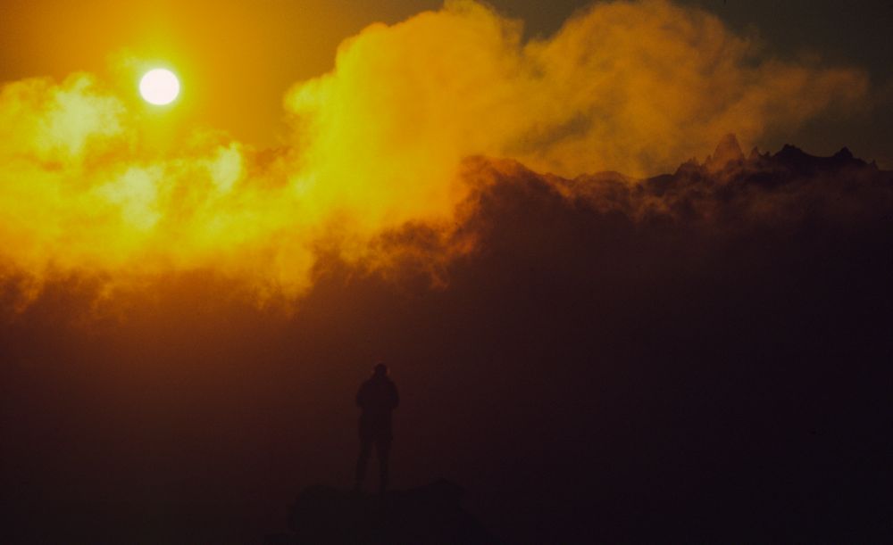
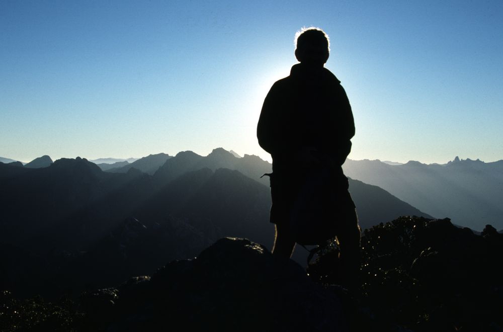
Day 4 - I again got up early - and climbed Mt Columba in time for the
sunrise. Some other walkers joined me.


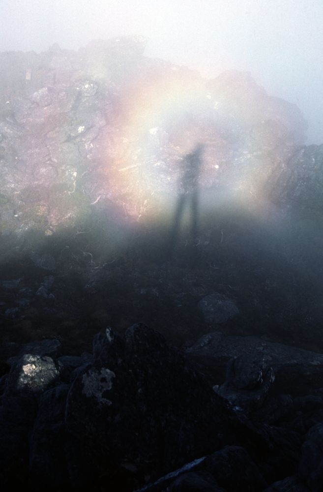
Above - When you get mist and a low sun - you often get a brokenspecre.
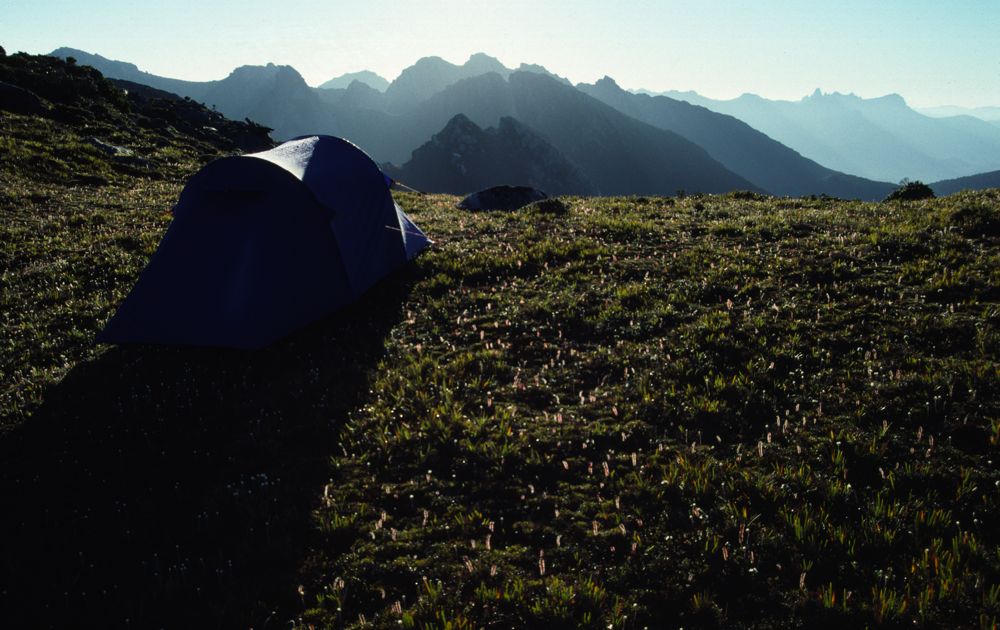
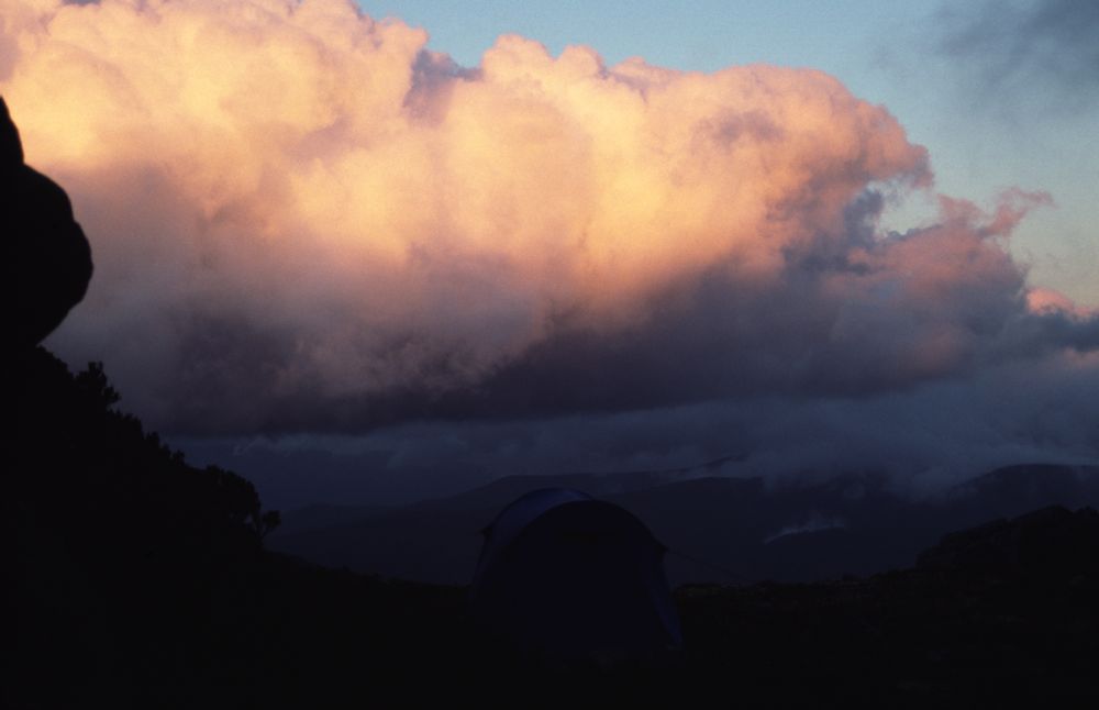
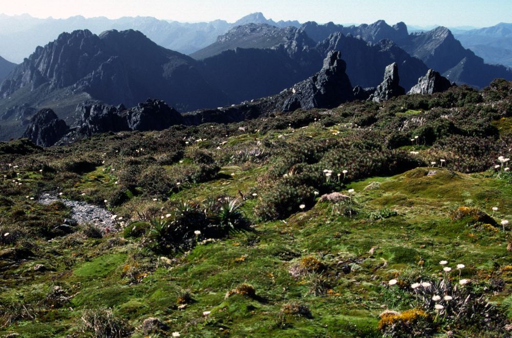
Above - I camped on this high part of High Moor - it offered
outstanding views of Federation Peak right out of the tent door.

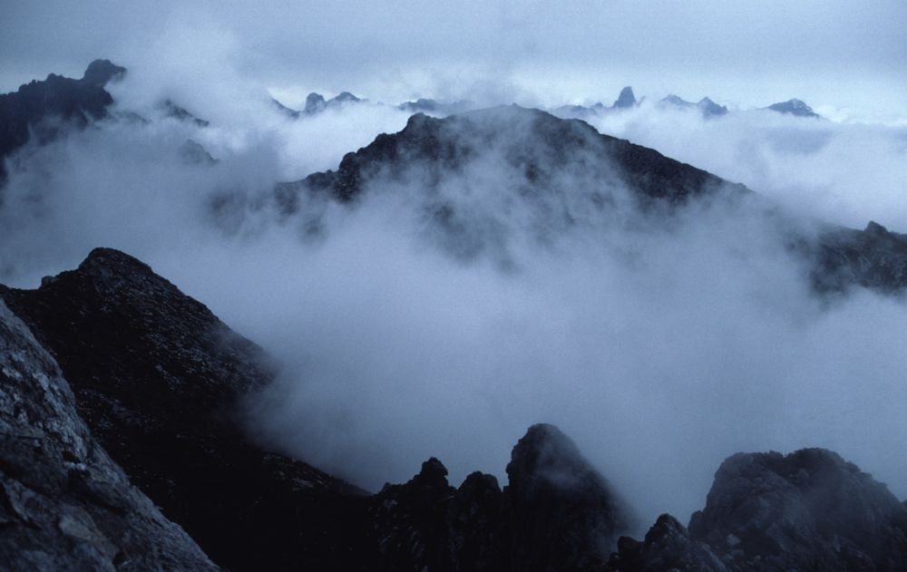
Above - Some other walkers stroll past just a sbig mist rolls in.
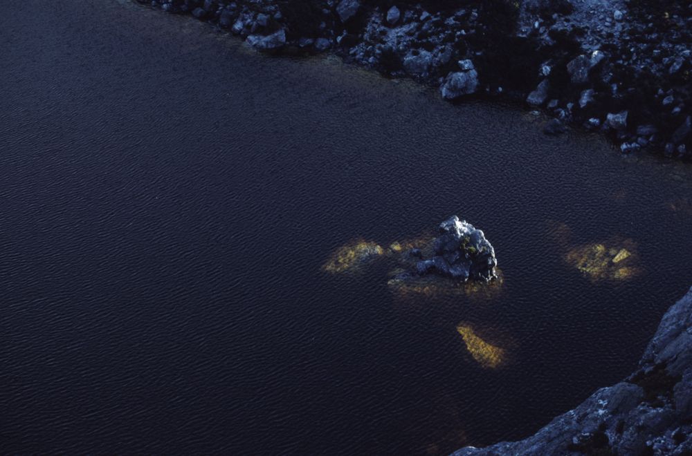
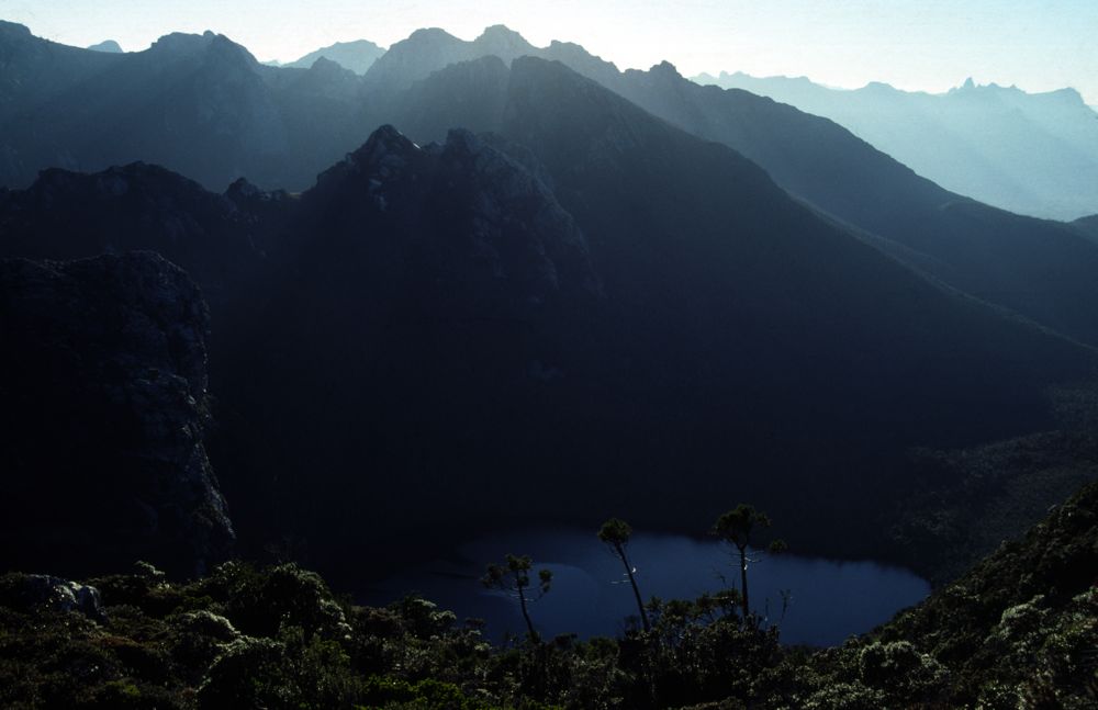
Above - Lake Cirona. I camped nearby. This is a beatiful spot and a
place I had never camped at before.
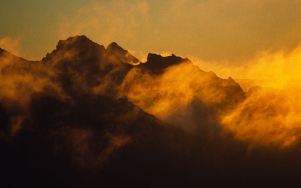
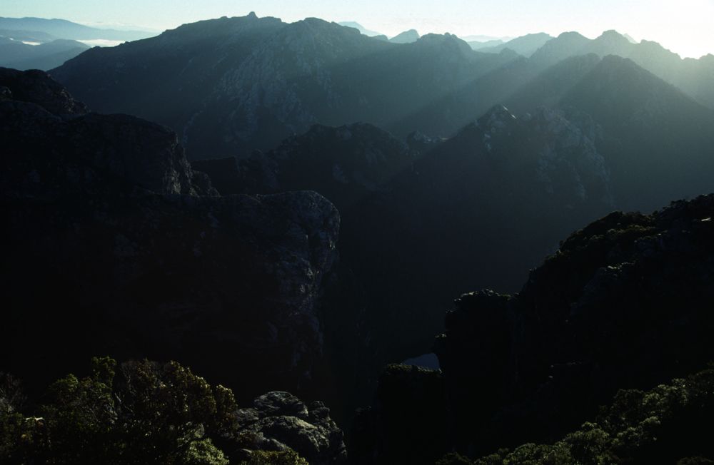
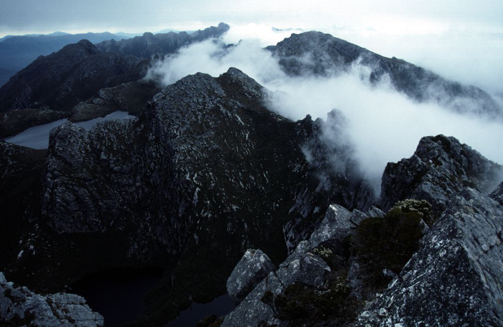
Above - Looking back towards Mt Shaula and High Moor on the left

Day 5 - I had a lay day at Lake Cirona - bad weather
Day 6 - Bad weather. I did a short walk to a more sheltered campsite at
Promontory Lake and spent the afternoon sitting out bad weather.
Above - Prom Lake is just visible on the left
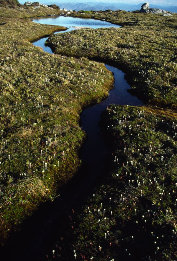
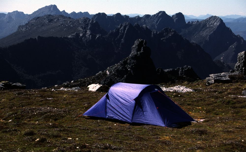
Day 7 - A long days walk to Pass Creek and then a steep climb up
Luckmans Lead - to camp on the top. A place I had camped before and I
knew offered great views. A small saok nearby provided water.
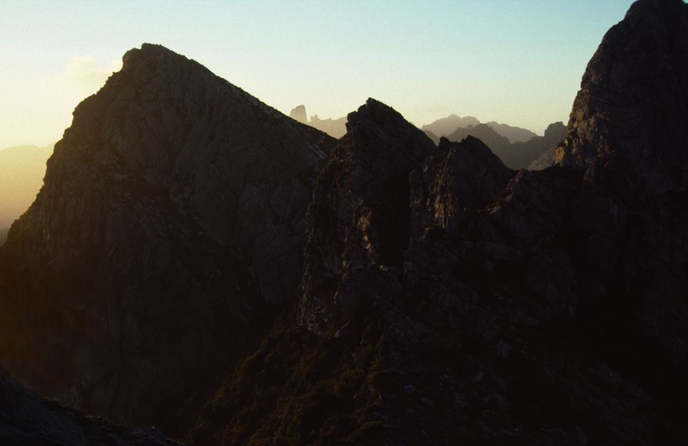
Above - Dusk
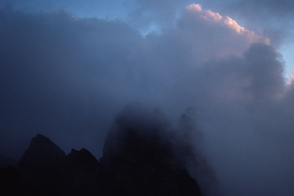
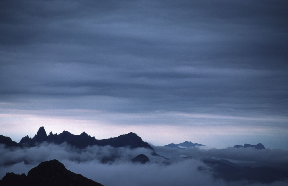
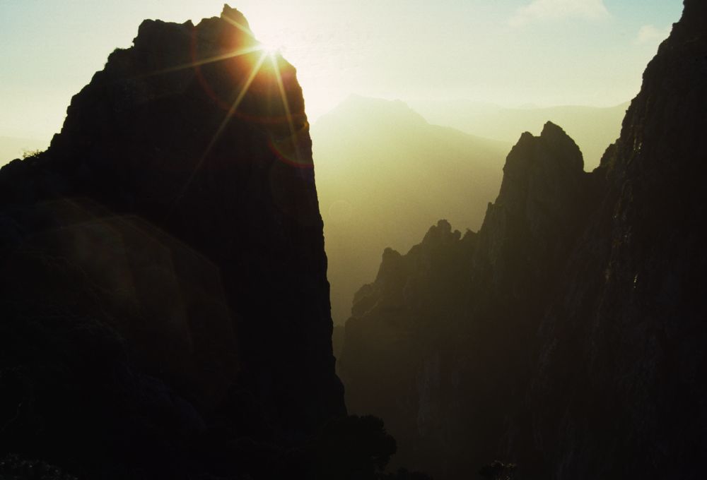
Above - In the evening - a sea mist rolls in over the Needles
Day 8 - Another fine day. I climb the rest of the range and ascend
Federation Peak.
Above - Dawn from my campsite
Above - My goal - Federation Peak is just visible behind the Dial


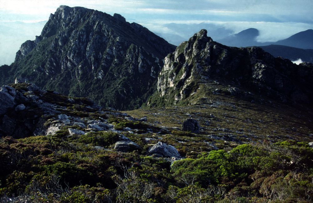
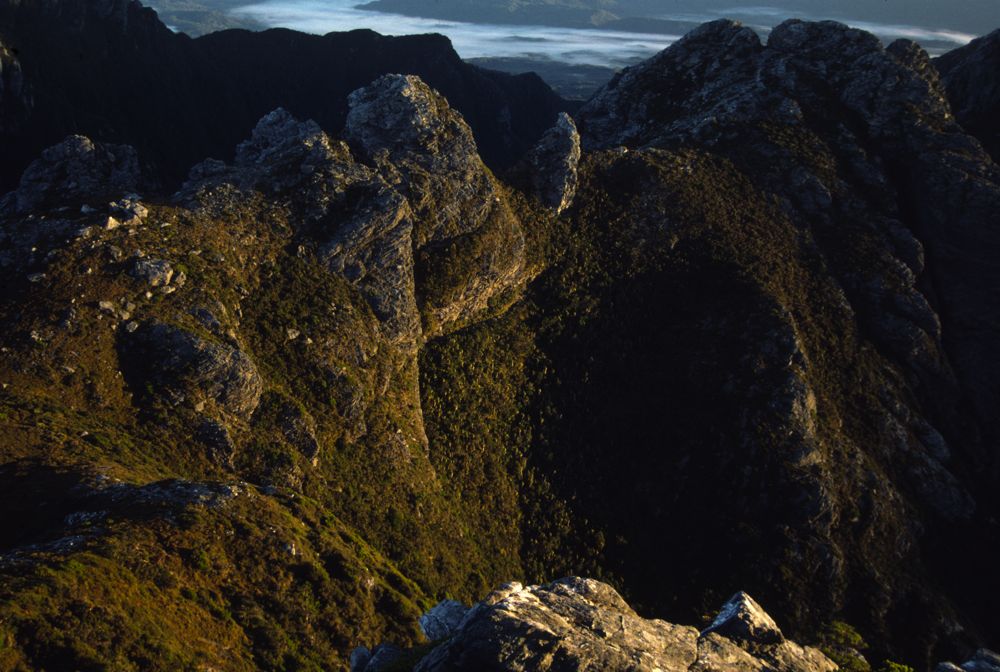
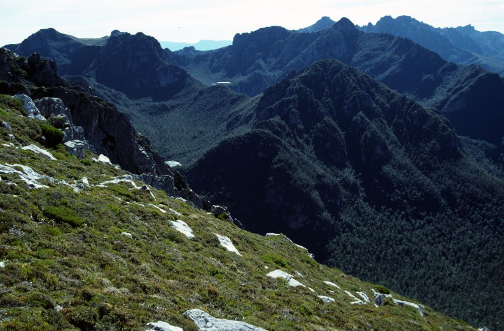
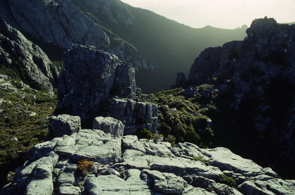
Above - Looking back down the Eastern Arthur Range from the top of
Thwaites Plateau
Above - With fine stable weather - I camped at the top of Thwaites
Plateau


Above - Looking back down the range
Day 9 - Back down the Eastern Arthurs to camp at Craycroft Crossing
Day 10 - Back along the Arthur Plains to Huon Camp
Day 11 - Bus back to Hobart
Return to david-noble.net