Norold Range - Old River - Eastern Arthur Range - January 1987
All images © David Noble. No image can be used for any purpose
without permission
Party - Tony Norman, Dave Noble
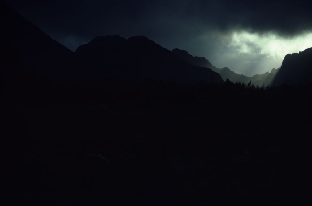
Above - On the first day we walked from Scotts Peak Dam to Seven Mile
Creek on the Arthur Plains. We then spent two days there sitting out
bad weather.

Above - Tony (Norm) on Moraine K in fine weather
Above - Haven Lake looked attractive while we had lunch above it. We
did not go down to the lake. Our route lay over MT Alderbarren and then
onto an un-named peak above the North River. That night we camped on
the un-named peak (we called it Mt Poindexter). It was scrubby getting
onto and off this peak.
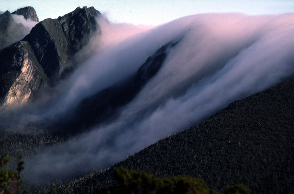
Above - Morning mist pouring over the Western Arthur Range

That day - we descended through some interesting scrub to the North
River and then climbed up an open spur onto the Norold Range to camp.

Above - Easy open going on the Norold Range. After camping on top - we
spent the next day climbing all the peaks and then descended to the Old
River.
We had at least one more stormbound day on the Old River before we
could continue to the base of Gorilla Ridge

Above - Norm in the tent cooking near Mosquito Creek at the base of
Gorilla Ridge.
We found Gorilla Ridge an easy climb compared to the walking we had
already done. We reached Geeves Bluff in the mid afternoon.

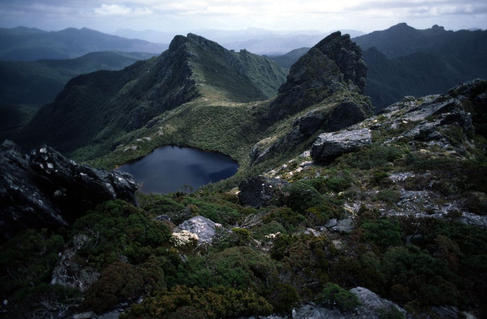
Above - Hanging Lake and Federation Peak on the right from the top of
Gorilla Ridge

Above - Tents at Hanging Lake
We knew from radio weather forecasts that more bad weather was on the
way - so we climbed Federation Peak later that afternoon. This was good
to do - as the weather the next day was very bad - and we retreated off
the Eastern Arthur Range to Pass Creek.

Above - On the way to climb Federation Peak
After heading back to civilisation - Norm headed home. I had a bit more
time so did a light-weight solo traverse of
part of the Western Arthur
Range.
Return to david-noble.net