Tasmania - The Overland Track - 14 - 27 April 2014
All images © David Noble. No image can be used for any purpose
without permission.
Pelion - Pelion Gap (16 - 17 April)
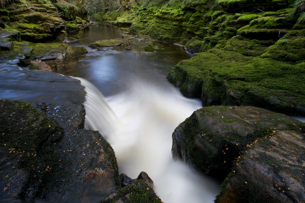
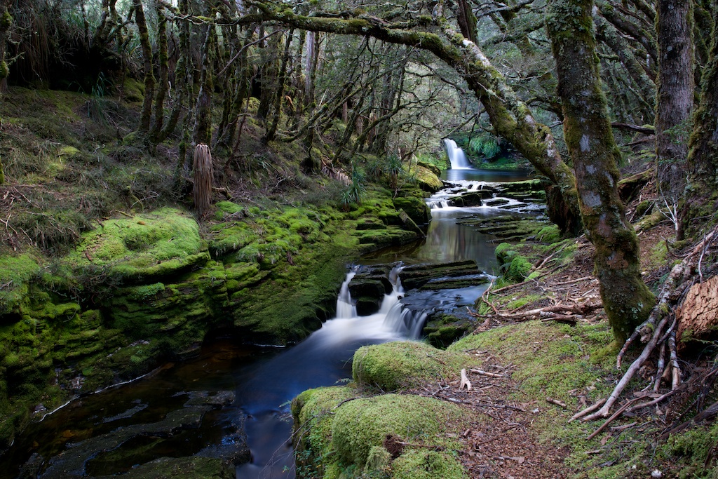
Above - Douglas Creek behind the Ranger's Hut
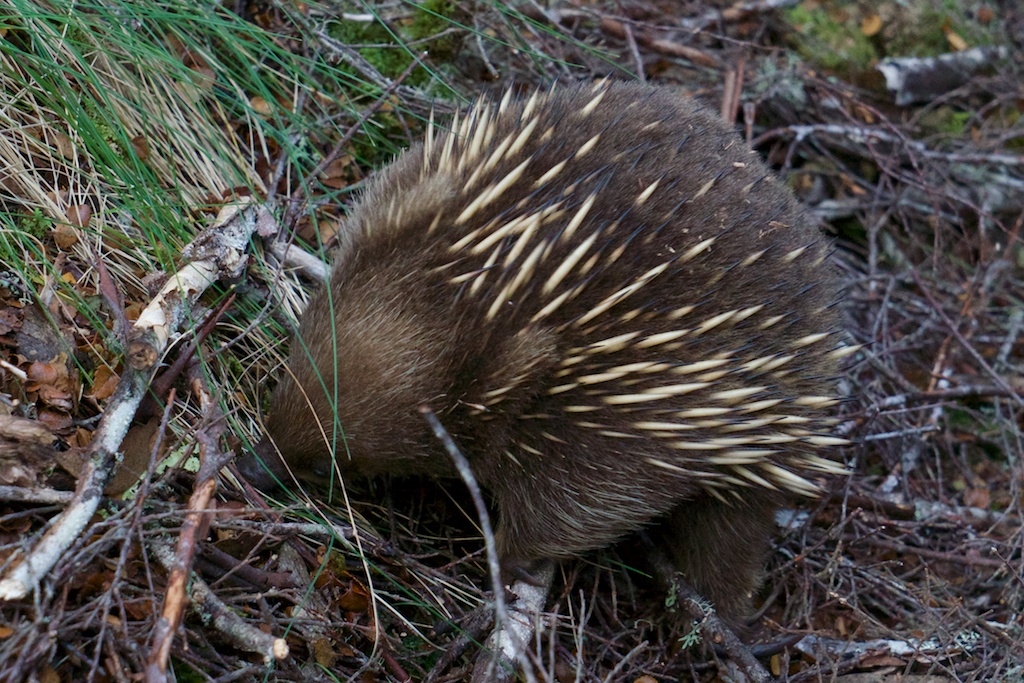
Above - Lurking in the bushes was an echidna (Tachyglossus
aculeatus)
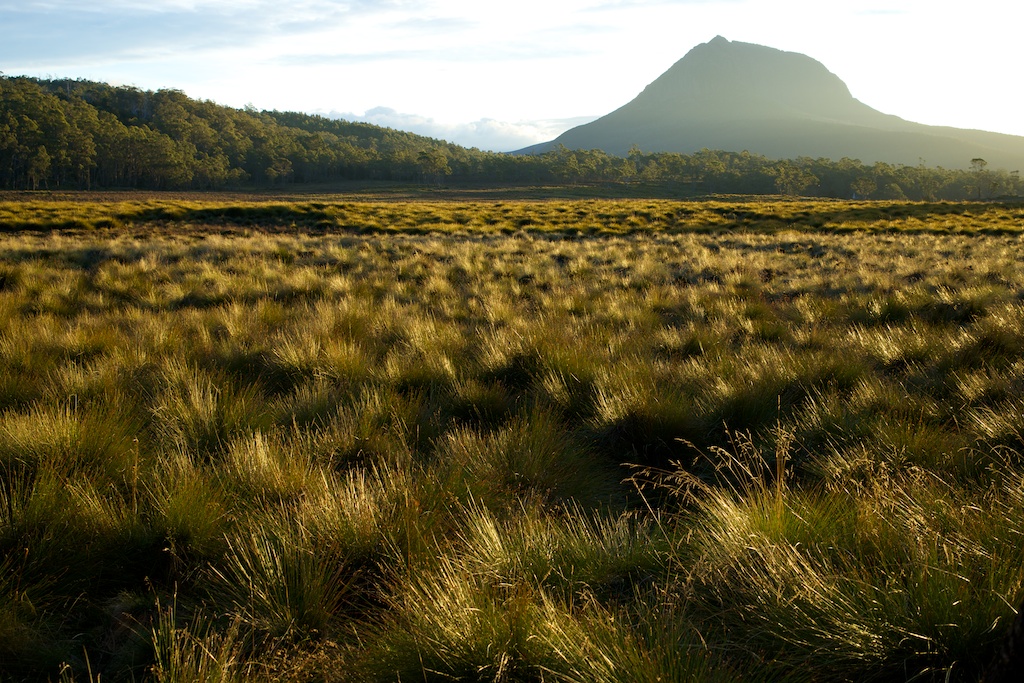
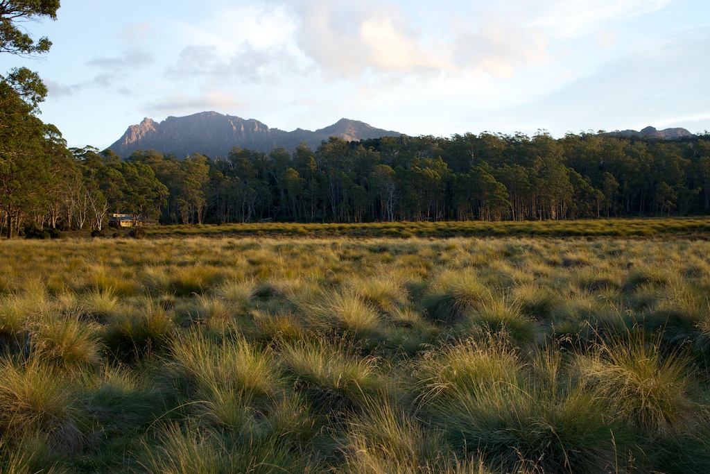
Above - Pelion West
Above - Mt Oakleigh
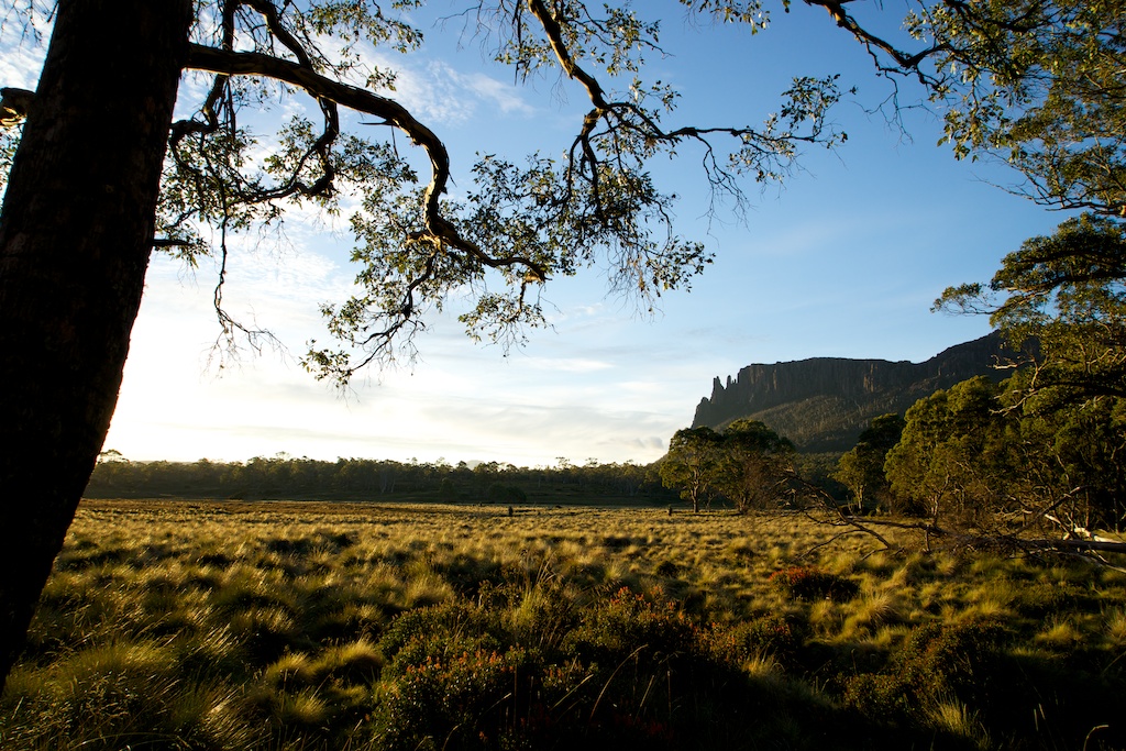
Above - Mt Ossa and Pelion Hut
Above - Mt Oakleigh (and Cradle Mountain just visible)
Above - Next morning

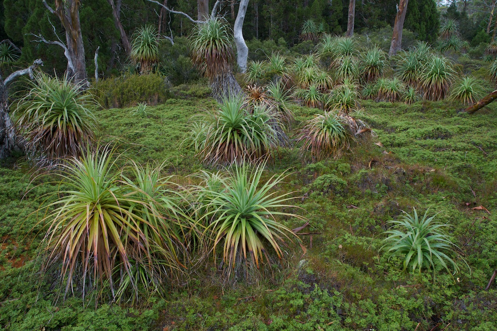
Above - Pandanis (Richea pandanifolia)
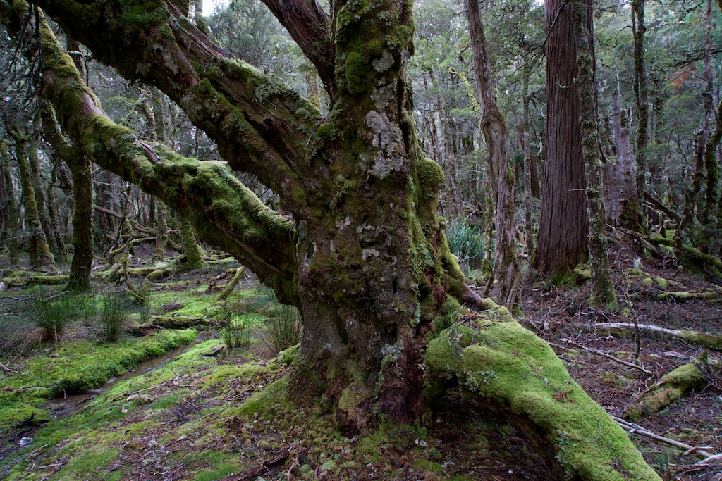
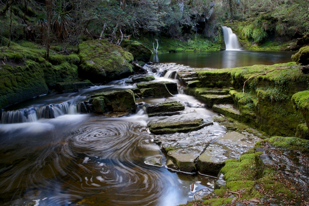
Above - nice forest on the way to Pelion Gap
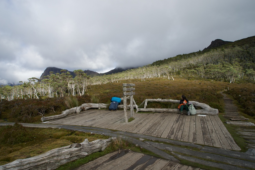
Above - the platform at Pelion Gap (which is often used to feed to
local currawongs....)
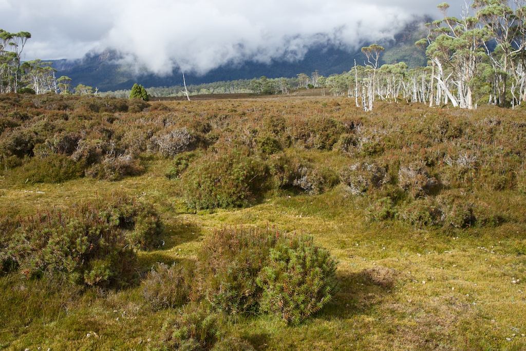
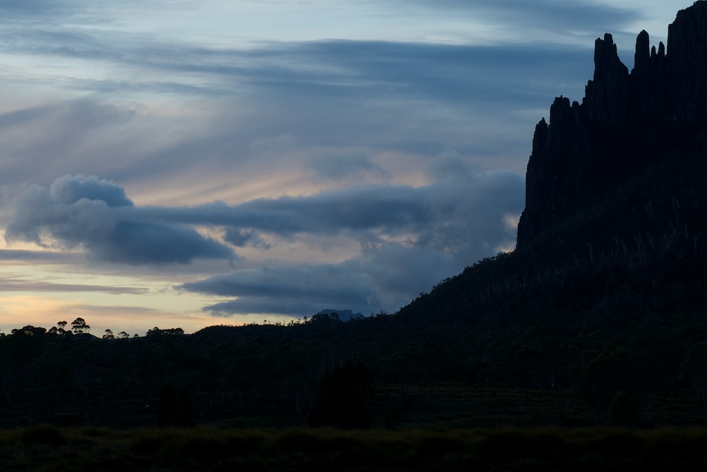
Above - Its still a bit misty - will it be OK on top of Mt Ossa?
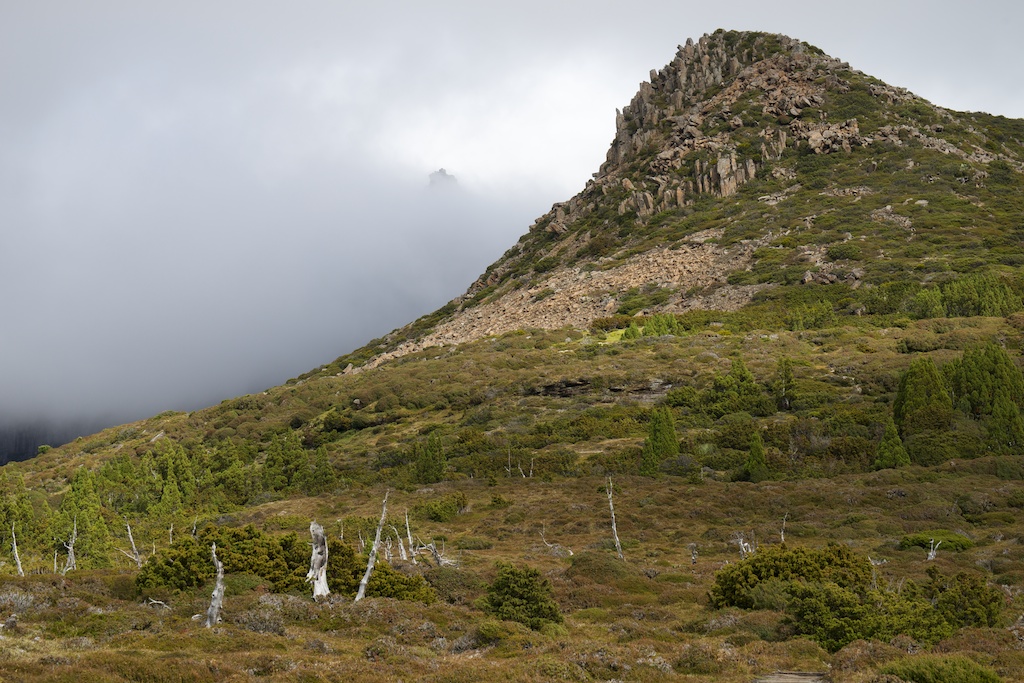
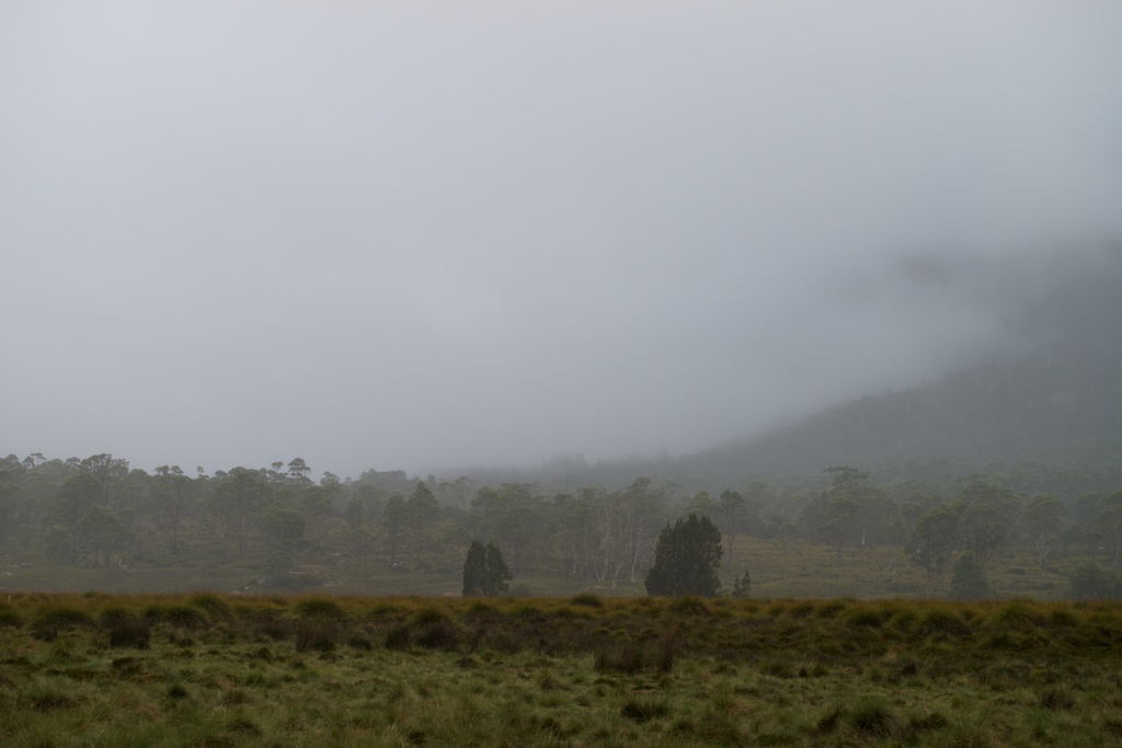
Above - Mt Ossa (in the mist) and nearby Mt Doris
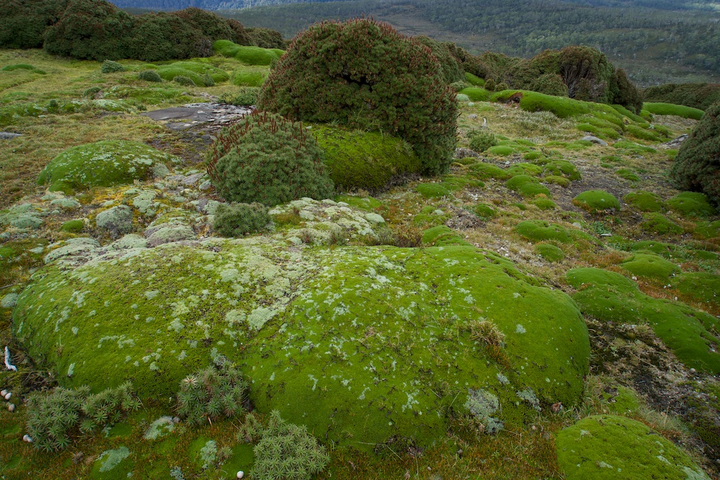
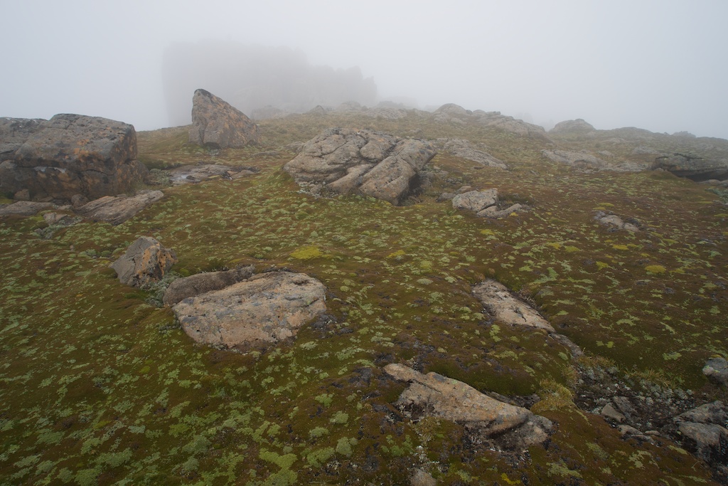
Above - cushion plants

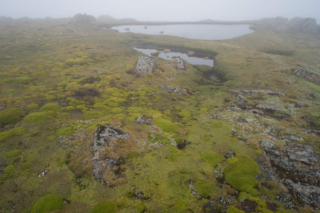
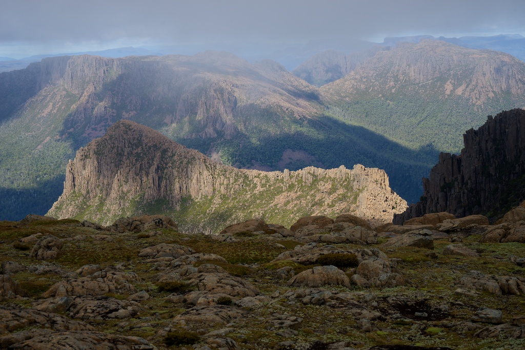
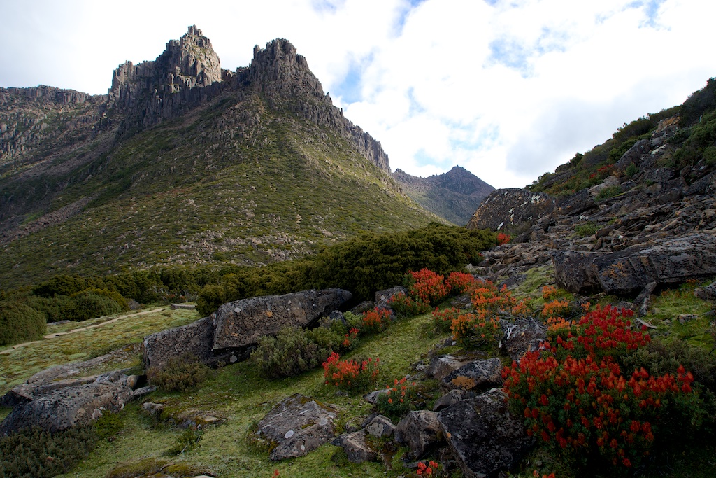
Above - Pinestone Valley and peaks of the Du Cane Range

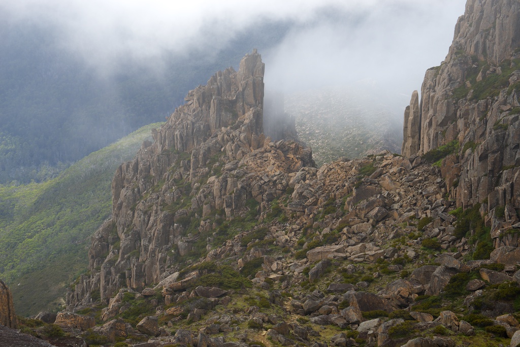
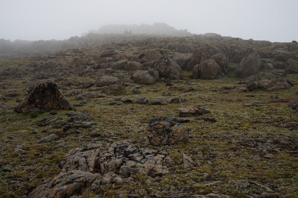
Above - Looking up at Mt Ossa (somewhere up there....)
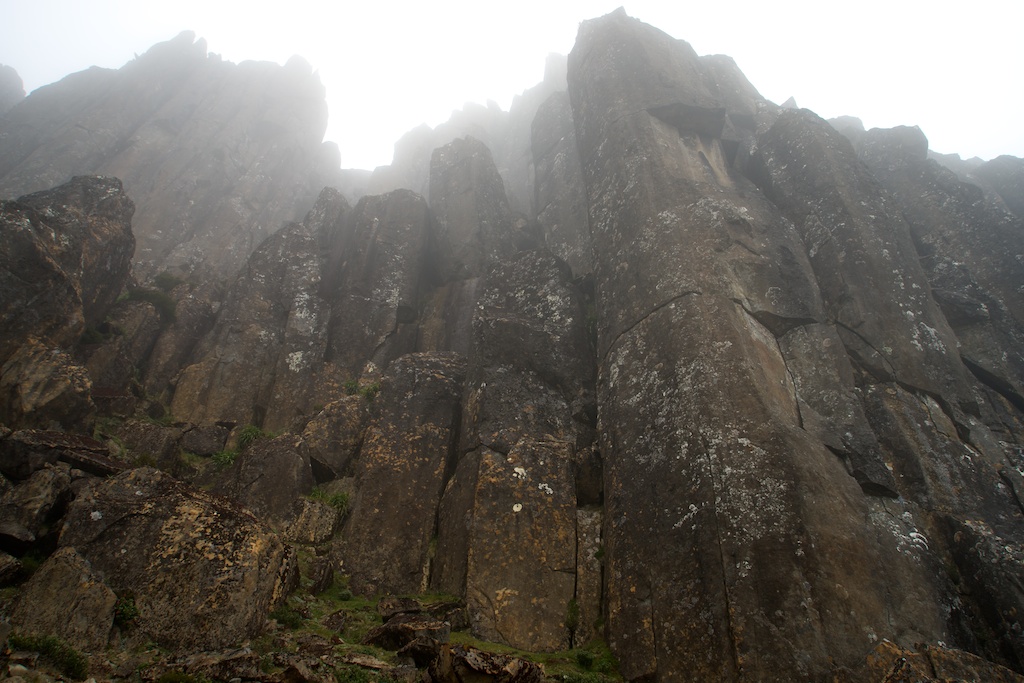
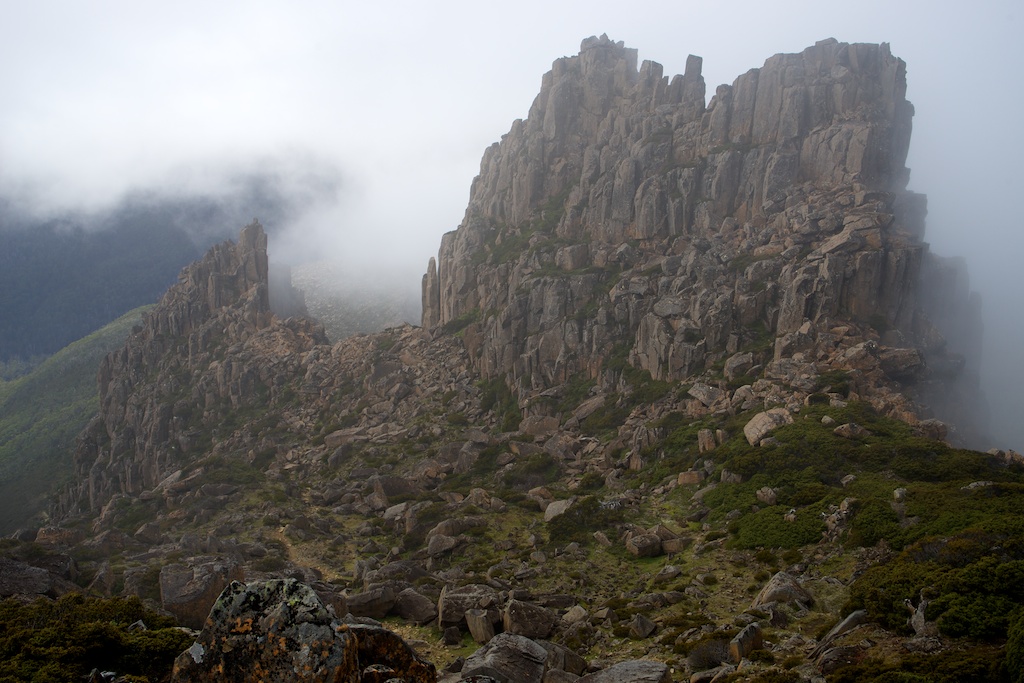
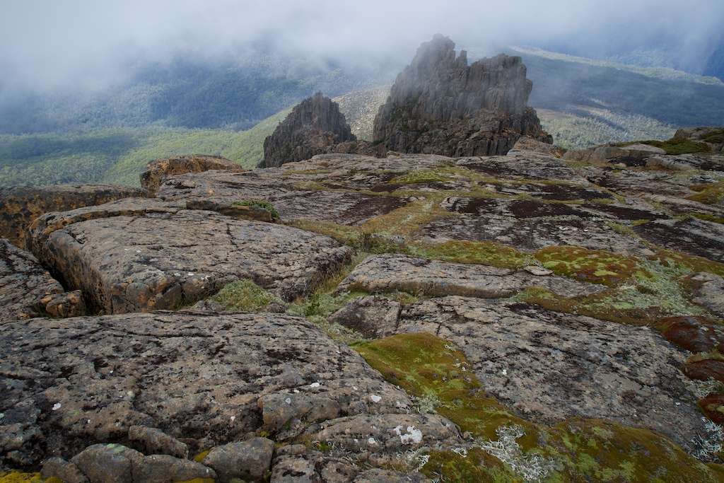
Above - Dolerite columns

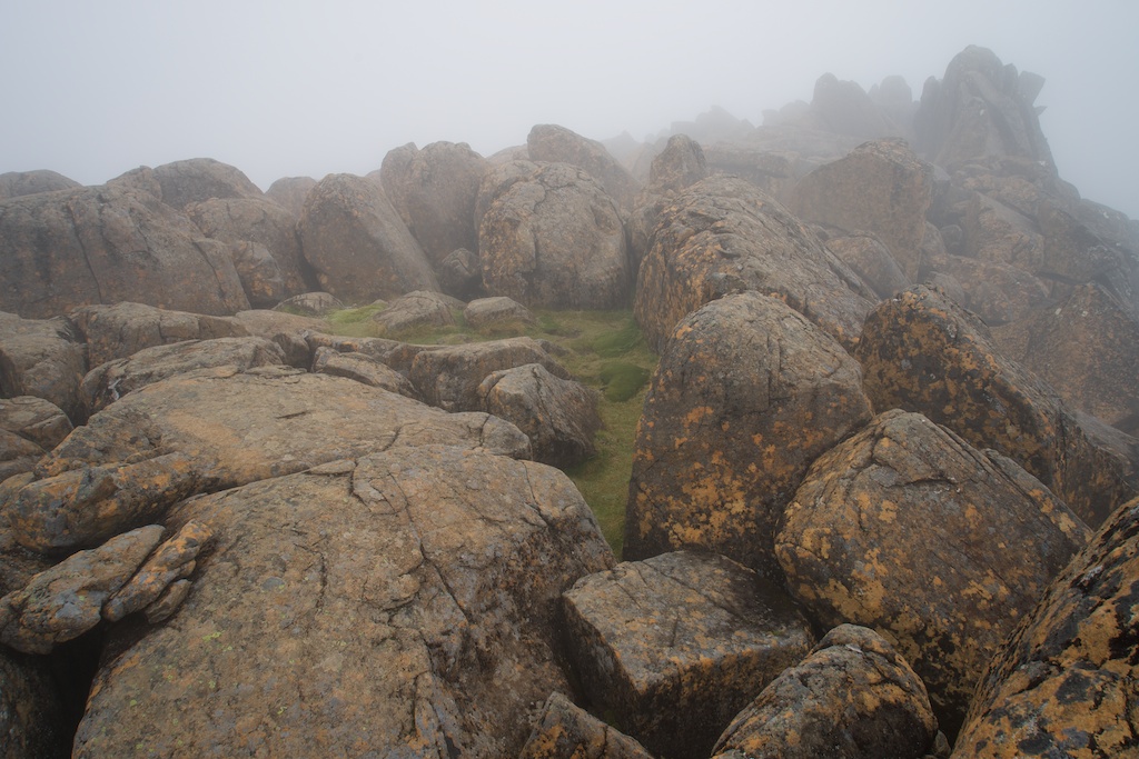
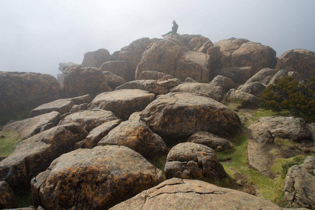
Above - on the summit of Mt Ossa
Above - A mosaic of cushion plants
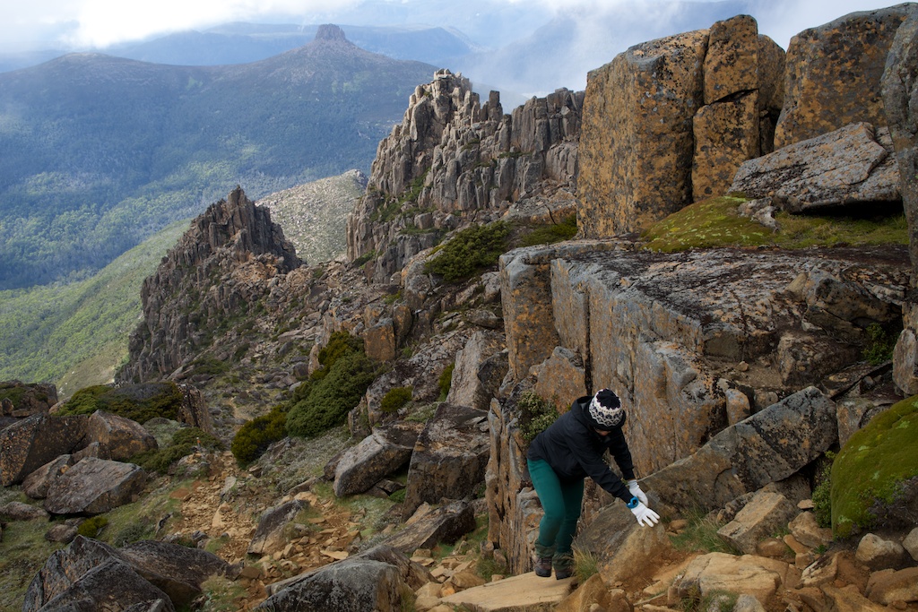
Above - Looking back down the ascent route (a good track)
Above - the mist was clearing so I waited
Above - Honey joined me on top
Above - Honey in the distance going for the summit
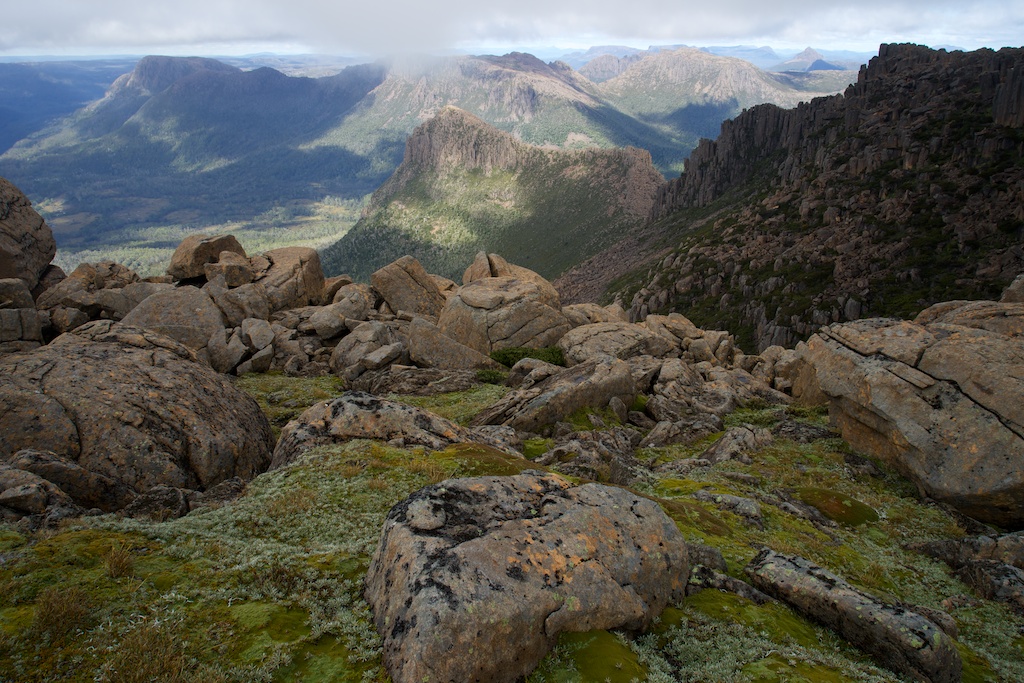
Above - the Du Cane Range to the south - now out of the mist

Above - Honey on the summit

Above - Honey on the summit
Above - On the way down - looking back at Mt Ossa from the side of
Mt Doris
Continue to Page 5
Return to Menu Page
Return to david-noble.net