Western Arthurs Traverse - South West Tasmania - January 1992
All images © David Noble. No image an be used for any purpose
without permission.
Page 1
Party - Michael "Ted" Maack, Rob Hynes, Dave Noble
We had originally intended to do a full traverse of the Arthur Range
finishing at Federation Peak - but we had a lot of bad weather on the
Western Arthurs and when were reached Pass Creek at the base of the
Eastern Arthurs - more bad weather was forecast. So we bailed out early
and spent a few days at Mt Field National Park.

Above - Junction Creek - fairly high
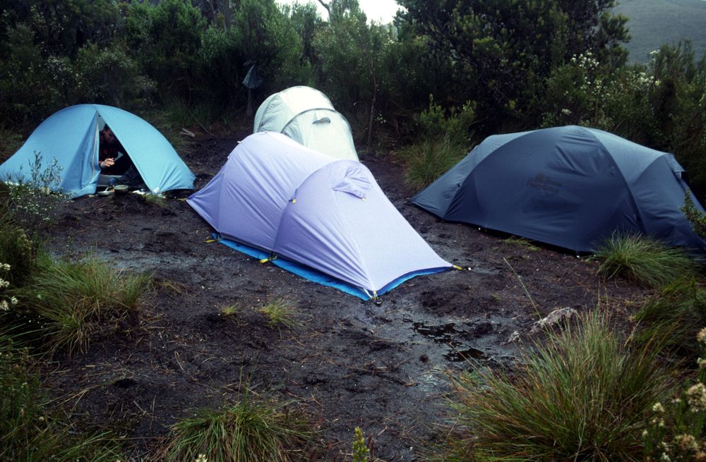
Above - Our campsite at the bottom of Moraine A. We waited here a few
days for the weather to improve. Other parties were waiting too.
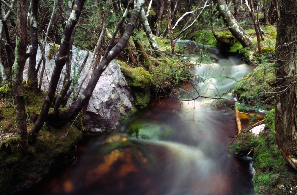
Above - small creek nearby

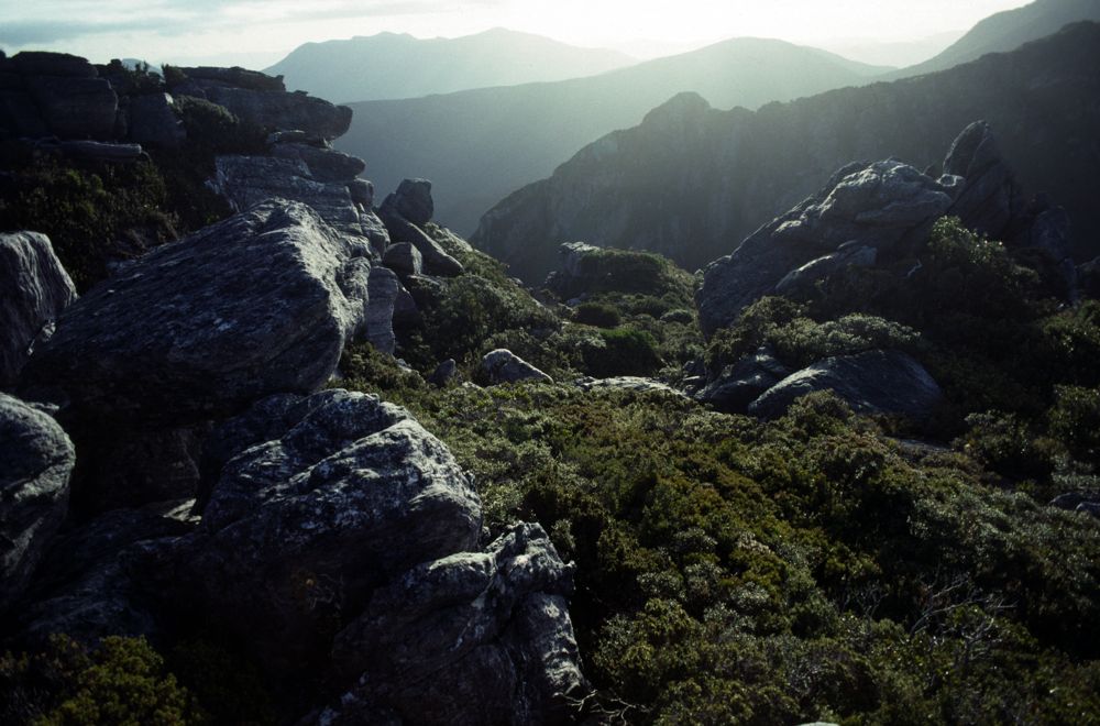
Above - small crags on top of Moraine A

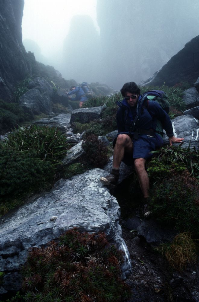
Above - Rob and Ted climbing Mt Hesperus

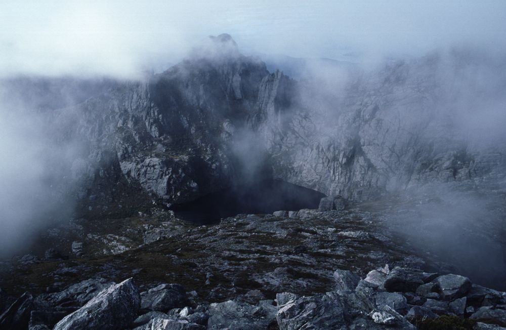
Above - Detail - Lake Cygnus
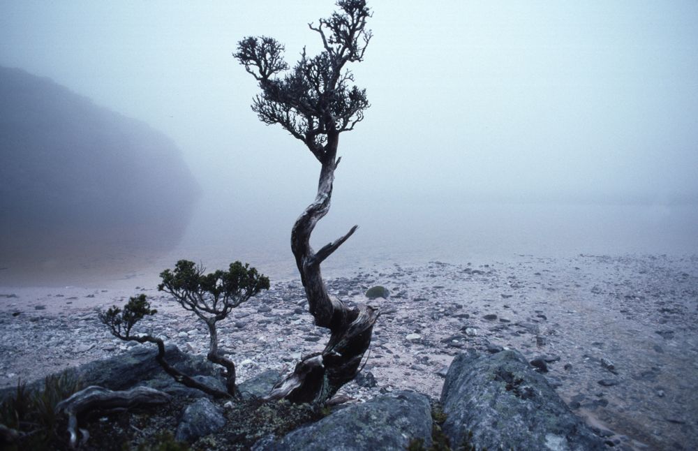
Above - Lake Cygus

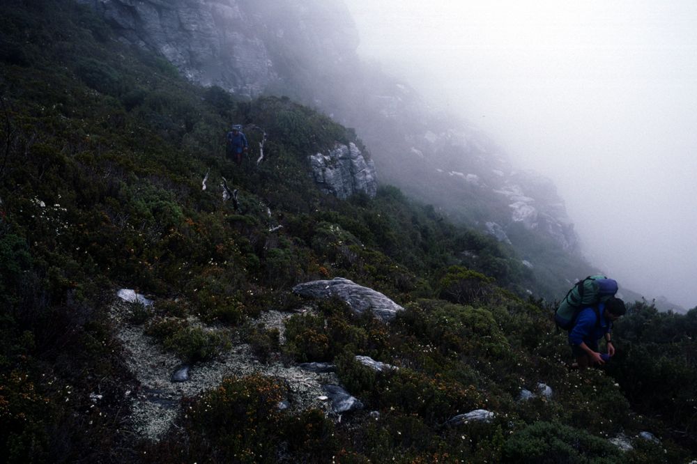
Above - Ted traversing near Mt Hayes
Above - Rob and Ted descending near Mt Hayes
Above - traversing towards Square Lake
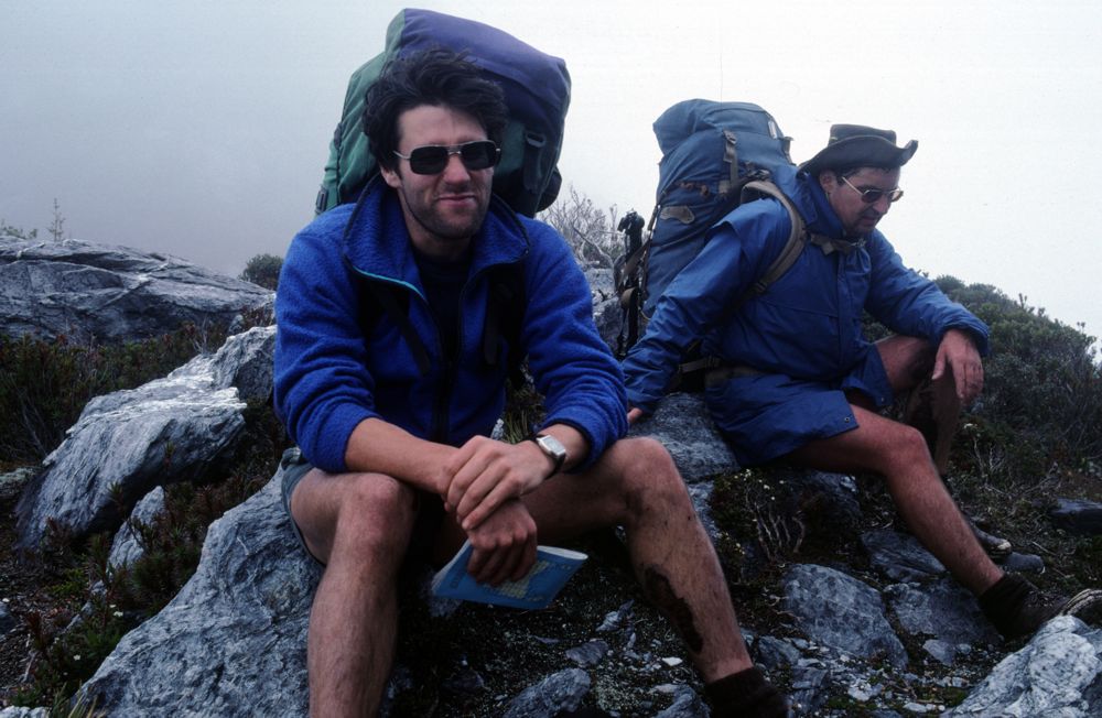
Above - Rob and Ted resting

Above - Our first campsite in the range at Square Lake

Above - Rob leaving Square Lake to climb Mt Sirius in the late afternoon

Above - Mt Hayes from Mt Sirius
Above - Square Lake

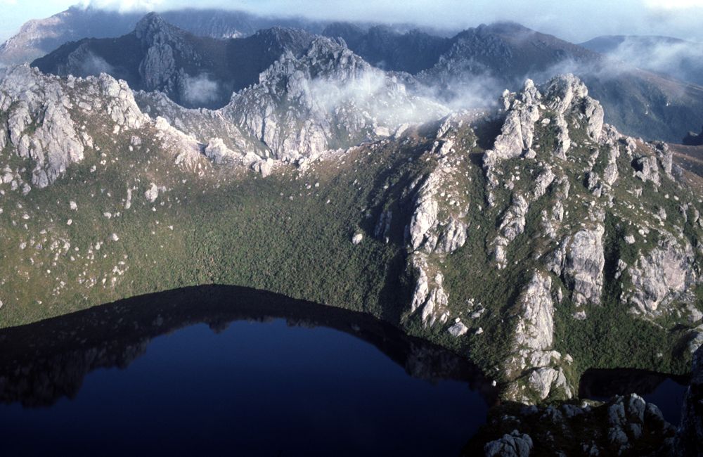
Above - Mt Procyon and Mt Orion with Square Lake below
Above - Looking along the rest of the Western Arthurs from Mt Sirius

Above - Looking along the rest of the Western Arthurs from Mt Sirius
Above - Dusk near Square Lake
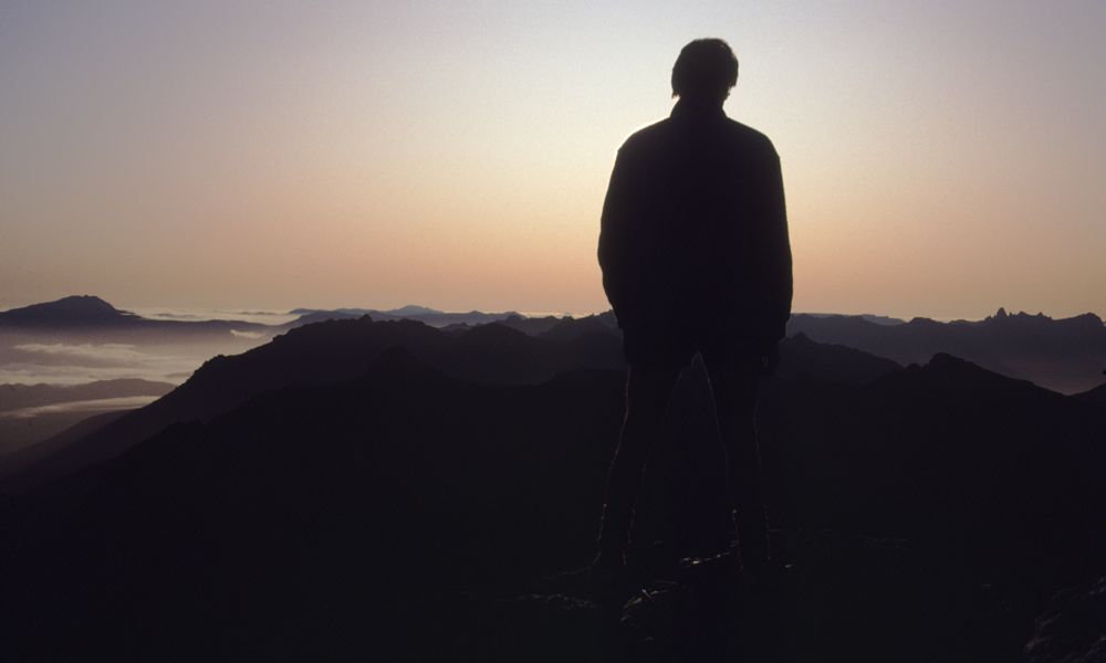
Above - dawn from Mt Sirius
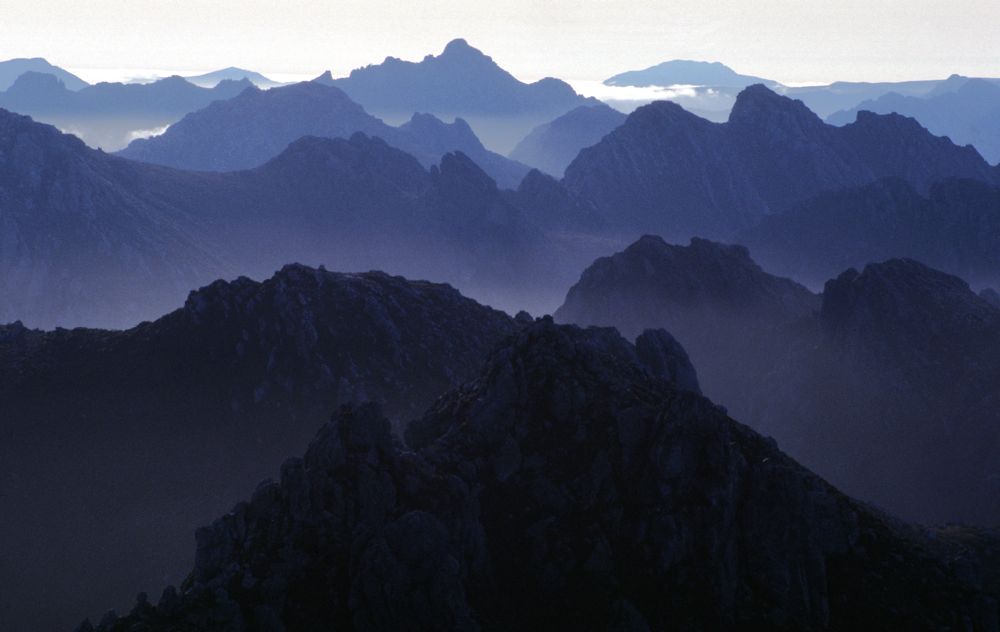
Above - The Western Arthur Range
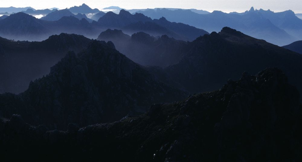
Above - The Western Arthur and Eastern Arthur Ranges

Above - The Western Arthur Range

Above - Lake Oberon

Above - Ted with his video camera on Mt Sirius
Continue to Page 2 - Lake Oberon - High
Moor - West Portal and the Crags of Andromeda
Return to david-noble.net