Mittagong to Katoomba Walk - 3 - 9 July 2011
All images © David Noble. No image can be used for any purpose
without permission.
Page 1 - Nattai River - Beloon Pass - Wollondilly River
Day 1
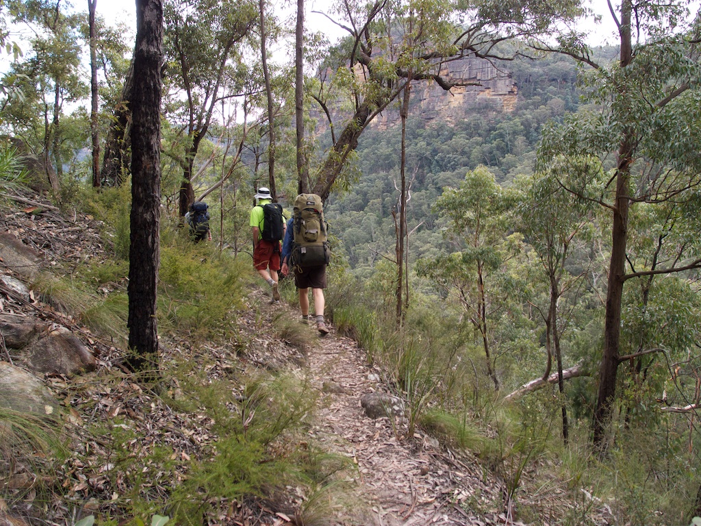
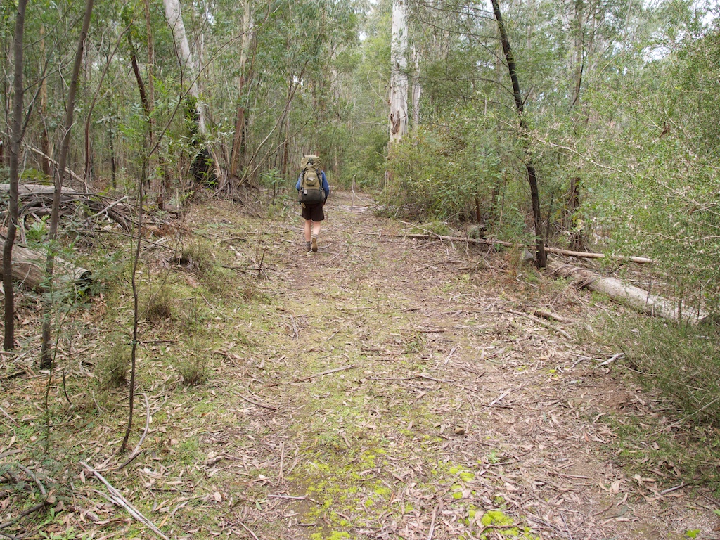
Above - on the way down to the Nattai River via Starlights Trail

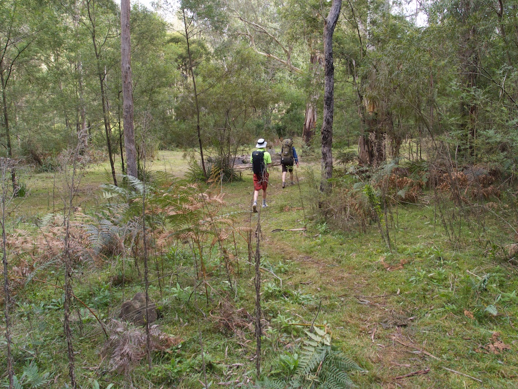
Above - arriving at McArthurs Flat on the Nattai River
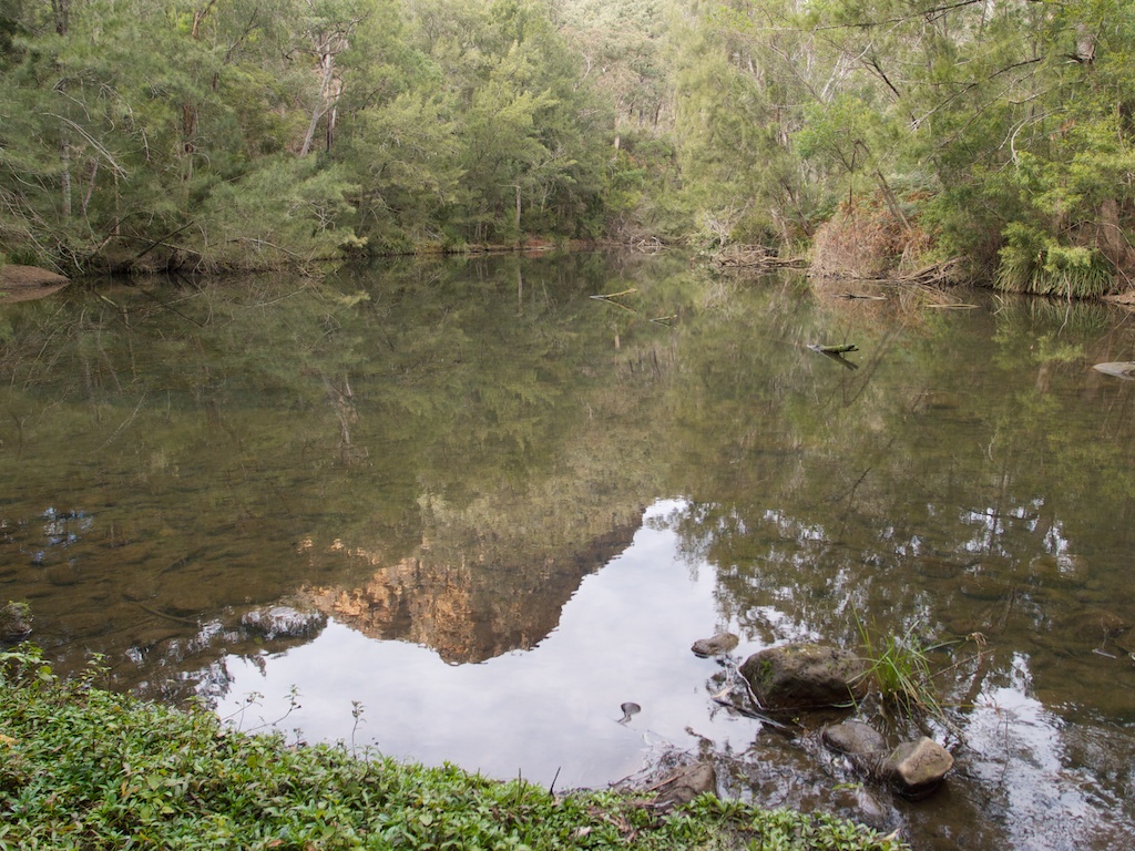
Above - the Nattai River
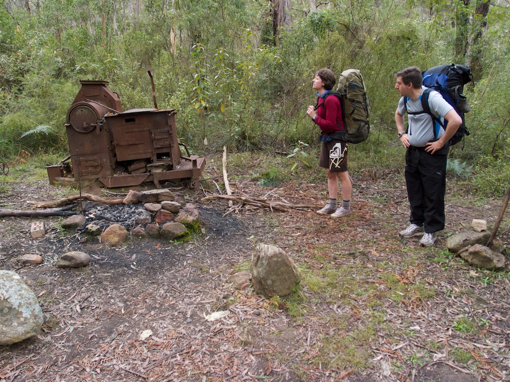
Above - a little downstream - on Emmetts Flat - we noticed this old
stove
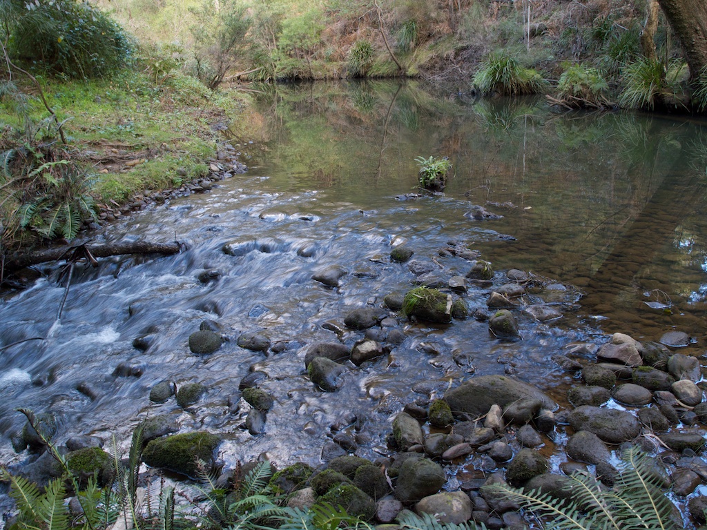
Above - Nattai River
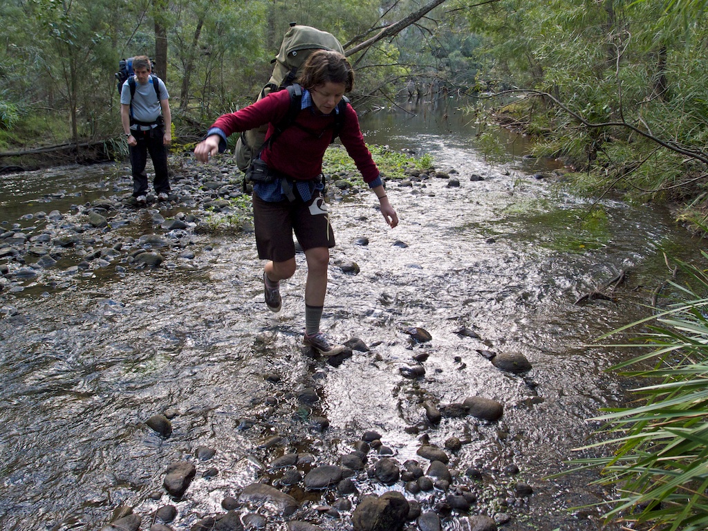
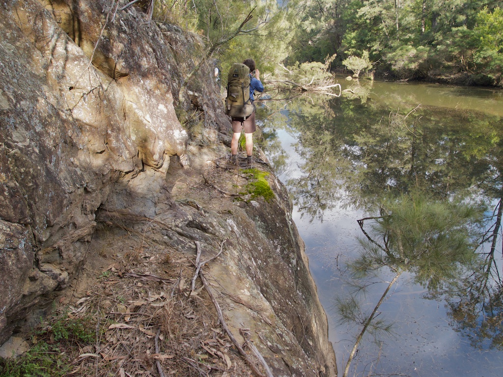
Above - careful steps! Sarah crossing the river

Above - tin tag markers - occasionally marking the route down the
river. In places as we went down the river we could follow a faint
track. But is was very easy to loose - even looking out for the markers
(which were mainly blue, but sometimes red or yellow). In many places
it was not worth looking for the markers as there was not much
difference trying to follow the "track" or just finding your own route.
The marked route mainly follows the true right side. In some places the
river bed is rocky and the baks are steep - but mostly there are nice
river flats and plenty of good campsites. However there is a lot of pig
damage on the river flats.
Day 2
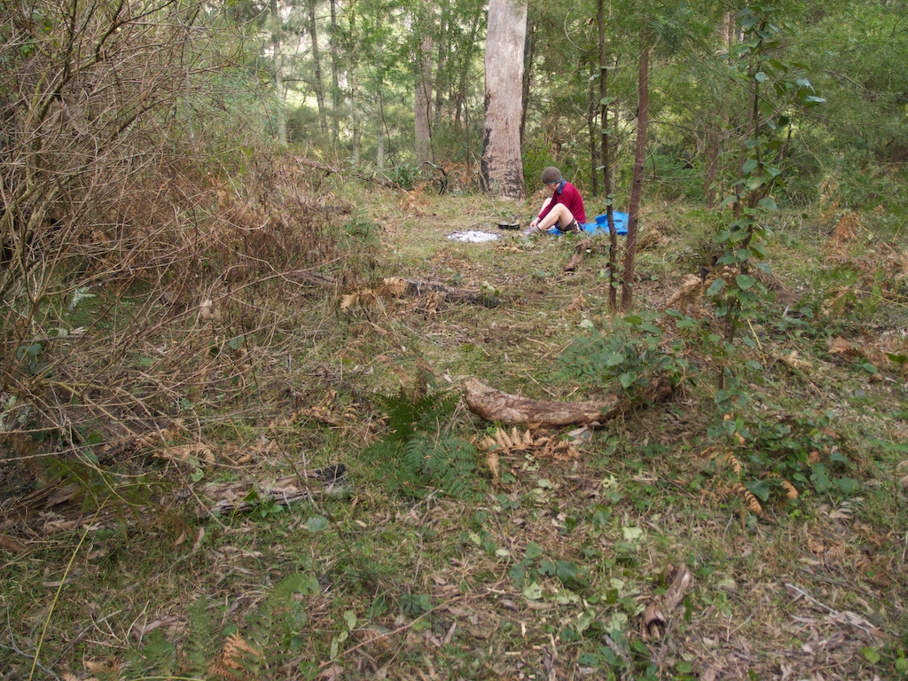
Above - Sarah at our first campsite on the river
The Nattai is polluted from sewage from Mittagong and it is far better
to drink water from sidecreeks. However - often the side creeks are
dry. We drank water from the river but made sure it was well boiled
first.
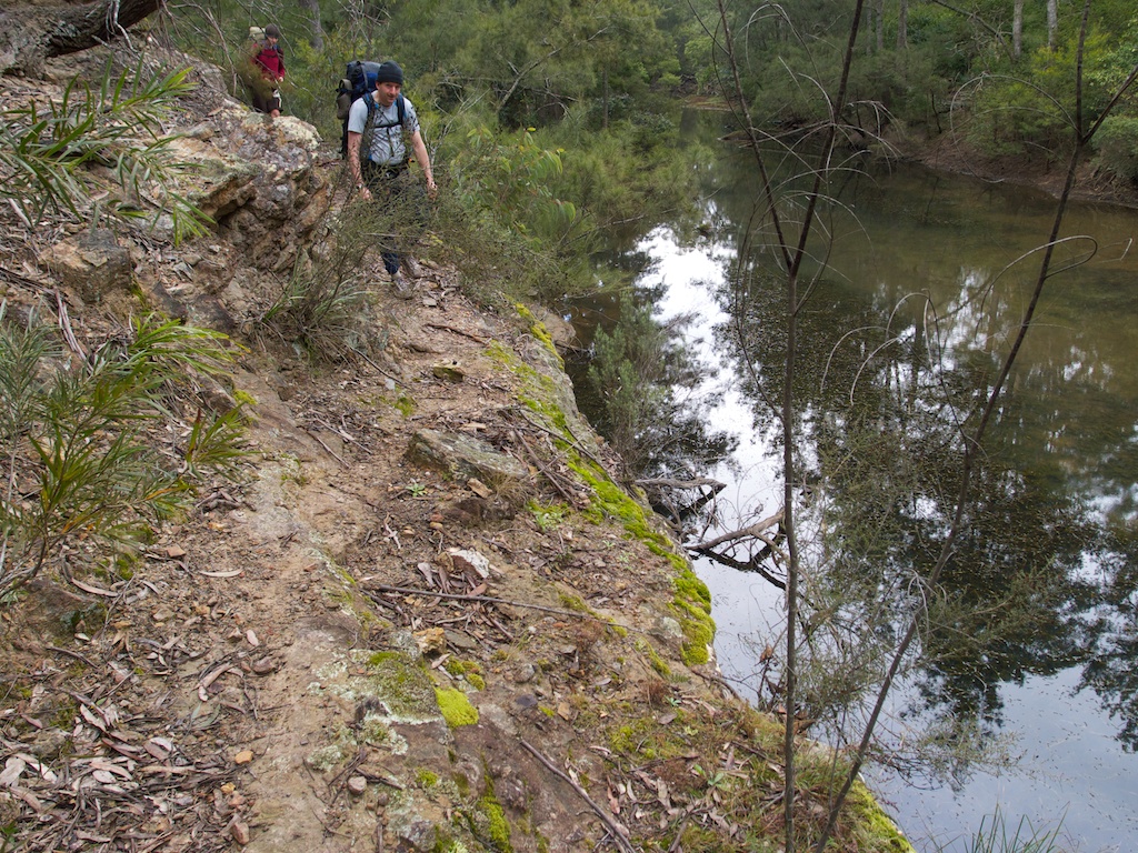
Above - Saul and Sarah on a small bluff
Above - Sarah at a larger river bluff. On a previous trip I had seen a
platypus in the river at this spot.
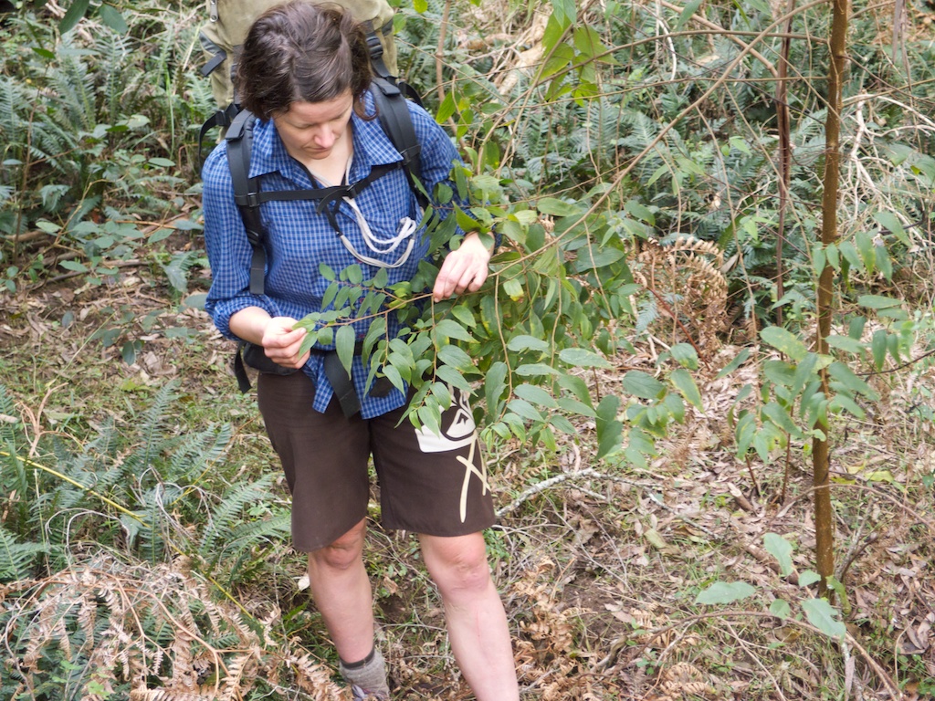
Above - Sarah inspecting some Tree
of
Heaven? - which seems to have
infested the river - along with a lot of feral pigs. No! - not Tree of
Heaven. From Col Gibson - "I think the plant you call Tree of
Heaven is not that, but a native lookalike called Poison Peach (Trema tomentosa var. viridis). It
is smaller and never gets out of control". Thanks Col.

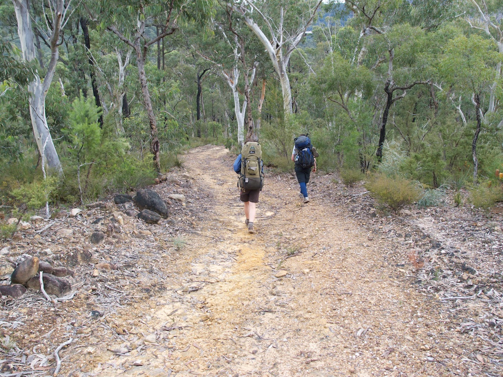
Above - lower down the valley we walked along an old farm road. We
followed this from Middle Flat to Vineyard Flat
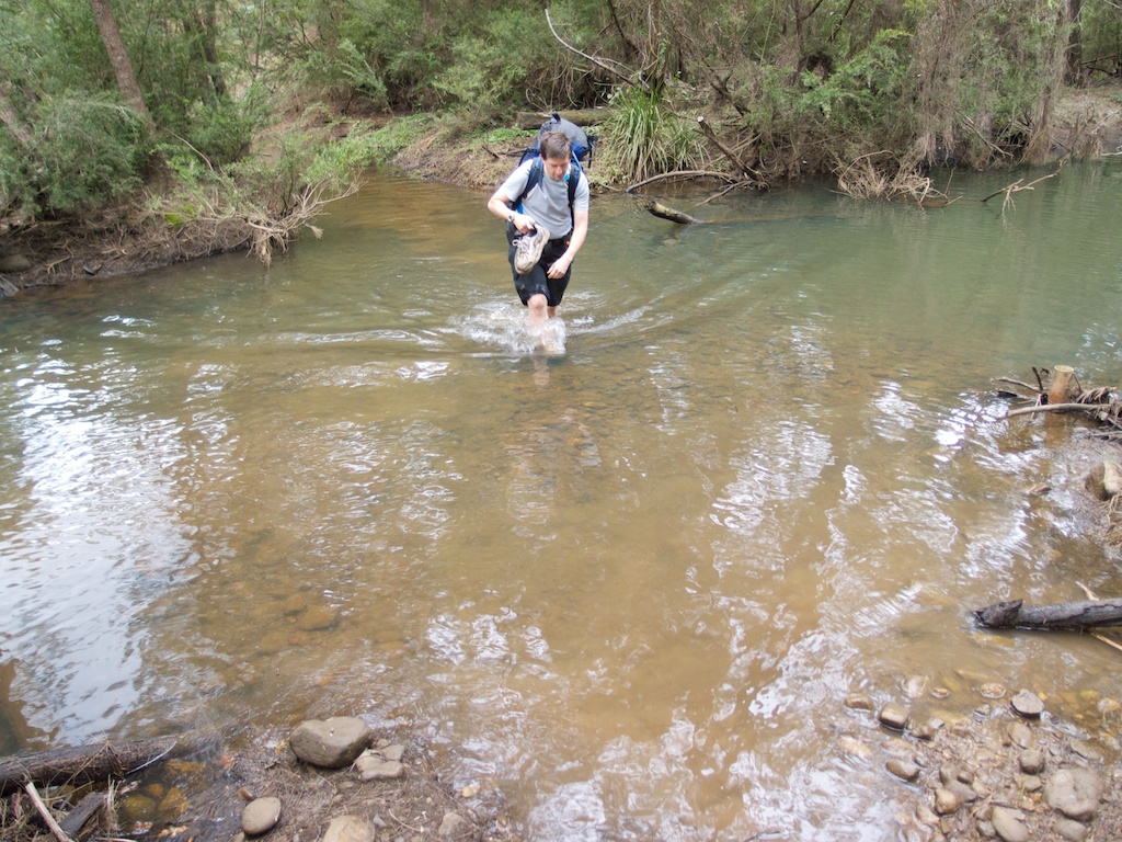
Above - Saul crossing the river - quite cold water!
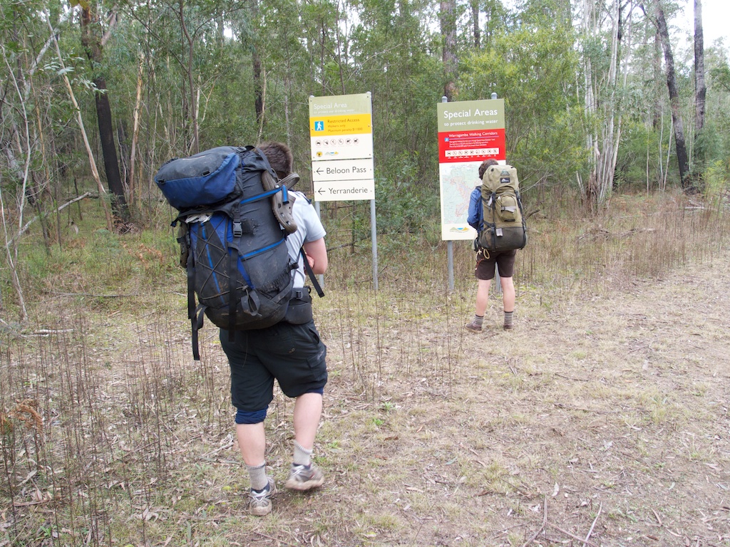
Above - at Vineyard Flat. The turnoff to Beloon Pass was well marked.
The track up to Beloon Pass follows and old fire control road at first
then follows the true left bank of Travis Creek. It is marked by blue
tin tag markers and the occasional duck (cairn).
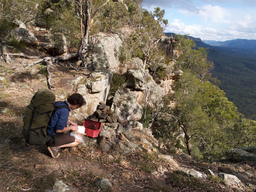
Above - at Beloon Pass - Sarah signing the logbook
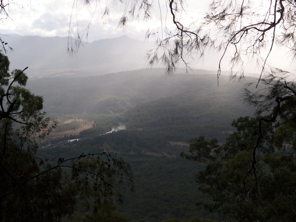
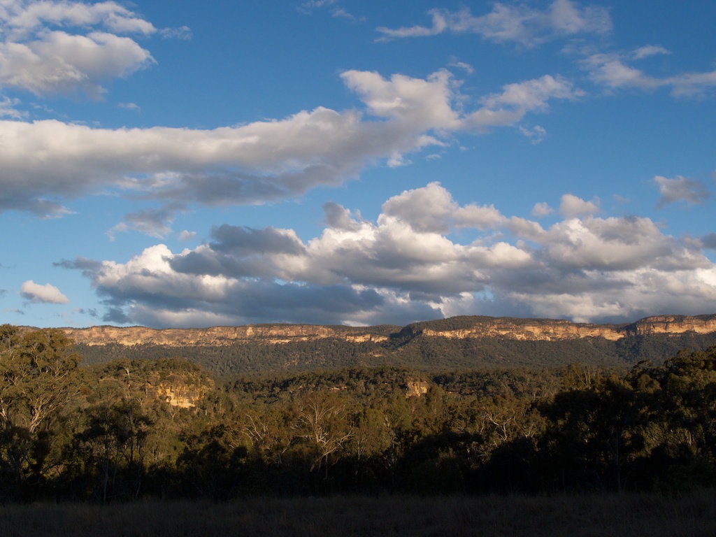
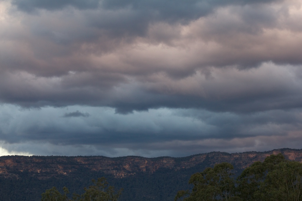
Above - approaching storm - Wollondilly River from Beloon Pass.
We had lunch at the pass - trying to shelter from the cold wind and
rain. The strong wind lasted the rest of the trip - and got much
stronger that evening.
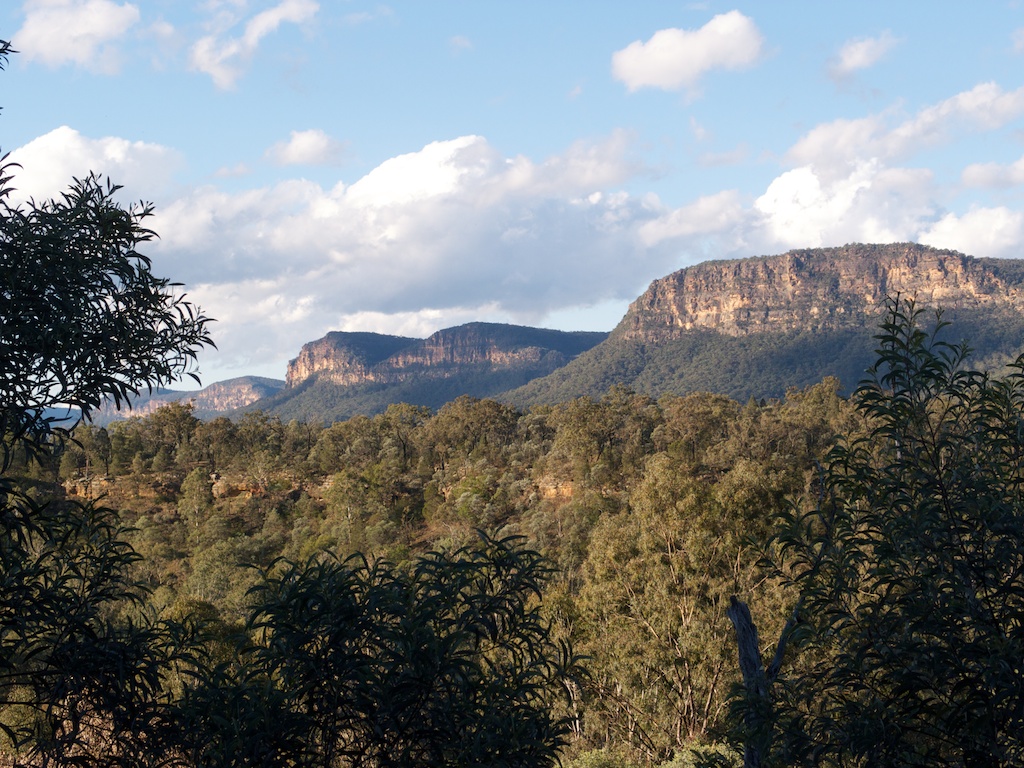
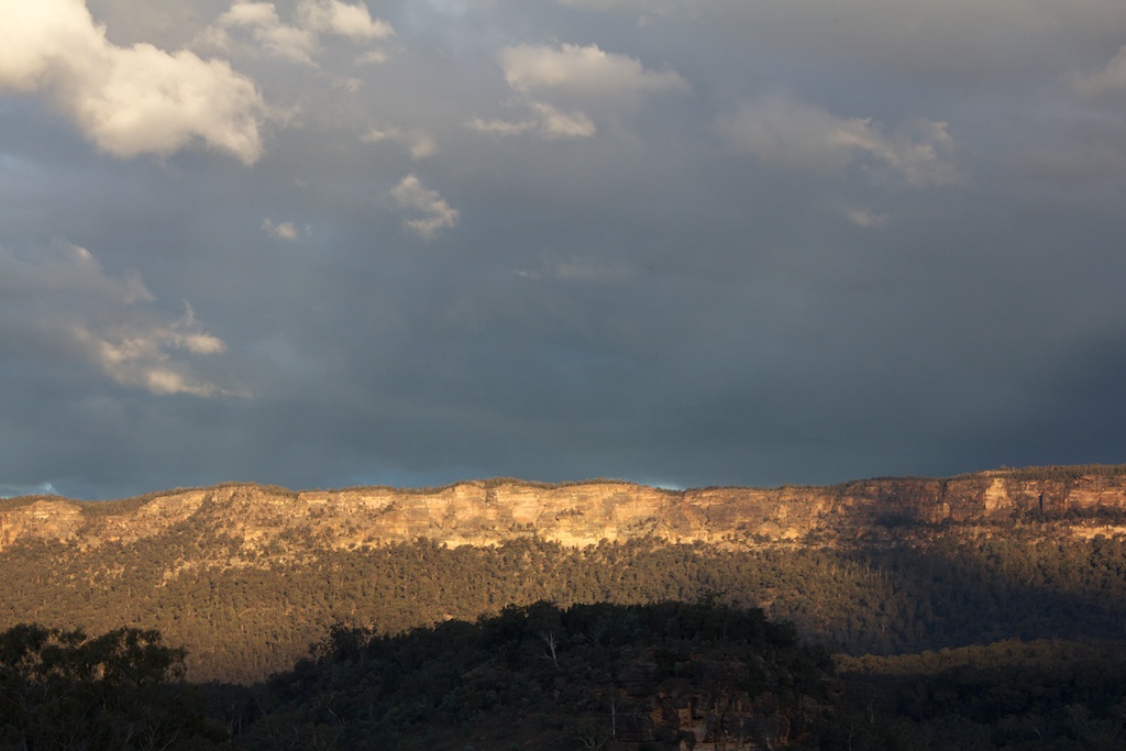
Above - Burrangorang cliffs
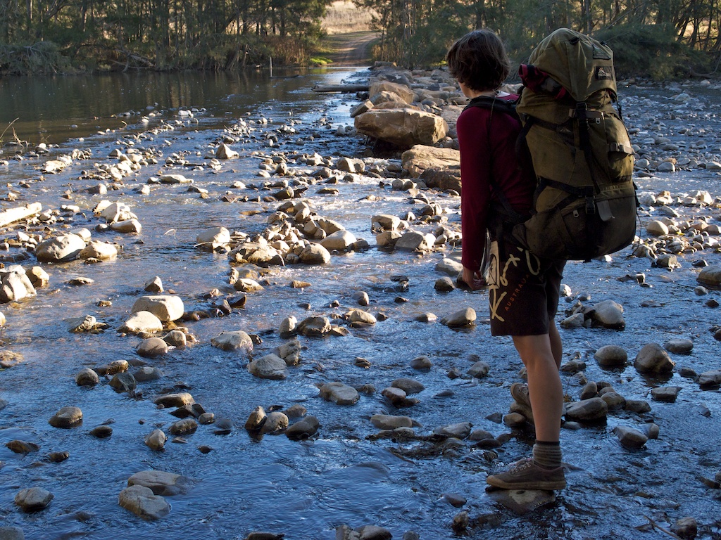
Above - Sarah at the Wollondilly ford
Above - Burragorang cliffs
Day 3
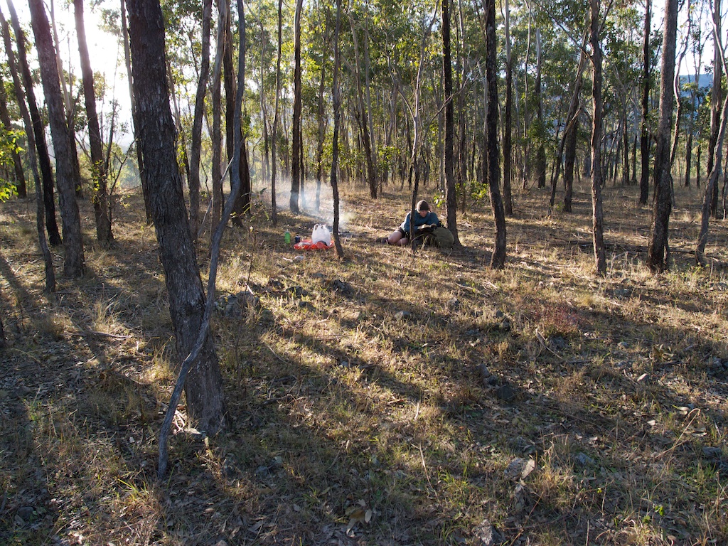
Above - a nice campsite above the Wollondilly
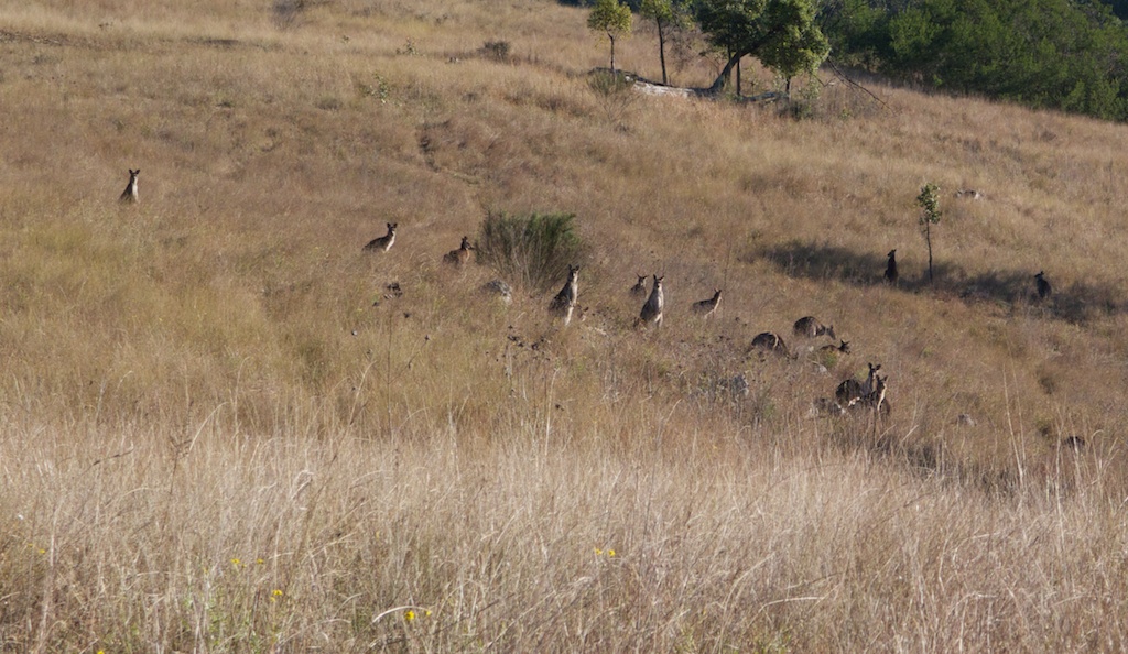
Above - watchers
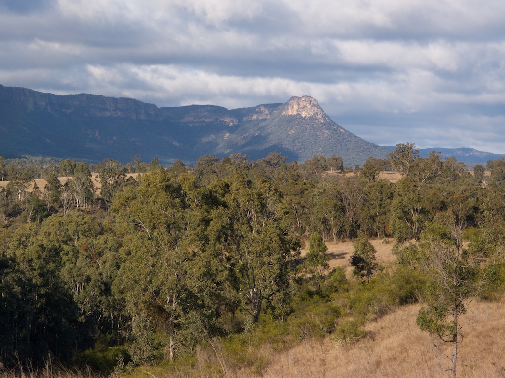
Above - Bonnum Pic

Above - rainbow
Continue to Page 2
Return to Menu
Return to david-noble.net