Mittagong to Katoomba Walk - 3 - 9 July 2011
All images © David Noble. No image can be used for any purpose
without permission.
Walkers - Sarah, Saul, Dave (and James walked down to the Nattai River
with us on the first day). This walk was organised for SUBW.
We started from Hilltop by walking down Starlights Trail to the Nattai
River. We then followed the river downstream to Vineyard Flat and then
crossed to the Wollondilly Valley via Beloon Pass. Then it was a
roadbash into Yerranderie. We had originally intended to then head into
the Blue Breaks - traversing the Axehead Range and then out along Lacys
and Bimlow Tablelands. However - we encountered very strong and cold
winds - and they ruled out high level routes involving scrambling - so
we then intended to go via the Kowmung River and the Low Gangerangs.
The weather forecast had changed from "damaging winds" to "destructive
winds"! However, we found the Kowmung River quite high - and crossing
it once was a quite cold and unpleasant experience. So the next route
change was to go via Kanangra Walls and the High Gangerangs. This would
bring us into the wind again - but the route would be quite
straightforward. We finished by descending Nurla Morella Ridge to the
Coxs River and then climbing "The Bitch" (Howling Dog) to ourt last
campsite at Splendour Rock. It reamined cold and windy on our kast day
walking to Katoomba via Narrow Neck.
Page 1 - Nattai River - Beloon Pass -
Wollondilly River
Page 2 - Yerranderie - Scotts Main Range -
Kowmung River
Page 3 - Kanangra Walls - Mt Cloudmaker - Coxs
River - Splendour Rock -
Wild Dog Mountains - Narrow Neck
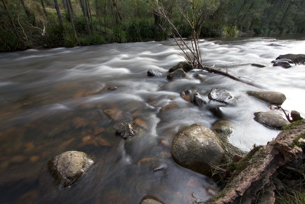
Above - The Kowmung River
Links -
A
walk from 2006 from Katoomba to Picton