Wolgan - Capertee Divide Walk - 6-8 July 2013
All images © David Noble. No image can be used for any purpose
without permission.
Day 3
Photos from Day 1 and photos
from Day 2
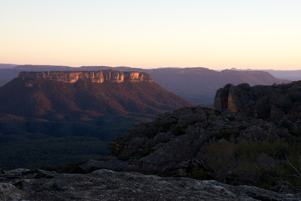
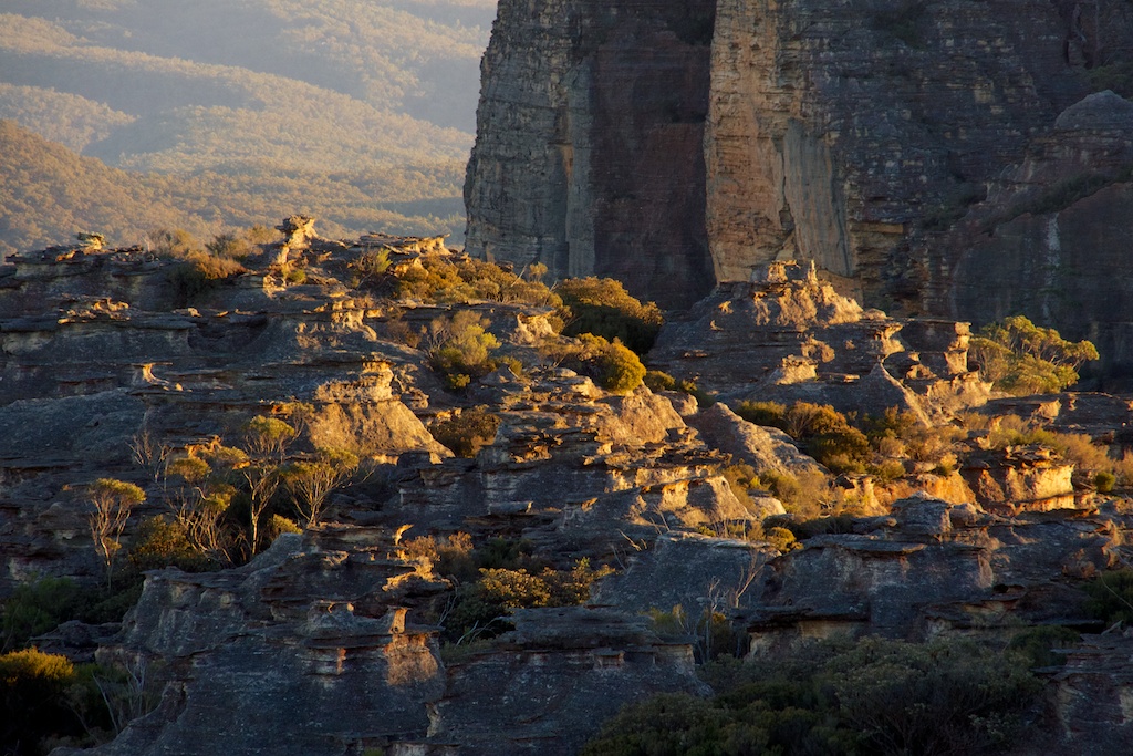
Above - first light on Pantoneys Crown
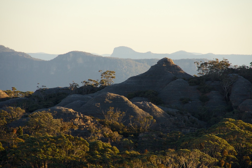
Above - Baal Bone Point and Pantoneys Crown


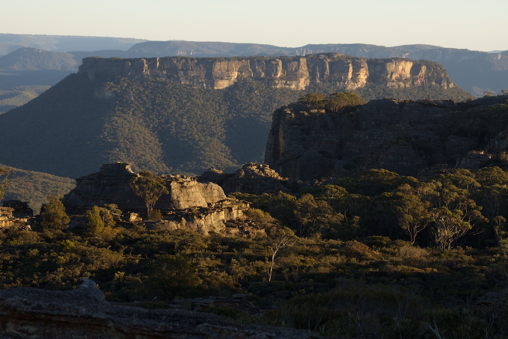
Above - domes near Point Cameron
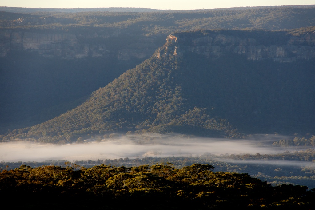
Above - mist in the Wolgan Valley
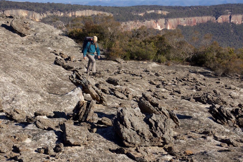
Above - setting off - Martin walking near fragments of the Exploded
Pagoda
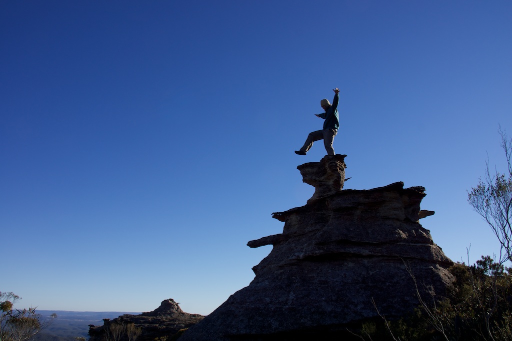
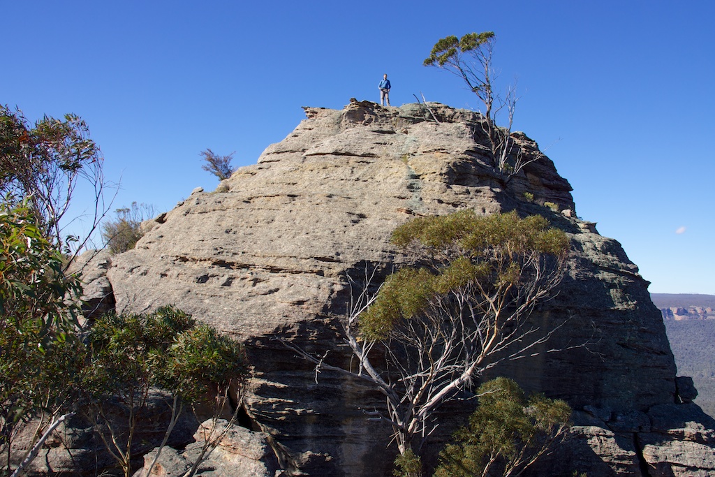
Above - Martin on a pagoda
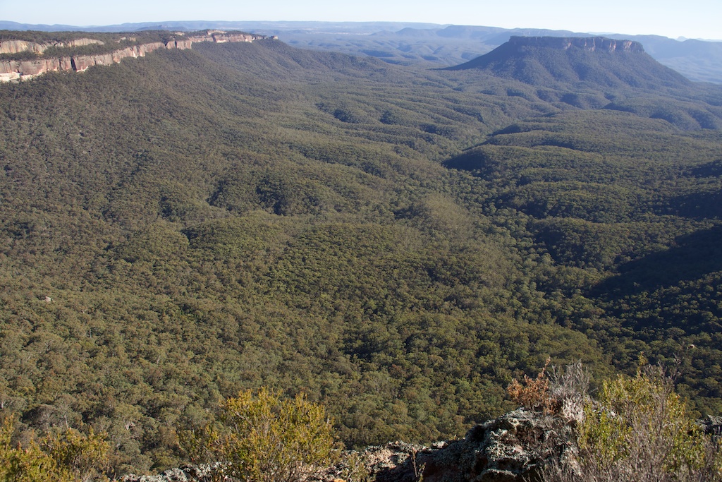
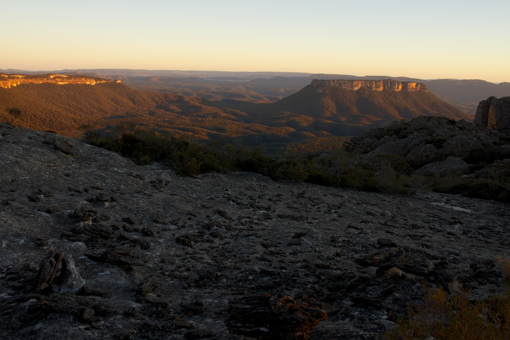
Above - last views of Pantoneys Crown and the Capertee Valley from
near McLeans Gap

Above - walking down a fire road near Cape Horn. Donkey Mountain in
the Wolgan Valley in the distance
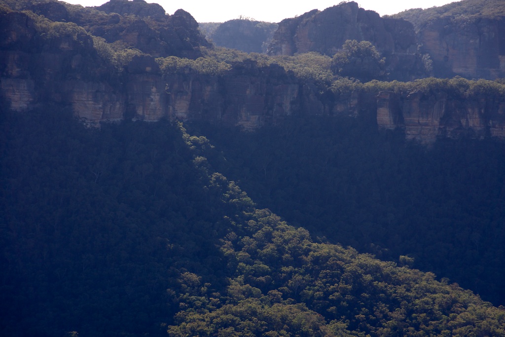
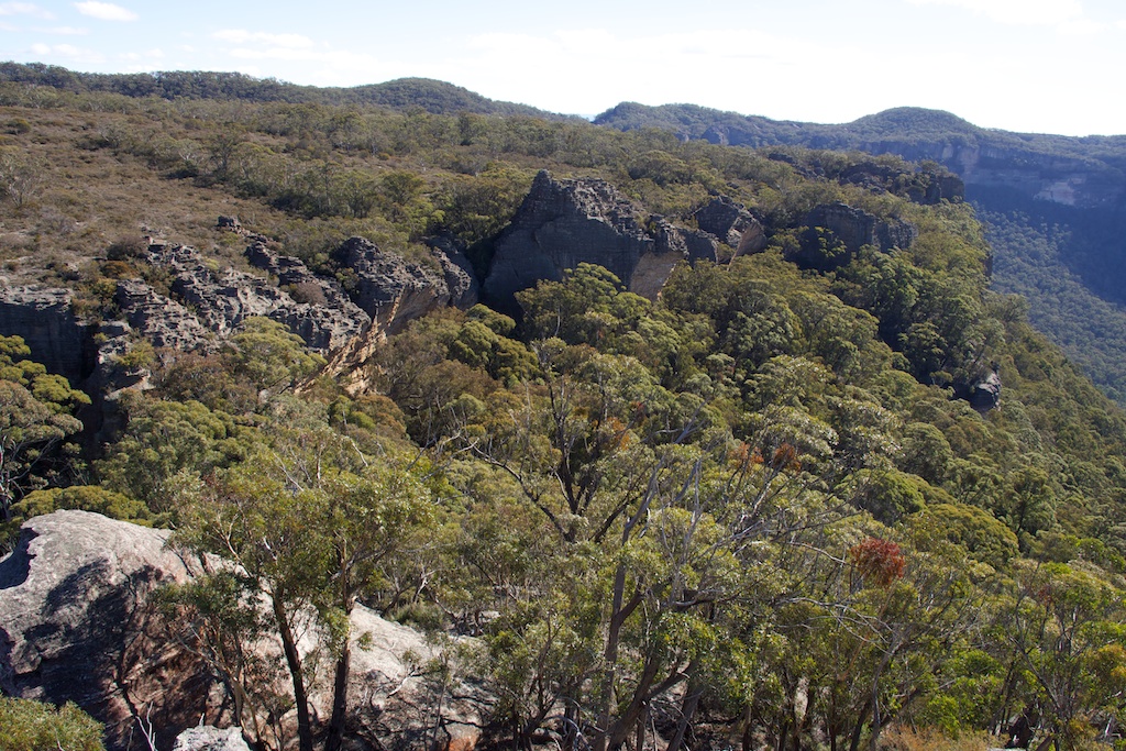
Above - complex Wolgan Cliffs
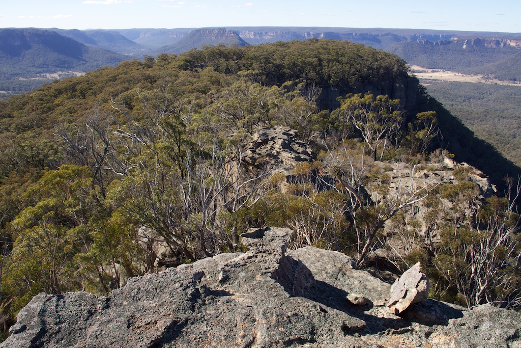
Above - looking back. The fire road ended in the clearing on the
left. We used a pass to get down the upper cliffline just to the
right of the middle pagoda.
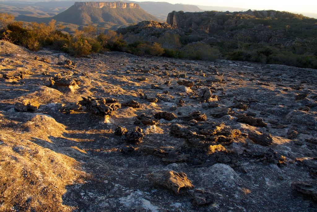
Above - looking towards Cape Horn. The gully on the right provided
an easy route through the lower cliffline
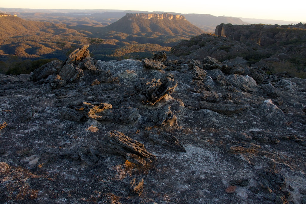
Above - Martin on a large dome
Return to david-noble.net