This was a nice day out and about with the National Parks Association of NSW on a walk around the South Head Area of Sydney Harbour National Park. It was led by Brian Everingham. As well as looking at some management issues of the area, it was a good look at some early colonial history and also the change to see some great scenery.

In the party were Brian, Valerie, Sue, Suzanne, Chloe, Chris, Mary, Hean Lay, Rebecca, Colin, Ann, Alan, Dianne, Jenny and myself.
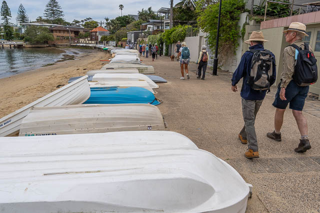
We first walked to Green Point, a small area of the National Park. This was the site of one end of the WWII anti submarine net put in place for the defence of Sydney.
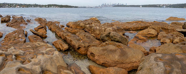
The point offers great views of Sydney Harbour. There is an obelisk, which is actually one of four around the harbour built for marine navigation.

We then walked towards Camp Cove.

On the way, we passed an area of closed off Commonwealth Government Land. We wondered what it was for, but later, I found this on the Watsons Bay Association website –
At the southern end of Camp Cove stands the house built by Russian scientist Nicolai Miklouho-Maclay between 1879 and 1881 as the base for a marine biological research station. Despite the excellent location for such a venture the house was taken over in 1885 for military purposes – and became property of the Commonwealth of Australia in 1908. It was mainly used as officers’ residential quarters until 2001, after which it was handed to the Sydney Harbour Federation Trust and it has seen adaptive reuse as a private residence
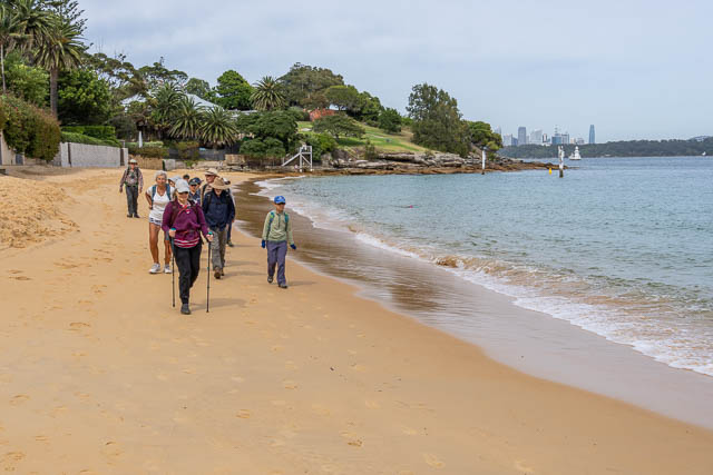
Camp Cove is a beautiful small sheltered beach, popular with scuba divers. It was named after the probable early campsite location of Governor Phillip.
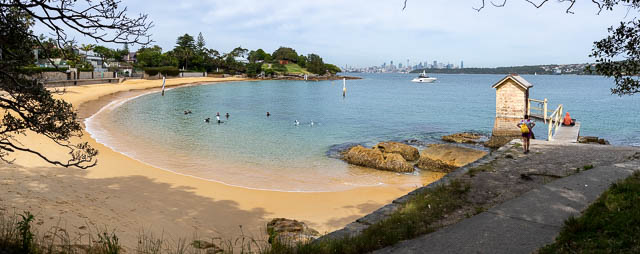
We also wondered about this unusual structure at the far end of the cove. It is reached by small pier. Again, so later post walk research showed it houses a tidal gauge. And the pier was originally used by the water police who had a base here.

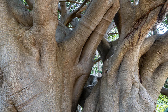
Then we climbed up an old cobblestone road that dates from the 1880’s. There are some defence structures here.

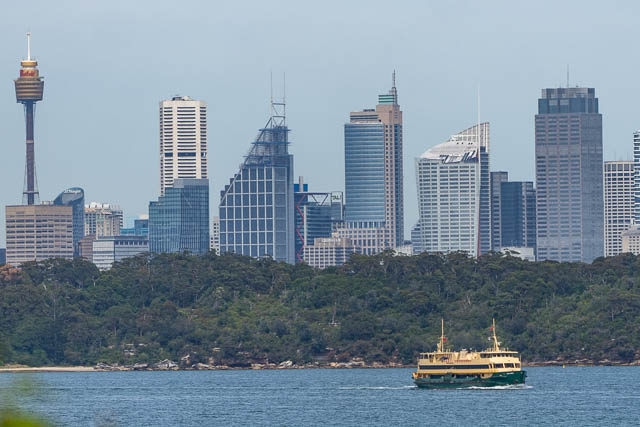
At the top of this small hill is a good view of the city, and the site of an old cannon. We wondered about the range of this cannon. Again some later research showed this –
Currently a 9-inch Mark V gun on a gun carriage [3.3A] is placed in the pit, relocated from elsewhere on South Head
This is from this artillery history site. The cannon was manufactures in 1871 and has a range of 3000 yards ( 2.7 km), so it could hot North Head, or Middle Head but not the city.

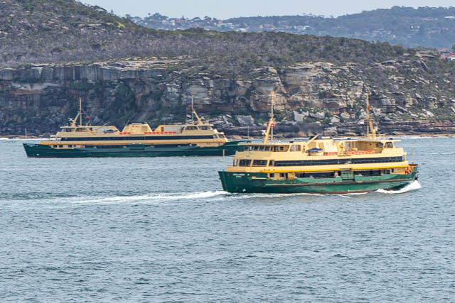
We also observed the passing of two if the old style Manly Ferries that will soon no longer be in service.
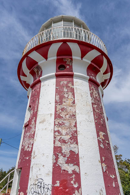
Nest stop was the Hornby Lighthouse. This was built soon after the Dunbar was wrecked on South Head near The Gap. It was painted with red stipes to distinguish it from the nearby Macquarie Lighthouse a short distance to the south.
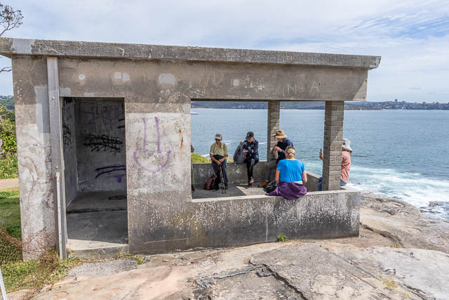
There are also a number of defence structures here in including areas where large guns were placed. The walkers below are inside a building that houses a search light dating from WWII.

We then called back to near Camp Cove and then along a different route towards Gap Bluff.
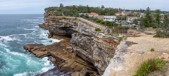
At The Gap was had a great view along the coast.
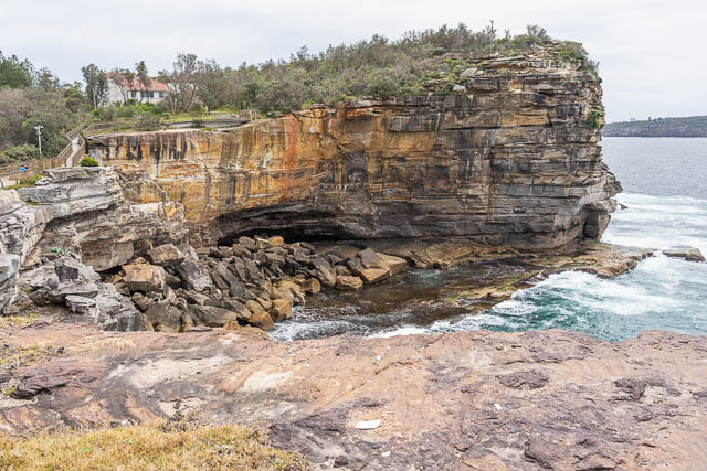
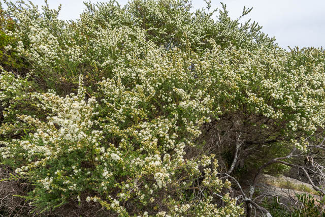
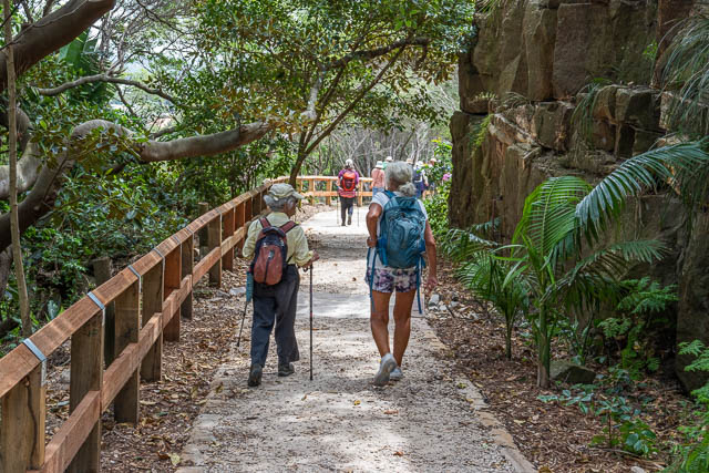
We then walked on a new path through Gap Bluff Reserve back to Watsons Bay.

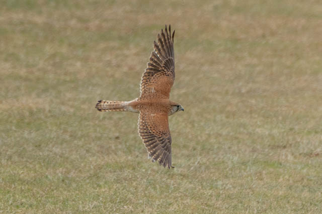
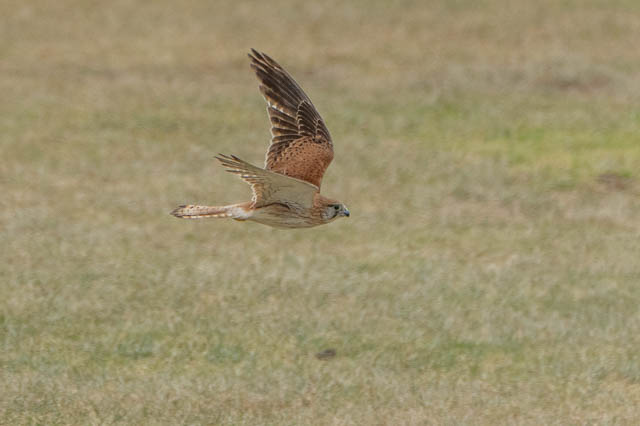
We then had s nice lunch and refreshments at a hotel at Watsons Bay. After lunch, I was joined by Valerie and Sue for a walk along the coastal path towards Dover Heights. I wanted to see if the local Nankeen Kestrel was about.
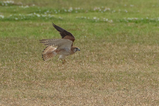
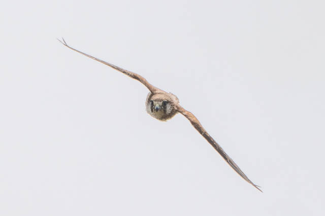
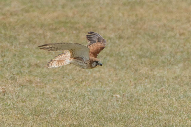
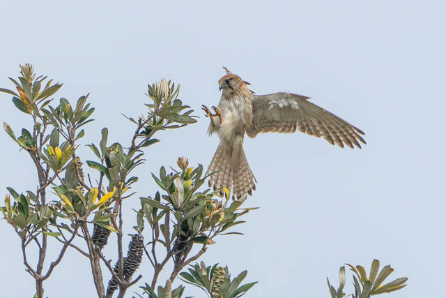
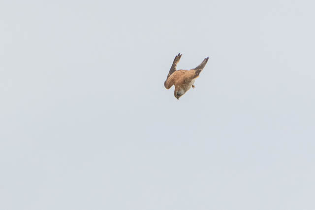
We walked past the old Signals Station and the Macquarie Lighthouse to Christison Park. Sure enough, the Nankeen Kestrel was there, but so was another. Two of them! Probably breeding pair. They were busy hunting in the park.


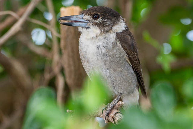
There was also a Grey Butcherbird singing away hidden in bush nearby.
Back to the Kestrels –



We then visited the Grumpy Baker for coffee before catching a bus to Edgecliff Station.
Thanks to Brian for organising the walk and for everyone who came along for their company.
