The Alpine Pass Route - Switzerland
Gsteig to Montreux (Days 14 and 15)
All images © David Noble. No image can be used for any purpose without permission.
Day 14 - 27 September 2008
I left Gsteig and climbed up to Blattipass (1900m). The guidebook said
there were good views - but when I got there the mist had not yet
lifted. I waited around for a while and took a few photos of flowers
and fungi - but the mist was persistent so I reluctantly move on.

Above - flower

Above - fungi
Above - The trail then went through some beautiful meadows - unlike anything I had seen so far on the walk.

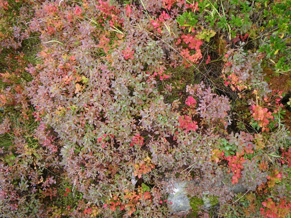
Above - vegetation
Above - vegetation

Above - ferns
Above - vegetation
Above - vegetation
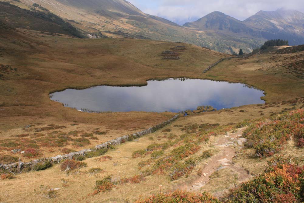
Above - This stone fence is the boundary marking Kanton Vaud and brought me into French speaking Switzerland.

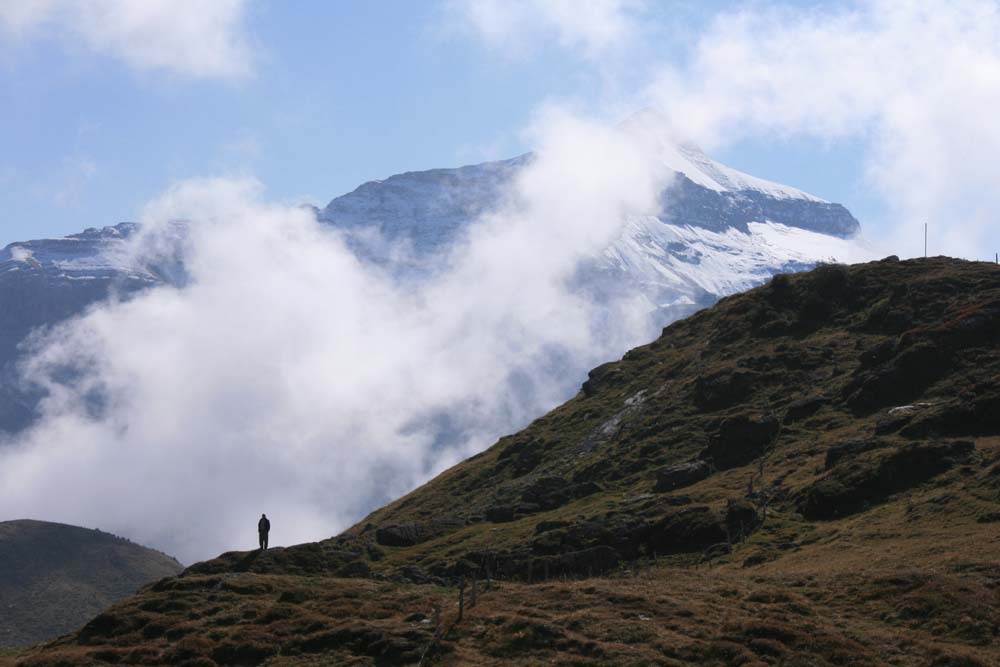
Above - One last (telephoto) view back to the Eiger and peaks near it.
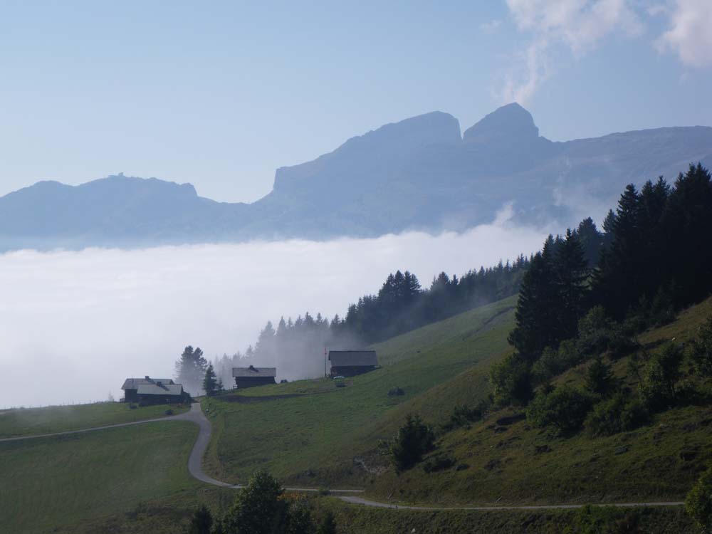
Above - Les Diablerets coming out of the mist.
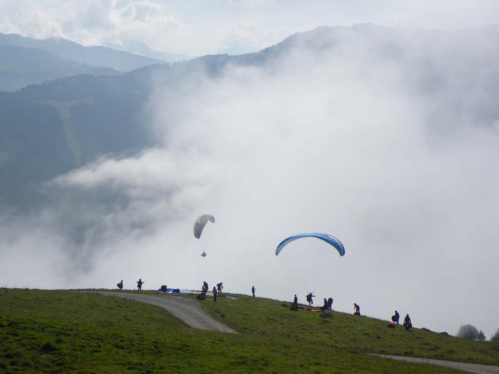
Above - paragliders taking off.
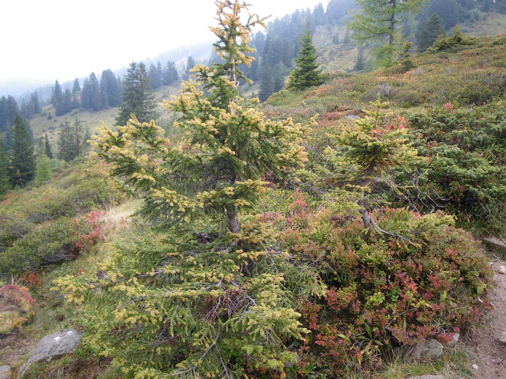
Above - On the way to the Col Des Mosses
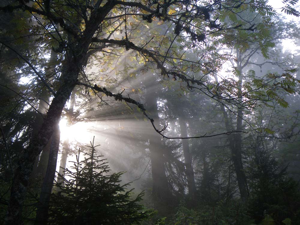
Above - In the mist in the forest.
I went to Col Des Mosses where stayed in the large Hotel Le Relais Alpin.
Day 15 - 28 September 2008
I left Col Des Mosses on a cold frosty morning.
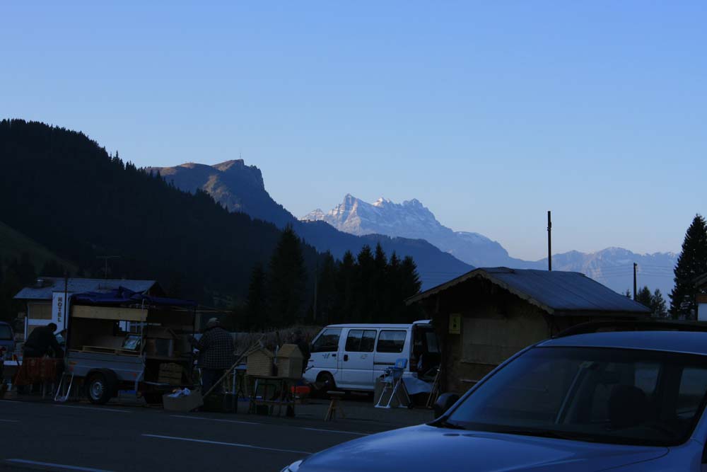
Above - Markets being set up as I left town. The Dent du Midi in the background.
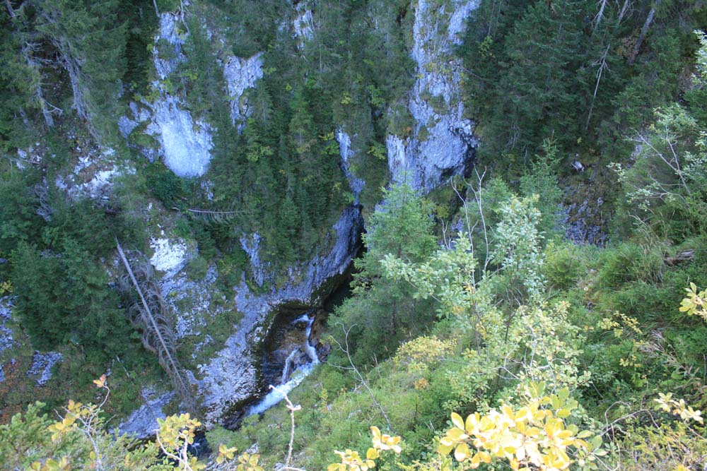
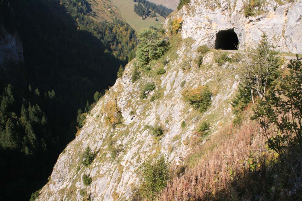
Above - A deep gorge on the way to Lac de l'Hongrin
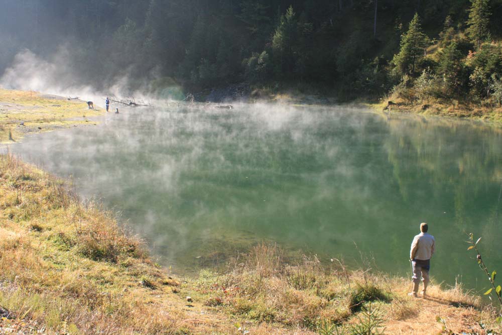
Above - Mist on Lac de l'Hongrin
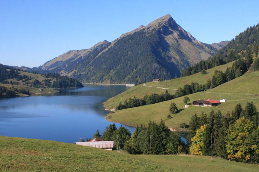
Above - Lac de l'Hongrin.
Above - This section of the walk involved road walking. You had to go
through this long tunnel near Barrage de l'Hongrin (dam wall).
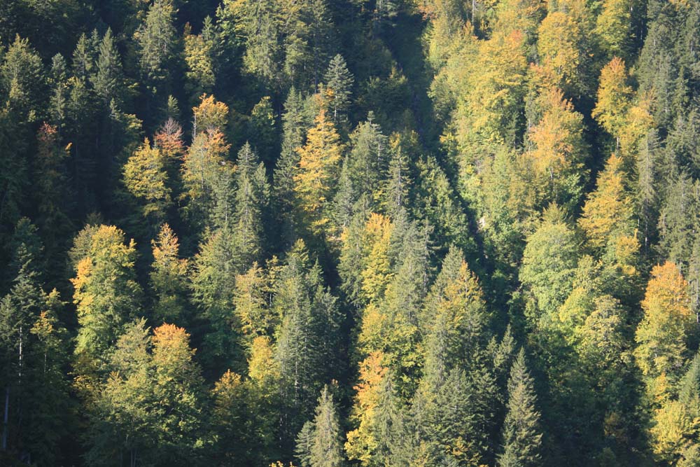
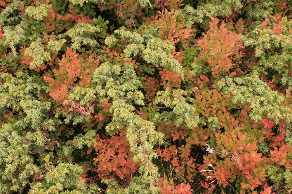
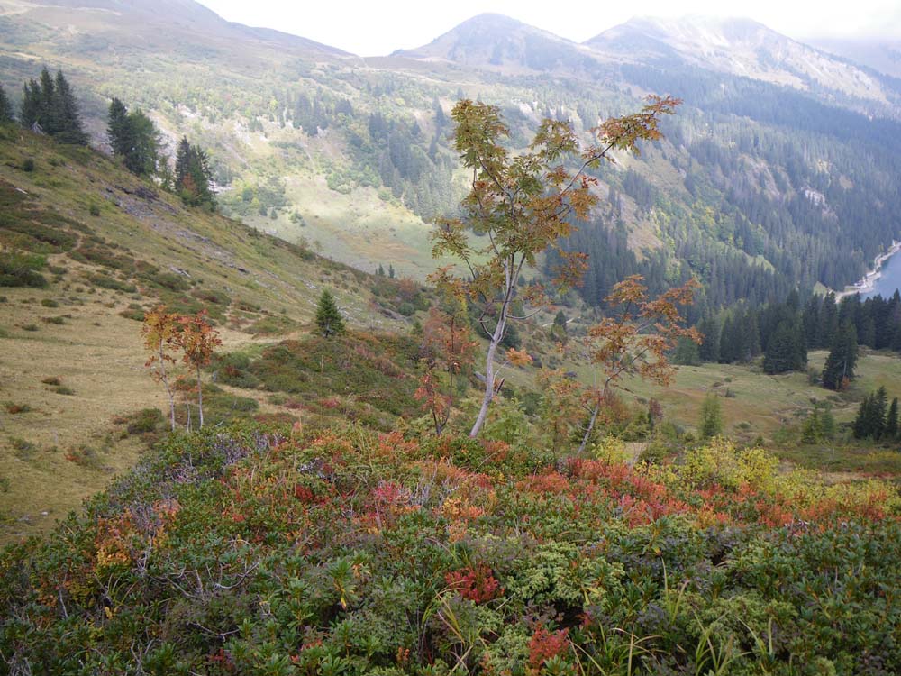
Above - Deciduous trees amongst conifers.
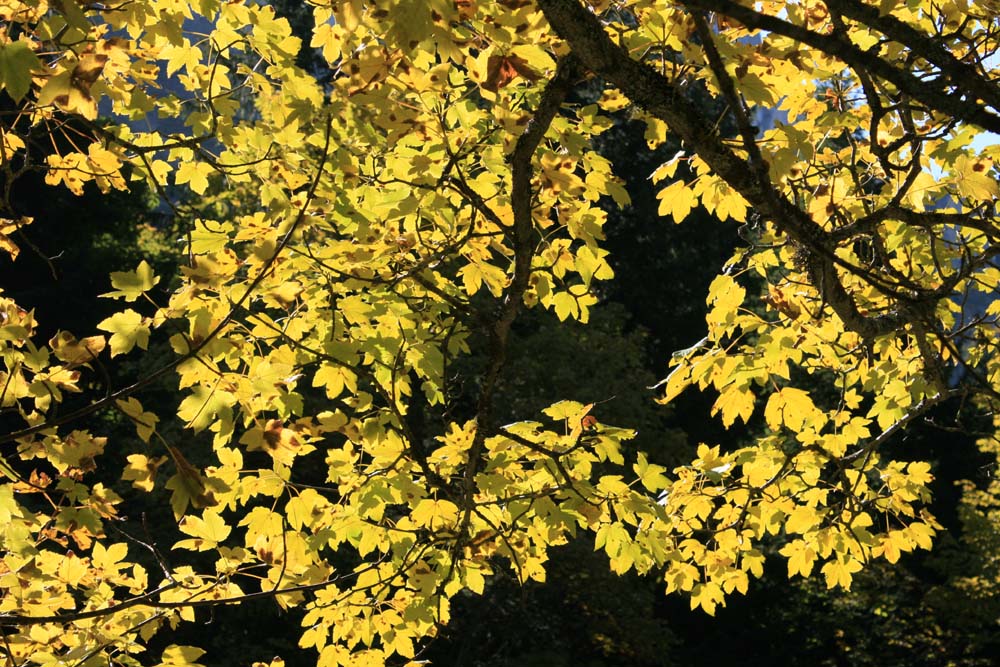
Above - Autumn colours
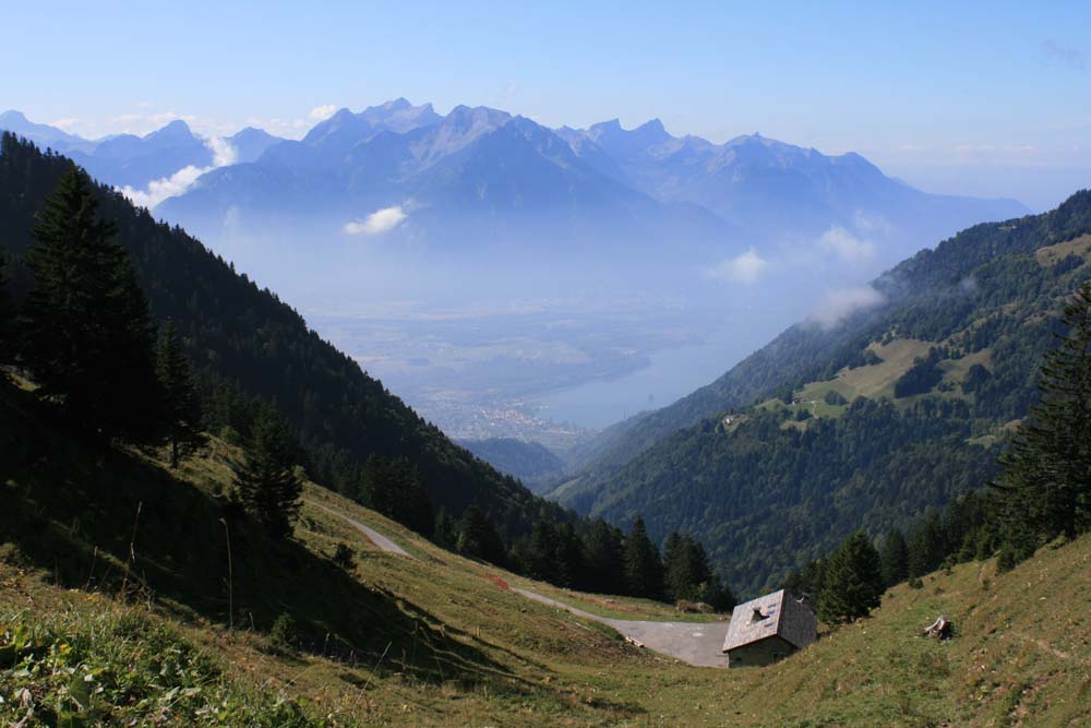
Above - Looking down from the last Pass - Col de Chaude (1621m). You can see Lac Léman and the outskirts of Montreux.

Above - Coral fungi in forest below the pass.
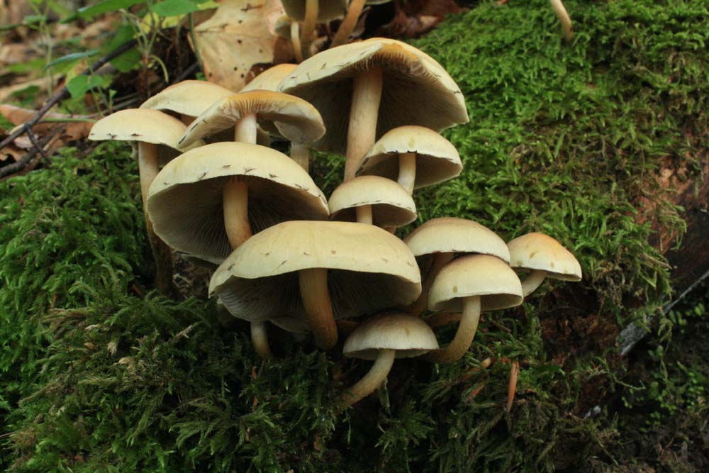
Above - more fungi
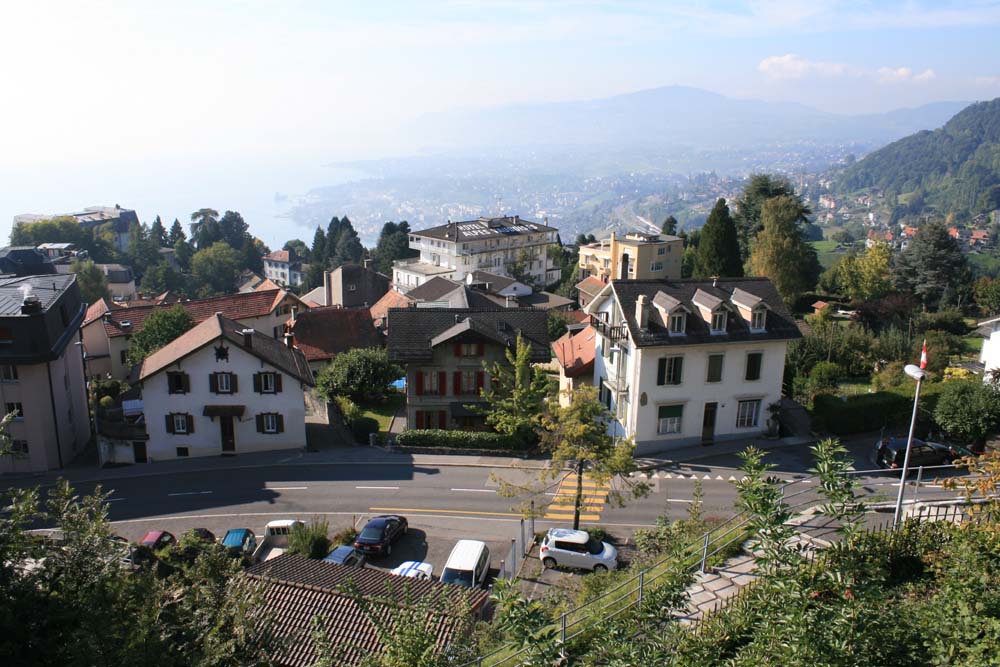
Above - Glion - a high suburb of Montreux - nearly at the end of my trip.
From Montreux I caught a train down the lake to Lutry to visit my friend Madlen.
Return to Alpine Pass Route Menu
Return to Europe 2008 Menu
Return to david-noble.net