This was a pleasant weekend walk from Bell to Wollanagmbe Crater and back the same way. Su Li and Brent organised he walk, and they were joined by Martin, Steffy and myself.
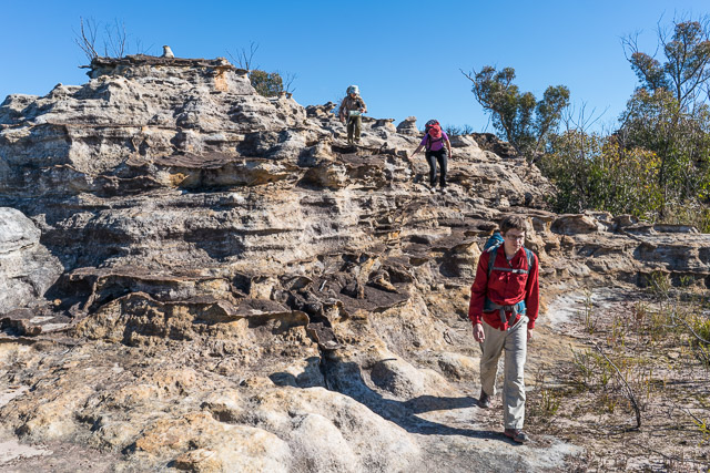
It was fine but cool weather. We set off from bell, following an old fire trail that goes down to the south branch of the Wollangambe River, then up the other side to spot height 994. On top of the ridge, we met a party of lost children, accompanied by their father. They were supposed to be walking to Goochs Crater and seemed to have taken the wrong ridge. We showed them where they were on the map. we noticed that one of the children had a map, but another had the compass – so that may have been the source of their problem?
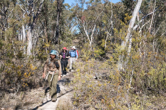
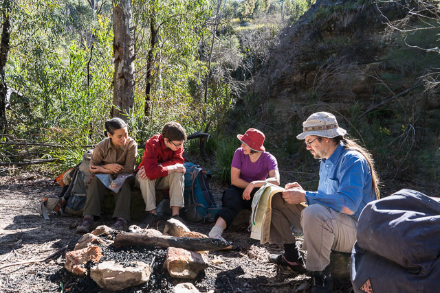
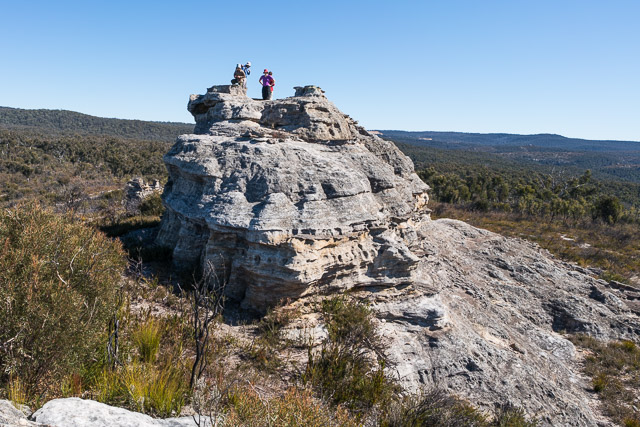
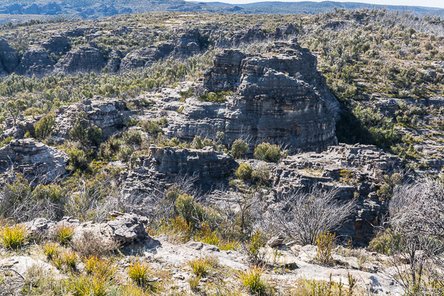
We left the old road and continued on a faint track that goes all the way along the ridge to Wollangambe Crater. It is easy to loose this track and you need to keep an eye on the map and compass (or GPS) as the ridge wanders around a bit around – all part of walking in the Wollangambe Wilderness.
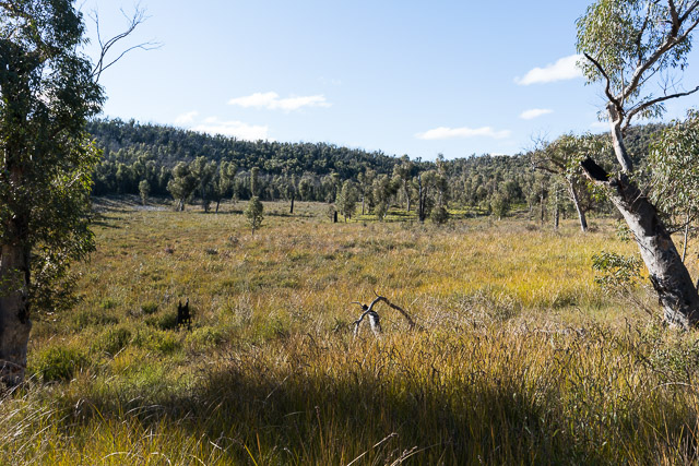
Wollangambe Crater
We found a nice sunny lookout for lunch. Just as we were setting off after our break, we met another walk – on his way out. He had been walking up the Wollangambe River – looking for platypus. He had spotted four (I think), and said he had seen eight on a similar trip last year. That would likely have been before the coal fines spill.
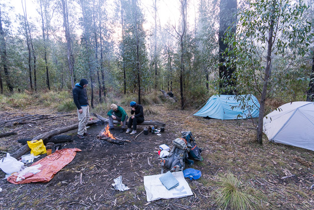
We soon descended to the Wollangambe River – the main branch this time, where there is a nice campsite. The crater is only a short distance away. This visit we camped near the creek. on my previous visit we had camped in the crater itself. Both are quite reasonable campsites – the crater is sunnier, but the creek offers more shelter.
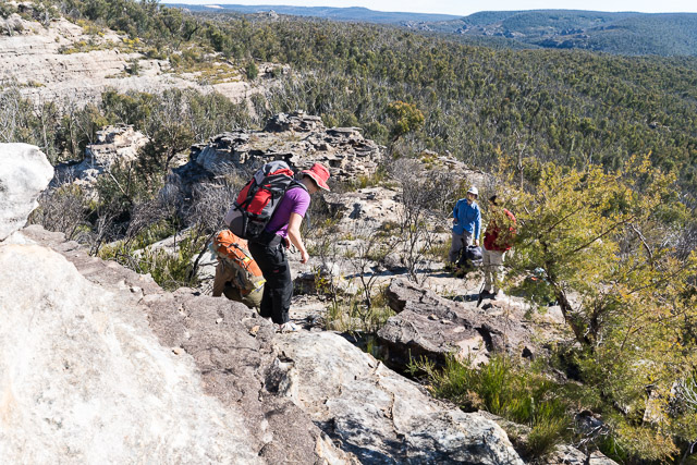
On the Sunday, we returned the same way as we had come. More pleasant walking.
More photos of our trip are online here.

Hi David You seem to know alot about the Wollangambe River. A few friends and myself yesterday tried to walk to the First Lilo exit ie the middle walking track, starting at Mt Wilson RFS. We couldn’t find the start of the walking track from the fire trail. Is it still there? Please help as we would like to try again.
Yes – track is still there and well used. I don’t think there is any sign marking the start of it from the fire road (unlike the first track) – so you may want to take a map and look out for it. Tome Brennan has marked it on his map which you can download from his canyoning site
http://ozultimate.com/canyoning/maps.htm