
I had suggested this walk to Bob a while back. I had thought about some o f the other tributaries of Glenbrook Creek – such as Kanuka Brook and Magdala Creek – they both have waterfalls along their length. So I thought it likely that Western Creek could have a waterfall or two. It seems to be a seldom visited creek.
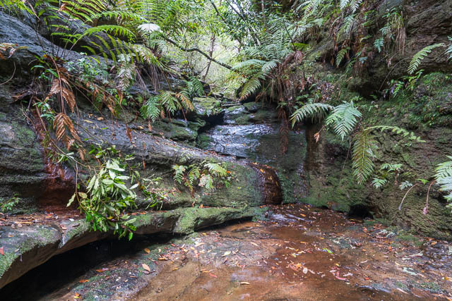
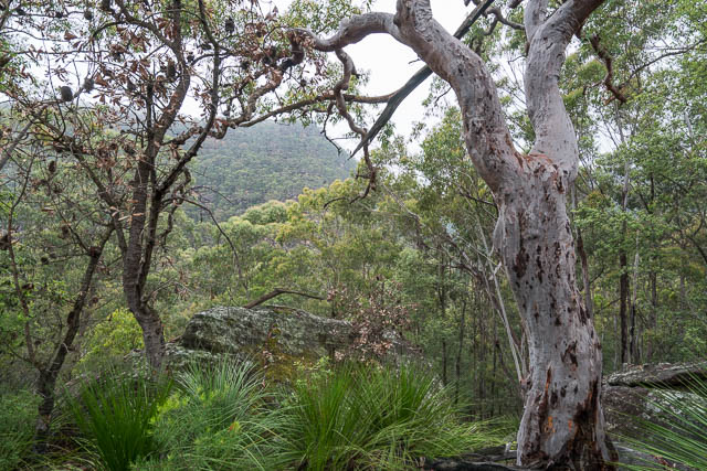
Small Waterfall in Western Creek
Perhaps in the past, when St Helena was weed free and a frequently used camp sight, some visitors may have walked down the exit creek from the crater and walked down Western Creek to Glenbrook Creek. I thought that may not be the best way to go now due to the weeds in the crater. Particularly Blackberries.
It looked like if you climbed up the Kings Link Track to Bunyan Lookout, and if you followed the track towards St Helena, you could then follow a ridge down into the creek and but downstream of the crater. Looking at maps and air photos, it seemed like the best place to look for a waterfall would be in a side creek not far downstream from where we would enter the creek.
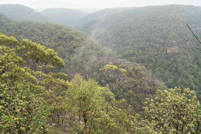
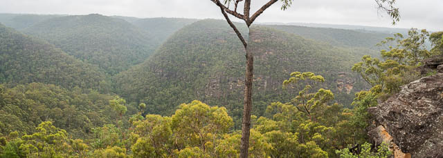
Western Creek from Martins Lookout
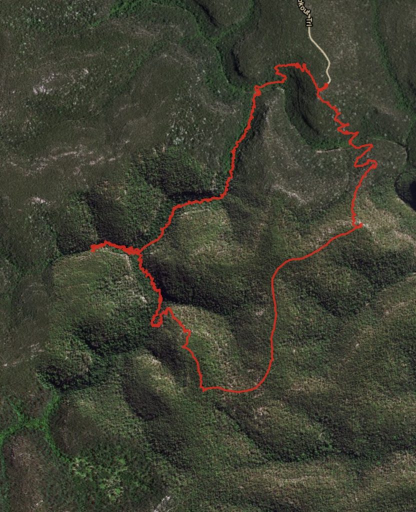
A wet day was forecast, but the morning weather did not look too bad, so we cancelled other plans and set off for Martins Lookout at Springwood. We were soon walking down the downstream track to Glenbrook Creek. At the button we crossed the creek and followed the Kings Link Track up to Bunyan Lookout. So far the rain was holding off – only some very light drizzle. On the way up, we met another party of walkers, in uniforms, walking down with overnight packs.
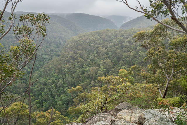
At the lookout, we admired the views and then set off along the track towards St Helena. Not far before the St Helena turnoff, we found our ridge and followed it out to cliffs overlooking Western Creek.
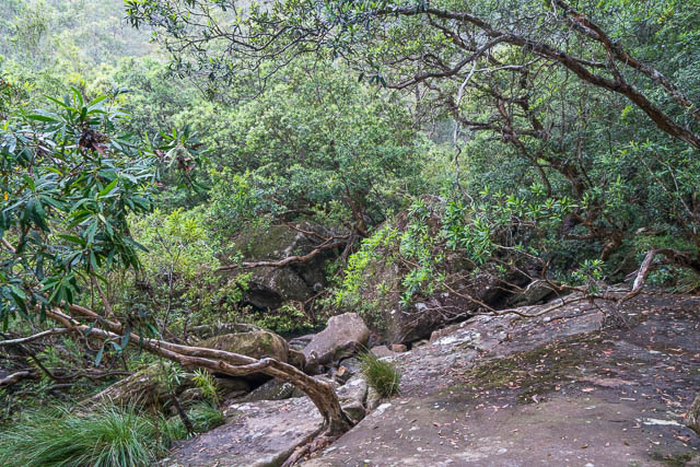
It was an interesting scramble getting down to the creek. There were a number of small cliff lines that had to be negotiated. Rope would have been handy in one or two spots – but we had neglected to bring any. In the end, we found a way down with only one tricky move. Lucky it was not raining!
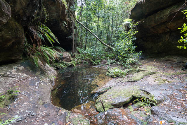
The creek below was quite nice. Rainforest. Open in parts and scrubby and bouldery in other places.
We walked downstream a few hundred metres to our side creek. Looking upstream, it did look promising. There were cliffs nearby. We walked up the branch for about twenty minutes – and had to scramble up a few bouldery sections. But waterfalls? – no major ones. So we retraced our steps back to the main creek, and then set off downstream to Glenbrook Creek. The going was quite rough walking – boulders, pools, water gums. No fats walking, but not too bad and not too far. Near Glenbrook Creek – the rain started and was very heavy for about ten minutes.
As we arrived at the rock slabs of Glenbrook Creek, the rain stopped and the sun came out. It was very steamy! This was a good place for lunch.
We then walked the short distance to the Glenbrook Creek track and took the upstream track back up to Martins Lookout.
This was an interesting walk, but not one I would be keen to repeat in the near future.
Hi David,
I walked the entire length of Western Creek on Sunday. There is a decent waterfall, but it’s much further upstream from where you looked. I’ve marked it on the map here as Western Falls:
https://maps.ozultimate.com/?lat=-33.76261237977218&lng=150.5295181274414&zoom=17&id=1601940150056
I swear I saw you and Bob walking up the highway at Woodford a few weeks ago, did you find Gemini Falls?
I don’t think that was us at Woodford. And have not had chance to look for Gemini Falls, but intend to do so…. some time.
I thought Gemini falls where now underwater in Woodford dam? Is it a different waterfall your looking for?
Yes – I thought so too, but it looks like it is close to the upstream part of the lake, so perhaps not.
Hi David. I think I found Gemini Falls a couple weeks ago. It is (wrongly?) called Hazel Falls on the Council’s kids’ Bushtrackers map and accessed from a firetrail off Clearview Street Hazelbrook BUT I went there and found the top of the falls but there was no signage, so I’m not sure. I couldn’t actually get a frontal view or go down to the bottom. Today I went and saw Mabel and Edith Falls and then followed the signs to Hazel Falls, all from Woodbury Street. I got to Hazel Falls and it looked completely different to the falls I saw a few weeks ago, but at these falls you’re under an overhang and closer to the ground, whereas a few weeks ago I was only at the top… so… who knows…?
Gemini Falls is quite different to Hazel Falls. I have now been to Gemini Falls (it is easy to get to – and quite close to a fire trail that goes down to Woodford Dam). See my blog post here.