
I was nice to join friends walking for a few days in one of the most spectacular parts of the Northern Blue Mountains, along a section of the divide between the Wolgan and Capertee Rivers. The trip was essentially a repeat of a trip I had been on back in 2013. Martin was on that trip and had suggested repeating it for this walk. Also in the party were Su Li and Brent.
I had originally suggested a repeat of a trip I had done in much the same country back in 2018. But the others wanted to do a circuit walk rather than an out and back trip. I was OK with this, but must admit that I had major misgivings when we arrived at the start – the carpark for Donkey Mountain. Most of the carpark was overgrown with head high weeds and other post bushfire regrowth. I feared the thick regrowth may extend a long way up the ridge we planned to ascend onto the tops.
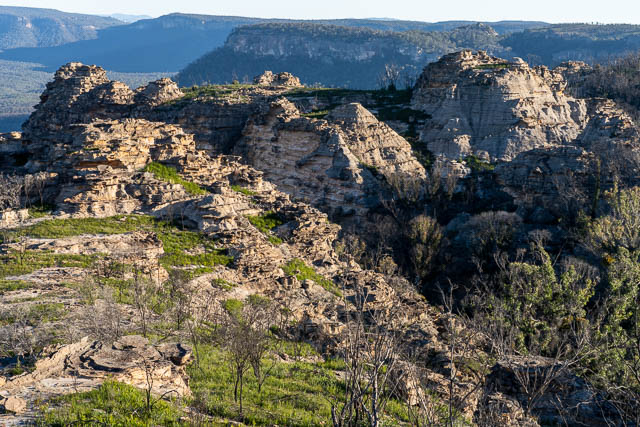
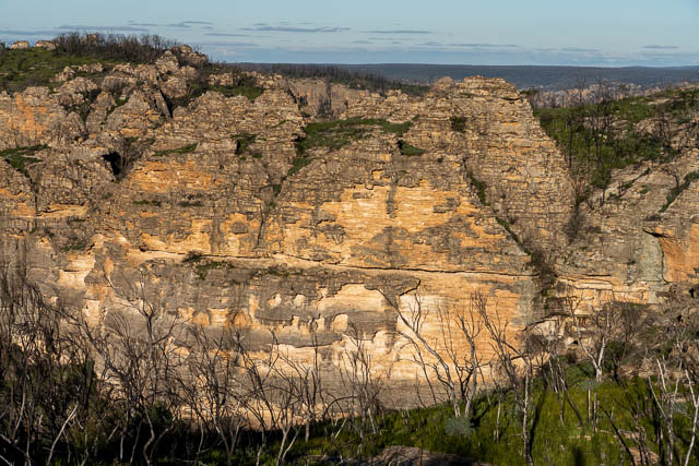
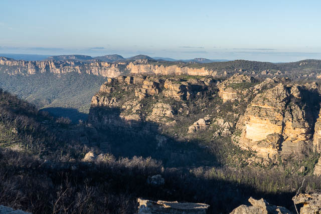
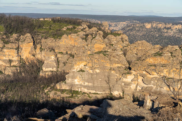
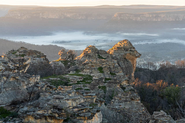
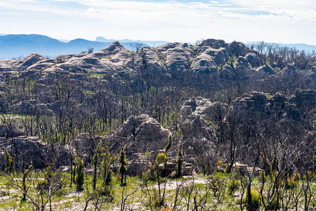
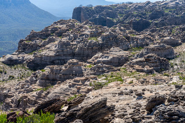
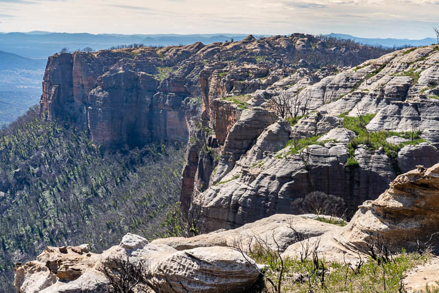
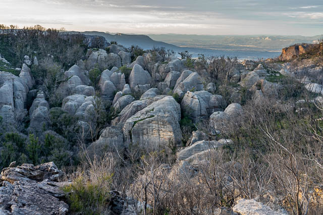
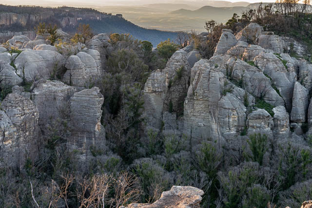
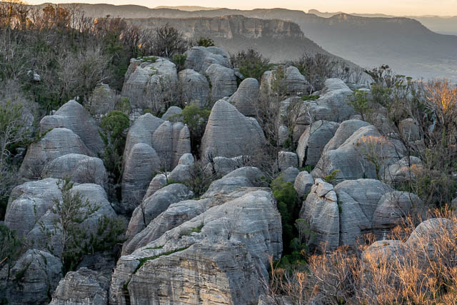
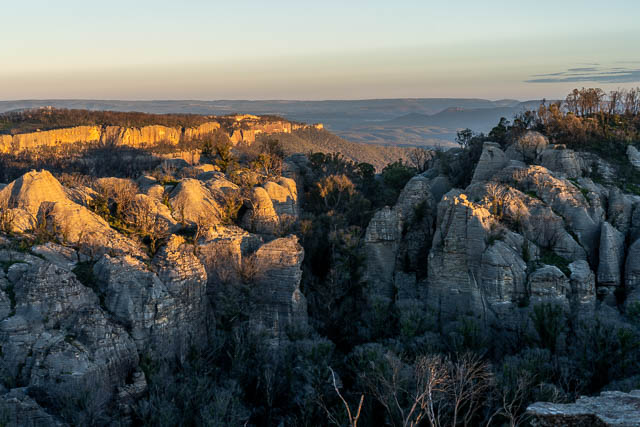
The trip was in both Wollemi and Gardens of Stone National Parks as well as the stage 2 proposed additions for Gardens of Stone National Park. One of the great attractions of the area are the high camps with their views of some truly magnificent country – both the huge cliffs of both valleys, but also closer scenery – the intricate rock formations – the pagodas, the domes, pinnacles, slots and rock towers. In this area, water can be scarce at times – but recent good rainfalls should take care of that.
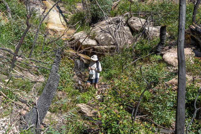
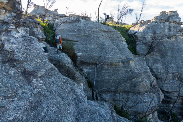
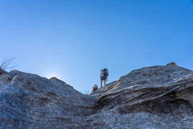
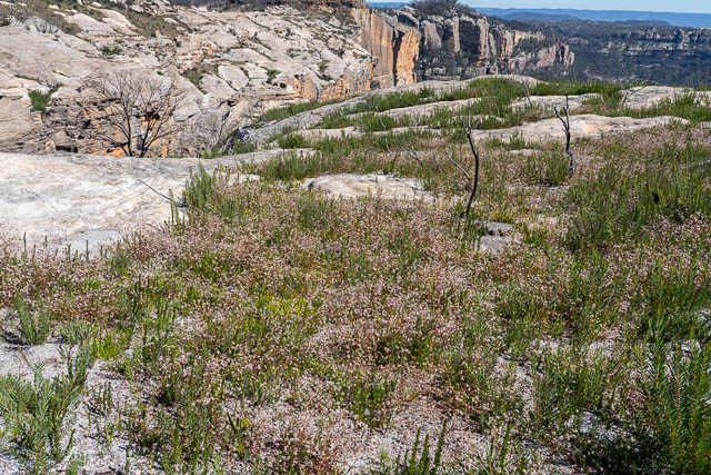
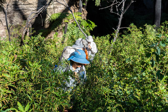
After parking below Donkey Mountain about noon, we crossed a swampy creek and started climbing up to the tops of the Wolgan – Capertee divide. I had been up via this route a number of times and had previously found in relatively straightforward – but this time it was a lot more challenging. The first section was scrubby – through head high weeds and other post bushfire regrowth. The good rainfalls since the bushfire of the summer of 2019/20 had resulted in some amazing regrowth. A lot of opportunist post fire plants – such as Incense Bush and Wattle had sprouted. It was tough going. Higher up, the rock seemed very fragile and also the route seemed a lot more complex than what both Martin and myself remembered. We both though some parts must have changed – perhaps due to rock fall.
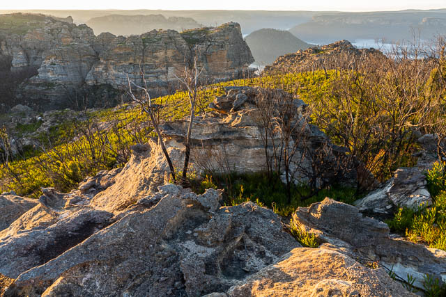
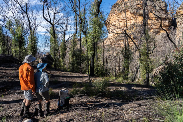
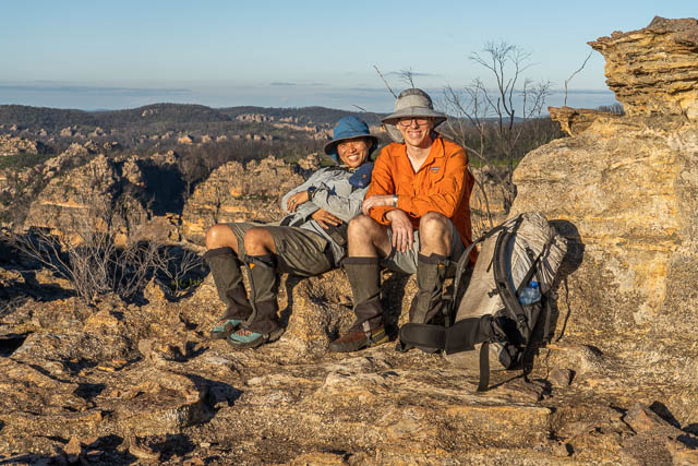
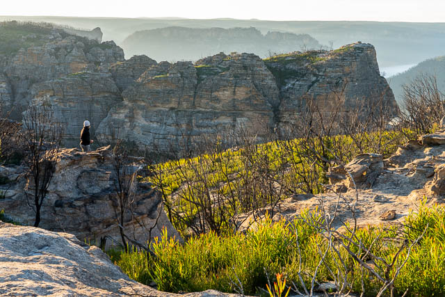
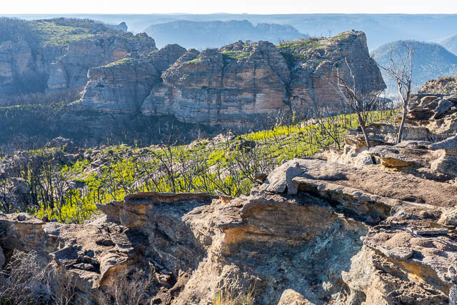
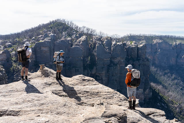
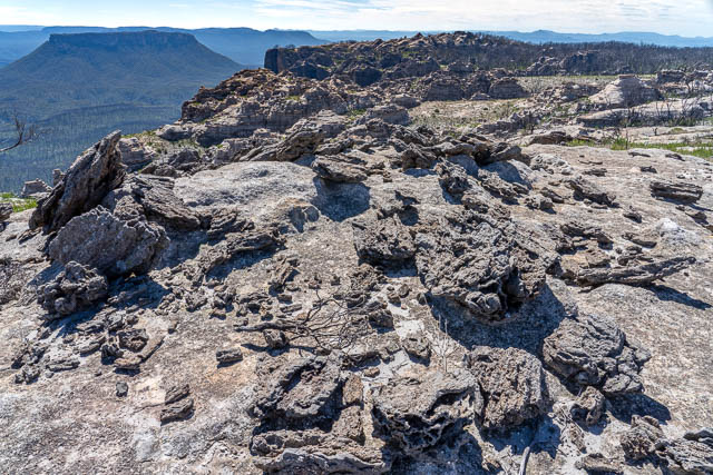
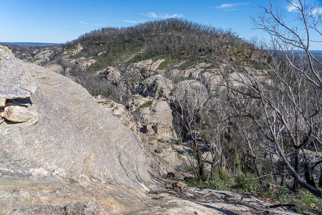
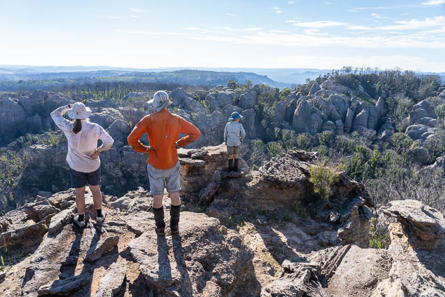
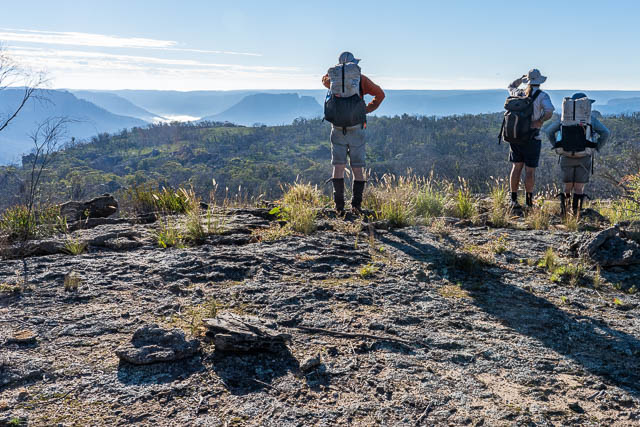
But we eventually made it to the tops. The views from the cliffs were excellent and we found a shady spot for a well deserved lunch break.
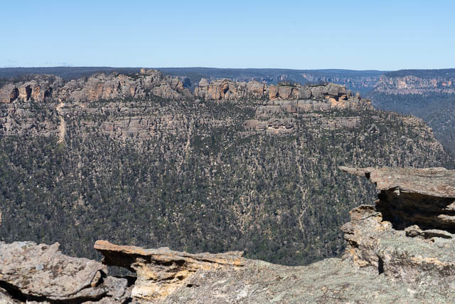
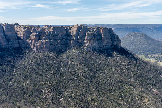
We could look across to Donkey Mountain. It had been completely toasted by the bushfire.
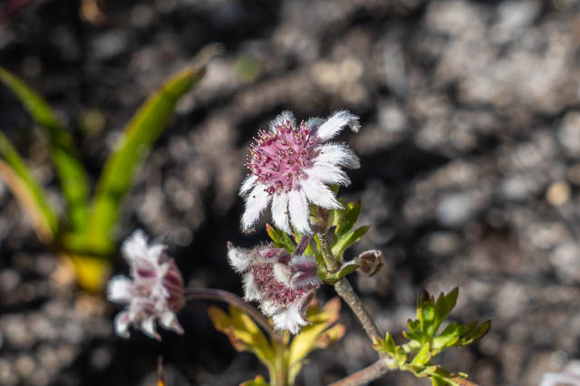
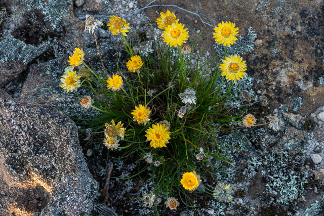
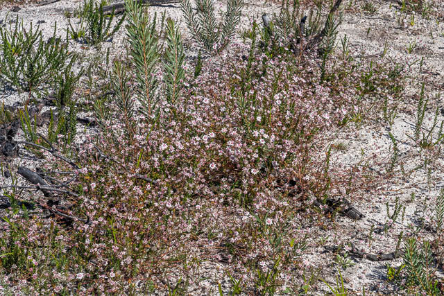
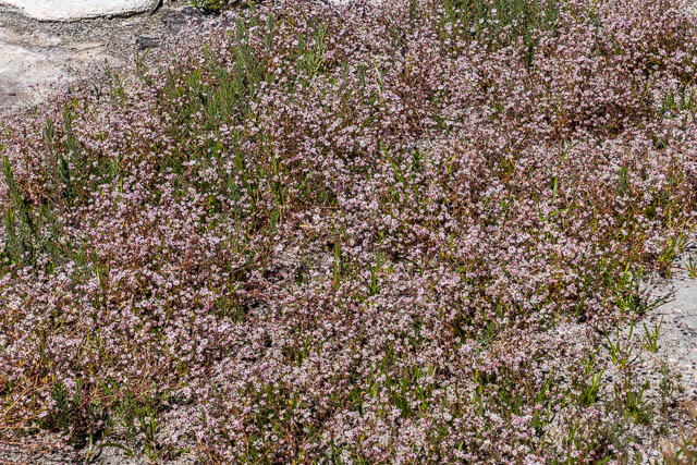
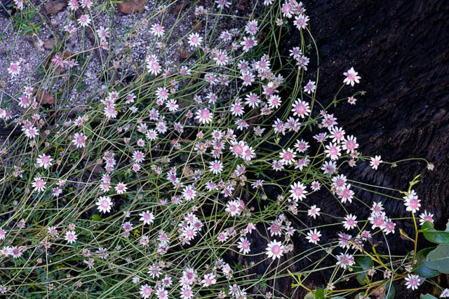
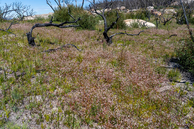
After our break, we set off along the tops. There was a lot of fresh growth to contend with – but most of it was easy to walk through. We even spotted some pink Flannel Flowers.
At Collett Gap we ran into another party of bushwalkers. A rather large party of 22 people.An old friend, Luke, from Springwood Bushwalker days was in the party and we found they were heading the same as as us. However the leader was following a GPS track and they seemed to be veering off from the way we wanted to go. Both Martin and myself knew of a nice easy ramp down to Woolpack Gap. We went that way and soon reached a flowing creek.
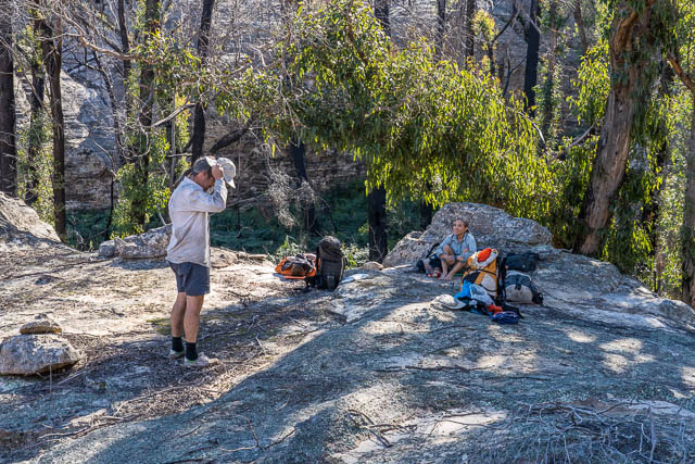
We stopped for a drink and then filled up our containers for a high camp. Near the creek was a campsite. And we thought that may be where the other party intended to camp. We only stopped long enough for me to recover from a nasty heat – and dehydration related cramp. Thanks to Su Li for a powdered remedy.
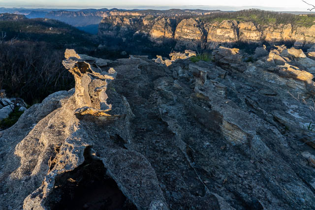
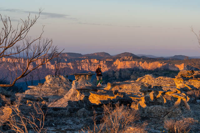
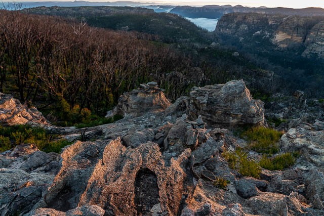
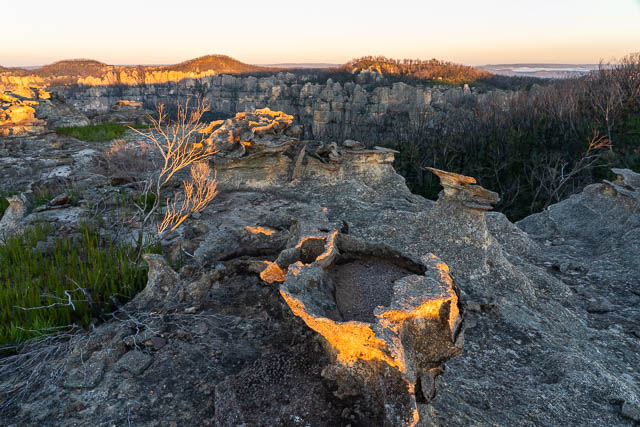
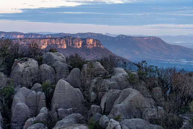
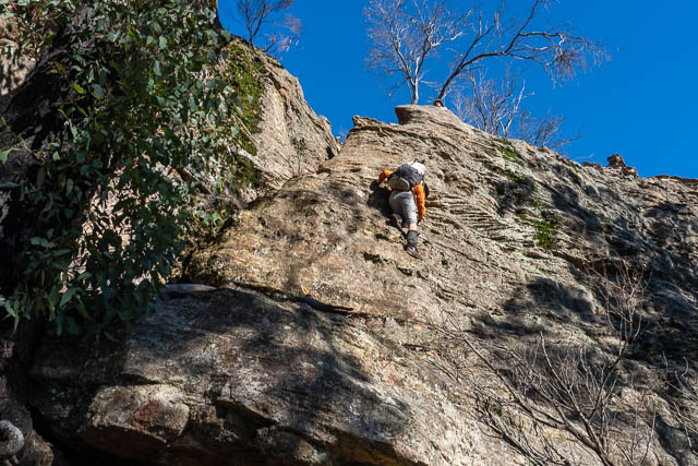
We climbed up a ridge and then around Woolpack Rock and up a convenient slot to the tops. Some easy pagoda scrambling brought us to a large rocky area with amazing views.
I had camped in this area on the 2018 trip and knew it was good.
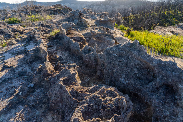
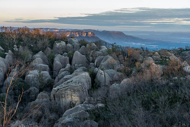
it was nice to spend the late afternoon wandering around with my camera.
Martin had set up his shelter on the rocks –
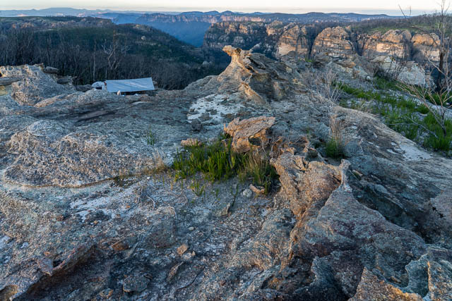
You can see our campsite to the right of the rock pinnacle.
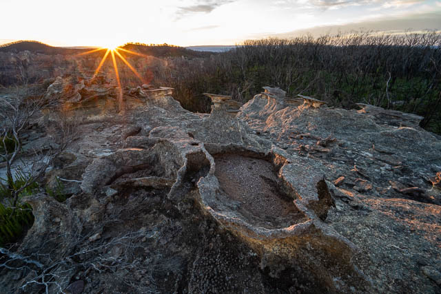
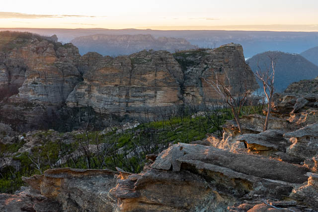
Martin woke us early to watch the sunrise.
This was a very special spot to be in.
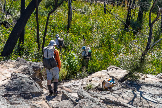
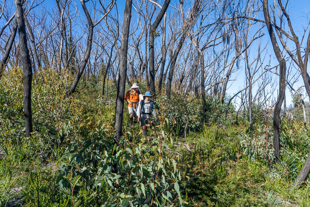
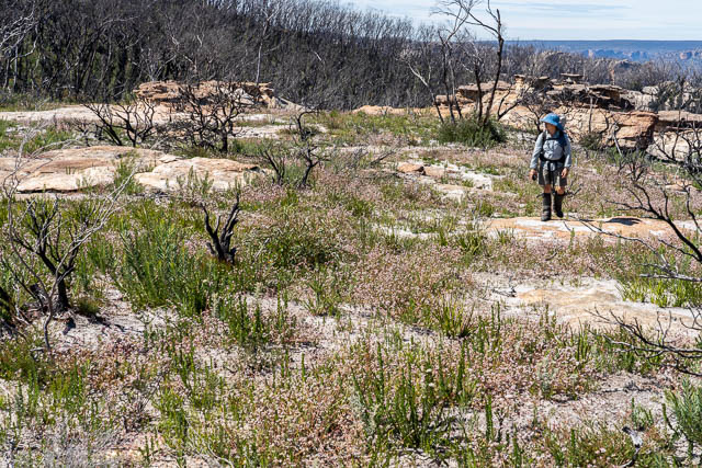
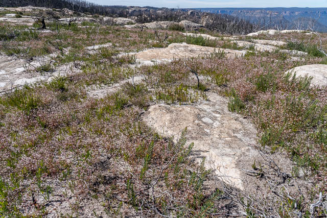
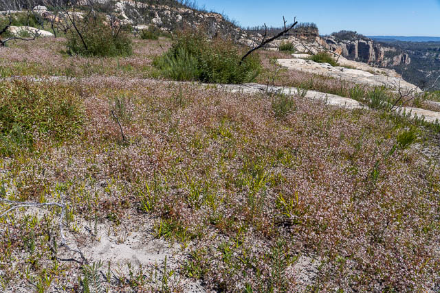
After breakfast, we set off once again through the regrowth.
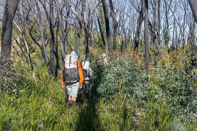
There are a lot of dead trees. When they eventually fall down, walking on these tops may become very difficult with a lattice of logs to negotiate.
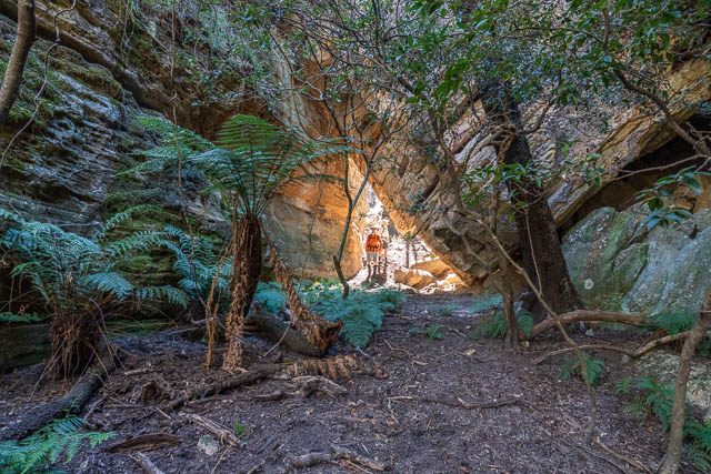
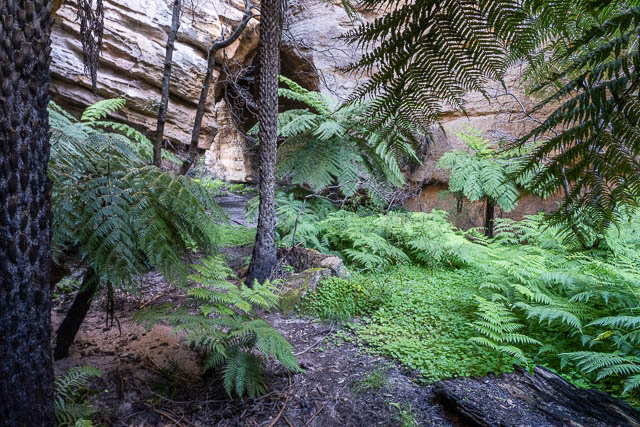
The next obstacle is Hughes Defile, but again, Martin and myself remembered the easy route in and out.
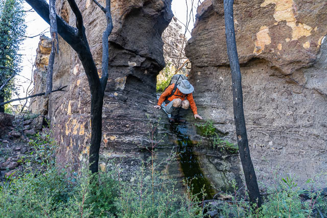
There are several ways to cross the next gap – Blue Rock Gap. We chose the way that goes through a small canyon like gulph. We obtained more water from some drips – but it was but brown coloured.
It was too early to stop for lunch at the far side of Blue Rock Gap, so after a short break we continued on.
Just past Mt Davidson is a great campsite, one that I have used many times. This time we stopped there for lunch. We first went down a nearby creek and soon found clear flowing water. We filled up all our containers ready for that evening. WE then headed a realising lunch break.
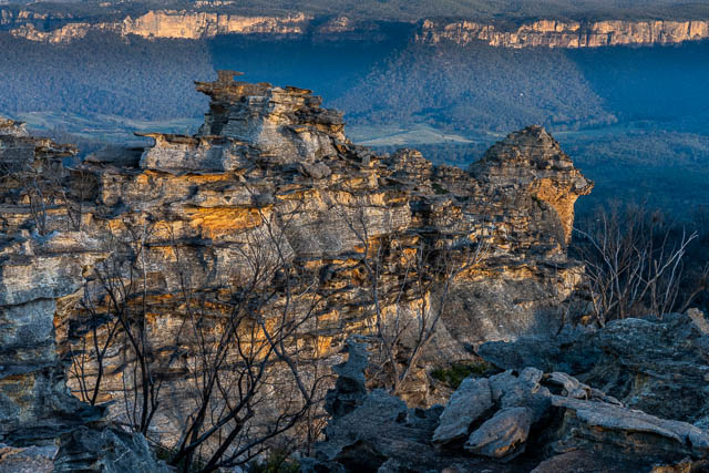
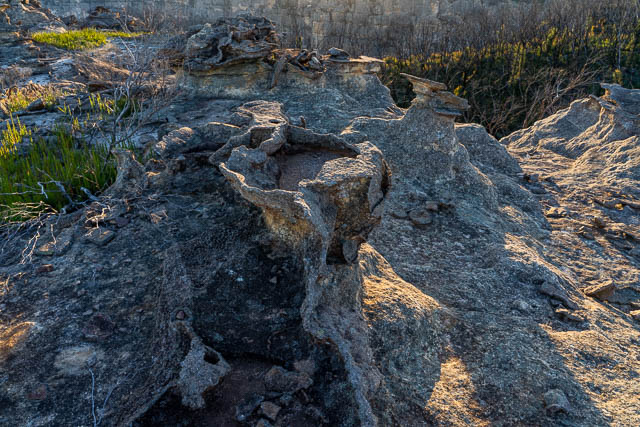
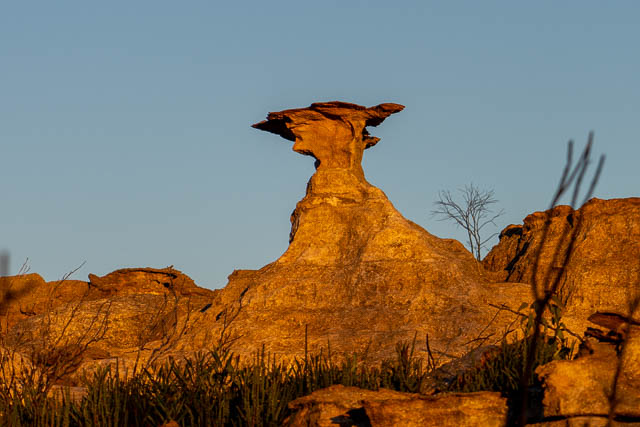
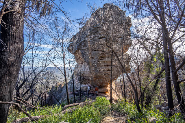
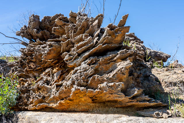
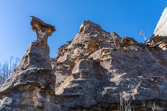
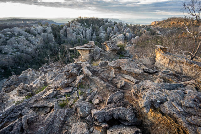
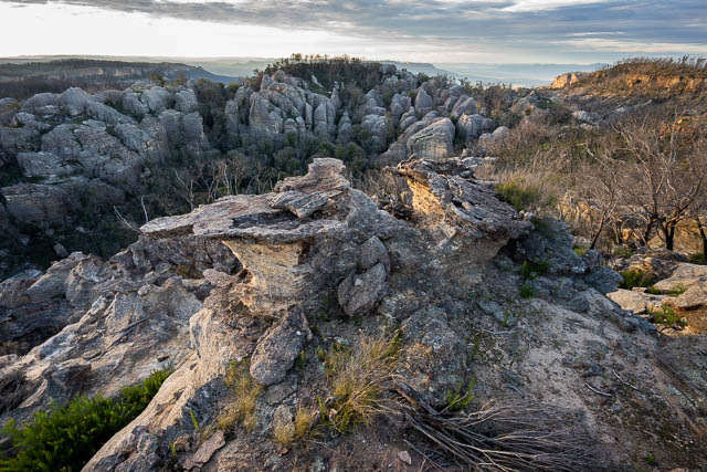
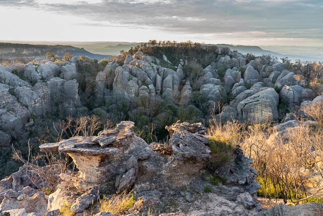
This area is adjacent to part of the tops known as “The Exploded Pagoda”. Its a great spot for dawn and dusk photography. But in the harsh mid-day sun, photography was difficult. As well as the rocks close by, there were lots of pink Flannel Flowers. A best past their prime perhaps.
We could look over to the high domes near Point Cameron.
Justpast the Exploded Pagoda, we crossed another defile, and then continued on towards McLeans Gap.
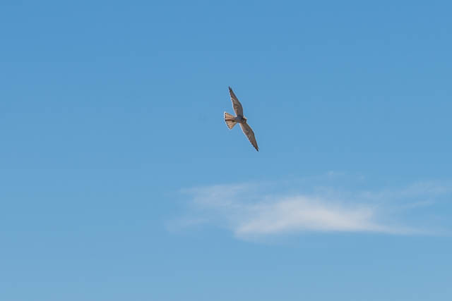
At one spot, three Nankeen Kestrels flew past us –
We wanted to camp on the far side of McLeans Gap, and as it was too hot to be on an open ridge, we stopped for long rest in shady spot jest before the gap.
We later crossed the gap and battle more high regrowth to climb up onto the Great Dividing Range.
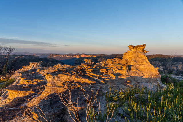
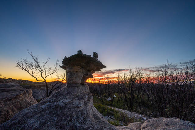
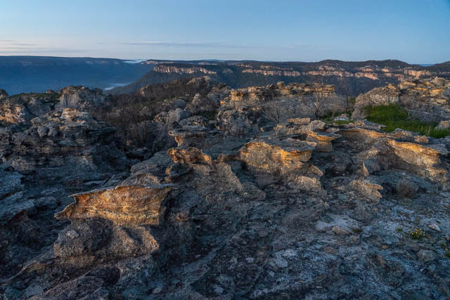
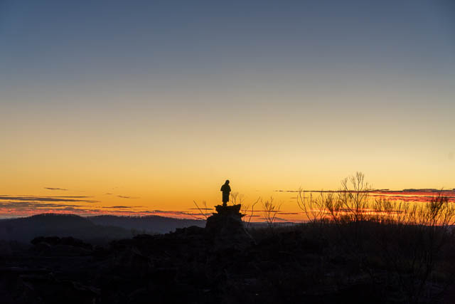
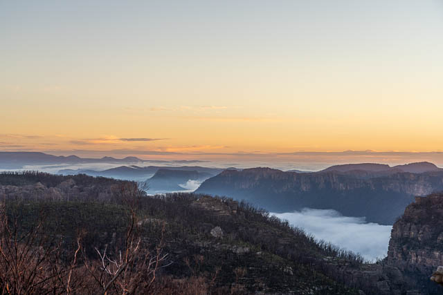
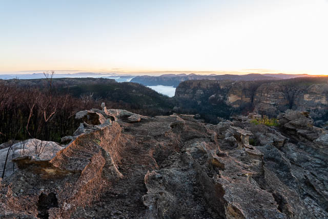
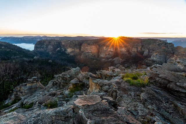
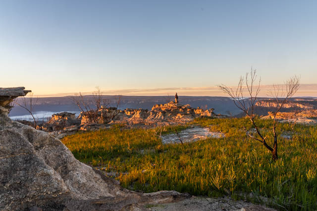
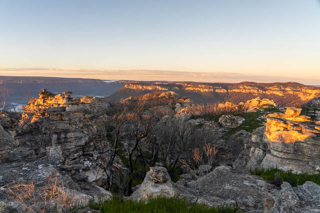
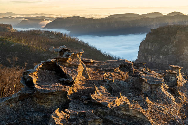
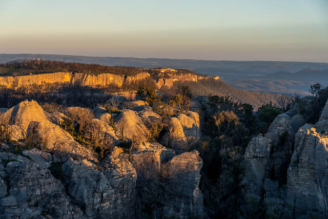
We camped that evening near this lookout.
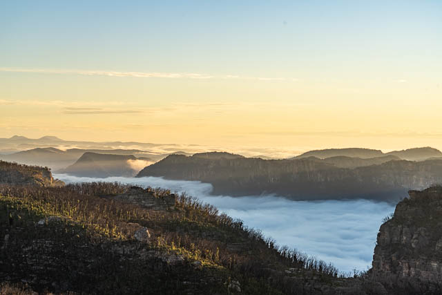
I returned to it for dusk and dawn photography.
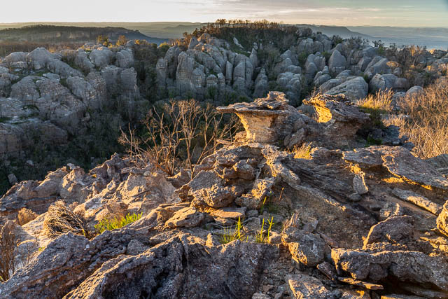
And now for dawn –
We didn’t have that far to walk on the last day. We continue along the tops to the Cape Horn Fire Road.
At the end of the fire road, we located a pass down the cliffs, then walked out towards Cape Horn.
Before Cape Horn, we turned off to the north and sidled around below the cliffs. I though this section may be slow and difficult due to regrowth – but is was not too bad and we made good progress and soon reached the ridge below Cape Horn. This starts off very steep and with surpisingly little regrowth, it required some care to descend. Lower down the ridge levels off and then it is easy walking to reach the Wolgan Valley Road. There we left our packs, with me staying to guard them, while the others made quick progress back to the car at Donkey Mountain.
Another great walk in the Mountains!
Hi Dave
I’m intending to go up the divide from wolgan road, parken nesr the Monkey mt trail head. However, I wonder what route to take to get up there . Any advice would be appreciated
Gerwin Janssen
I mention the route we used in the article. We parked at the Donkey Mountain car park, and then went up onto the Wolgan tops from there – straight up a ridge. But it was rough going and tricky in a few places – with loose rocks. It seemed a lot harder than previous trips using that route. We thought there may have been a landslide perhaps that changed things.
But also note that access into the Wolgan Valley is now a lot more difficult while the road remains closed. So you may want to consider access from the Capertee side?
Hi David I’ve been pondering a traverse from Colo to Newnes/Glen Davis along either the Capertee or Wolgan Rivers for many years. I wondered if you had come across any literature on either of these walks having been done. I fully appreciate how wild this part of the world is.