
I headed up the mountains with Bob for four days of canyoning. We first went to the Wolgan Valley. The plan was to camp in the valley and do day trips to various canyons.
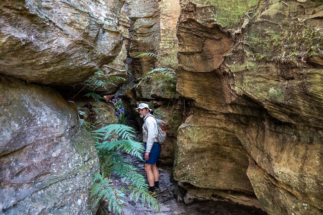
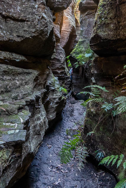
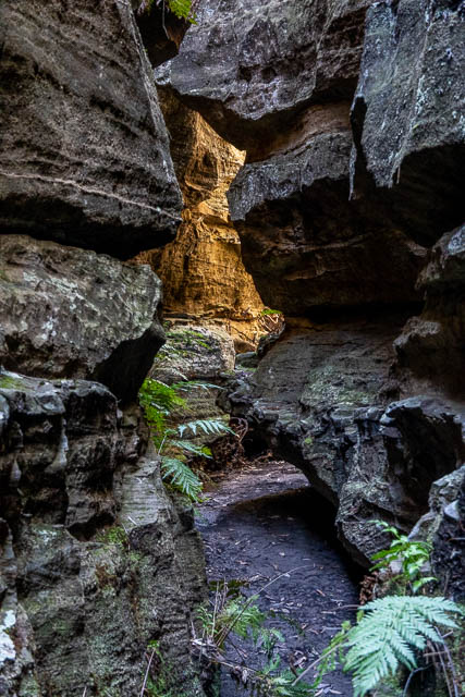
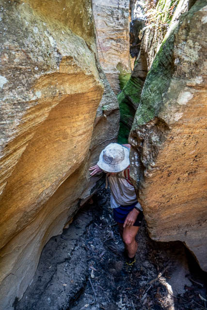
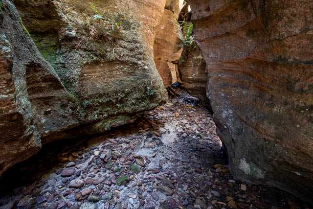
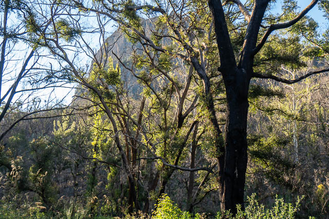
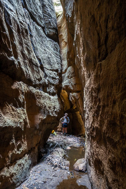
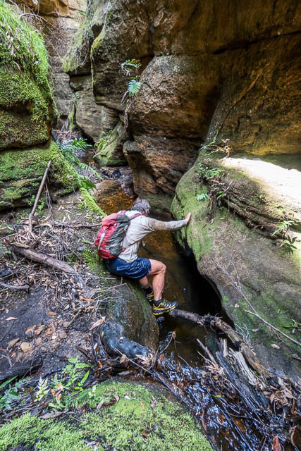
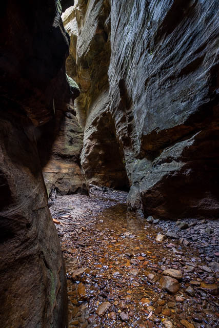
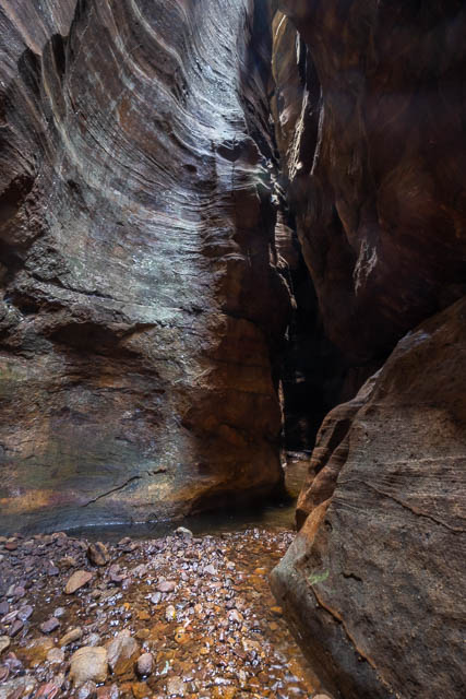
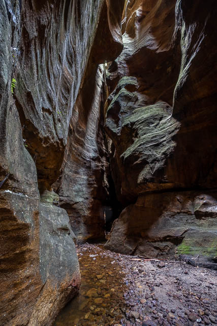
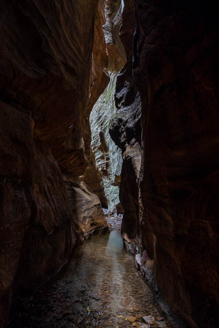
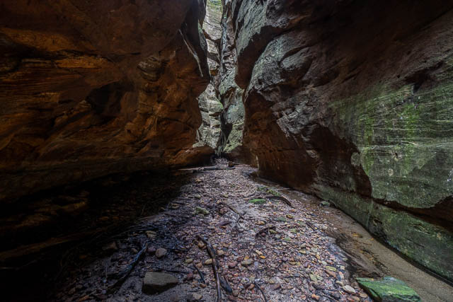
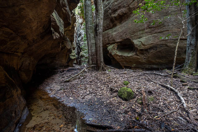
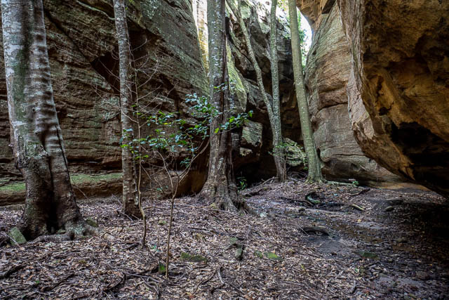
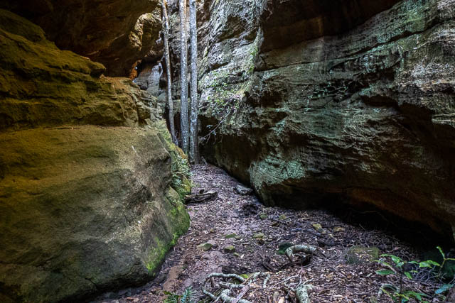
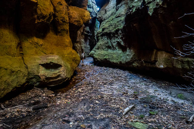
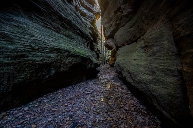
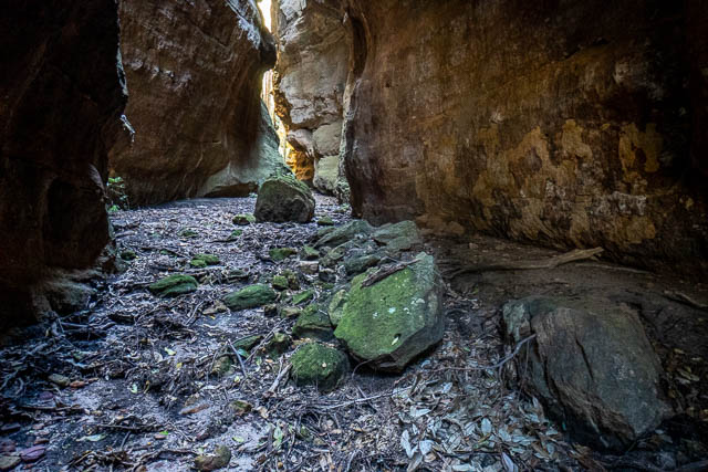
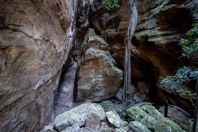
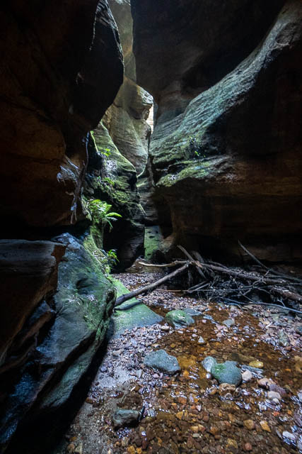
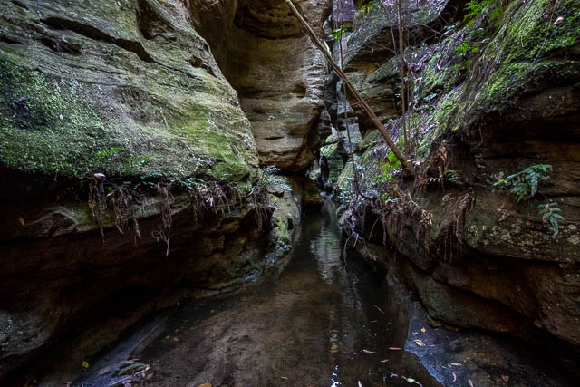
On the way to Newnes, we visited a short canyon. This one was easy to get to and did not have any swims. It was a trip up through the canyon and then back the same way. Here are some photos taken in the canyon –
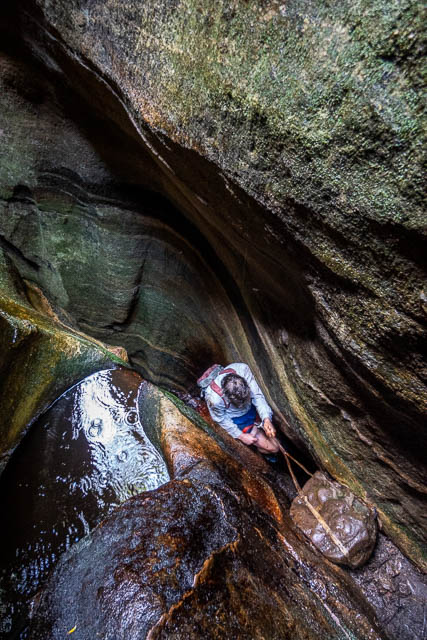
Here is Bob starting the return down the canyon – the top part is quite narrow.
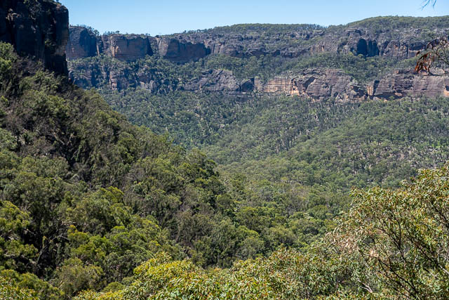
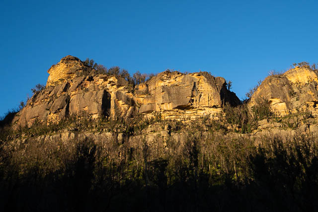
Lower down you get a good view of the Wolgan Valley.
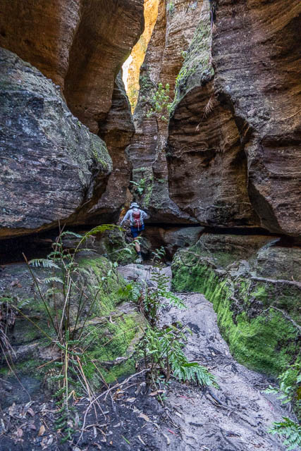
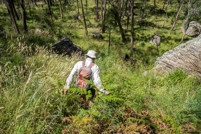
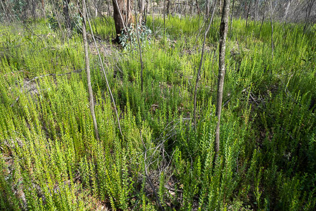
And then we descended through very thick and high regrowth.
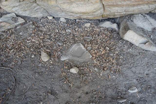
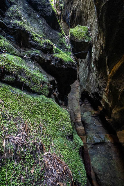
We passed by a rather nice overhang and thought it could have been used as an occupation cave by Aboriginals. We didn’t find any art, but one rock on the floor looked like it may have been shaped into a bowl.
We then continued to Newnes and walked down the valley towards the Pipeline Track. I knew of a good campsite in that area. But, when we arrived the regrowth after the bushfires and then good rain had resulted in massive regrowth. There were no flat grassy areas and also no shade trees.
So we crossed the Wolgan River and camped nearer to the ruins. We found a shady grassy spot, but the limited tree cover meant that the shade constantly moved – so we had to move to follow it. For the duration of our stay we had very hot weather.
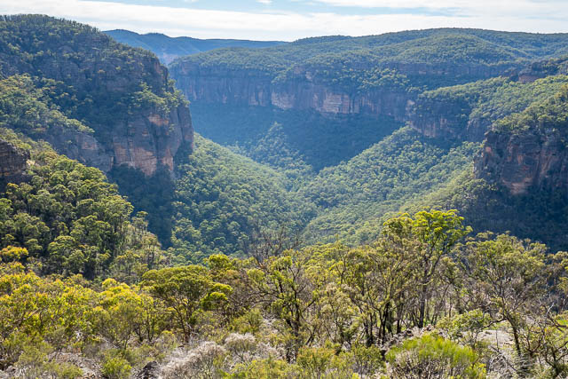
The next morning, we started early to beat the heat and were soon climbing the Pipeline Track. Our plan was to visit Devils Pinch Canyon, arguably the best canyon in the area.
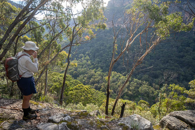
We visited the Pagoda Lookout at the top of the climb –
Then we followed the Capertee-Wolgan Divide towards our canyon. The old track was not that easy to follow after the fires and seemed to vanish close to where we would have turned off.
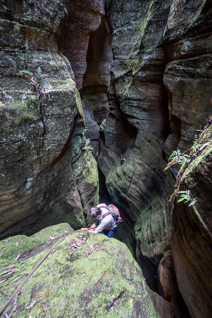
It was easy however down to the top of Devils Pinch Canyon. But at the start, we could not see the usual belay point. We did see a belay point further along that can be used for a longer abseil, but I prefer going via the slot.
We set up the rope around one of the trees and abseiled a short way down. From the top it looked like the second belay point was also gone – a sling around a high chockstone. We could have climbed up and threaded a new sling, but it looked easier to use a lower chockstone in the creekbed. I was able to dig behind it and rig a short sling.
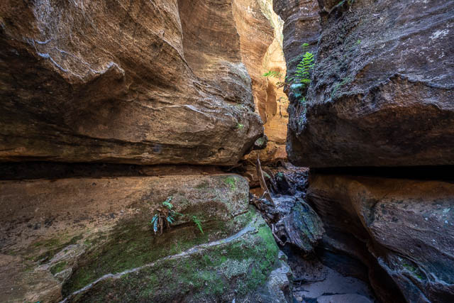
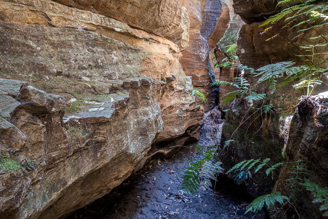
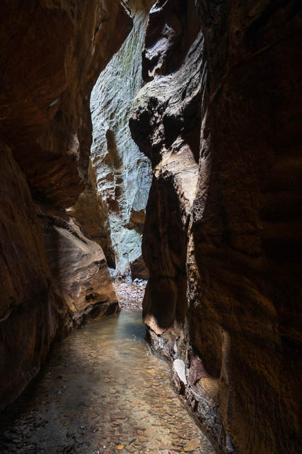
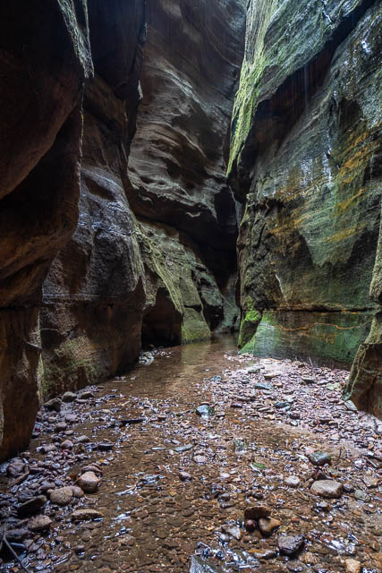
The second abseil took us to a nice narrow section of canyon.
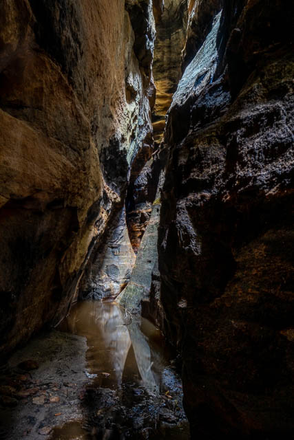
This upper constriction is very short – but it is spectacular.
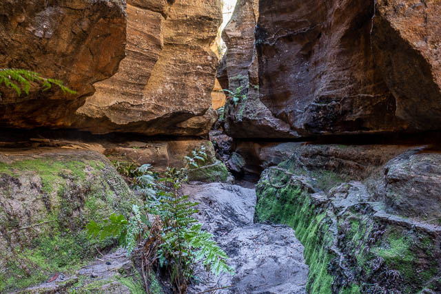
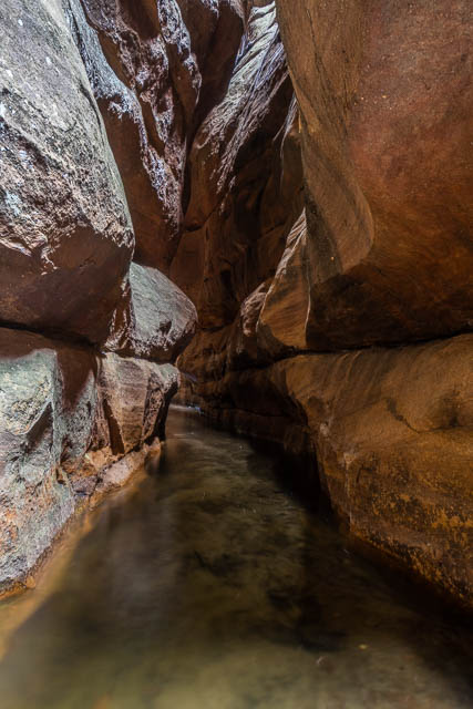
Then follows some easy walking that takes you down to the lower constriction.
The canyon has very few swims that can’t be climbed around.
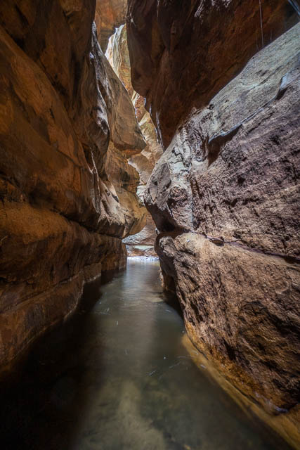
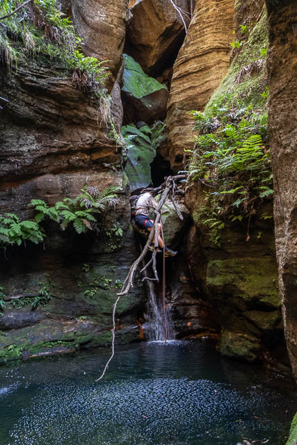
The climax is lower down. You reach a much larger drop. I knew our 45m rope would just made it down.
Below this abseil is a really fine section of canyon. The walls are quite narrow and are very high. It is a quite remarkable feature.
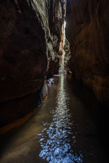
The canyon ends in this fine corridor of Coachwood Trees. We had planned on stopping here for lunch, but it was a bit early.
So we continued on to the Wolgan River. The descent was overgrown, but for most of the way we found a rough pad. At the bottom we found a shady refuge for lunch. Then we walked back via the road to the ruins and our campsite.
The next morning, with another very hot day forecast, we again set off early and repeated our climb up the Pipeline Track. This time we visited Pipeline Canyon.
We went in via the upper constriction. With carful route finding it is possible to scramble down into this. It is like a mini version of the lower constriction of Devils Pinch Canyon, complete with its own Coachwood Corridor. It is probably the finest part of the canyon – and is an easy and dry walk through.

When the constriction ends, it is a short way down to the lower constriction. This lower section is more of a sport canyon with a series of abseils close to each other. No parts are particularly deep or dark. There are six abseils.

Most of the abseils are a bit awkward – with tricky starts or finishes. There are a few short swims.
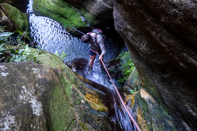
Look at Bob on this short nasty abseil.
The abseil below is another short tricky drop – the second last abseil.
The last abseil takes you down to the talus slope. It was shady – so we had an early lunch and then walked around the base of the cliffs to the Pipeline Track and then descended to our campsite.
At the campsite. we packed up and headed back to Bob’s car at Newnes. Originally, we planned another day of canyoning in the Capertee Valley. But I was finding the heat quite hard to take and didn’t look forward to another campsite with limited shade. I also complained about a sore shoulder. So we decided to head to Blackheath and visit Grand Canyon the next day.
Great review David, I am glad I read it before we attempted our trip down Devils Pinch. A group of us went down on the 5th December 2021. The turn off from Starlight track had to be done using map and compass as the vegetation has recovered nicely. We managed to find the head of the canyon and follow the trickle of water to the 1st belay point (the larger abseil). None of us had done this canyon before so we were unsure where the abseil point was until we actually reached it.
The walk down from the upper Constriction had a section with trees / logs blocking it. It may have been possible to climb over but the drop was about 5m so we went under.
After being amazed by Starlight the day before, this was another level up, in my opinion. It has more swim / splash sections, frogs along the creek floor, spiders on the walls. We even found the jaw bone of a kangaroo / wallaby in the lower constriction.
Some of us walked out to the left and the rest did the slippery abseil down the waterfall.