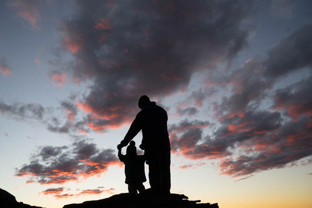
It was time to head back to Donkey Mountain in the Wolgan Valley. This time we only had a small party – John, Chuin Nee, their young son, Jasper, and myself. This would allow us to only need a small campsite – and we could camp high up on the south western end of the main peak.
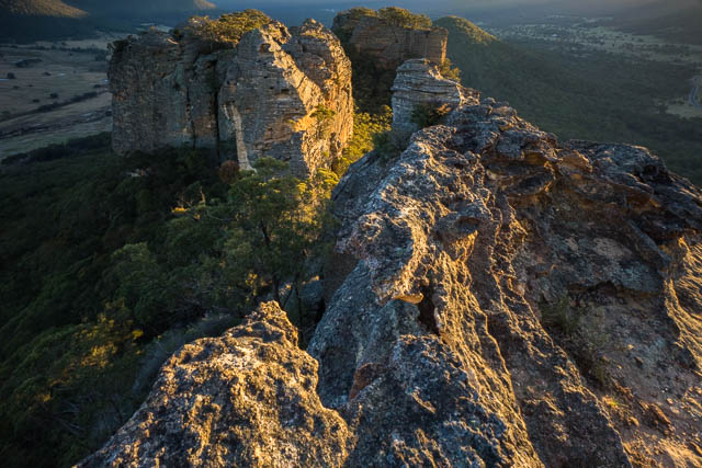
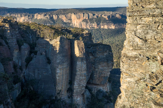
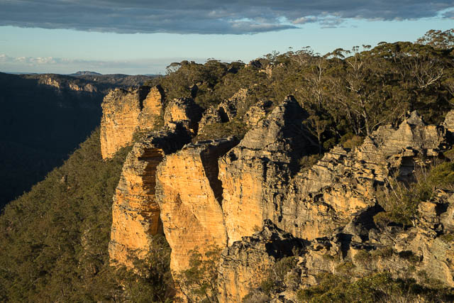
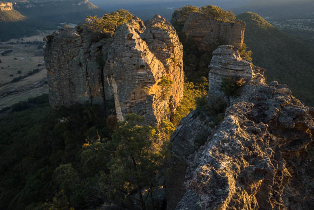
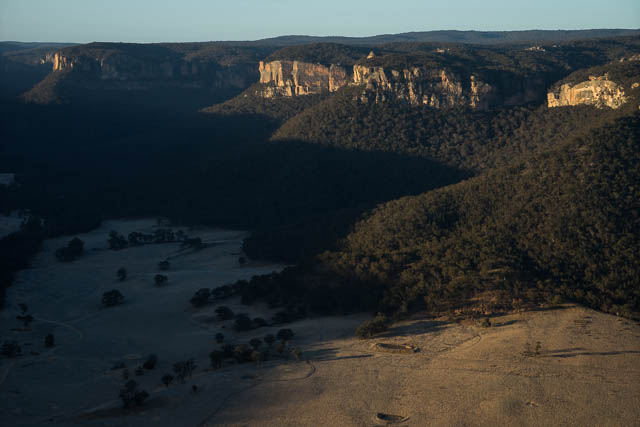
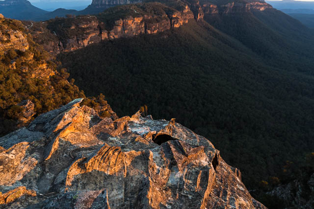
I had long wanted to see what sunset would bring from that end of the mountain – with low light on the two towers that lie to the south west.
After parking the car and crossing the style – we set off up the mountain. The usual way up is to more or less follow a fence line which heads up to the saddle between these two south western towers. After a while the fence ends, but you more or less head up the same direction. In places there are faint tracks and pads – but you don’t really need a track. Any steep sections can be bypassed easily.
We reached the saddle and continued on around the base of the first tower and then up a ramp onto the main part of the mountain. After admiring the views, we set up camp on a small flat nearby.
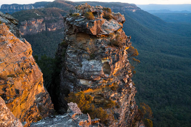
It was now late afternoon (we had started late) – so I scouted out some sites for photos. We had a very pleasant time wandering around. Very close to our camp was the actual summit of Donkey Mountain. This is an impressive pinnacle that has probably never been climbed. It certainly looks quite hard to climb!
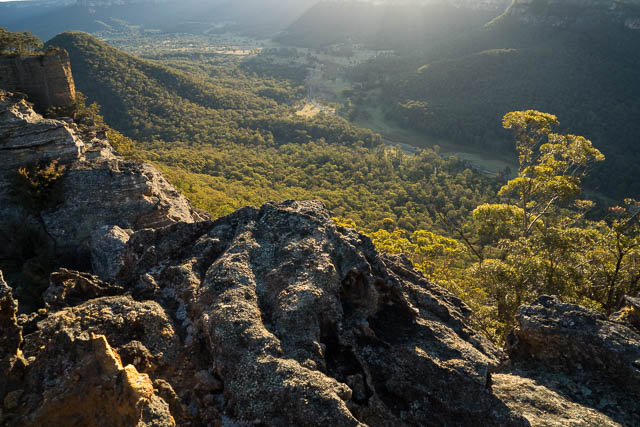
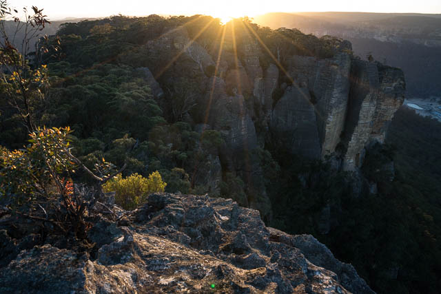
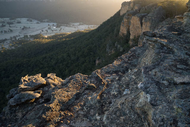
This section of Donkey Mountain is quite thin. There are great views of both side of the Wolgan Valley. The best views are looking towards the two towers that lie to the south west. To the east we could see a tourist resort down in the valley. Looking along the north side of the mountain, we could see some the ends of some of the slots that cut through that part of the mountain. Donkey Mountain is quite small in extent but very complex.
We enjoyed a nice sunset and then retreated to our warm fire. The weather was cool but very calm.
In the morning, Chuin Nee and myself got up to photograph the sunrise – which was a bit difficult from our end of the mountain.
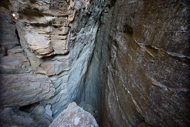
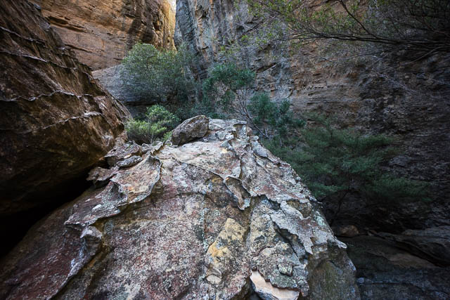
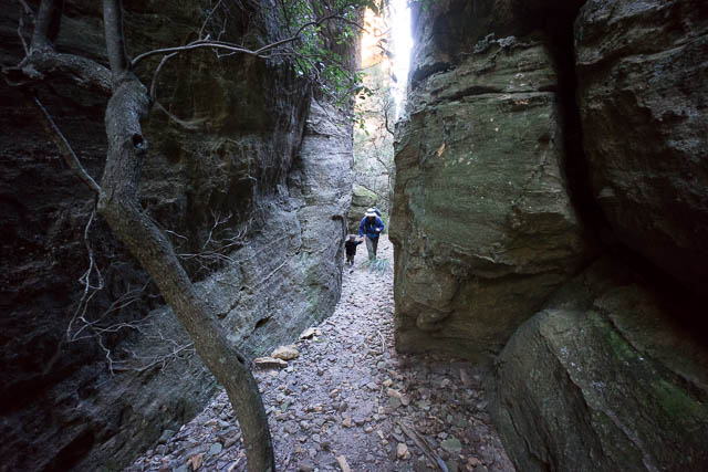
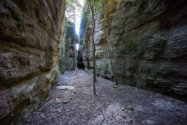
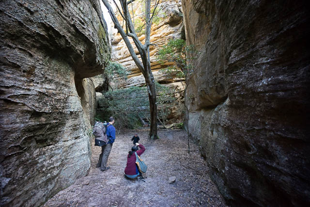
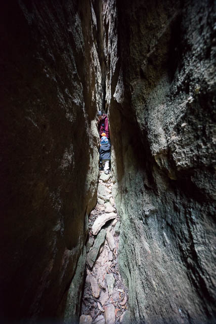
After breakfast, we left our gear where it was and set off exploring. We continued along the mountain following a high route and then descended around the northern cliffs and entered one of the chasms – a narrow slot that enters the mountain. The north eastern section of Donkey Mountain is rent with these chasms. They have formed by a jointing process – and typically there is one parallel set of chasms and another parallel set that is at a transverse angle. Some of the slots are very tight, some are blocked by boulders. Some open up into enclosed chambers. The result is a maze well worth exploring.
A log book can be found in one of the larger chambers and it recorded the names of a lot of recent visitors. I have written on this blog before about visitor impacts to this fragile place. On this visit – we didn’t see too many signs of hoards of walkers on the top of the mountain – so most visitors have been quite careful not to damage the delicate rock formations or leave route markers. We were disturbed however, to find several constructed camp fires. We did our best to restore these back to bush. And we carried out the inevitable rubbish – tin cans and foil that reside in the ash. People who visit areas in the Greater Northern Blue Mountains should make all efforts to have minimal impact – particularly at their campsites. Scatter sticks and leaves back over campsites to hide them. Bury and fire scars and again cover with leaves to leave very little signs of your visit. Please keep things like this so other visitors can enjoy the area in a pristine state.
We then headed back to our campsite and packed up and slowly climbed down off the mountain – the same way we had come up. On the way down we did seem to notice an extraordinary number of ducks (cairns) – all over the place! Surely not needed. The descent is not hard – and route finding your way down is straightforward.
On the way back to Sydney, we detoured out to Boars Head at Katoomba to watch the sunset – which was quite nice.
More photos are on my website – Donkey Mountain photos start on this page, and Boars Head Sunset here.


Hi There,
I just wanted to know what maps would I need to look at to do this hike? Where do you start and end?
Is it accessible by public transport?