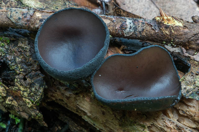
This was quite a long and strenuous walk at Blackheath, particularly so with stops to photograph waterfalls and fungi. But it was very worthwhile and spectacular.

I caught an early train to Blackheath and then walked the 30 minutes to Govetts Leap Lookout. I was going to do this walk a few weeks ago – but it was far to wet on the day. On that occasion, I had descended to the base of Govetts Leap and found the water too high for the series of crossings needed to traverse Rodriguez Pass. This time, the water level was a lot lower, so I was confident that I could cross all the creeks.

I walked to Evans Lookout via the clifftop track. On the way I stopped at Hayward Gully and deviated a short way from the track to photograph Gossamer Falls.
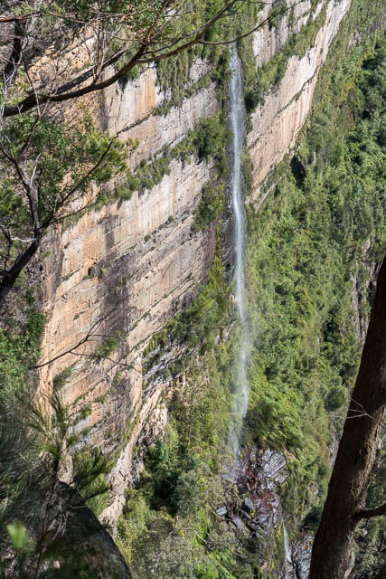
Gossamer Falls
I soon reached Evans Lookout and then descended down to Greaves Creek. On the way I had to pass some track workers. At the creek I turned left and continued down to Beauchamp Falls.
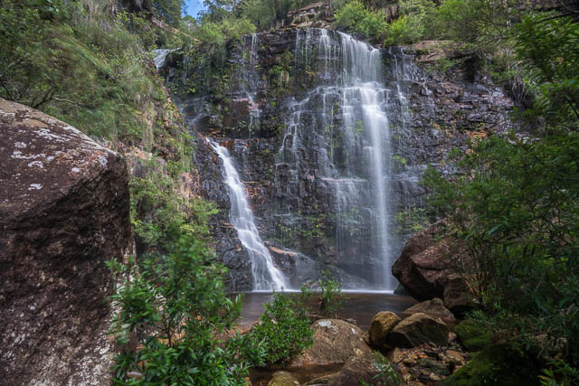
Beauchamp Falls
One of my objectives on this walk was to check and photograph all the waterfalls below Beauchamp Falls and try and work out what was what. Some of the lower waterfalls are depicted on old maps and postcards – but not everything seems certain. The parish map shows three waterfalls downstream – Popes Falls, John Harris Falls and Bettington Falls. Barrow’s 1908 Map of Blackheath shows these falls and also a lower Campbell Falls. According to Brian Fox, there is also a Foy Falls, which lie between Popes and John Harris Falls. All of these waterfalls were named by Thomas Rodriguez, the person responsible for the track being constructed, after the track sponsors. as well as the old maps, there are also online, old photos and postcards depicting some of these waterfalls.
Campbell’s Falls is easy to work out its position. It is the cataract where the track crosses the creek. I assume this includes the small waterfall upstream and a couple of the drops nearby that are downstream of the crossing. Popes Falls can also easily be worked out from old photos – it is the cascade just downstream from Beauchamp Falls. This also agrees with the maps.
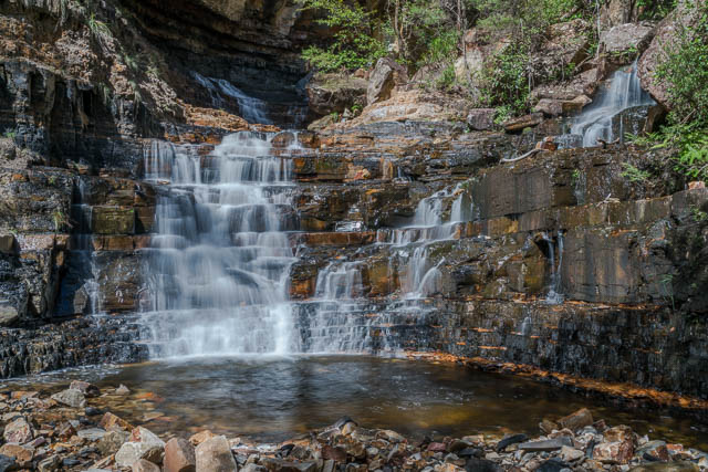
Popes Falls
On my walk, I carefully checked out all the waterfalls. For some, this involved some tricky going to negotiate steep and unstable banks. I found three major waterfalls between Popes and Campbell Falls. One of these waterfalls – the middle of the three is Bettington Falls. My photograph is identical to two separate old photos. One of these is a photo taken by Harry Phillips. The same waterfall has also been labelled as Gem Falls in another old postcard.
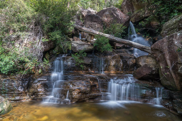
John Harris Falls
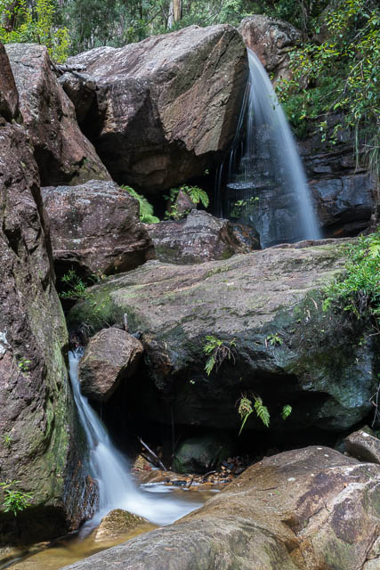
Bettington Falls
The maps show John Harris Falls upstream of Bettington, so that only leaves Foy Falls. it must be the very attractive waterfall between Bettington and Campbell Falls. This is one that is easy to reach from the track.
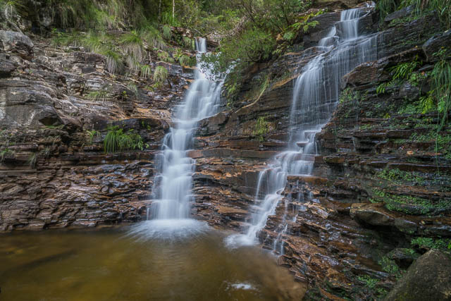
Foy Falls
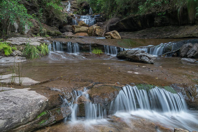
Campbell Falls
After taking photos of all of these falls, I crossed the creek at Campbell Falls and continued down to the valley. On the way I passed a very interesting cluster of waxcaps (fungi of the family Hygrophoraceae). These were of a species that I had not seen before and is perhaps new. Another walker and spotted very similar fungi not long before on the Jungle Track below Horseshoe Falls and emailed me some pictures. So it was nice to find another cluster of what is probably the same species.
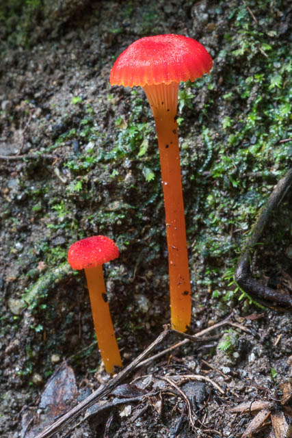
There was a lot more fungi all along the track as I continued to Junction Rock. Also- there were a number of fallen trees – storm damage all along the track in the lower valley. I stopped at the small cascades just upstream of the junction for lunch.
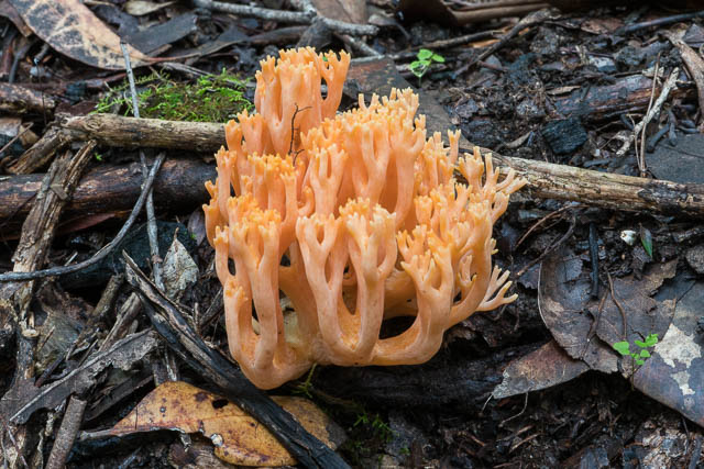
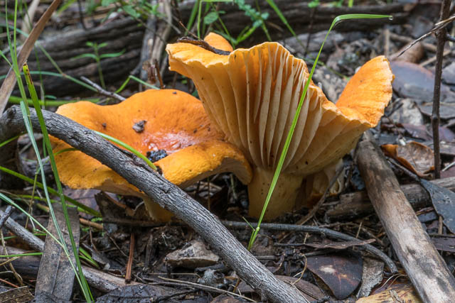
I then continued on my way towards Govetts Leap. On my way I stopped to photograph two waterfalls – an unnamed waterfall lower down, and then Trinity Falls which lie in the creek that flows over Horseshoe Falls. These are a three stage waterfall – hence their name.
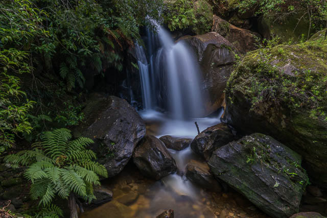
Un-named waterfall
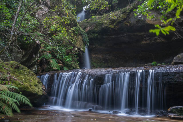
Trinity Falls
I soon reached the bottom of Govetts Leap, and then climbed up the steps to the lookout 250 metres above. I then walked back to Blackheath station.

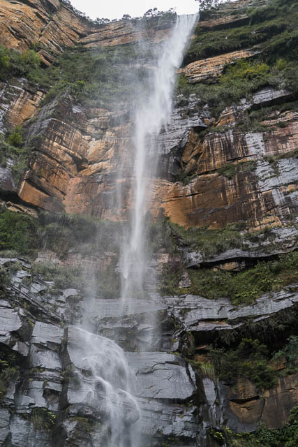
Govetts Leap
More photos of this walk are online on my website here.
